Experience the serenity and natural beauty of Piovene Rocchette through its captivating cycling routes.
Cycling routes from Piovene Rocchette
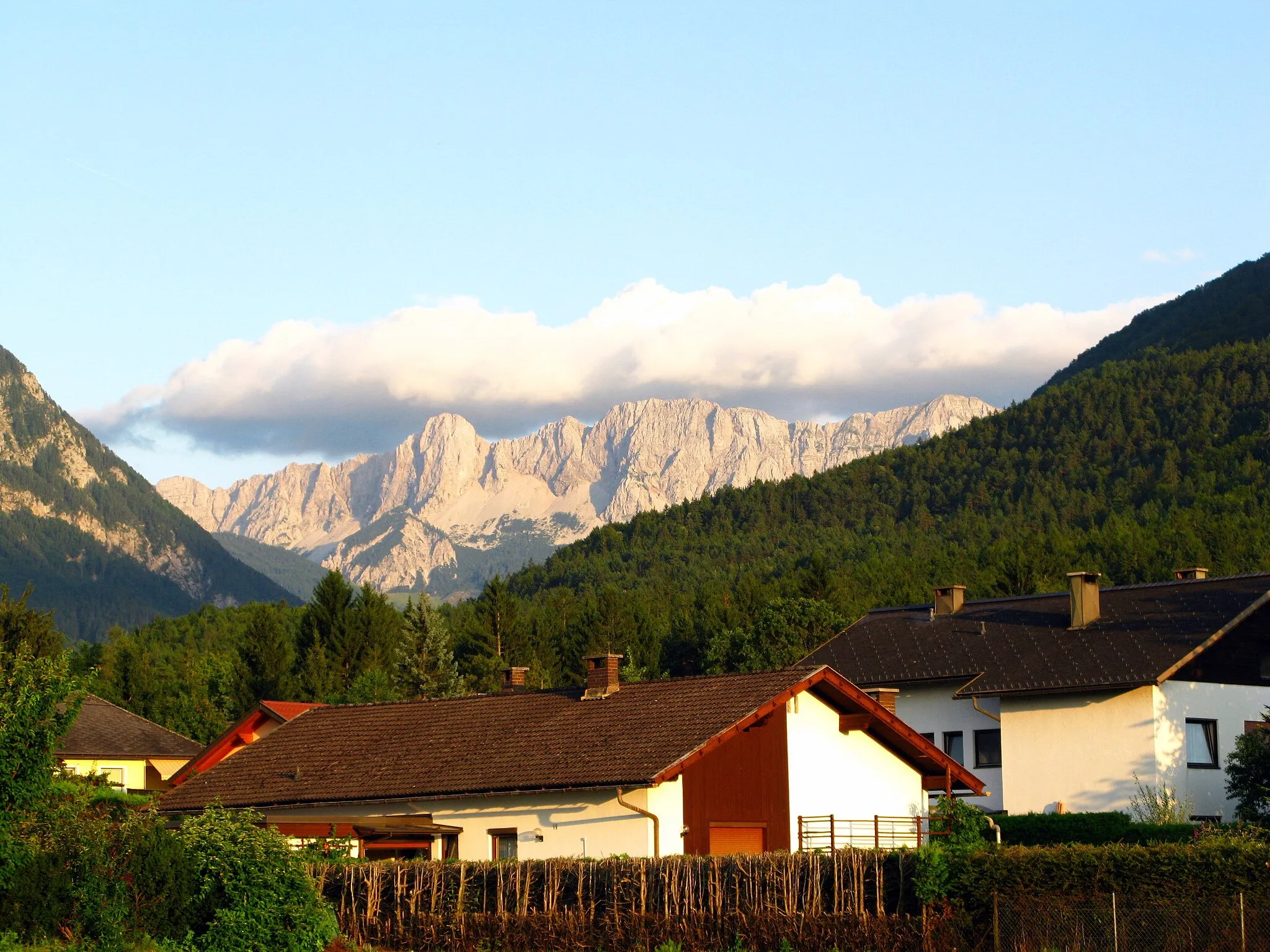
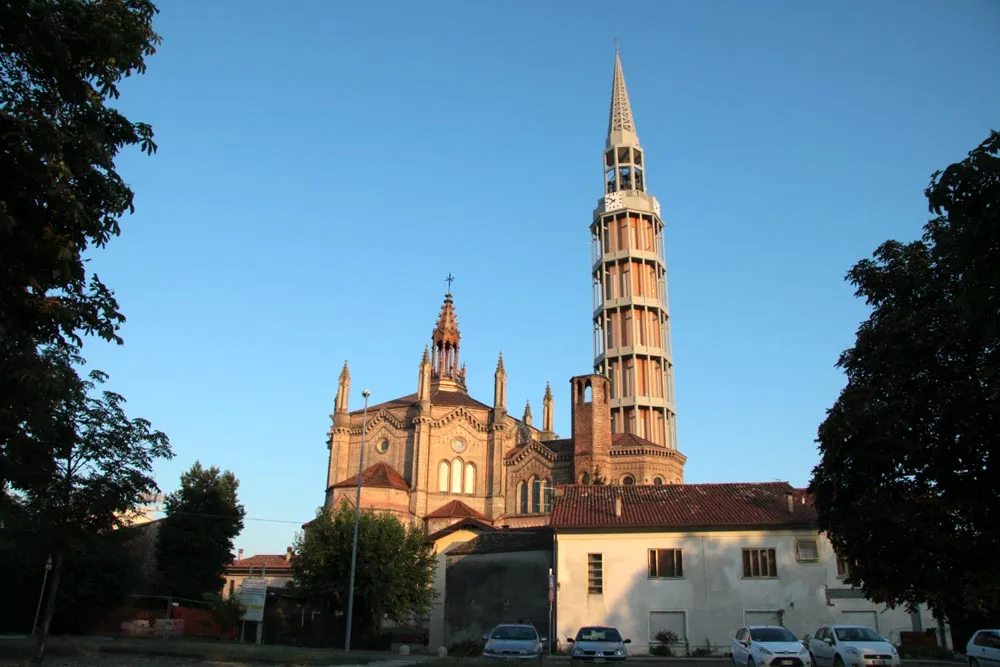
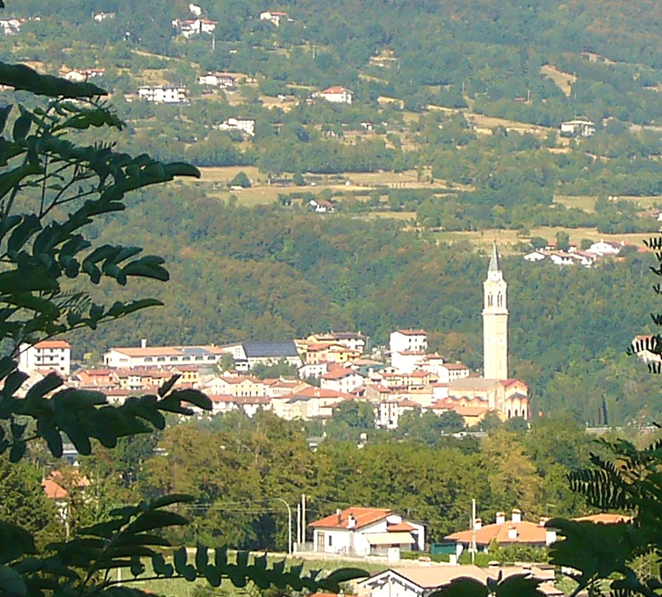
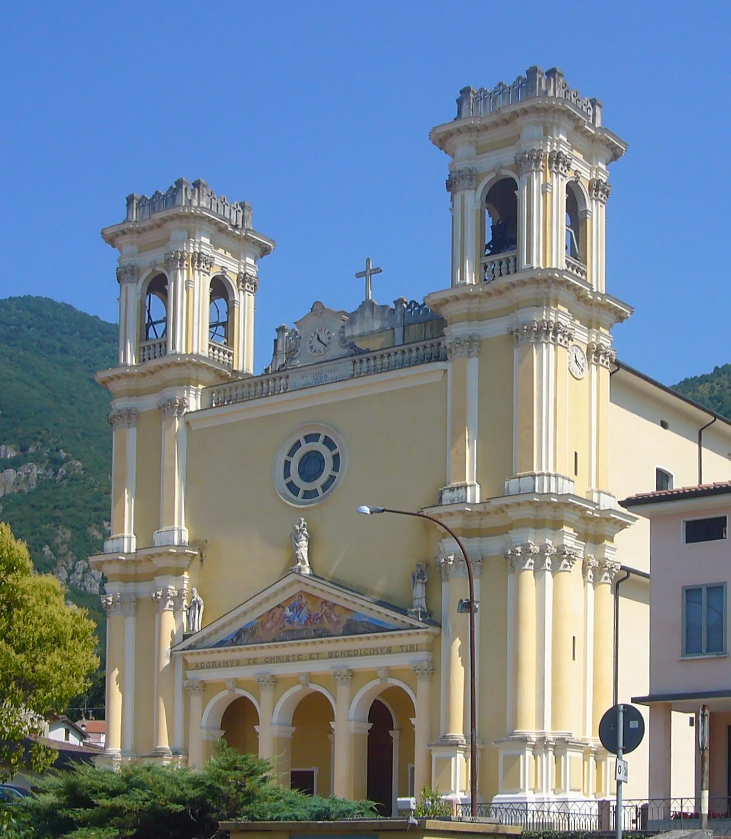
Piovene Rocchette, located in the Veneto region of Italy, provides a captivating cycling experience with its stunning landscapes and quiet roads. Surrounded by picturesque hills, this locality offers scenic routes that are ideal for road and gravel cyclists. While not recognized for well-known climbs or spots, Piovene Rocchette allows cyclists to explore the countryside at their own pace while enjoying the tranquility of the area. Immerse yourself in the beauty of Piovene Rocchette and savor the joy of cycling amidst nature.
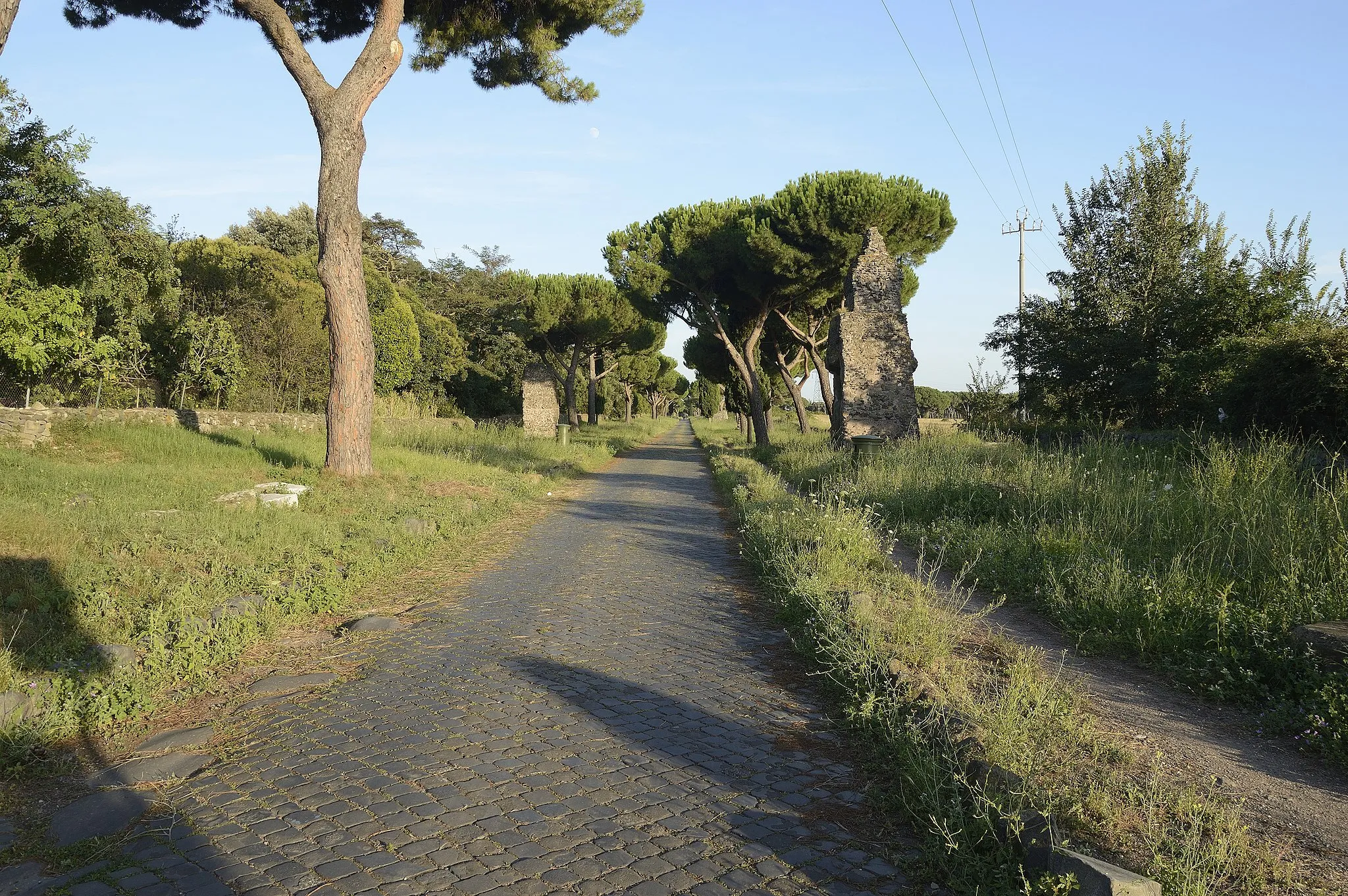
Gravel Delights
Explore the charming countryside of Veneto on gravel roads.
Embark on a scenic cycling adventure through the picturesque countryside of Veneto, Italy. This gravel route offers a unique and distinct experience, allowing you to explore the region's natural beauty and rural charm. With a moderate difficulty level, this route is perfect for well-trained amateur cyclists looking for an exciting challenge.
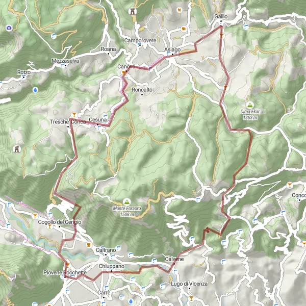
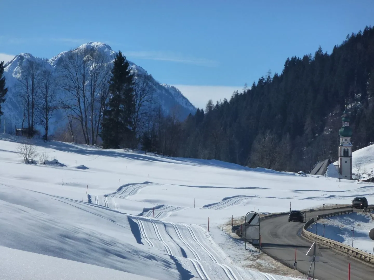
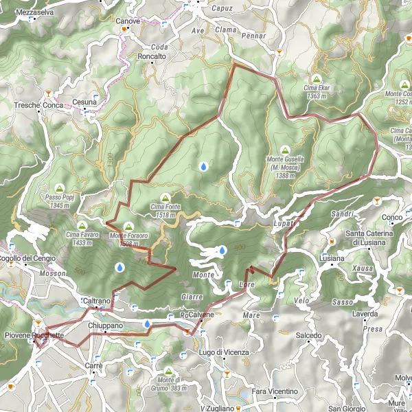
Embark on a thrilling gravel adventure to the summit of Monte Lemerle on this scenic route from Piovene Rocchette.
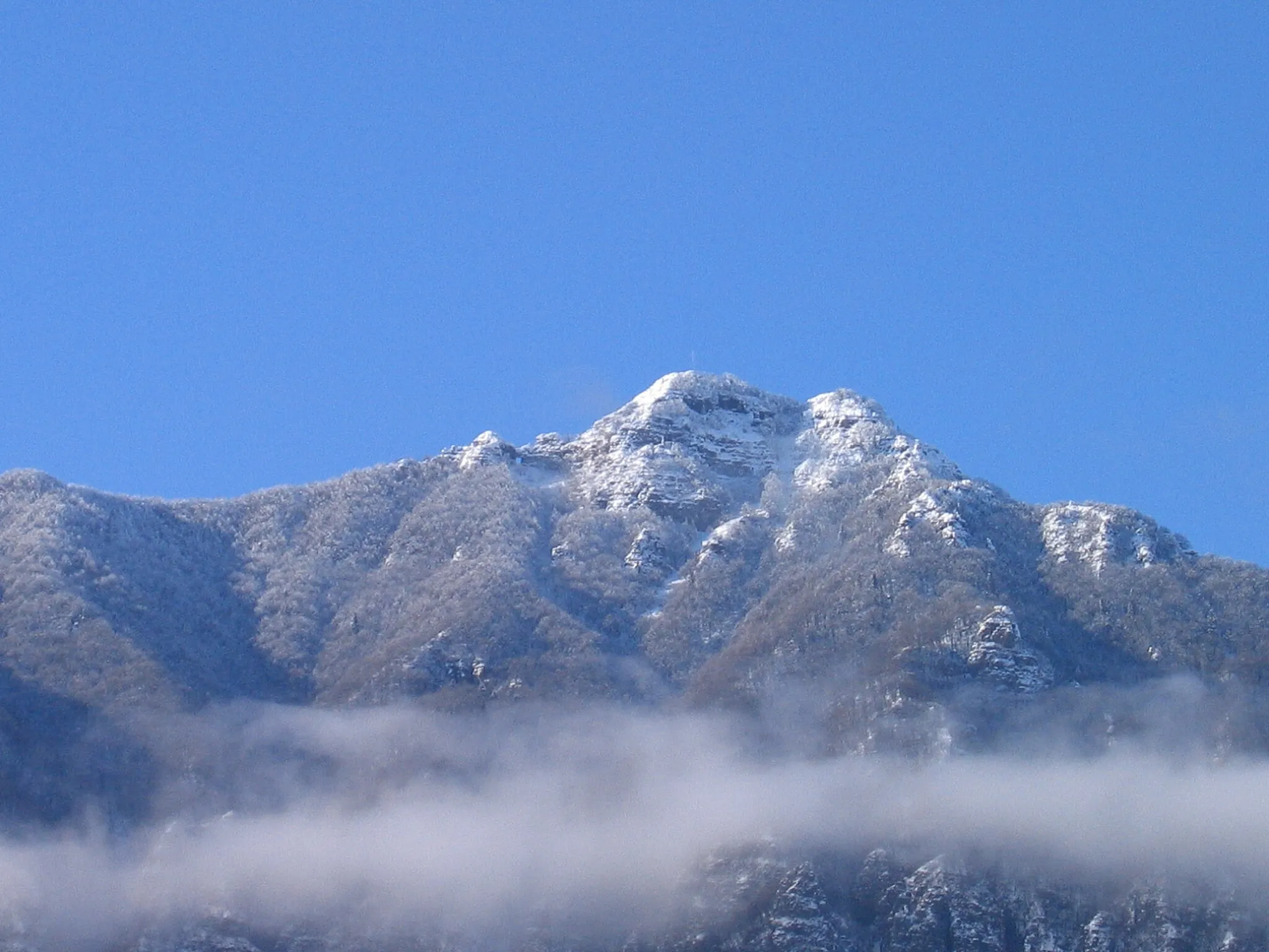
This gravel cycling route takes you through diverse terrains and idyllic landscapes as you make your way to Monte Lemerle. With a total ascent of 1,474 meters and covering a distance of 58 kilometers, this route is suitable for experienced gravel cyclists looking for a challenging off-road adventure. Highlights along the way include the charming village of Cogollo del Cengio and the stunning views from Monte Croce. Cesuna and Gallio offer picturesque rest stops with local delicacies to replenish your energy.
Experience the best of road cycling in Veneto
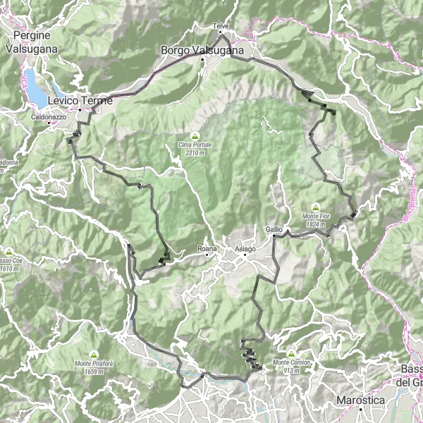
Immerse yourself in the beauty of Veneto on this road cycling tour, featuring a total ascent of 4790 meters and a distance of 167 kilometers. Highlights along the way include Cogollo del Cengio, Punta Campo, Rotzo, Passo Vezzena, Avèz del Prinzep, Novaledo, Rocchetta, Ospedaletto, Sasso Corvo, Calchèra di Boro, Foza, Gallio, Monte Corno, and Monte Marogna. The difficulty level of this tour is 5, suitable for experienced cyclists with a high fitness level. With an epicness score of 5, this route offers a challenging and rewarding cycling experience.
An epic road cycling route with challenging climbs and stunning scenery
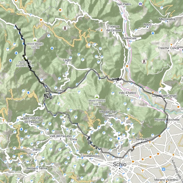
This road cycling route near Piovene Rocchette offers a challenging adventure for experienced cyclists. With a total ascent of 2817 meters and a distance of 80 kilometers, this route will put your endurance and climbing skills to the test. The route starts in Piovene Rocchette and takes you through picturesque countryside and small villages, offering breathtaking views along the way. The highlights of this route include the Santorso climb, a challenging ascent that rewards you with panoramic views from the top, as well as the Monte Enna and Passo Xomo climbs. These climbs will push your limits but the sense of accomplishment upon reaching the summits is well worth it. Prepare yourself for stunning landscapes, challenging terrain, and an unforgettable cycling experience.

Embark on an exciting gravel cycling adventure in Veneto
Get off the beaten path and explore the rugged terrains of Veneto on this gravel cycling adventure. With a total ascent of 2492 meters and a distance of 76 kilometers, this route will challenge even the most experienced cyclists. Highlights along the way include Eremo di Meda, Velo d'Astico, San Pietro, Punta Petone, Monte Verena, Forte Verena, Roana, Monte Lemerle, Monte Croce, and Cogollo del Cengio. The difficulty level of this tour is 4, suitable for seasoned cyclists looking for a thrilling ride. With an epicness score of 5, this route offers an unforgettable experience for gravel enthusiasts.
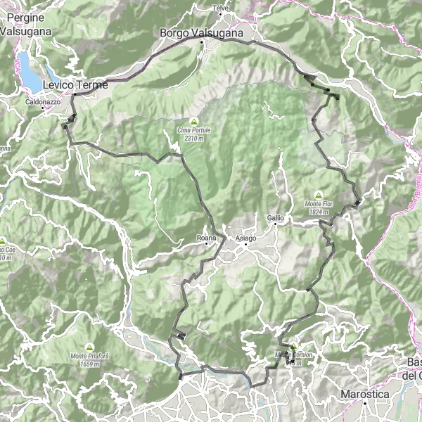
Discover the charm of Asiago and its surrounding mountains on this challenging road cycling route starting near Piovene Rocchette.
This road cycling route takes you through stunning landscapes and picturesque towns, offering a mix of challenging climbs and exhilarating descents. You'll ride through Cogollo del Cengio, Monte Croce, and Asiago, experiencing breathtaking views along the way. The route has a total ascent of 2,410 meters and covers a distance of 100 kilometers. It is suitable for well-trained amateur cyclists looking to test their abilities.
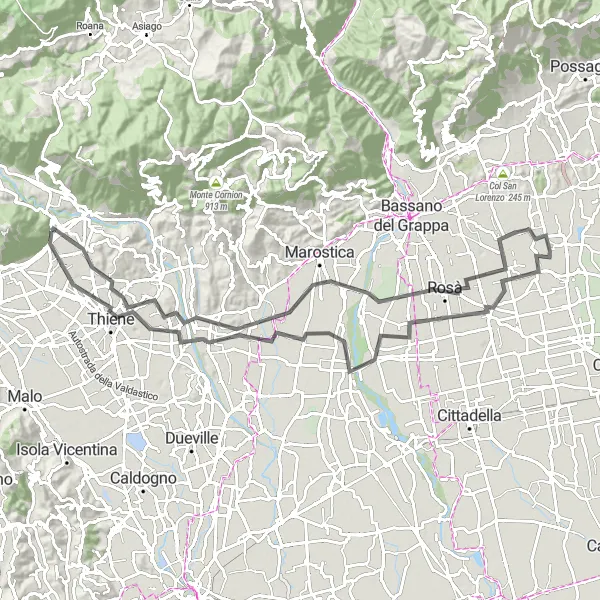
Cycle through the stunning landscapes of Veneto
Explore the beautiful region of Veneto on this road cycling tour. With a total ascent of 292 meters and a distance of 92 kilometers, this route will take you through charming towns and picturesque countryside. Discover highlights such as Piovene Rocchette, Schiavon, Tezze sul Brenta, Rossano Veneto, Breganze, Monte Zavagnin, and Carrè. The difficulty level of this tour is 3, suitable for well-trained amateurs. The route has an epicness score of 4, offering a memorable experience for cyclists.
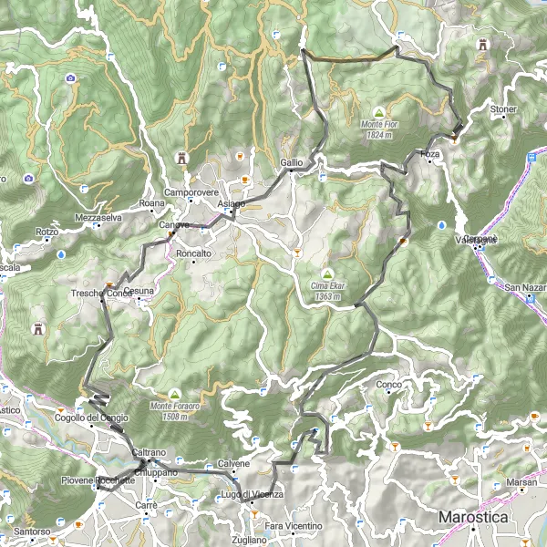
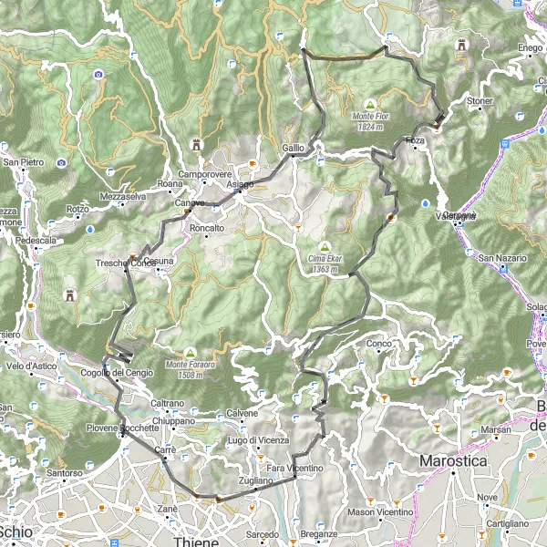
Embark on a scenic road cycling adventure to Foza, known for its beautiful landscapes, on this challenging route.
This road cycling route takes you through some of the most picturesque landscapes in the Veneto region as you make your way to Foza. With a total ascent of 2,509 meters and covering a distance of 101 kilometers, this route is well-suited for endurance cyclists looking for a challenging adventure. Highlights include the charming village of Cogollo del Cengio, the panoramic views from Monte Croce, and the breathtaking vistas from Foza. With its mix of challenging climbs and exhilarating descents, this route offers a memorable cycling experience for enthusiasts.
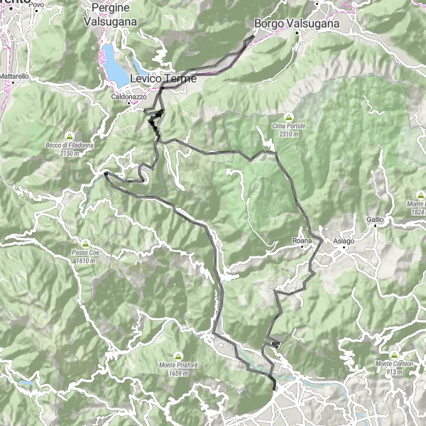
Take on the ultimate cycling challenge in Veneto
Embark on an epic cycling adventure through the diverse landscapes of Veneto. With a total ascent of 4358 meters and a distance of 159 kilometers, this route will push your limits and provide a true test of endurance. Highlights along the way include Cogollo del Cengio, Monte Croce, Canove, Monte Rasta, Forte Busa di Verle - Werk Verle, Passo Vezzena, Novaledo, Puisle, Ospedaletto, Sasso Corvo, Calchèra di Boro, Foza, Passo Stretto, Lusiana, Lugo di Vicenza, and Monte Grumo Alto. The difficulty level of this tour is 5, best suited for highly trained cyclists looking for a challenge. With an epicness score of 5, this route offers an extraordinary cycling experience.
Ultimate Road Challenge
Conquer the toughest climbs and experience the thrill of legendary routes.
Embark on the ultimate road challenge through the challenging terrain of Veneto, Italy. This route offers the most epic cycling experience, with steep climbs and breathtaking views. Designed for experienced cyclists, this route will push your limits and leave you with a sense of accomplishment. Prepare to tackle legendary climbs and explore iconic cycling spots in the region.
Cycling routes nearby:


Nearby regions: