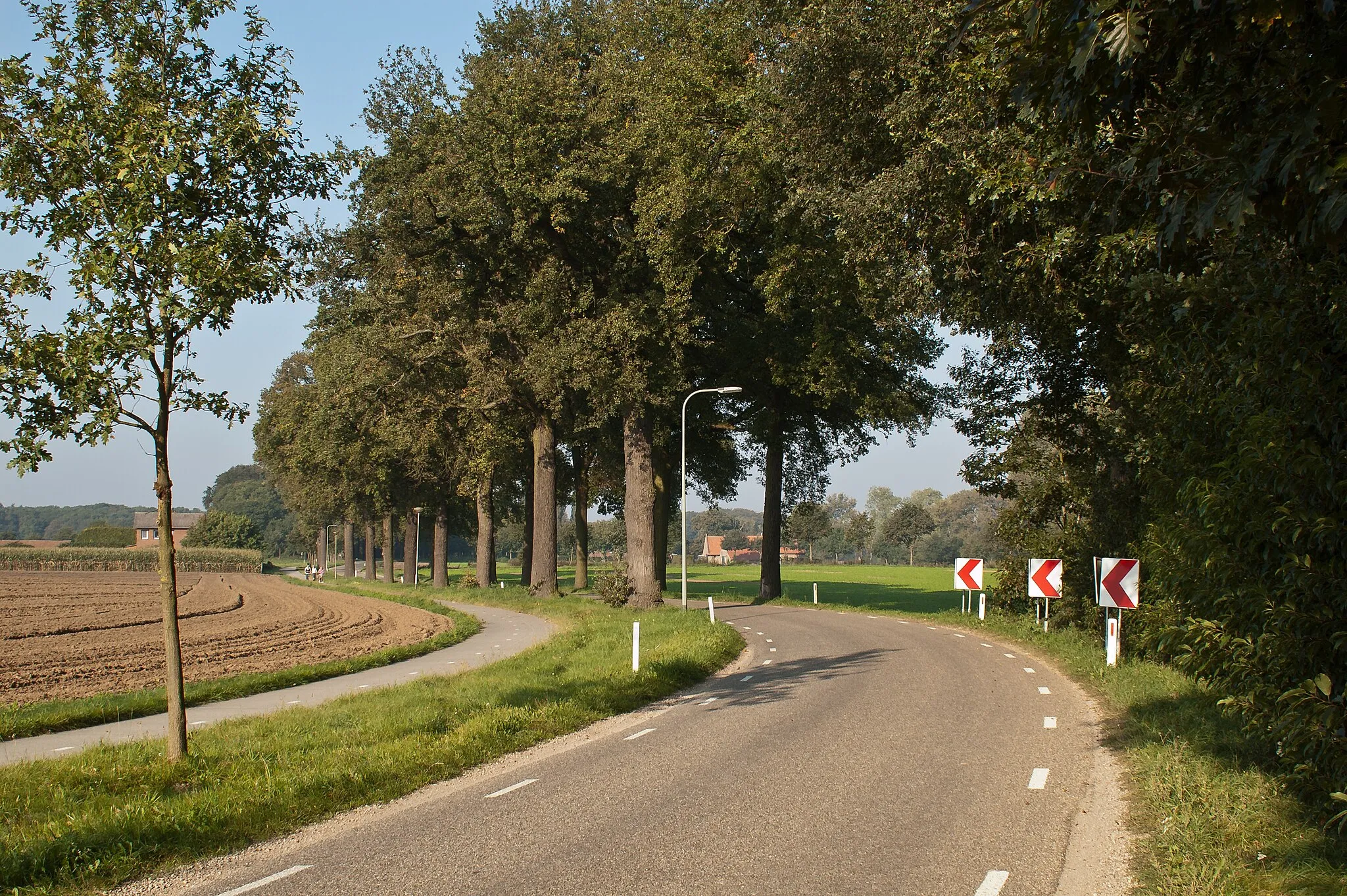
Cycling Haven combining Varied Terrains and Tranquil Scenery
Cycling routes from Sint Odilienberg
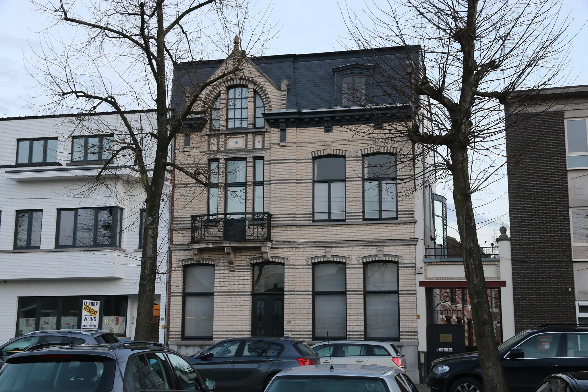
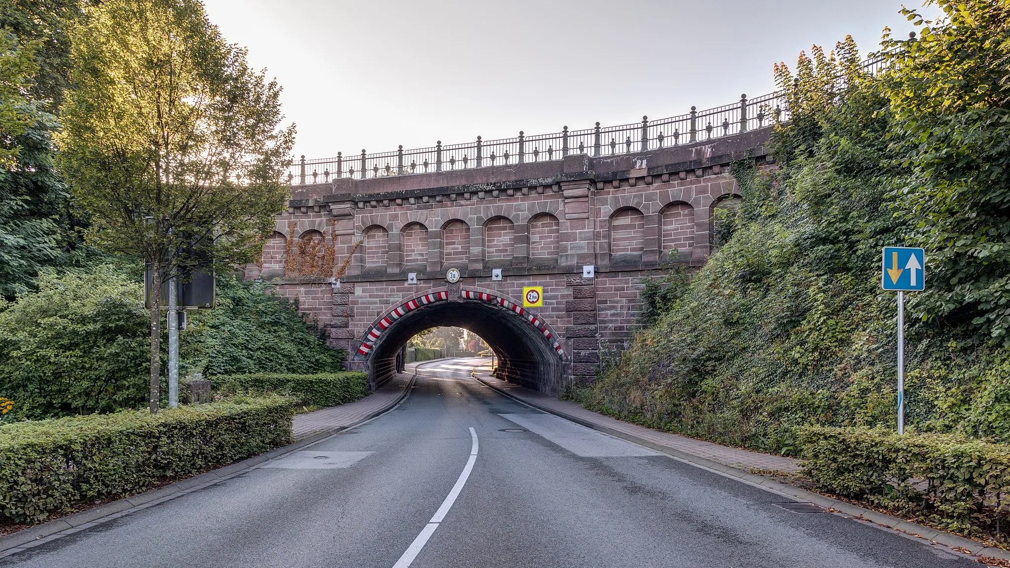
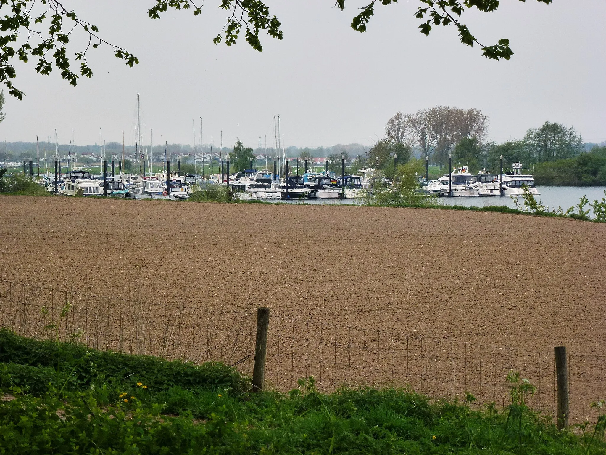
Sint Odiliënberg, located in Limburg in the Netherlands, is a hidden gem for road and gravel cyclists. The locality offers a mix of challenging terrains, including flat stretches for speedsters and hilly sections for those seeking a climbing challenge. Cyclists can pedal through Sint Odiliënberg's quaint villages, picturesque countryside, and scenic routes along the riverside. For the more adventurous, the nearby Vaalserberg presents a legendary climb that is not to be missed.
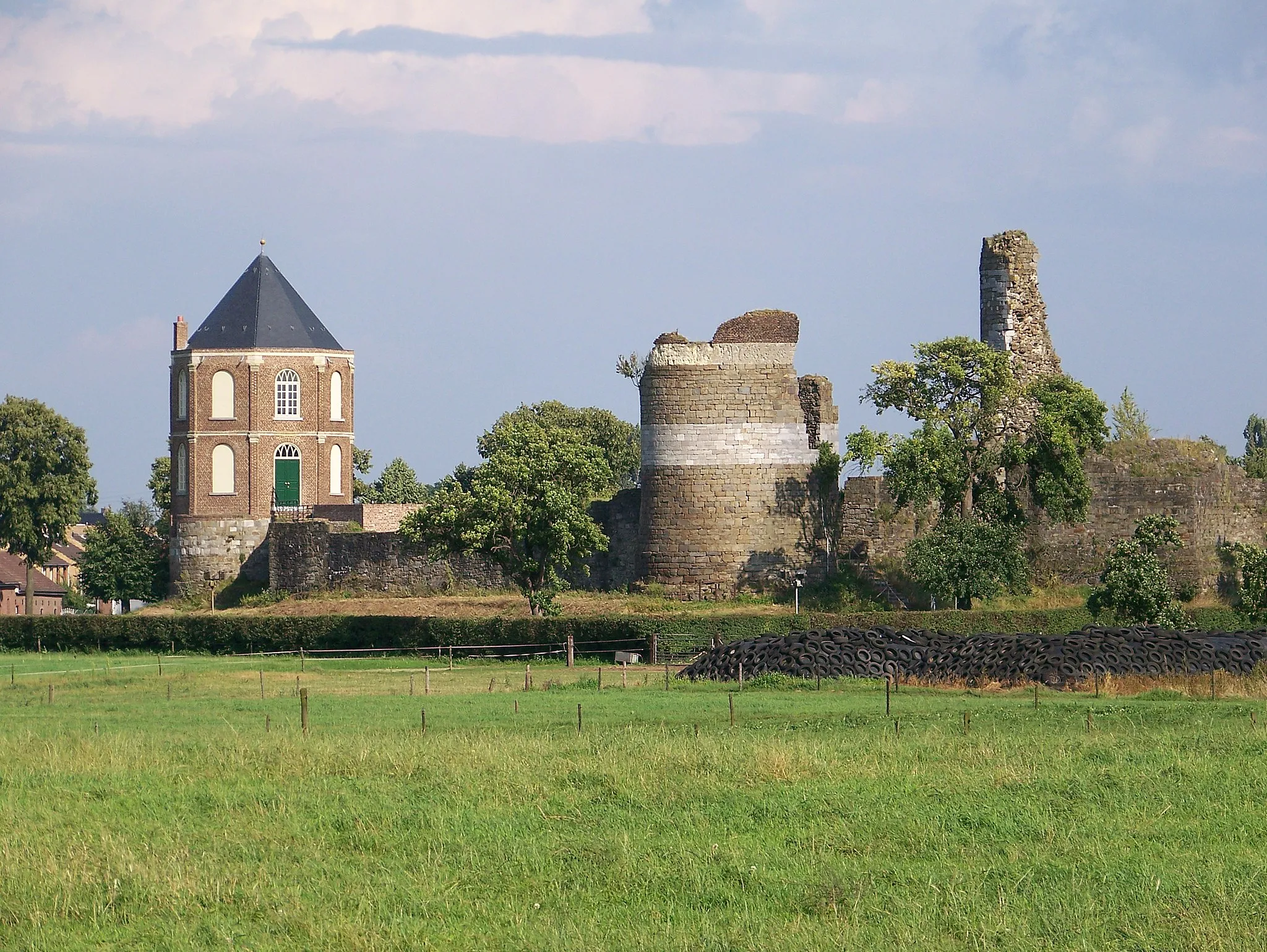
Discovering the historical sites of Roosteren on a road bike
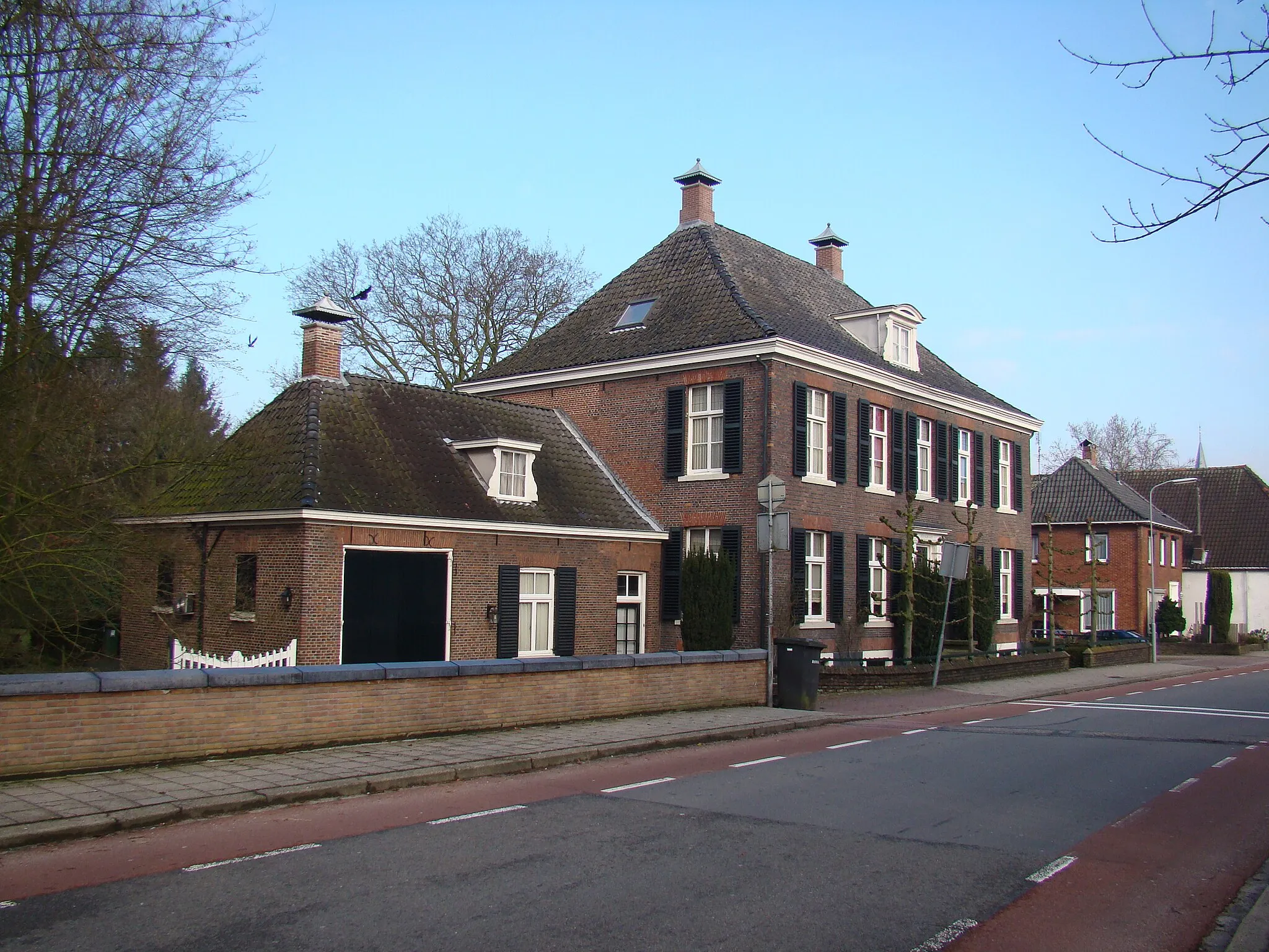
This road biking route covers a distance of 62 km with an elevation gain of 73 meters. The route takes you through scenic landscapes and historic sites, with Roosteren as the main highlight. With a difficulty rating of 2, this route is suitable for moderately trained riders. Offering an epicness rating of 2, this route provides a pleasant and enjoyable cycling experience. Highlights include the charming town of Montfort, with its lovely architecture and historical buildings. Other highlights include Roermond, known for its beautiful landscape and cycling-friendly infrastructure.
Embark on a cycling journey through charming villages and discover historic sites near Sint Odiliënberg!
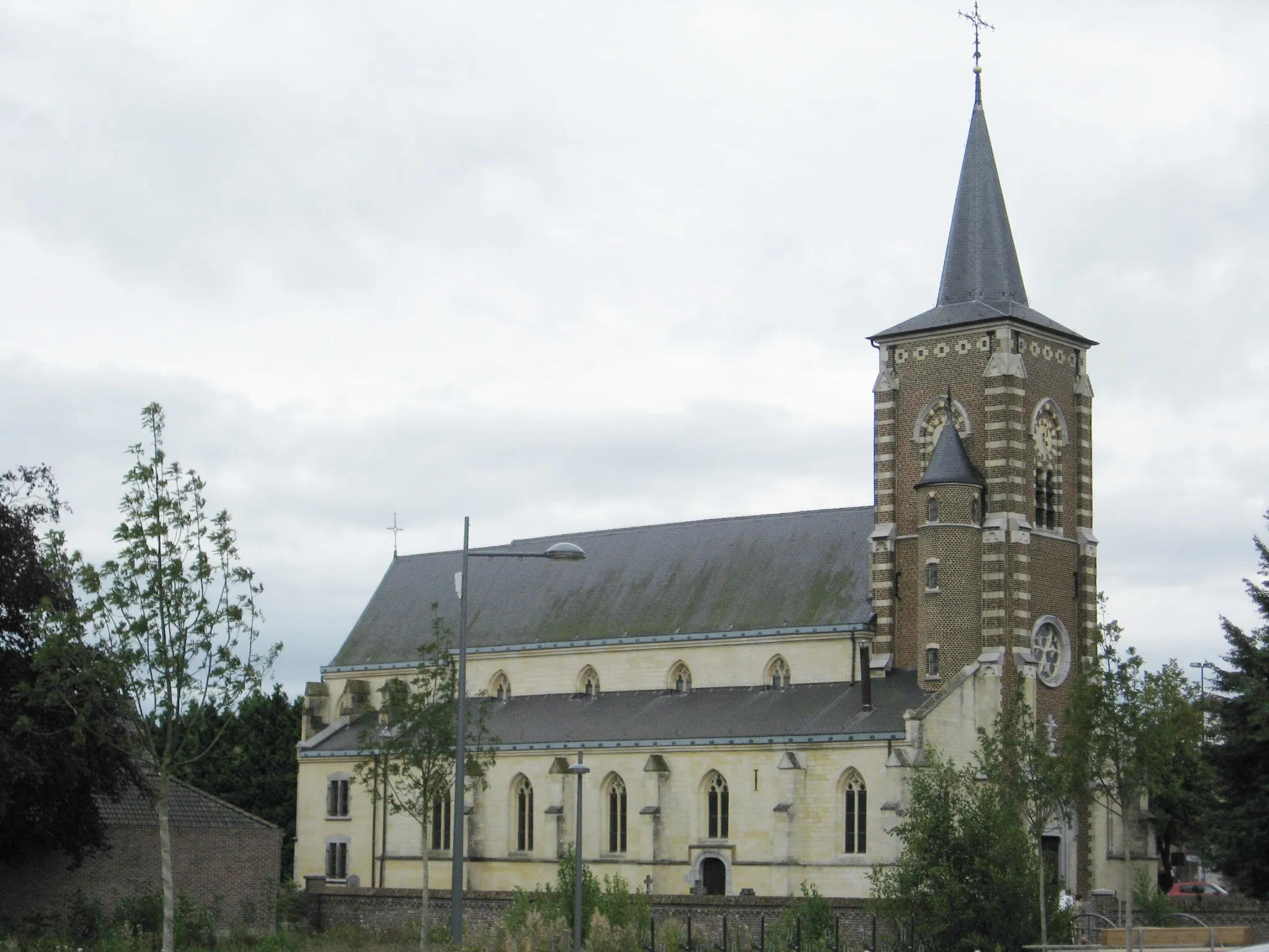
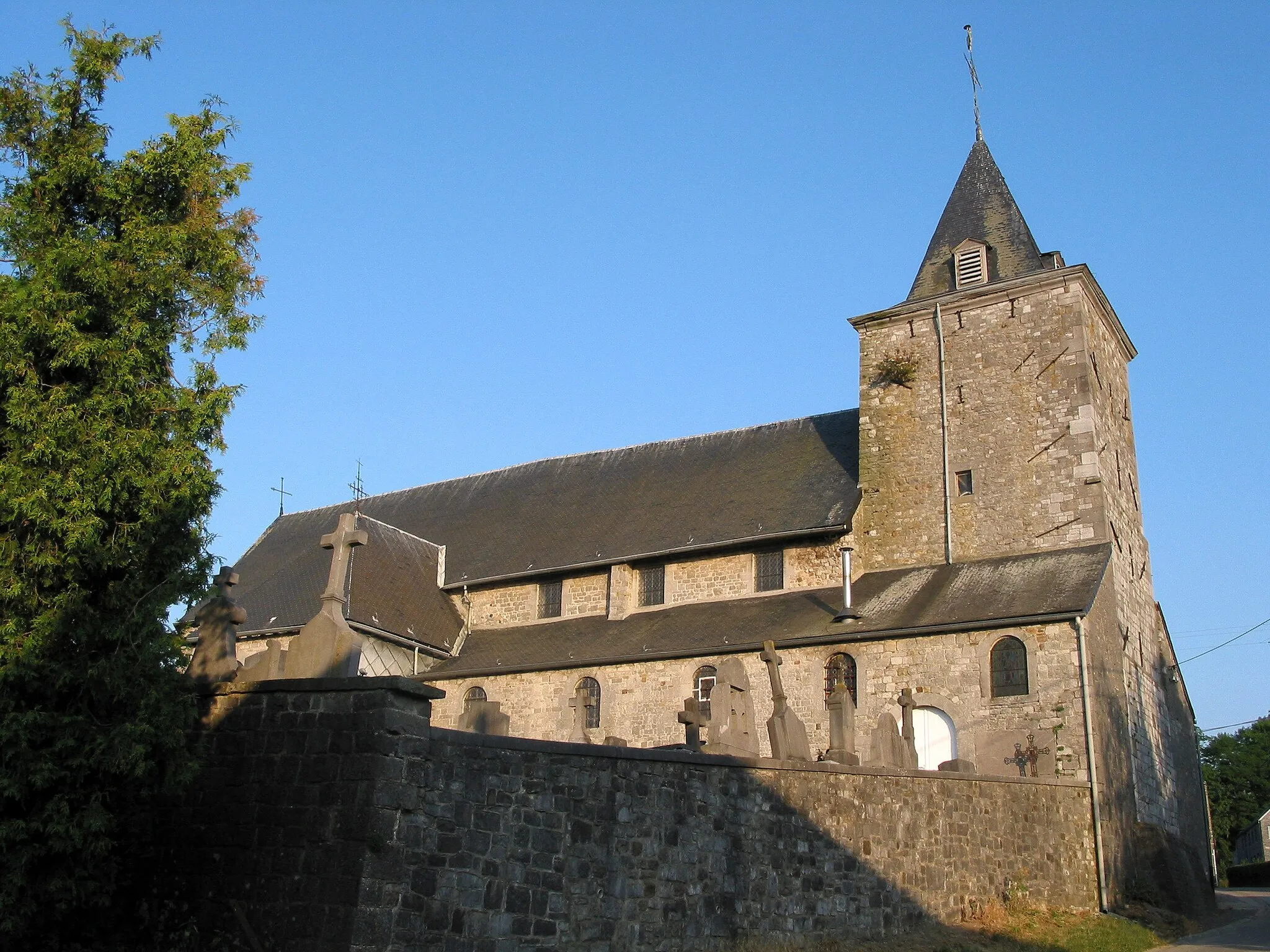
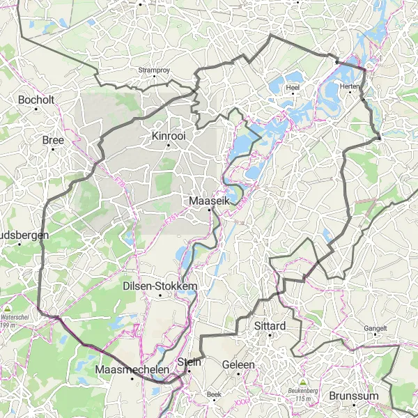
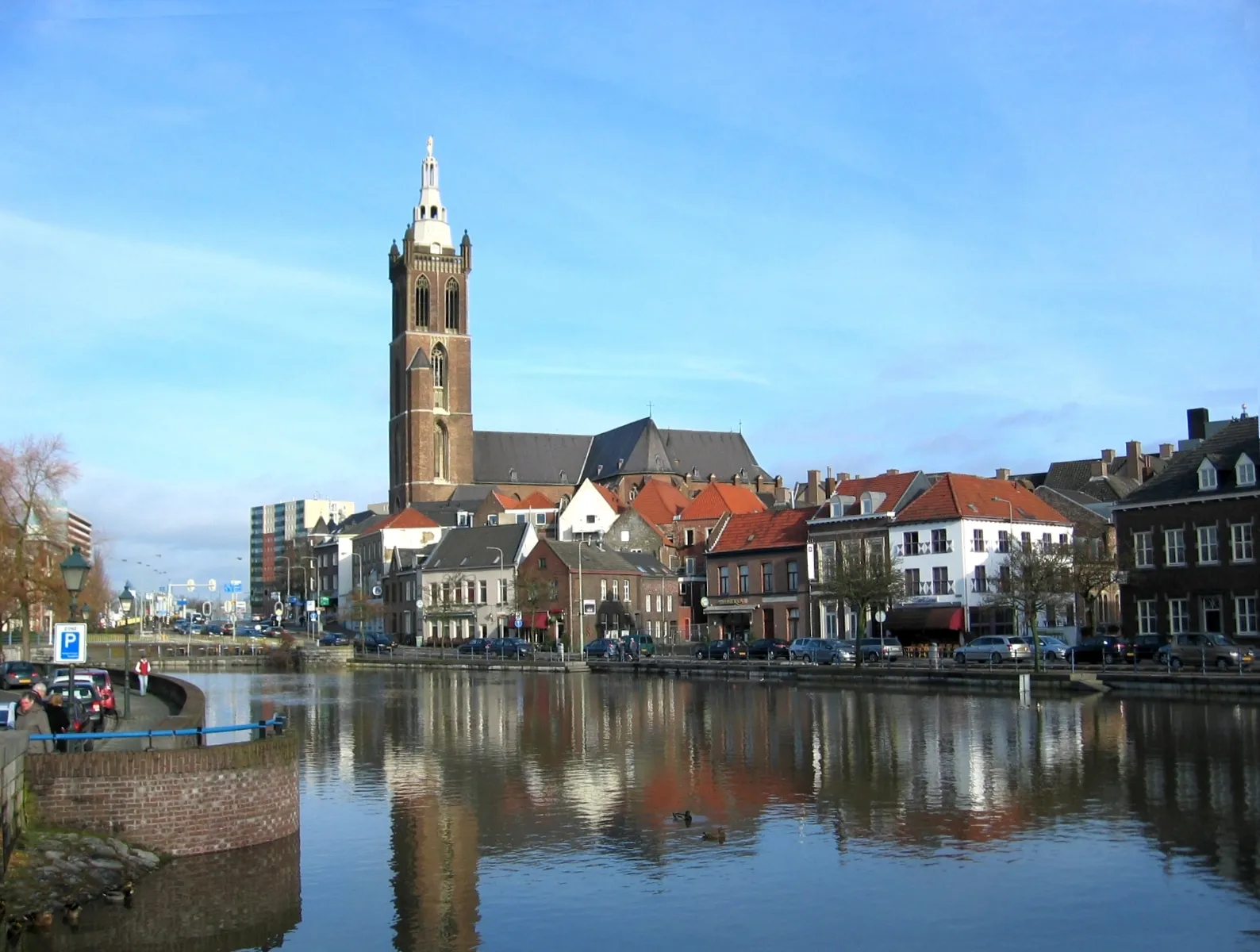
Step back in time on this road cycling route that takes you through charming villages and historic sites near Sint Odiliënberg. Covering a distance of 106 kilometers with 245 meters of ascent, this challenging route offers a glimpse into the past as you visit highlights including Havert (16 km), Einighausen (25 km), Maasmechelen (40 km), Uitkijktoren As (48 km), Opitter (65 km), Groot-Beersel (77 km), Horn (95 km), and Lerop (102 km). Marvel at the architectural wonders, enjoy panoramic vistas, and immerse yourself in the rich history of the region.
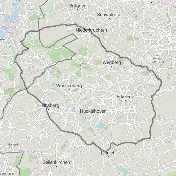
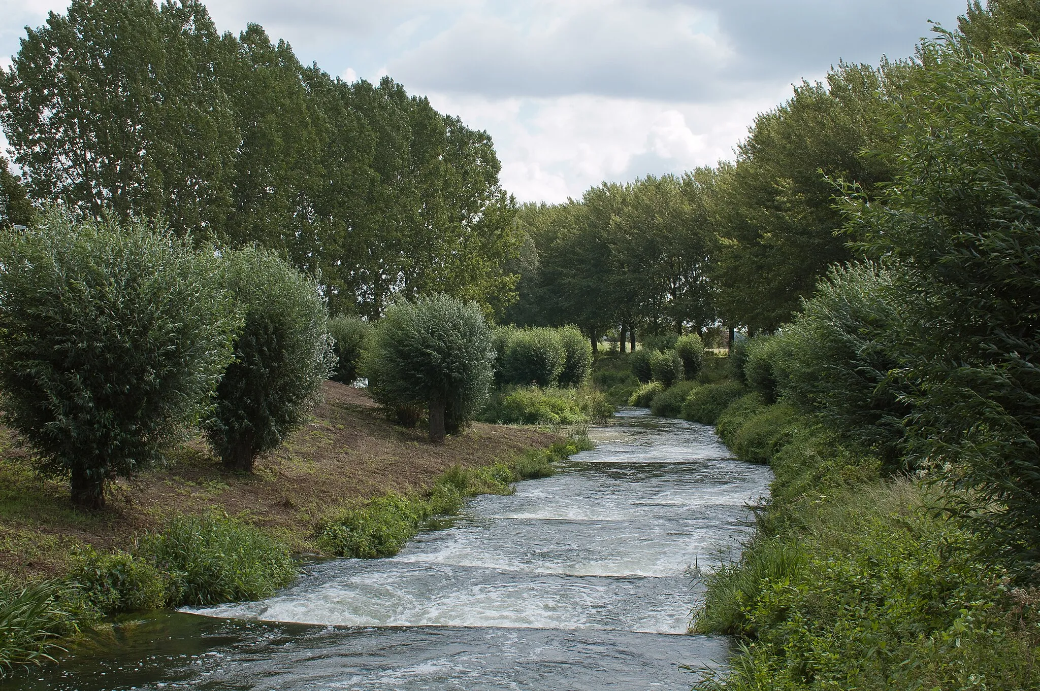
Embark on a scenic road cycling adventure through the natural beauty around Sint Odiliënberg!
Discover the natural beauty surrounding Sint Odiliënberg on this scenic road cycling route. Covering a distance of 98 kilometers with 294 meters of ascent, this challenging route offers breathtaking views and opportunities to explore highlights such as Spik (9 km), Uitkijktoren (9 km), Wasser.Blick 19 - Molzmühle (30 km), Gatzweiler (33 km), Wanlo (45 km), Gevelsdorf (57 km), Uetterath (79 km), and Haaren (90 km). Experience the tranquility of forests, river valleys, and rolling hills as you pedal along this unforgettable journey.

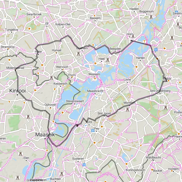
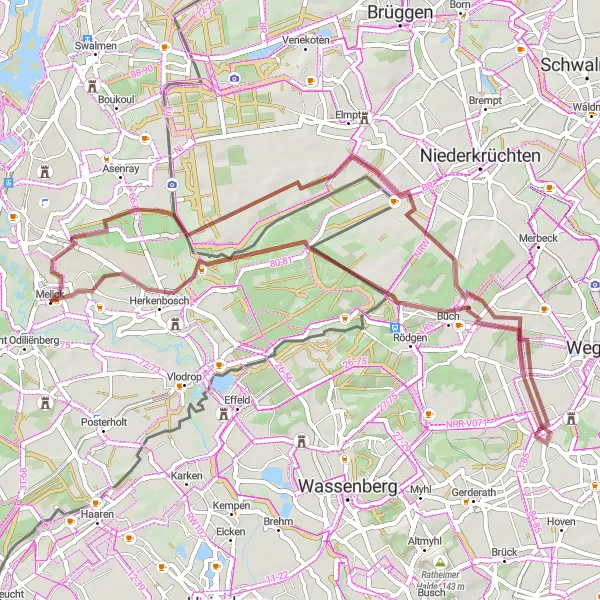
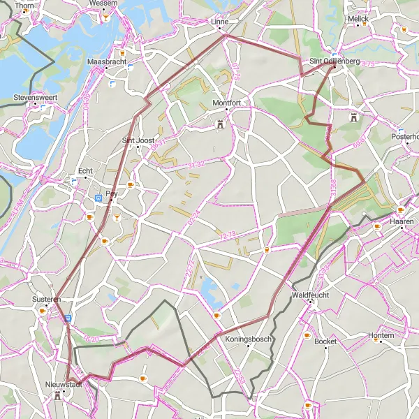
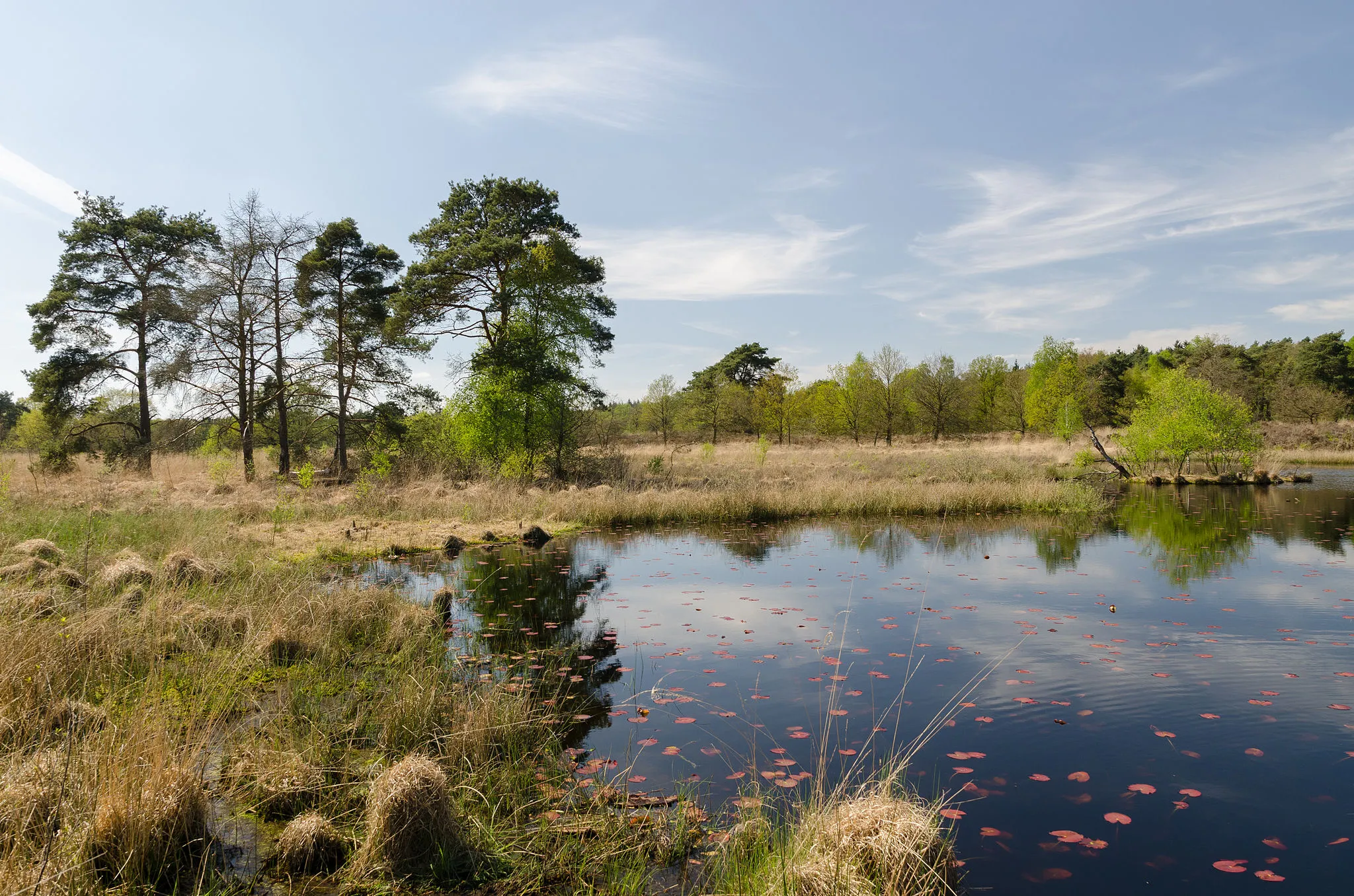
Discover the hidden gems of Sint Odiliënberg on this thrilling gravel route!
Embark on a gravel adventure through the picturesque countryside near Sint Odiliënberg. This route offers a moderate challenge with 81 meters of ascent over a distance of 42 kilometers. The landscape is dotted with medieval hamlets and offers stunning views of the surrounding hills. Don't miss the chance to explore highlights such as Pey (12 km), Nieuwstadt (23 km), and Montfort (37 km), each offering its own unique charm.
Dalheim Gravel Loop
Exploring the charming village of Dalheim on a gravel bike
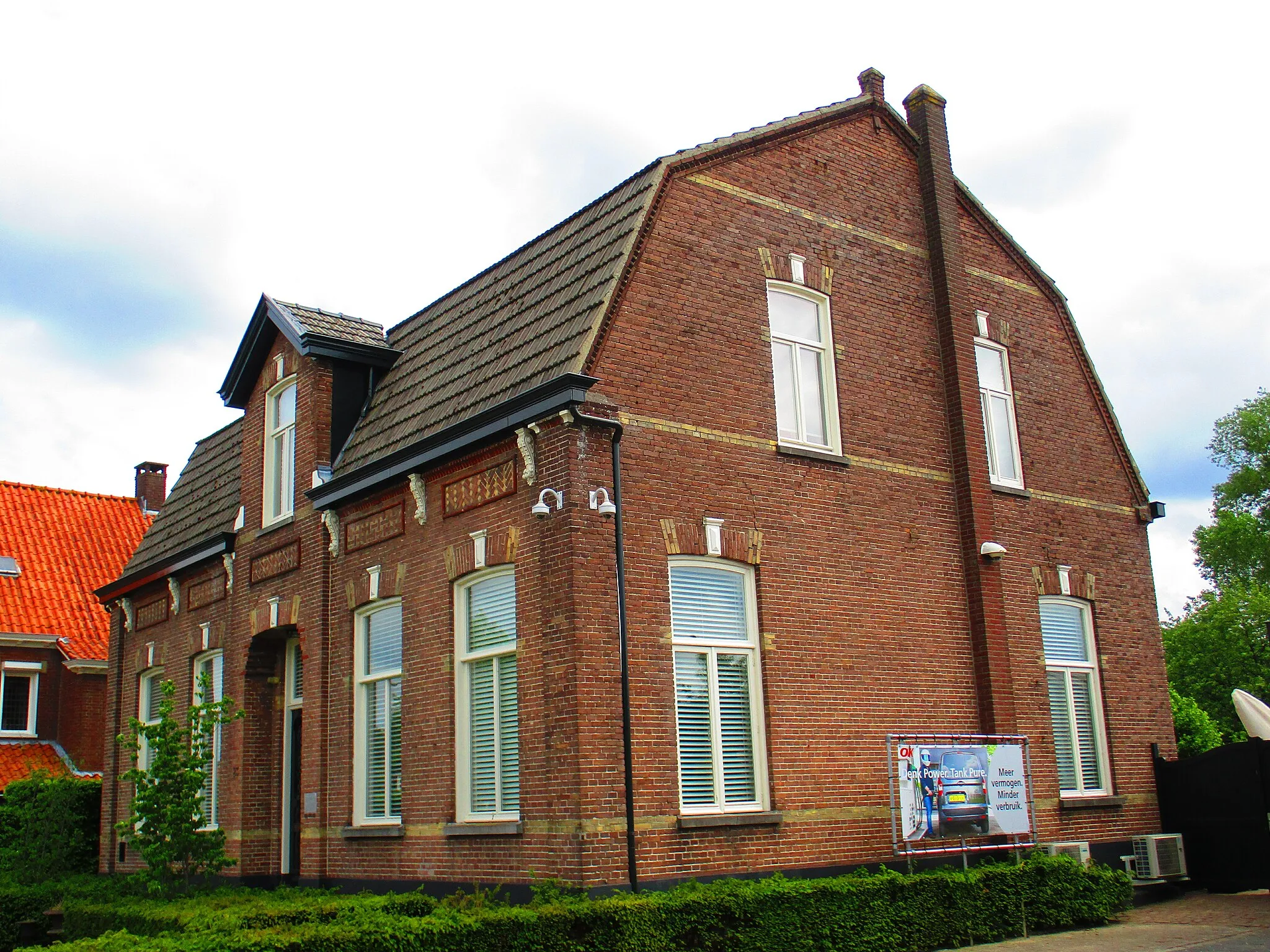
This gravel biking route covers a distance of 51 km with an elevation gain of 154 meters. The route takes you through picturesque landscapes and charming villages, with Dalheim as the main highlight. With a difficulty rating of 3, this route is suitable for experienced gravel riders. Offering an epicness rating of 3, this route promises a memorable cycling adventure. Highlights include exploring the historic village of Dalheim, with its traditional architecture and cultural sites. Other highlights include Tüschenbroich, known for its beautiful gardens and Meinfeld, offering tranquil natural surroundings.
Uncover hidden Wasser.Blicks and explore historical châteaus on this gravel cycling route!
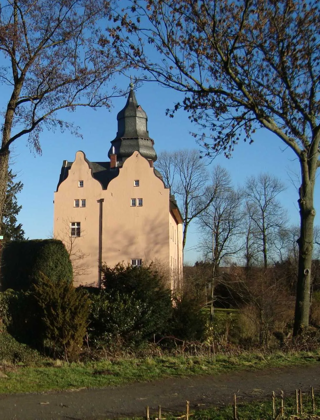
Embark on an epic adventure through the countryside near Sint Odiliënberg. This challenging gravel route covers 81 kilometers with 186 meters of ascent. Along the way, you'll encounter the enchanting Wasser.Blick water features and historical châteaus. Visit highlights including Melick (2 km), Burg Wegberg (23 km), Wasser.Blick 21 - Wassererlebnis Schwalm (23 km), Berverath (36 km), Baal (51 km), Millicher Halde (58 km), Wasser.Blick 24 Rur (68 km), and Kasteel Aerwinkel (79 km). Each stop offers its own unique experience, from scenic water views to grand medieval architecture.
Vlodrop Gravel Loop
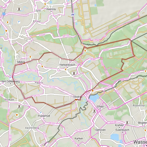
Cycling through the scenic village of Vlodrop in Limburg
This gravel biking route takes you through the picturesque village of Vlodrop, offering stunning views of the surrounding countryside. The route covers a distance of 26 km and includes an elevation gain of 81 meters. The difficulty level is rated at 2, suitable for well-trained amateurs. With an epicness rating of 3, this route is a great option for a fun and adventurous ride. The highlights on this route include the historic town of Herkenbosch, the Uitzichttoren viewpoint with panoramic views, and the charming village of Melick.
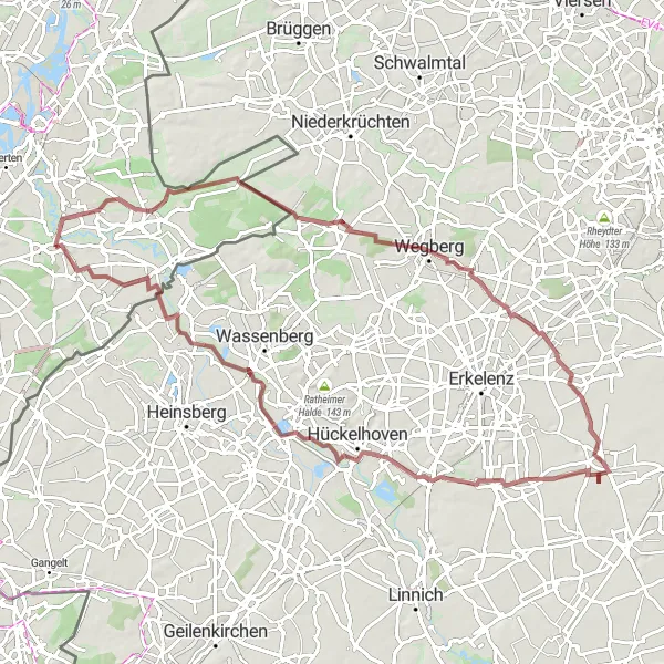
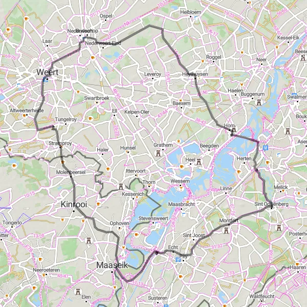
Eastern Limburg Loop
Cycle through the beautiful countryside of Eastern Limburg
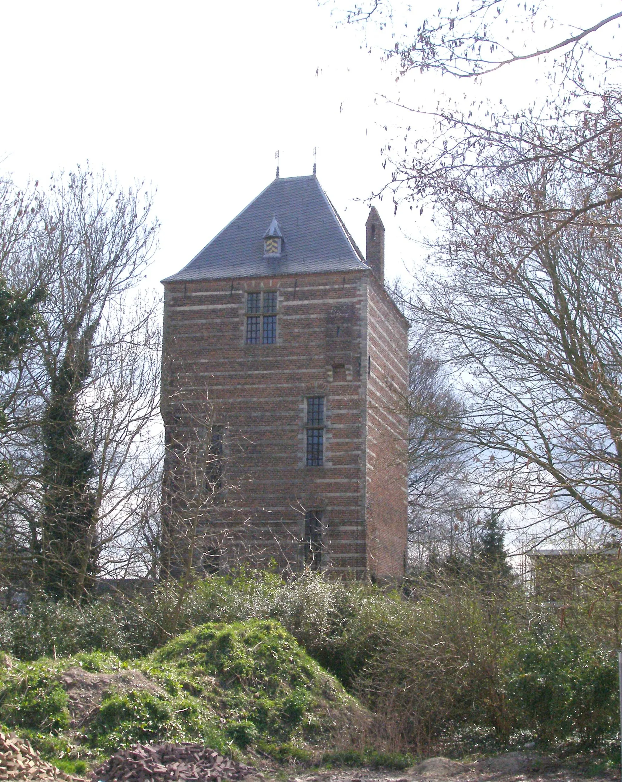
This scenic round-trip cycling route takes you through the picturesque landscapes of Eastern Limburg. Experience the rolling hills, charming villages, and historic sites as you pedal along. With a distance of 116 kilometers and an ascent of 648 meters, this route is suitable for well-trained amateur cyclists. The route is filled with highlights, including the Ritterturm, a medieval tower with panoramic views, and the Bergehalde Carolus Magnus, a reclaimed mining heap that offers stunning vistas. Don't miss the Gulperberg, a challenging climb that rewards you with sweeping views of the surrounding vineyards. Overall, this route offers a mix of natural beauty, cultural heritage, and challenging terrain.
Experience the beauty of nature on this scenic gravel cycle route near Sint Odiliënberg!
Escape into the natural beauty of Sint Odiliënberg with this scenic gravel route. Covering a distance of 42 kilometers with 95 meters of ascent, this route offers a moderate challenge suitable for cyclists looking to explore the great outdoors. Highlights along the route include Echterbosch (11 km), Isenbruch (20 km), Pey (29 km), and Linne (37 km). Immerse yourself in the peaceful surroundings as you pedal through lush forests, open fields, and quaint villages.
Echt Road Loop
Exploring the historical heritage of Echt on a road bike
Designed for experienced cyclists, this road biking route spans 79 km with an elevation gain of 107 meters. With a difficulty rating of 3, this route offers a moderate challenge for well-trained amateurs. The highlights on this route include the charming town of Echt with its historical attractions and architectural treasures. Other highlights include Molenbeersel, known for its picturesque landscapes, and Lerop, a quiet village with stunning natural surroundings. With an epicness rating of 3, this route provides an enjoyable and scenic cycling adventure.
Cycling routes nearby:

Nearby regions: