Cycling Paradise amidst Norwegian Mountains
Cycling routes from Geilo
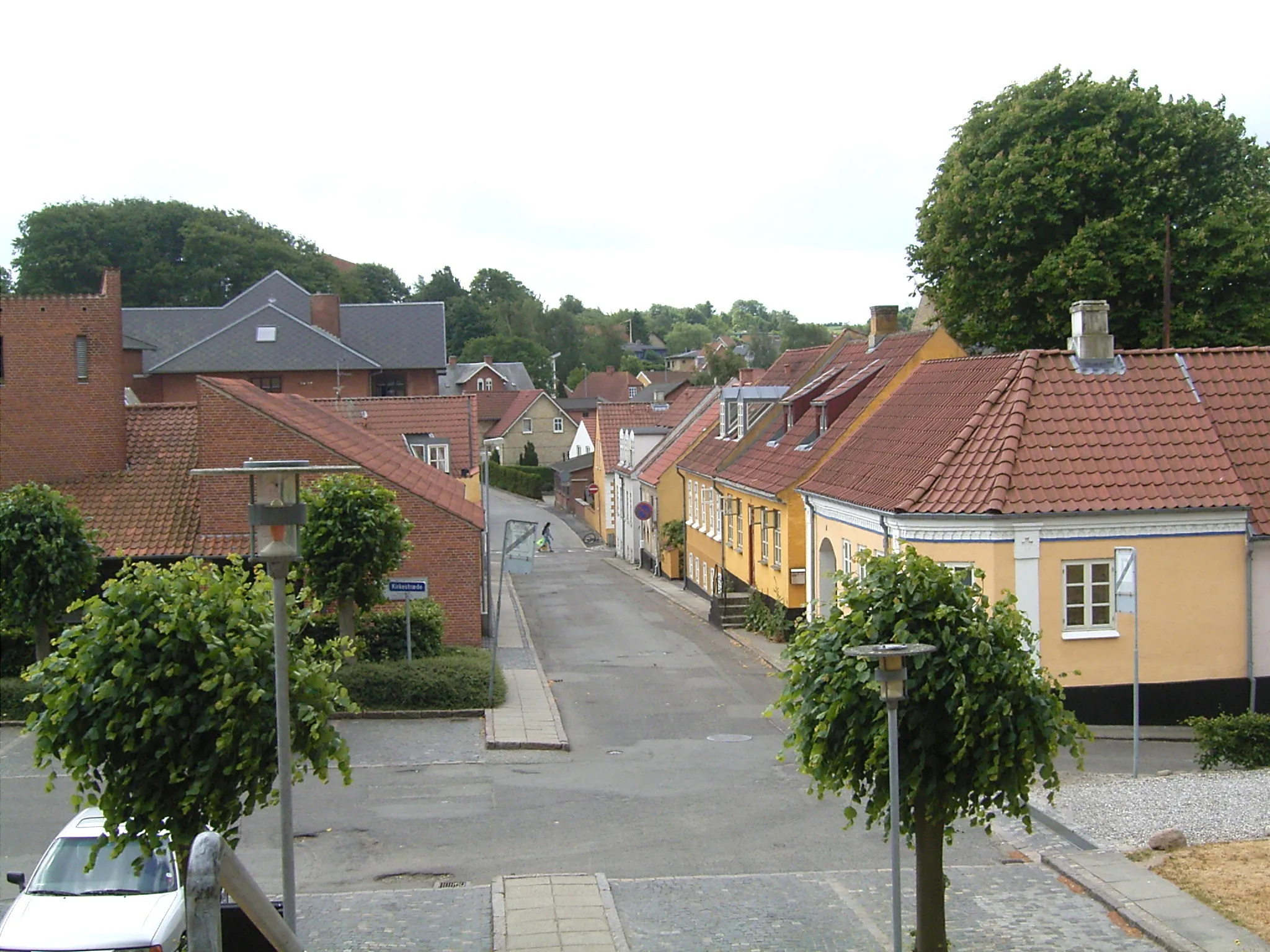
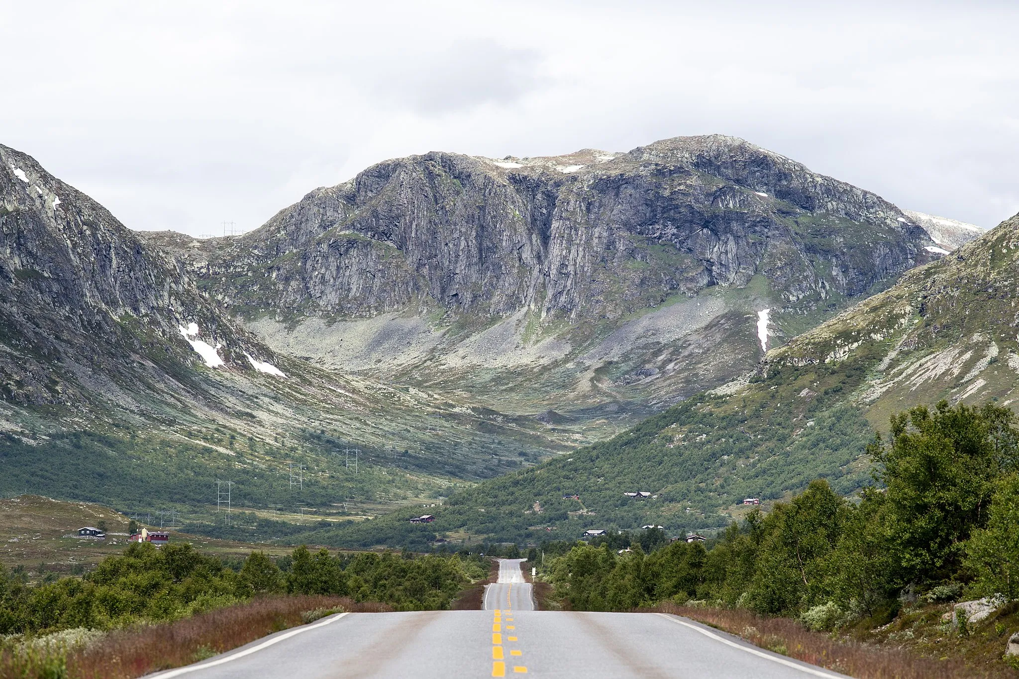
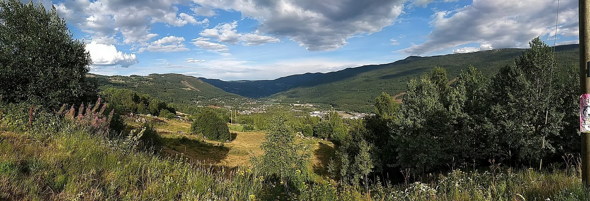
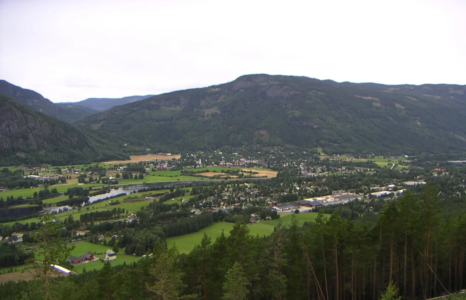
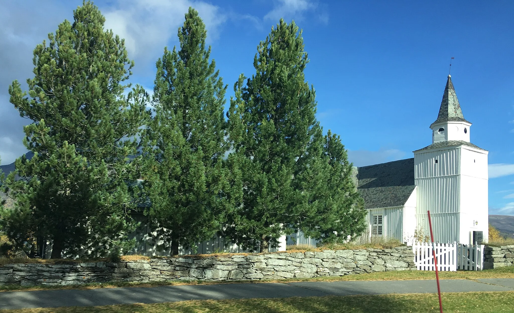
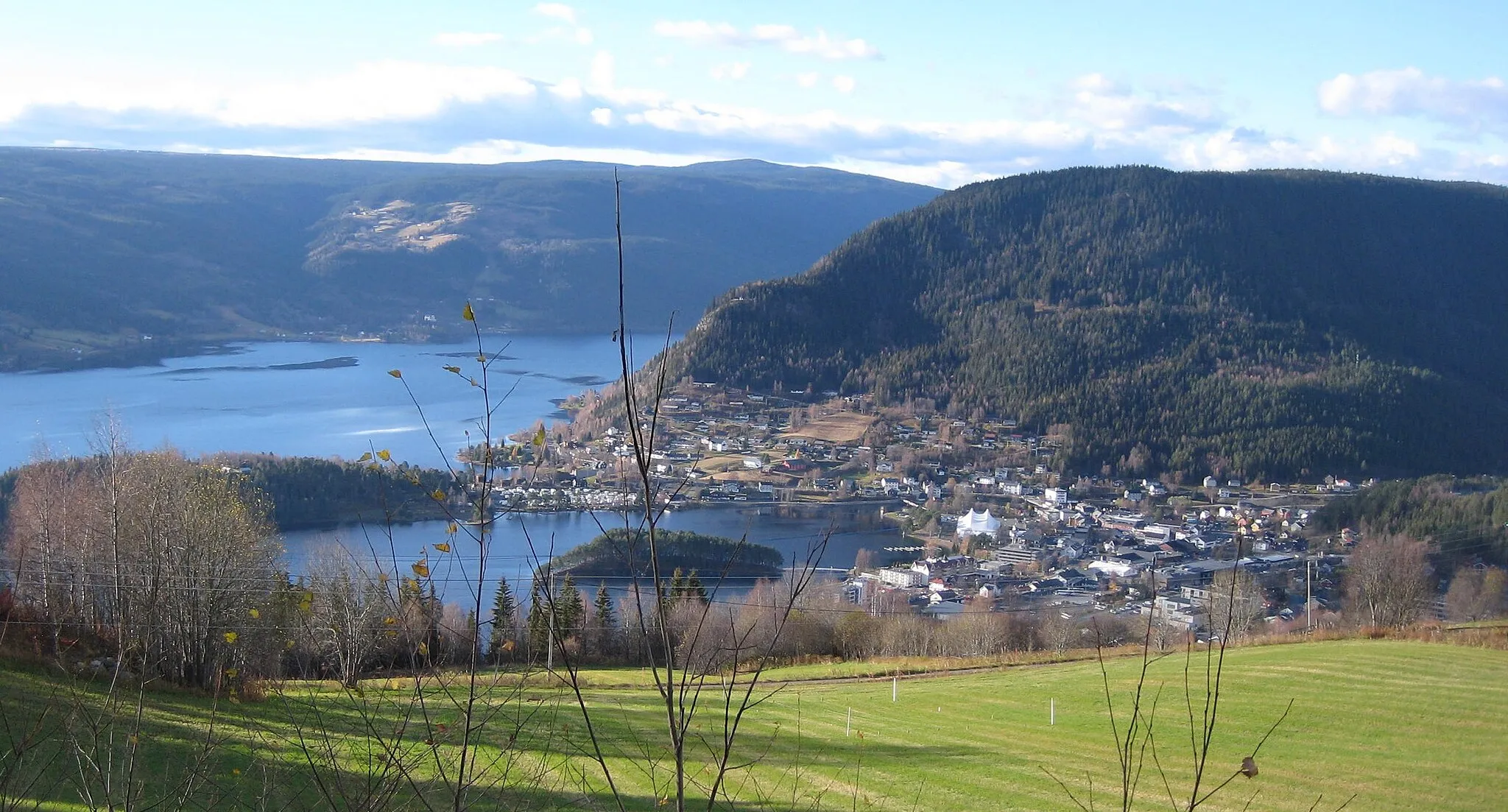
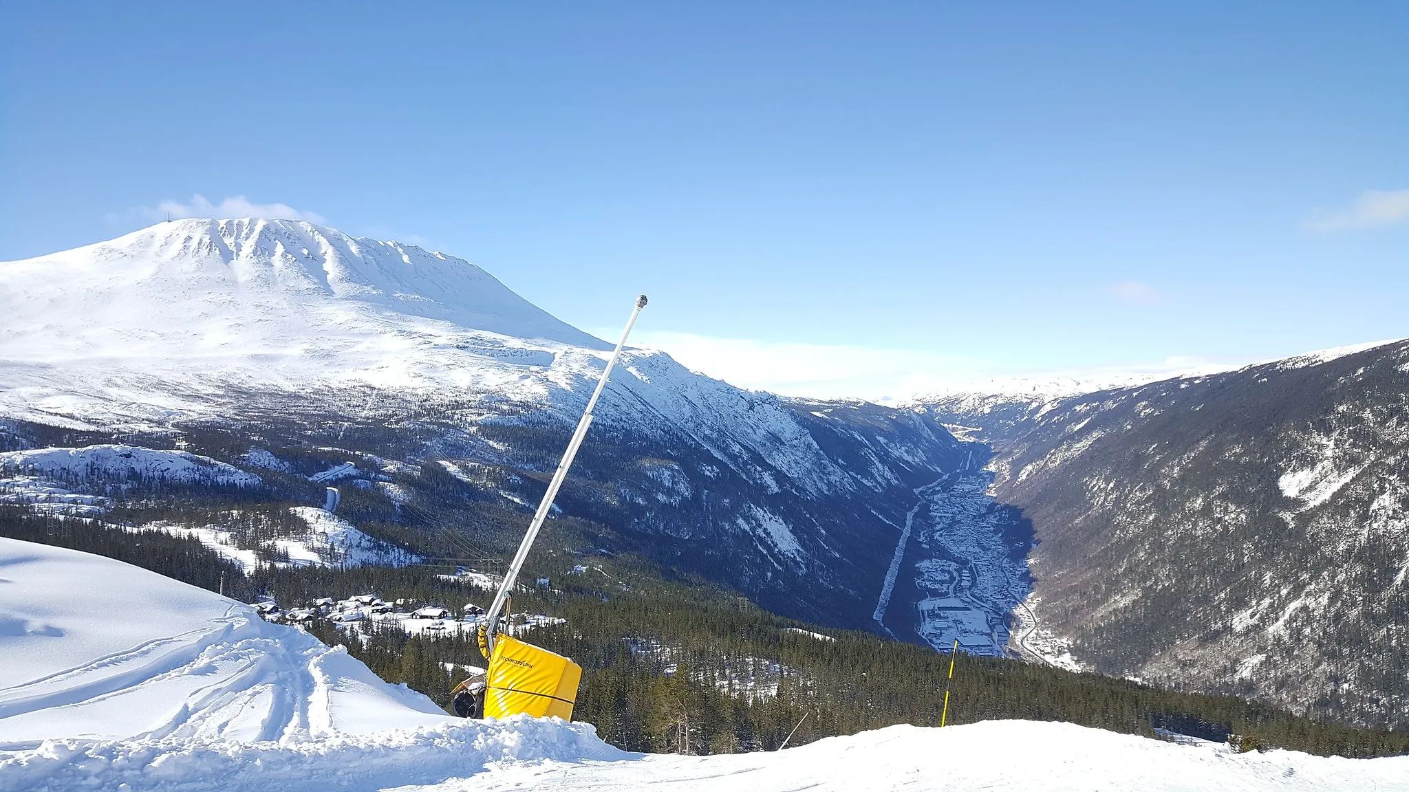
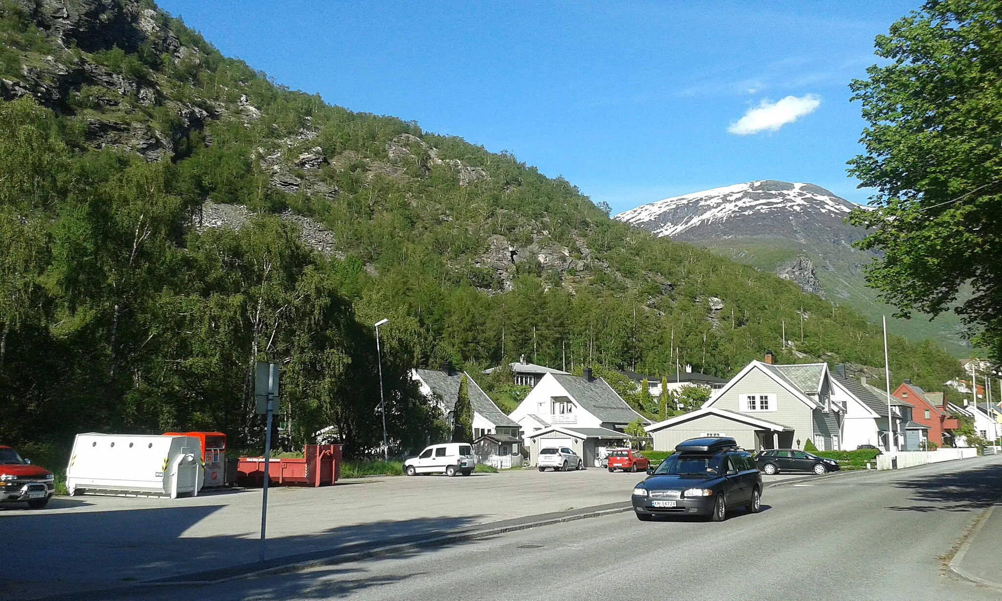
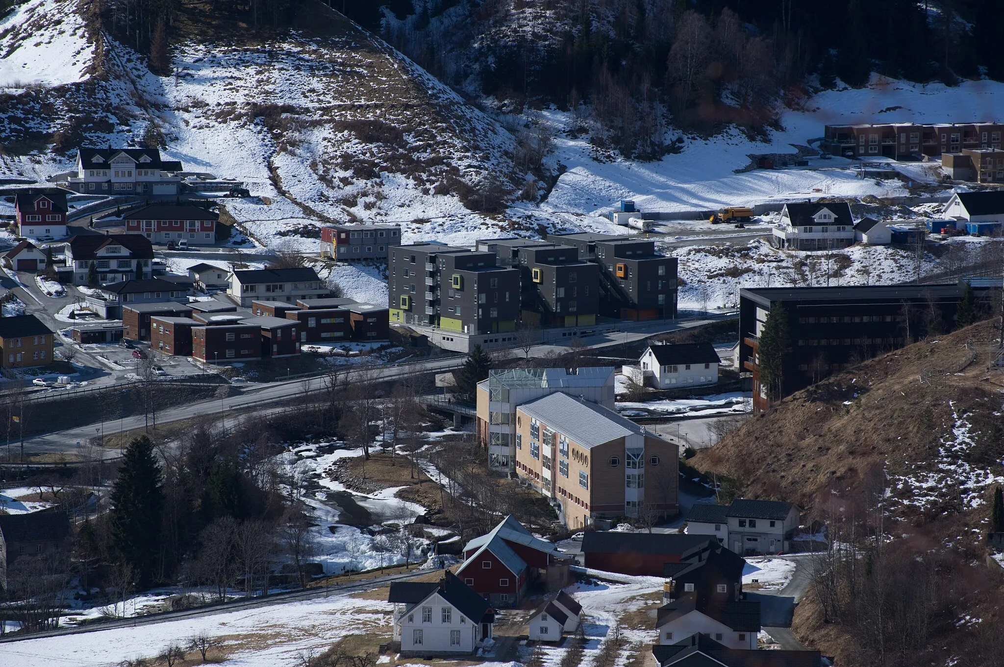
Geilo is a cyclist-friendly locality in Norway, located in the region of Oslo og Viken. It offers a range of cycling opportunities, with options suited for road and gravel cyclists. Geilo is known for its stunning landscapes, majestic mountains, and crystal-clear lakes. Cyclists can enjoy riding through scenic mountain roads and peaceful countryside routes. One well-known cycling spot nearby is Riksvei 7, a popular road with challenging ascents and beautiful views. Compact snow road cycling is another highlight in Geilo during the winter season. With its cycling-friendly infrastructure and breathtaking scenery, Geilo is a must-visit destination for cyclists.
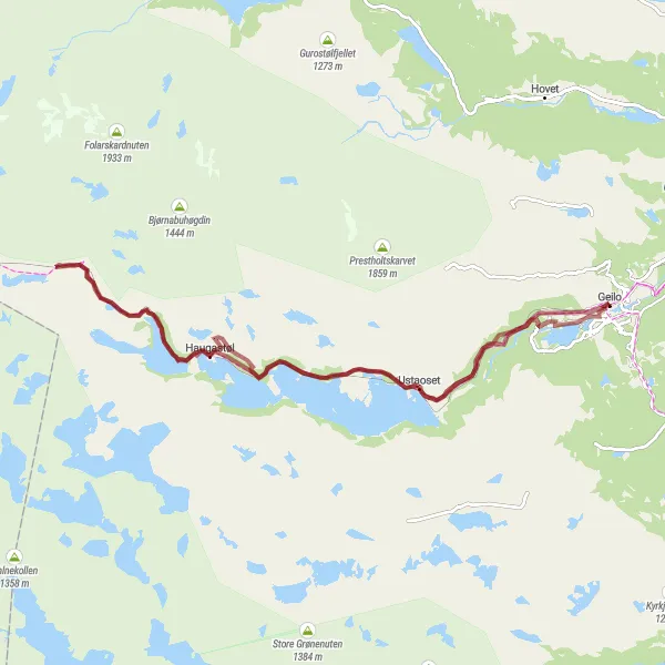
Geilo to Strandafjorden Route
Experience the beauty of Geilo to Strandafjorden on this scenic road cycling route.
Enjoy the scenic landscapes from Geilo to Strandafjorden on this road cycling route. Covering a distance of 83 km with an ascent of 1324 m, this route offers a moderate challenge for well-trained amateur cyclists. Highlights include Søndrol, Øystlihovda, Sundreberget, and Strandafjorden.
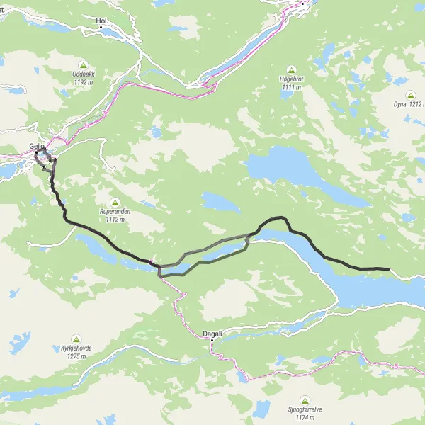
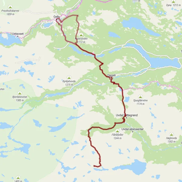
Explore the scenic landscapes from Geilo to Dagali on this challenging road cycling route.
This epic road cycling route takes you through stunning landscapes from Geilo to Dagali. The route covers a distance of 138 km with an elevation gain of 2178 m. It is well-suited for well-trained amateur cyclists looking for a challenging ride. Along the way, you'll pass through beautiful highlights such as Tunhovd, Rødberg, and Kikut.

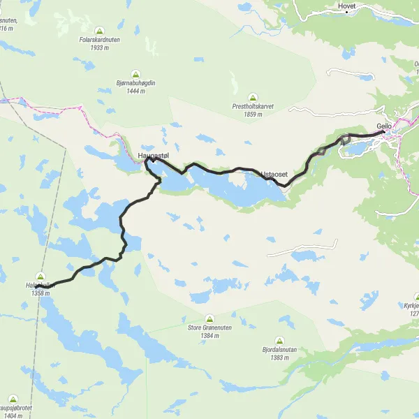
Discover the charming landscapes on this road cycling route from Geilo to Ustaoset and back.
Enjoy a leisurely ride from Geilo to Ustaoset and back on this scenic road cycling route. Covering a distance of 47 km with an elevation gain of 508 m, this route offers a moderate challenge for cyclists. Highlights include Gullsteinhovda, Haugastøl, Ustevatn, and Geilo.
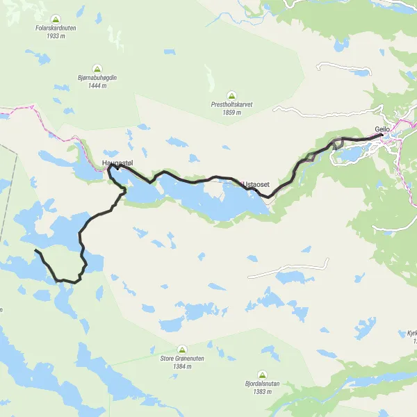
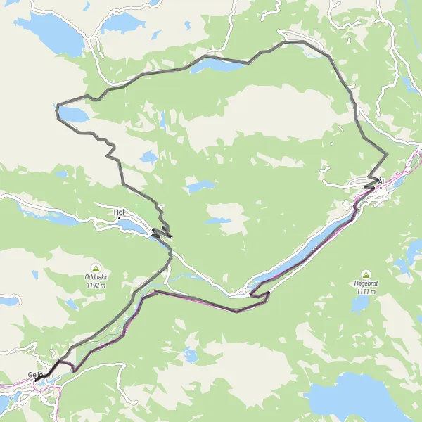
Embark on a thrilling road cycling adventure from Gullsteinhovda to Ustevatn
This 78-kilometer road cycling route from Gullsteinhovda to Ustevatn is perfect for cyclists seeking a mix of adventure and natural beauty. With an ascent of 845 meters, this route provides scenic views and an intermediate level of challenge. Pedal through charming villages and lush green landscapes, and experience the joy of road cycling in the Norwegian countryside.
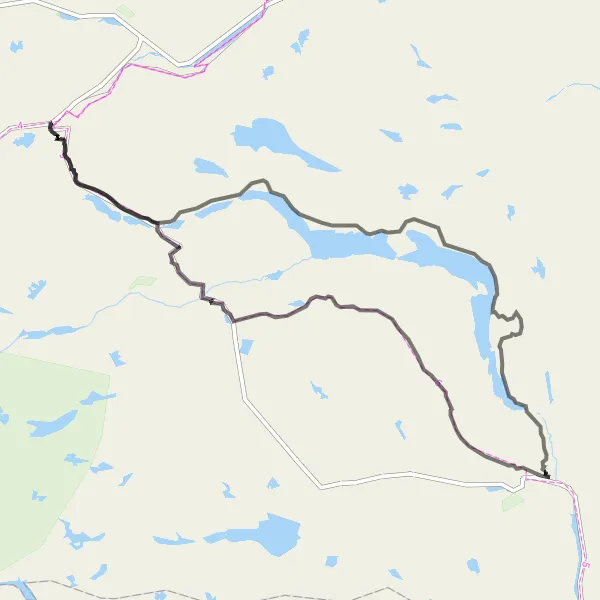
Embark on a scenic gravel loop from Gullsteinhovda to Ustevatn
Experience the thrill of gravel cycling on this 70-kilometer loop from Gullsteinhovda to Ustevatn. With a manageable ascent of 839 meters, this route is suitable for intermediate cyclists. Along the way, you'll be treated to stunning views of the Norwegian countryside, including picturesque lakes and lush forests. Take your time to soak in the natural beauty and enjoy the serenity of this scenic cycling route.
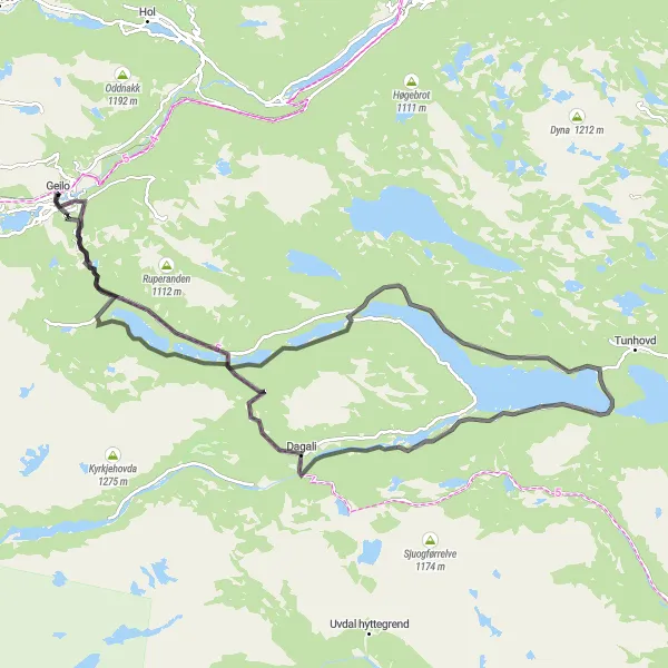
Geilo to Sundreberget Route
Embark on a scenic road cycling adventure from Geilo to Sundreberget with picturesque views along the way.
Experience the beauty of Geilo to Sundreberget on this road cycling route. Covering a distance of 80 km with an ascent of 1307 m, this route offers moderate difficulty, suitable for well-trained amateur cyclists. Highlights include Søndrol, Øystlihovda, Sundreberget, and Strandafjorden.
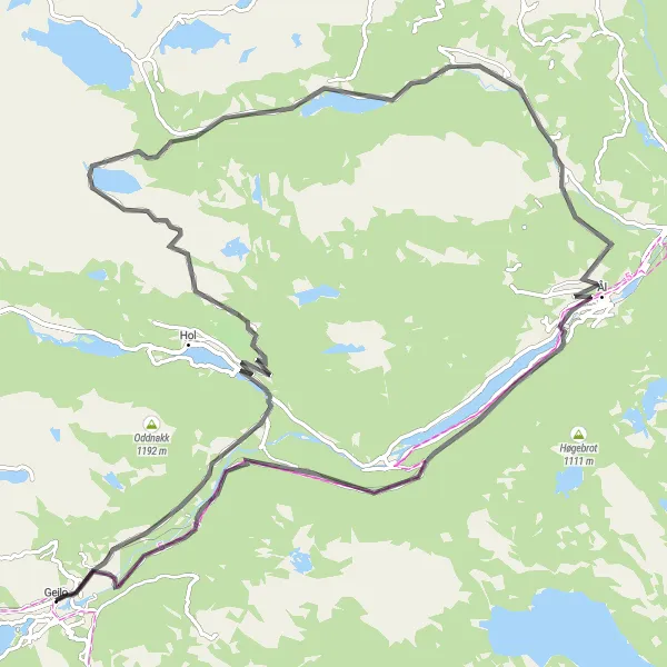
Geilo to Kikut Loop
Embark on a picturesque road cycling adventure from Geilo to Kikut.
Discover the stunning landscapes on this road cycling route from Geilo to Kikut. Covering a distance of 70 km with an ascent of 986 m, this route offers a moderate challenge for cyclists. Highlights include Geilo, Pålsbufjorden, and Kikut.
Embark on a thrilling gravel adventure from Geilo to Snøfonnskardnutan
This gravel route takes you on a thrilling 124-kilometer adventure from Geilo to Snøfonnskardnutan. With a challenging ascent of 2,744 meters, this ride is not for the faint of heart. The scenery along the route is breathtaking, with stunning views of the Norwegian countryside. Get ready for an epic cycling experience surrounded by nature's beauty.
Explore the beautiful Norwegian countryside on a road cycling tour from Geilo to Kikut
This 87-kilometer road cycling tour from Geilo to Kikut is the perfect way to explore the stunning Norwegian countryside. With a moderate ascent of 1,211 meters, this route is suitable for experienced cyclists. Enjoy picturesque views of the landscape as you pedal through charming towns and scenic areas. Immerse yourself in the tranquility of nature and experience the joy of road cycling in Norway.
Embark on a challenging road cycling journey from Gullsteinhovda to Halnekollen
Get ready for a challenging road cycling adventure from Gullsteinhovda to Halnekollen. This 85-kilometer route, with an ascent of 889 meters, is ideal for experienced cyclists seeking an adrenaline rush. Enjoy breathtaking views of the Norwegian countryside as you tackle steep climbs and fast descents. Push yourself to the limit and conquer the Halnekollen challenge!
Cycling routes nearby:

Nearby regions: