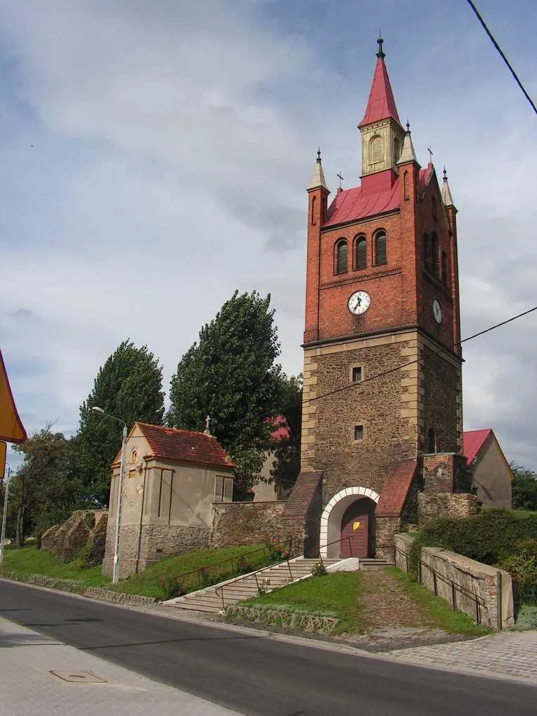
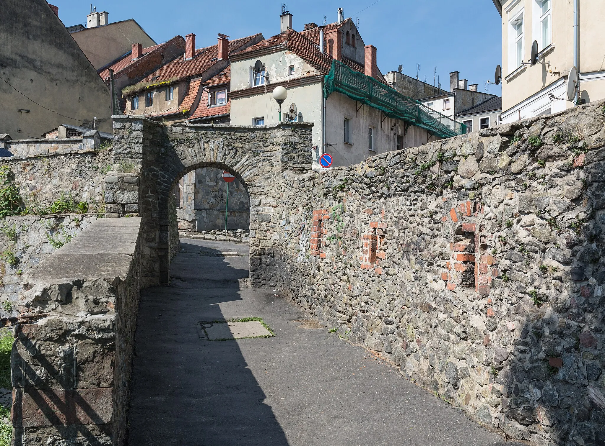
Explore the diverse cycling routes of Łagiewniki.
Cycling routes from Lagiewniki
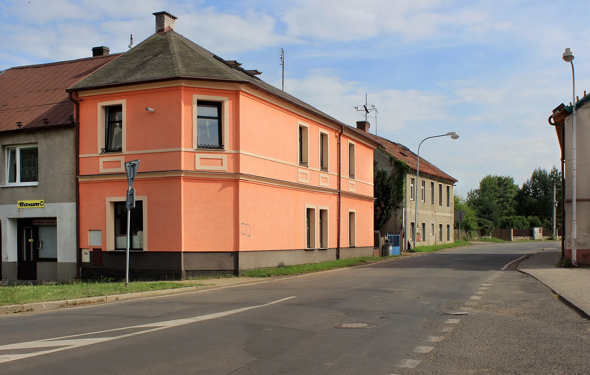
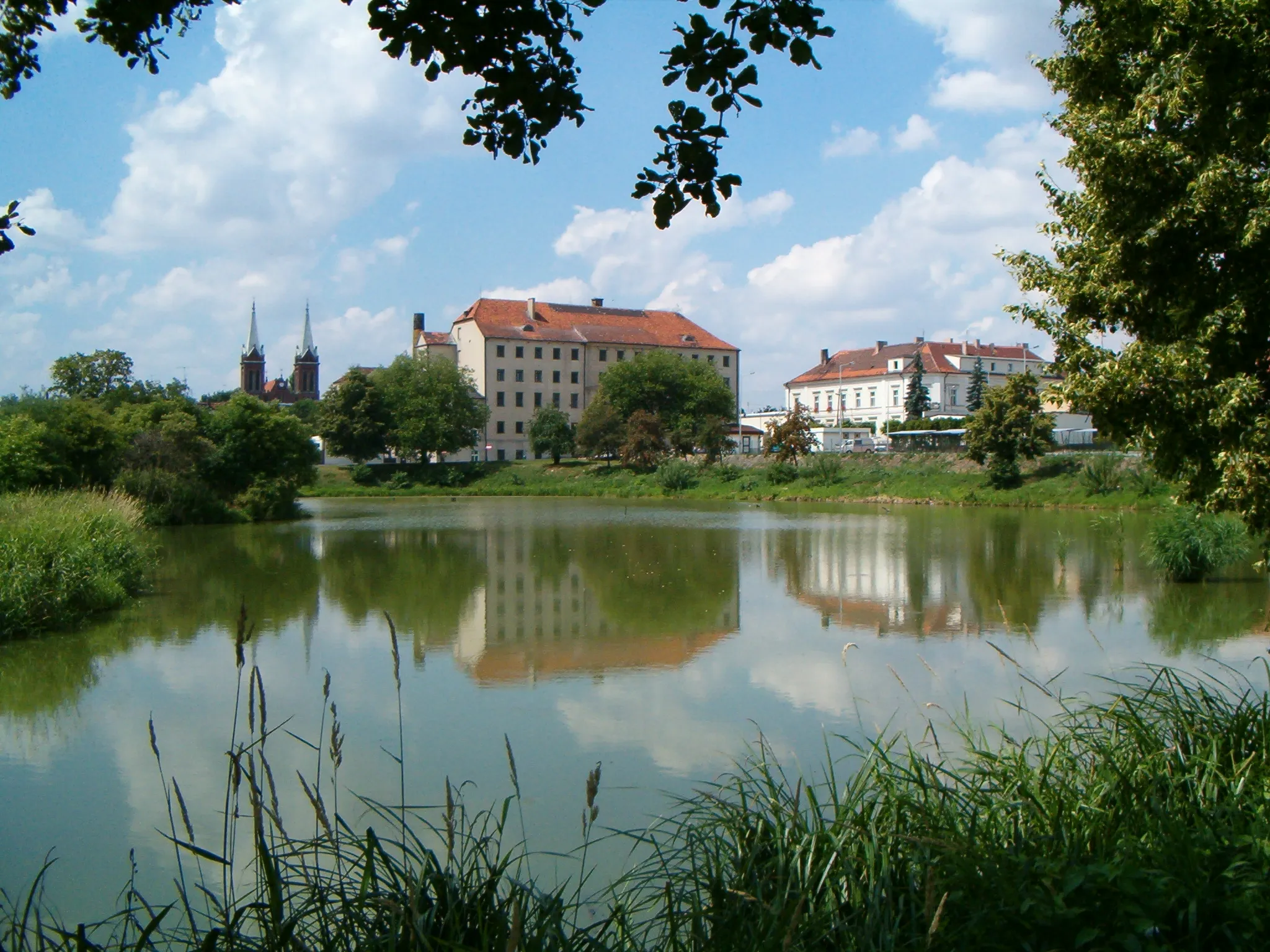
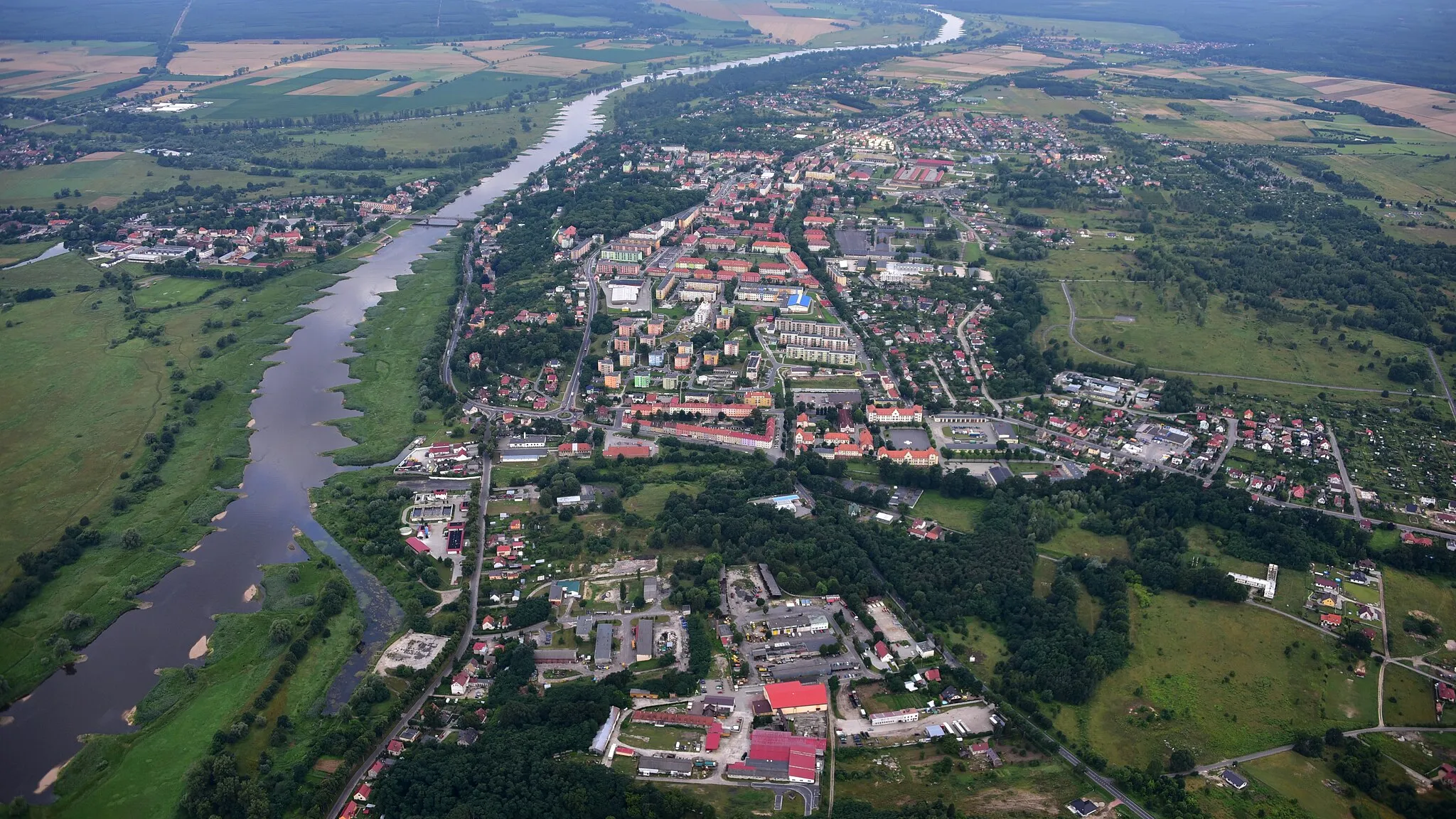
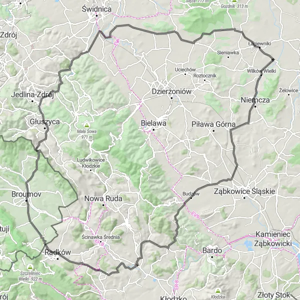
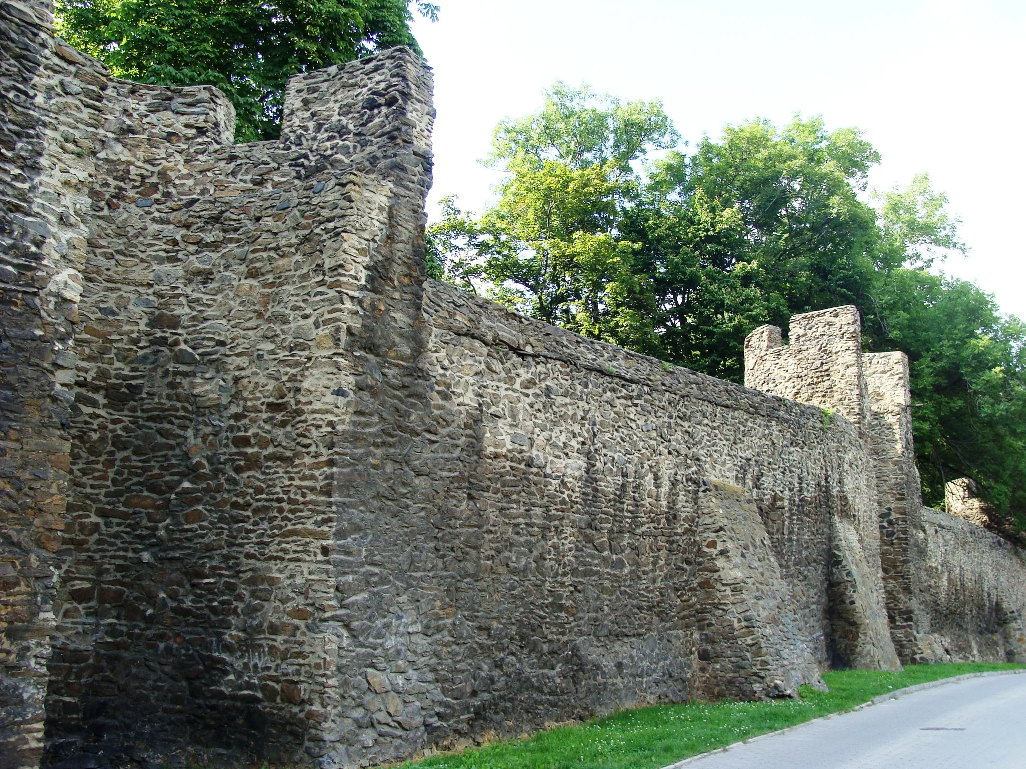
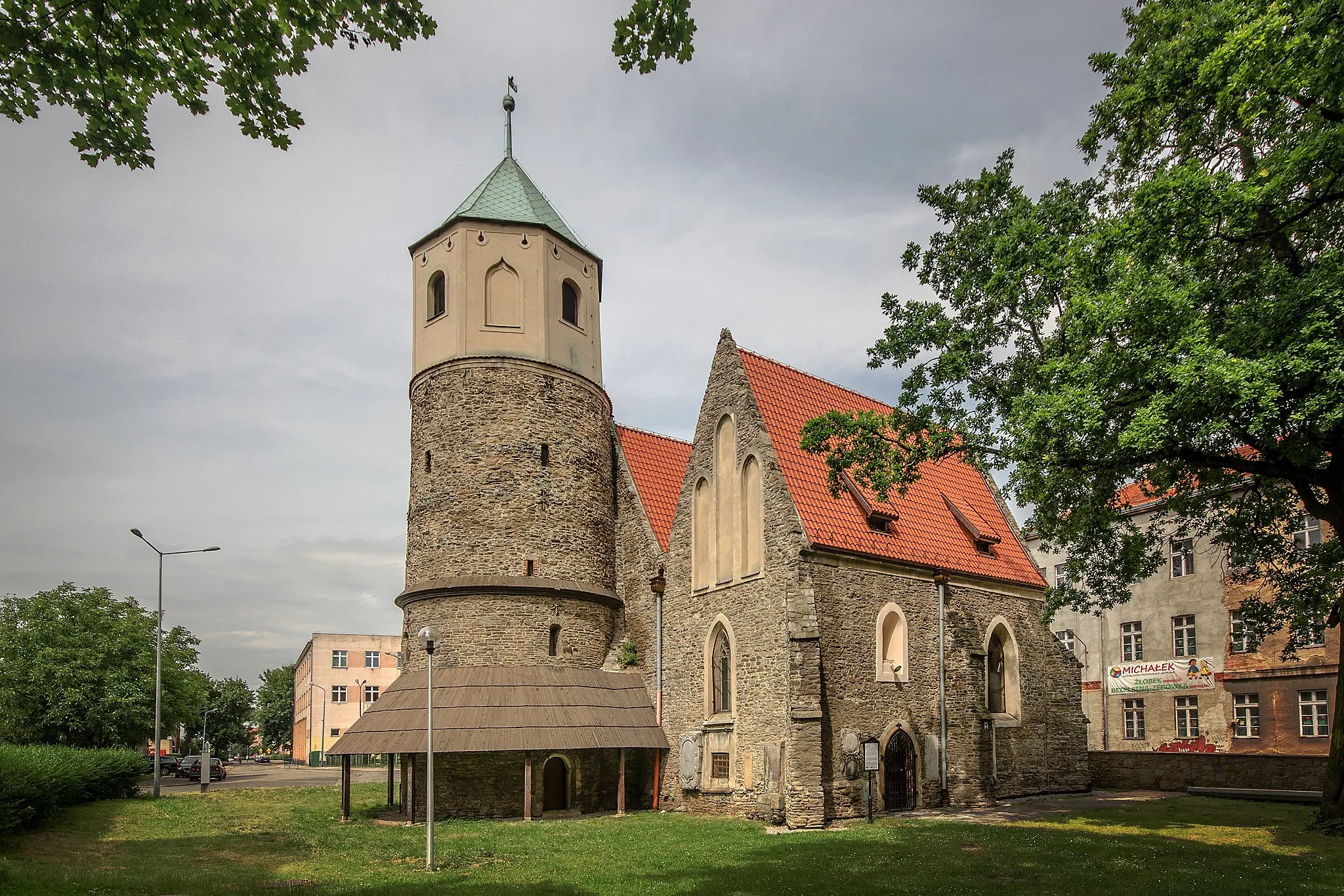
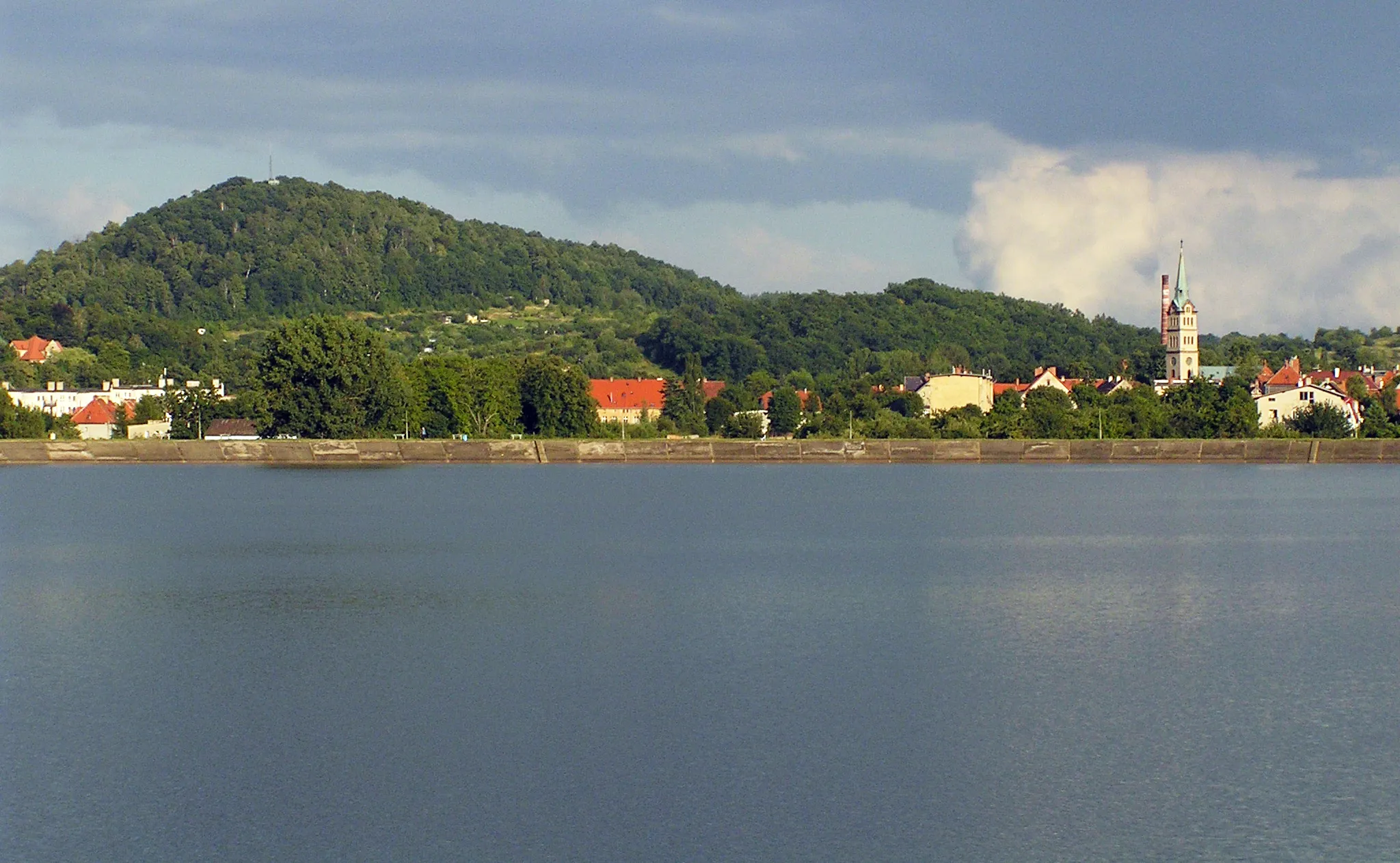
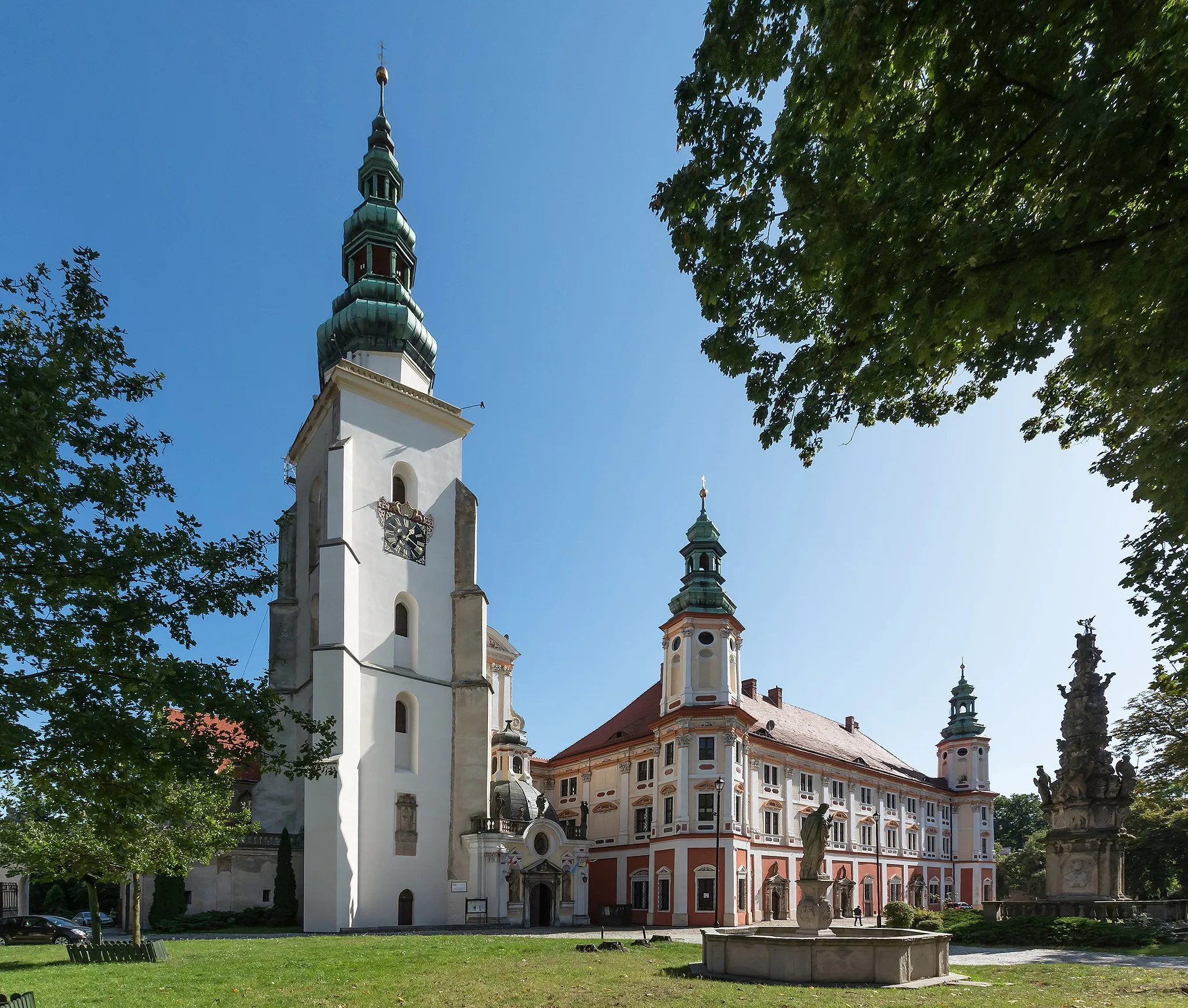
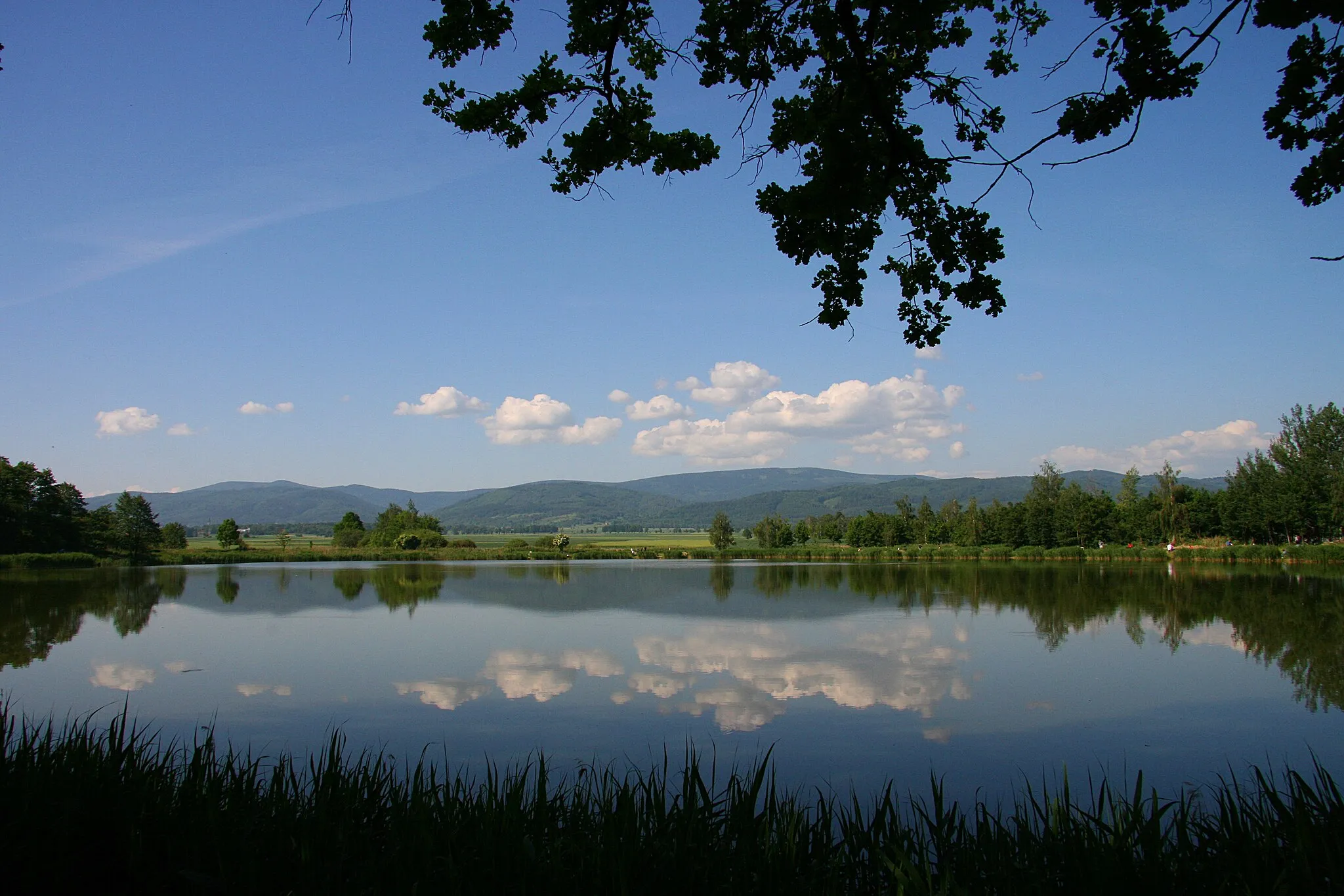
Łagiewniki, a town in Dolnośląskie region of Poland, is an ideal destination for road and gravel cyclists. The region offers a mix of challenging climbs and beautiful countryside routes, providing a great cycling experience. Some notable cycling spots nearby include Rędzińska Loop, which is a popular road cycling route, and Sokole Mountains, known for fantastic gravel trails. With its cycling-friendly environment and variety of routes, Łagiewniki is highly recommended for cyclists.
Oleszyńskie Góry Exploration
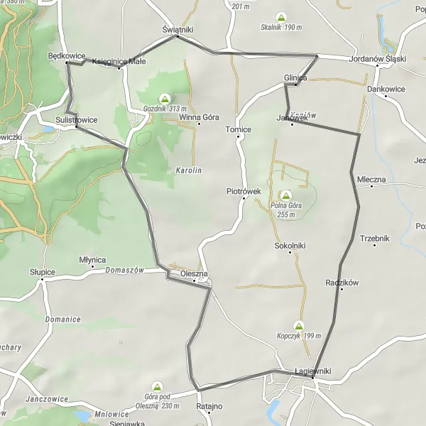
Discover the scenic Oleszyńskie Góry on this road cycling route
Explore the breathtaking landscapes of Oleszyńskie Góry on this 32 km road cycling route starting near Łagiewniki. With a moderate ascent of 164 meters, this route is suitable for cyclists of varying fitness levels. As you ride through the serene countryside, you'll be treated to panoramic views of rolling hills and verdant fields. The well-paved roads provide a smooth riding experience, allowing you to focus on the stunning scenery. Highlights along the route include the captivating Oleszyńskie Góry, a range of hills known for their unique geological formations. At the 12 km mark, you'll reach Sulistrowice, a charming village with historical landmarks and a welcoming atmosphere. Another highlight is the picturesque village of Świątniki, which offers sweeping views of the surrounding landscape. The Oleszyńskie Góry Exploration route offers a delightful cycling experience with plenty of opportunities to immerse yourself in the natural beauty and cultural heritage of the region.
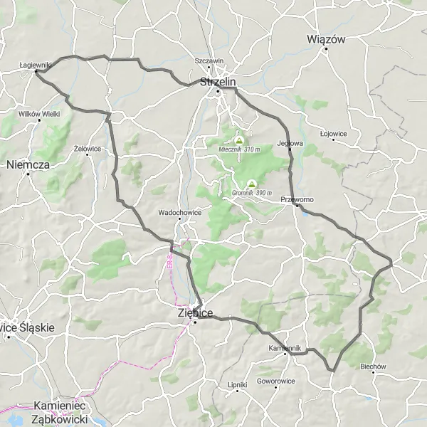
Gilów Hill Climb
Conquer the challenging ascent to Gilów for a rewarding view
The Gilów Hill Climb route offers a challenging and rewarding ride for road cyclists near Łagiewniki. Covering a distance of 47 km, with an ascent of 271 meters, this route is suitable for intermediate to advanced cyclists looking for a picturesque challenge. As you navigate the well-paved roads and rolling hills, you'll experience the diverse landscapes of Dolnośląskie. The highlight of this route is the ascent to Gilów, a steep climb that offers breathtaking panoramic views of the countryside. Other highlights include Dębowa, a picturesque village with traditional architecture and a tranquil atmosphere, and Wzgórze Krzyżowe, a scenic hill known for its natural beauty and captivating vistas. Byszczyna, located at the 41 km mark, offers a refreshing rest stop with its charming cafes and friendly locals. The route concludes in Łagiewniki, where you can celebrate your achievement and explore the village's historic landmarks.
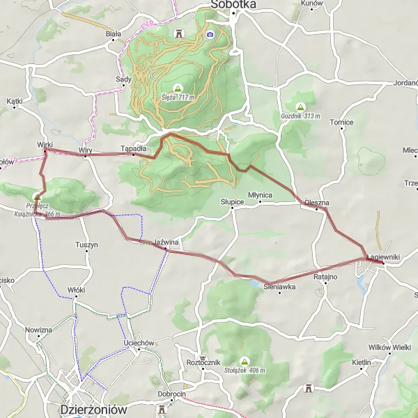
Szkotnica Loop
A scenic gravel loop with historic highlights
The Szkotnica Loop is a picturesque gravel route that takes you through the Dolnośląskie region of Poland. With a total distance of 44 kilometers and an ascent of 236 meters, it is suitable for riders of all levels. Along the way, you will pass through several highlights, including the charming village of Kondratowice and the beautiful Parkowa park. The route also takes you through Glinica and Biały Kościół, where you can enjoy the stunning views of the surrounding countryside. With a difficulty rating of 3 and an epicness rating of 3, this route offers a delightful cycling experience for nature lovers and history enthusiasts alike.
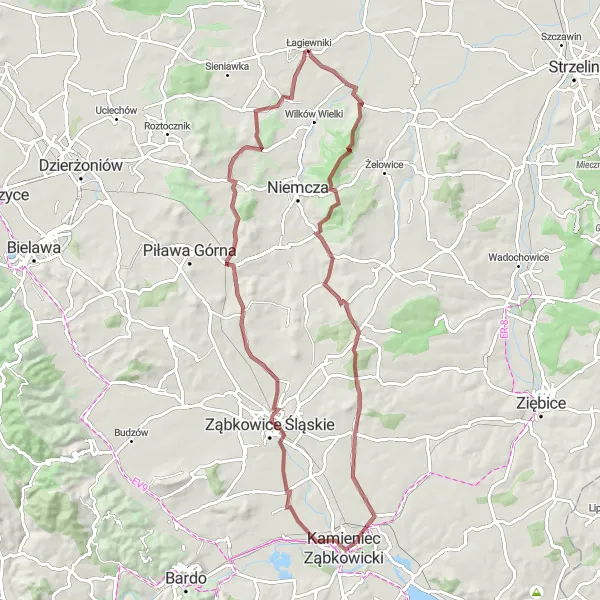
Wojbórz Adventure
An epic road ride with challenging climbs and scenic landscapes
The Wojbórz Adventure is an epic road route that covers a distance of 145 kilometers and features a challenging ascent of 1549 meters. This route is designed for experienced cyclists who enjoy a tough, yet rewarding ride. Along the way, you will tackle several challenging climbs, such as Wilków Wielki, Kępka, Wilczak, Wojbórz, Raszków, Tabor, Benešov, Czarnoch, and Jarząbek. You will also have the opportunity to explore Lubachów and Popiel, two charming villages known for their beautiful landscapes. With a difficulty rating of 5 and an epicness rating of 5, this route is perfect for cyclists who seek a true adventure and want to push their limits.
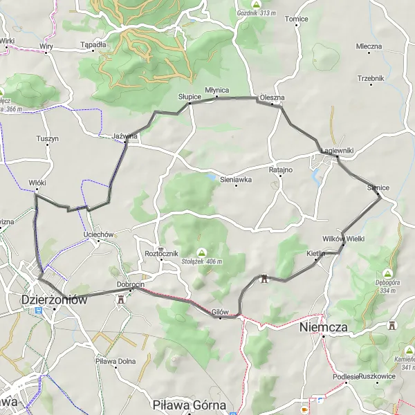
Embark on an epic gravel adventure through the Dolnośląskie Mountains
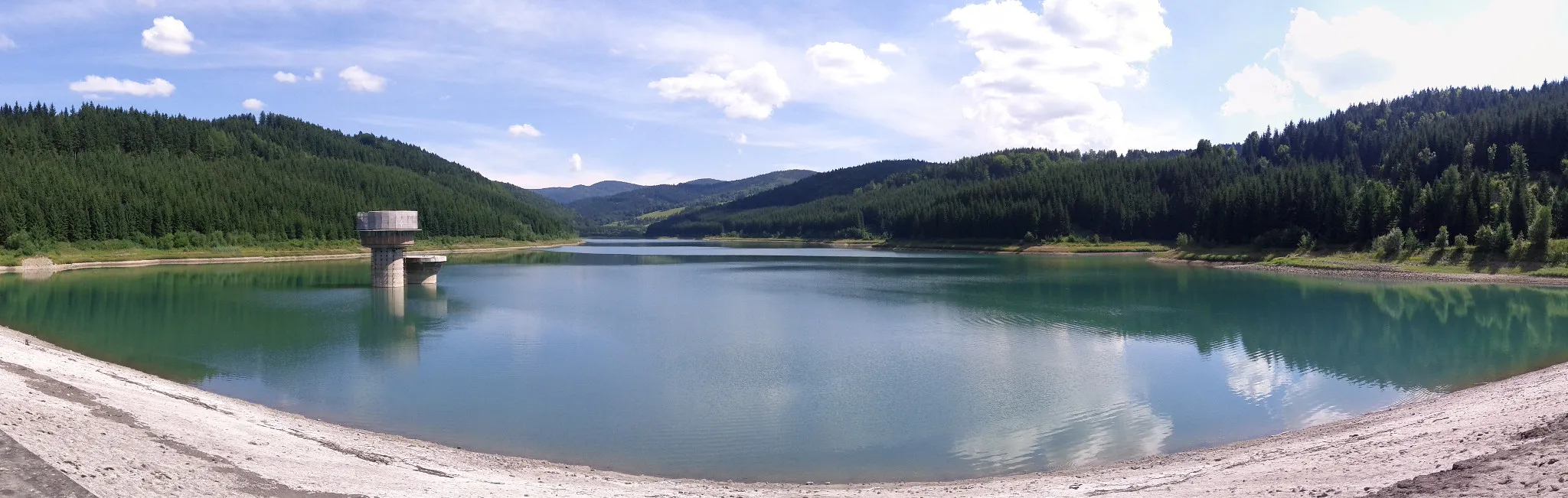
The Dolnośląskie Mountains Adventure is an epic gravel cycling route starting near Łagiewniki. Covering a distance of 77 km with a challenging ascent of 771 meters, this route is specifically designed for experienced and well-trained amateur cyclists seeking a thrilling off-road adventure. Breathtaking mountain landscapes, dense forests, and idyllic meadows await you on this wild ride. The terrain is demanding, featuring steep climbs, technical descents, and rugged paths that will put your skills and endurance to the test. Highlights along the route include Gola Dzierżoniowska, a picturesque village known for its traditional wooden houses and unspoiled nature. Kamionek, nestled amidst rolling hills at the 20 km mark, offers captivating views and a tranquil ambiance. The Góra Krzyżowa climb at the 36 km mark challenges even the most seasoned cyclists, rewarding you with panoramic vistas as you conquer its steep slopes. Make sure to stop at the Towarowa Tower at the 77 km mark in Łagiewniki, a historic landmark that offers stunning views of the surrounding mountains and is the perfect ending to this legendary Dolnośląskie Mountains adventure.
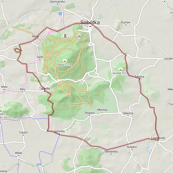
Embark on an adventurous gravel ride to Góra pod Oleszną
The Góra pod Oleszną Discovery route is a thrilling gravel adventure starting near Łagiewniki, covering a distance of 41 km with an ascent of 430 meters. With challenging terrain and breathtaking views, this route is catered to well-trained amateur cyclists seeking an exhilarating ride. As you cycle through dense forests and tackle undulating trails, you'll experience the raw beauty of the Dolnośląskie region. Góra pod Oleszną, situated atop a hill, offers panoramic views of the surrounding landscape, making it a perfect spot to catch your breath and admire the scenery. Highlights along the route include Jaźwina, a small village known for its cultural heritage and charming architecture. At the 21 km mark, you'll reach Wiśniowa, a peaceful village brimming with historical landmarks. Nature lovers will enjoy the scenic beauty of Przełęcz Słupicka, a mountain pass dotted with wildflowers and offering stunning vistas. The Góra pod Oleszną Discovery is a challenging yet rewarding cycling route that allows you to truly immerse yourself in the region's natural wonders and rich history.
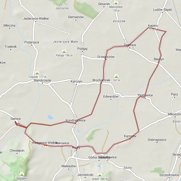
A leisurely gravel ride with scenic countryside views
The Kondratowice Gravel Ride is a leisurely route that covers a distance of 36 kilometers and features a gentle ascent of 72 meters. This route is suitable for cyclists of all levels who want to enjoy a relaxing ride through the beautiful Dolnośląskie region. Along the way, you will pass through Kondratowice, Bierzyn, Księginice Wielkie, and Góra Drzymały, offering scenic countryside views and charming rural landscapes. With a difficulty rating of 2 and an epicness rating of 2, this route provides a pleasant cycling experience for riders who appreciate tranquility and natural beauty.
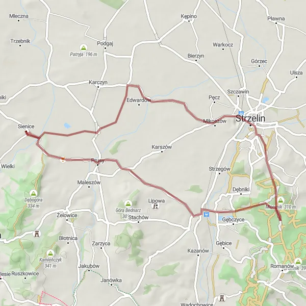
A demanding century ride with stunning natural beauty
The Kłodobok Challenge is a demanding road route that covers a distance of 100 kilometers and features an ascent of 476 meters. This route is suitable for experienced cyclists who enjoy a long and challenging ride. Along the way, you will pass through Skotnica, Jegłowa, Gawroniec, Bogdanów, Kłodobok, Kaplicznik, Stary Henryków, and Góra Balickiego, offering stunning natural beauty and rural charm. With a difficulty rating of 5 and an epicness rating of 4, this route is perfect for cyclists who seek a true challenge and want to experience the best of Dolnośląskie's countryside.
A scenic gravel loop with lush forests and charming villages
The Świerkowa Loop is a delightful gravel cycling route that showcases the beauty of the Dolnośląskie region. Starting near Łagiewniki, the route takes you on a journey through picturesque forests and charming villages. With a total distance of 50 km, it offers a manageable challenge for experienced amateur cyclists. The route features an ascent of 422 meters, providing a satisfying workout and rewarding riders with stunning views along the way. The gravel paths are well-maintained, ensuring a smooth and enjoyable ride. Highlights along the route include the quaint village of Biała, where you can stop for a refreshing break and admire the traditional architecture. Another highlight is the enchanting Grzybek forest, known for its diverse wildlife and serene atmosphere. Overall, the Świerkowa Loop offers cyclists a fantastic opportunity to explore the natural beauty of Dolnośląskie while enjoying the thrill of off-road cycling.
Ratusz Viewpoint Ride
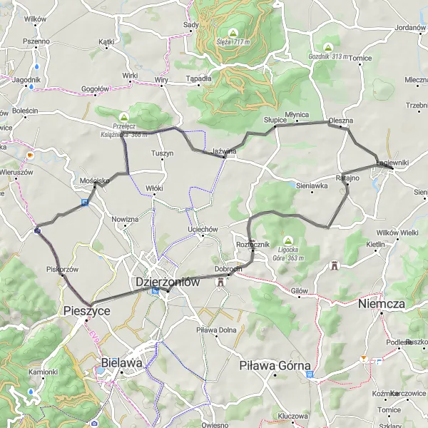
A challenging road ride with scenic viewpoints
The Ratusz Viewpoint Ride is a challenging road route that covers a distance of 61 kilometers and features an ascent of 318 meters. This route is designed for more experienced cyclists who enjoy a good climb. Along the way, you will be rewarded with scenic viewpoints, such as Kozioł and the panoramic viewpoint on the tower of Ratusz. The route also takes you through Piskorzów, Mościsko, Łomy, Szczytna, Jaźwina, and Byszczyna, offering beautiful landscapes and charming rural villages. With a difficulty rating of 4 and an epicness rating of 3, this route promises to provide a memorable cycling experience.
Cycling routes nearby:


Nearby regions: