Tranquility and scenic landscapes await in Kramarzówka.
Cycling routes from Kramarzowka
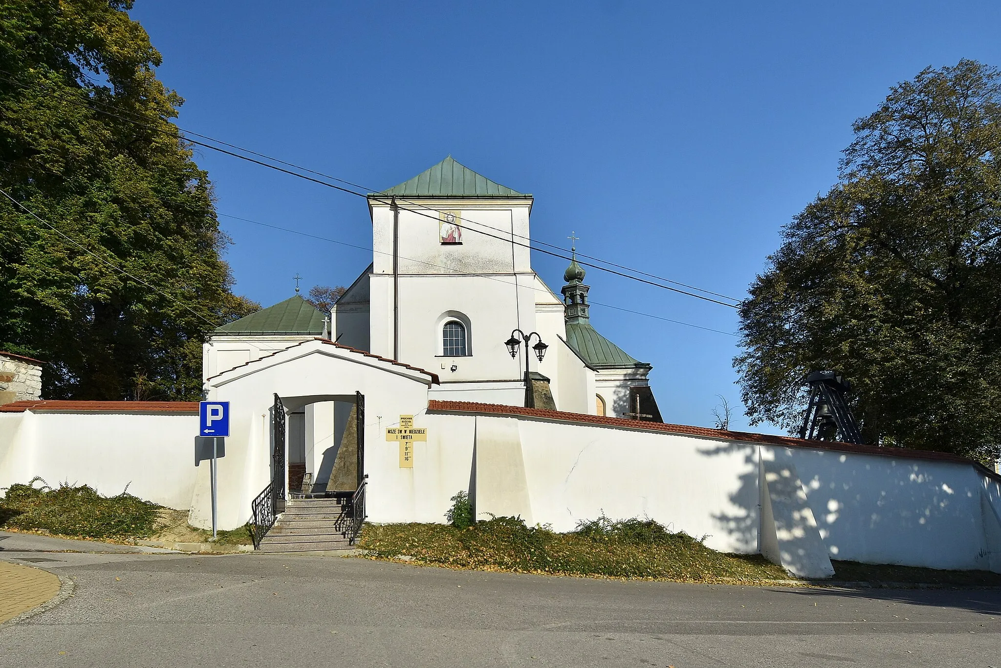
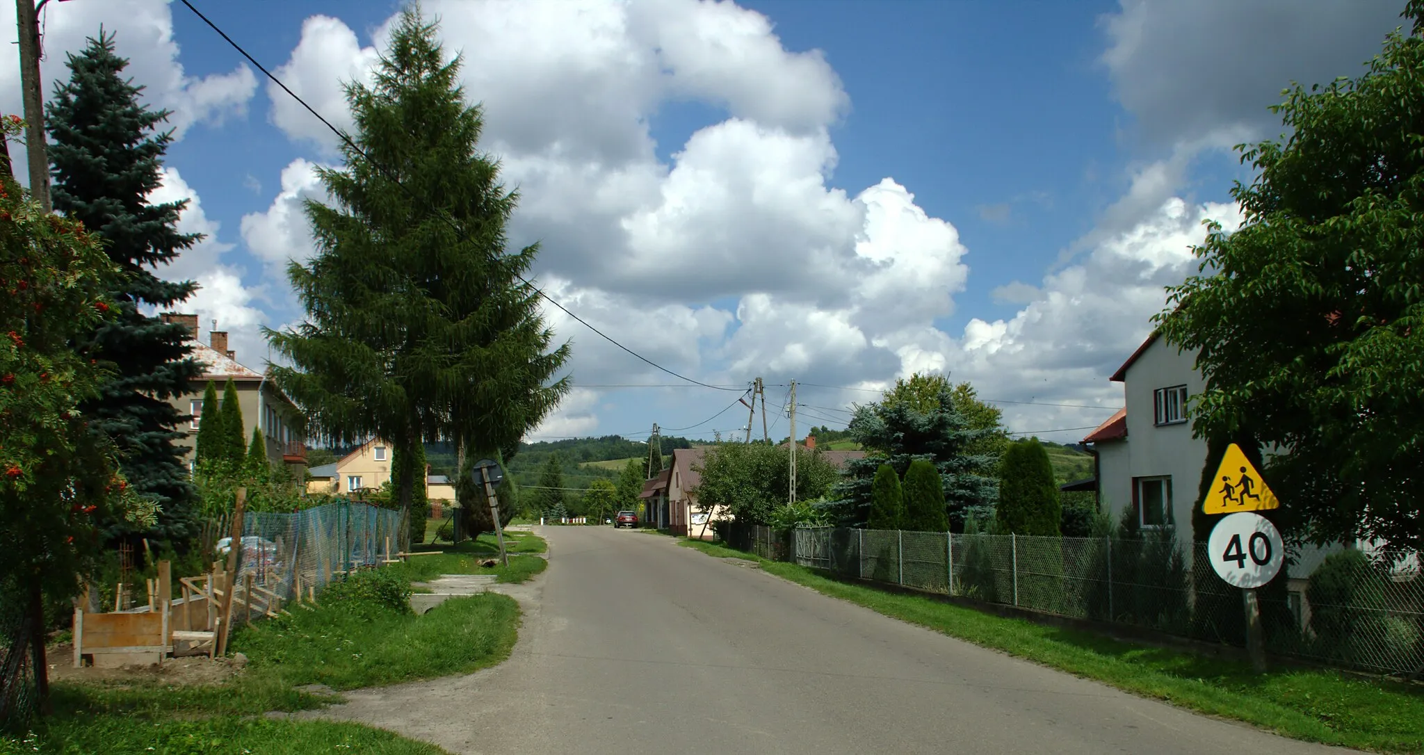
Kramarzówka is a small locality located in the Podkarpackie region of Poland. From a cyclist's perspective, it offers a peaceful and picturesque biking experience. The roads in the area are well-maintained and perfect for road and gravel cycling. There are no particularly famous cycling spots or well-known climbs in the immediate vicinity, but the scenic countryside and charming rural atmosphere make it a delightful destination for cyclists looking to explore off the beaten path. Overall, Kramarzówka receives a rank of 3 on the cyclist-friendly scale.
Discover the tranquil countryside on this scenic gravel route through Tuligłowy.
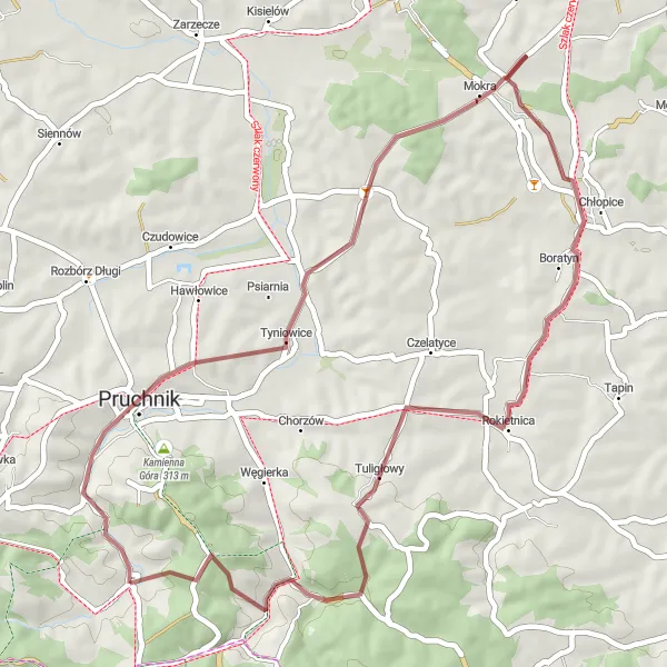
The Tuligłowy Gravel Trail offers a serene and enjoyable cycling experience near Kramarzówka. With a total distance of 46 kilometers and an ascent of 582 meters, this route is suitable for intermediate gravel cyclists seeking a peaceful countryside escape. Cyclists will pass through the village of Tyniowice and enjoy panoramic views of the surrounding landscapes. Highlights along the route include the picturesque village of Mokra and the quaint town of Wola Węgierska. The Tuligłowy Gravel Trail is a great option for those looking to explore the beauty of the Podkarpackie region on gravel paths and quiet roads.
A shorter road cycling route starting and ending in Kramarzówka with interesting highlights along the way.
This road cycling route is a shorter option starting and ending in Kramarzówka, with a total distance of 48 kilometers and an ascent of 471 meters. The route takes you through highlights such as Skopów, Sufczyna, Słoniec, Nienadowa, before returning to Kramarzówka. It is suitable for well-trained amateurs with a difficulty rating of 2 out of 5. Although shorter in distance, this route still offers a scenic experience for cyclists.

Experience the beauty of the San River Valley on this scenic road cycling adventure.
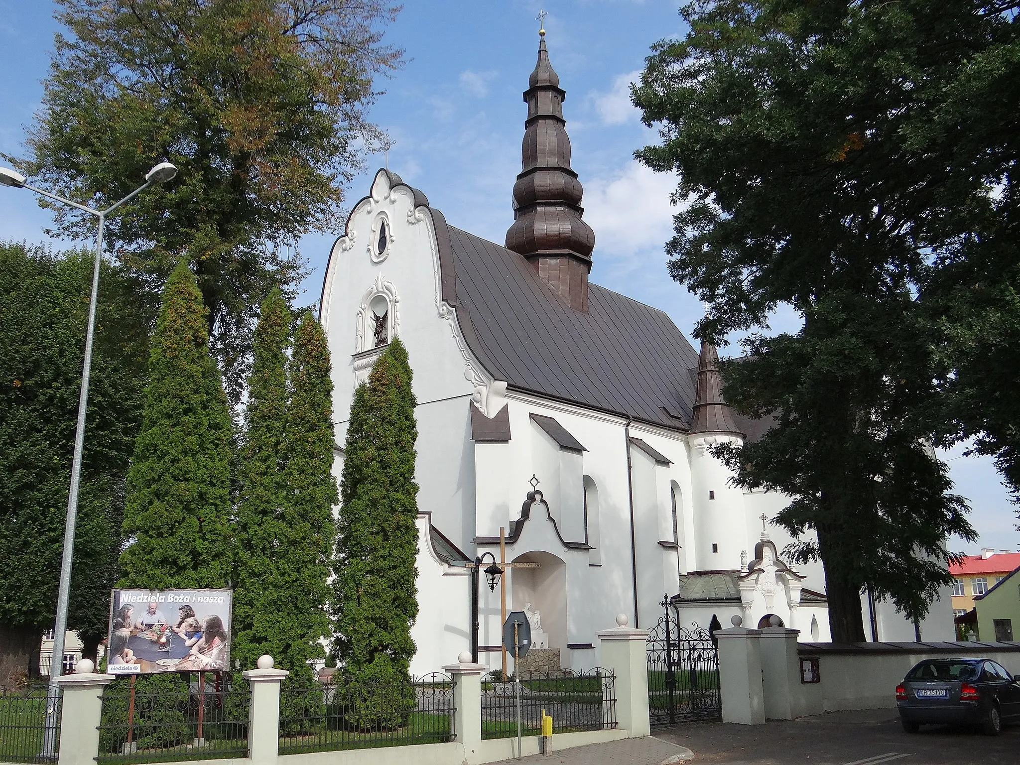
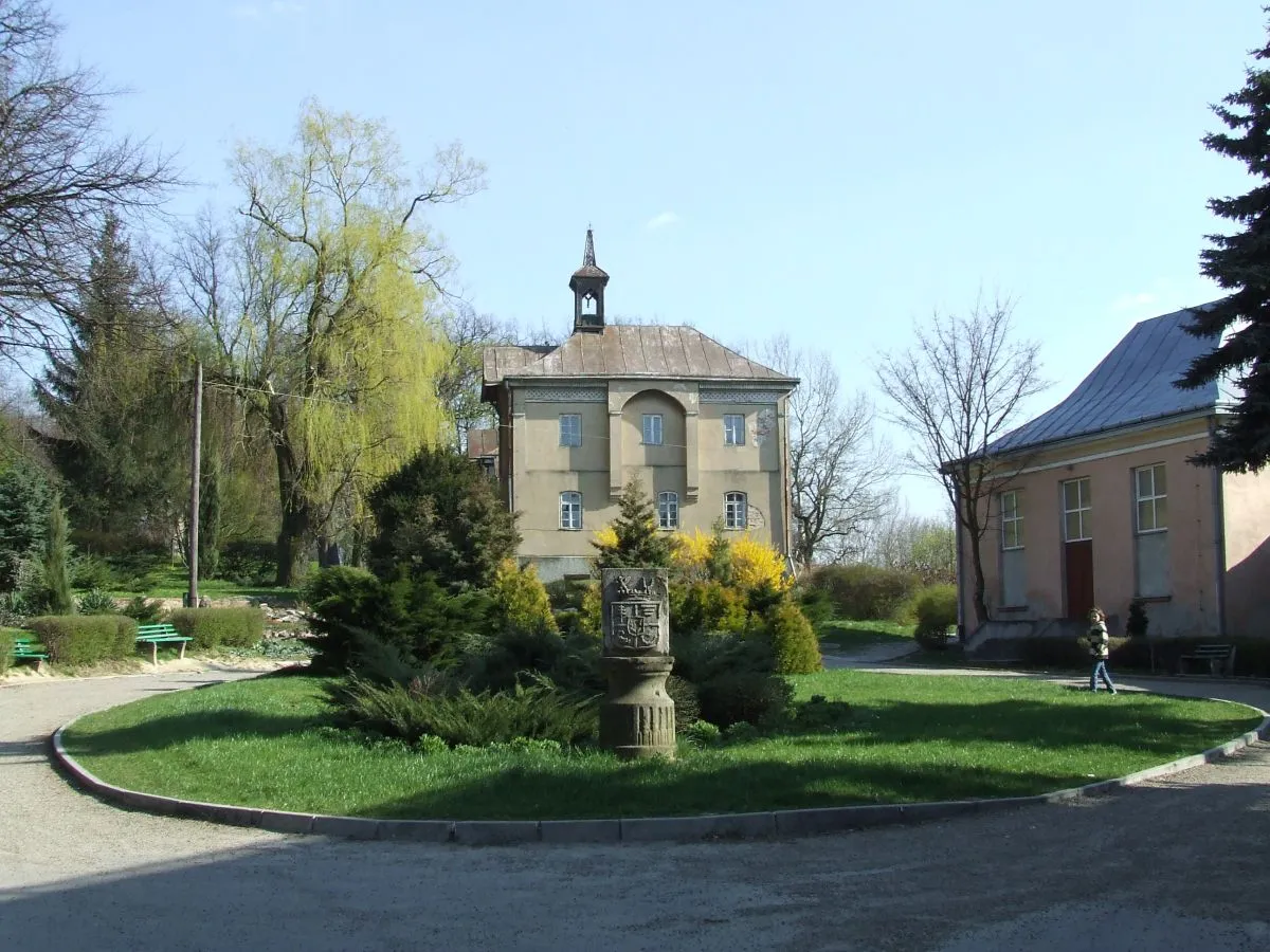
The Cieszacin Wielki Road Loop offers a scenic and challenging road cycling experience near Kramarzówka. With a total distance of 67 kilometers and an ascent of 681 meters, this route is suitable for intermediate cyclists looking for a mix of natural beauty and cultural attractions. Highlights along the route include the historic village of Pruchnik, the charming town of Pełnatycze, and the stunning viewpoint at Skarpa staromiejska z widokiem na dolinę rzeki San. Cyclists can enjoy the peaceful countryside scenery and explore the unique architectural heritage of the region. Overall, the Cieszacin Wielki Road Loop is a great option for cyclists who want to immerse themselves in the beauty of the Podkarpackie region.
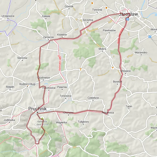
Embark on a cycling adventure exploring rural landscapes near Kramarzówka
This 58-kilometer gravel route near Kramarzówka takes cyclists on a journey through picturesque countryside. With an ascent of 570 meters, it poses a moderate challenge for well-trained amateurs. Don't miss highlights such as Pruchnik, Cieszacin Wielki, Jarosław, Skarpa staromiejska z widokiem na dolinę rzeki San, Chłopice, and Kamienna Góra.

Immerse yourself in the rural beauty of this gravel route near Kramarzówka
For gravel enthusiasts, this 27-kilometer route near Kramarzówka is a perfect choice. With an ascent of 488 meters, it provides a moderate challenge for well-trained amateur riders. The highlights include Wola Węgierska, Karczmarowa, Węgierska Góra, and Kramarzówka.
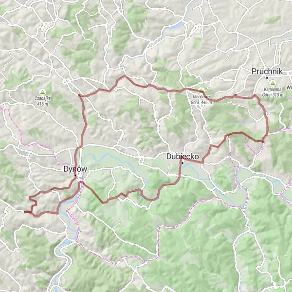
Mokra Gravel Loop
Explore the scenic village of Mokra on this challenging gravel route.
The Mokra Gravel Loop is a challenging trail that takes you through picturesque countryside and forests near Kramarzówka. With a total distance of 59 kilometers and an ascent of 732 meters, this route is perfect for gravel enthusiasts looking for a moderate challenge. Along the way, you'll pass through the charming village of Pruchnik and enjoy stunning views of the surrounding landscapes. The route offers a mix of gravel paths and quiet roads, ensuring a peaceful and enjoyable cycling experience. Overall, the Mokra Gravel Loop is a great option for cyclists looking to explore the natural beauty of the Podkarpackie region.
Kramarzówka Road Route

Challenge yourself in this scenic road route near Kramarzówka
This road cycling route near Kramarzówka offers scenic views and challenging climbs. With an ascent of 660 meters and a total distance of 52 kilometers, it is suitable for well-trained amateur cyclists. The route includes highlights such as Skopów, Pierwsza Góra, Kupna, Choma, Iskań, and Kramarzówka.
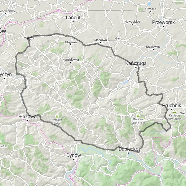
San River Road Adventure

Embark on an epic road cycling adventure along the San River, passing through scenic countryside and historic towns.
The San River Road Adventure is an epic road cycling route with a total distance of 91 kilometers and an ascent of 930 meters. Starting near Kramarzówka, this route takes you through a variety of landscapes, including charming villages, rolling hills, and the picturesque San River. With highlights such as the historic town of Drohobyczka and the scenic viewpoint at Borownica, this route offers a unique blend of natural beauty and cultural attractions. Cyclists can expect a challenging but rewarding experience on this road adventure in Podkarpackie.
Embark on a challenging gravel adventure through breathtaking landscapes near Kramarzówka.
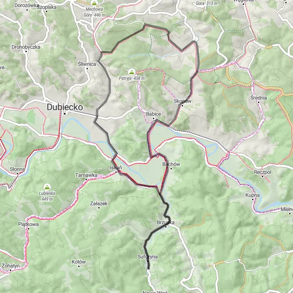
The Jawornik Polski Gravel Adventure is a challenging gravel route that offers breathtaking landscapes and thrilling descents for experienced cyclists. With a total distance of 84 kilometers and an ascent of 1253 meters, this route is not for the faint-hearted. Highlights along the way include the iconic climb up Mechowa Góra and the picturesque village of Kramarzówka. Cyclists will also pass through Patryja, Słonne, and Nozdrzec, all offering unique cultural and natural attractions. The Jawornik Polski Gravel Adventure is a must-try for gravel enthusiasts looking for an adrenaline-packed experience in the Podkarpackie region.
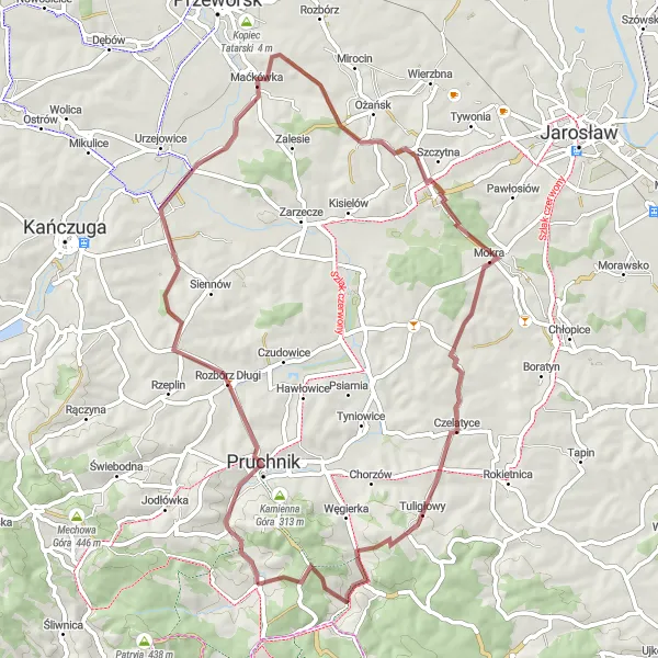
A scenic road cycling route from Kramarzówka to Rozbórz Okrągły with interesting highlights along the way.
This road cycling route starting from Kramarzówka in Podkarpackie, Poland offers a scenic experience with a total distance of 108 kilometers and an ascent of 993 meters. The route takes you through various highlights including Dubiecko, Bachórz, Piątkowa, Borek Stary, Malawa, Markowa, and eventually ends at Rozbórz Okrągły. The difficulty for this route would rate at 3 out of 5, suitable for well-trained amateurs. It is an epic and challenging route for cyclists who are looking for a memorable adventure.
Cycling routes nearby:


Nearby regions: