Scenic rides through charming villages
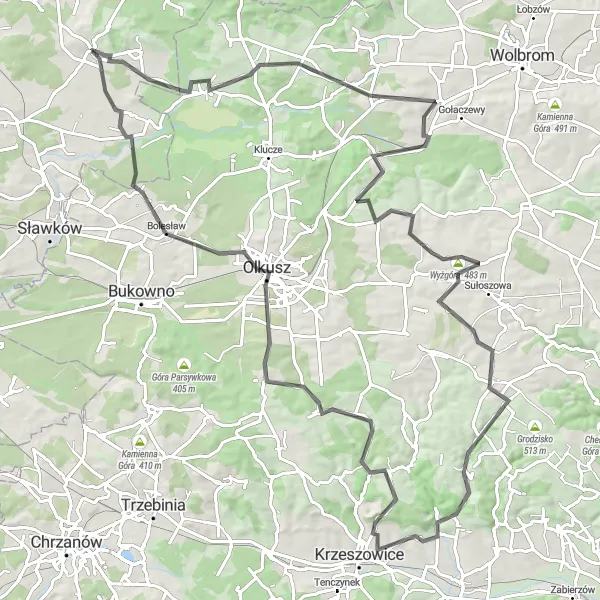
Cycling routes from Niegowonice
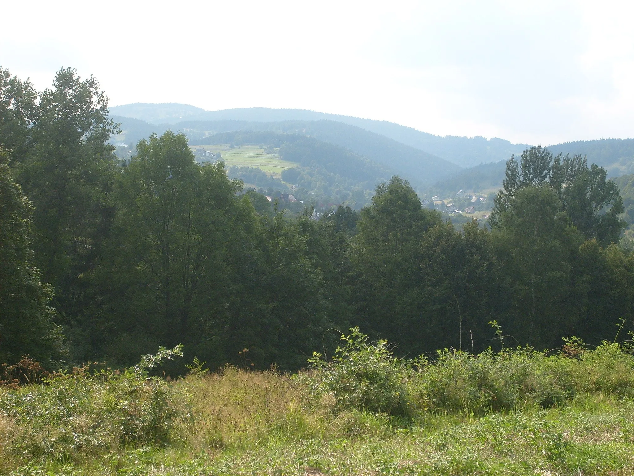
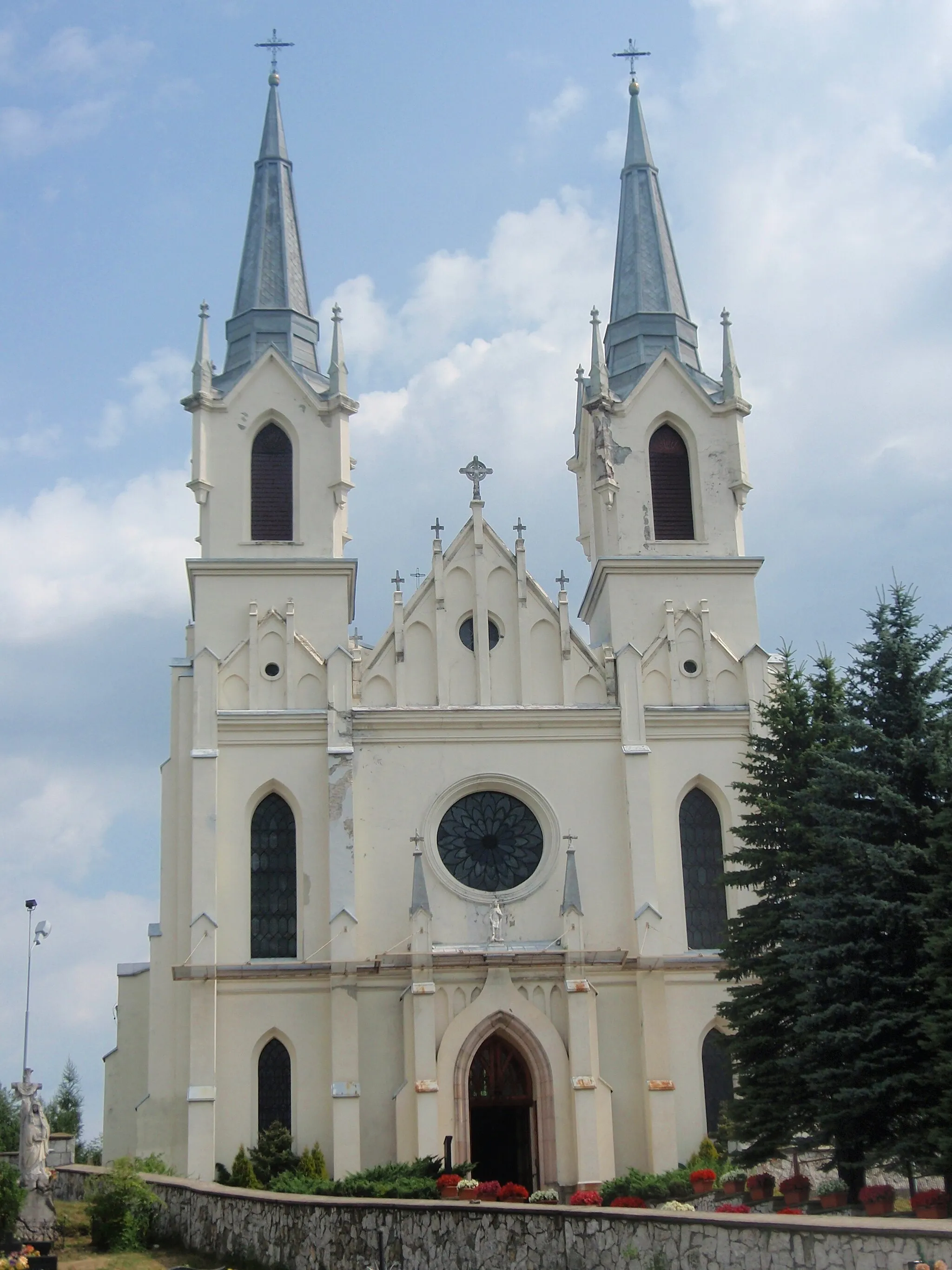
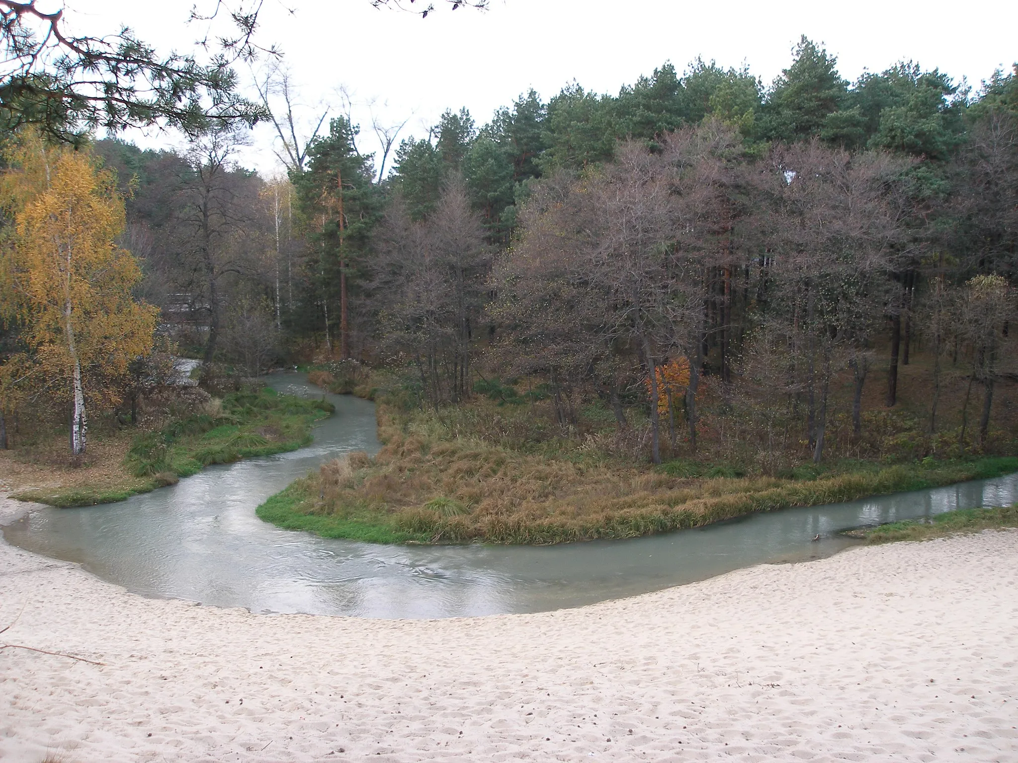
Niegowonice is a locality in the Śląskie region of Poland. From a cyclist's perspective, Niegowonice offers flat to moderately hilly terrain, making it suitable for riders of all skill levels. The countryside surrounding Niegowonice features scenic routes that pass through charming villages and picturesque landscapes. Although Niegowonice does not have any famous cycling-related spots, it provides an enjoyable cycling experience for leisure riders and those seeking peaceful rides.
Embark on a captivating road cycling journey through lush landscapes and iconic viewpoints.
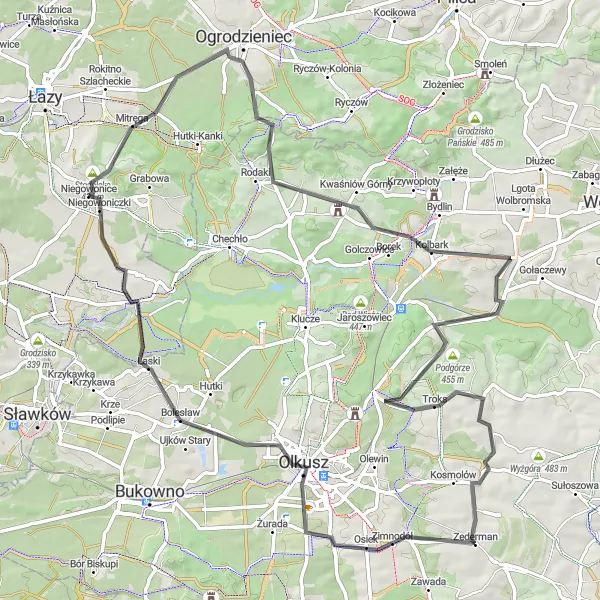
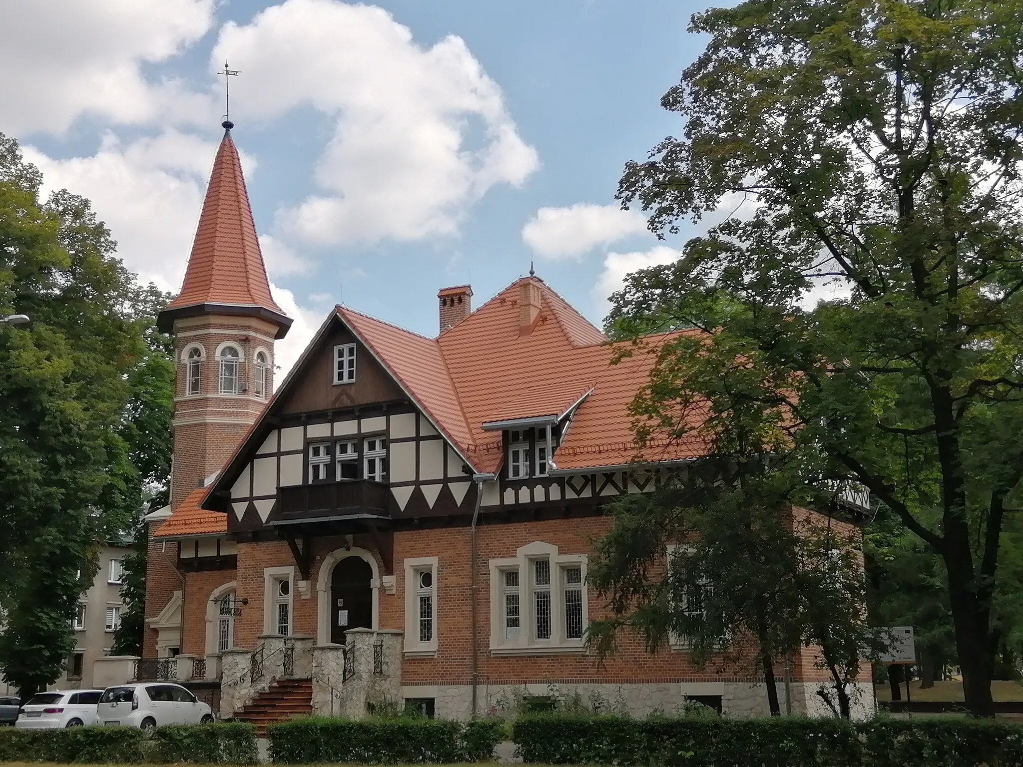
Indulge in the natural beauty of the region with this road route starting near Niegowonice. Explore Chechło, Punkt Widokowy Dąbrówka, Zarzecze, Podgórze, Jerzmanowice, Dębowa Góra, Boża Męka, Paczółtowice, Olkusz, and Niegowonice. With an ascent of 1066 meters and a distance of 108 kilometers, this route offers an unforgettable cycling experience filled with enchanting vistas and charming towns. Take in the stunning views from Punkt Widokowy Dąbrówka, discover the hidden gem of Zarzecze, and enjoy the warm hospitality of Podgórze.
Experience the picturesque countryside while conquering challenging ascents.
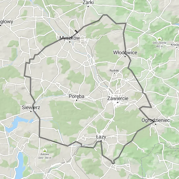
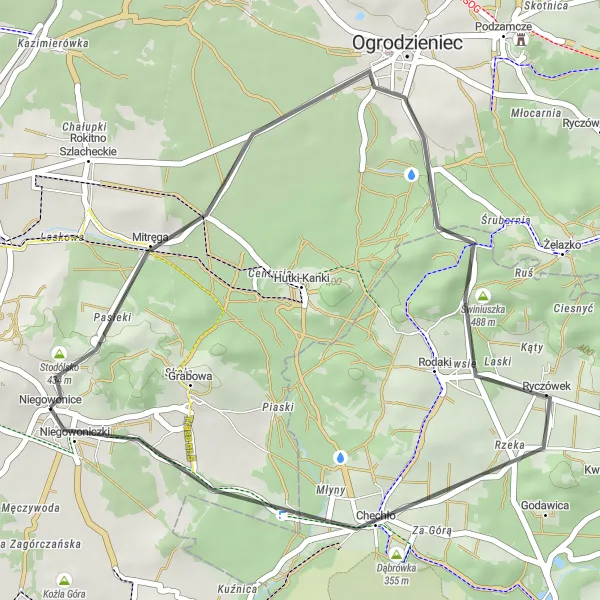
This route offers a mix of beautiful scenery and challenging terrain, making it a great option for experienced cyclists. Start your journey in Niegowonice and prepare to ride through Okrąglica, Ogrodzieniec, Jeziorowice, Złożeniec, Kwaśniów Dolny, and Dąbrówka. With an ascent of 624 meters and a distance of 92 kilometers, this road route promises unforgettable adventures. Expect enchanting forests, captivating lakes, and historic landmarks along the way.
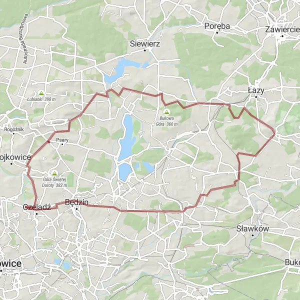
Łazy Road Loop
A challenging road route with scenic highlights
Embark on this challenging road route that covers a distance of 85 kilometers and features a total ascent of 535 meters. Highlights along the way include Łazy, a small village known for its traditional wooden architecture, and Trzebiesławska Góra, a picturesque hill with panoramic views. With a difficulty level of 4, this route is recommended for experienced road cyclists looking for a thrilling ride in beautiful surroundings.
Embark on a thrilling gravel cycling adventure, exploring hidden gems and historic landmarks.
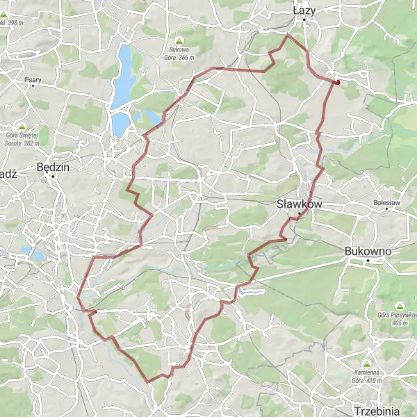
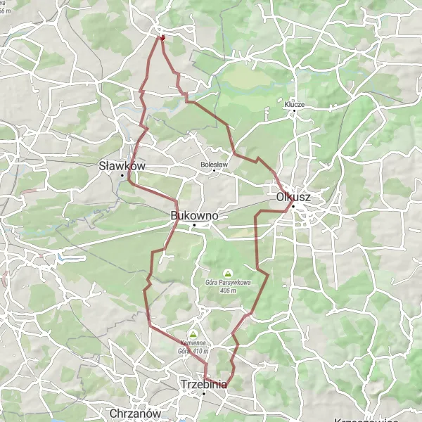
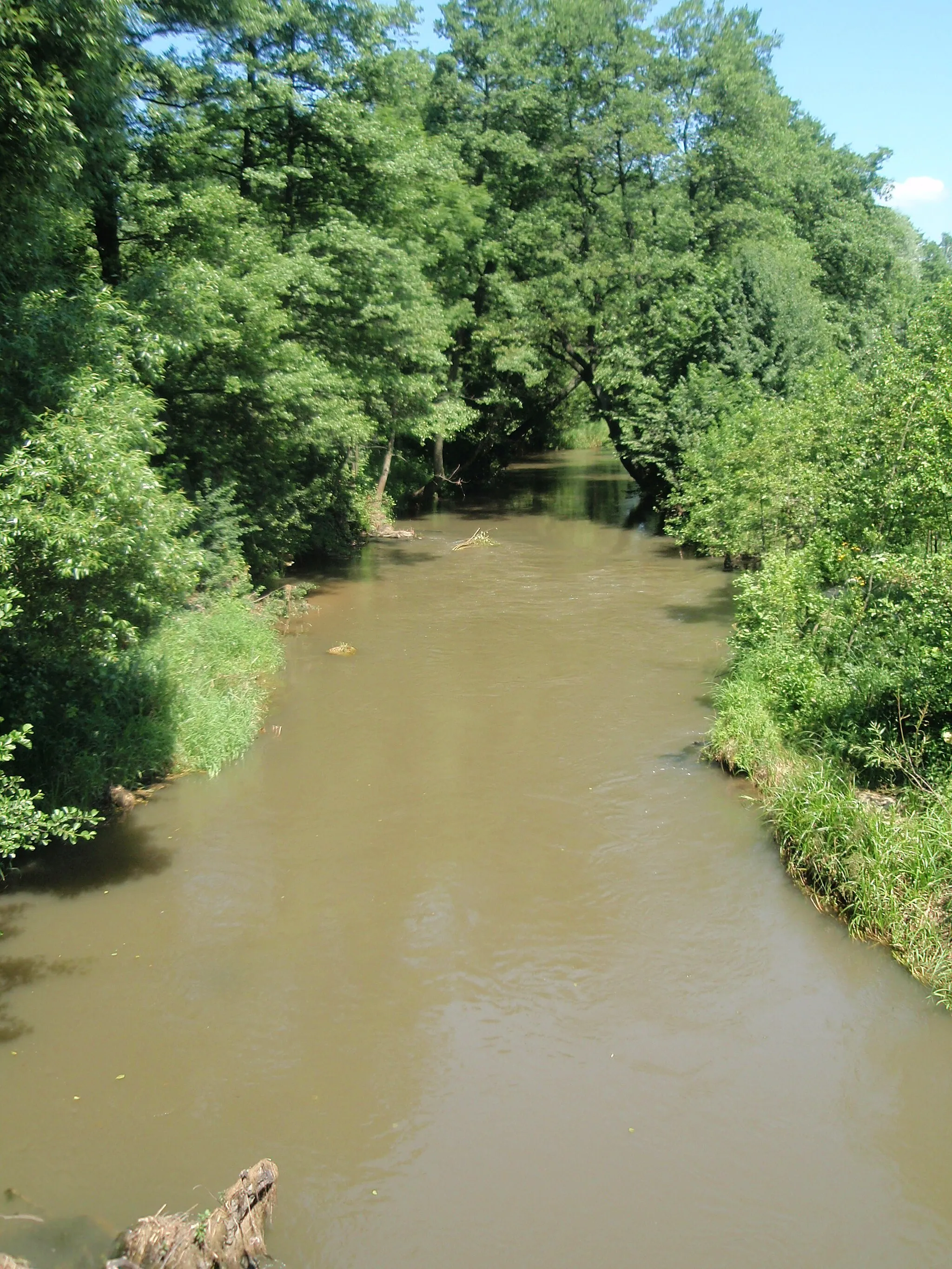
Discover the hidden treasures near Niegowonice with this gravel route encompassing Sławków, Jaworzno, Rudna Góra, Three Emperors' Corner, Wzgórze Gołonoskie, Ząbkowice, Trzebyczka, Niegowonice. With an ascent of 417 meters and a distance of 86 kilometers, this route promises excitement and scenic beauty. Witness the captivating heritage of Sławków, explore the quaint town of Jaworzno, and admire the historic significance of Three Emperors' Corner. As you ride through Wzgórze Gołonoskie, be enthralled by its breathtaking landscapes, and indulge in the tranquility of Ząbkowice.
A scenic gravel route with moderate challenges
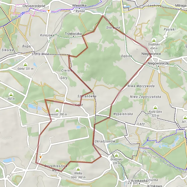
Explore the diverse landscapes near Niegowonice on this moderate gravel route that covers a distance of 34 kilometers and features a total ascent of 266 meters. Highlights include Wielka Góra, a hill with great views of the surrounding area, and Trzebyczka, a village known for its tranquil atmosphere. With a difficulty level of 2, this route is suitable for beginners and intermediate gravel cyclists.
A scenic road route with a short but challenging climb
Explore the beautiful countryside surrounding Niegowonice on this road route that takes you through picturesque villages and offers stunning views. The highlight of this route is the climb up to Okrąglica, a small hill with great panoramic views of the region. With a total ascent of 238 meters and a distance of 30 kilometers, this route is suitable for intermediate cyclists.
Embark on an exciting gravel journey filled with natural wonders and serene landscapes.
For those seeking an adventurous gravel ride, this route starting near Niegowonice delivers. Experience the thrill of cycling through diverse terrain as you pass by Błędów, Olkusz, Góra Kowalikowa, and Trzebinia. With an ascent of 498 meters and a distance of 69 kilometers, this route guarantees excitement and beautiful scenery. Discover the stunning sandy desert of Błędów, admire the historic town of Olkusz, and enjoy the tranquil ambiance of Góra Kowalikowa.
Embark on a challenging road cycling adventure filled with historical landmarks and breathtaking natural beauty.
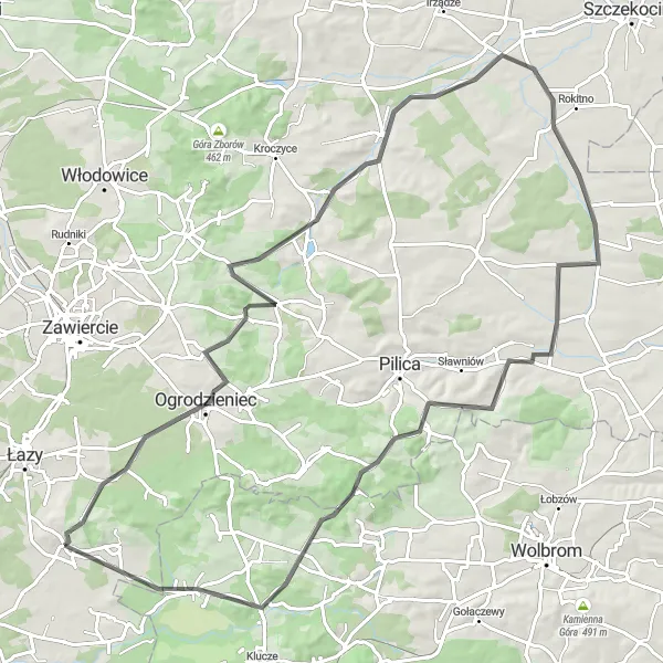
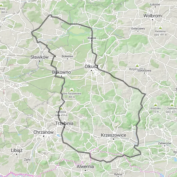
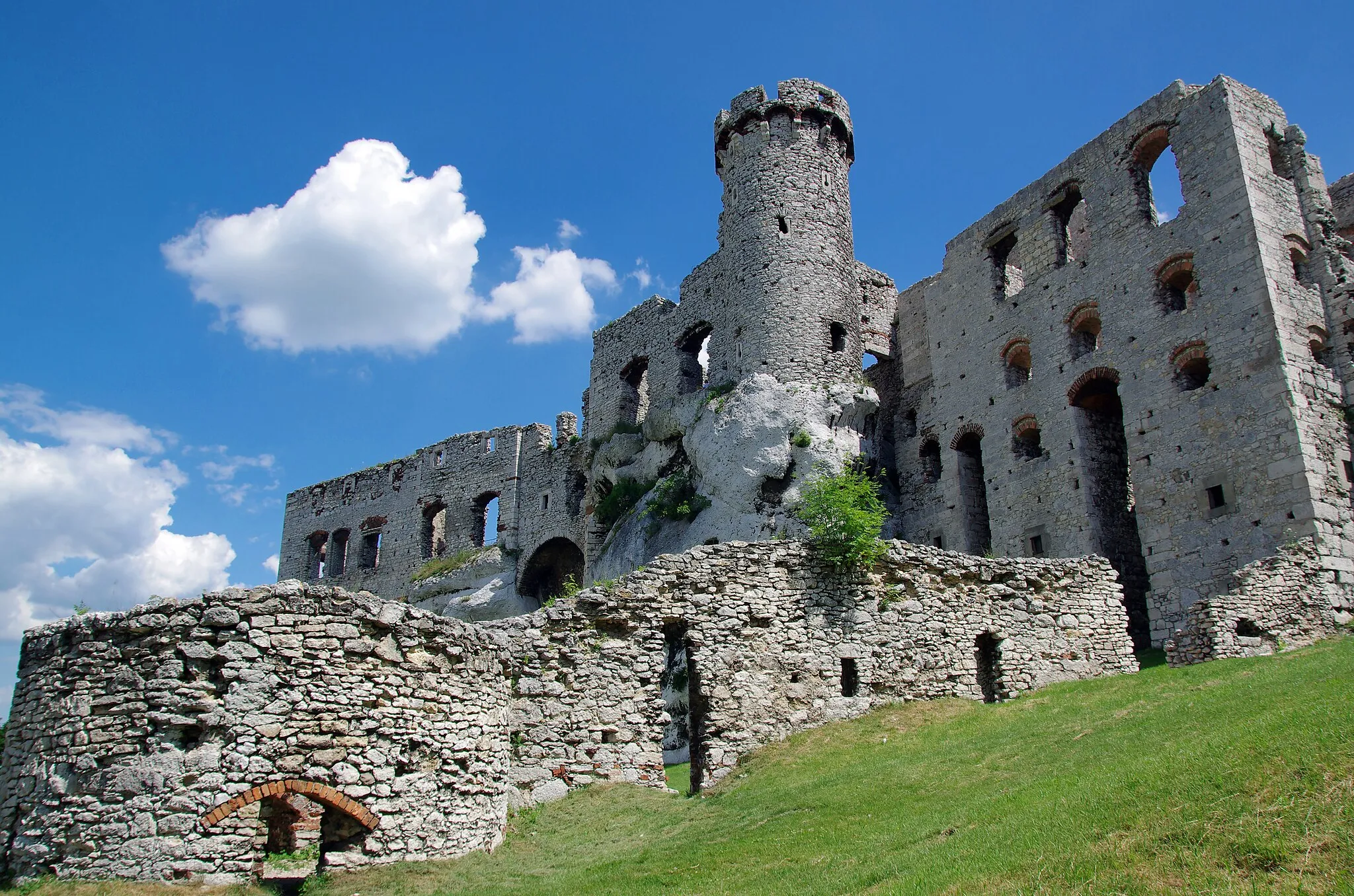
Challenge yourself with this 115-kilometer road route starting near Niegowonice and explore Marglok, Klucze, Góra Żarnowiec, Rudawa, Dębniak, Frywałd, Buca Góra, Nieporaz, Kamienna Góra, Bukowno, Grodzisko, and Niegowonice. This route, with an ascent of 1102 meters, will leave you astonished by its breathtaking landscapes and intriguing historical sites. Appreciate the architectural charm of Marglok, admire the magnificent nature surrounding Góra Żarnowiec, and step back in time in the medieval town of Klucze.
Embark on an exciting road cycling adventure through the beautiful Śląskie region.
This road cycling route offers a thrilling adventure for cyclists who love challenging terrains and stunning landscapes. With a moderate level of difficulty, it is suitable for well-trained amateurs seeking an adrenaline-pumping experience. Pedal through scenic roads and picturesque villages, and embrace the beauty of the surroundings. Get ready to conquer hills, enjoy breathtaking views, and immerse yourself in the local culture.
Niegowonice Gravel Loop
A scenic gravel route exploring the diverse landscapes near Niegowonice
Experience the diverse landscapes near Niegowonice on this gravel route that covers a distance of 77 kilometers and features a total ascent of 487 meters. Highlights include Srocza Góra, a hill with panoramic views, and Trzebiesławska Góra, known for its fertile soil and beautiful meadows. With a difficulty level of 3, this route is suitable for intermediate gravel cyclists.
Cycling routes nearby:


Nearby regions: