Unlock the scenic beauty of Gruia through cycling adventures.
Cycling routes from Gruia
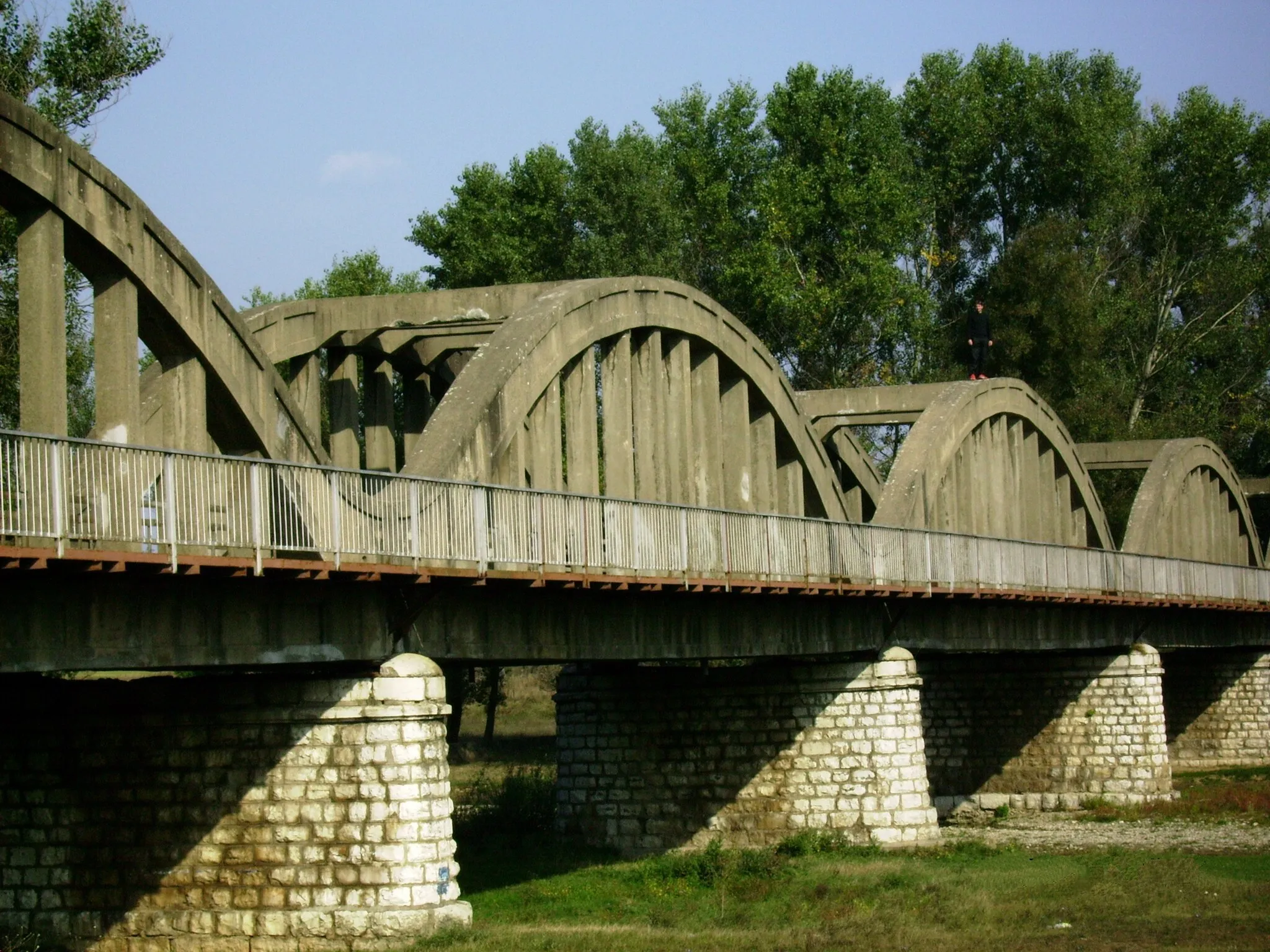
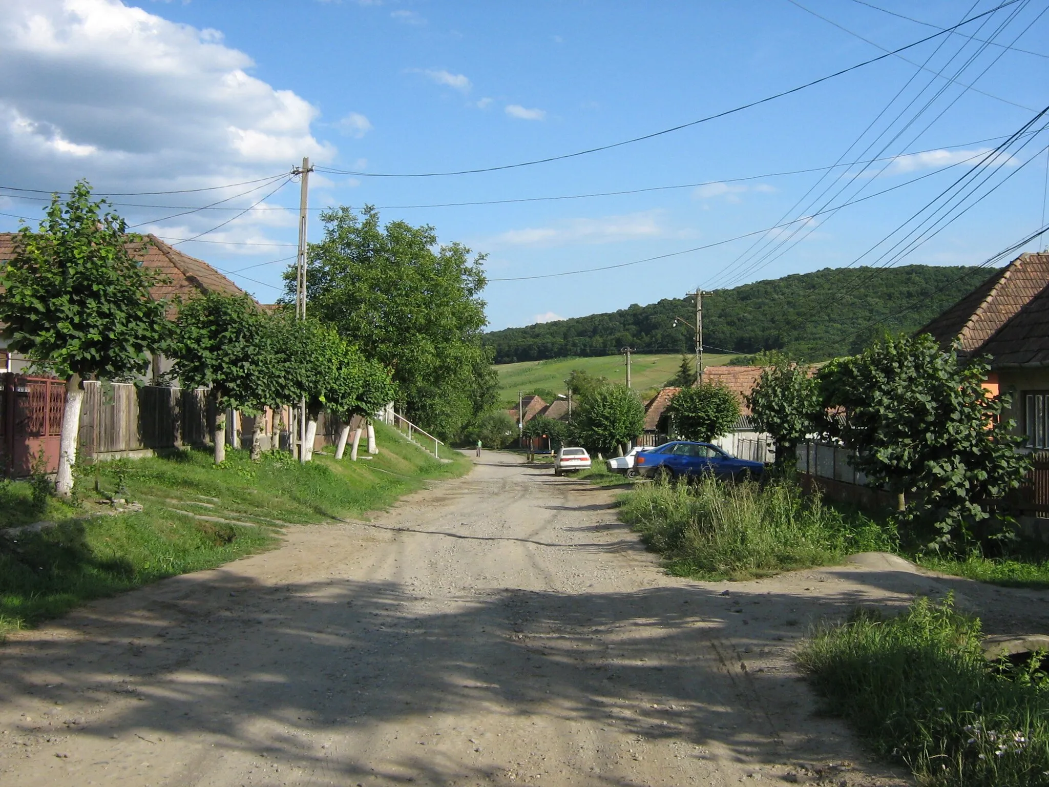
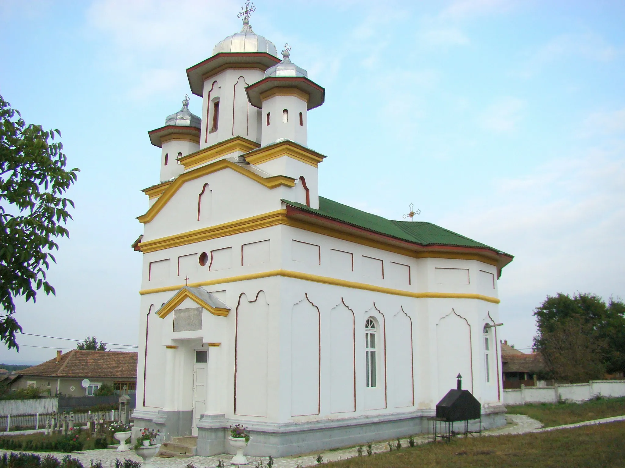
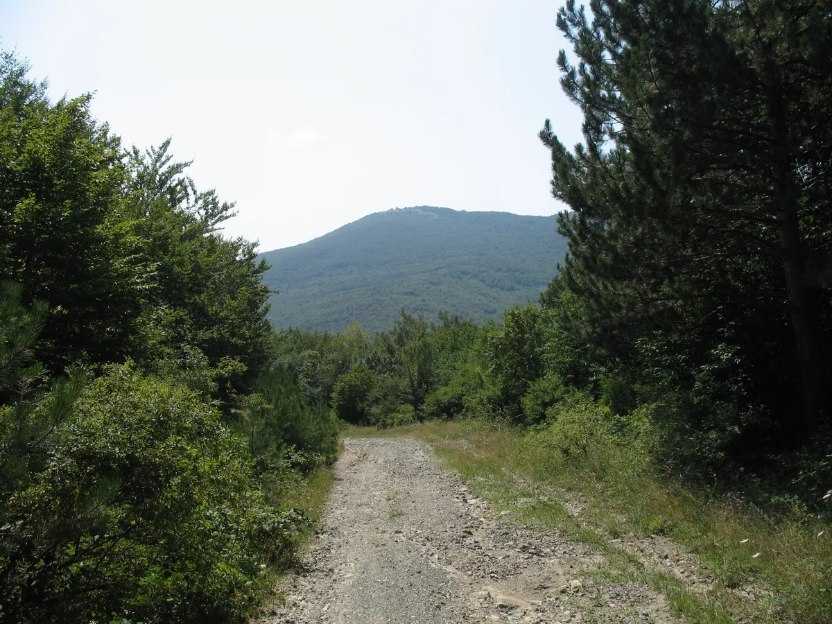
Gruia is a small locality located in the Sud-Vest Oltenia region of Romania. From the perspective of a cyclist, Gruia offers a combination of roads and gravel paths that are suitable for both road and gravel cycling. The terrain consists of rolling hills and picturesque landscapes, making it an enjoyable area to explore on two wheels. For avid cyclists seeking a challenge, nearby lies the renowned climb of Varlita Pass. Overall, Gruia ranks as a 4 in terms of cycling-friendly attributes and does not have any notable cycling tourism spots.
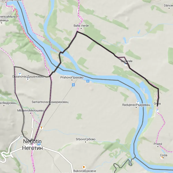
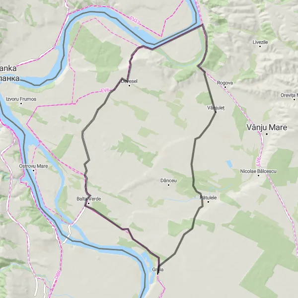
Challenge yourself on a road cycling route from Gruia to Balta Verde
Embark on a challenging road cycling route from Gruia to Balta Verde. Covering a total distance of 127 km and an elevation gain of 784 meters, this route is suitable for well-trained amateur cyclists. Highlights of this route include Balta Verde, known for its natural beauty, Veljkovo, a village with cultural heritage, Brusnik, a scenic spot, and Milosevo, a village with historical significance. The difficulty level of this route is assessed as 4 out of 5, offering a challenging experience for cyclists seeking an adrenaline rush.
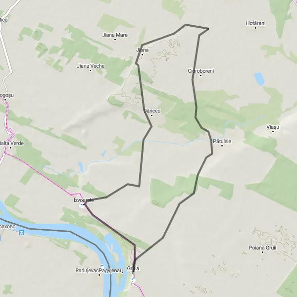
The Pătulele Road
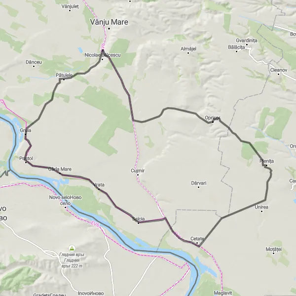
A scenic road leading to Pătulele
The Pătulele Road is a captivating 117 km route that takes cyclists on a journey through the picturesque landscapes of Gruia. With an ascent of 427 meters, this road offers a moderate challenge suitable for experienced riders. Cyclists will have the opportunity to visit Gârla Mare, a tranquil village known for its stunning countryside and traditional way of life.
An idyllic road showcasing the beauty of Balta Verde
The Balta Verde Road is a charming 60 km route that invites cyclists to explore the tranquility of Balta Verde and its surroundings. With an ascent of 242 meters, this road offers a pleasant cycling experience suitable for all skill levels. On this journey, you'll have the opportunity to discover Negotion, a vibrant town with historical landmarks and cultural attractions.
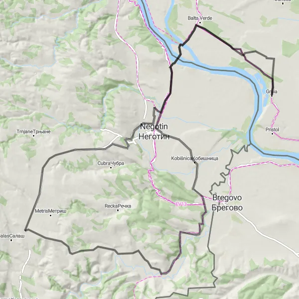
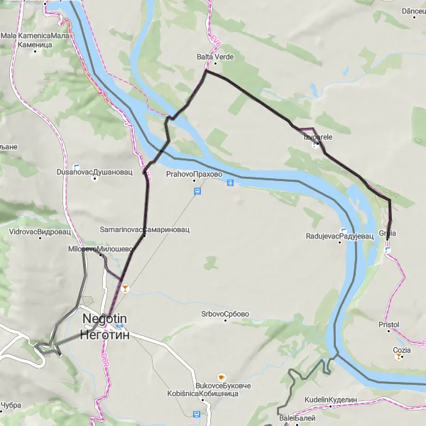
Gruia to Negotin Loop
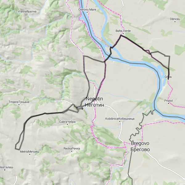
Discover hidden gems on a road cycling route from Gruia to Negotin
This road cycling route takes you from Gruia to Negotin through picturesque landscapes. Covering a distance of 104 km and with an elevation gain of 713 meters, this route is suitable for well-trained amateur cyclists. Highlights of this route include Balta Verde, a spot of natural beauty, Milosevo, a village with historical significance, and Negotin, a town with hidden gems. The difficulty level of this route is assessed as 4 out of 5, offering a challenging experience for those seeking adventure.
The Vidikovac I Road
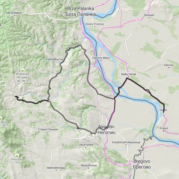
A scenic road with a stunning vantage point
The Vidikovac I Road is a picturesque route that offers cyclists breathtaking views from the Vidikovac I viewpoint. The 126 km journey is characterized by its challenging ascent of 1283 meters. This route is perfect for cyclists who are looking for a challenging ride while immersing themselves in the beautiful landscapes of Gruia.
An adventurous gravel route through Izvoarele
The Izvoarele Gravel Adventure is a thrilling 131 km route that showcases the rugged beauty of Izvoarele. With an ascent of 677 meters, this gravel road is ideal for cyclists craving an adrenaline-pumping experience. Along the way, you'll encounter unique spots such as Deleina and Нерезъй, adding a touch of intrigue to your cycling adventure.
Explore the countryside on a road cycling route from Gruia to Cioroboreni
Cycle through the scenic countryside on this round-trip route from Gruia to Cioroboreni. With a total distance of 80 km and an elevation gain of 386 meters, this route offers a moderate challenge for amateur cyclists. Along the way, you'll pass through highlights such as Izvoarele, known for its natural springs, and Cioroboreni, a charming village with cultural heritage. The difficulty level of this route is assessed as 2 out of 5, making it suitable for moderately trained cyclists.
An exhilarating ride through the hills near Izvoarele
This round-trip cycling route takes you through the scenic hills near Izvoarele, Romania. With a total distance of 45 kilometers and an ascent of 157 meters, this route offers a moderate challenge for well-trained amateurs. The road bike route showcases the beautiful countryside and offers stunning views along the way. The gravel sections give a little more adventure to the ride. Apart from the enjoyable cycling experience, the route also passes by some interesting highlights including Izvoarele, Cioroboreni, and Pătulele. These areas offer unique sights and are worth stopping by during the journey. Overall, this cycling route provides a great opportunity to enjoy the Romanian countryside while experiencing a moderate challenge on the bike.
A scenic road passing through Milosevo
The Milosevo Road is a 66 km route that showcases the beauty of Milosevo and its scenic surroundings. With an ascent of 306 meters, this road offers a moderate challenge for cyclists of all levels. Along the way, you'll pass by Balta Verde, a tranquil lake surrounded by lush greenery and offering a peaceful atmosphere.
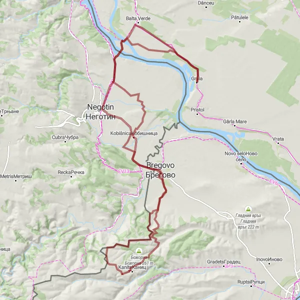
Gruia to Antimovo Loop
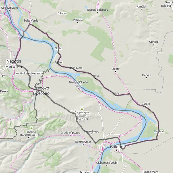
A scenic road cycling route from Gruia to Antimovo
This round-trip cycling route takes you from the charming village of Gruia to Antimovo through beautiful countryside. With a total distance of 139 km and an elevation gain of 442 meters, this ride offers a good challenge for amateur cyclists. The route passes through highlights such as Gârla Mare and Basarabi, where you can take in the picturesque landscapes and enjoy the peaceful atmosphere of the area. The difficulty level of this route is assessed as 3 out of 5, making it suitable for moderately trained cyclists.
Cycling routes nearby:
Nearby regions: