Cycle among Danube's Beauty in Smederevska Palanka
Cycling routes from Smederevska Palanka
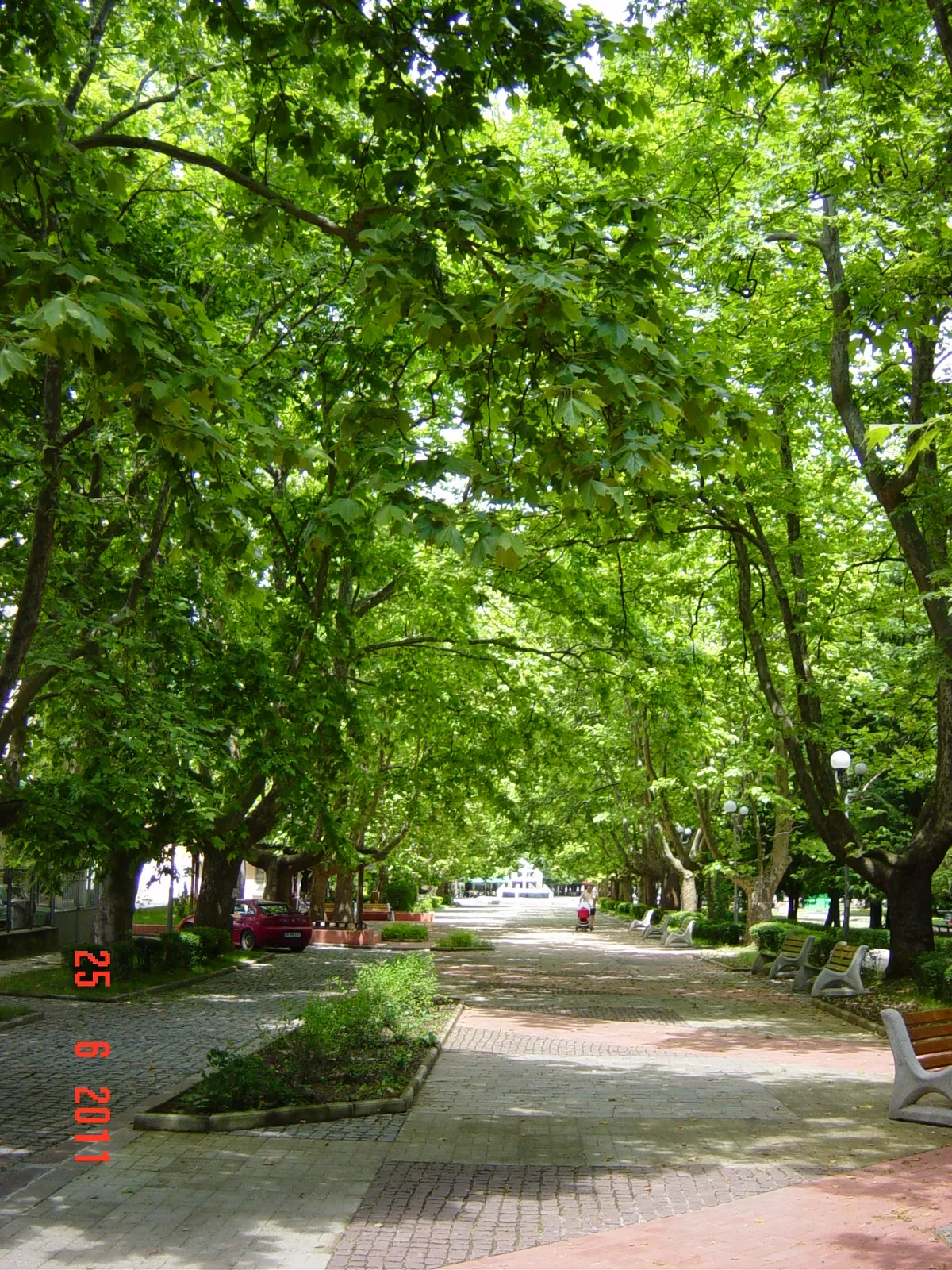
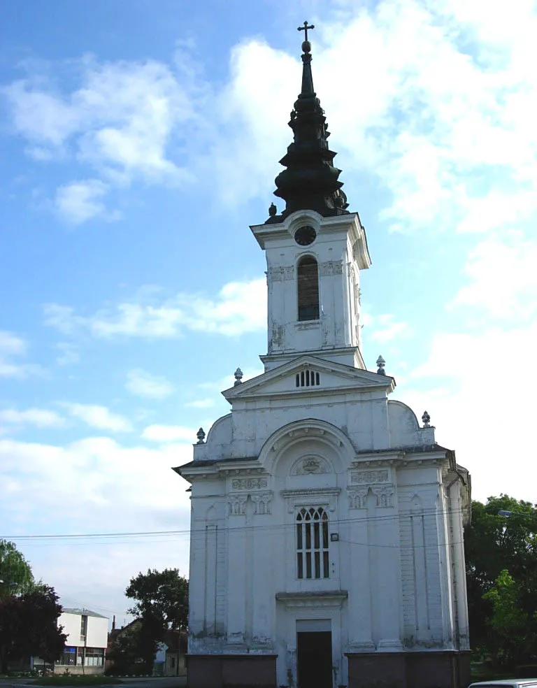
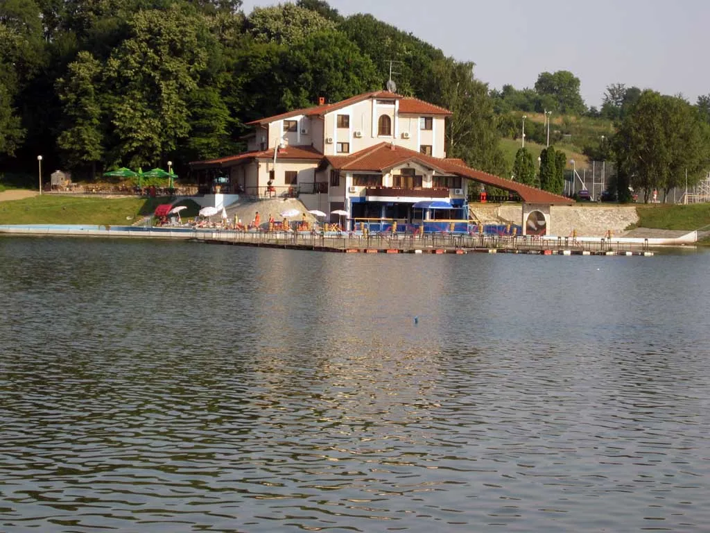
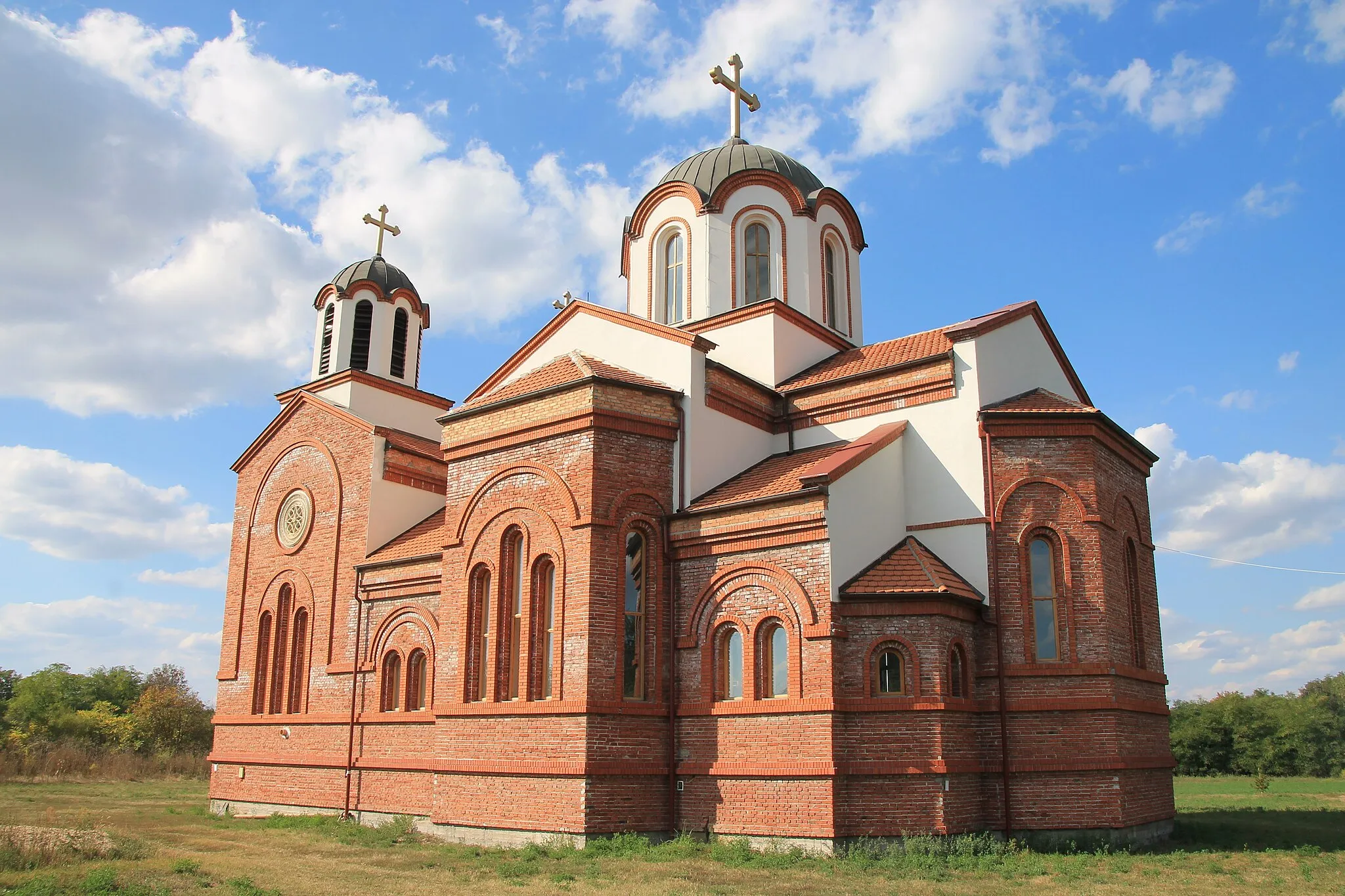
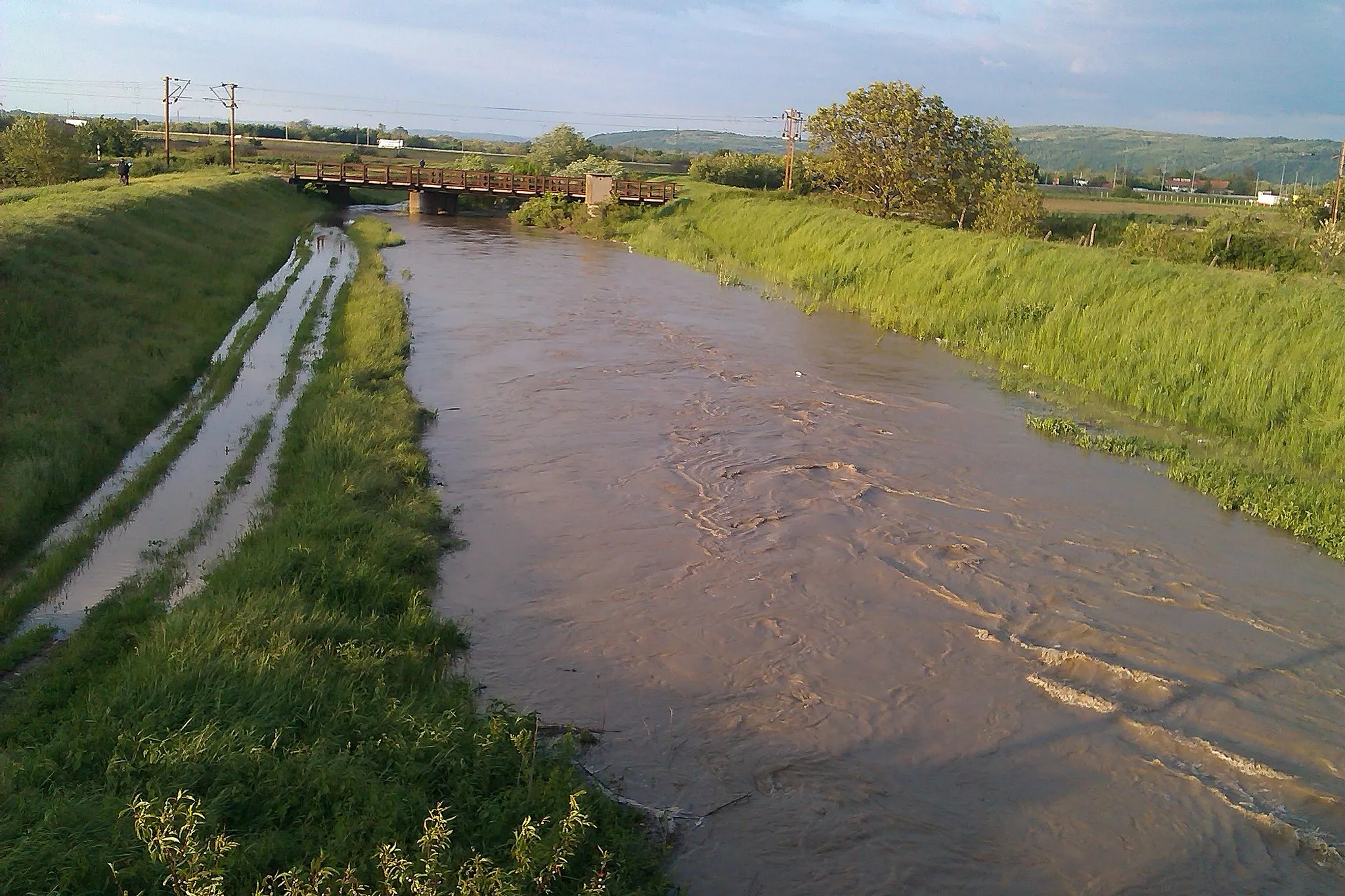
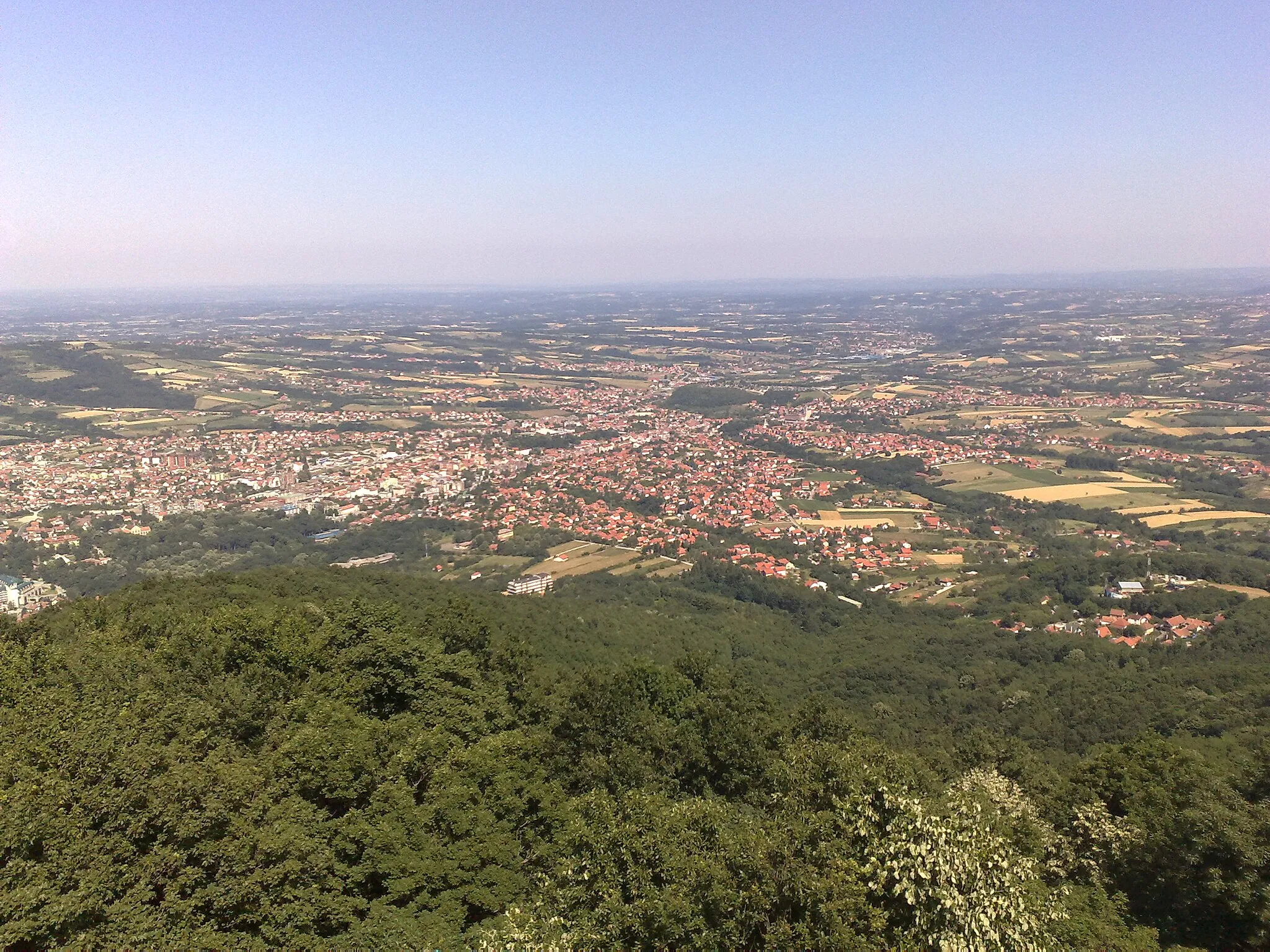
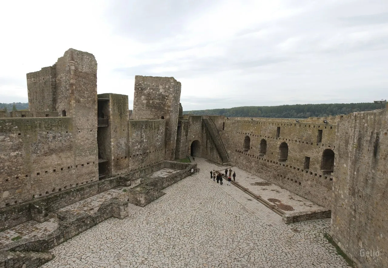
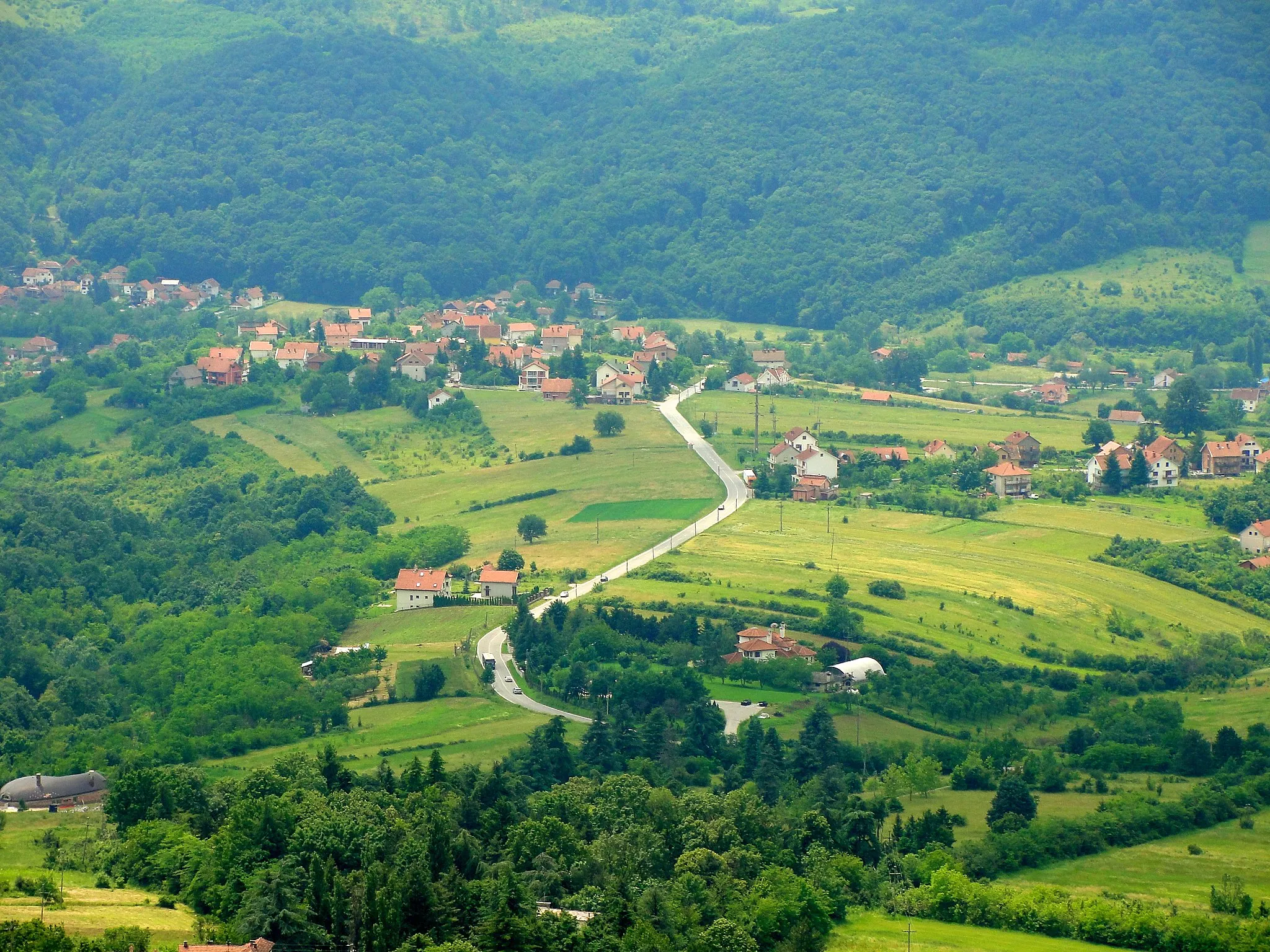
Smederevska Palanka, located in the Region Južne i Istočne Srbije of Serbia, offers diverse cycling opportunities for both road and gravel cyclists. The town is situated on the banks of the Danube River, providing scenic routes along the riverfront and options to explore the surrounding countryside. Smederevska Palanka is home to cycling clubs, like CK Vršac, that organize group rides and events for cyclists of all skill levels. Additionally, the town is renowned for its medieval fortress, Smederevo Fortress, which attracts history enthusiasts. Cyclists visiting Smederevska Palanka can enjoy a blend of outdoor exploration and cultural immersion.
Embark on a memorable journey through Pavlovac, Donja Satornja, Опленац, and Smederevska Palanka
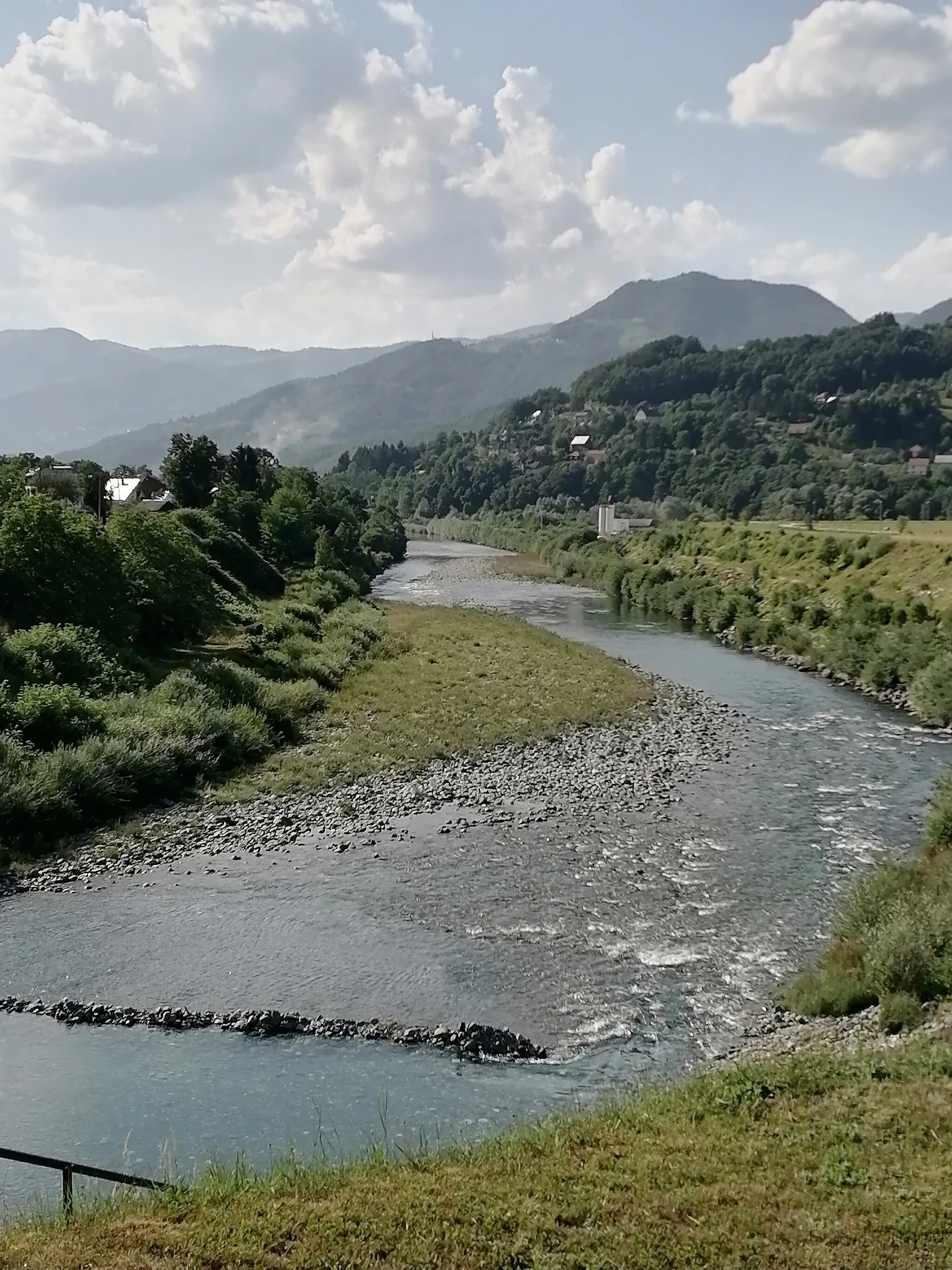
Escape the beaten path and embrace the untouched beauty of rural landscapes with this road cycling route. Suitable for well-trained amateurs, the route covers 100 kilometers with an ascent of 794 meters. Discover hidden gems, witness traditional village life, and immerse yourself in the tranquil ambiance of serbian countryside. As you pedal along backroads and winding paths, you'll experience the genuine spirit of Eastern Serbia.
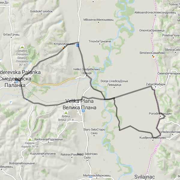
From Smederevska Palanka through Krnjevo, Veliko Orašje, and Velika Plana
Embark on the Krnjevo Loop, a scenic road cycling route starting near Smederevska Palanka. This 67-kilometer route takes you through the picturesque countryside, passing by the charming villages of Krnjevo, Veliko Orašje, and Velika Plana. With a moderate ascent of 264 meters, the route offers a good workout for well-trained amateurs. Discover the beauty of the Serbian landscape as you cycle through rolling hills, farmlands, and vineyards. With highlights such as the historic town of Velika Plana, where you can explore its cultural landmarks and taste delicious local cuisine, this route is a must for cycling enthusiasts seeking a refreshing outdoor adventure.
The Mihajlovac Challenge
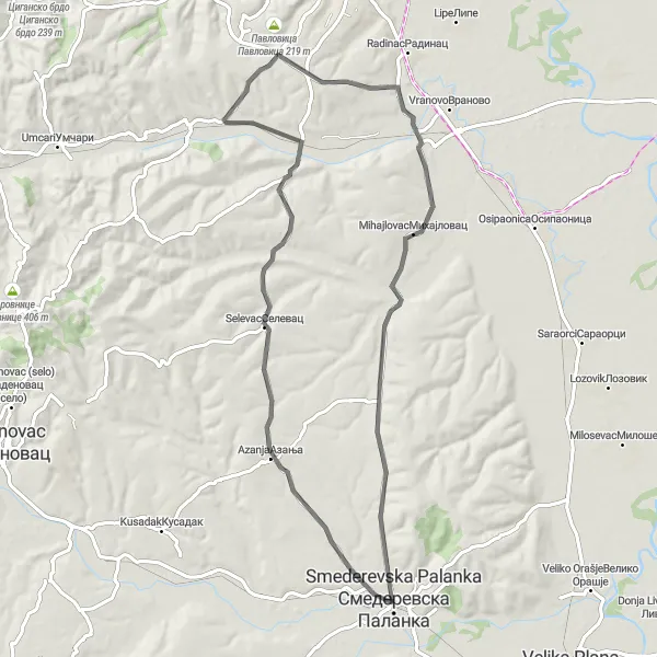
Through Selevac, Petrijevo, Mihajlovac, and Smederevska Palanka
Embark on the Mihajlovac Challenge, a thrilling road cycling route that takes you on a journey from Smederevska Palanka through Selevac, Petrijevo, Mihajlovac, and back. Covering a distance of 74 kilometers with an elevation gain of 503 meters, this route offers a mix of challenging climbs, stunning vistas, and historic landmarks. Highlights along the way include the picturesque village of Selevac, famous for its tranquility and natural beauty, the village of Petrijevo with its idyllic countryside setting, and the charming town of Mihajlovac, known for its cultural heritage and warm hospitality. With its moderate difficulty level and diverse scenery, this route is perfect for experienced cyclists seeking an exhilarating adventure in the Serbian countryside.
The Palanka Connection
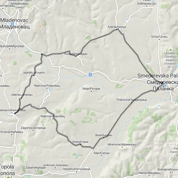
A scenic route featuring the highlights of Јelenač, Kusadak, and Smederevska Palanka
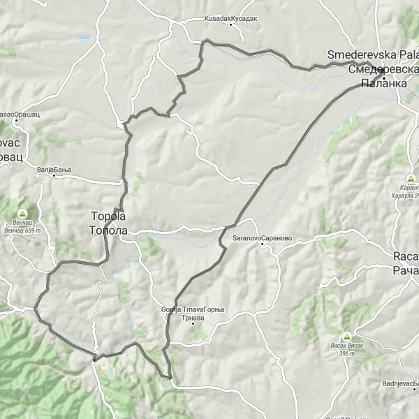
The Palanka Connection is a picturesque cycling route that showcases the beauty of the Južne i Istočne Srbije region in Serbia. Starting near Smederevska Palanka, the route takes cyclists through charming villages, rolling hills, and stunning landscapes. With a moderate difficulty level, it is suitable for well-trained amateur cyclists looking for an enjoyable challenge. The route covers a distance of 64 kilometers and includes 391 meters of ascent. Whether you're a nature lover or history enthusiast, the Palanka Connection offers a diverse mix of attractions and breathtaking views.
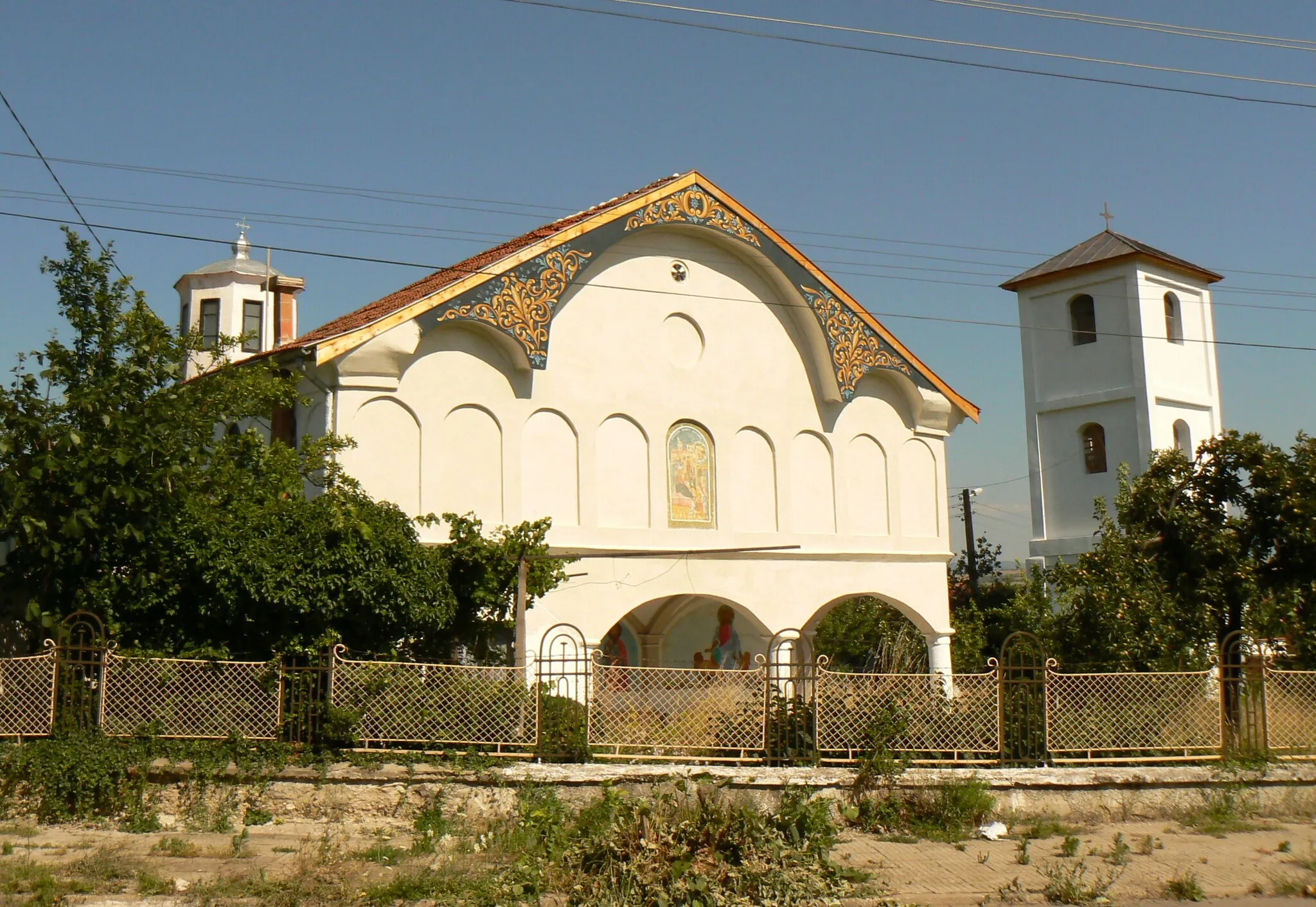
Immerse yourself in history and culture with stops at Oplenac, Topola, Пресека, Markovac, Kusadak, and Smederevska Palanka
Embark on a cultural expedition along this road cycling route that traverses some of Serbia's most significant historical and cultural locations. With an ascent of 983 meters and covering 102 kilometers, the route offers a moderate to challenging experience for well-trained amateurs. Explore enchanting towns, visit impressive landmarks, and learn about the rich heritage of the region as you pedal through picturesque landscapes.
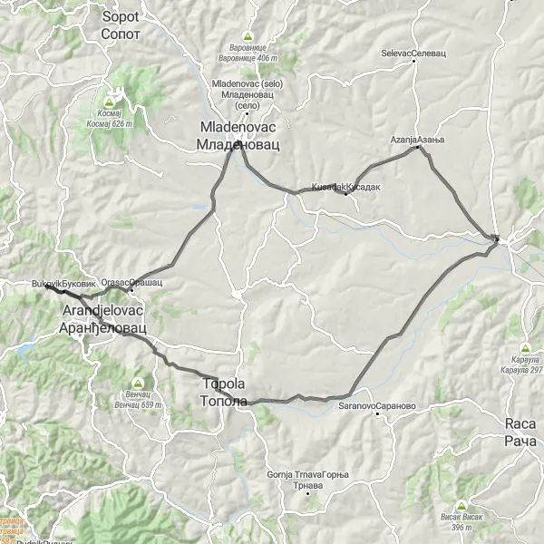
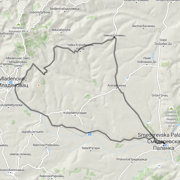
The Glibovac Circuit
Through Glibovac, Mladenovac, and Smederevska Palanka
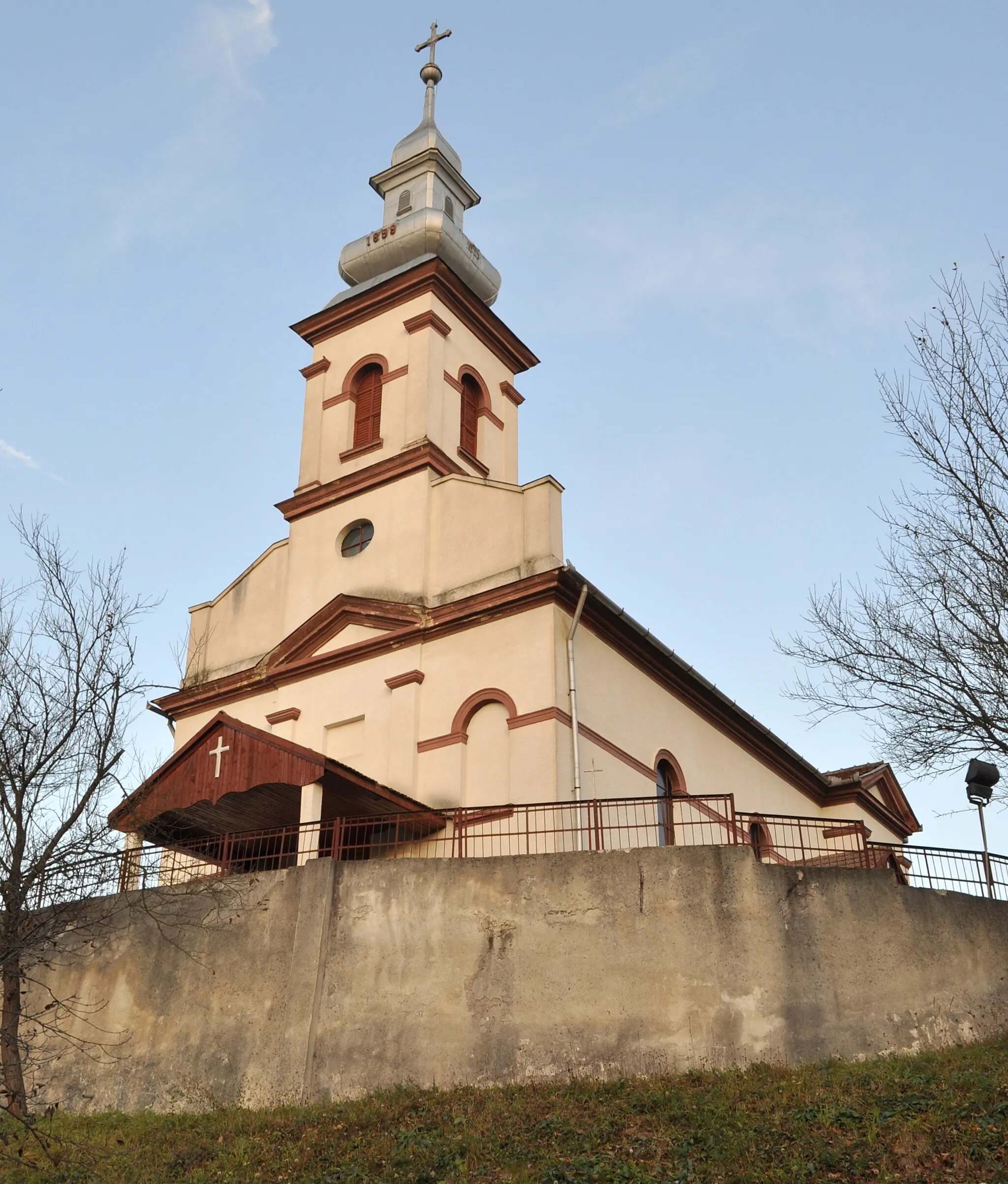
Experience the Glibovac Circuit, a road cycling route that starts near Smederevska Palanka. Covering a distance of 66 kilometers with an elevation gain of 506 meters, this route is more challenging but rewarded with breathtaking scenery. Pedal through diverse landscapes, including foothills, forests, and quaint villages. Highlights of the route include the picturesque village of Glibovac, known for its natural beauty, the town of Mladenovac with its historic attractions, and the charming town of Smederevska Palanka. Cyclists can explore the local culture, taste traditional cuisine, and immerse themselves in the natural wonders of this region. This route is best suited for cyclists seeking a moderately difficult and scenic adventure.
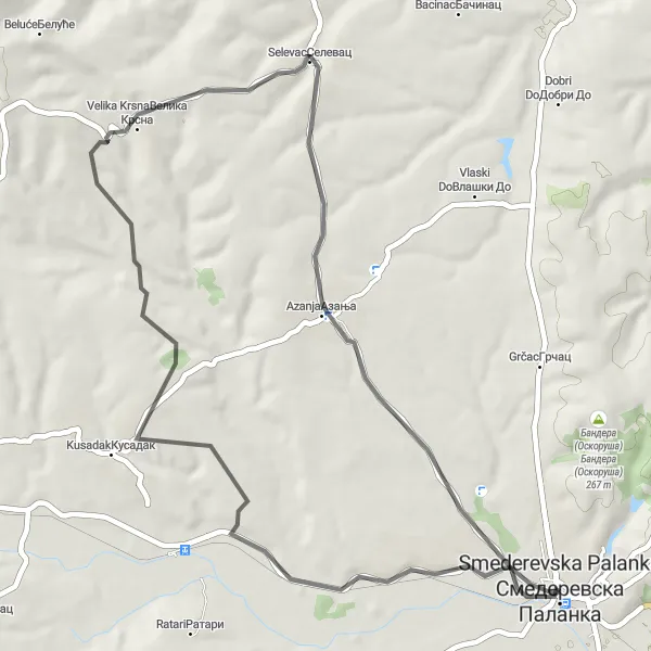
Smederevska Palanka to Glibovac, Kusadak, Selevac, and back
Embark on the Selevac Loop, a picturesque road cycling route starting from Smederevska Palanka. Covering a distance of 50 kilometers with an ascent of 466 meters, this route offers a mix of gentle rolling hills, charming villages, and scenic countryside. Highlights along the way include the village of Glibovac, famous for its serene natural landscapes, the historic town of Kusadak with its cultural heritage, and the quaint village of Selevac, known for its traditional architecture and warm hospitality. With its moderate difficulty level, this route is perfect for cyclists looking for a scenic and accessible adventure in the Serbian countryside.
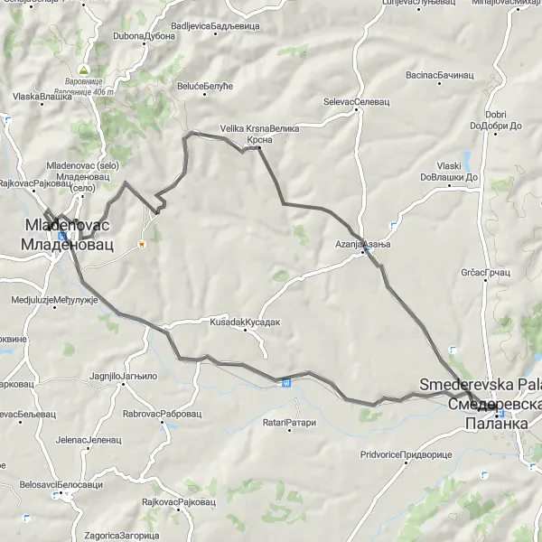
Uncover the secrets of Azanja as you cycle through Mladenovac, Selevac, and Smederevska Palanka
This road cycling route takes you on a journey through some of Serbia's lesser-known but equally intriguing locations. With a distance of 65 kilometers and an ascent of 521 meters, the route offers a moderate challenge suitable for well-trained amateurs. Discover the hidden charms of Azanja, soak in the beauty of the rolling hills, and explore the rich cultural heritage of Eastern Serbia.
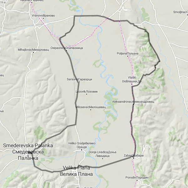
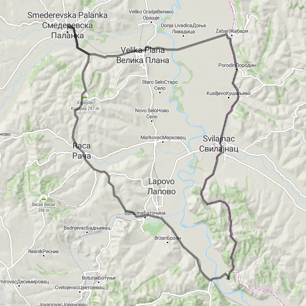
A scenic route from Smederevska Palanka through Krnjevo, Osipaonica, Toponica, Aleksandrovac, Zabari, and Velika Plana
Embark on an epic road cycling adventure from Smederevska Palanka through Krnjevo, Osipaonica, Toponica, Aleksandrovac, Zabari, and Velika Plana. Stretching across 104 kilometers with an ascent of 502 meters, this route offers a variety of scenic landscapes and cultural sights. Pedal through picturesque villages, rolling hills, and along tranquil rivers, experiencing the beauty of the Serbian countryside. Highlights of the route include the charming village of Krnjevo, the idyllic town of Toponica surrounded by lush greenery, the historic town of Zabari with its old-world charm, and the cultural delights of Velika Plana. Discover hidden gems, immerse yourself in local culture, and enjoy the breathtaking vistas that this route has to offer.
An exciting road cycling route through Velika Plana, Glozane, Vojska, Batocina, and Караула
Embark on a thrilling cycling journey through the intriguing landscapes of Eastern Serbia. This road cycling route offers a challenging adventure for well-trained amateurs seeking to test their endurance. Spanning 108 kilometers with an ascent of 643 meters, the route provides both physical and visual stimulation. From charming towns to breathtaking natural wonders, Eastern Serbia has something for every cyclist, making it a truly memorable experience.
Cycling routes nearby:


Nearby regions: