Scenic rides and cultural charm in Pocerski Pričinović.
Cycling routes from Pocerski Pricinovic
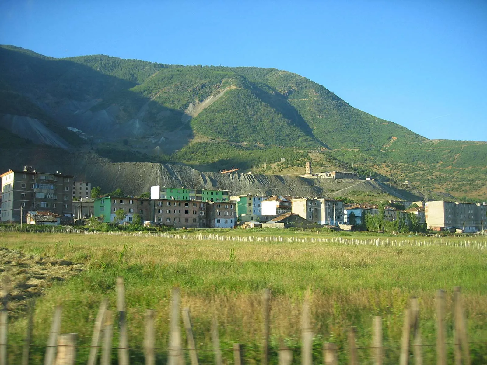
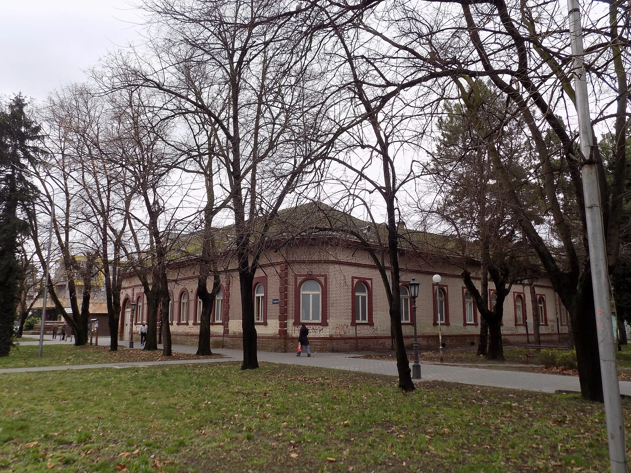
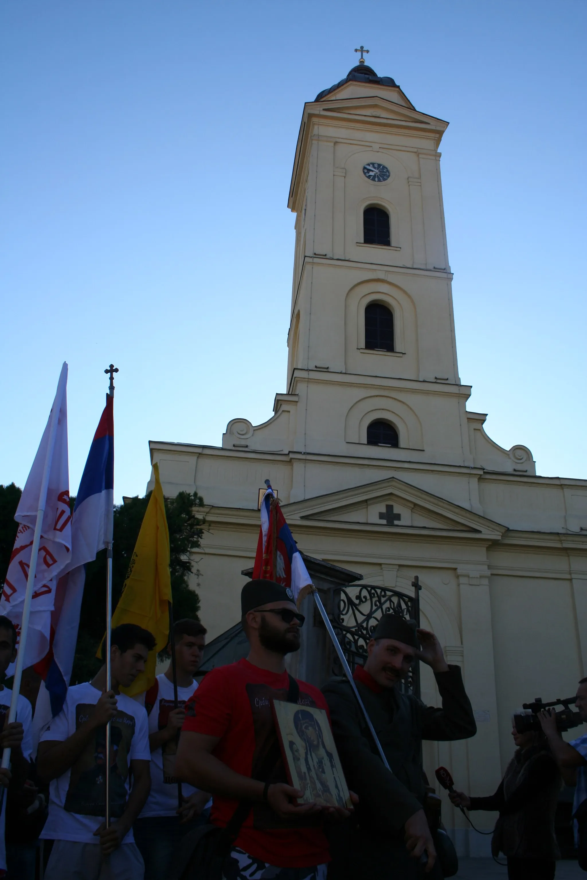
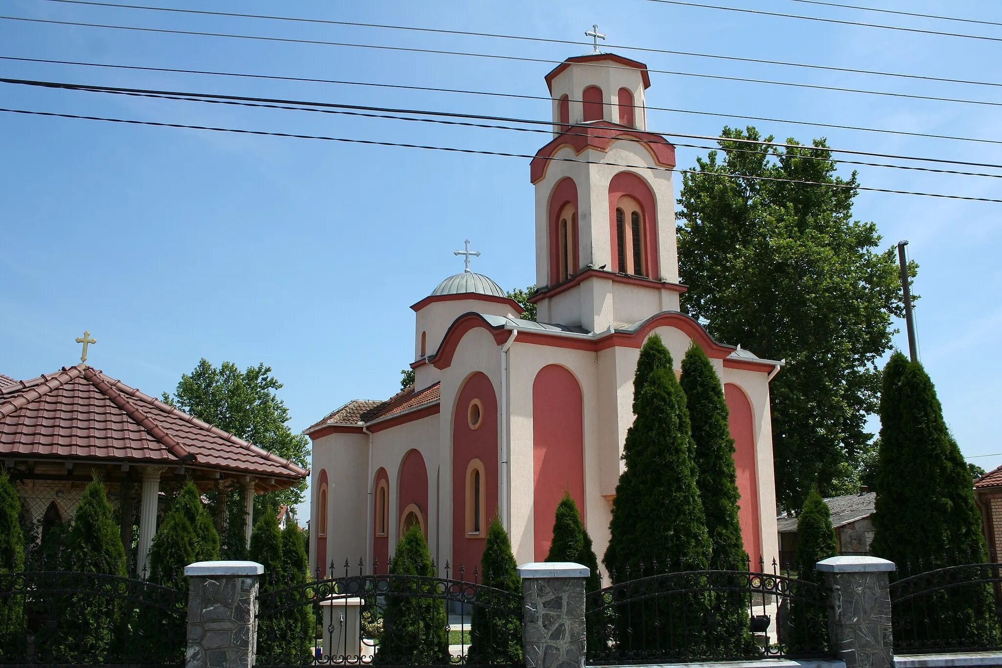
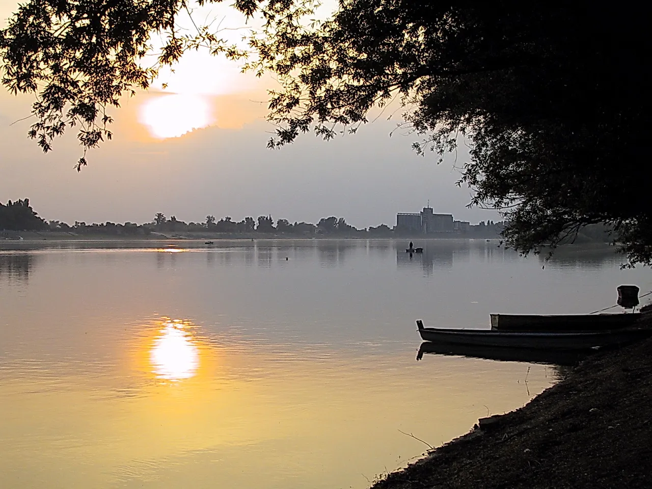
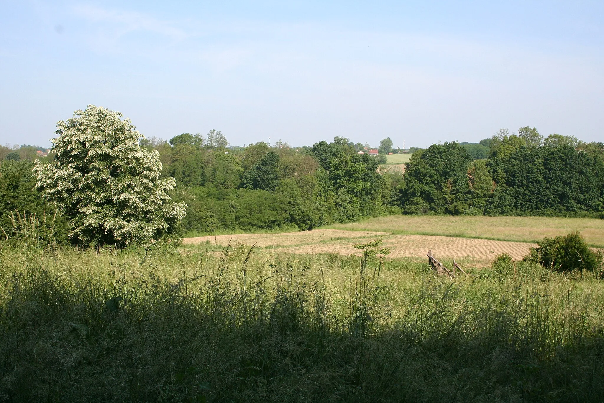
Pocerski Pričinović, located in the region Šumadije i Zapadne Srbije, Serbia, is a charming locality offering unique experiences for road and gravel cyclists. The area boasts scenic roads that meander through scenic landscapes and pass through quaint villages. Cyclists can enjoy a mix of terrains, including flat stretches and gentle inclines, making it suitable for all skill levels. While Pocerski Pričinović may not have any famous cycling-related spots or well-known climbs nearby, it compensates with its peaceful atmosphere and picturesque surroundings. Cyclists can also look forward to exploring the region's cultural and historical attractions. Pocerski Pričinović is a cyclist-friendly locality that provides ample opportunities for enjoyable rides.
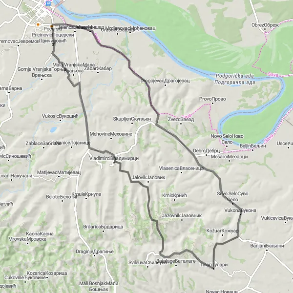
Embark on an epic road trip from Pocerski Pricinovic to Kasarske livade
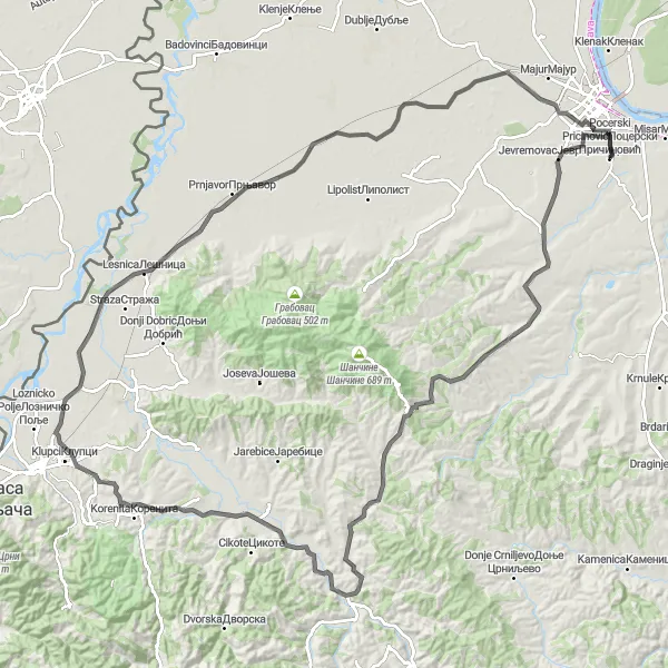
Get ready for an unforgettable road trip from Pocerski Pricinovic to Kasarske livade. This route covers a distance of 129 kilometers and involves an elevation gain of 680 meters, making it suitable for experienced cyclists. Experience the thrill of conquering challenging climbs and be rewarded with breathtaking views of the surrounding landscapes. The difficulty rating for this road route is 4 out of 5, ideal for well-trained cyclists seeking a more challenging adventure. Prepare to be amazed by the natural beauty and cultural highlights along the way.
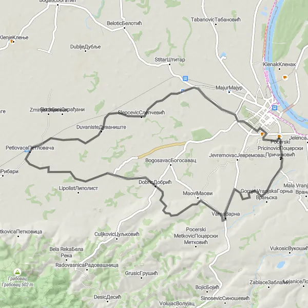
Pocerski Pricinovic Loop
An exhilarating road cycling route with stunning scenery in the Šumadije i Zapadne Srbije region of Serbia
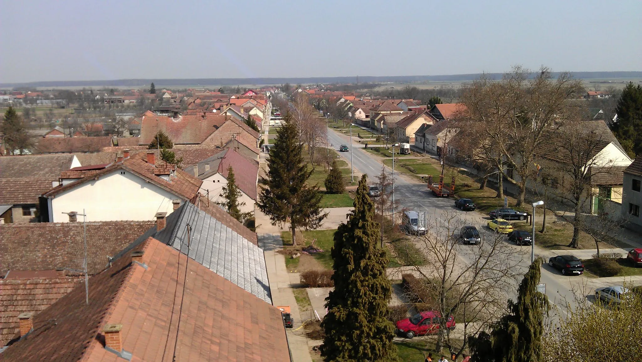
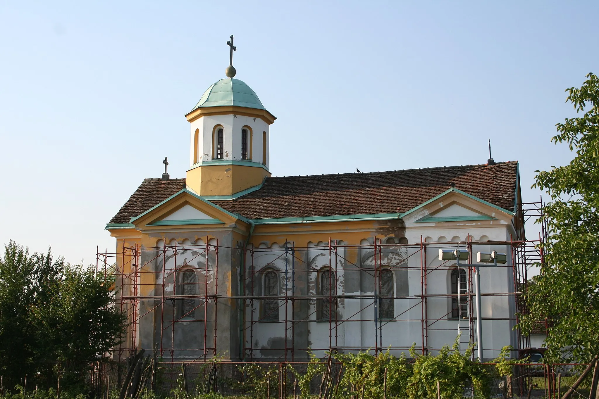
The Pocerski Pricinovic Loop is a captivating road cycling route that takes you through the picturesque Šumadije i Zapadne Srbije region of Serbia. With a distance of 62 km and an ascent of 441 m, this route is moderately challenging, making it suitable for well-trained amateur cyclists. The highlights along the route include Pocerski Pricinovic, a charming village where you can admire traditional Serbian architecture, Trbusac, a historic village known for its timber industry, and Cerovac, where you can take a break and enjoy the serene natural surroundings. Overall, this loop offers a delightful combination of cultural and scenic experiences.
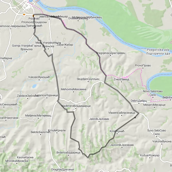
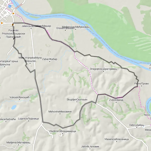
Go on a thrilling climbing challenge from Pocerski Pricinovic to Vladimirci
Embark on a thrilling climbing challenge from Pocerski Pricinovic to Vladimirci. This route spans a distance of 75 kilometers and involves an elevation gain of 622 meters, making it suitable for experienced cyclists. Be prepared to conquer steep ascents and push your limits to reach the top. The difficulty rating for this road route is 4 out of 5, ideal for cyclists seeking a true test of endurance. Experience the thrill of conquering challenging climbs and enjoy panoramic views of the countryside along the way.
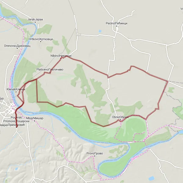
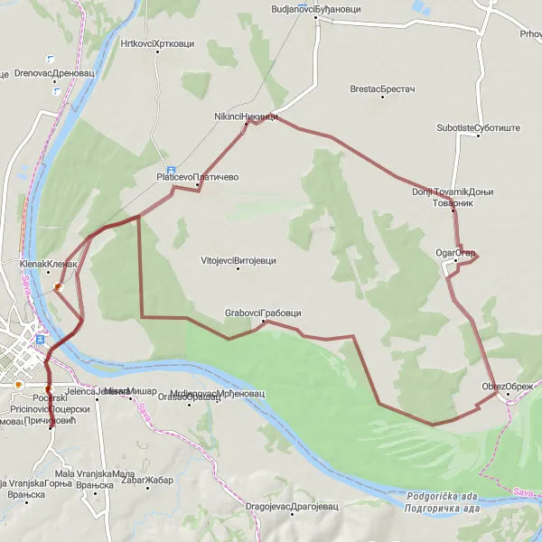
A thrilling gravel route through remote countryside
Embark on an 80km off-road cycling adventure starting near Pocerski Pricinovic. This route offers a thrilling ride across rugged terrain and through peaceful countryside. Highlights of this gravel route include Nikinci, a village known for its unspoiled beauty, and Ogar, a secluded village surrounded by serene landscapes. Cyclists looking for an off-the-beaten-path experience will find this route satisfyingly challenging and rewarding.
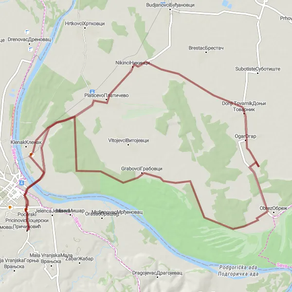
Embark on an adventurous gravel route with scenic landscapes
For gravel enthusiasts seeking the path less traveled, this 99km route starting near Pocerski Pricinovic is filled with rugged terrain and breathtaking landscapes. Highlights of this route include Nikinci, known for its natural beauty, and Asanja, a small village nestled amidst picturesque vistas. The route offers a moderate challenge and is perfect for those looking to explore serene gravel roads.
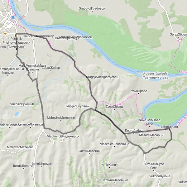
Discover the hidden gems of Miokus and Zvezd on a scenic road route
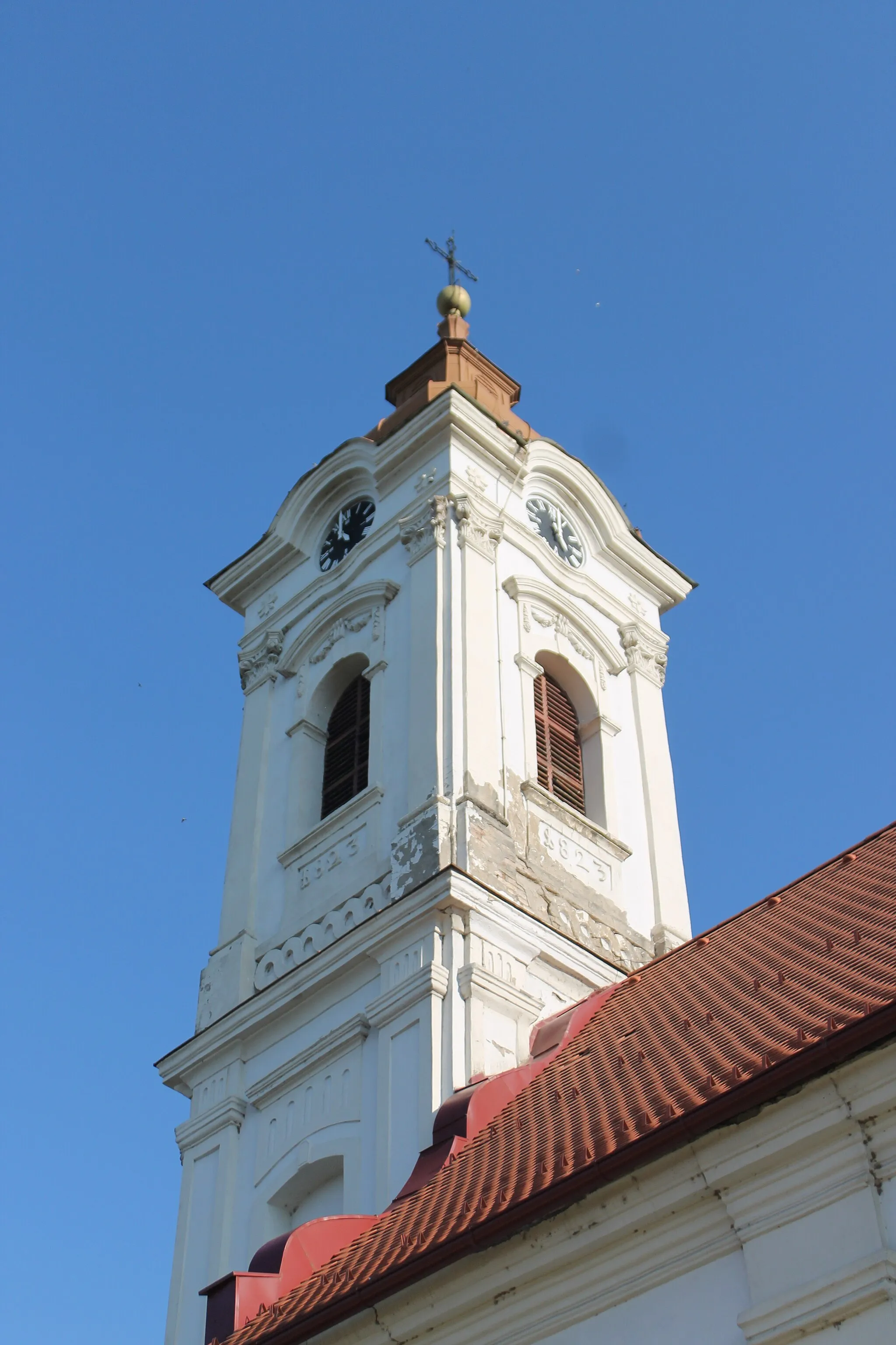
Uncover the hidden gems of Miokus and Zvezd on a picturesque road route. Covering a distance of 51 kilometers and with an elevation gain of 306 meters, this route is suitable for intermediate cyclists. Immerse yourself in the serene beauty of the countryside and explore charming villages along the way. The difficulty rating for this road route is 2 out of 5, perfect for cyclists looking for a moderately challenging adventure. Enjoy the scenic landscapes and cultural highlights that Miokus and Zvezd have to offer.
A scenic road route with a mix of flat stretches and challenging climbs
This 66km road route starting near Pocerski Pricinovic takes you through picturesque villages and offers breathtaking views. The route includes both flat sections and challenging climbs, making it suitable for well-trained amateur cyclists. Highlights of the route include Orid, a charming village surrounded by natural beauty, and Bobovik, known for its historical landmarks. Cycling enthusiasts will enjoy the combination of serene landscapes and invigorating challenges along this route.
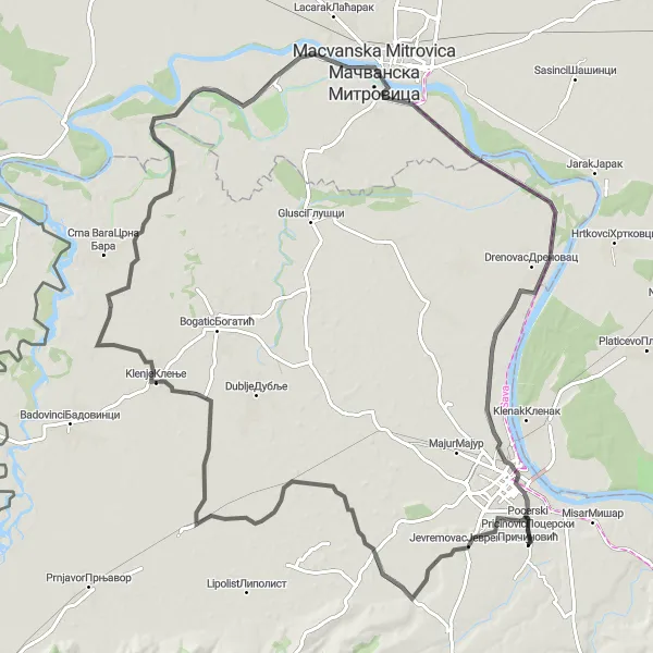
Discover the scenic route from Pocerski Pricinovic to Šabac
Experience a picturesque cycling route from Pocerski Pricinovic to Šabac, covering a distance of 113 kilometers and with an elevation gain of 95 meters. This road route takes you through charming villages, beautiful countryside, and offers stunning views along the way. The route is suitable for well-trained amateurs with a difficulty rating of 3 out of 5. Get ready for a memorable cycling adventure filled with cultural highlights and natural beauty.
Embark on a thrilling gravel adventure starting from Pocerski Pricinovic
Experience the thrill of off-road cycling with the Pocerski Pricinovic Gravel Adventure. This route covers a distance of 80 kilometers and involves an elevation gain of 61 meters. Enjoy the scenic beauty of the countryside and explore lesser-known villages along the way. The difficulty rating for this gravel route is 2 out of 5, suitable for amateur cyclists with some off-road experience. Get ready to conquer challenging terrain and immerse yourself in the natural beauty of the region.
Embark on an epic road cycling adventure from Varna to Kasarske Livade through stunning landscapes in Serbia
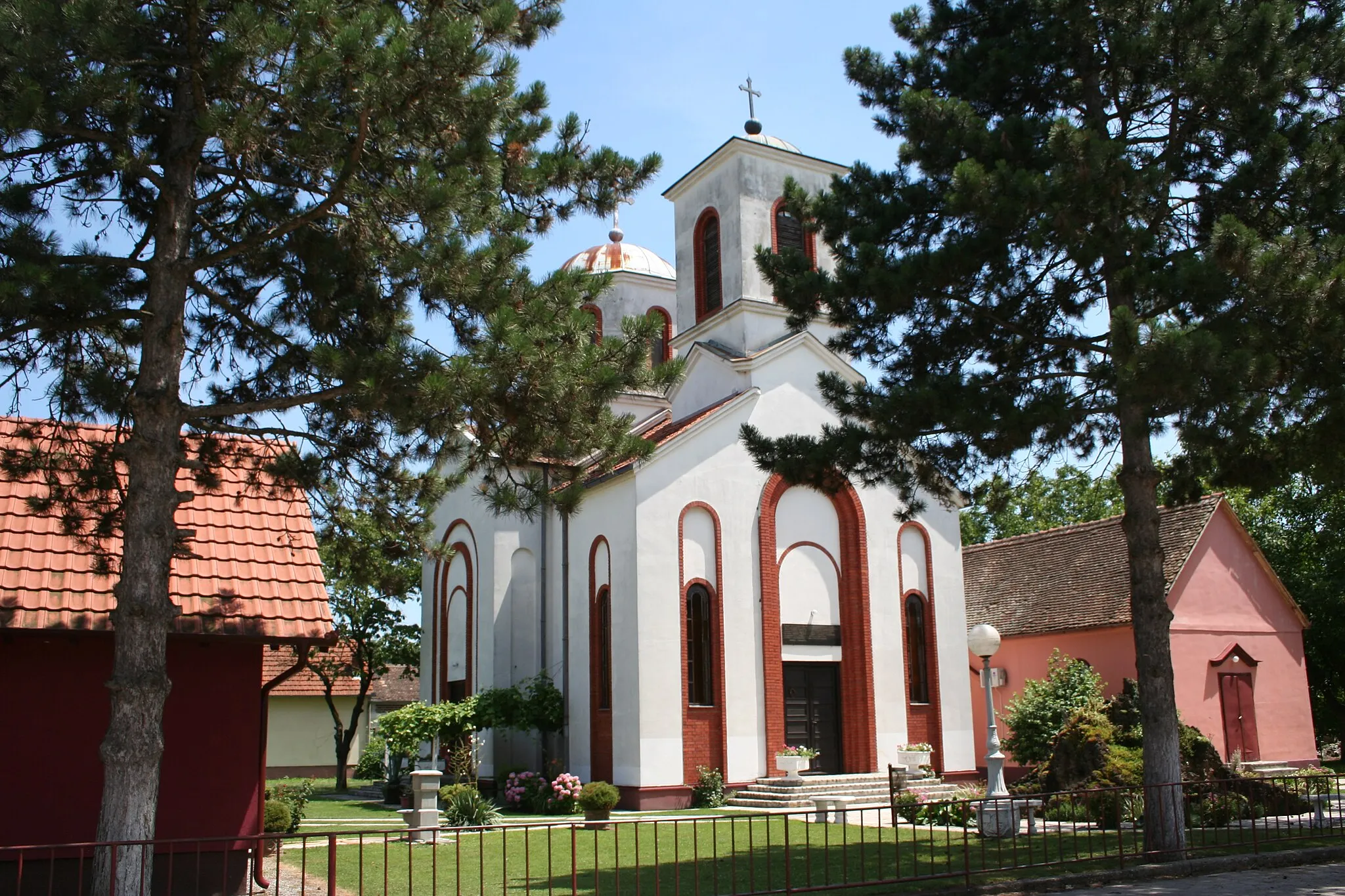
The Varna to Kasarske Livade Cycling Adventure is a captivating road cycling route that takes you through scenic landscapes in Serbia. With a distance of 59 km and an ascent of 107 m, this route provides a moderate cycling challenge, suitable for well-trained amateur cyclists. The highlights along the route include Pocerski Pricinovic, a charming village where you can explore traditional Serbian architecture, Varna, a small settlement with picturesque views, and Petlovaca, a serene village known for its peaceful atmosphere. Additionally, make sure to visit Kasarske Livade, famous for its lush meadows and idyllic surroundings. Overall, this cycling adventure offers a perfect blend of natural beauty and rural charm, making it a must-do for cycling enthusiasts.
Cycling routes nearby:

Nearby regions: