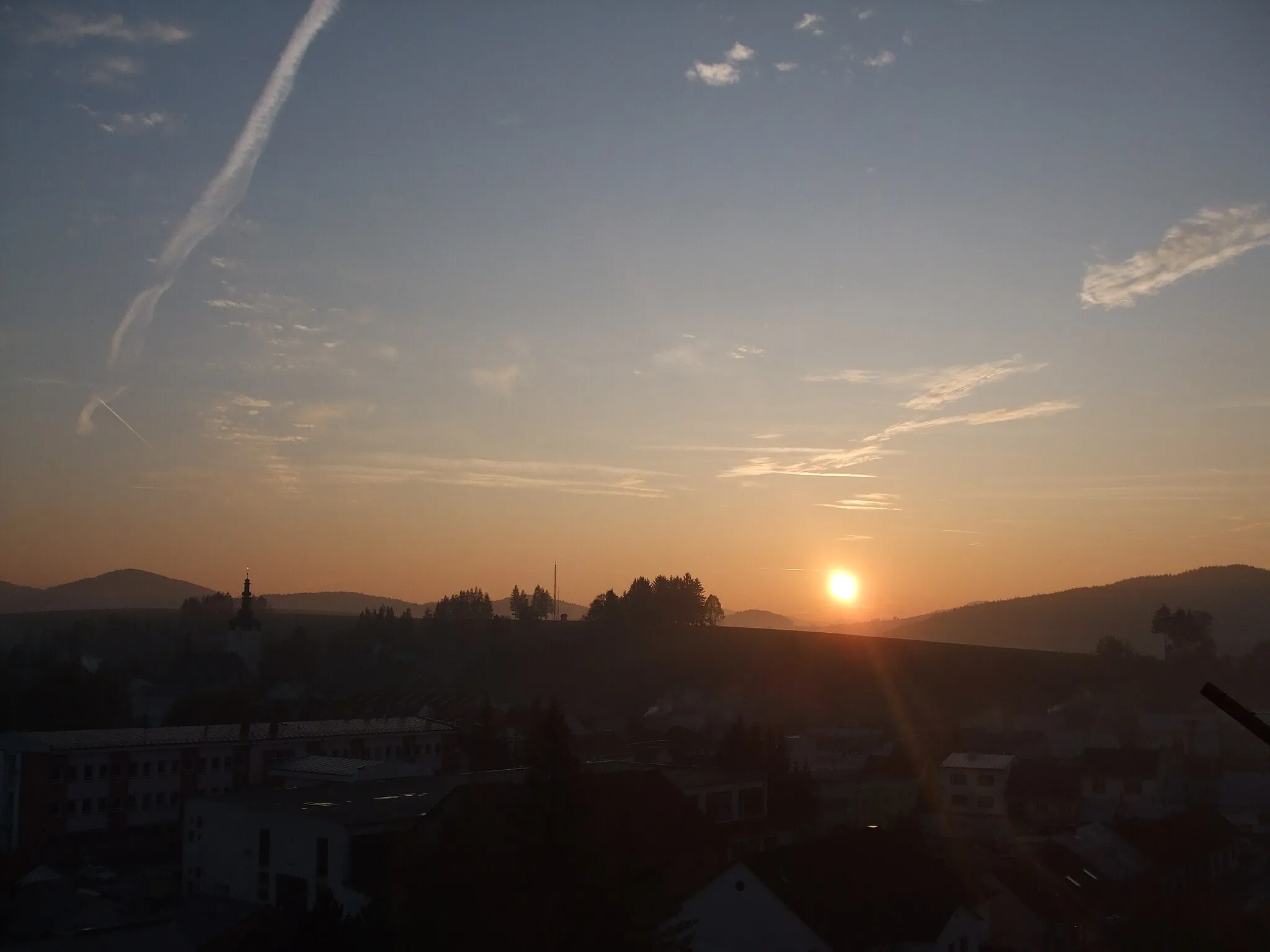
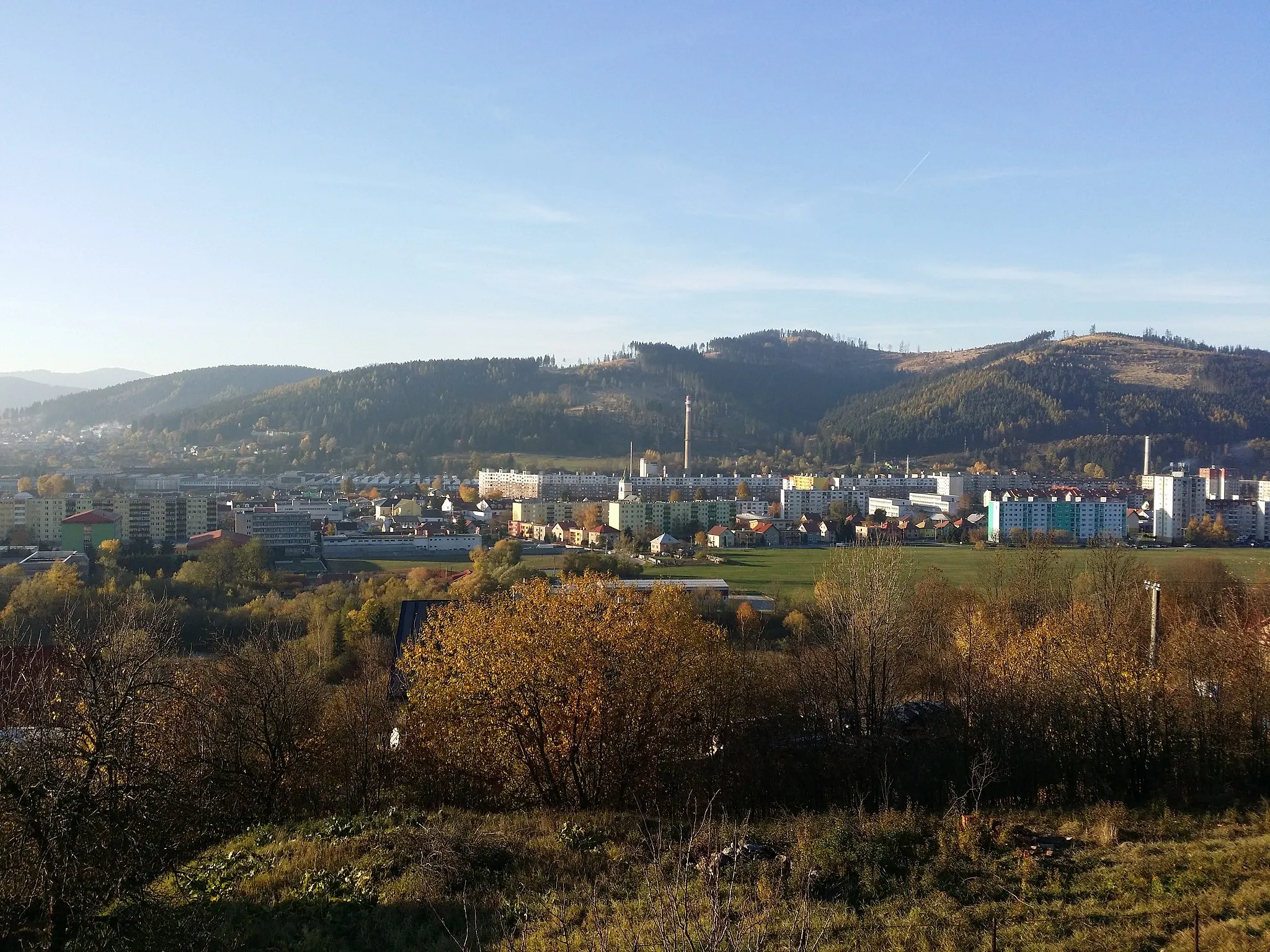
Enjoy scenic rides through charming countryside in Bytča.
Cycling routes from Bytca
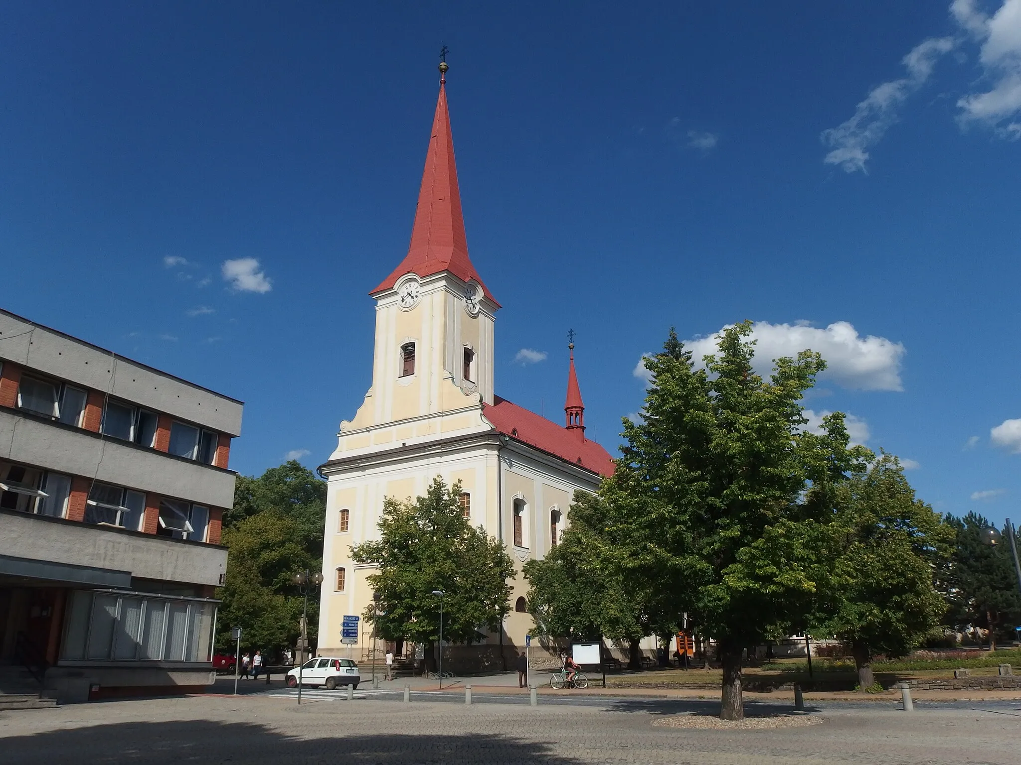
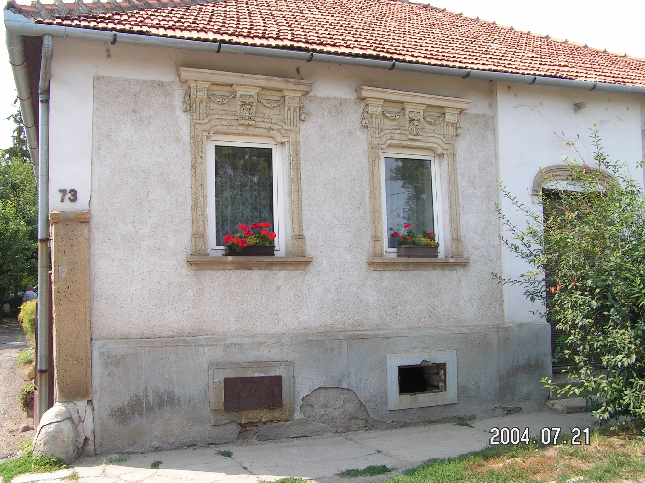
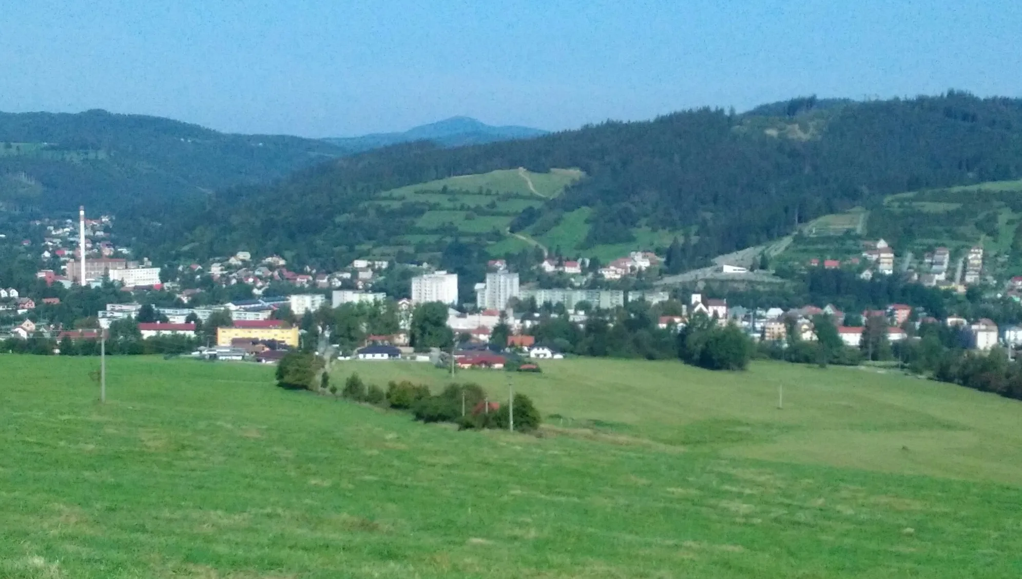
Bytča is a town located in the central part of Slovakia, offering a moderate cycling experience. The roads in Bytča are suitable for road cycling, with relatively flat to hilly terrain. While there are no specific famous cycling-related spots in the immediate vicinity, the area offers beautiful countryside views and pleasant riding conditions. Bytča serves as a good starting point for exploring the surrounding regions, which are known for their scenic nature. Cyclists can enjoy peaceful rides through charming villages and picturesque landscapes.
Kysucká gravel exploration
Discover the scenic gravel tracks of Kysucká landscape
This 40 km gravel route takes you through the scenic and diverse Kysucká landscape in Stredné Slovensko, Slovakia. With a total ascent of 1130 m, it offers a challenging and adventurous ride for gravel enthusiasts. Explore the remote and less-traveled gravel tracks surrounded by beautiful nature and enjoy the tranquility of the countryside.
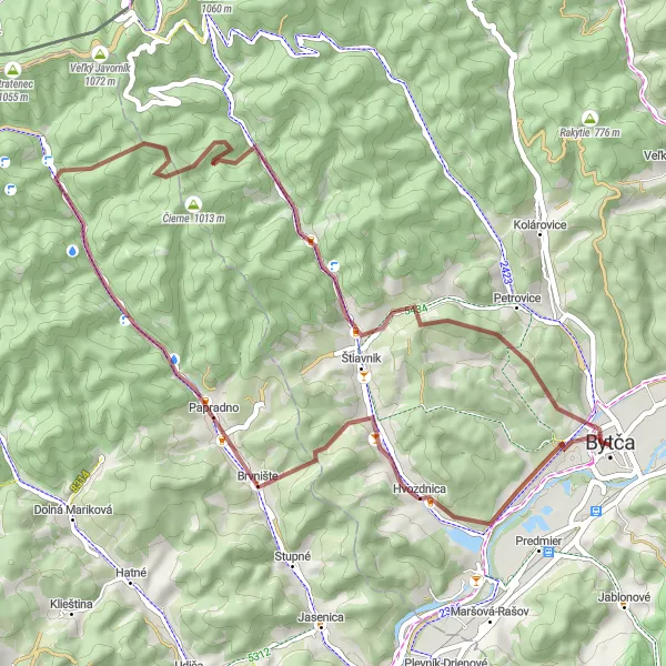
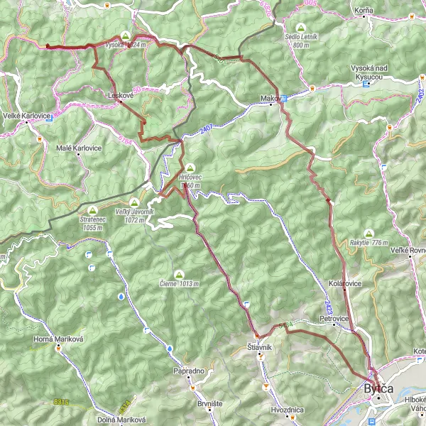
Embark on a thrilling mountain escapade starting near Bytča, exploring challenging terrain and breathtaking vistas.
This gravel cycling route starting near Bytča offers a thrilling mountain escapade, with challenging terrain and breathtaking vistas. With a total ascent of 1294 meters and a distance of 49 kilometers, it is suitable for experienced cyclists. The route highlights include Bučník, a rugged hill with panoramic views. Brvnište, a small village with picturesque surroundings, Jaseňové, a remote mountain hamlet, and Žliabok, a stunning peak with commanding views. Overall, this route provides a true mountain adventure in the Stredné Slovensko region of Slovakia.

Ride through the stunning Kysucké and Oravské Beskids mountains
This 90 km road loop takes you through the picturesque landscapes of the Kysucké and Oravské Beskids mountains. The route offers a challenging ride with a total ascent of 1127 m, providing breathtaking views along the way. It is a perfect choice for road cyclists looking for a scenic and challenging ride in Stredné Slovensko, Slovakia.
Castles and Countryside
Immerse yourself in the history and natural beauty of the Stredné Slovensko region on this road cycling route starting near Bytča.
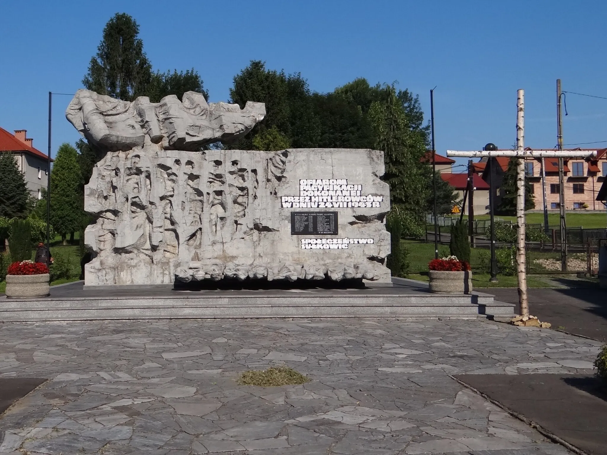
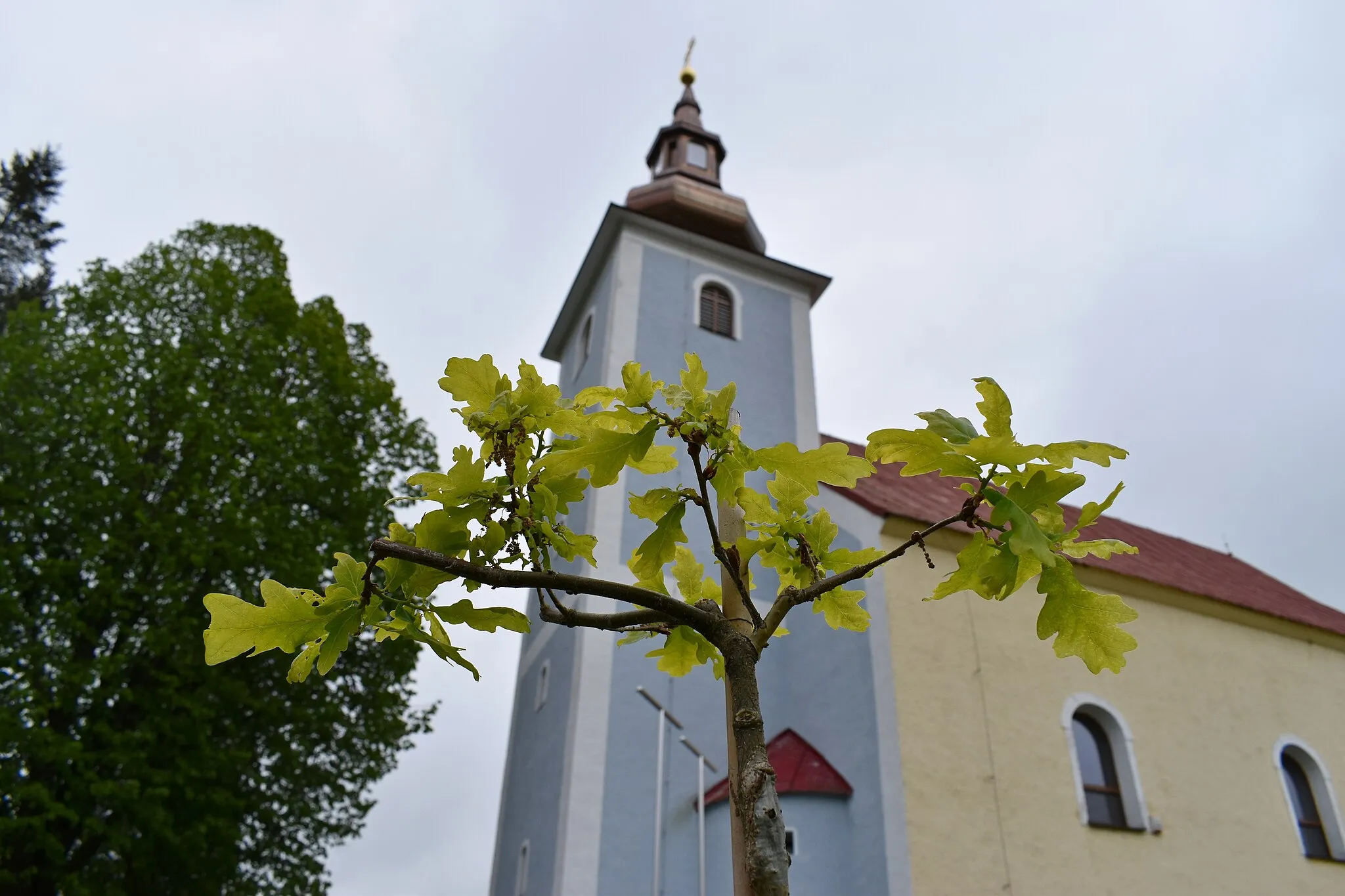
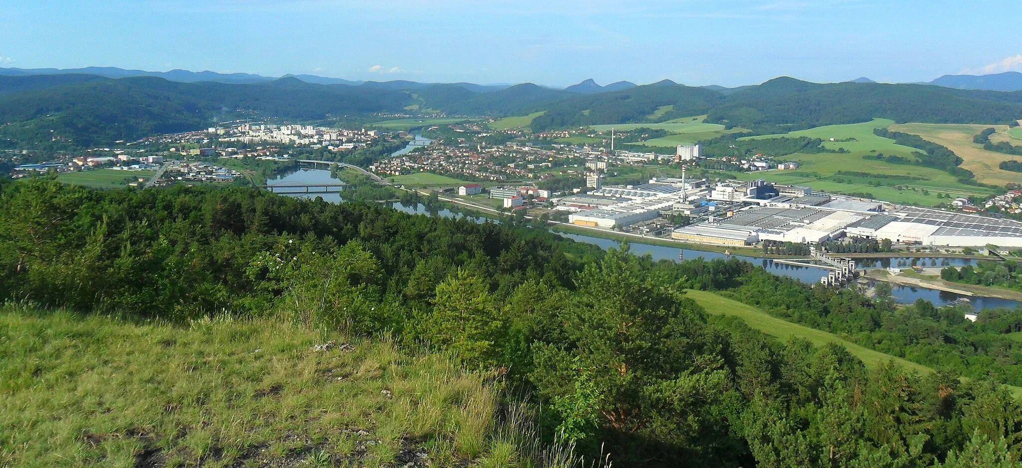
This road cycling route starting near Bytča allows you to immerse yourself in the history and natural beauty of the Stredné Slovensko region. With a total ascent of 1473 meters and a distance of 127 kilometers, it offers a challenging ride. The route highlights include Bytča, known for its medieval castle, Považské Podhradie with its charming old town square, and Nosická priehrada, a picturesque reservoir surrounded by forests. Overall, this route offers a diverse experience combining historical sites, scenic countryside, and a touch of adventure.
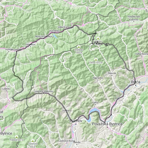
Conquer the tough gravel climbs and enjoy the stunning views
This 78 km gravel route takes you through the challenging Beskids mountains in Stredné Slovensko, Slovakia. With a total ascent of 2163 m, it offers a thrilling adventure for experienced gravel cyclists. Conquer tough climbs, discover hidden trails, and admire the stunning views of the surrounding mountains and valleys.
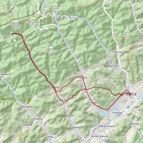
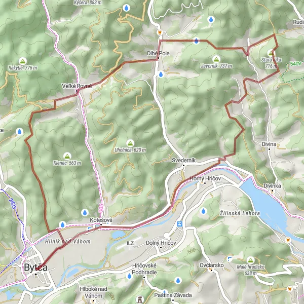
Explore hidden gems and serene landscapes on this gravel cycling route starting near Bytča.
This gravel cycling route starting near Bytča allows you to discover hidden gems and serene landscapes. With a total ascent of 901 meters and a distance of 54 kilometers, it offers a relatively moderate challenge. The route highlights include Dúbravka, a village known for its charming traditional houses. Skálie is a natural rock formation that offers spectacular views, while Brvnište is a small village surrounded by beautiful countryside. Overall, this route provides a peaceful and scenic cycling experience in the Stredné Slovensko region of Slovakia.
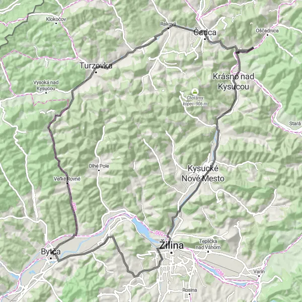
Hills and Villages
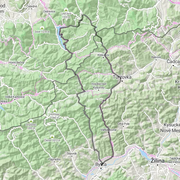
Discover the picturesque villages and rolling hills along this road cycling route starting near Bytča.
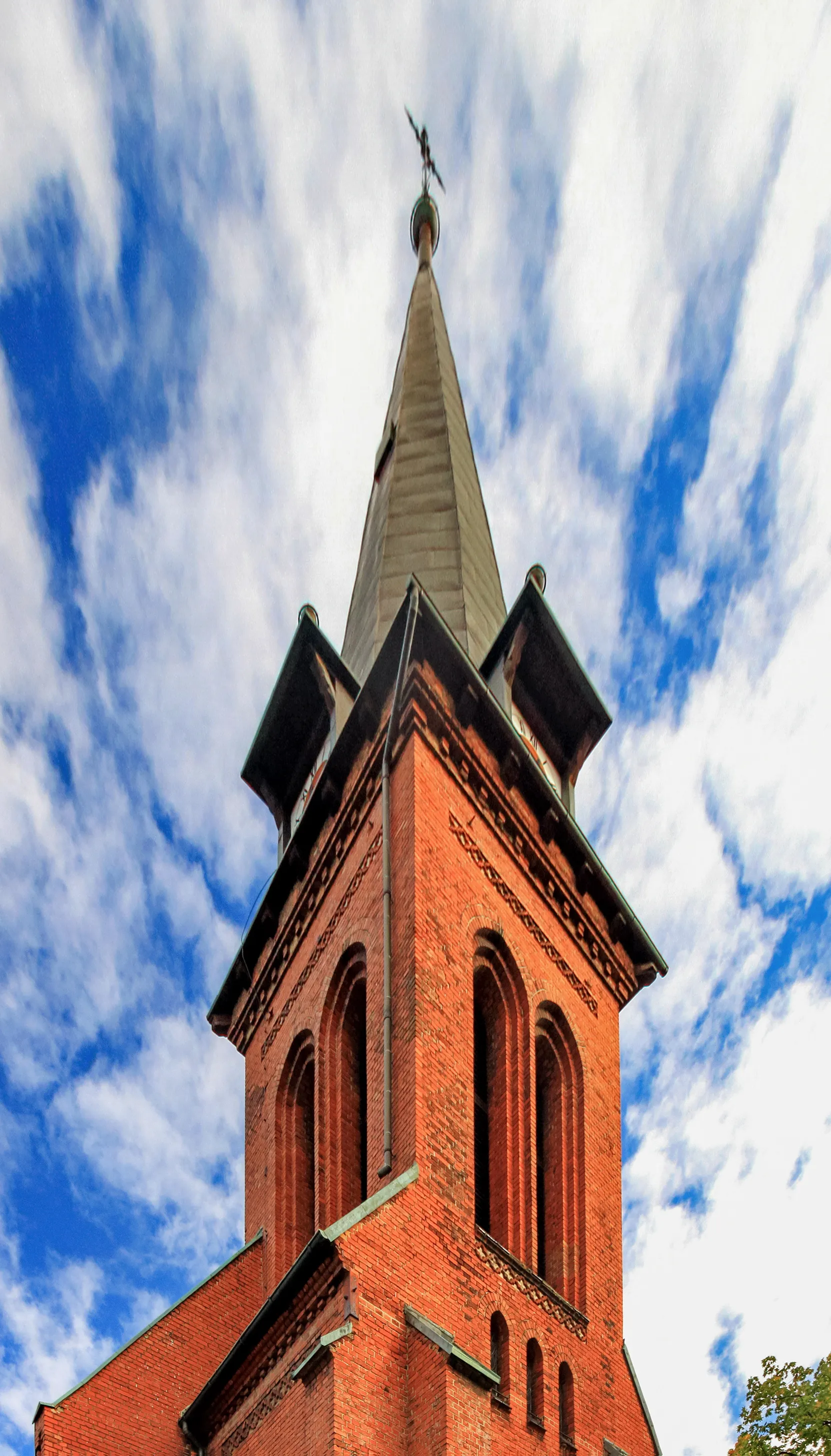
This road cycling route starting near Bytča takes you through picturesque villages and rolling hills. With a total ascent of 1962 meters and a distance of 99 kilometers, it offers a challenging but rewarding ride. The route highlights include Kolárovice, known for its charming wooden houses, Vrchtretina with its beautiful views, and Turzovka, which is famous for its impressive Gothic church. Overall, this route provides a scenic and cultural journey through the Stredné Slovensko region of Slovakia.
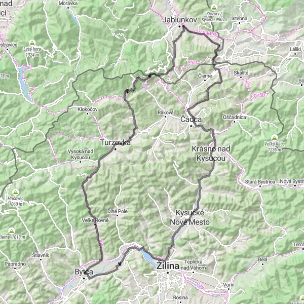
Explore the beautiful countryside and scenic landscapes on this challenging road cycling route.
This road cycling route starting from Velké Rovné takes you through stunning Slovakian countryside and offers breathtaking views of the surrounding landscapes. The route is challenging with a total ascent of 1679 meters spread across a distance of 131 kilometers. It is suitable for experienced cyclists who are looking for a tough and rewarding ride.
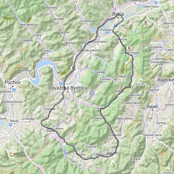
Experience the scenic beauty of Súľovské skaly rock formations
Take on this 70 km road loop starting from Bytča and explore the beautiful Súľovské skaly rock formations. With a total ascent of 719 m, it offers a moderate challenge for road cyclists. Enjoy the stunning landscapes and breathtaking views while riding through picturesque villages and rolling hills in Stredné Slovensko, Slovakia.
Explore the heritage and natural beauty of the region
Embark on this 95 km road loop starting from Bytča and discover the cultural and natural wonders of the region. With a total ascent of 751 m, this route offers a moderate challenge for road cyclists. Admire the historical architecture, picturesque landscapes, and panoramic views of the surrounding mountains while cycling through Stredné Slovensko, Slovakia.
Cycling routes nearby:

Nearby regions: