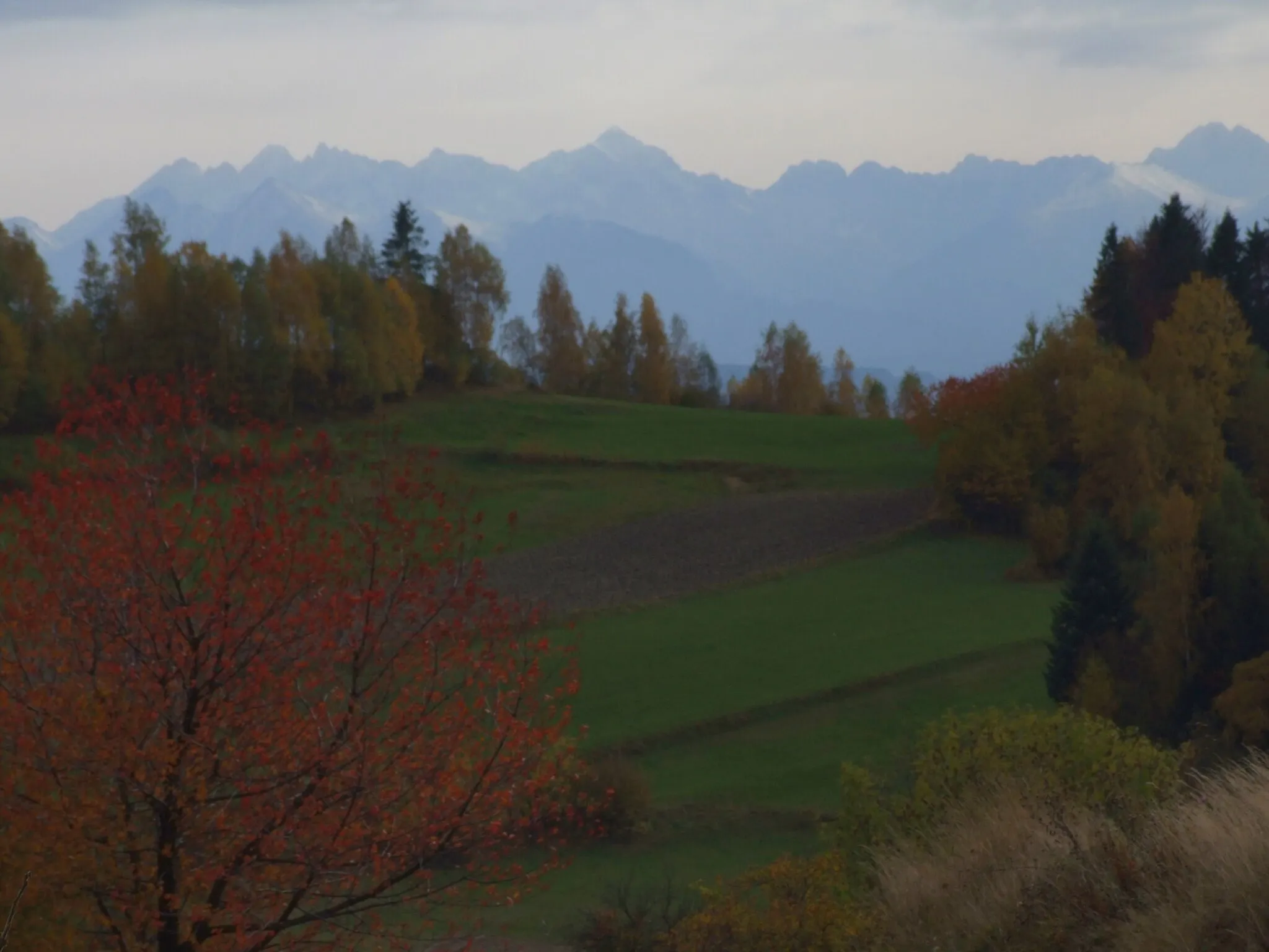
Serene cycling amidst nature's beauty
Cycling routes from Tornala
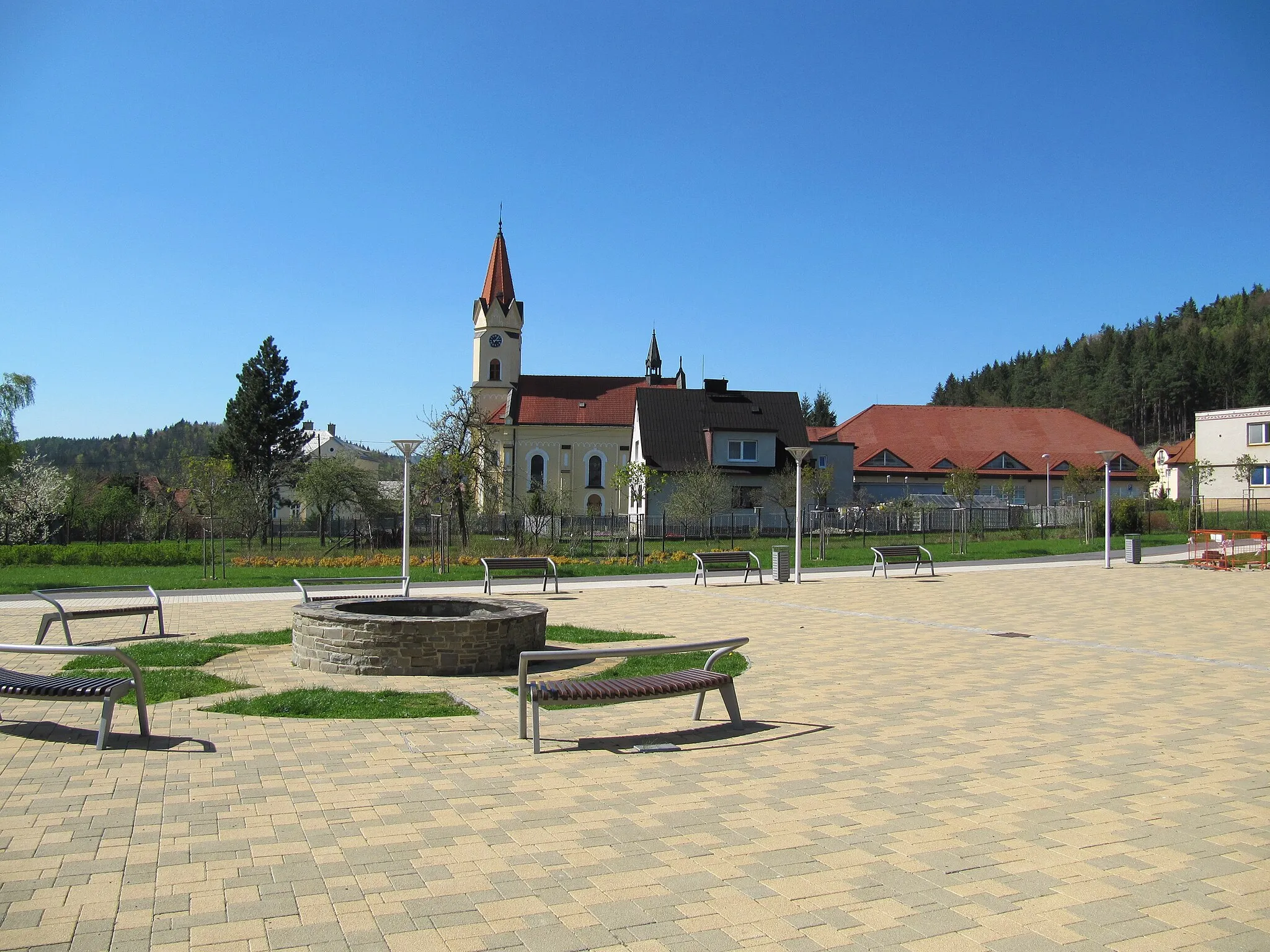
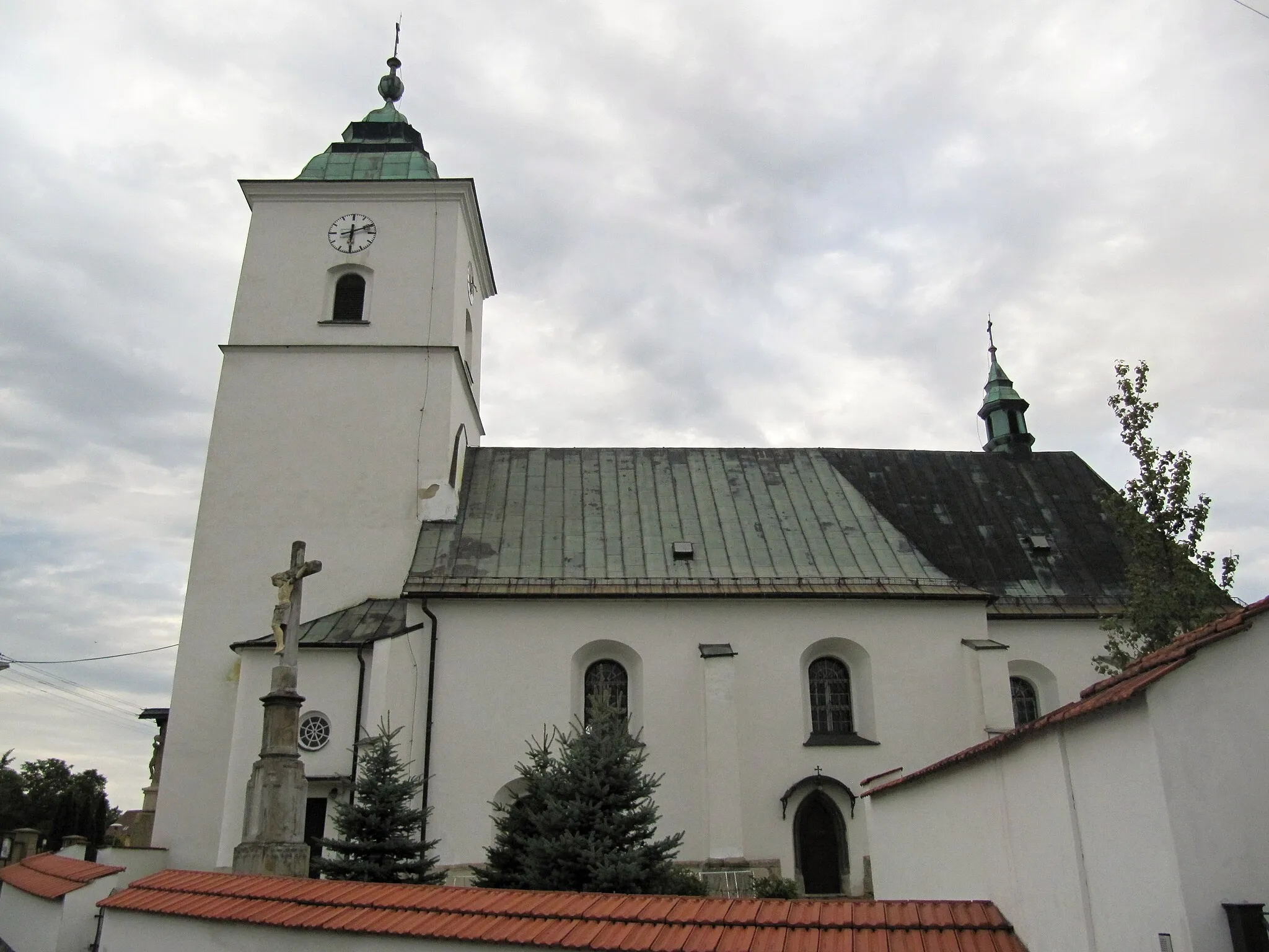
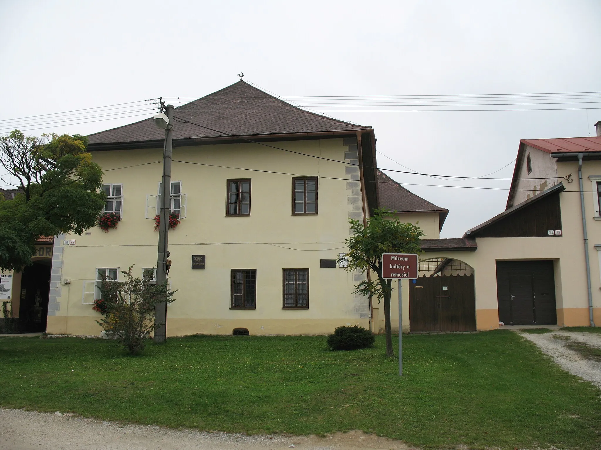
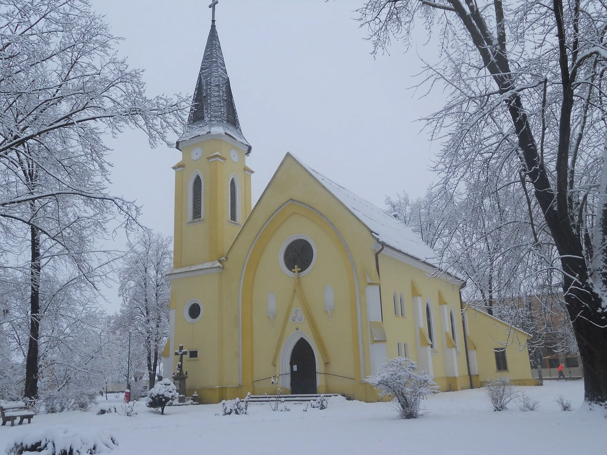
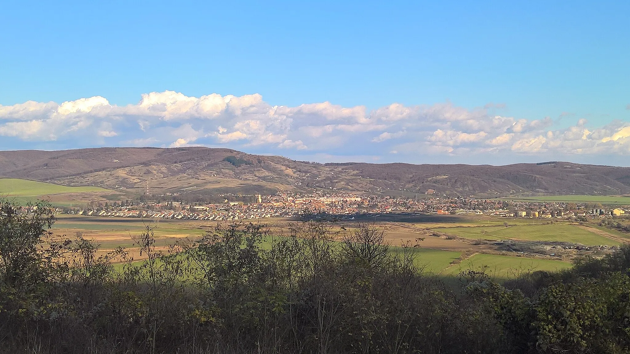
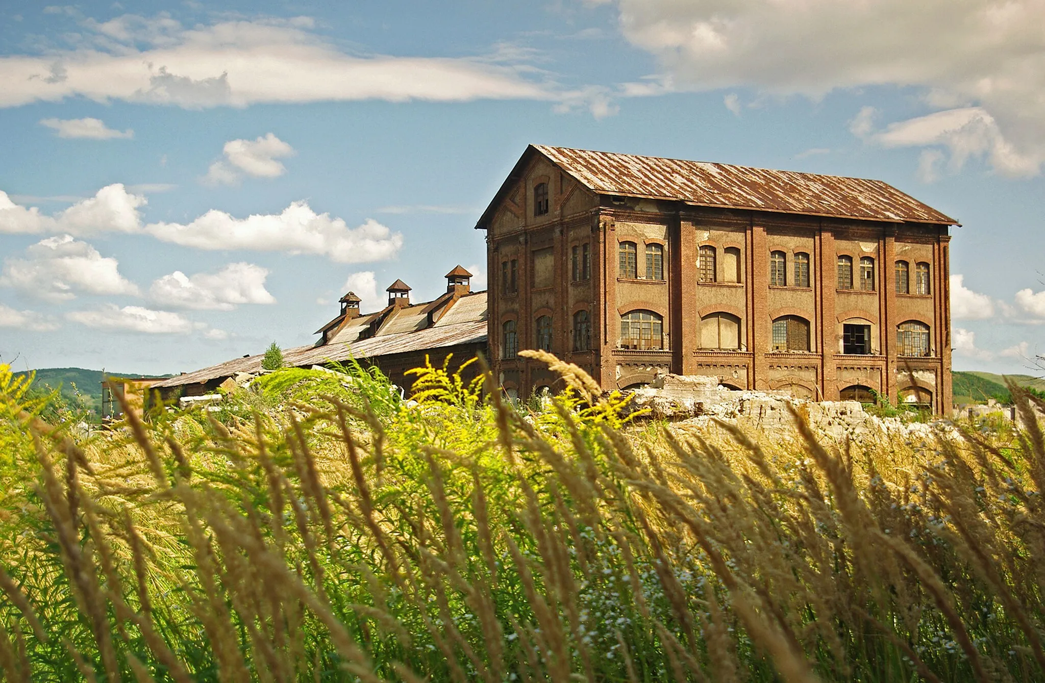
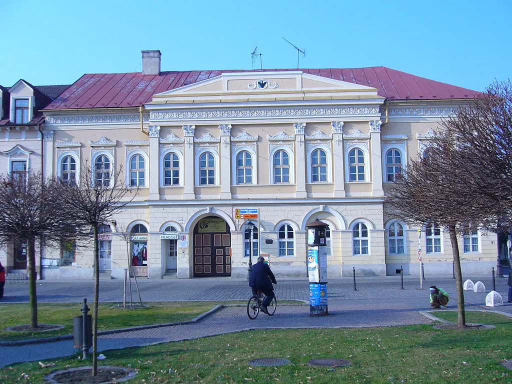
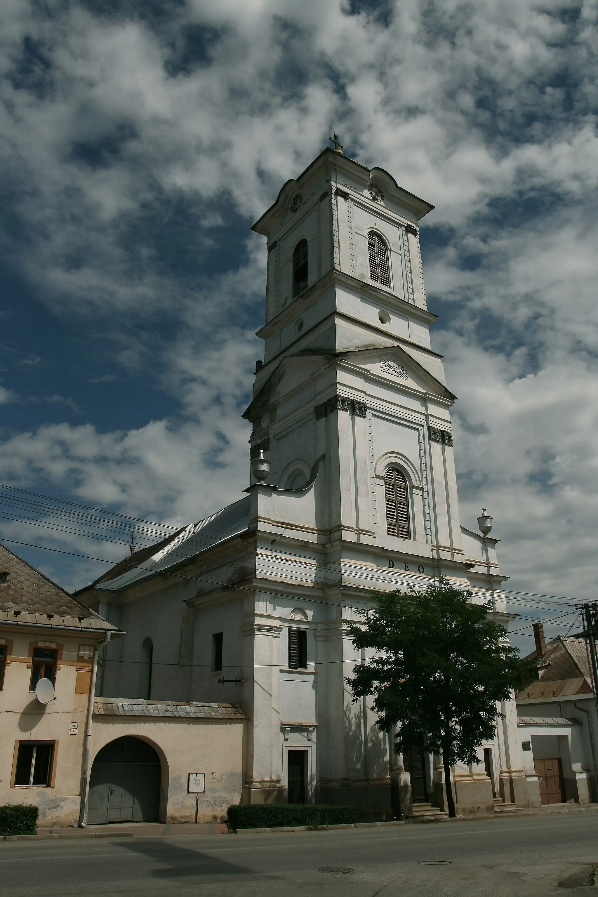
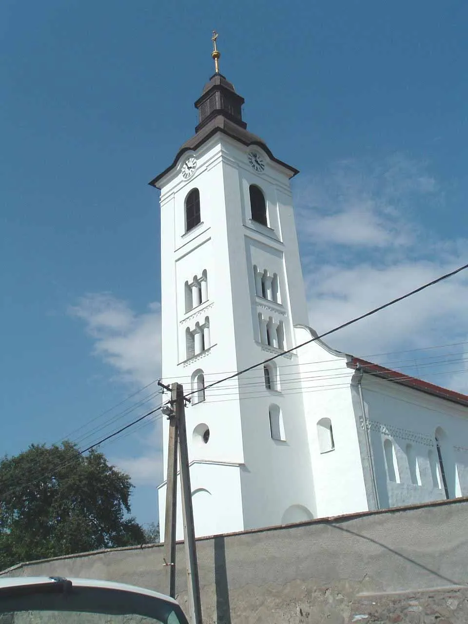
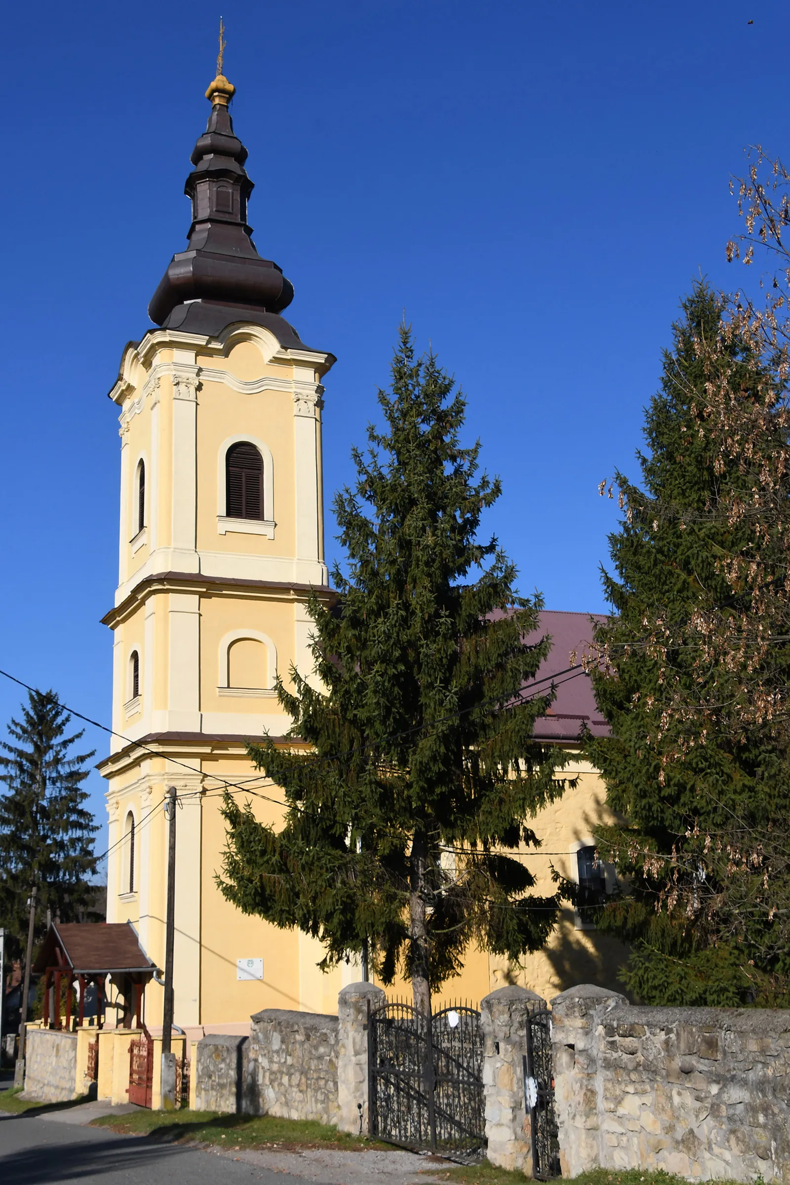
(Tornaľa): Tornaľa is a small town situated in the central part of Slovakia. While it may not be widely known for its cycling opportunities, the surrounding countryside offers various serene and picturesque routes suitable for road and gravel cyclists. Cyclists can explore the tranquil valleys, winding rivers, and rolling hills of the region. The town itself features charming architecture and a rich history, making it an interesting stop for tourists. While Tornaľa may not have any famous cycling-related spots nearby, it is an ideal destination for cyclists looking to experience the peaceful beauty of the Slovakian countryside.
A scenic and adventurous gravel route
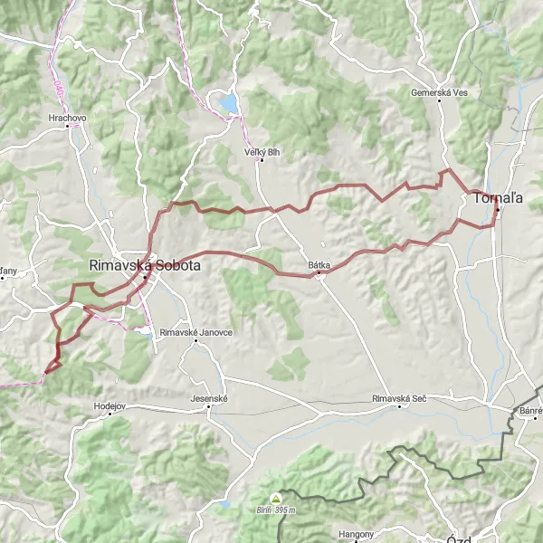
This challenging gravel route takes you through beautiful landscapes, winding roads, and picturesque villages of Stredné Slovensko. Starting from Tornalá, you'll encounter the magnificent Muší vrch, situated at a distance of 6 km. As you continue, discover the charming Uzovská Panica (17 km), followed by the historic town of Rimavská Sobota (31 km). The route also includes the stunning Rakovec (40 km) and scenic Diep (62 km) before reaching the captivating Ďurťán (73 km) and Stránska (78 km). Overall, this epic route offers a perfect mix of challenging terrain and captivating highlights.
Exploring the Countryside
A delightful gravel route through picturesque villages
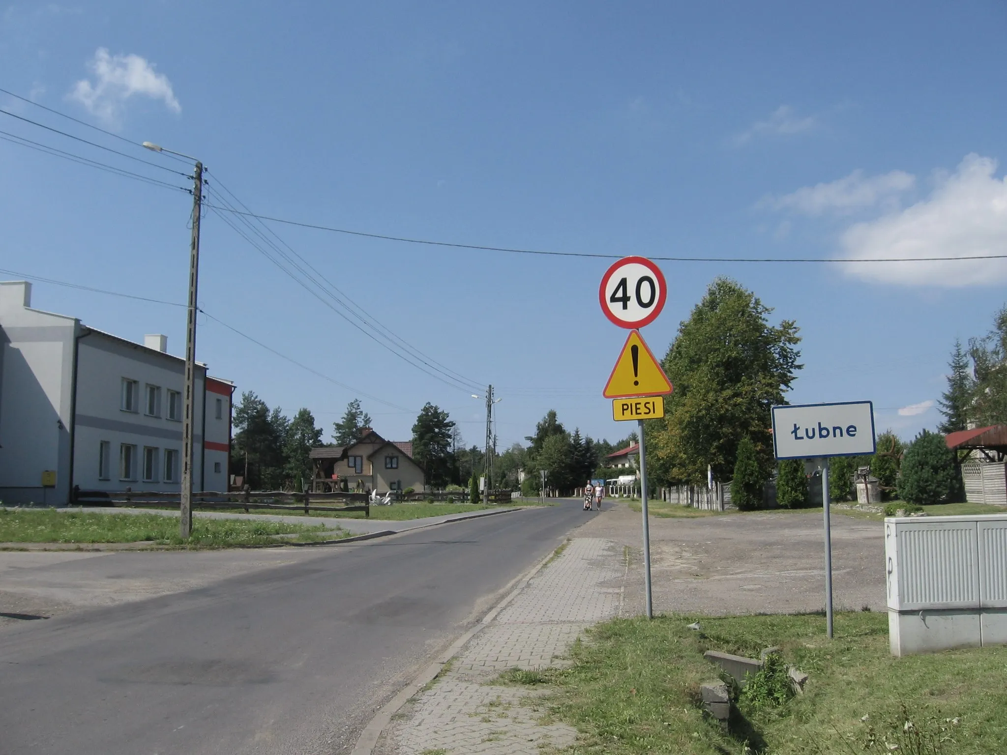
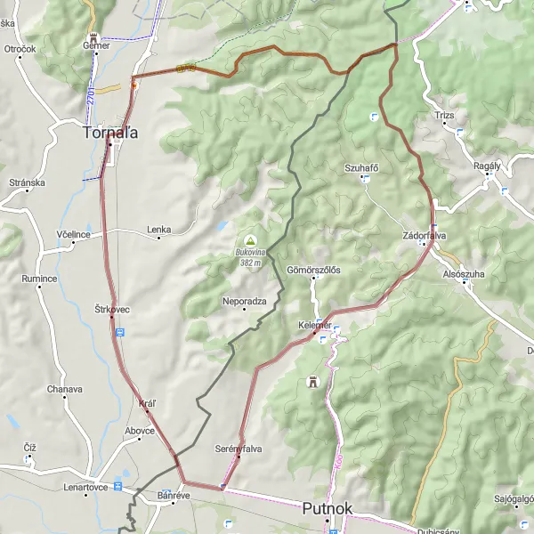
Discover the beauty of Stredné Slovensko on this scenic gravel route starting from Tornalá. The route covers a distance of 52 km with a moderate ascent of 356 m. Begin your journey by exploring the charming village of Starňa (2 km), followed by the striking Uhoľný kopec (7 km). Further along, you'll encounter the peaceful village of Zádorfalva (23 km) and the picturesque Riečka (42 km). The highlight of this route is Tornalá (52 km), known for its rich history, cultural heritage, and beautiful natural surroundings.
Embark on a scenic road cycling tour around Tornaľa and uncover its hidden gems.
This 59 km route takes you through a variety of landscapes, from rolling hills to peaceful countryside. With an ascent of 448 m, this route offers a moderate challenge for cyclists. Highlights include the charming village of Otročok and the majestic Tornaľa, known for its rich history and mining heritage.
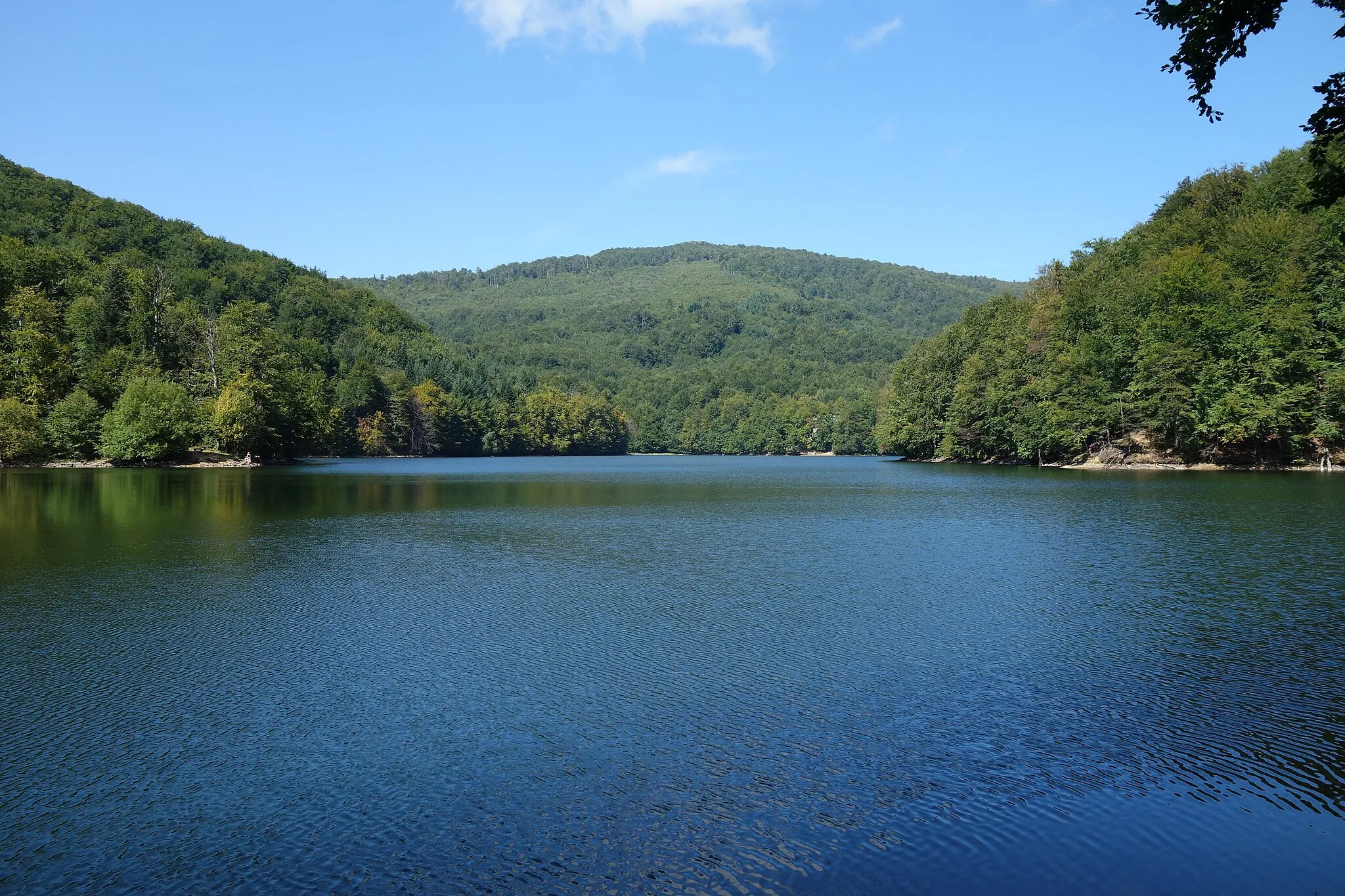
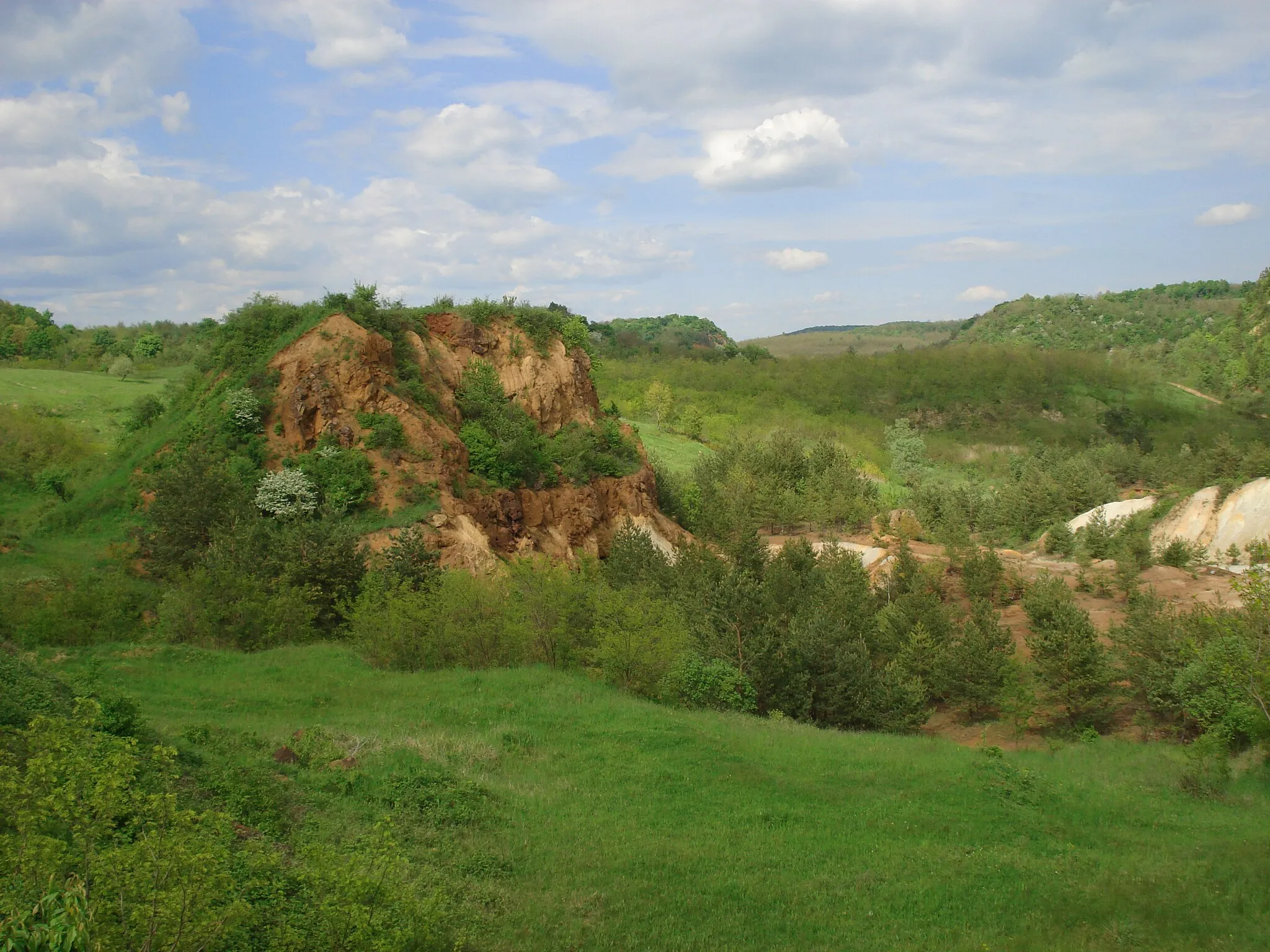
Embark on a gravel cycling adventure through the beautiful Gemer region.
Explore the scenic Gemer region in Stredné Slovensko with this gravel cycling route starting near Tornaľa. This 51 km round-trip adventure offers stunning landscapes, challenging terrain, and several attractive highlights along the way. Get ready for a memorable cycling experience in the heart of Slovakia.
The Epic Road Adventure
An unforgettable road cycling experience
Embark on an epic road cycling journey through the picturesque landscapes and vibrant villages of Stredné Slovensko. Covering a distance of 114 km with a total ascent of 499 m, this road route offers a challenging yet rewarding experience for cyclists. Begin your adventure by exploring the historic village of Chanava (12 km), followed by the scenic Dubovec (28 km). Further along, pass through the charming village of Petrovce (45 km) and discover the architectural marvel of the Matrač (51 km). The route also includes the breathtaking Tienistá hora (63 km), picturesque Hodejov (66 km), and Pavlovce (76 km). Don't miss the captivating Diep (89 km) and Ďurťán (103 km), before reaching the scenic Figa (106 km).
The Countryside Escape
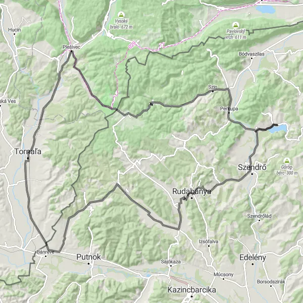
A scenic road cycling route through picturesque villages
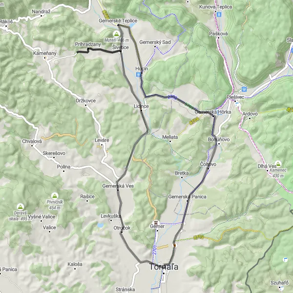
Escape to the serenity of Stredné Slovensko's countryside on this scenic road cycling route. Covering a distance of 125 km with a total ascent of 782 m, this route offers beautiful landscapes, cultural attractions, and picturesque villages. Begin your journey by exploring the charming village of Čoltovo (9 km), followed by the historic Hradisko (13 km). Further along, experience the beauty of Červená stráň (23 km) and the captivating Aggtelek (28 km). The route also includes the stunning Szin (43 km) and Nagy-hegy (47 km). Don't miss the remarkable Kilátó (66 km) and Szendrő (67 km), before reaching the picturesque Jákfalva (87 km) and enchanting Serényfalva (108 km). The highlight of the route is the beautiful village of Tornalá (125 km), where you'll find a perfect mix of natural beauty, historical landmarks, and warm hospitality.
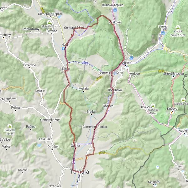
A challenging gravel route through the glorious Gemer region
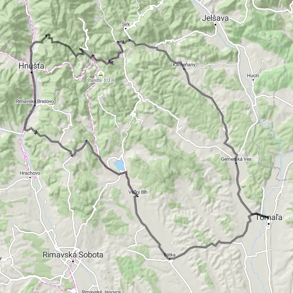
Embark on a thrilling gravel adventure through the magnificent Gemer region, starting from Tornalá and covering a distance of 90 km. This challenging route boasts a total ascent of 1108 m, offering breathtaking views and cultural highlights. Begin your journey by exploring the scenic Gemer region (3 km), followed by the picturesque village of Guba (12 km). As you continue, discover the hidden gem of Lysina (23 km) and the captivating Slavec (28 km). The route also includes the historic town of Rožňava (38km) and the tranquil village of Doma (57 km). Don't miss the stunning Silica (58 km) and Maliník (68 km), before reaching Kečovo (68 km), and the remarkable Tornaľa - Starňa (88 km).
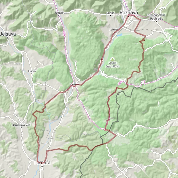
Escape to the mountains on this road cycling route from Tornaľa to Riečka.
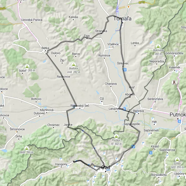
This 77 km route takes you through picturesque mountain landscapes and charming villages. With a moderate ascent of 366 m, this route offers a relaxing yet enjoyable ride. Highlights along the way include the beautiful village of Riečka and the stunning panoramic views from Akasztó-hegy. Don't miss the chance to visit the unique Janice village and explore its natural beauty.
Tornaľa to Včelince Loop
Explore the stunning Rimava River Valley on this road cycling route from Tornaľa to Včelince.
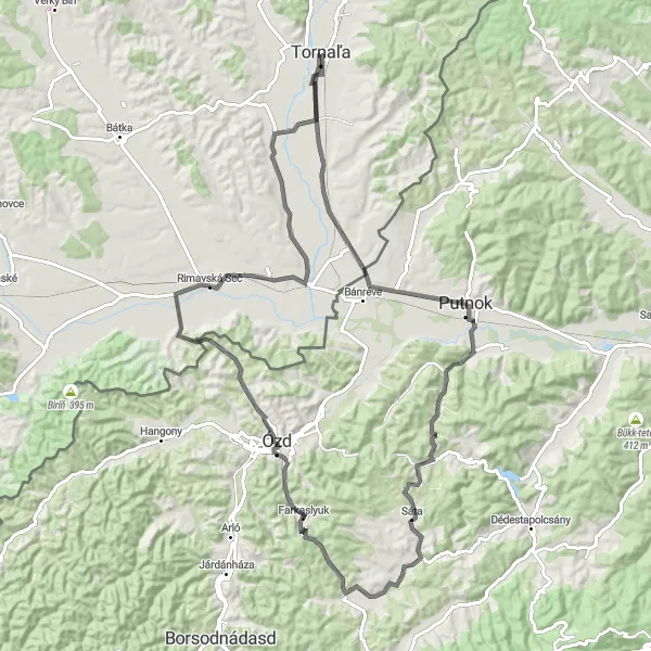
This 93 km route offers a mix of challenging climbs and rewarding descents, with a total ascent of 503 m. Enjoy the scenic landscapes as you pass through charming villages such as Putnok and Borsodbóta. Don't miss the picturesque Akasztó-hegy and Rimavská Seč, which are major highlights along this route.
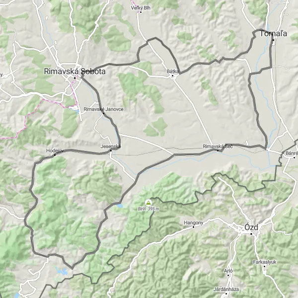
Discover the beauty of the Rimava River Valley on this challenging road cycling route.
This 109 km route offers a thrilling experience with a total ascent of 1301 m. Immerse yourself in the natural splendor as you cycle alongside the enchanting Rimava River. Highlights along the way include the picturesque village of Ďurťán and the historic town of Rimavská Baňa. Don't miss the impressive Zráz rock formation and the serene beauty of Rákoš.
Cycling routes nearby:
Nearby regions: