Relaxing countryside cycling in Gbely
Cycling routes from Gbely
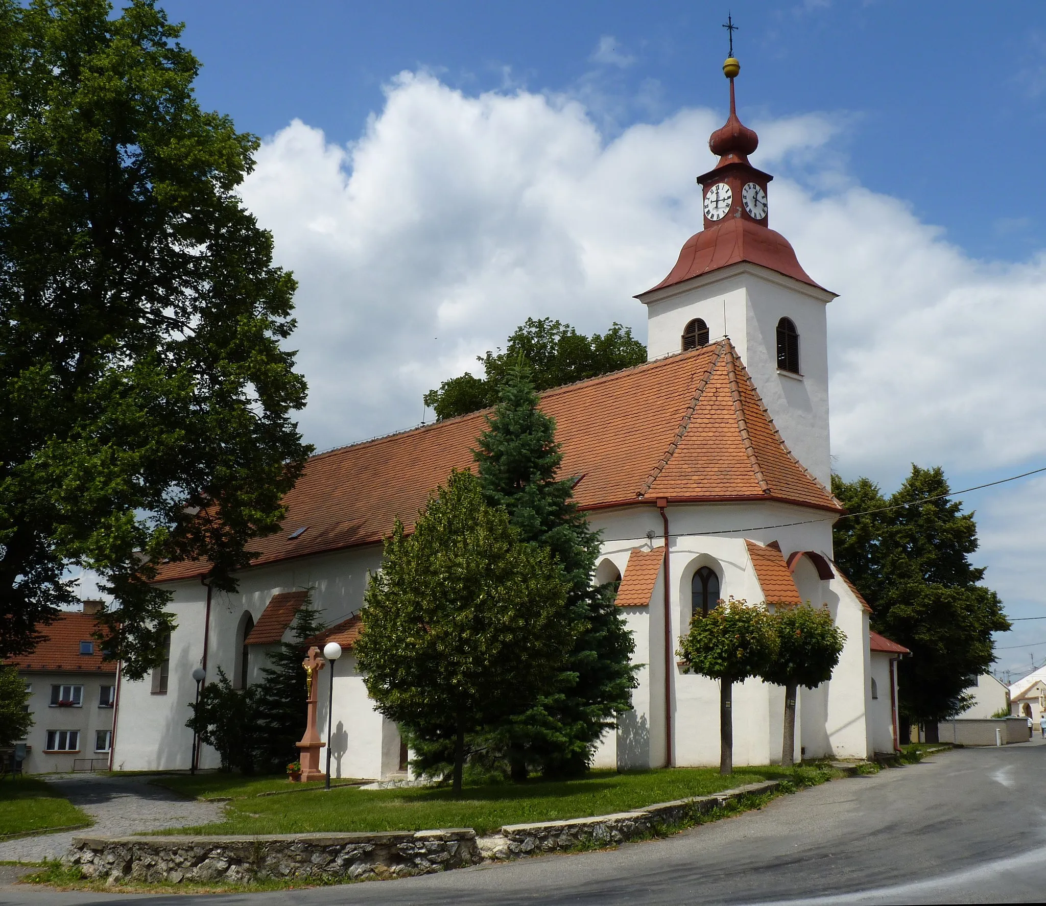
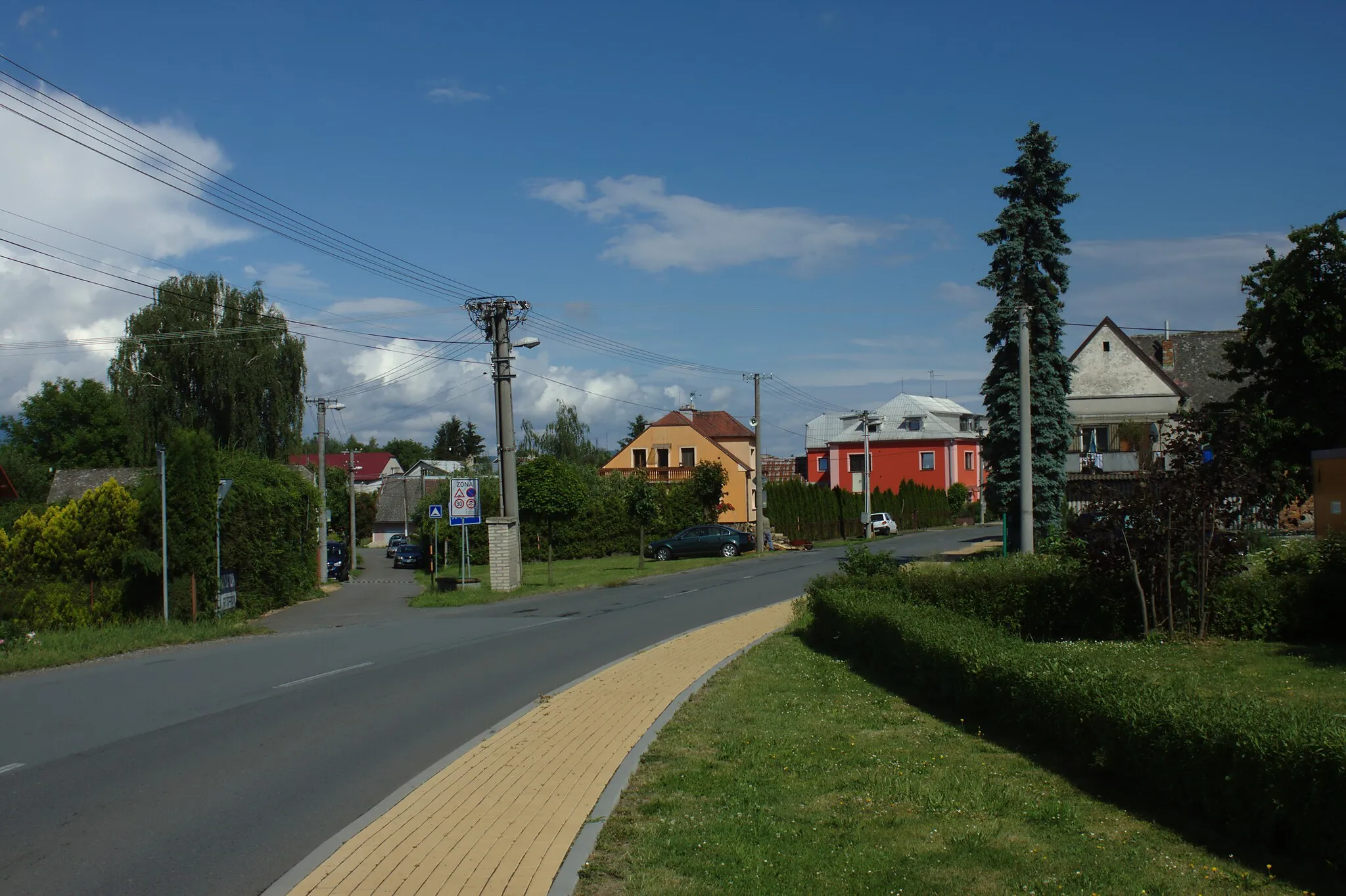
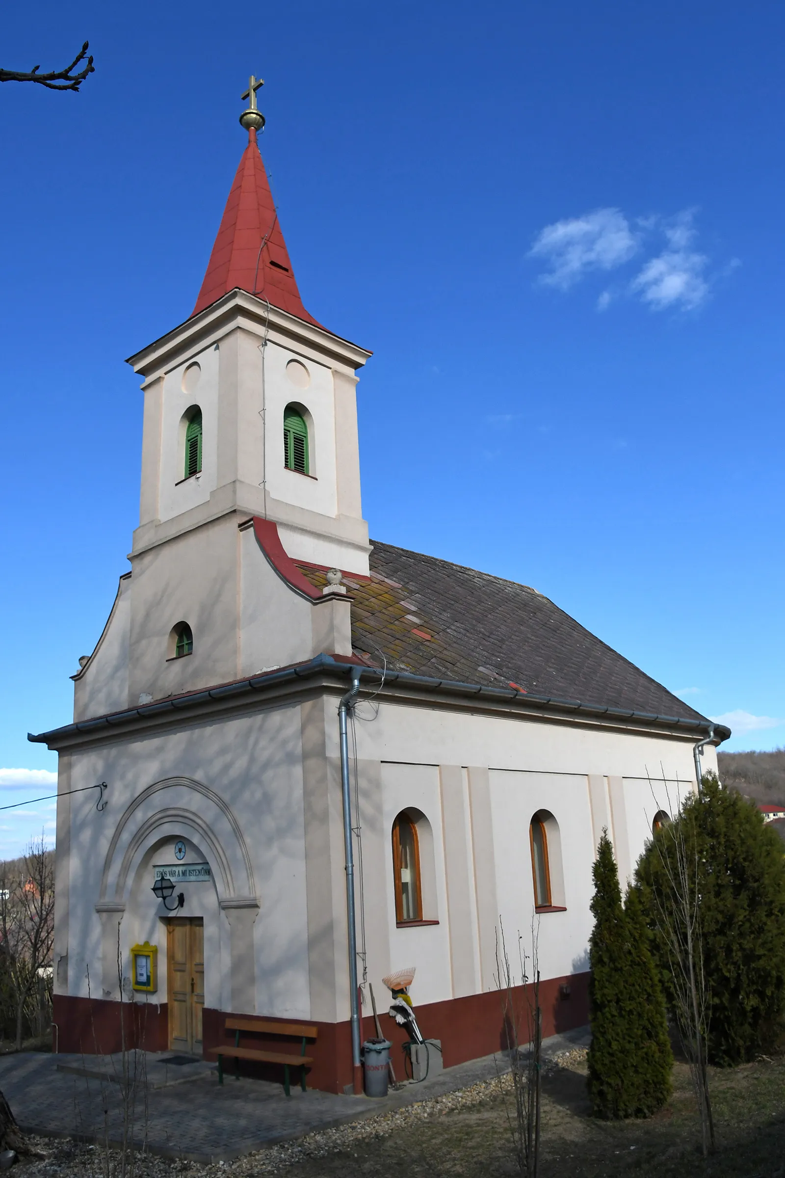
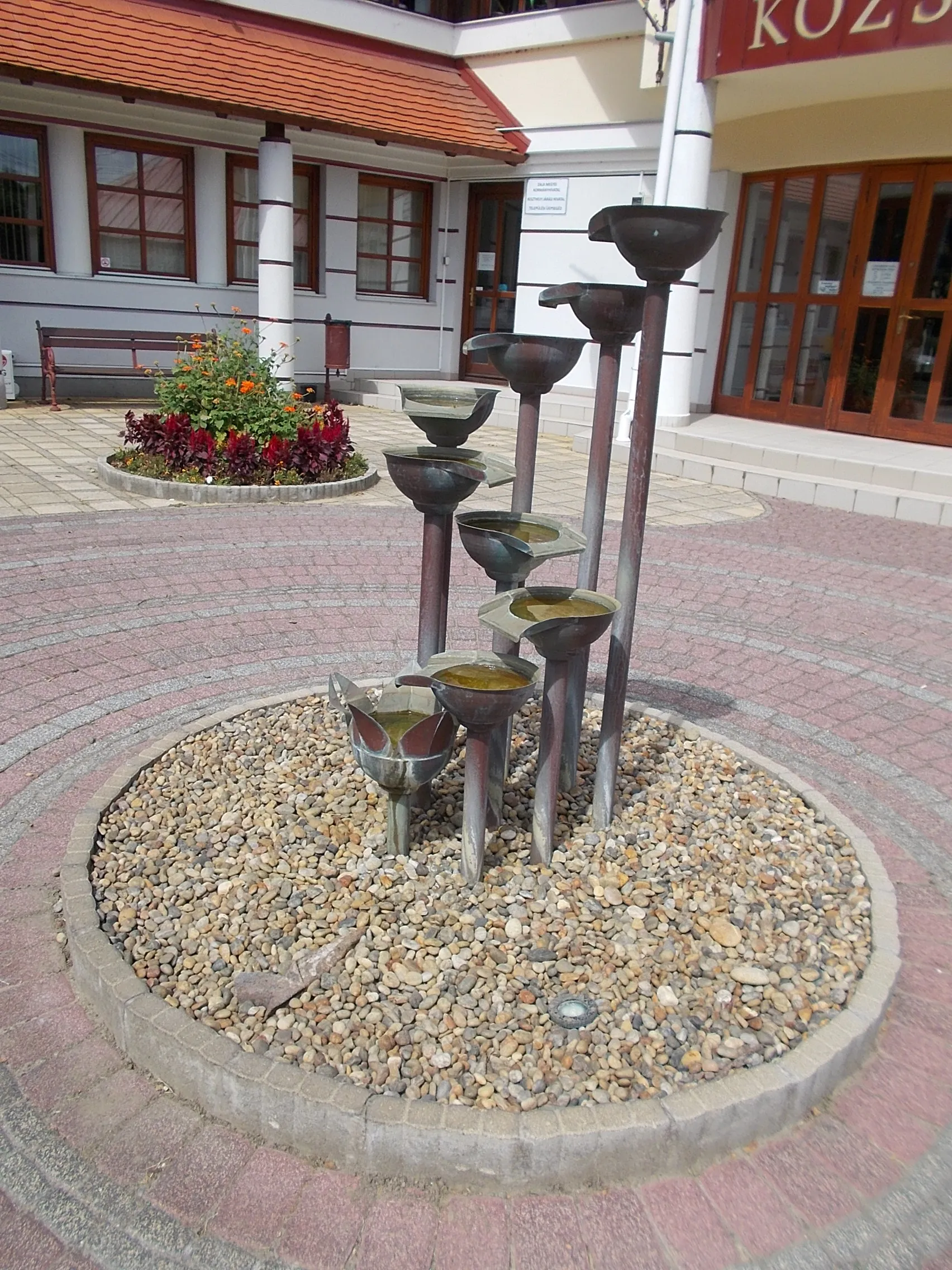
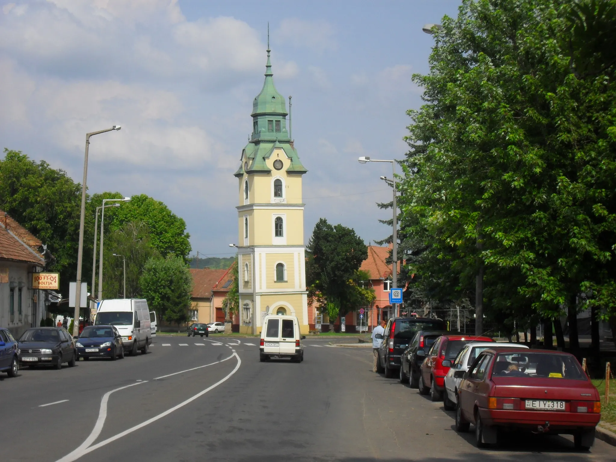
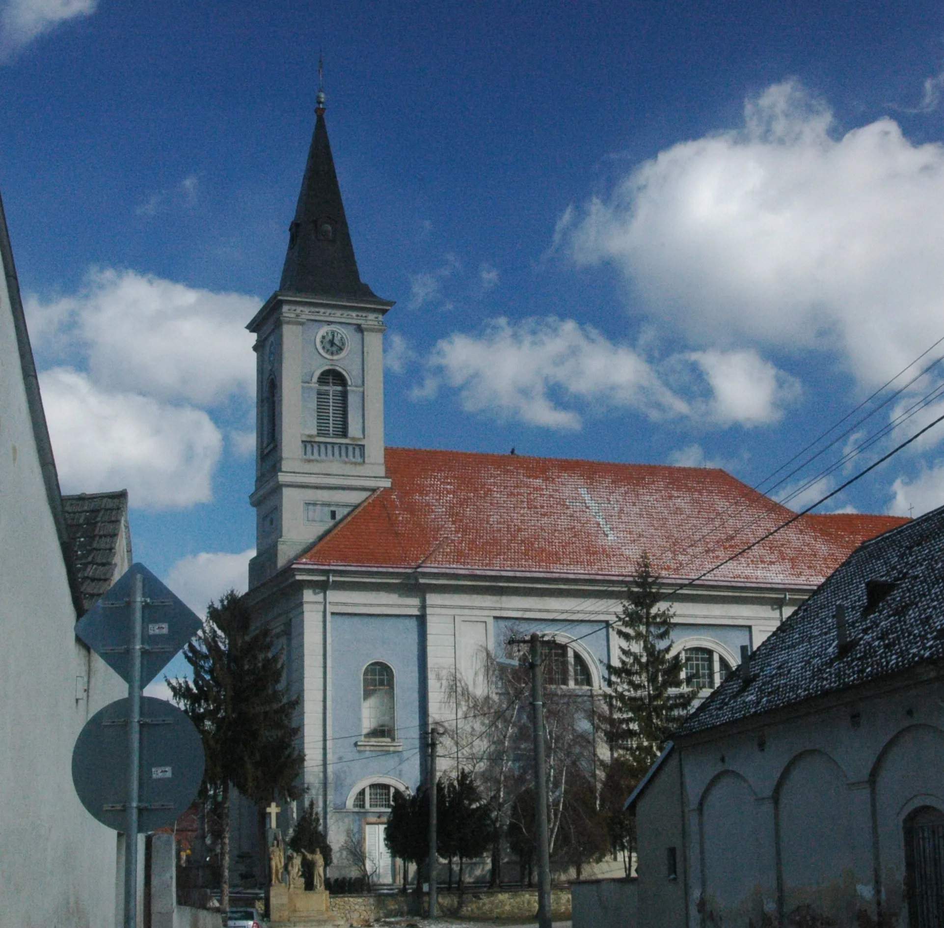
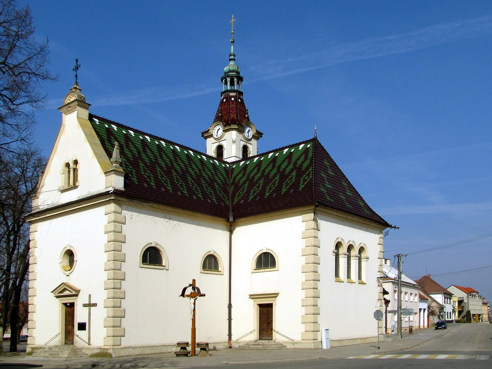
Gbely is a small town located in Západné Slovensko, Slovakia. From a cyclist's point of view, Gbely offers diverse road and gravel cycling routes in the surrounding countryside. The flat terrain makes it suitable for cyclists of all skill levels, and the quiet roads provide a peaceful riding experience. There are no well-known climbs or famous cycling locations directly near Gbely, but the surrounding area offers pleasant and scenic rides. The town itself has some cycling-friendly amenities, such as bike lanes and bike rental options. Overall, Gbely is a suitable locality for cyclists looking for relaxing rides in the Slovakian countryside.
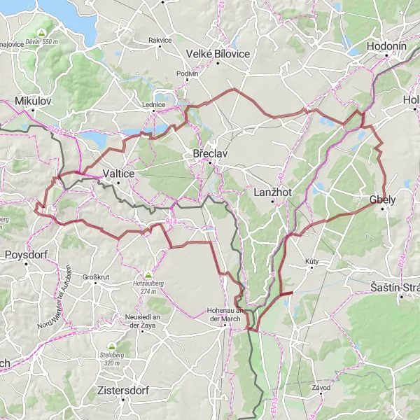
The Iron Curtain Loop
Discover remnants of the Iron Curtain while cycling through the picturesque countryside
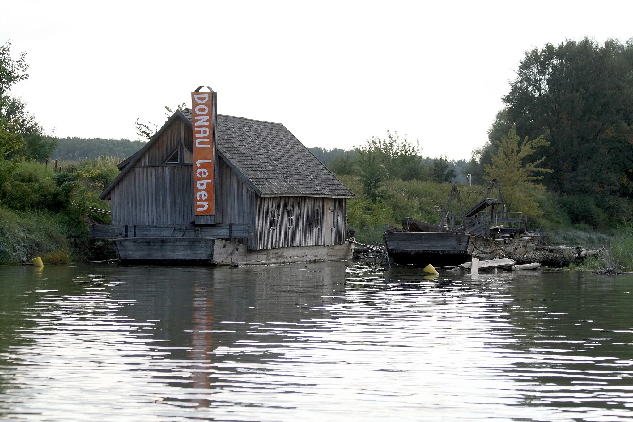
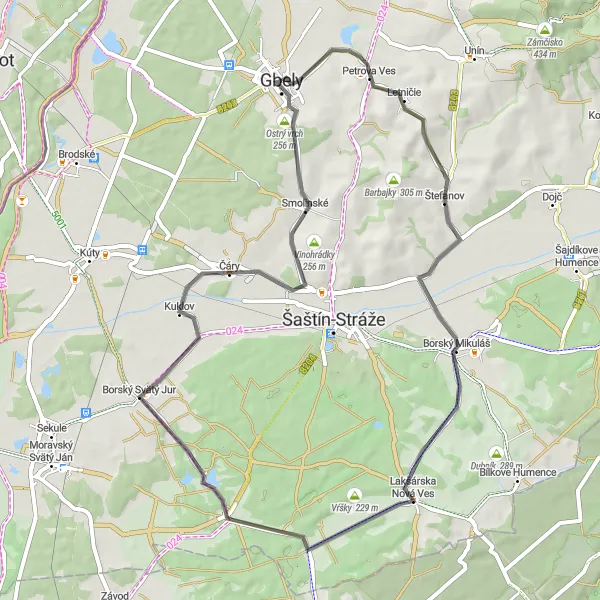
This round-trip cycling route takes you through the charming villages and rolling hills of the Gbely region. As you pedal along, keep an eye out for remnants of the Iron Curtain, which once separated Slovakia from its neighboring countries. The route offers a mix of scenic landscapes, historical landmarks, and cultural attractions, making it an ideal choice for both history enthusiasts and nature lovers. The difficulty level of this route is moderate, suitable for well-trained amateur cyclists. With an ascent of 360 meters and a distance of 56 kilometers, the Iron Curtain Loop provides a satisfying challenge without being overly demanding. For an epic dose of nature and history, embark on this cycling adventure and explore the region's hidden gems.
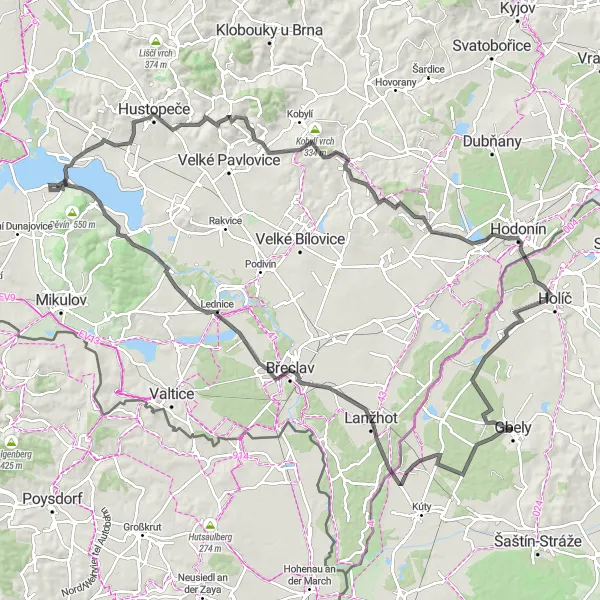
Discover the rich history and viticulture traditions of the Gbely region
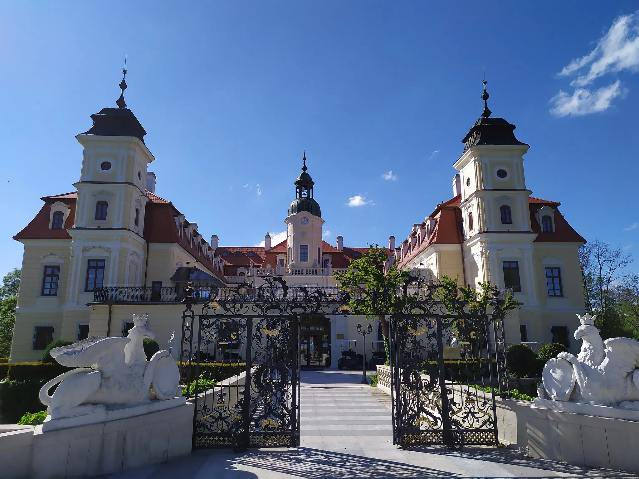
This road cycling route takes you on a journey through ancient castles and scenic vineyards. As you pedal along, immerse yourself in the region's rich history and taste its world-famous wines. The route offers a mix of cultural attractions, natural beauty, and delicious culinary experiences. With a difficulty rating of 4 and an ascent of 634 meters, this route is suitable for experienced amateur cyclists looking for a satisfying challenge. Embark on this epic adventure and explore the best of Gbely's historical and wine trails.
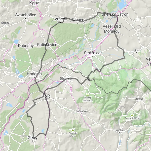
A thrilling gravel ride through the scenic Holíčska hora region
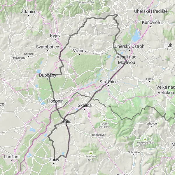
Experience the breathtaking beauty of the Holíčska hora region on this challenging gravel ride. With a total ascent of 774 meters and a distance of 73 kilometers, this circuit is suitable for well-trained amateurs. The route takes you through picturesque villages and offers stunning views of the surrounding countryside. Prepare to be enthralled by the rich cultural heritage and natural wonders of this region.
Explore the cultural and natural treasures of the Gbely region on this road cycling route
Embark on a road cycling adventure and discover the rich cultural heritage and breathtaking natural wonders of Gbely. With a difficulty level of 4 and an ascent of 670 meters, this route is suitable for experienced amateur cyclists seeking a challenge. Along the way, visit stunning viewpoints, explore historic landmarks, and immerse yourself in the region's unique charm. This route offers a perfect mix of history, nature, and outdoor enjoyment.
Conquer the challenging Hrebeň mountain range and uncover hidden gems
Push your limits with this exhilarating road cycling adventure through the Hrebeň mountain range. With a total ascent of 516 meters and a distance of 106 kilometers, this route is suitable for experienced cyclists seeking a challenging ride. Ascend to new heights, explore historical sites, and embrace the beauty of the countryside. From picturesque castles to quaint villages, this route offers a diverse range of attractions.
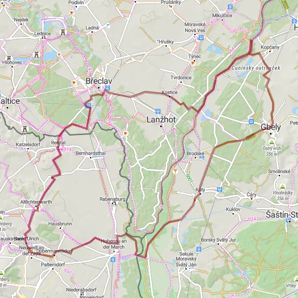
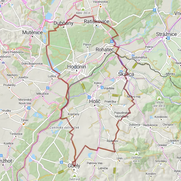
Embark on a gravel adventure from Gbely to Kúty and explore the beautiful countryside of Západné Slovensko.
This gravel cycling route starting near Gbely takes you on a scenic journey through the picturesque region. With a distance of 92 km and an ascent of 328m, this route offers a moderate level of challenge suitable for well-trained amateurs. Throughout the route, you'll come across several highlights, including the charming town of Kúty, the confluence of Morava and Dyje rivers at Soutok Moravy a Dyje, and the historic town of Neusiedl an der Zaya. Explore the rolling hills of Zeiselberg and pass through the quaint village of Poštorná. The route also brings you to the fascinating location of Kostice with its unique landmarks, and finally to Révajka, where you can enjoy beautiful views before heading back to Gbely.
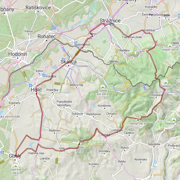
Smolinské Nordic Tour
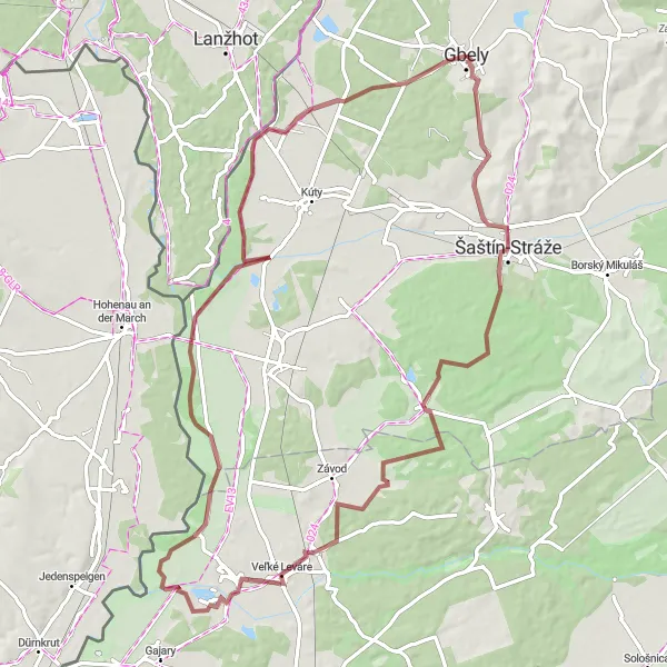
Escape into nature on this thrilling gravel adventure through the Smolinské forest
Immerse yourself in the raw beauty of nature on this exhilarating gravel cycling tour through the Smolinské forest. With a total ascent of 344 meters and a distance of 80 kilometers, this route is suitable for intermediate cyclists. Encounter diverse wildlife, explore hidden paths, and revel in the tranquility of the forest. From stunning viewpoints to picturesque villages, this tour showcases the best of the Smolinské region.
Embark on a gravel exploration from Gbely to Hlohovec and uncover the hidden gems of Západné Slovensko.
Embark on a gravel cycling adventure starting near Gbely and explore the diverse landscapes of Západné Slovensko. This 116 km route features an ascent of 573m, providing a challenging experience suitable for well-trained amateur cyclists. Throughout the journey, you'll encounter numerous highlights, including the confluence of Morava and Dyje rivers at Soutok Moravy a Dyje, the charming village of Rabensburg, and the quaint town of Herrnbaumgarten. Pedal through the trails leading to Hlohovec, known for its cultural treasures, and continue your exploration to Hrušky, where historical landmarks await. Finally, reach Révajka and take in the magnificent views before returning to Gbely.
Gbely - Révajka - Dubňany - Ratíškovice - Skalica - Veterník - Popudinské Močidľany - Holíčska hora
Explore the beautiful countryside around Gbely on this gravel route, featuring scenic villages and picturesque hills.
This distinctive route takes you through the stunning landscapes surrounding Gbely. With a total ascent of 492 meters and a distance of 75 kilometers, it offers a moderate level of difficulty suitable for amateur cyclists. Along the way, you'll pass through charming villages like Révajka, Dubňany, Ratíškovice, and Skalica. The route also includes highlights such as Veterník, Popudinské Močidľany, and the iconic Holíčska hora.
Get off the beaten path and explore the gravel roads of the Gbely region on this challenging route
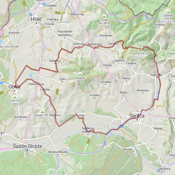
Ready for an off-road adventure? This challenging gravel cycling route will take you on a thrilling journey through the hidden gems of the Gbely region. With a difficulty rating of 5 and an ascent of 1053 meters, this route is reserved for experienced cyclists seeking a true test of their skills. Throughout the route, you'll encounter steep climbs, technical descents, and rugged terrain. But the effort is worth it, as you'll be rewarded with stunning views, remote landscapes, and the exhilaration that comes from conquering challenging trails. For those seeking an epic off-road adventure, this route is a must-try.
Cycling routes nearby:


Nearby regions: