Leisurely cycling through the scenic countryside of Šaľa.
Cycling routes from Sala
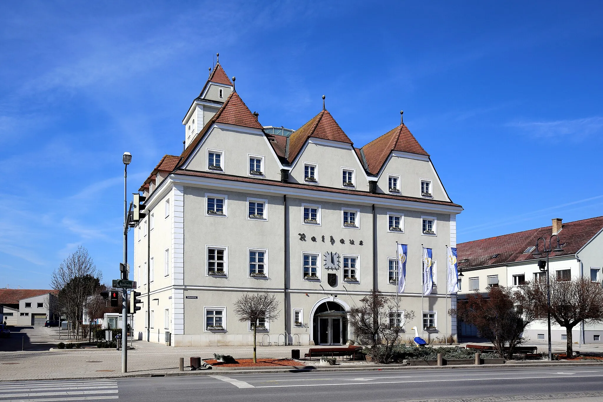
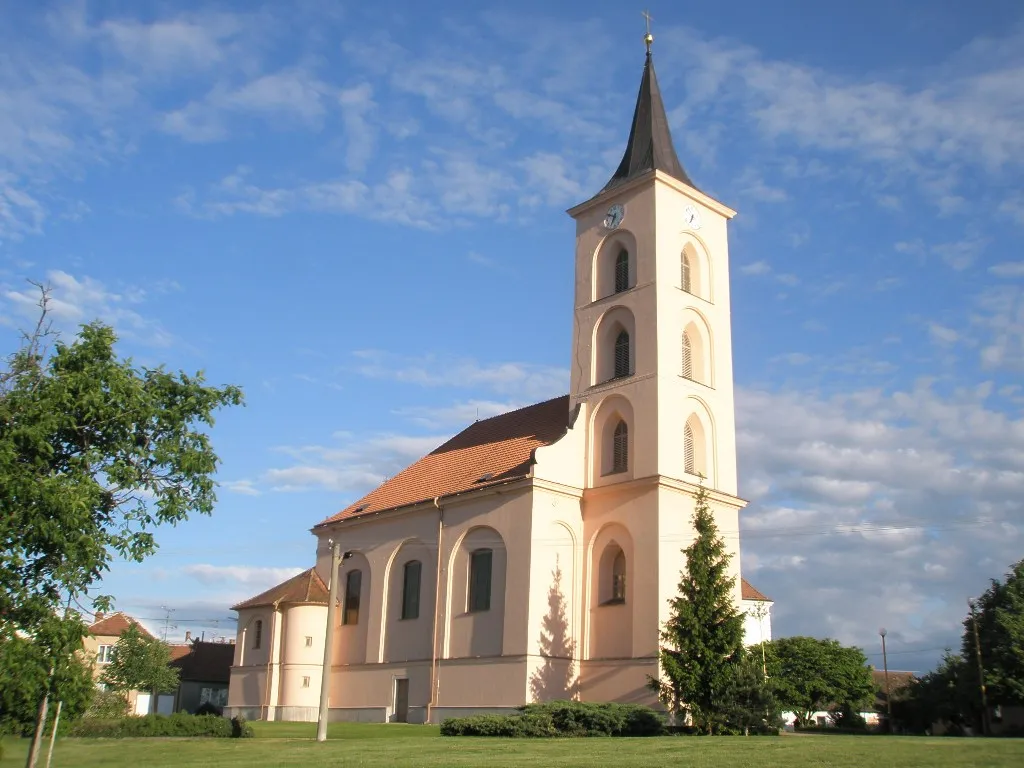
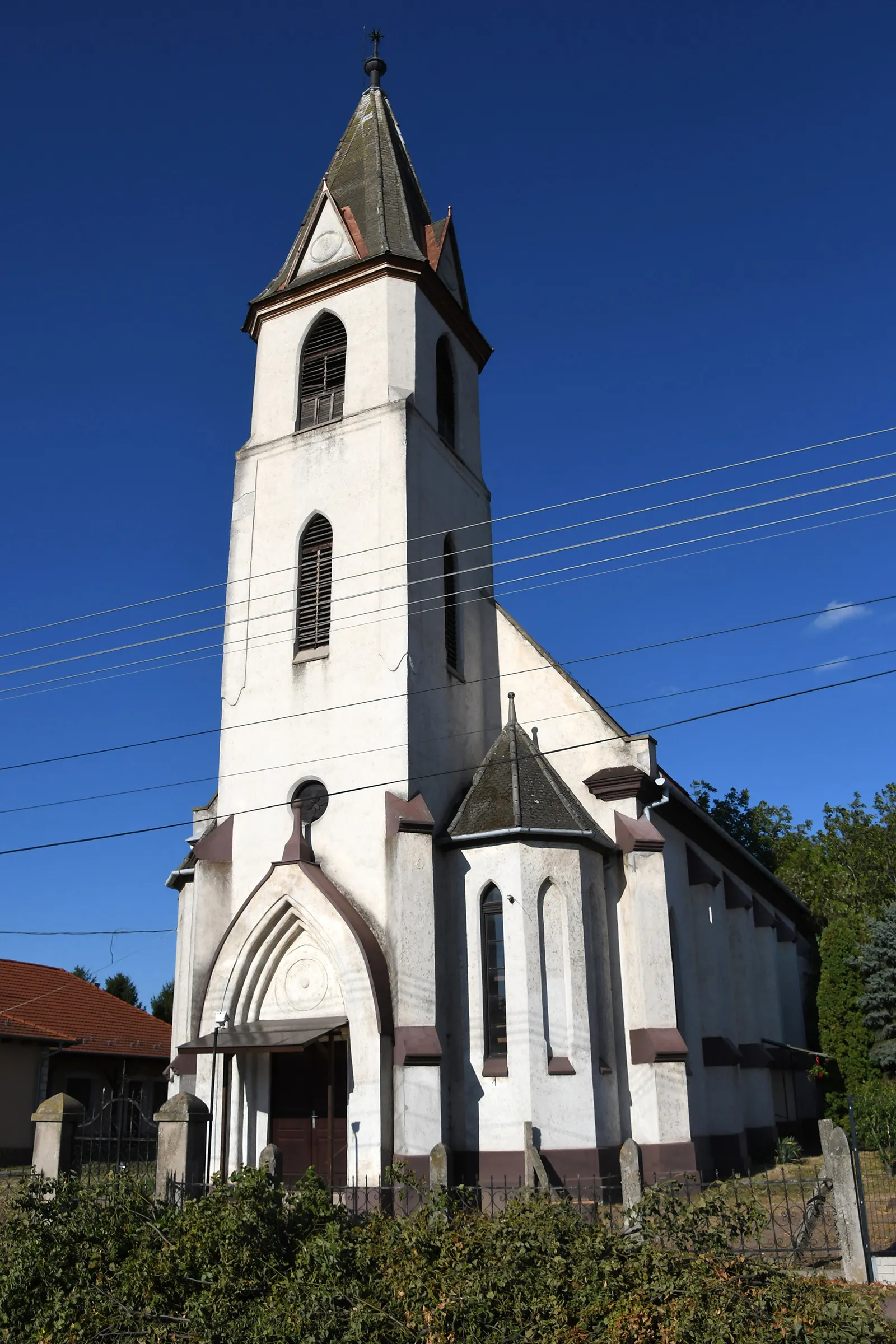
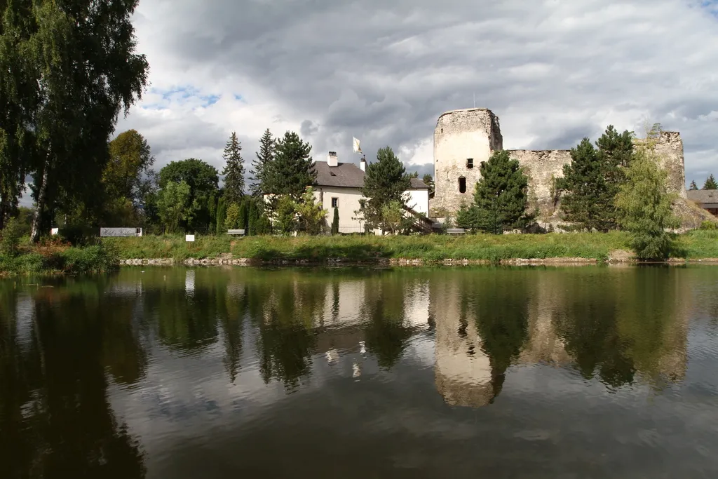
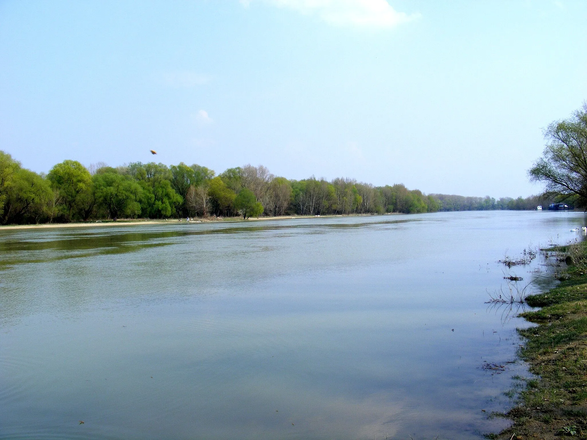
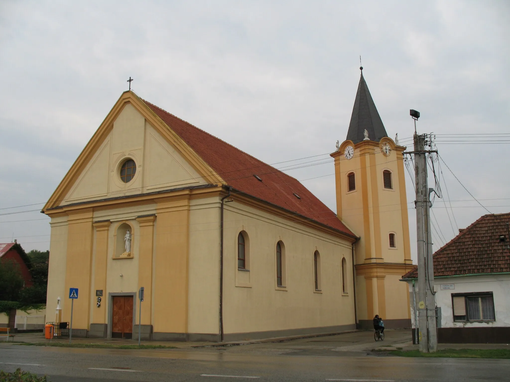
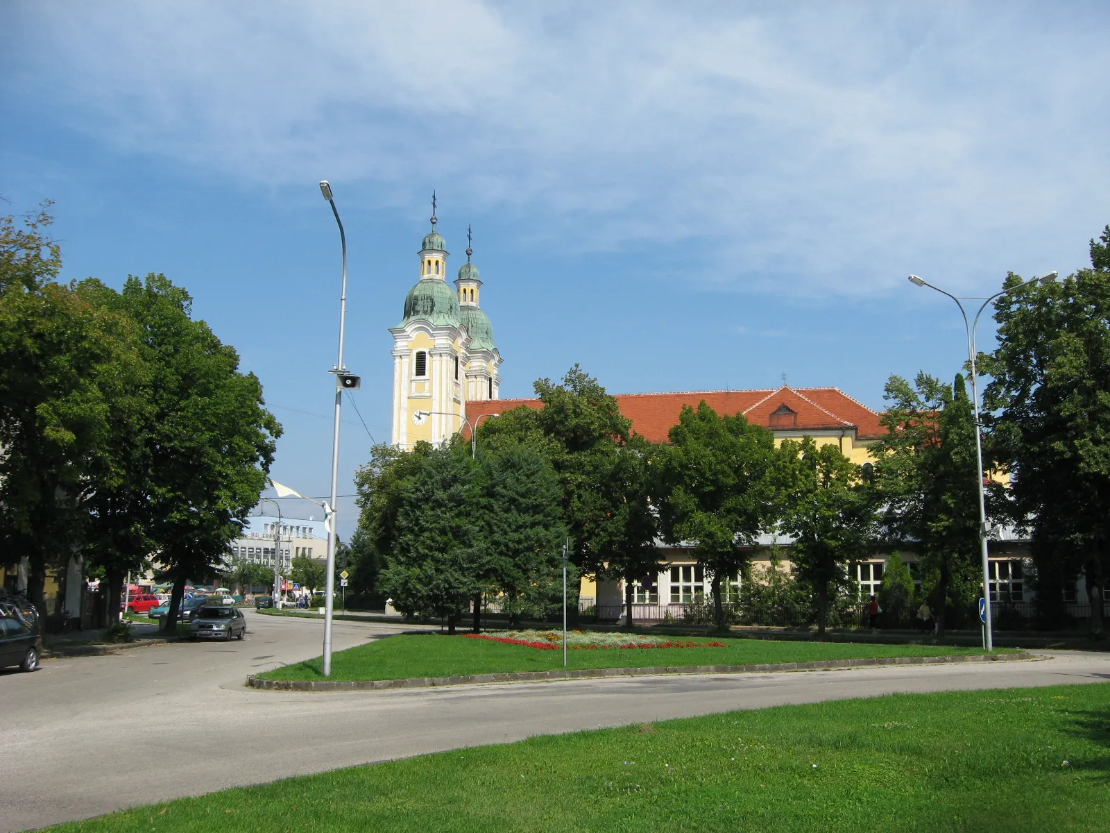
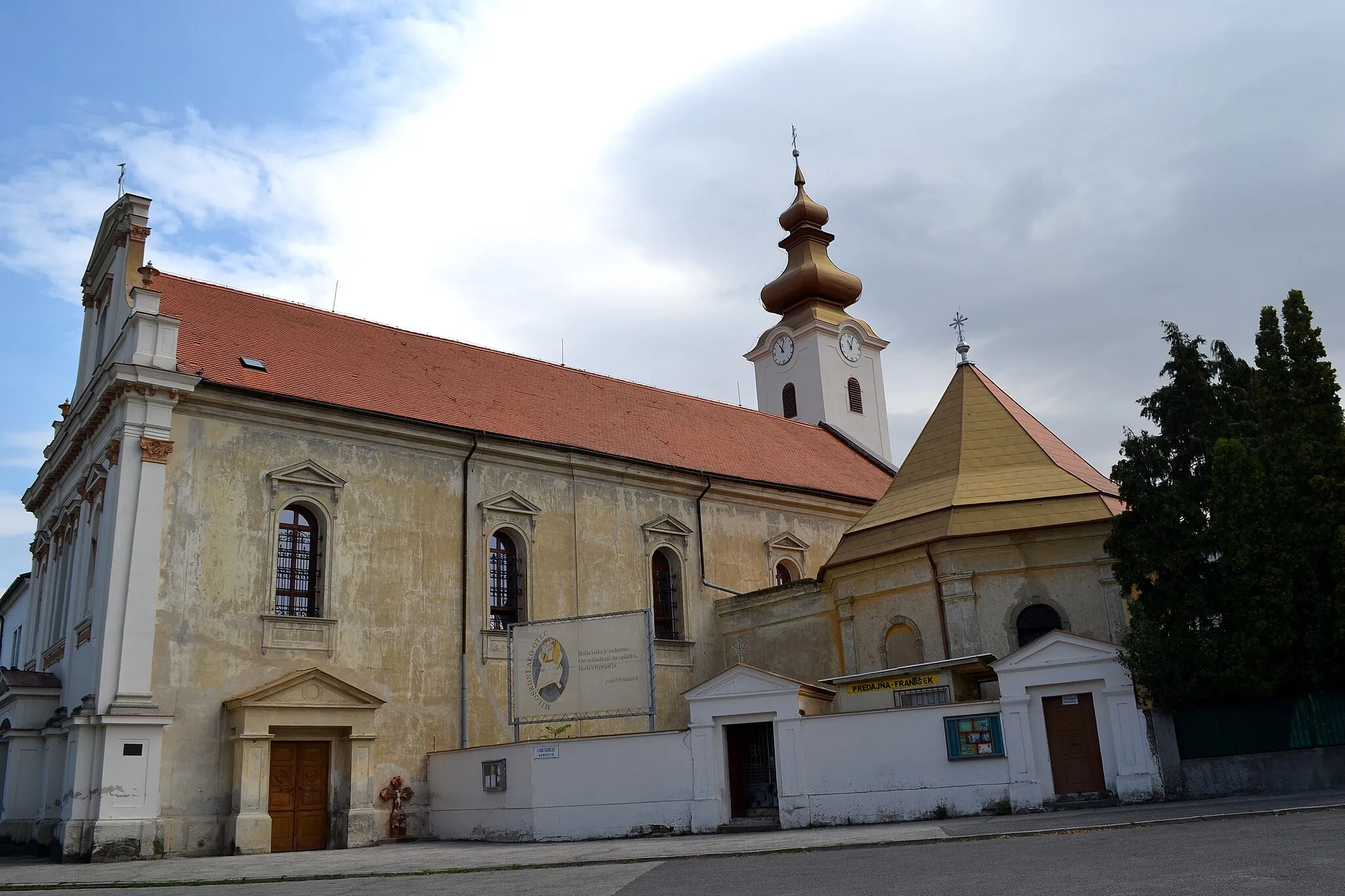
Šaľa is a town located in the Západné Slovensko region of Slovakia. From a cyclist's perspective, the town and its surroundings offer flat terrain, making it ideal for leisurely cycling. Cyclists can explore the picturesque countryside on quiet country roads and visit attractions such as the Šaľa Castle. However, the area lacks notable cycling-specific spots or challenging climbs. Overall, Šaľa is a suitable locality for casual and beginner cyclists who prefer easy rides and a peaceful environment.
Gravel Grand Tour
Discover the charms of Žihárec and Jahodná on this 70 km gravel route near Šaľa
Embark on a thrilling gravel adventure near Šaľa. This 70 km round-trip route takes you through picturesque landscapes and introduces you to charming highlights along the way. Explore the fascinating town of Žihárec and marvel at the natural beauty of Jahodná. With its moderate ascent of 51 meters, this route is suitable for moderately fit cyclists. Get ready for a memorable outing that combines nature, culture, and adventure.
Experience the thrill of gravel cycling amidst scenic landscapes
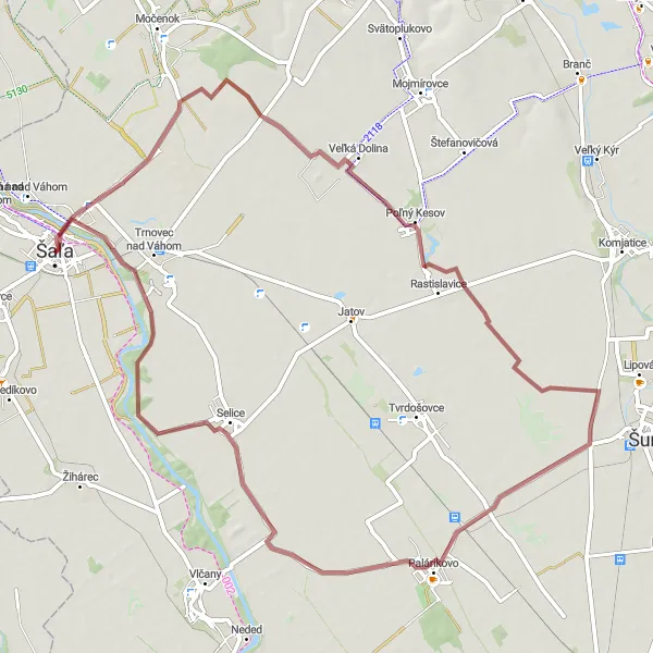
This gravel cycling route covers a distance of 69 kilometers with an ascent of 91 meters. Starting from the village of Veča, you will ride through the peaceful countryside, passing by Poľný Kesov and Selice. Enjoy the off-road adventure and immerse yourself in the beauty of nature.
Explore the scenic countryside of Západné Slovensko
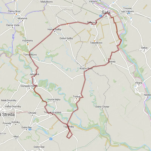
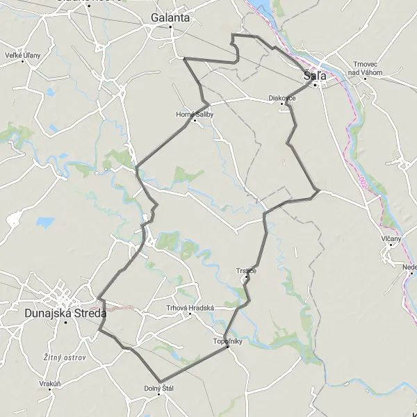
This road cycling route takes you through the picturesque villages of Kráľov Brod, Topoľníky, and Jahodná in Západné Slovensko. With a distance of 80 kilometers and an ascent of 34 meters, it is suitable for well-trained amateur cyclists. The route offers beautiful views of the surrounding landscape and showcases the rural charm of the region.
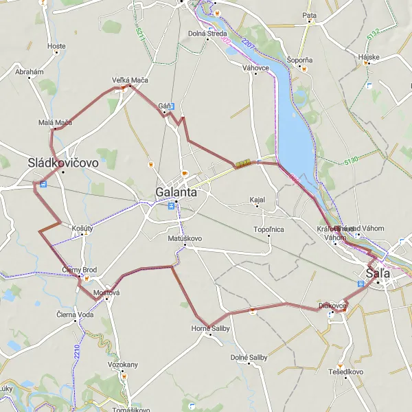
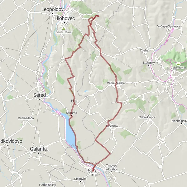
Experience the beauty of Čierny Brod and Veľká Mača on this 58 km gravel route near Šaľa
Indulge in the natural beauty of Slovakia on this 58 km gravel route near Šaľa. Discover the hidden treasures of Čierny Brod and Veľká Mača, two charming villages that offer a feast for the senses. With a moderate ascent of 29 meters, this route is ideal for cyclists seeking a rewarding outdoor adventure. Immerse yourself in the serene countryside and let the captivating landscapes rejuvenate your spirit.
Šaľa Cycling Route 1
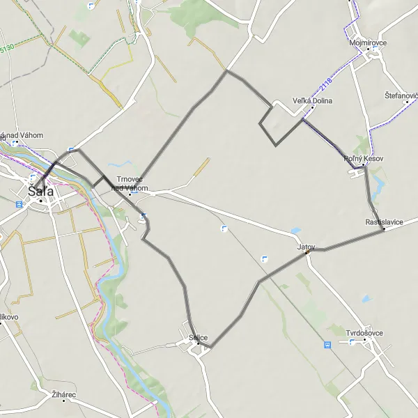
Experience the beauty of Trnovec nad Váhom and Selice
This route takes you through picturesque towns and villages such as Trnovec nad Váhom and Selice. You will also enjoy the stunning landscape of Západné Slovensko, Slovakia. With a total distance of 48 km and an ascent of 61 m, this route is suitable for well-trained amateurs. Get ready for an enjoyable cycling experience in Šaľa.
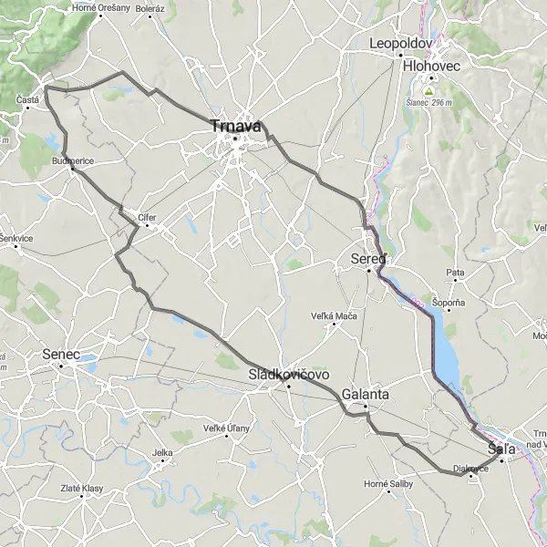
Discover the beauty of diverse landscapes in Západné Slovensko
Embark on this road cycling adventure that spans 115 kilometers with an ascent of 214 meters. As you cycle through Sládkovičovo, Igram, Štefanová, Košolná, City Tower, Šúrovce, Vodné dielo Kráľová, and Kráľová nad Váhom, you'll witness the contrasting landscapes of flat plains, rolling hills, and charming towns.
Conquer legendary climbs at Vodné dielo Kráľová and immerse yourself in the beautiful landscapes on this challenging 86 km gravel route near Šaľa
Prepare for the ultimate adventure on this challenging 86 km gravel route near Šaľa. Conquer iconic climbs at Vodné dielo Kráľová and be rewarded with breathtaking views at every turn. With a demanding ascent of 583 meters, this route is reserved for experienced and well-trained cyclists who are seeking a true test of their skills. Feel the adrenaline rush as you tackle the epic landscape and savor the sense of achievement with every pedal stroke.
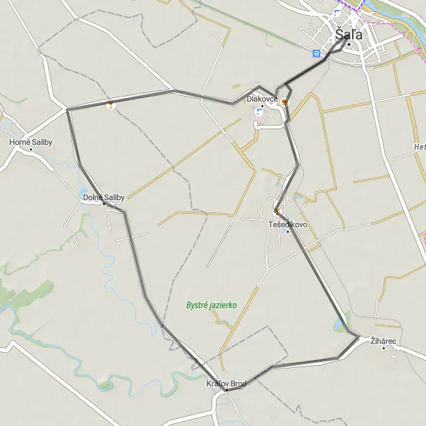
Enjoy a scenic road trip to Diakovce on this 34 km route near Šaľa
Embark on a delightful road adventure to the charming town of Diakovce with this 34 km route near Šaľa. Immerse yourself in the idyllic countryside and let the soothing landscapes inspire you. With a minor ascent of 7 meters, this route is perfect for beginners or cyclists seeking a leisurely ride. Explore the cultural heritage of Diakovce and soak in the rich history and traditions of the region.
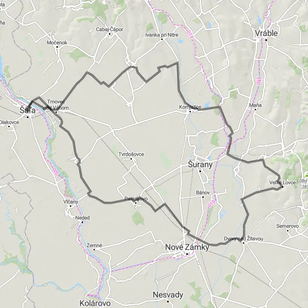
Veľká Dolina - Černík - Veľké Lovce - Dvory nad Žitavou - Kostolec - Palárikovo - Selice - Veča Loop
Embark on an adventurous road cycling journey through varied landscapes
This challenging road cycling route covers a distance of 113 kilometers with an ascent of 283 meters. It takes you through diverse landscapes, passing through Veľká Dolina, Černík, Veľké Lovce, Dvory nad Žitavou, Kostolec, Palárikovo, Selice, and Veča. Experience the beauty of the countryside, scenic hills, and historic landmarks along the way.
Roaming through Mojmírovce
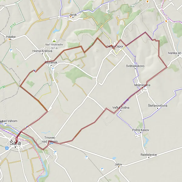
Cycle through the scenic landscapes of Mojmírovce and Trnovec nad Váhom on this 57 km gravel route near Šaľa
Embark on a cycling journey through the enchanting countryside near Šaľa with this 57 km gravel route. Discover the hidden corners of Mojmírovce and Trnovec nad Váhom, two hidden gems that will take your breath away. With a challenging ascent of 286 meters, this route is suitable for experienced cyclists seeking an adventure. Take in the panoramic views of the rolling hills and let the beauty of nature inspire you.
Cycling routes nearby:


Nearby regions: