Unwind and explore the scenic roads and vineyards of Spodnji Duplek.
Cycling routes from Spodnji Duplek
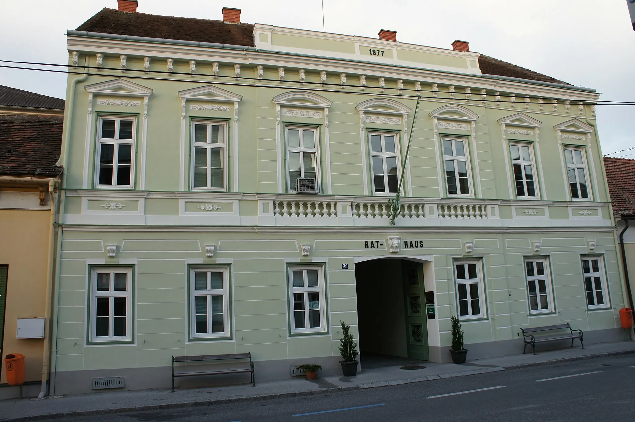
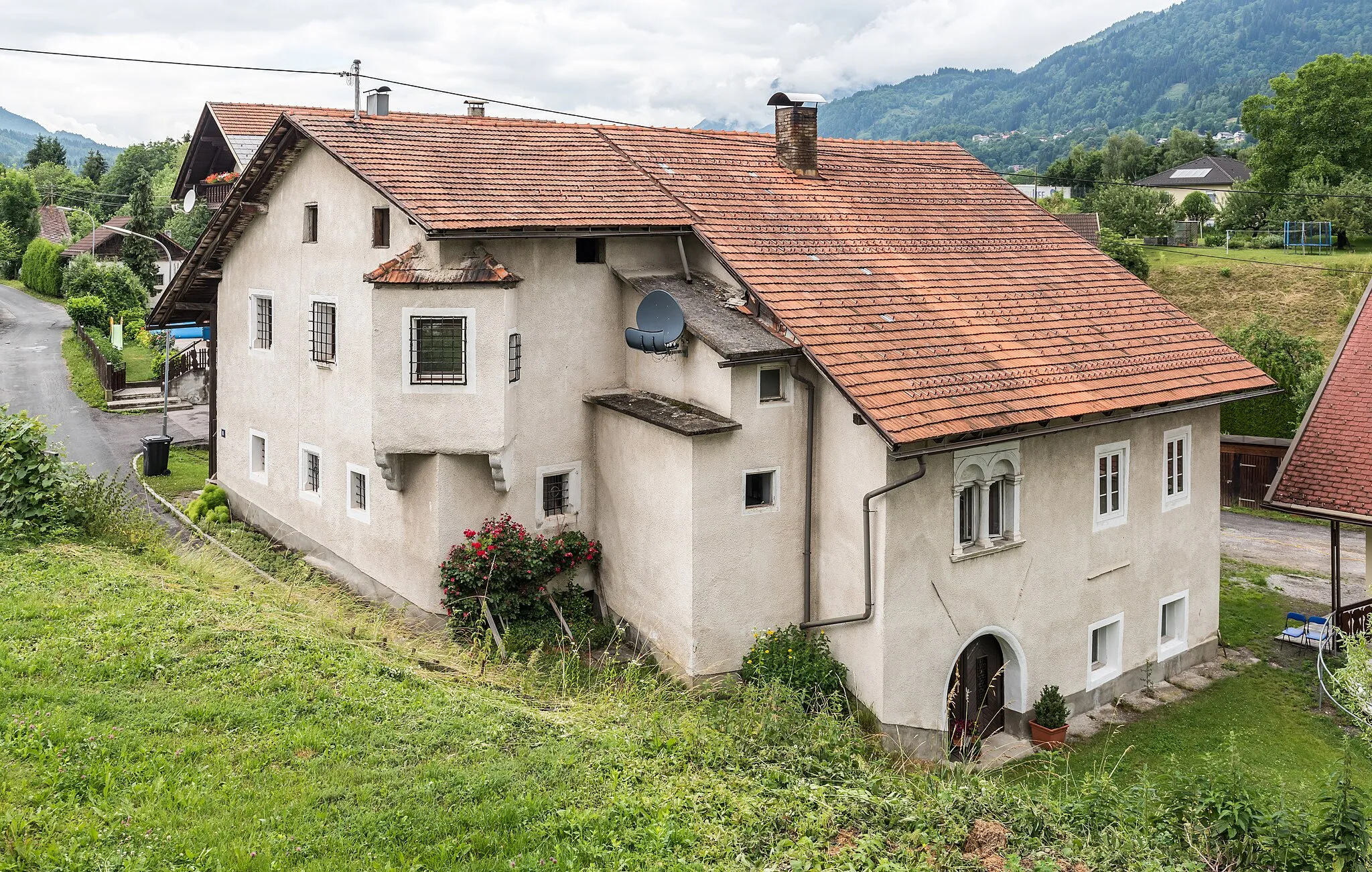
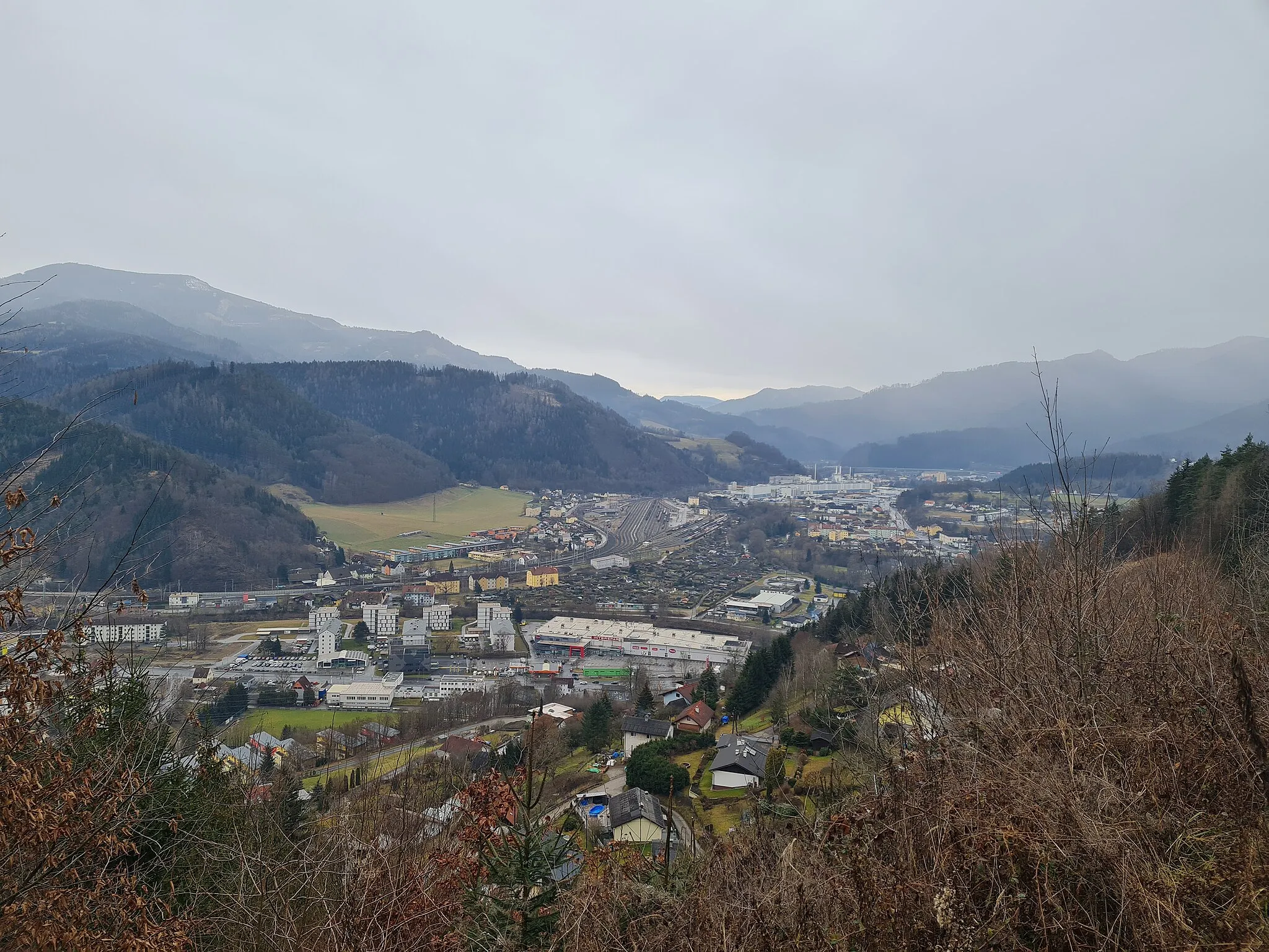
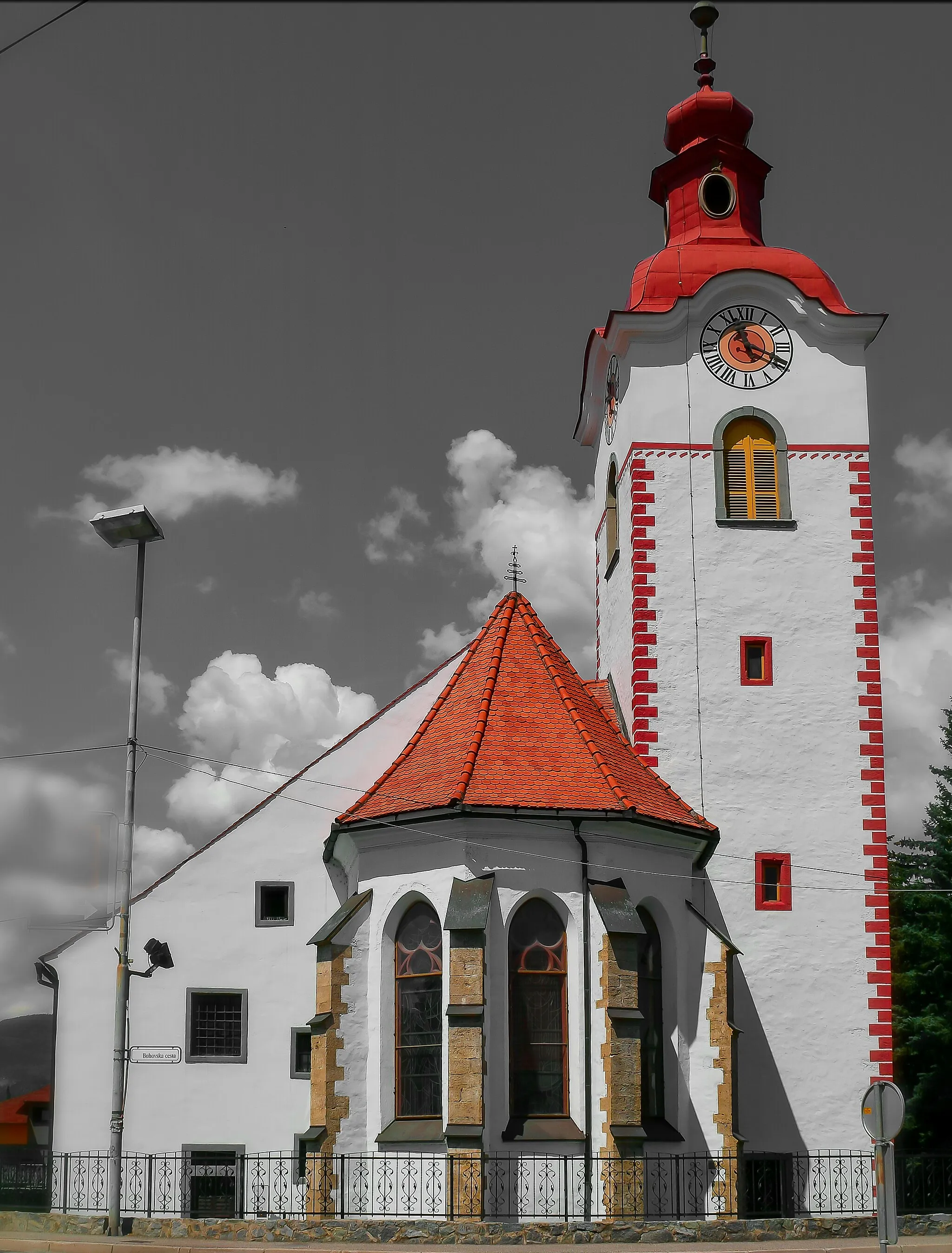
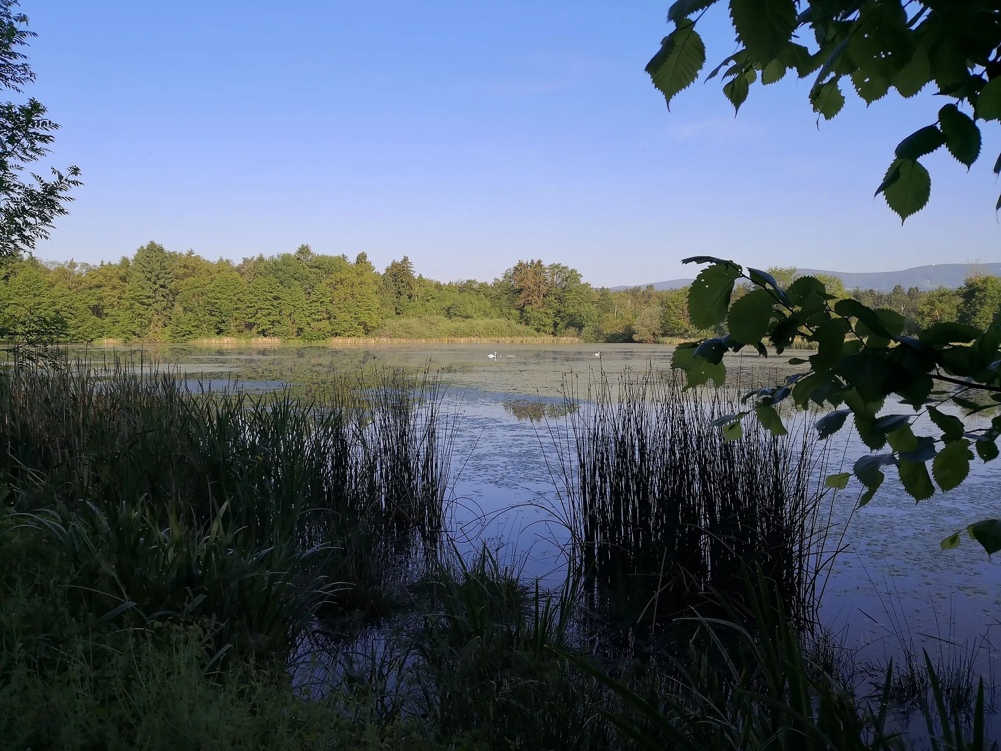
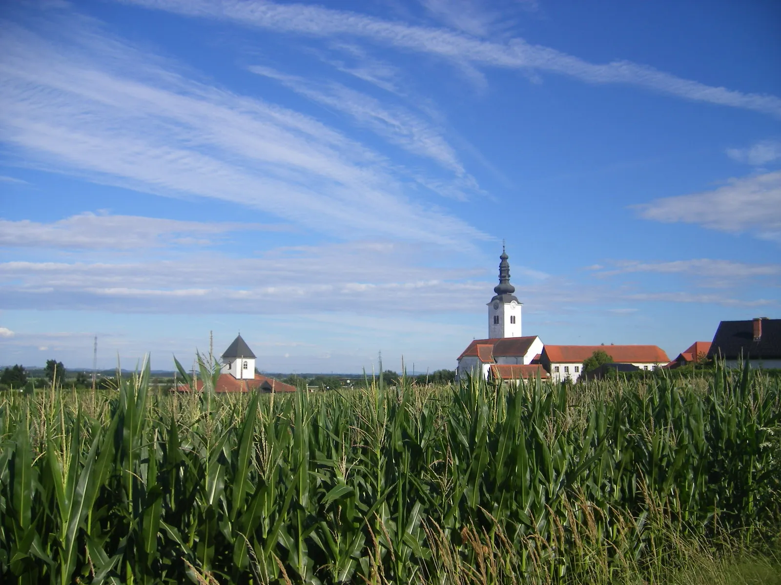
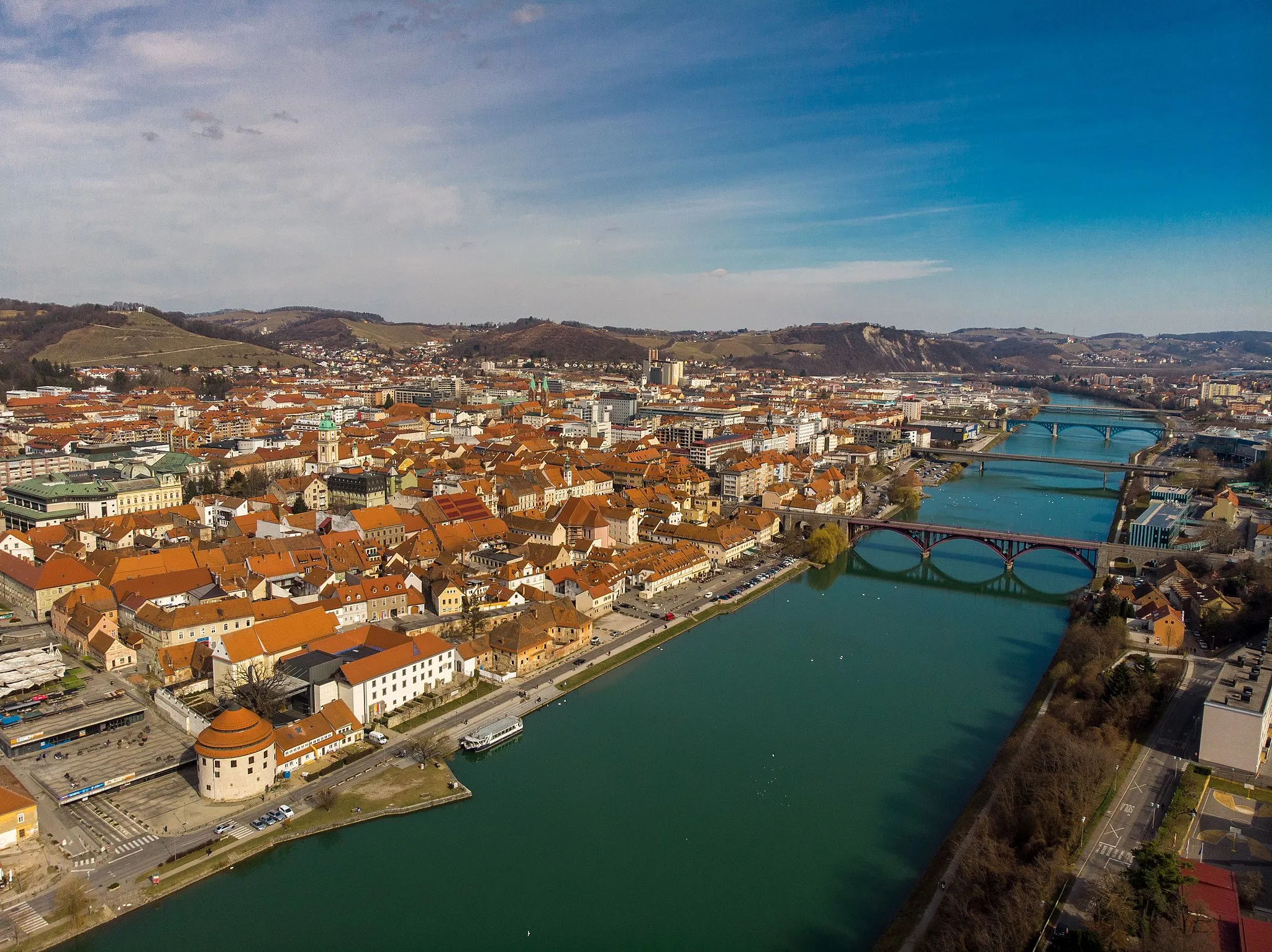
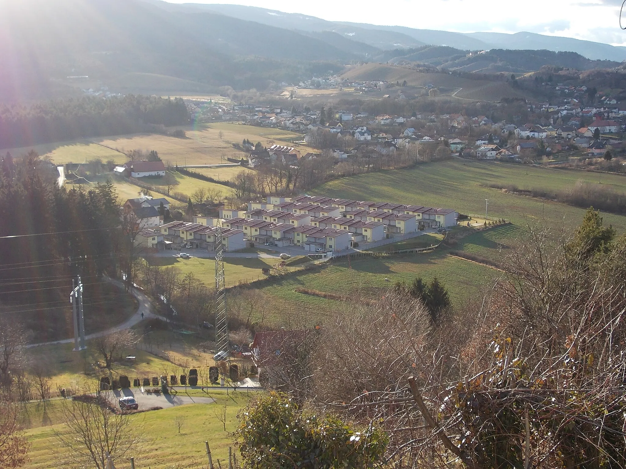
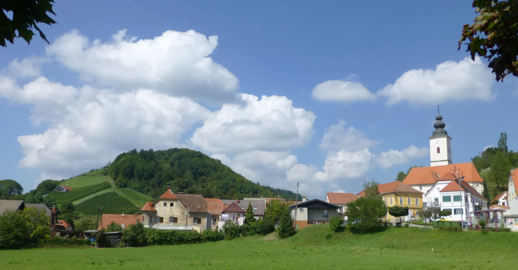
Spodnji Duplek is a locality situated in Vzhodna Slovenija, Slovenia. From a cyclist's perspective, Spodnji Duplek offers a pleasant and enjoyable cycling experience. The roads in Spodnji Duplek are generally in good condition and not too heavily trafficked, allowing cyclists to explore the area at their own pace. Cyclists can enjoy riding through the picturesque Slovenian countryside, passing by vineyards and charming villages. Nearby, there are several well-known cycling routes, such as the Drava River Trail, which provides cyclists with breathtaking views of the river and the surrounding nature. Overall, with its peaceful roads and beautiful landscapes, Spodnji Duplek is a great place for cyclists to relax and immerse themselves in the tranquility of the Slovenian countryside.
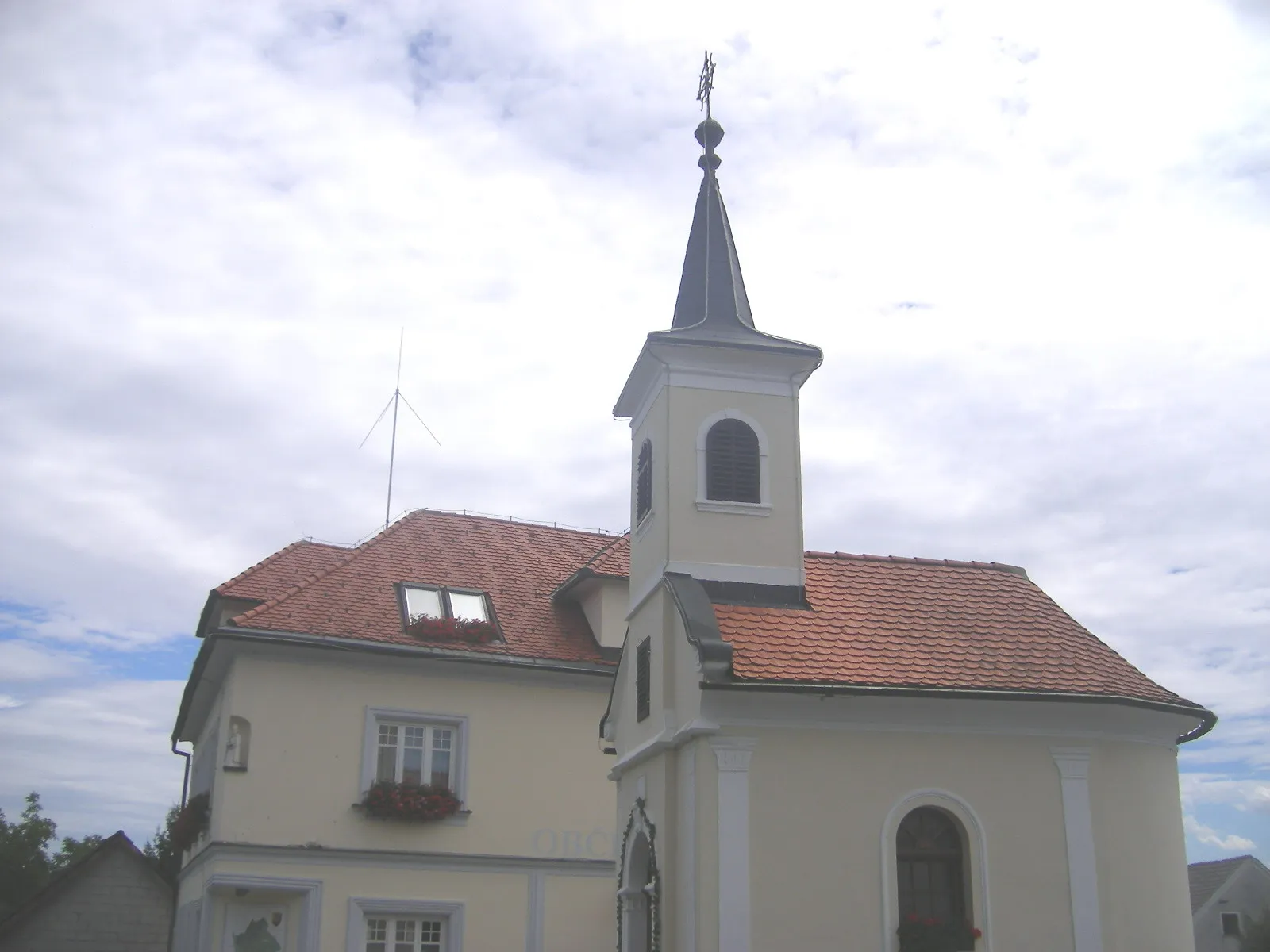
Rogatec Cycling Escape
Embark on a 133-kilometer road cycling adventure to Rogatec
Discover the enchanting region of Rogatec on this 133-kilometer road cycling adventure starting near Spodnji Duplek. With a total ascent of 1383 meters, this route offers a moderate level of difficulty suitable for experienced cyclists. Visit the charming town of Rogatec and explore its cultural and natural attractions. Enjoy the scenic countryside and the picturesque beauty of this region.
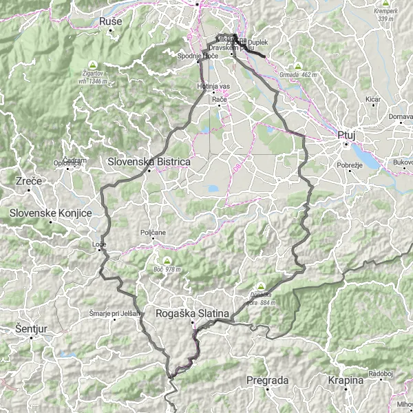
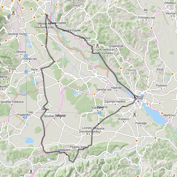
Ptuj Adventure
A thrilling route with diverse highlights
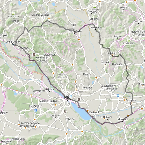
Ptuj Adventure is an exciting cycling route near Spodnji Duplek that offers diverse highlights and challenging terrains. With a total distance of 107 kilometers and an ascent of 1483 meters, this route is suitable for experienced cyclists seeking an adventurous ride. The route includes picturesque villages, historic landmarks, and stunning natural landscapes. Highlights along the route include Kungota pri Ptuju, Bregi, Rogatec, Gruča, Golnik, Farovec, Spodnja Polskava, and Rogoza. From quaint villages to scenic viewpoints, Ptuj Adventure provides a unique and unforgettable cycling experience.
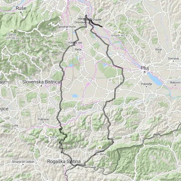
An immersive journey through Slovenia's countryside
Countryside Charm is a captivating cycling route near Spodnji Duplek that takes you on an immersive journey through Slovenia's beautiful countryside. With a total distance of 142 kilometers and an ascent of 1943 meters, this route is suitable for experienced cyclists looking to explore the diverse landscapes and cultural heritage of the region. The ride offers a mix of challenging climbs, scenic countryside views, and cultural attractions. Highlights along the route include Prepolje, Bregi, Kostel, Kunagora, Desinić, Palčnik, Vrtič, Slovenska Bistrica, Public park, and Rogoza. Immerse yourself in the scenic beauty and charm of Slovenia's countryside as you pedal through this incredible adventure.
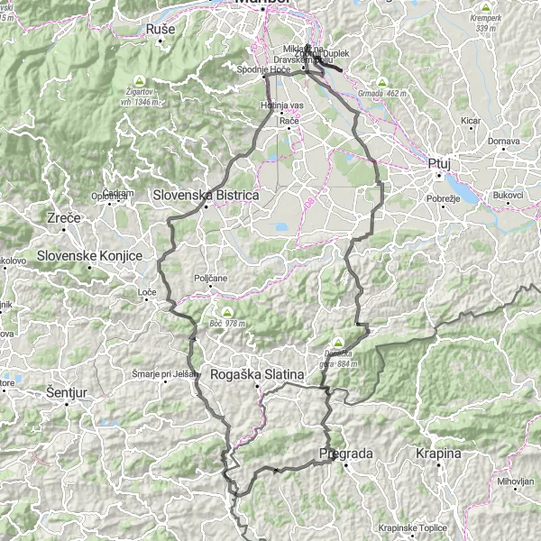
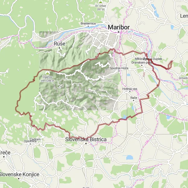
Duplek Loop
Challenging ride with stunning views
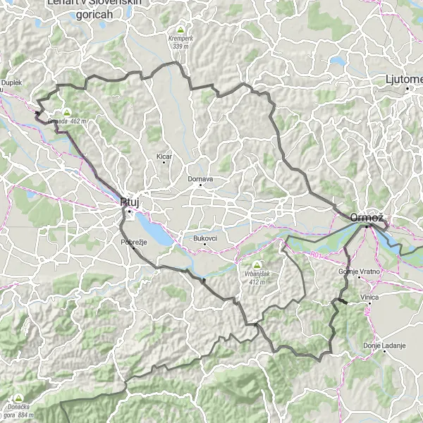
The Duplek Loop is a challenging and scenic cycling route in Vzhodna Slovenija, Slovenia. It offers stunning views of the surrounding countryside and takes riders through picturesque villages and beautiful natural landscapes. With a total distance of 113 kilometers and an ascent of 1281 meters, this ride is suitable for well-trained amateurs looking for a challenging adventure. The route is mainly on paved roads, making it ideal for road cyclists. Highlights along the route include Stražišče, Rucmanski vrh, Ormož, Gruškovski hum, Dravinjski vrh, Videm pri Ptuju, Areh, and Vurberk.
Discover the hidden gem Zavrh on this beautiful cycling route
Embark on a 71-kilometer road biking adventure starting near Spodnji Duplek. This route will take you to Zavrh, a hidden gem known for its natural beauty. With a moderate level of difficulty and 673 meters of ascent, this route is suitable for intermediate cyclists. Enjoy the scenic countryside and be captivated by the charm of Zavrh.
A peaceful ride through countryside charm
Rural Delights is a leisurely cycling route near Spodnji Duplek that offers a peaceful ride through the charming countryside. With a total distance of 68 kilometers and an ascent of 549 meters, this route is suitable for recreational cyclists looking to enjoy the scenic beauty of Vzhodna Slovenija. The ride takes you through picturesque villages and serene natural landscapes, providing a relaxing and refreshing experience. Highlights along the route include Vavtošek, Plintovec, Jedlovnik, Zgornja Kungota, and Dolnja Počehova. Immerse yourself in the rural charm of Slovenia as you cycle through idyllic scenes and enjoy the tranquility of the countryside.
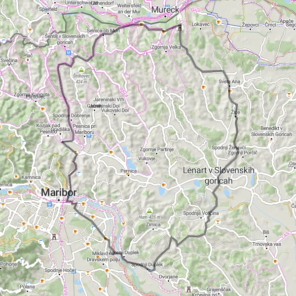
Conquer the challenging Slovenske gorice region on this epic 168-kilometer road cycling route.
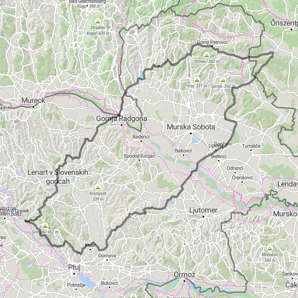
If you're an experienced cyclist looking for an epic challenge, this 168-kilometer road cycling route is perfect for you. Starting near Spodnji Duplek, this loop takes you through the stunning Slovenske gorice region. With a difficult ascent of 2007 meters, this route offers a truly thrilling adventure. Discover the charming towns, picturesque vineyards, and rolling hills of the Slovenske gorice region.
A scenic ride in the rolling hills
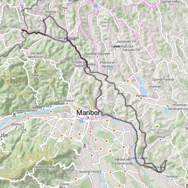
Hillside Adventure is a delightful cycling route near Spodnji Duplek that takes you on a scenic ride through the rolling hills of Vzhodna Slovenija. With a total distance of 62 kilometers and an ascent of 398 meters, this route is suitable for intermediate cyclists looking for a mix of challenging climbs and enjoyable descents. The ride offers breathtaking views of the surrounding countryside and takes you through charming villages and peaceful rural landscapes. Highlights along the route include Hum, Krča, Šikole, Dobrovce, and Dogoše. Embrace the beauty of the Slovenian countryside and enjoy the picturesque vistas as you pedal through this unforgettable adventure.
Loop to Stolni vrh
Explore the picturesque route with a challenging ascent to Stolni vrh
This scenic round-trip route starts near Spodnji Duplek and takes you through the beautiful Slovenian countryside. It features a challenging ascent to Stolni vrh, offering stunning views of the surrounding landscape. The route covers a distance of 72 kilometers with a total ascent of 942 meters. It is suitable for road biking enthusiasts seeking a moderate level of difficulty.
Embark on a thrilling gravel adventure to Veliko Tinje
Join this exciting gravel adventure starting near Spodnji Duplek. Experience the thrill of off-road cycling as you explore the scenic Slovenian countryside. This 92-kilometer route features an elevation gain of 1786 meters, offering a challenging and exciting ride. One of the highlights of this route is the visit to Veliko Tinje, a charming village with a rich cultural heritage.
Cycling routes nearby:
Nearby regions: