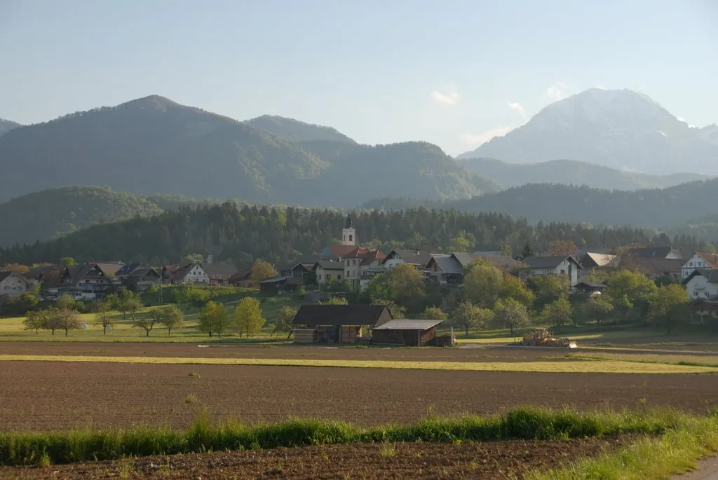
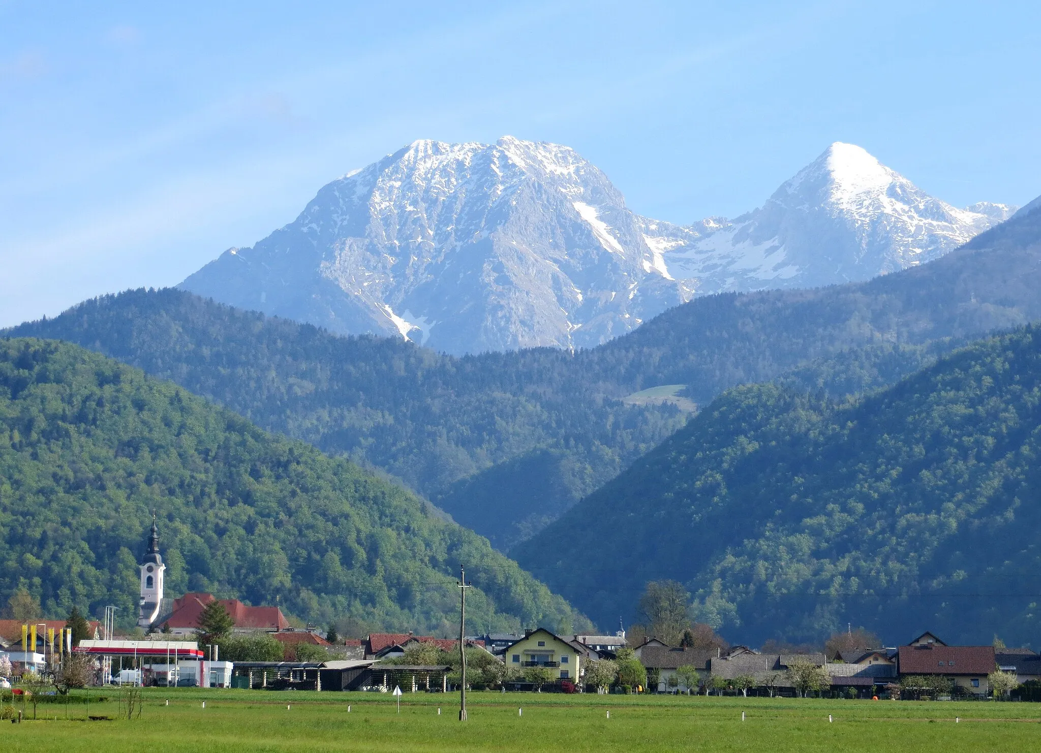
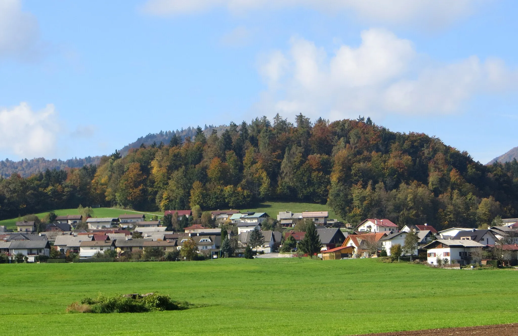
Cycling through vineyards and ascending Stari vrh in Šenčur, Slovenia.
Cycling routes from Sencur
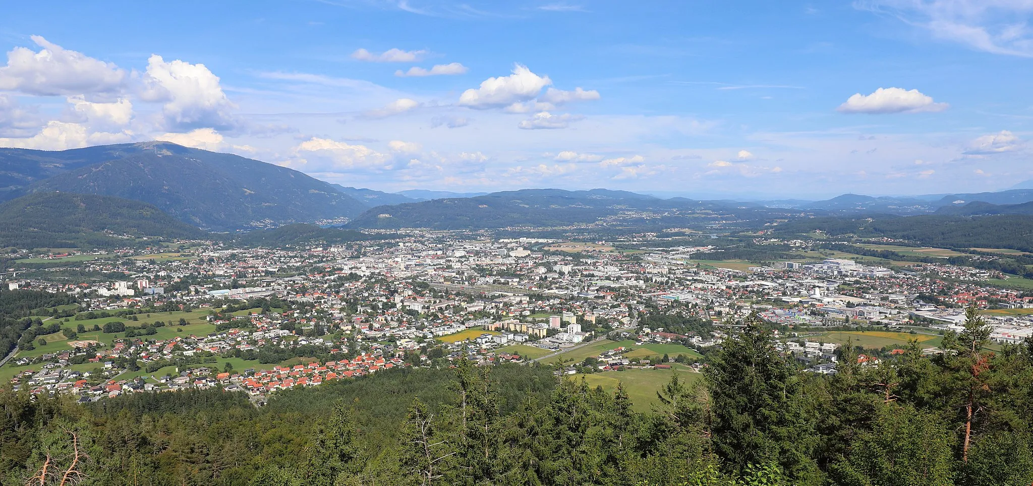
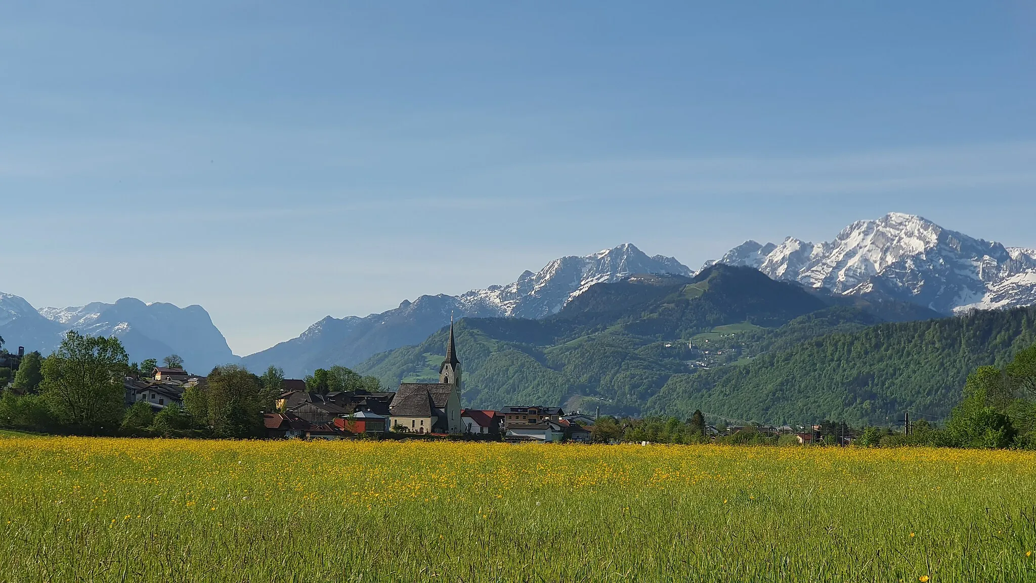
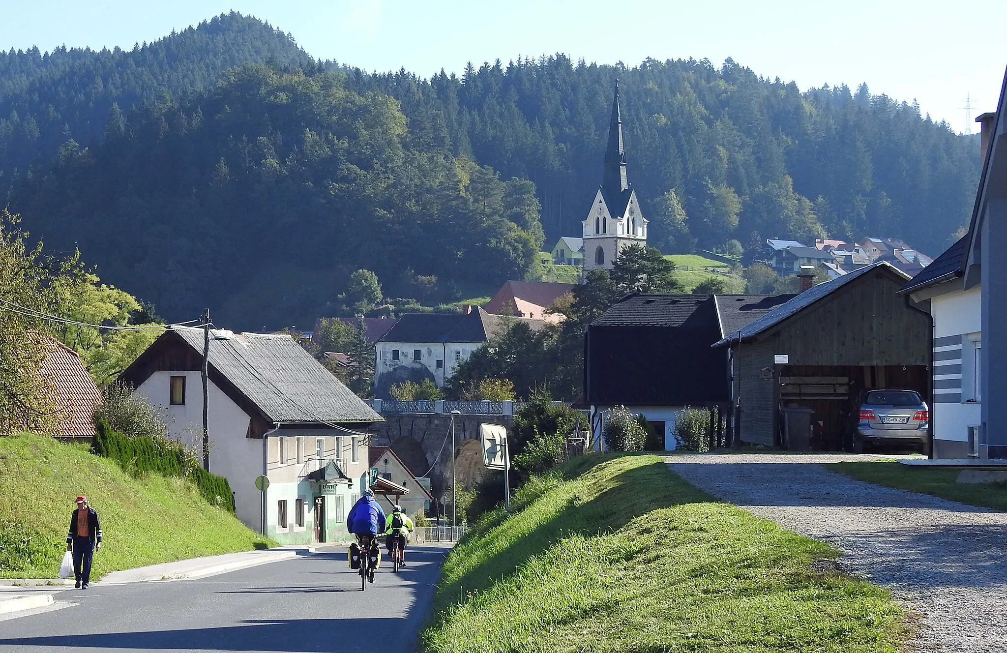
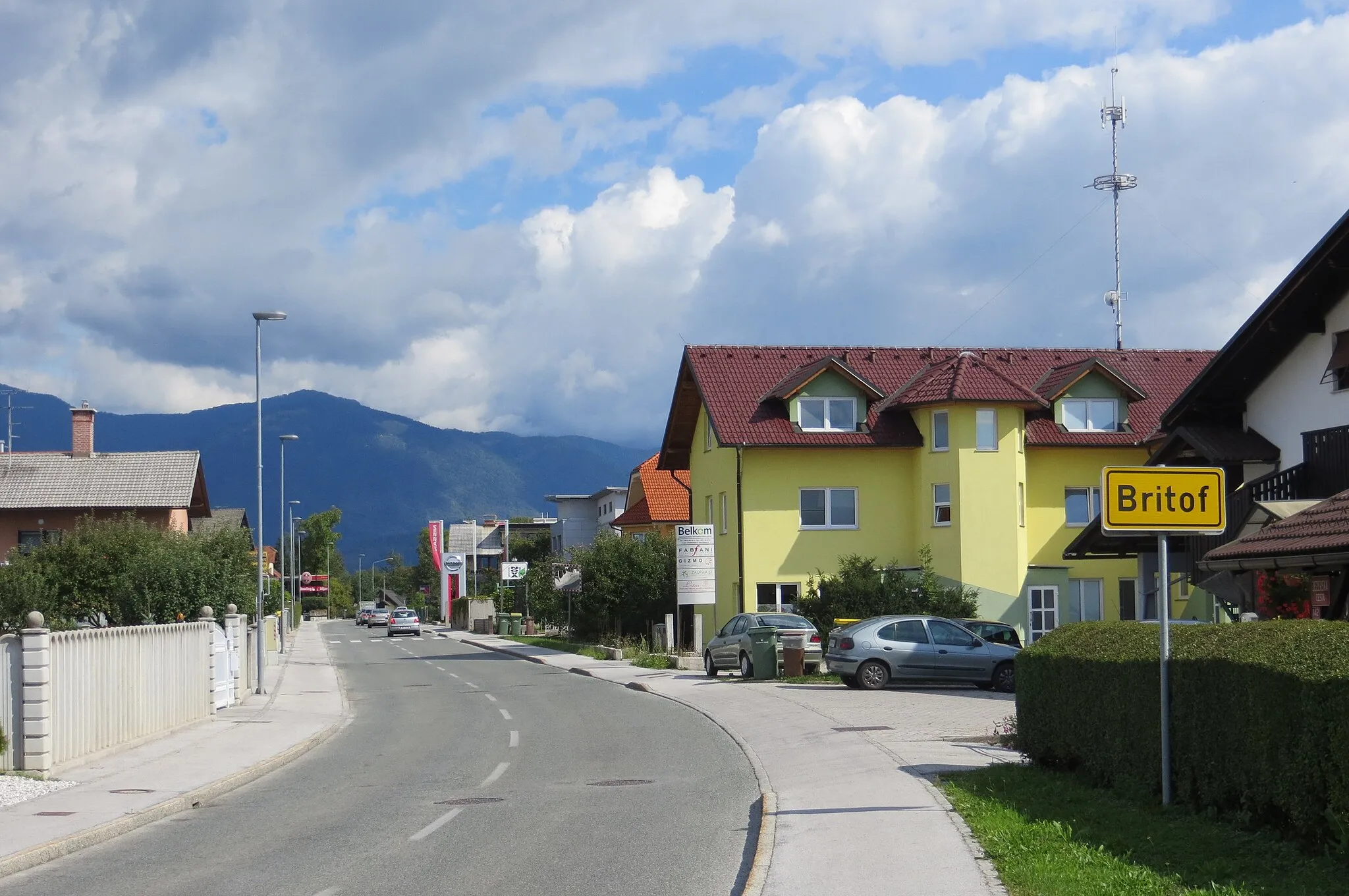
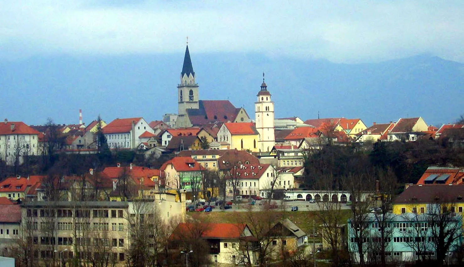
Šenčur is a locality located in Zahodna Slovenija, Slovenia. Road cyclists will find a variety of routes that pass through scenic landscapes, including vineyards and beautiful countryside. While gravel cycling opportunities may be limited in the immediate vicinity, nearby forests offer potential for off-road exploration. One of the well-known climbs in the area is the Stari vrh, offering a challenging ascent and rewarding views from the top. Cyclists can also visit nearby Škofja Loka, a medieval town with a rich history and cultural heritage. Overall, Šenčur provides a pleasant cycling experience with its scenic landscapes and opportunities for cultural exploration.

Legendary climbs and panoramic views
Embark on a road cycling adventure with this 125-kilometer route that encompasses legendary climbs and provides scenic views of the surrounding landscapes. With a total elevation gain of 3124 meters, this route is suitable for experienced cyclists. Highlights include Vršič, one of the most famous climbs in Slovenia, and Golnik, known for its panoramic views. The difficulty level of this route is 5 out of 5, suitable for highly trained amateurs.
Scenic beauty and charming villages
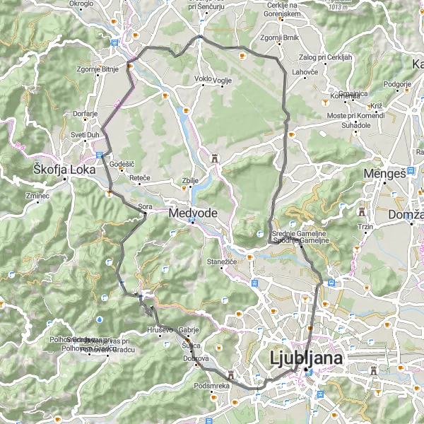
Explore the scenic beauty and charming villages near Šenčur with this 84-kilometer road route. With a total elevation gain of 513 meters, this route is suitable for beginner and intermediate cyclists. Highlights include Gorica, known for its picturesque landscapes, and Zgornja Zadobrova, a hidden gem with traditional charm. The difficulty level of this route is 3 out of 5, suitable for moderately trained amateurs.
Šenčur Gravel Cycling Route
Explore the rugged beauty of Šenčur's gravel trails
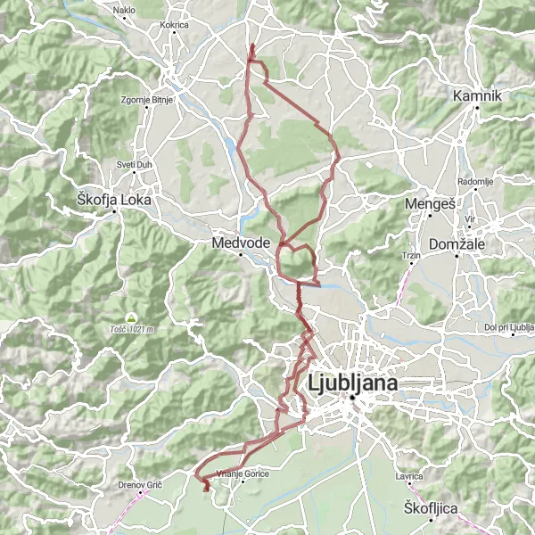
This gravel cycling route near Šenčur takes you on an adventurous journey through the rugged Slovenian landscape. With a total distance of 33 kilometers and an ascent of 259 meters, this route is suitable for gravel enthusiasts looking for a challenging ride. Immerse yourself in nature as you traverse off-road paths and enjoy the peaceful surroundings.
Conquer epic climbs and enjoy breathtaking views
Embark on an epic road cycling journey near Šenčur, exploring some of the most challenging climbs and awe-inspiring vistas Slovenia has to offer. With a total distance of 165 kilometers and an ascent of 3995 meters, this route is recommended for experienced and well-trained cyclists. Take on legendary climbs, enjoy the thrill of the descents, and soak in the stunning scenery as you conquer the Slovenian roads.
Šenčur Road Cycling Route
Ride through the picturesque Slovenian countryside
This road cycling route near Šenčur takes you through the scenic Slovenian countryside, offering beautiful views of rolling hills and charming villages. With a total distance of 71 kilometers and an ascent of 730 meters, this route is suitable for well-trained amateur cyclists. Enjoy the peaceful surroundings and the sense of tranquility as you pedal through the countryside.
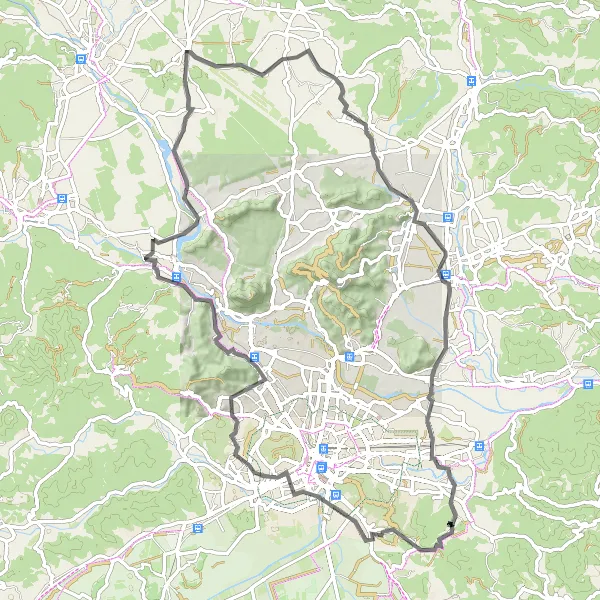
Šenčur Gravel Cycling Route

Discover scenic off-road paths near Šenčur
This gravel cycling route near Šenčur takes you on a scenic ride through the Slovenian countryside. With a total distance of 39 kilometers and an ascent of 501 meters, this route offers a mix of challenging climbs and rewarding descents. Enjoy the views of rolling hills and charming villages as you explore the off-road paths.

Exploring scenic countryside landscapes
Experience the scenic countryside landscapes near Šenčur with this 62-kilometer gravel route. With a total ascent of 309 meters, this route is suitable for beginner and intermediate cyclists. Highlights include Homec, a charming village known for its traditional architecture, and Bišče, a hidden gem with pristine nature and tranquility. The difficulty level of this route is 2 out of 5, suitable for moderately trained amateurs.
Exploring hidden gems of Šenčur surroundings
Discover the hidden gems of Šenčur's surroundings with this gravel route spanning across 86 kilometers and with an elevation gain of 500 meters. Repenjski Hrib, known for its charming vineyards and panoramic views, and Tičnica, a hidden gem in the heart of nature, are among the highlights of this route. The difficulty level of this route is 2 out of 5, suitable for moderately trained amateurs.

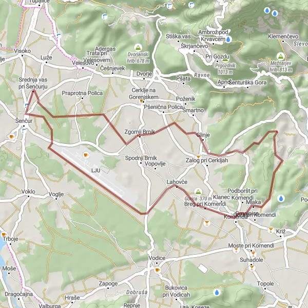
Forest trails and mountain peaks
This gravel route takes you through the beautiful forests and to the stunning mountain peaks near Šenčur. With a total ascent of 2180 meters and a distance of 87 kilometers, it offers a challenging adventure for gravel cycling enthusiasts. The route includes highlights such as Lavtarski Vrh, known for its panoramic views, and Rovtarica, a picturesque village surrounded by mountains. The difficulty level of this route is 4 out of 5, suitable for well-trained amateurs.

Experience a challenging ride with captivating scenery
This road cycling route near Šenčur offers a challenging ride amidst breathtaking scenery. Covering a total distance of 119 kilometers and featuring an ascent of 1141 meters, this route provides a mix of rolling hills and exhilarating descents. Enjoy the panoramic views, explore charming villages along the way, and push your physical limits on this exhilarating cycling adventure.
Cycling routes nearby:


Nearby regions: