Discover the beauty of urban and rural cycling in Teckomatorp
Cycling routes from Teckomatorp
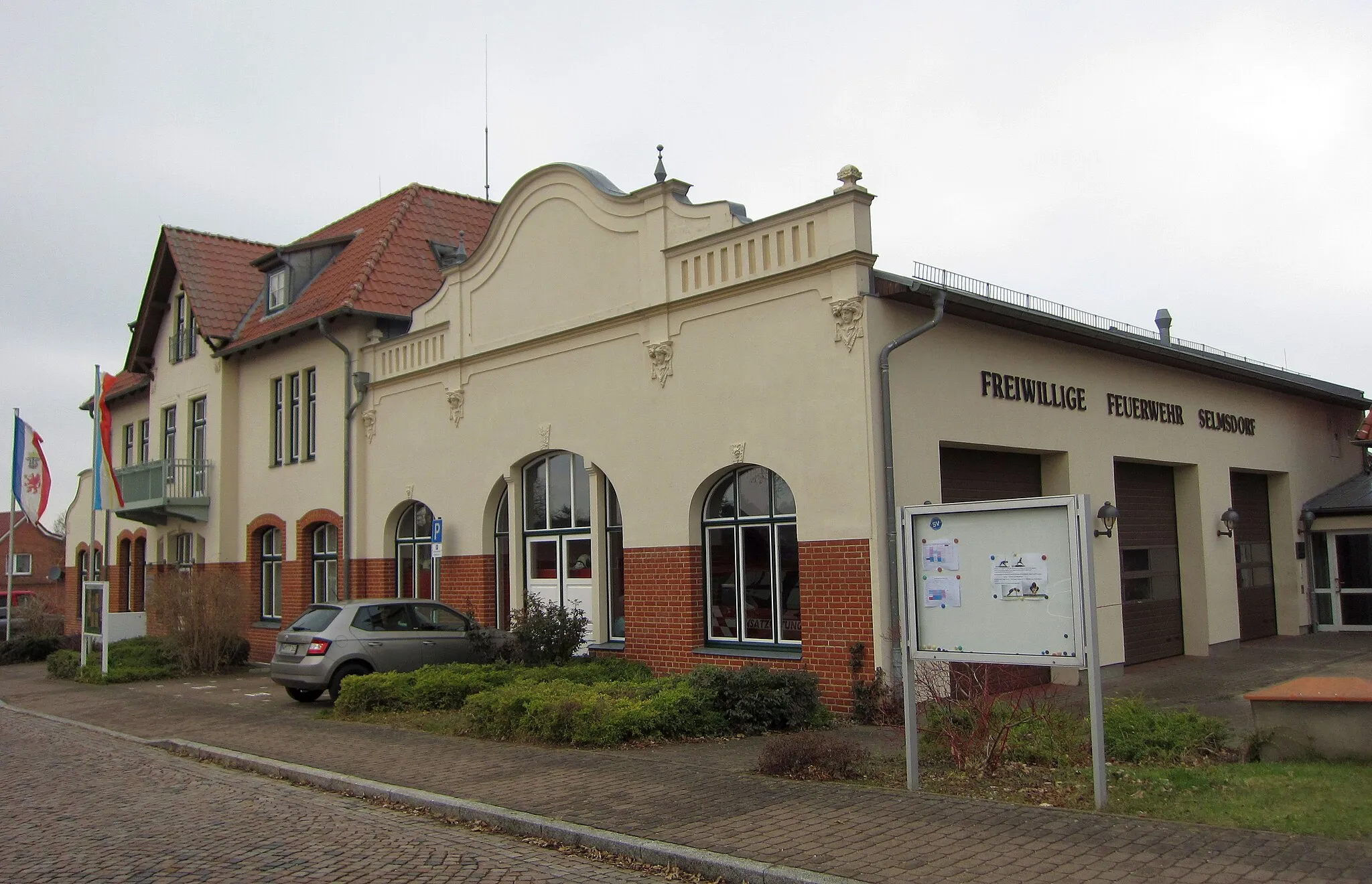
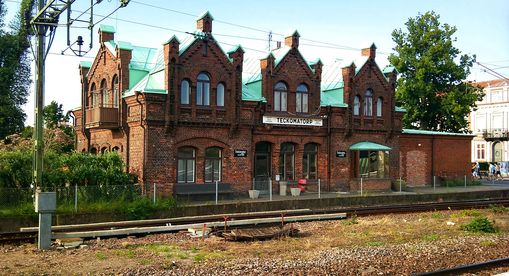
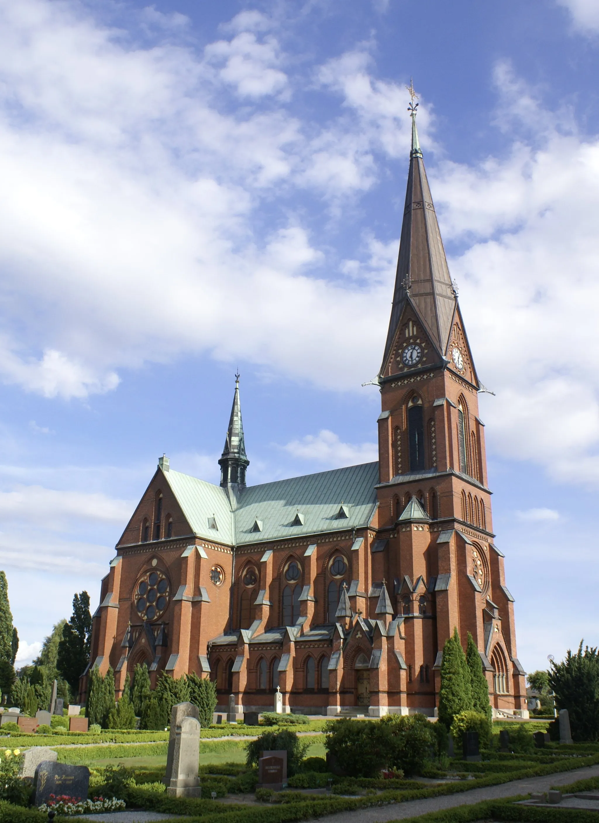
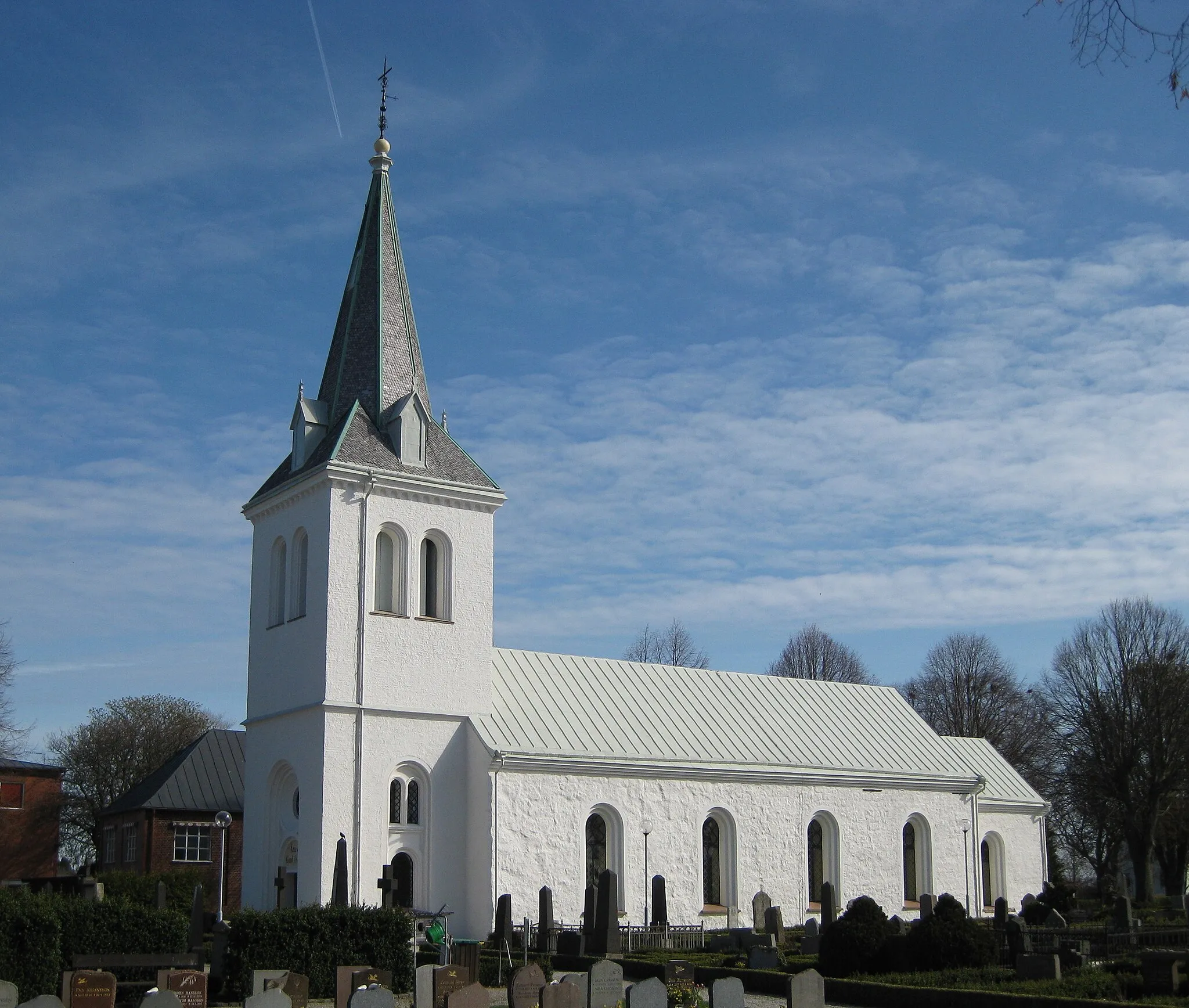
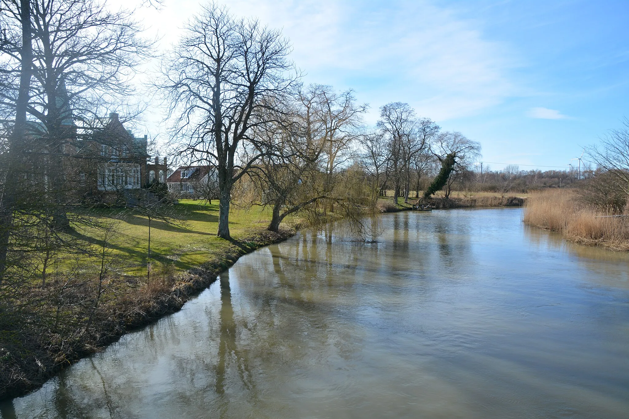
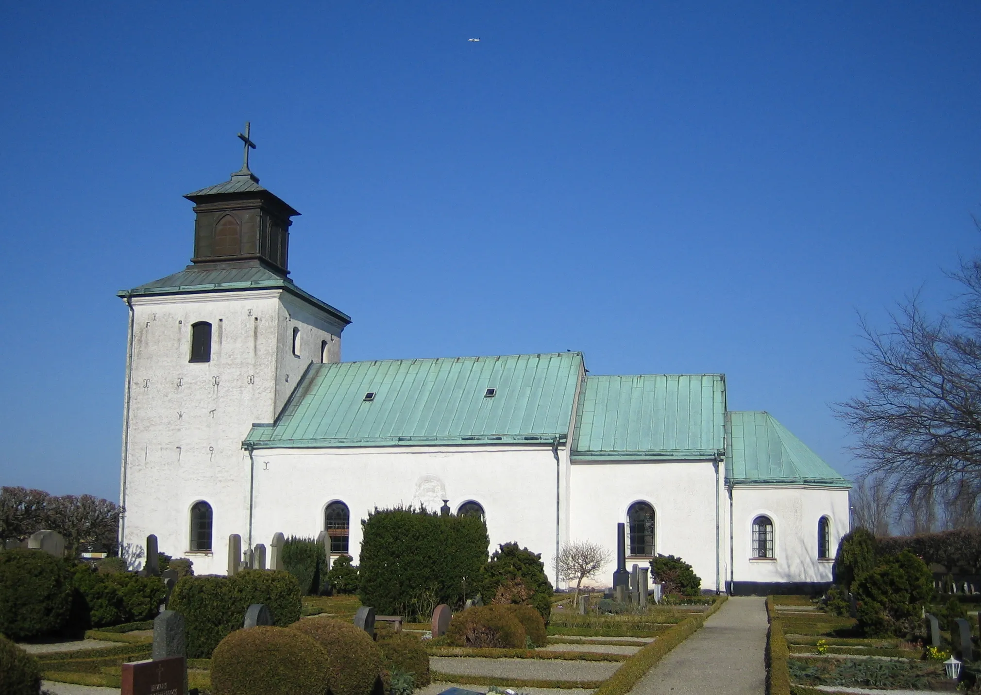
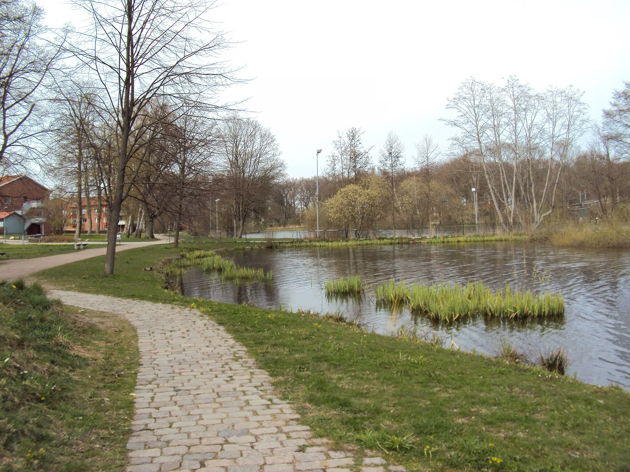
Teckomatorp is a locality located in the Sydsverige region of Sweden. As a cyclist, Teckomatorp offers a mix of urban and rural routes, providing a diverse range of cycling experiences. Cyclists can enjoy pedaling through the town's streets or explore the surrounding countryside with its picturesque landscapes. Teckomatorp also offers easy access to nearby cycling paths, such as the famous Kullaleden trail. For those seeking more challenging rides, the region's hilly terrain provides opportunities for scenic climbs. With its variety of routes and natural surroundings, Teckomatorp is a great destination for cyclists of all levels.
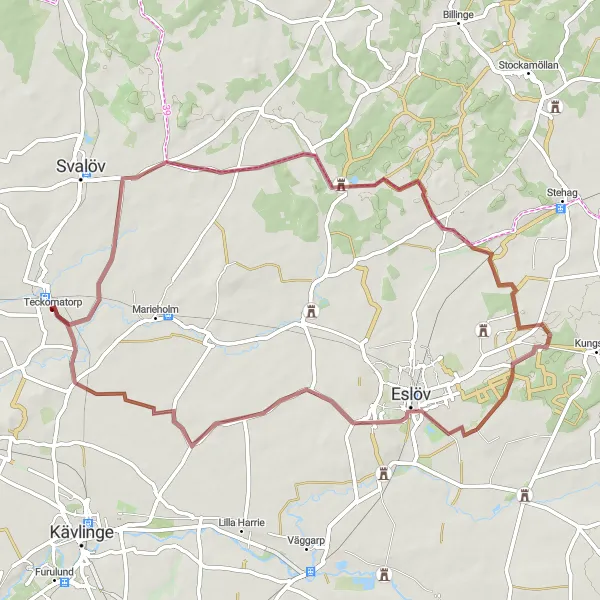
Explore the beautiful gravel roads from Teckomatorp to Torrlösa
Embark on a scenic cycling adventure from Teckomatorp to Torrlösa, covering a distance of 56 km with an ascent of 143 meters. This gravel route offers stunning views of the surrounding countryside and takes you through picturesque villages along the way.
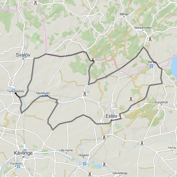
Cycle through scenic landscapes from Teckomatorp to Gissleberga
Embark on a 70 km road cycling route from Teckomatorp to Gissleberga, featuring an ascent of 220 meters. Enjoy breathtaking views of the countryside and discover charming villages along the way.
Experience the adrenaline on Teckomatorp to Norrvidinge gravel route
Embark on an adventure-packed 67 km gravel cycling route from Teckomatorp to Norrvidinge. With an ascent of 174 meters, this route will take you through exhilarating terrain and provide breathtaking views of the Swedish countryside.
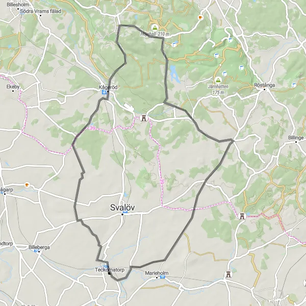
Experience the scenic beauty of this road route
This scenic road route starting near Teckomatorp covers 58 kilometers with an ascent of 330 meters. It is suitable for well-trained amateurs seeking a picturesque ride. Highlights include the Duveke at 14 kilometers, Stenestad at 24 kilometers, Höjehall at 28 kilometers, and Norra Skrävlinge at 55 kilometers.
Discover the enchanting route from Teckomatorp to Trollenäs
Escape into nature as you cycle from Teckomatorp to Trollenäs on this 62 km gravel route, featuring a challenging ascent of 310 meters. Marvel at the stunning landscapes and immerse yourself in the tranquility of the forests along the way.
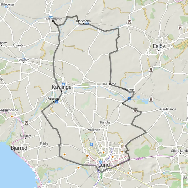
Enjoy the scenic beauty on Teckomatorp to Furulund road route
Cycle through stunning landscapes on this 68 km road route from Teckomatorp to Furulund. With an ascent of 182 meters, this route offers breathtaking views of the Swedish countryside and takes you through charming villages along the way.
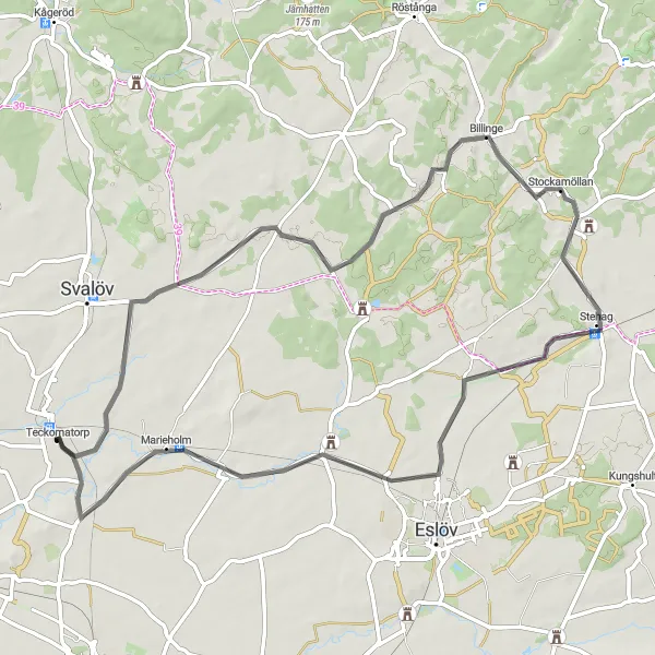
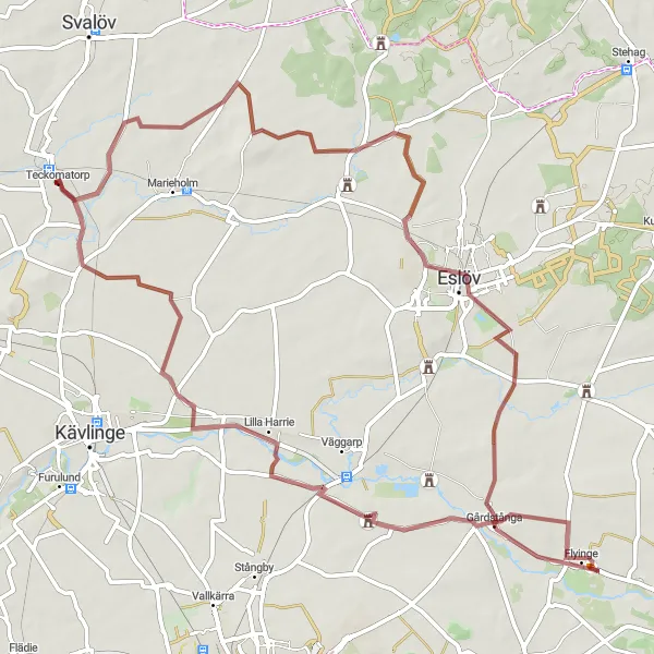
Discover historic castles along this road route
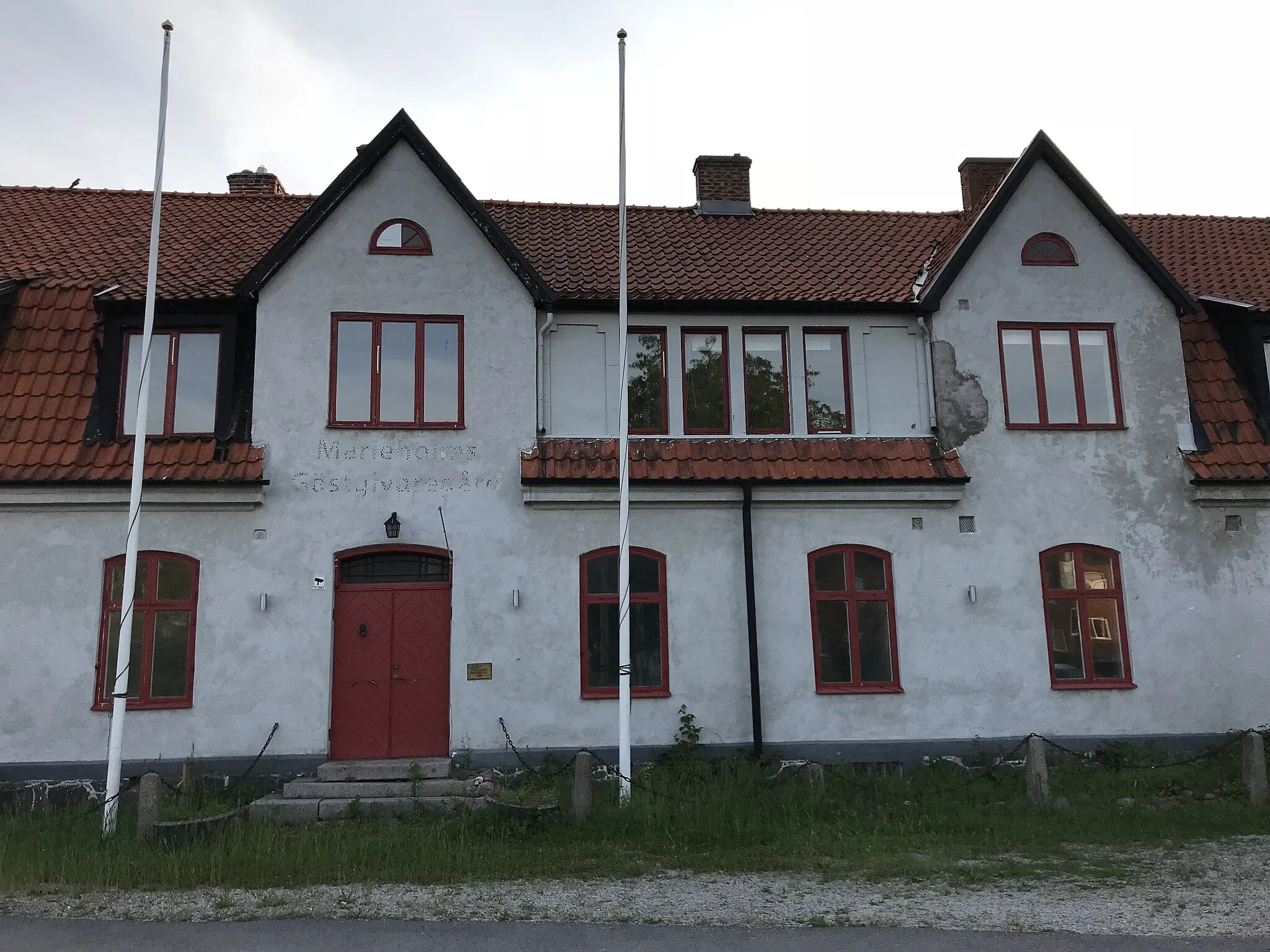
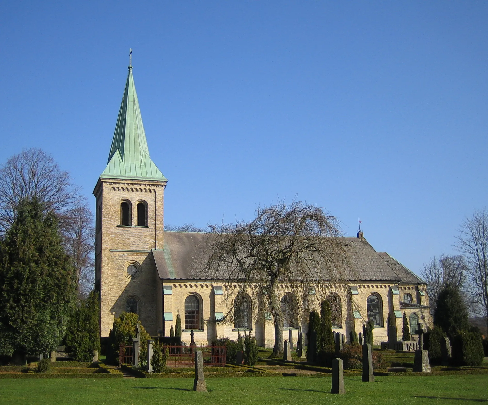
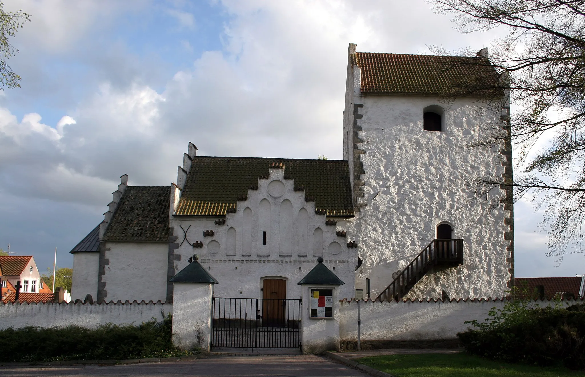
This road route near Teckomatorp takes you on a 60-kilometer journey with an ascent of 268 meters, showcasing the area's rich history through its magnificent castles. Highlights along the route include Torrlösa at 7 kilometers, Billinge at 24 kilometers, Rönneholms slott at 29 kilometers, Trollenäs slott at 47 kilometers, Marieholm at 53 kilometers, and Gissleberga at 58 kilometers.
The Picturesque Road Route
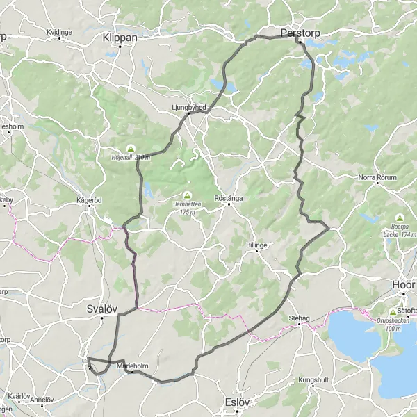
Explore the picturesque countryside on this road route
This picturesque road route starting near Teckomatorp covers 100 kilometers with an ascent of 557 meters. The route is suited for well-trained amateurs and offers scenic beauty throughout. Highlights along the route include Torrlösa at 7 kilometers, Ljungbyhed at 31 kilometers, Perstorp at 45 kilometers, Hallaröd at 68 kilometers, Västra Strö at 86 kilometers, and Marieholm at 94 kilometers.
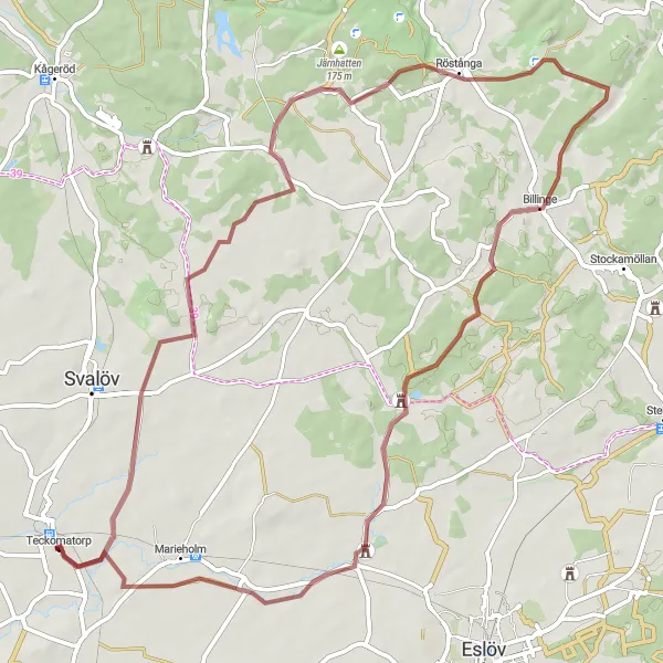
The Scenic Gravel Route
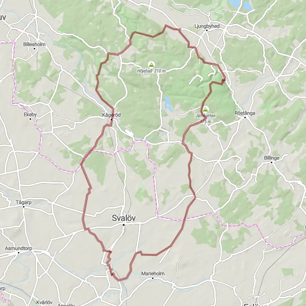
A picturesque gravel route offering stunning views
This scenic gravel route near Teckomatorp takes you through beautiful landscapes and provides stunning views along the way. With an ascent of 556 meters and a distance of 72 kilometers, it is suitable for well-trained amateurs. The route is known for its distinctive highlights, including the Duveke at 15 kilometers, Stenestad at 27 kilometers, Skäralid at 42 kilometers, Järnhatten at 48 kilometers, and Norra Skrävlinge at 69 kilometers.
The Challenging Road Route
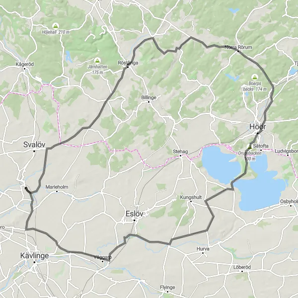
Challenge yourself with this hilly road route
This challenging road route near Teckomatorp covers 102 kilometers with an ascent of 423 meters. It is suited for well-trained amateurs looking for a challenge. Along the route, you will encounter various highlights, including Torrlösa at 7 kilometers, Röstånga at 22 kilometers, Norra Rörum at 41 kilometers, Orupsbacken at 56 kilometers, Skarhults slott at 75 kilometers, Stora Harrie at 92 kilometers, and Gissleberga at 101 kilometers.
Cycling routes nearby:
Nearby regions: