Scenic cycling routes and proximity to Jura Mountains in Nordwestschweiz, Switzerland.
Cycling routes from Oberrohrdorf
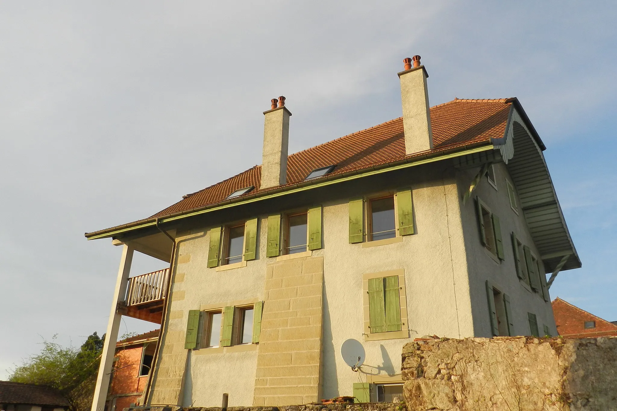
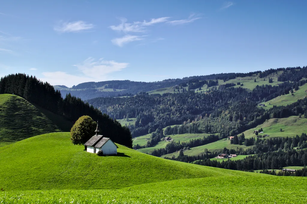
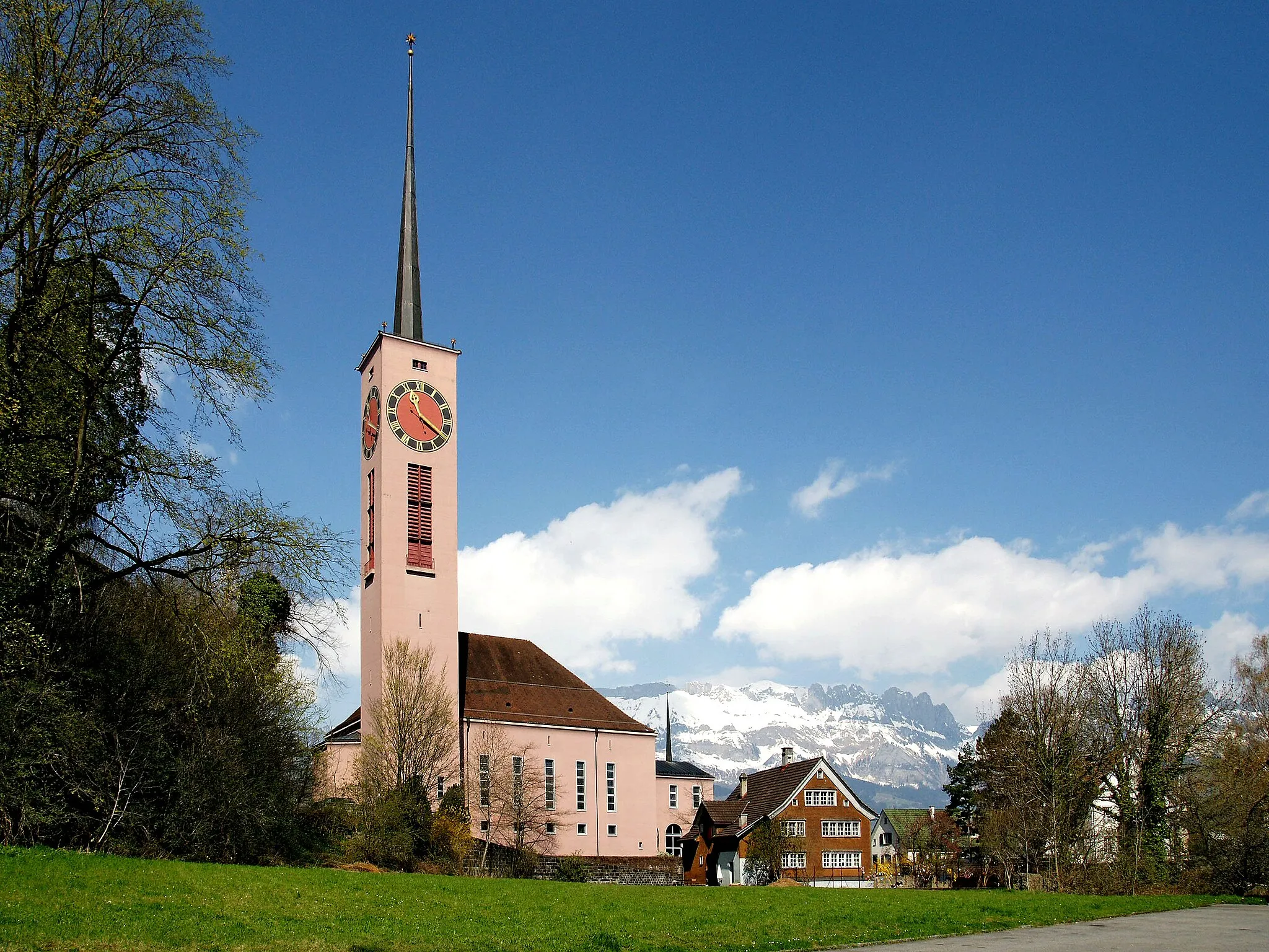
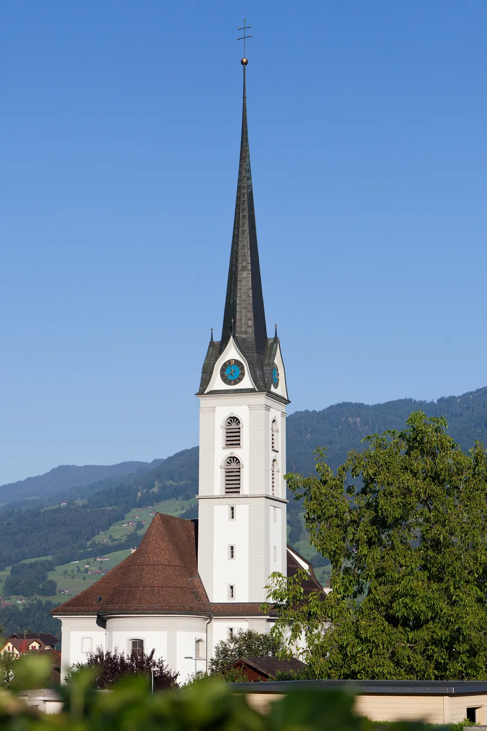
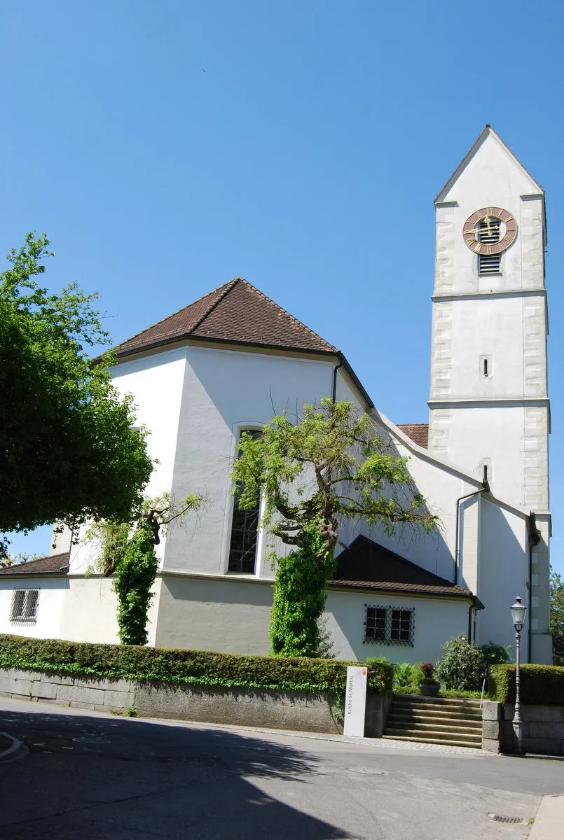
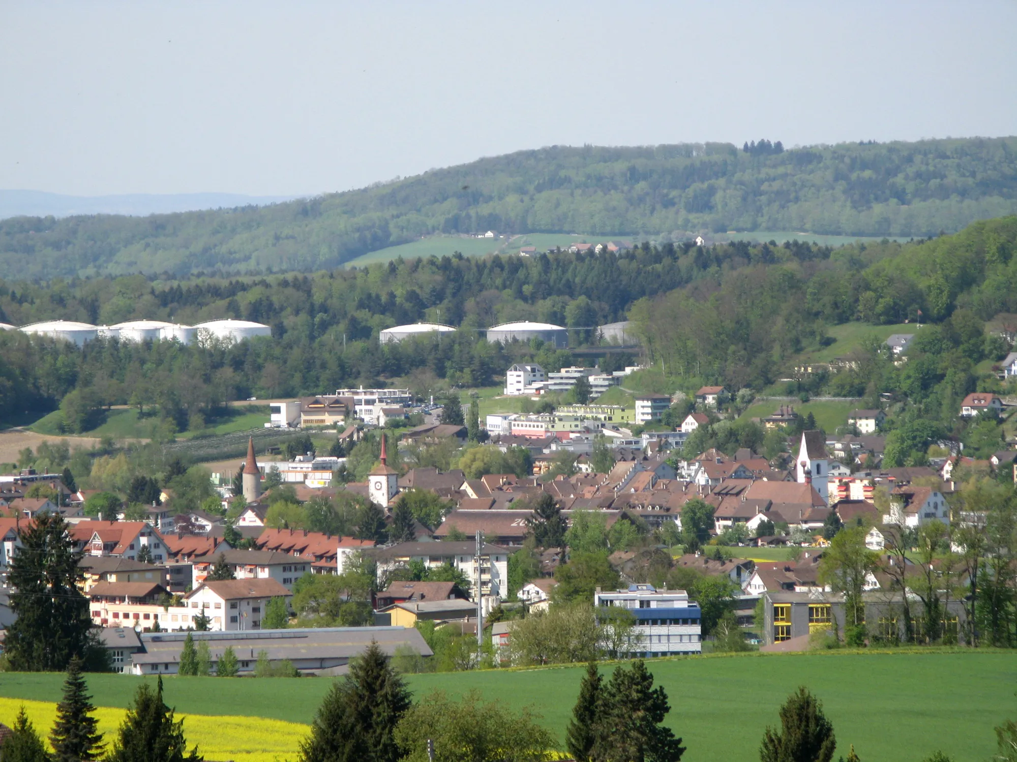
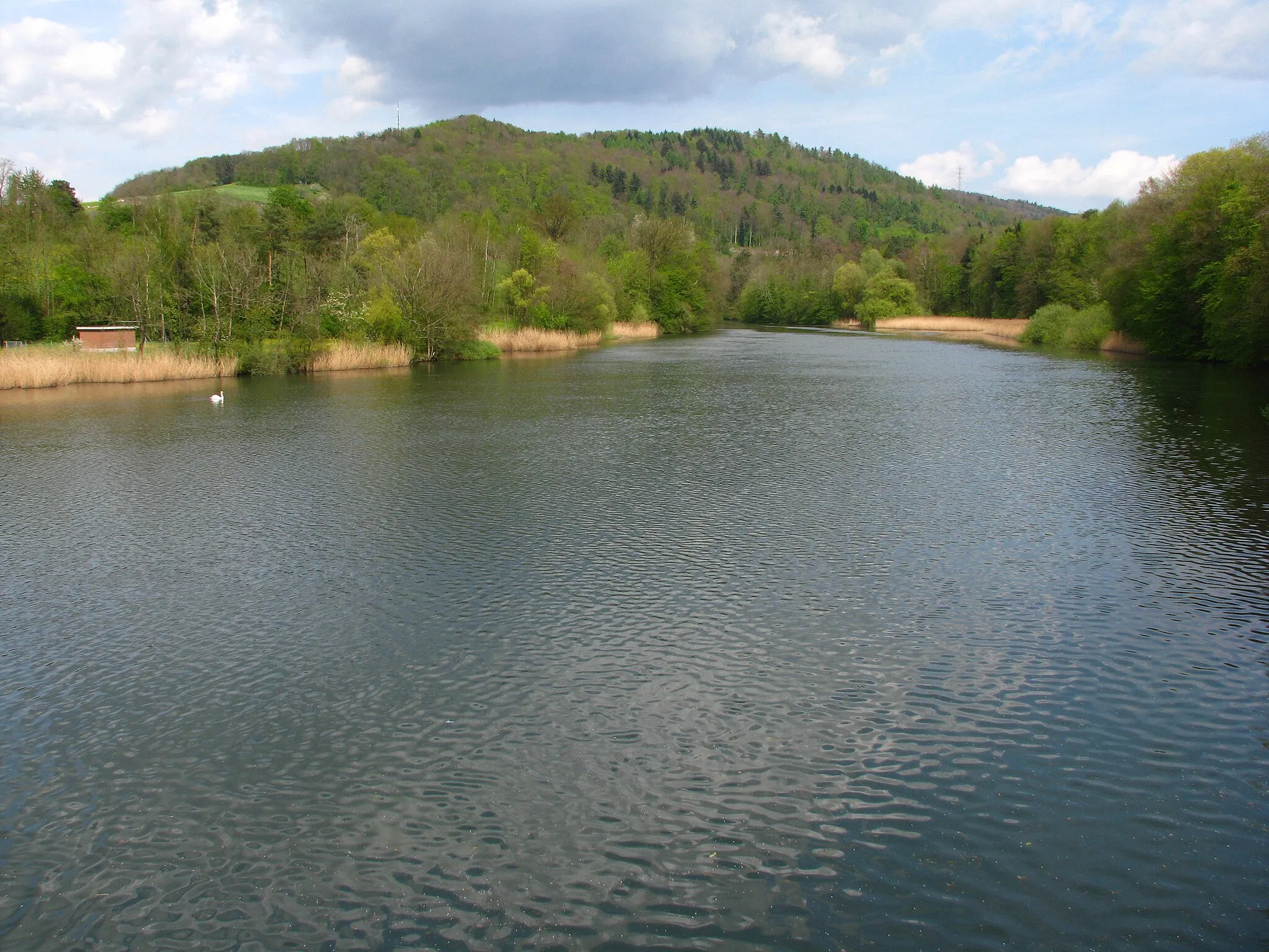
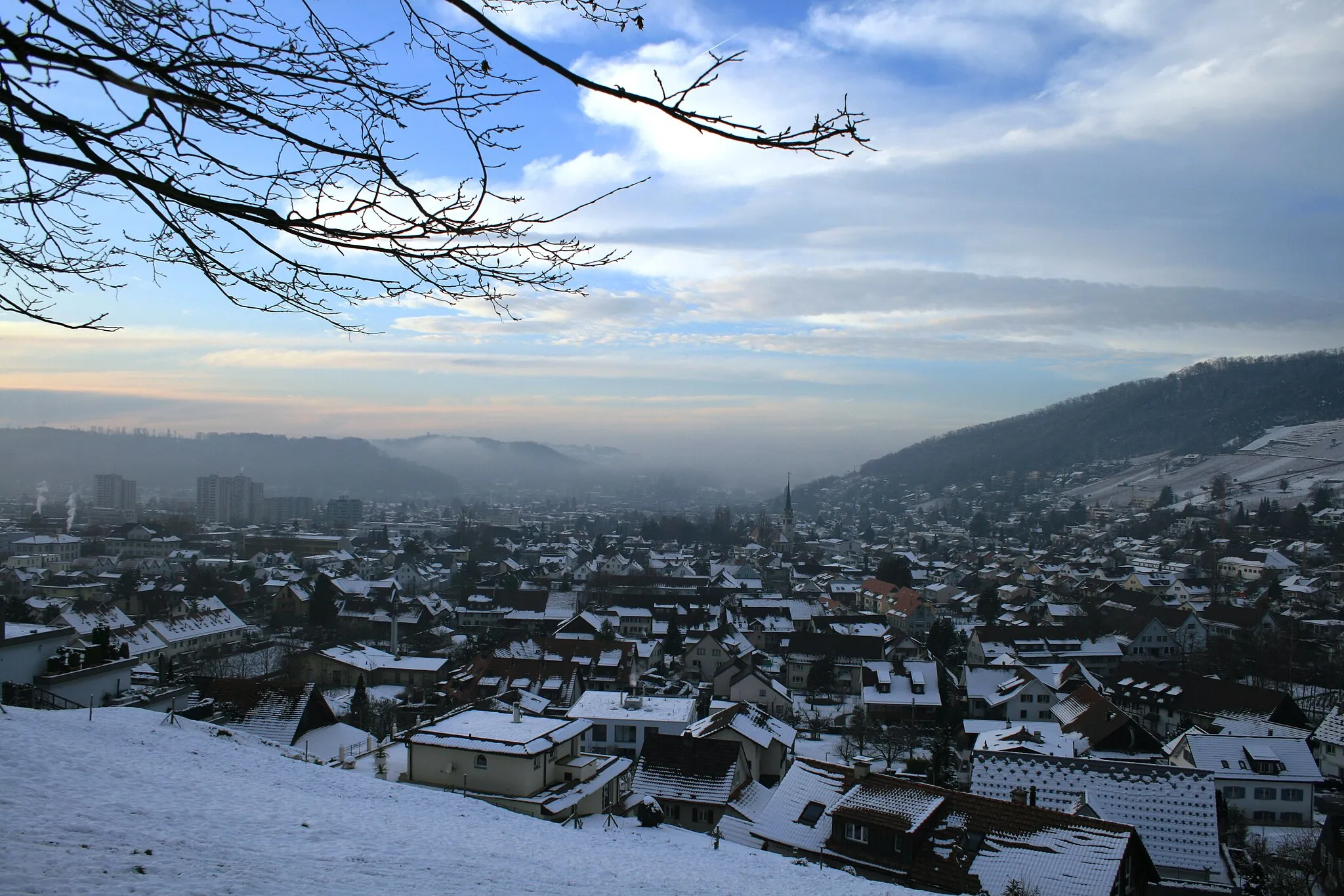
Nestled in Nordwestschweiz region of Switzerland, Oberrohrdorf offers scenic cycling routes and stunning landscapes. Cyclists can ride through rolling hills, picturesque vineyards, and charming Swiss towns, immersing themselves in the beauty of the region. Oberrohrdorf is also located near the famous Jura Mountains, which provide challenging climbs for road cyclists. With its breathtaking scenery and access to iconic mountain ranges, Oberrohrdorf is a fantastic destination for cyclists seeking memorable rides.
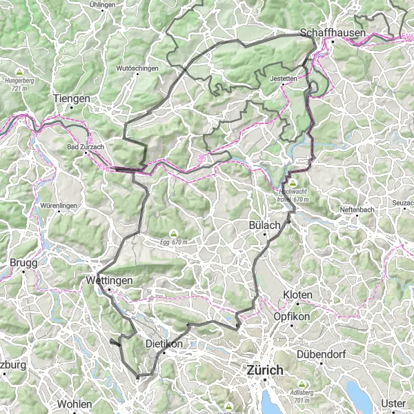
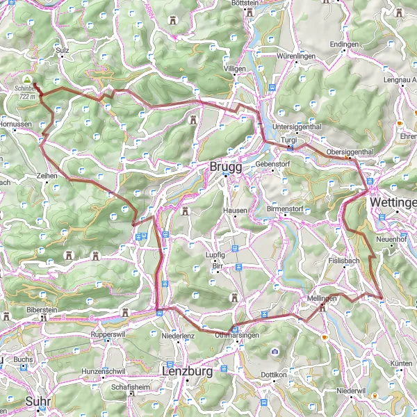
Embark on an epic road cycling adventure in Nordwestschweiz
The Nordwestschweiz Road Adventure is a challenging and epic road cycling route near Oberrohrdorf in the Nordwestschweiz region of Switzerland. With a distance of 127 kilometers and an ascent of 1853 meters, this route is designed for experienced cyclists looking for a true challenge. The route takes riders through breathtaking landscapes, picturesque villages, and iconic Swiss attractions. From the Chrüzliberg climb to the famous Hochwacht Irchel, this adventure promises unforgettable moments and unforgettable views. Overall, the Nordwestschweiz Road Adventure is a must-do for road cycling enthusiasts looking for an exhilarating and rewarding experience.
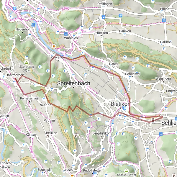
A thrilling gravel adventure through scenic landscapes
Discover the picturesque landscapes of the Nordwestschweiz region on this challenging and exciting gravel cycling route. Starting from Oberrohrdorf, you will ride through quaint villages, tackle tough ascents, and be rewarded with stunning views along the way. This loop is perfect for experienced cyclists looking for an off-road adventure.
Bülach Loop
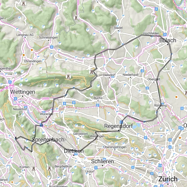
Discover the beauty of Bülach in this scenic road cycling loop
The Bülach Loop is a picturesque road cycling route near Oberrohrdorf in the Nordwestschweiz region of Switzerland. With a distance of 62 kilometers and an ascent of 1139 meters, this loop offers a delightful experience for cyclists. The route takes riders through charming villages, rolling hills, and enchanting landscapes. The highlight of the route is the iconic Heitersbergpass, offering stunning views of the Zurich Plateau. Overall, the Bülach Loop is a perfect choice for cyclists looking to immerse themselves in the beauty of the Swiss countryside and discover the hidden gems of Bülach.
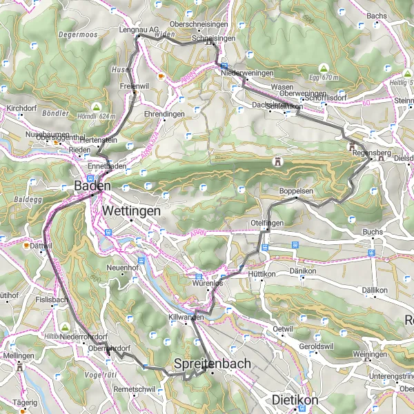
Experience a condensed adventure through Oberrohrdorf and its surroundings on this shorter road cycling route.
For those looking for a shorter road cycling adventure near Oberrohrdorf, this 44-kilometer route offers a taste of the beautiful landscapes and highlights in the area. With an ascent of 789 meters, it is suitable for intermediate-level cyclists. Highlights include Wasserturm Baldegg, Lengnau AG, Würenlos, Heitersbergpass, and Remetschwil. The difficulty level is rated 3 out of 5, making it ideal for cyclists seeking a shorter yet still rewarding ride. Enjoy the picturesque scenery and cultural sights on this condensed loop.
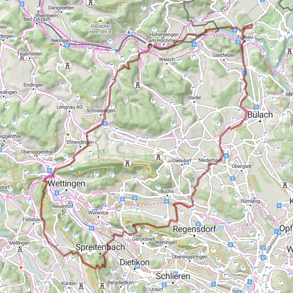
Explore the challenging and scenic Hiltiberg Gravel Loop near Oberrohrdorf
The Hiltiberg Gravel Loop is a challenging and scenic cycling route near Oberrohrdorf in the Nordwestschweiz region of Switzerland. With a distance of 65 kilometers and an ascent of 1217 meters, this loop offers a thrilling experience for gravel bike enthusiasts. The route takes cyclists through picturesque landscapes, charming villages, and breathtaking views of the Swiss countryside. Overall, this route is perfect for those seeking adventure and a test of their gravel cycling skills.
Embark on a scenic gravel route from Heitersbergpass to Remetschwil.
Covering a distance of 27km, this gravel route from Heitersbergpass to Remetschwil offers a thrilling cycling adventure. With an elevation gain of 558m, this moderately difficult route is suitable for enthusiasts looking for a shorter ride. The picturesque landscapes and charming villages along the way provide a delightful cycling experience. With an epicness score of 3, this route promises a memorable journey through pristine Swiss countryside.
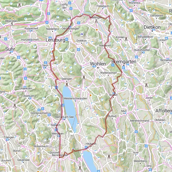
Embark on a thrilling gravel adventure from Hürst to Lenzburg.
This gravel route from Hürst to Lenzburg covers a distance of 76km and boasts a total ascent of 1415m. It is suited for well-trained amateurs who are capable of tackling challenging terrains. The route is filled with scenic highlights that provide stunning views of the surrounding landscapes and quaint villages. With an epicness score of 4, this route promises an exhilarating experience.
Embark on a breathtaking road cycling adventure near Oberrohrdorf with stunning landscapes and exciting climbs.
This road cycling route near Oberrohrdorf offers spectacular views and exciting climbs. With a total ascent of 1,495 meters and a distance of 117 kilometers, it is recommended for experienced road cyclists. Highlights along the route include Heitersbergpass, Spreitenbach, Uetliberg, Stallikon, Goom, and more. The difficulty level is rated 4 out of 5, making it suitable for well-trained amateurs seeking a challenge. Prepare yourself for an epic journey through beautiful Nordwestschweiz.
Embark on a gravel adventure from Sulperg to Heitersbergpass.
This challenging gravel route spans from Sulperg to Heitersbergpass, covering a distance of 56km. With an elevation gain of 702m, it is a suitable option for experienced gravel riders. The route features picturesque landscapes and passes through several delightful villages. With an epicness score of 4, this route promises an exciting and rewarding experience.
Heitersbergpass Road Loop
Take on the challenge of the Heitersbergpass Road Loop near Oberrohrdorf
The Heitersbergpass Road Loop is a challenging road cycling route near Oberrohrdorf in the Nordwestschweiz region of Switzerland. With a distance of 71 kilometers and an ascent of 1094 meters, this loop offers a thrilling experience for road cyclists. The route takes cyclists through beautiful countryside and charming villages, with the highlight being the climb up the scenic Heitersbergpass. Overall, this route provides a fantastic opportunity for cyclists to test their endurance and enjoy the breathtaking views of the Swiss landscapes.
Cycling routes nearby:


Nearby regions: