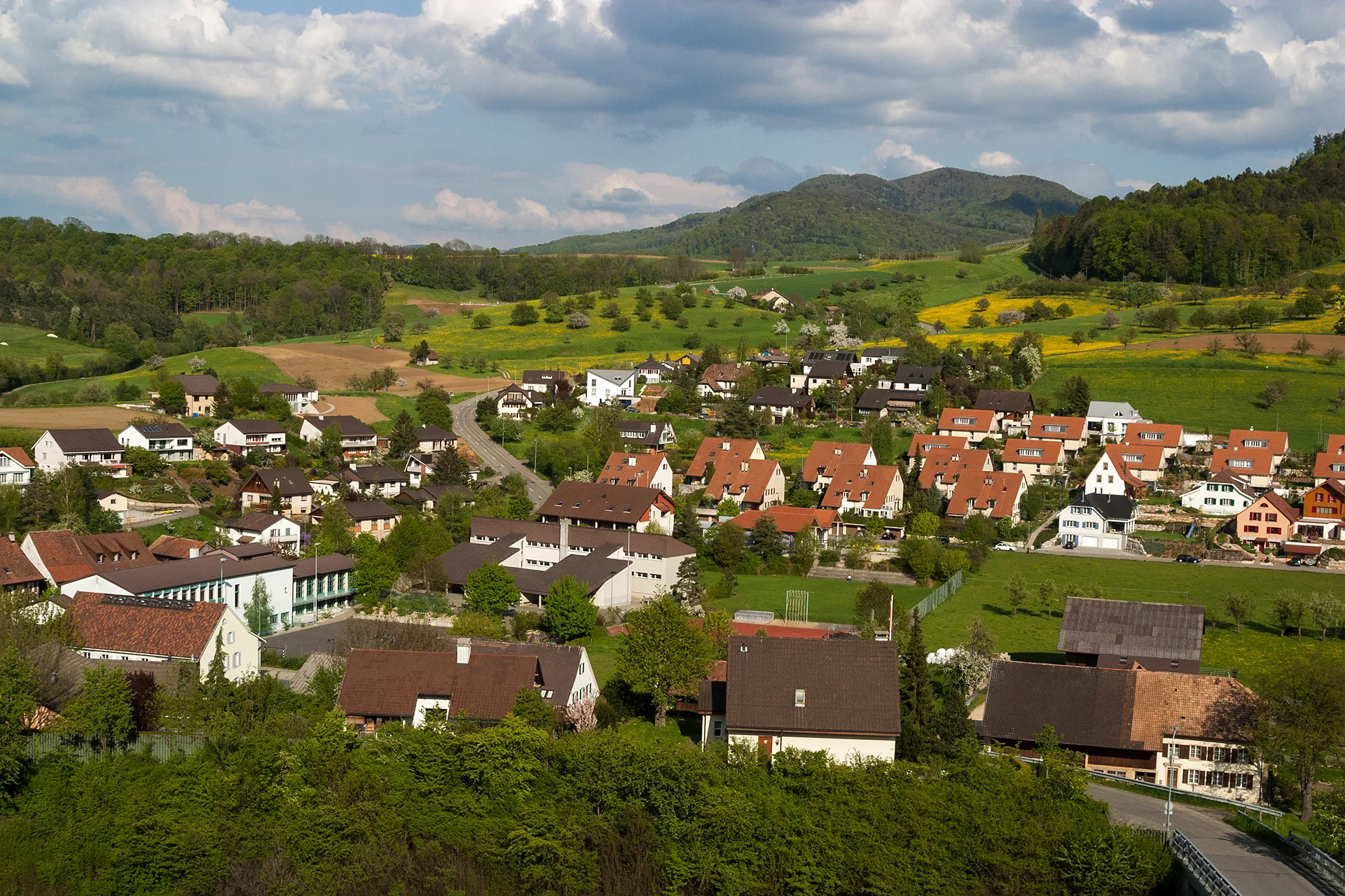
Tranquil rides through picturesque landscapes in the heart of Switzerland.
Cycling routes from Ormalingen
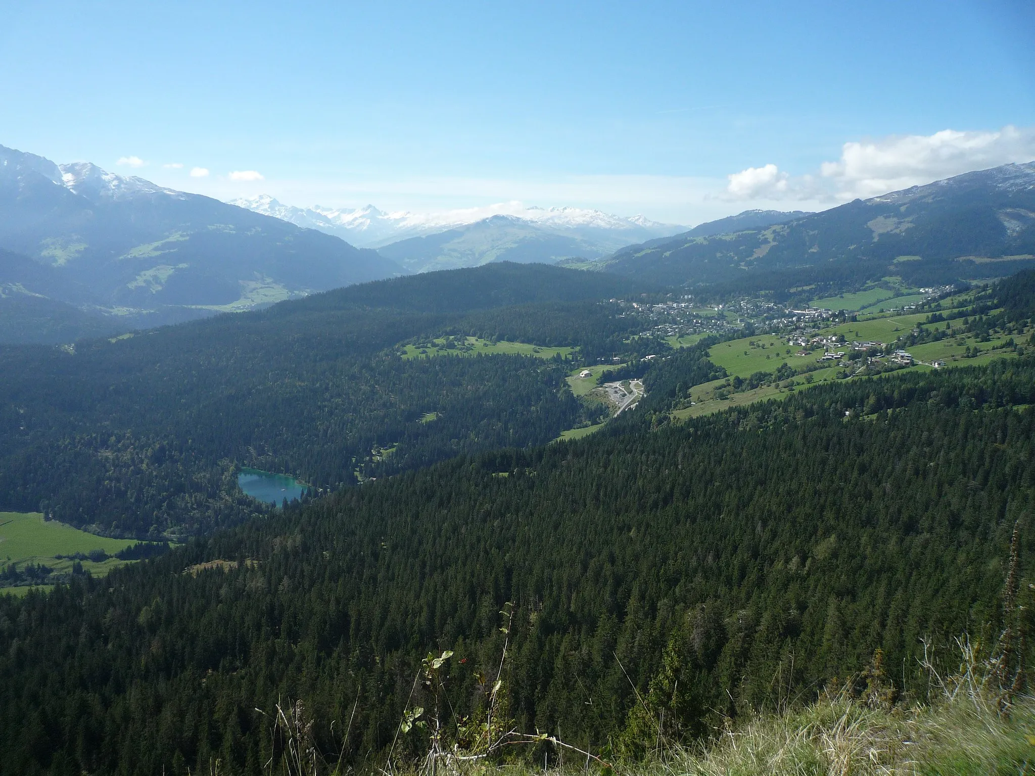
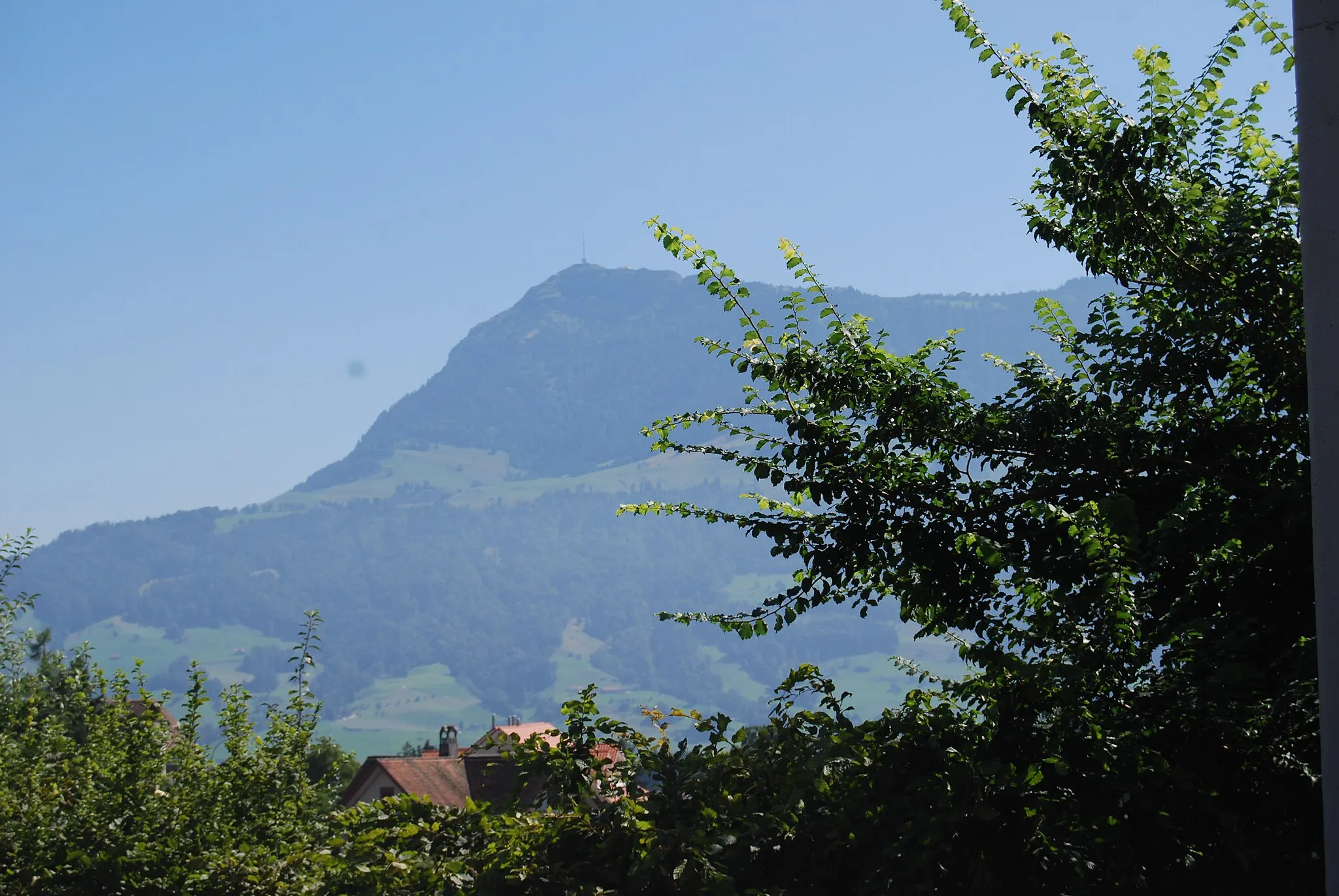
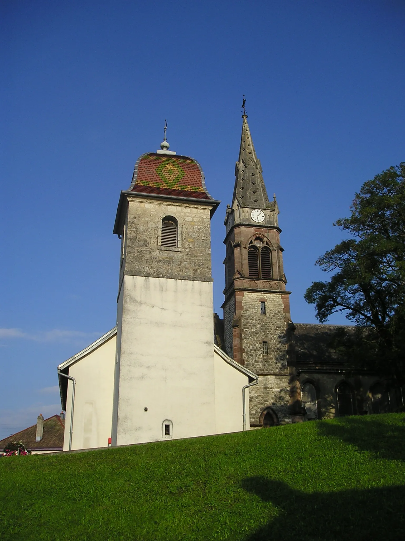
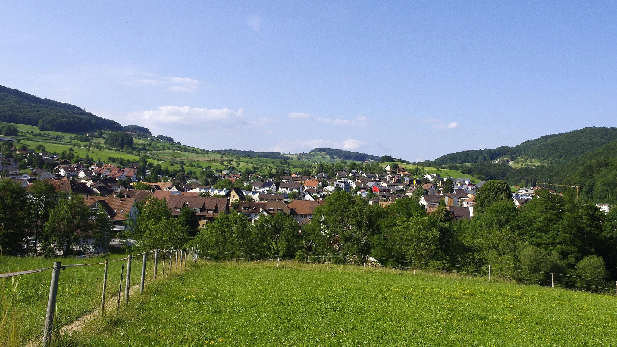
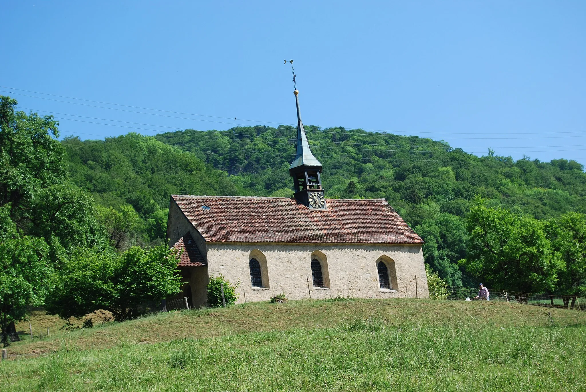
Ormalingen is a locality situated in the Nordwestschweiz region of Switzerland. It offers a variety of cycling routes that showcase the region's natural beauty. The rolling hills and tranquil surroundings make it an ideal destination for road and gravel cycling. While there are no famous cycling spots or climbs specifically in Ormalingen, cyclists can explore the nearby routes and enjoy the stunning landscapes. The locality's charm lies in its peaceful environment and scenic routes.
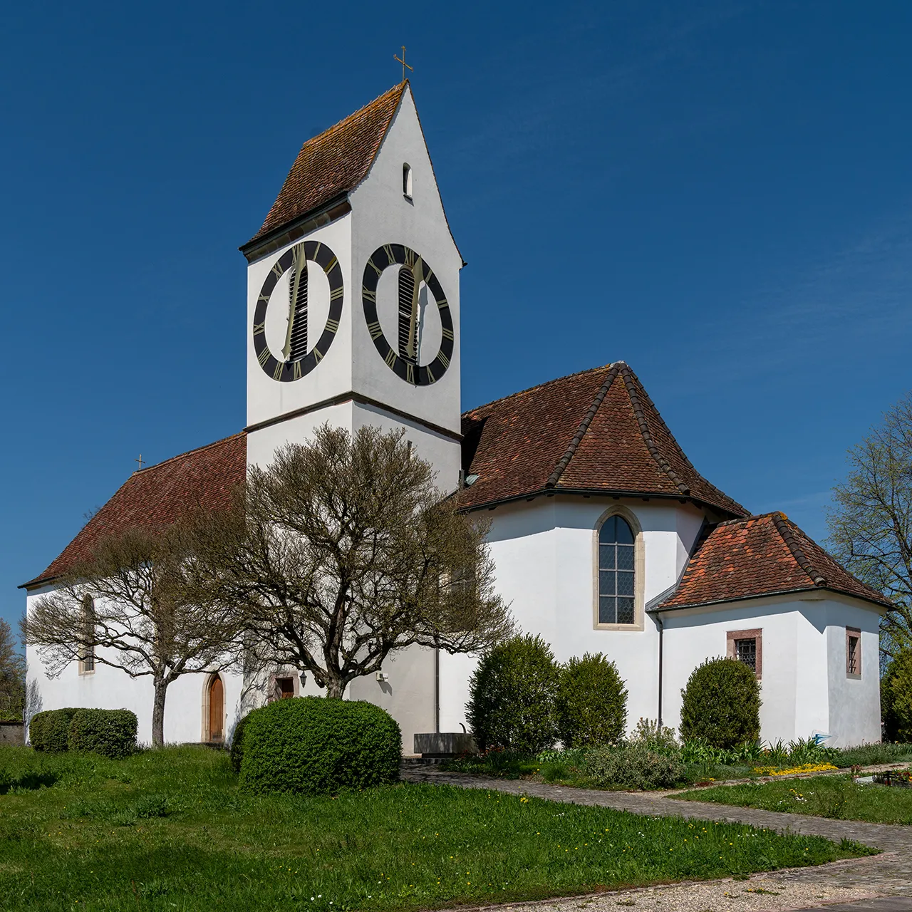
The Countryside Ride
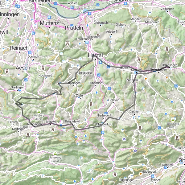
A scenic road cycling route through picturesque countryside and charming Swiss villages near Ormalingen.
The Countryside Ride is a 65 km road cycling route that takes cyclists through charming Swiss countryside near Ormalingen. With 1117 meters of ascent, it offers a moderate challenge for well-trained amateurs. Highlights of the route include Buechholz, Bennwil, Bretzwil, Chilchberg, Seewen, Horn, Gotschberg, Liestal, and Gelterkinden. Cyclists will enjoy peaceful landscapes, beautiful villages, and cultural attractions along the way.
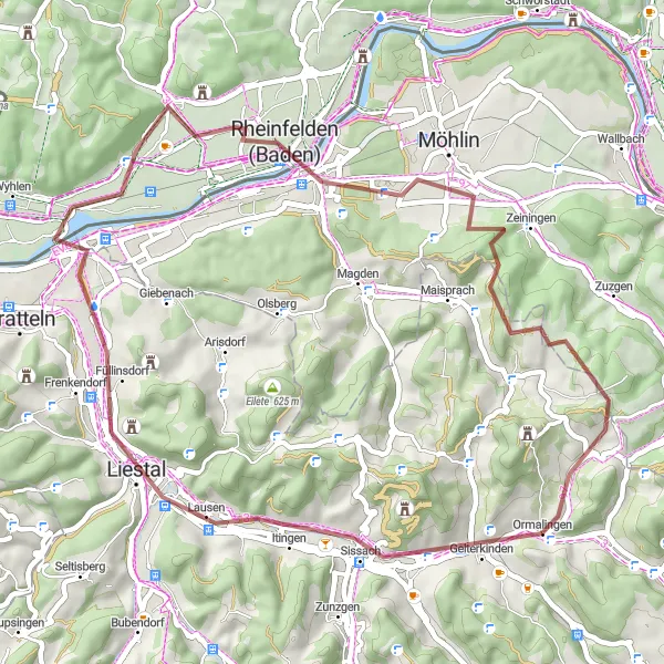
Gravel Adventure to Ormalingen

Experience the thrill of gravel cycling on this adventure to Ormalingen.
Embark on a challenging gravel ride through Nordwestschweiz as you make your way to the picturesque village of Ormalingen. Enjoy a mix of scenic landscapes, quaint towns, and a variety of terrains that will test your cycling skills. With a total ascent of 2,456 meters and a distance of 96 kilometers, this route promises both excitement and adventure.
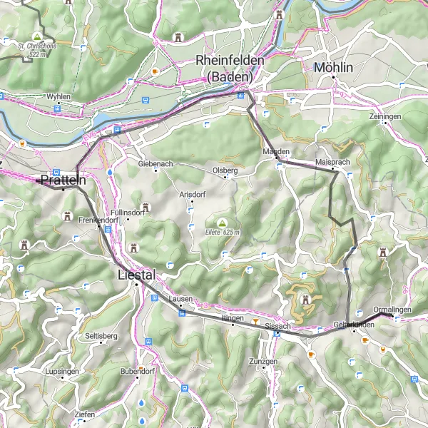
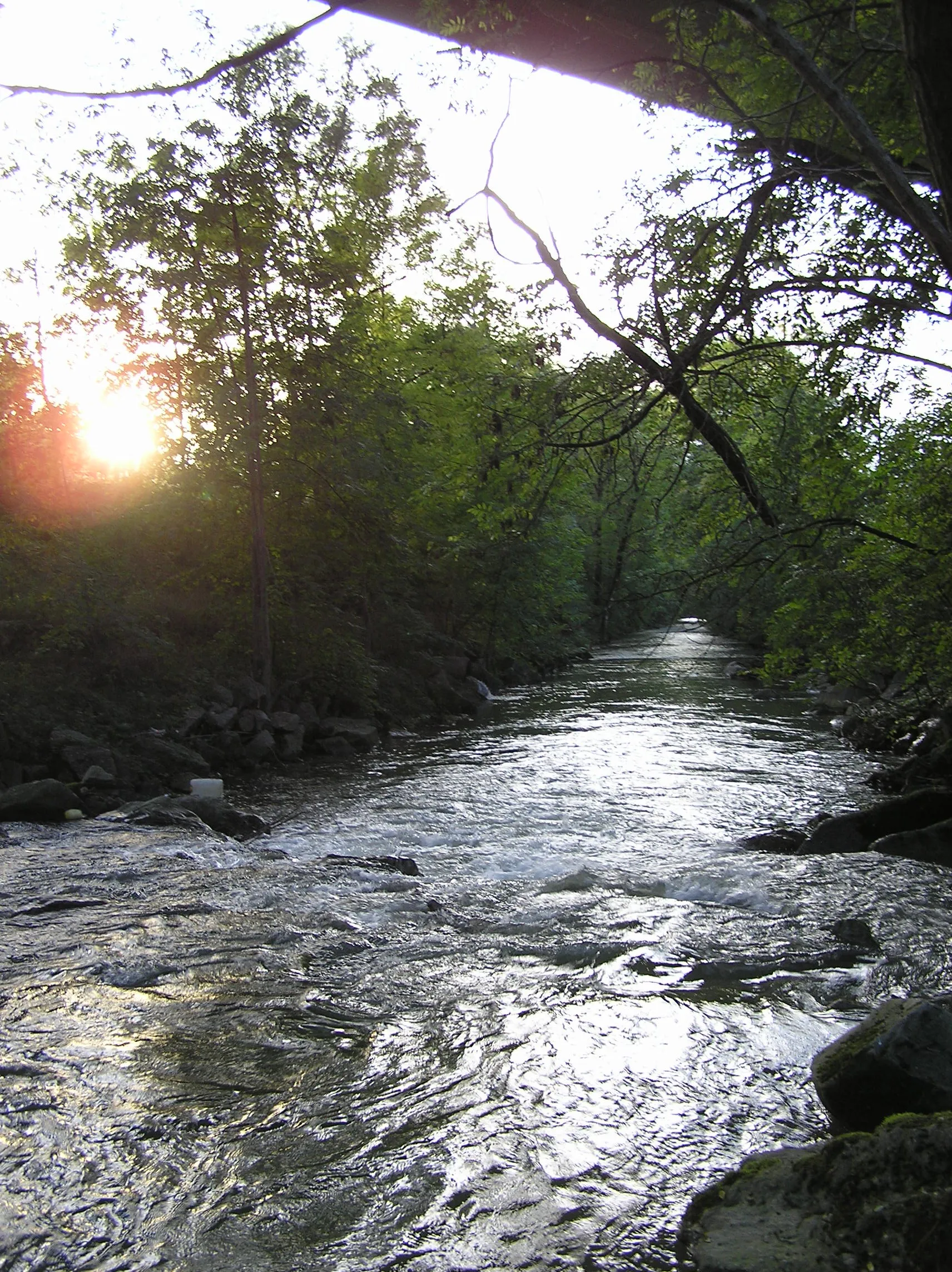
The River Ride
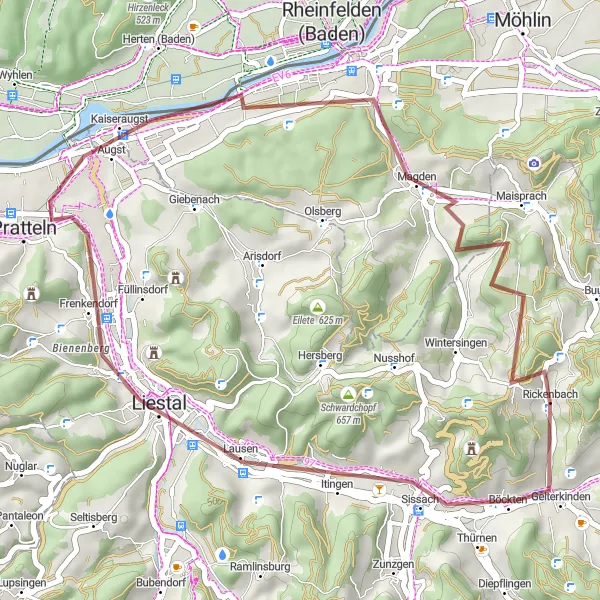
A scenic gravel route along rivers and through picturesque villages near Ormalingen.
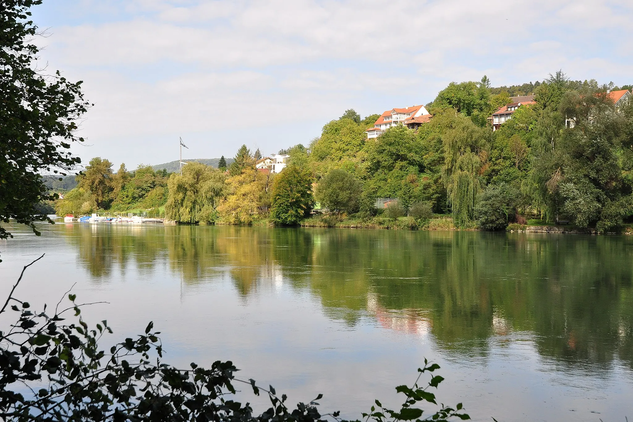
The River Ride is a 39 km gravel route that takes cyclists along rivers and through charming villages near Ormalingen. With 543 meters of ascent, it provides a moderate challenge for gravel enthusiasts. Highlights of the route include Sissach, Ergolz-Wasserfall, Augst, Vögel, Önsberg, Maisprach, and Buseregg. This scenic route offers peaceful landscapes, interesting historical sites, and breathtaking river views.
An adventurous gravel cycling route with challenging climbs and scenic viewpoints.
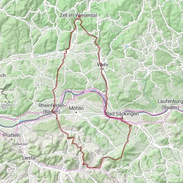
The Gravel Adventure is an 80 km route that takes cyclists through diverse landscapes near Ormalingen. This gravel route is perfect for those seeking an off-road adventure with challenging climbs and breathtaking viewpoints. With 1715 meters of ascent, it requires a higher level of fitness and technical skills. Highlights of the route include Farnsberg, Rheinfelden (Baden), Hohe Flum, Schopfheim, Zell im Wiesental, Schänzle, Mumpf, Mumpferflue, and Wischberg.
Enjoy a scenic road cycling route from Wehr to Schwörstadt
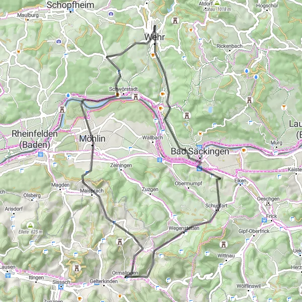
Embark on this scenic road cycling route that takes you from Wehr to Schwörstadt, showcasing the beauty of the region. With a moderate ascent of 959 meters and a total distance of 57 kilometers, this route is suitable for amateur cyclists looking for a picturesque journey. Explore charming villages, admire stunning landscapes, and experience the joy of cycling through peaceful countryside.
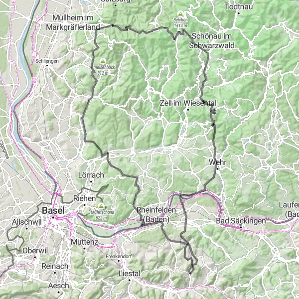
Embark on a thrilling gravel adventure through the stunning Staffelegg Pass
Take on the challenge of this gravel route that includes the spectacular Staffelegg Pass and showcases the scenic beauty of the region. With an impressive ascent of 2301 meters and a total distance of 92 kilometers, this route is ideal for experienced gravel cyclists seeking a thrilling adventure. Prepare to be captivated by the breathtaking views and rewarded with a sense of accomplishment.
Embark on a challenging road cycling adventure through scenic landscapes and iconic climb
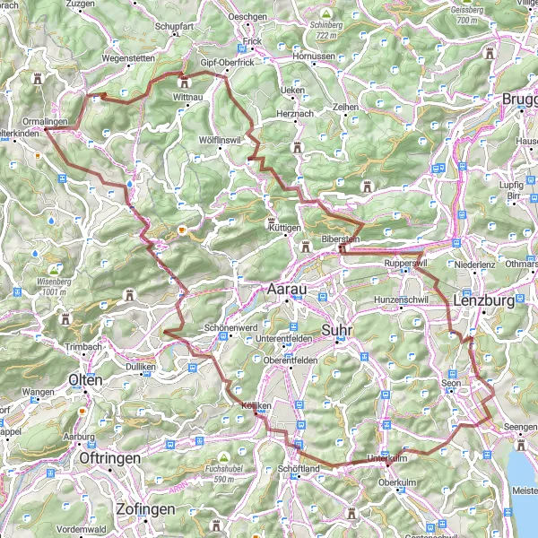
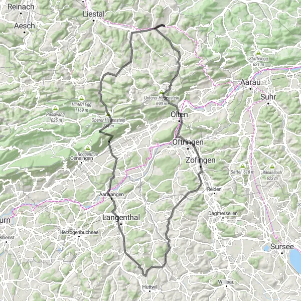
Experience the thrill of this road cycling route that takes you through scenic landscapes and includes the iconic Unterer Hauenstein climb. With a significant ascent of 1744 meters and a total distance of 109 kilometers, this route is a challenge reserved for well-trained cyclists. Prepare to be mesmerized by the breathtaking scenery and rewarded by conquering legendary climbs.
Around Sissach gravel route
Discover the picturesque landscapes around Sissach on this gravel cycling route
This gravel route takes you on a scenic journey around Sissach, offering picturesque landscapes and charming villages. With a moderate ascent of 619 meters and a total distance of 49 kilometers, this route provides a great balance between challenge and enjoyment.
The Ultimate Challenge
A demanding road cycling route with epic climbs and scenic mountain vistas near Ormalingen.
The Ultimate Challenge is a 131 km road cycling route designed for experienced riders seeking a demanding and rewarding challenge near Ormalingen. With 3047 meters of ascent, this route is not for the faint-hearted. Highlights of the route include Farnsberg, Rheinfelden, Berg, Wittlingen, Am brennten Buck, Badenweiler, Sirnitz, Neuenweg, Wembach, Leisenberg, Eichbühl, Schwörstadt, and Aussichtsturm Sonnenberg. Riders will conquer legendary climbs and be rewarded with breathtaking mountain vistas along the way.
A challenging road cycling route with scenic landscapes and a summit finish at Spitzenberg.
The Spitzenberg Circuit is a 46 km road cycling route that starts near Ormalingen. It offers challenging climbs, beautiful landscapes, and a thrilling descent. The highlight of the route is the summit finish at Spitzenberg, where cyclists can enjoy breathtaking views of the surrounding mountains and forests. With 460 meters of ascent, this route is suitable for well-trained amateurs and offers an epic cycling experience. Notable highlights along the route include Liestal, Vögel, Rheinfelden (Baden), Aussichtsturm Sonnenberg, and Gelterkinden.
Cycling routes nearby:


Nearby regions: