Nature's embrace meet epic cycling in Nordwestschweiz
Cycling routes from Pratteln
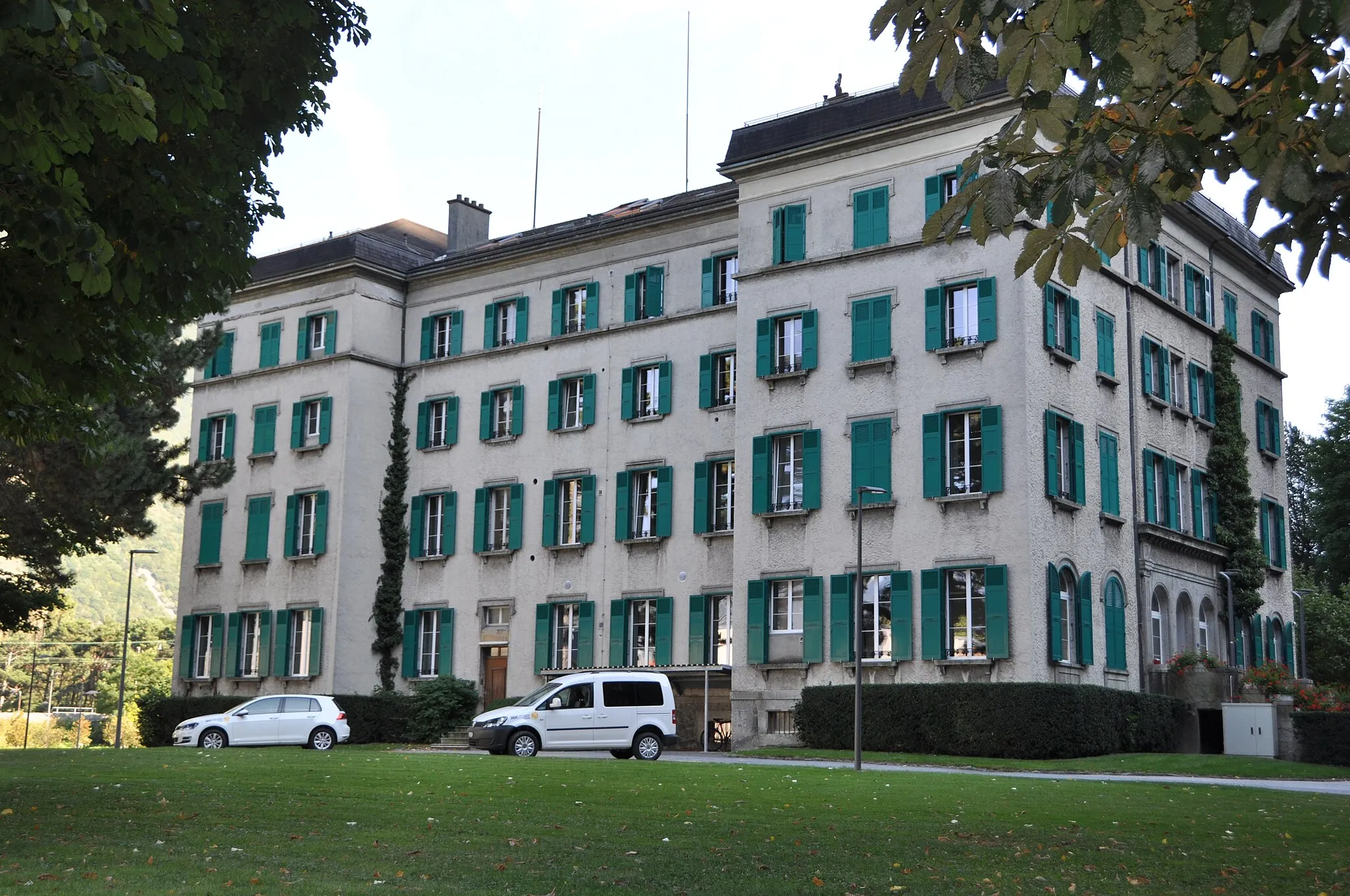
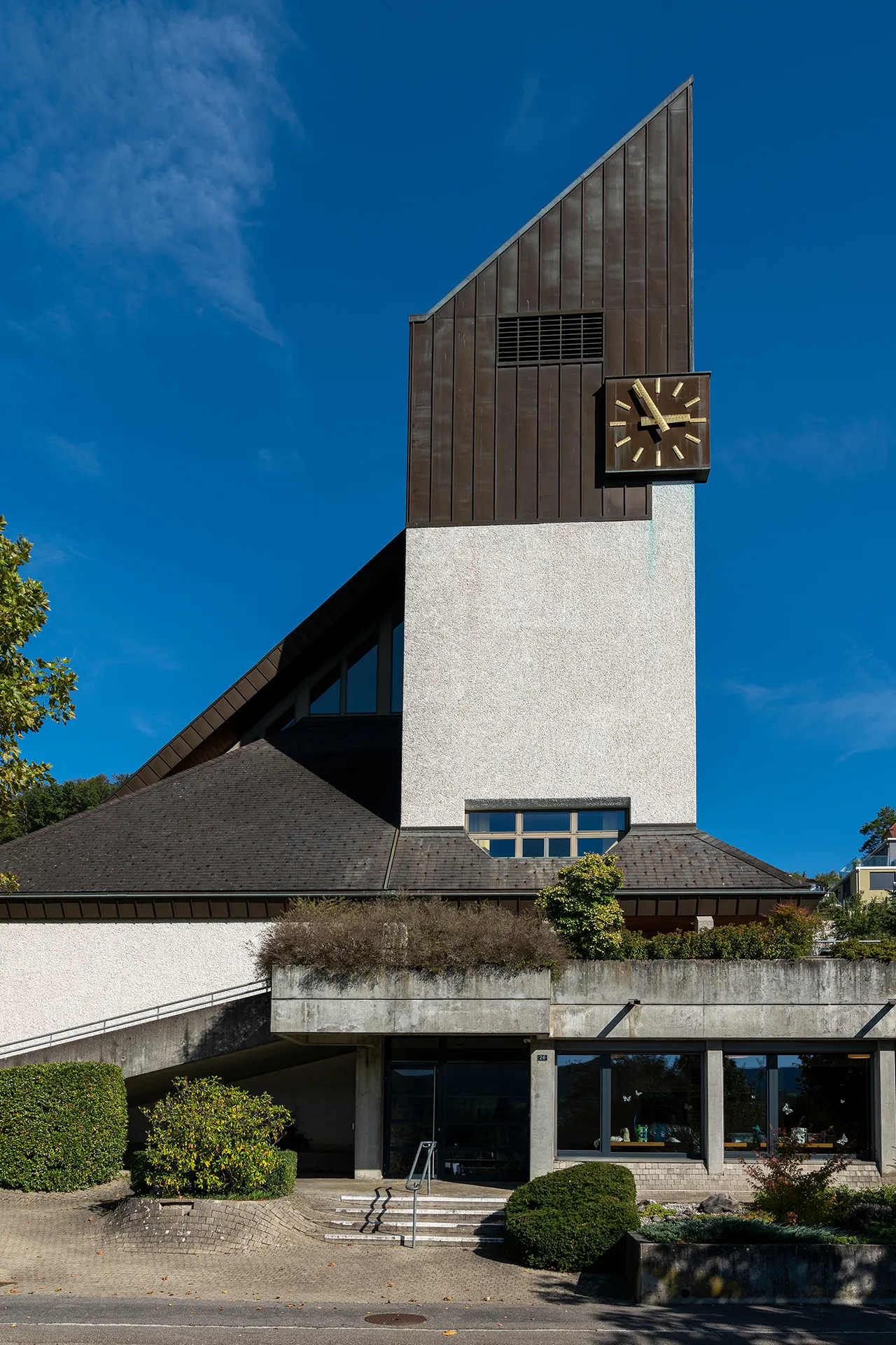
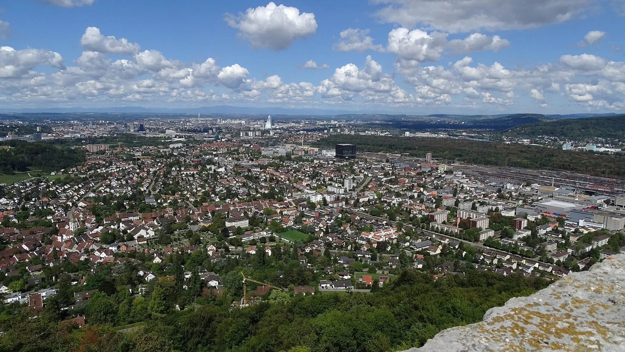
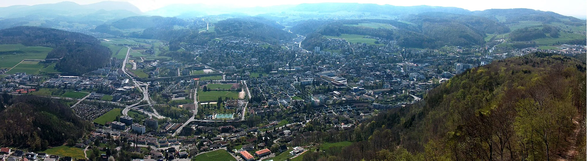
Pratteln, located in Nordwestschweiz, Switzerland, is a scenic locality that caters to cycling enthusiasts. Cyclists can take advantage of the well-maintained roads and captivating landscapes that surround Pratteln. A popular cycling spot nearby is the Rhine Route, which offers a picturesque path along the iconic Rhine River. The region is also home to the famous Belchen climb, renowned for its challenging incline and scenic views. Pratteln combines natural beauty with cyclist-friendly amenities, making it a desirable destination for those seeking adventure on two wheels.
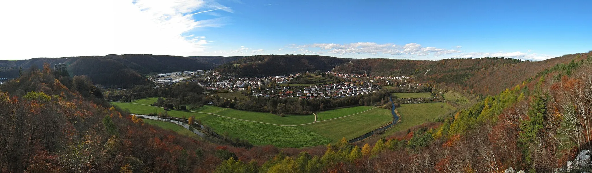
Explore the beautiful countryside around Liestal on this challenging gravel route.
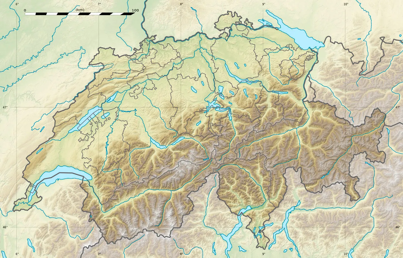
This gravel route takes you through some of the most picturesque areas near Liestal. With a total ascent of 1270 meters and a distance of 57 kilometers, it offers a challenging ride for experienced cyclists. The route passes through Liestal, Murenberg, Schlossruine Waldenburg, Beretenchopf, Richtiflue, Waldenburg, Spitzenberg, and Frenkendorf.
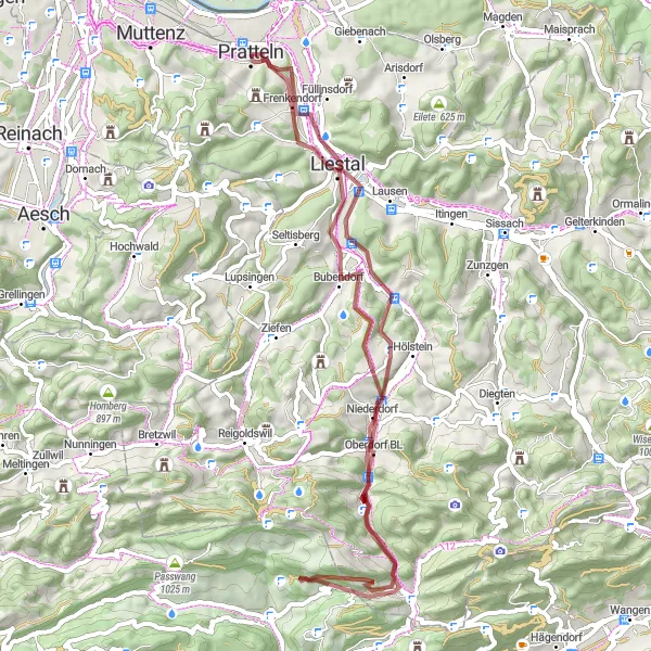
Gravel Adventure

Embark on a thrilling gravel cycling experience through rugged terrains and scenic landscapes.
This gravel cycling route is perfect for adventurers seeking a thrilling off-road experience. With a total distance of 111 km and an elevation gain of 1701 m, this route will test your endurance and provide incredible views along the way.
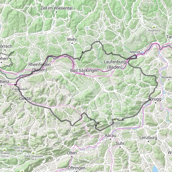
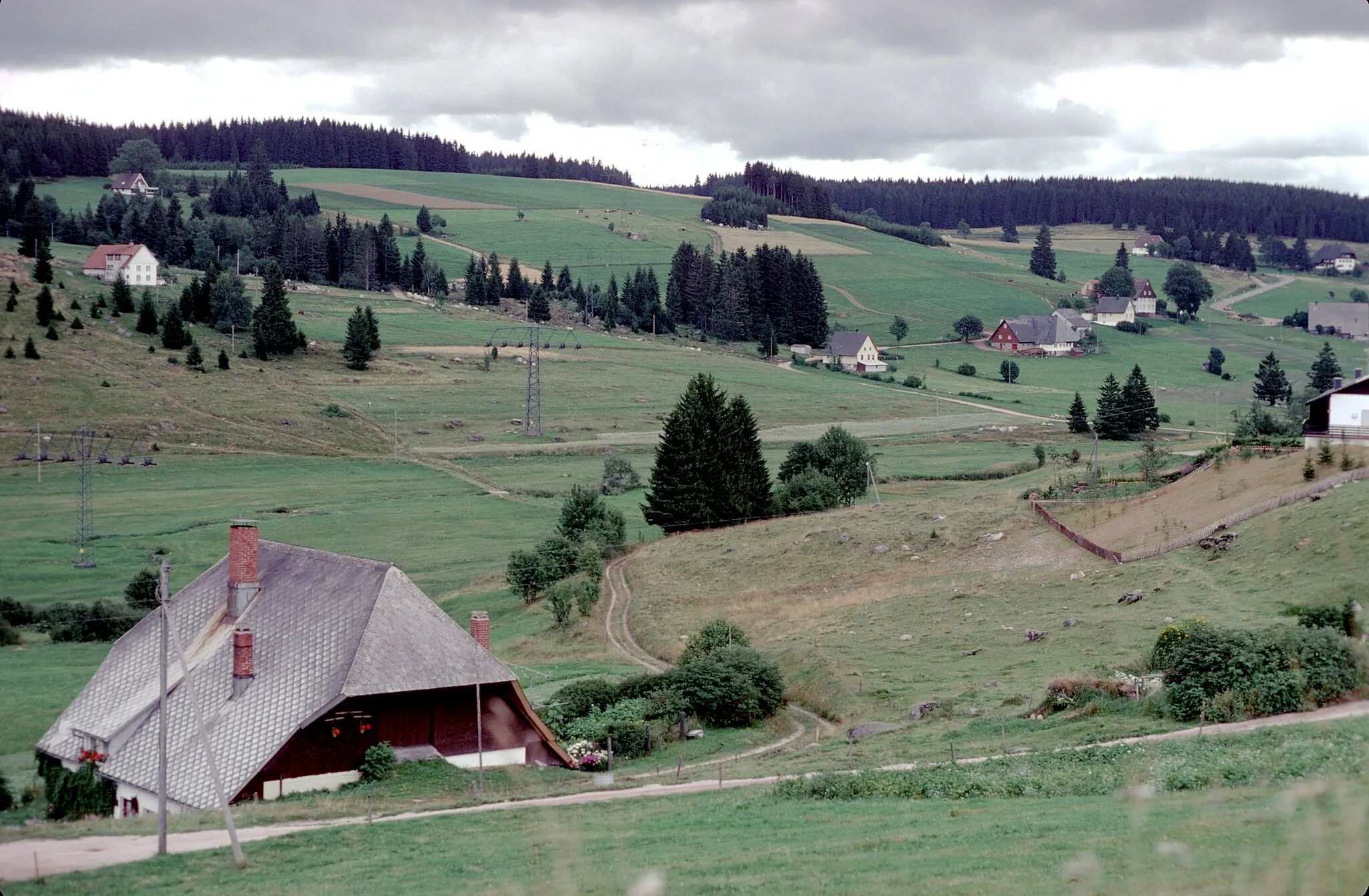
Embark on an epic road cycling adventure through the scenic Schwarzwald region.
This challenging road route takes you through the picturesque Schwarzwald region, known for its stunning landscapes and charming villages. With a total ascent of 2276 meters and a distance of 133 kilometers, it's suitable for experienced cyclists who enjoy a tough challenge. The route includes highlights such as Vögel, Rheinfelden, Schwörstadt, Humbel, Blick in die Tiefe, Hochsal, Grünegg Passhöhe, Villigen, Thalheim, Staffelegg, Salhöhe, Zeglingen, Ergolz-Wasserfall, and Liestal.
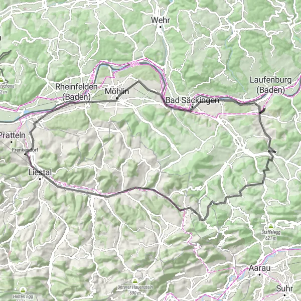
St. Chrischona Gravel Route

Cycle your way to St. Chrischona and experience breathtaking views along this gravel route.
This gravel route takes you to St. Chrischona, offering spectacular views of the region. With a total ascent of 813 meters and a distance of 47 kilometers, it's a moderate ride suitable for cyclists of all levels. The route passes through St. Chrischona, Inzlingen, Maulburg, Hohe Flum, Rheinfelden (Baden), and Panorama vom "Hagebächli".
Basel and Beyond Road Route

Embark on an unforgettable road cycling adventure around Basel and discover the scenic landscapes of the region.
This road route promises an incredible journey through the beautiful region surrounding Basel. With a total ascent of 1073 meters and a distance of 89 kilometers, it's suitable for intermediate to advanced cyclists. The route takes you to Pfalz, Basel, Bad Bellingen, Am brennten Buck, Kandern, Schlächtenhaus, Eichberg, Tempel Grienmatt, and Biotop.
The Scenic Road Journey
Take a scenic road journey through beautiful Swiss countryside and charming towns.
This road cycling route is perfect for cyclists wanting to experience the beauty of the Swiss countryside. With a total distance of 80 km and an elevation gain of 1058 m, this route offers a combination of scenic landscapes and charming towns along the way.
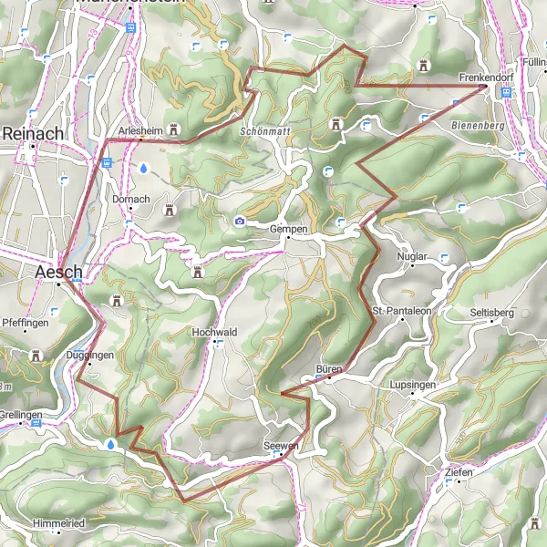
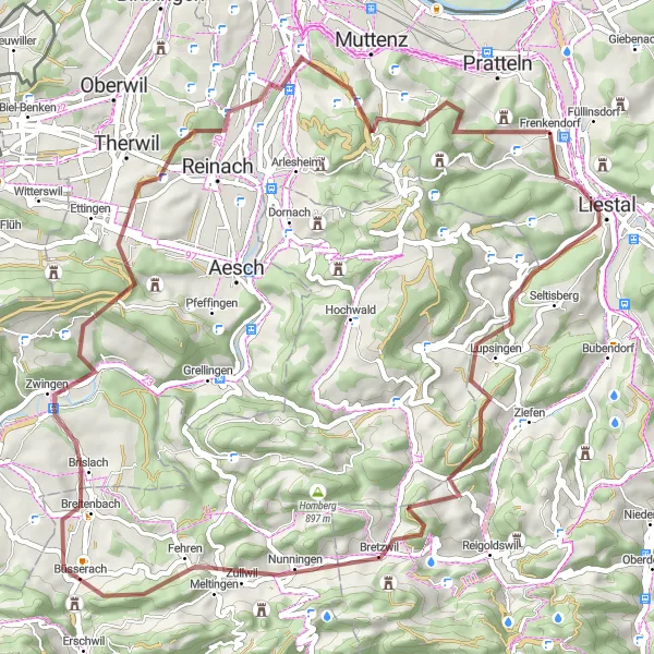
Experience the rugged charm of Northwest Switzerland on this thrilling gravel route.
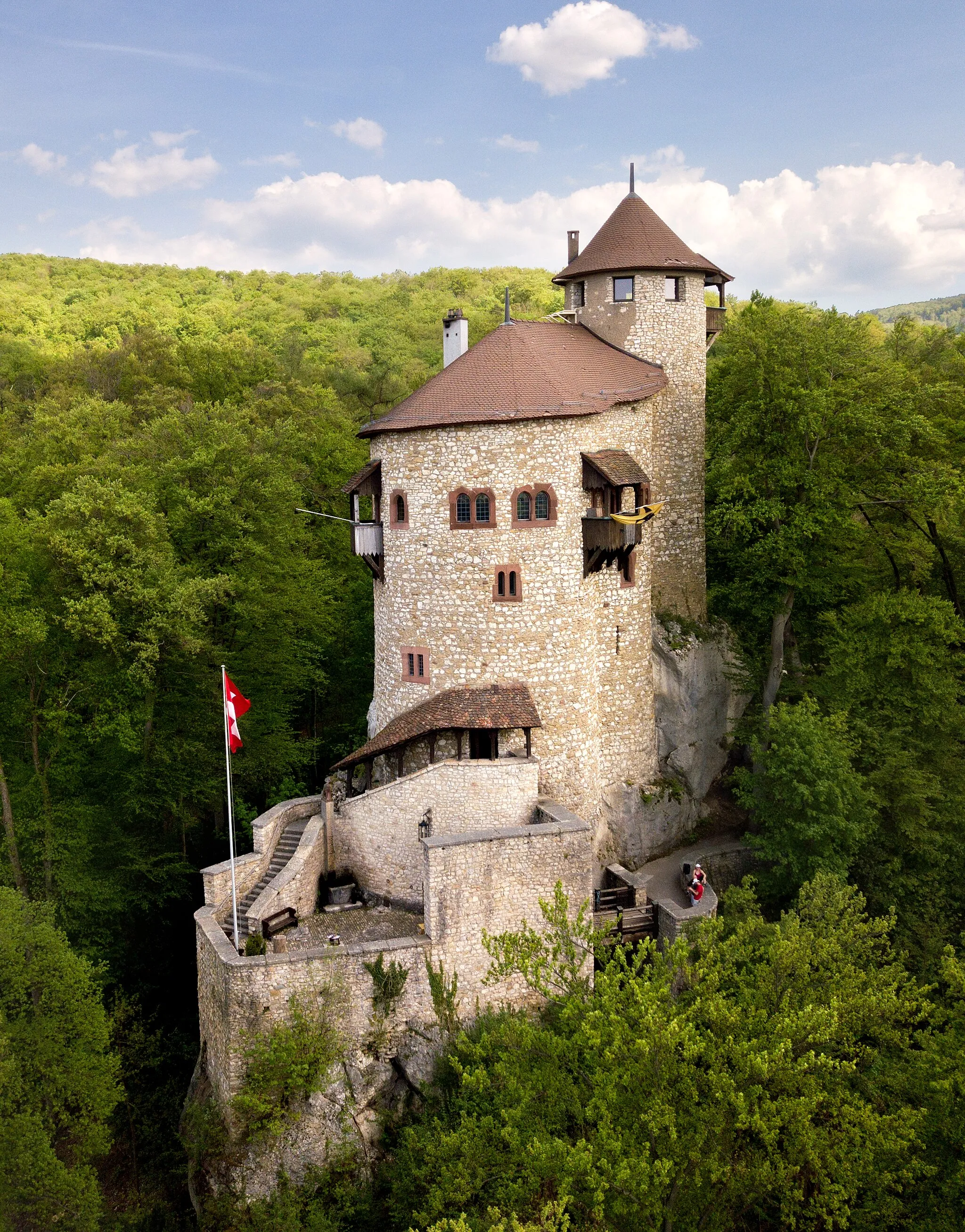
Embark on a gravel adventure through the picturesque landscapes of Northwest Switzerland. This route will take you from Pratteln to Hintere Ebene, offering stunning views and exciting challenges along the way. With a total ascent of 1,110 meters and a distance of 37 kilometers, this is a perfect ride for well-trained amateur cyclists looking for an exhilarating outdoor experience. Throughout the journey, you will encounter scenic highlights such as Spitzenflüeli, Seewen, Arlesheim, Madlenchöpfli, and Ruine Madeln, each with its own unique charm and historical significance. Get ready for an epic cycling experience packed with beautiful sights and thrilling gravel paths.
The Jura Loop
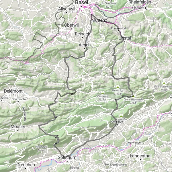
A scenic loop with challenging ascents and breathtaking views
The Jura Loop is a stunning round-trip cycling route that starts near Pratteln in Northwest Switzerland. With a total distance of 138 kilometers and an elevation gain of 2,967 meters, this route is perfect for experienced cyclists seeking a challenge. The Jura Loop takes you through picturesque landscapes, charming villages, and challenging ascents, offering breathtaking views at every turn. The difficulty level of this route is rated 4 out of 5, making it suitable for very well-trained amateurs. The epicness rating is also high at 4 out of 5, thanks to the scenic beauty and challenging nature of the route. Overall, the Jura Loop offers a rewarding cycling experience for those who enjoy a mix of physical exertion and natural beauty.
Explore the Lupsingen Valley
Immerse yourself in the lush greenery and serene atmosphere of the beautiful Lupsingen Valley.
This gravel cycling route takes you through the picturesque Lupsingen Valley, known for its stunning landscapes and peaceful surroundings. With a total distance of 61 km and an elevation gain of 1486 m, this route provides a challenging yet rewarding experience for adventurous cyclists.
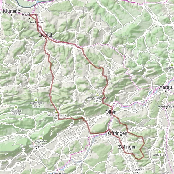
Embark on a thrilling gravel adventure through the scenic Swiss countryside.
This round-trip cycling route starting near Pratteln is a must-do for gravel enthusiasts. With a total ascent of 2089 meters and a distance of 99 kilometers, this route offers a challenging yet rewarding experience. You'll encounter stunning highlights along the way, from the majestic Ergolz Waterfall to the historic town of Olten. The route takes you through picturesque landscapes, including the awe-inspiring Geissflue and the charming Alpenzeiger. Prepare to be amazed as you cycle through the scenic panorama of the "Hagebächli." Overall, this route combines thrilling off-road sections with breathtaking views, making it a truly memorable adventure for any gravel cyclist.
Cycling routes nearby:

Nearby regions: