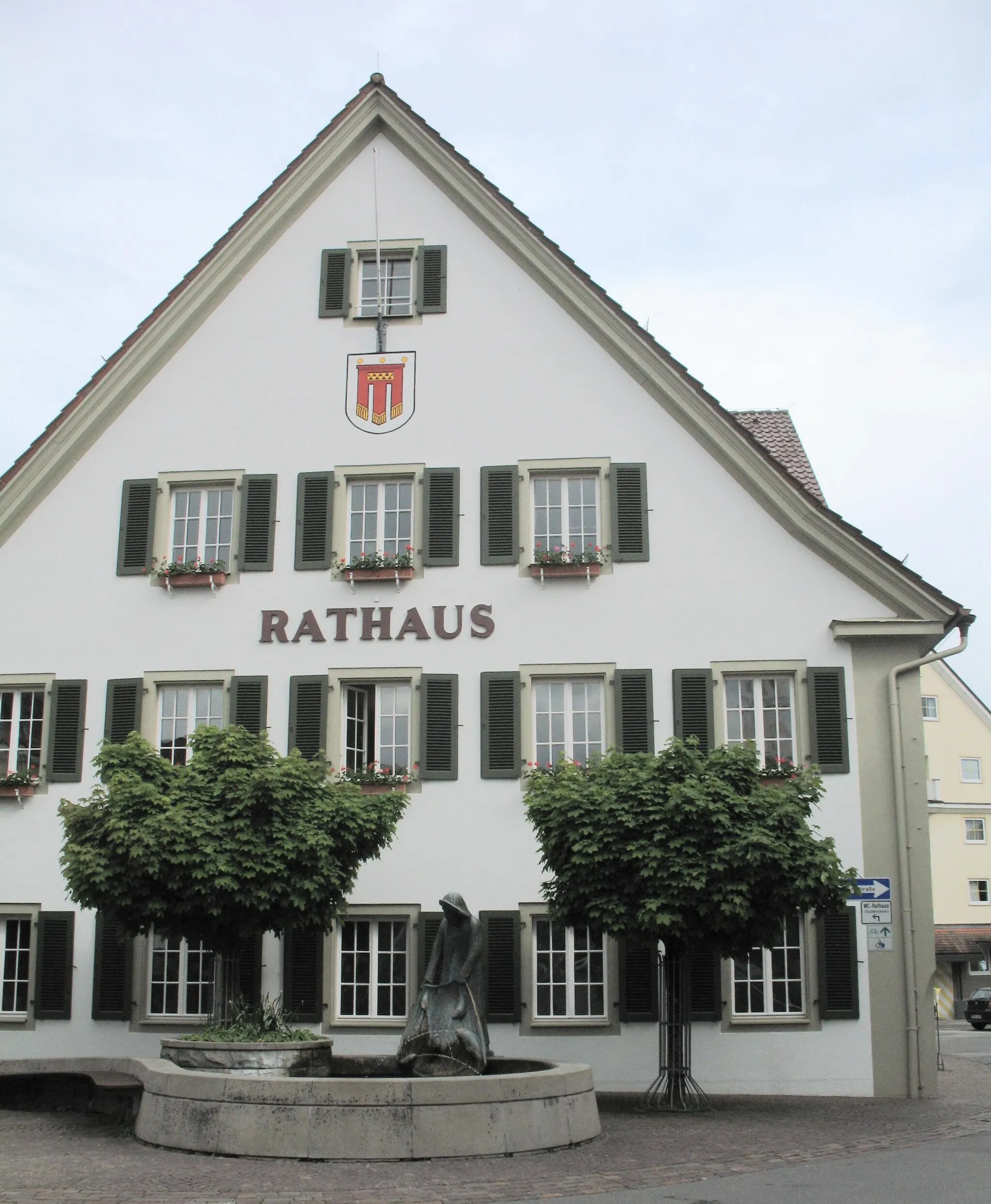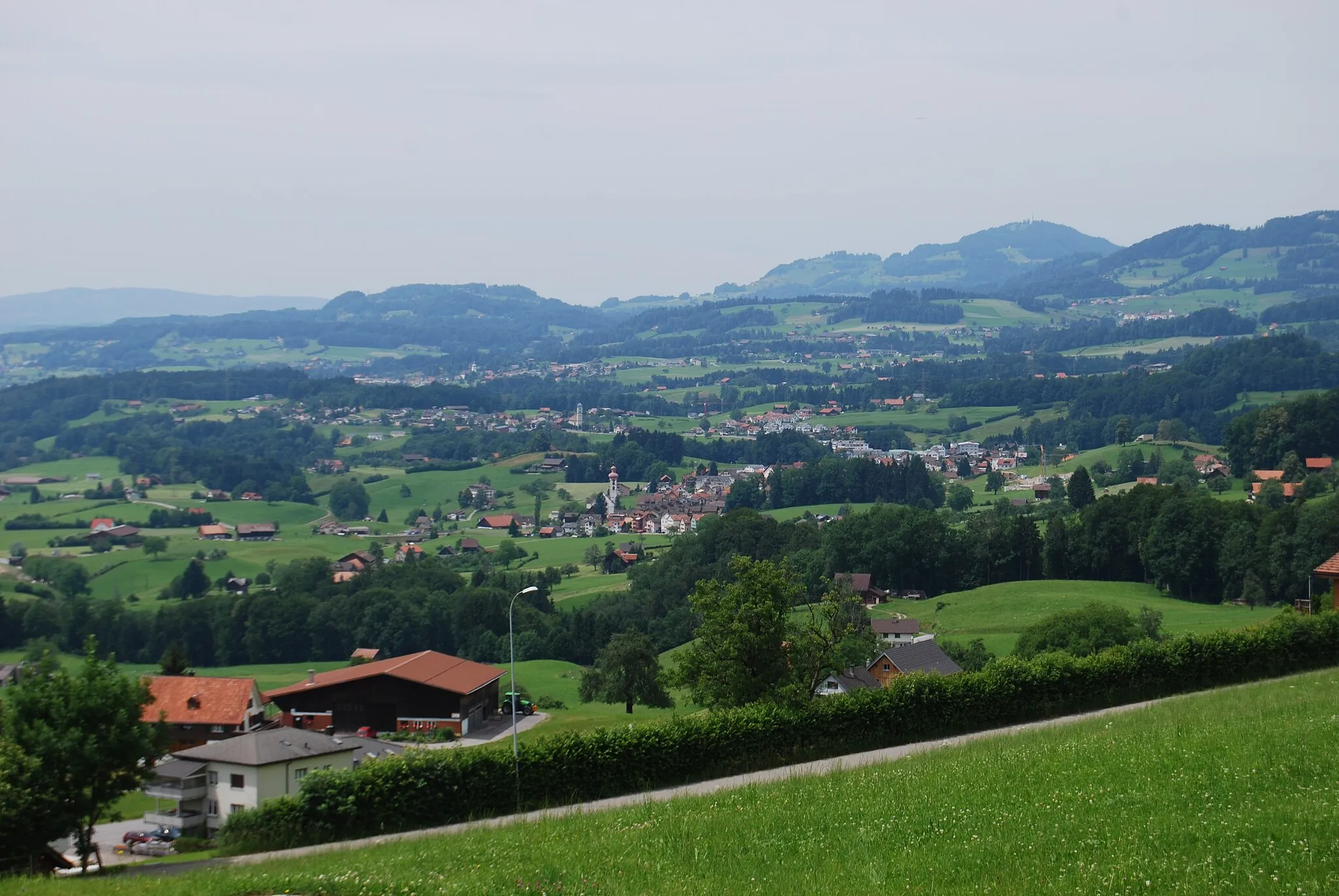
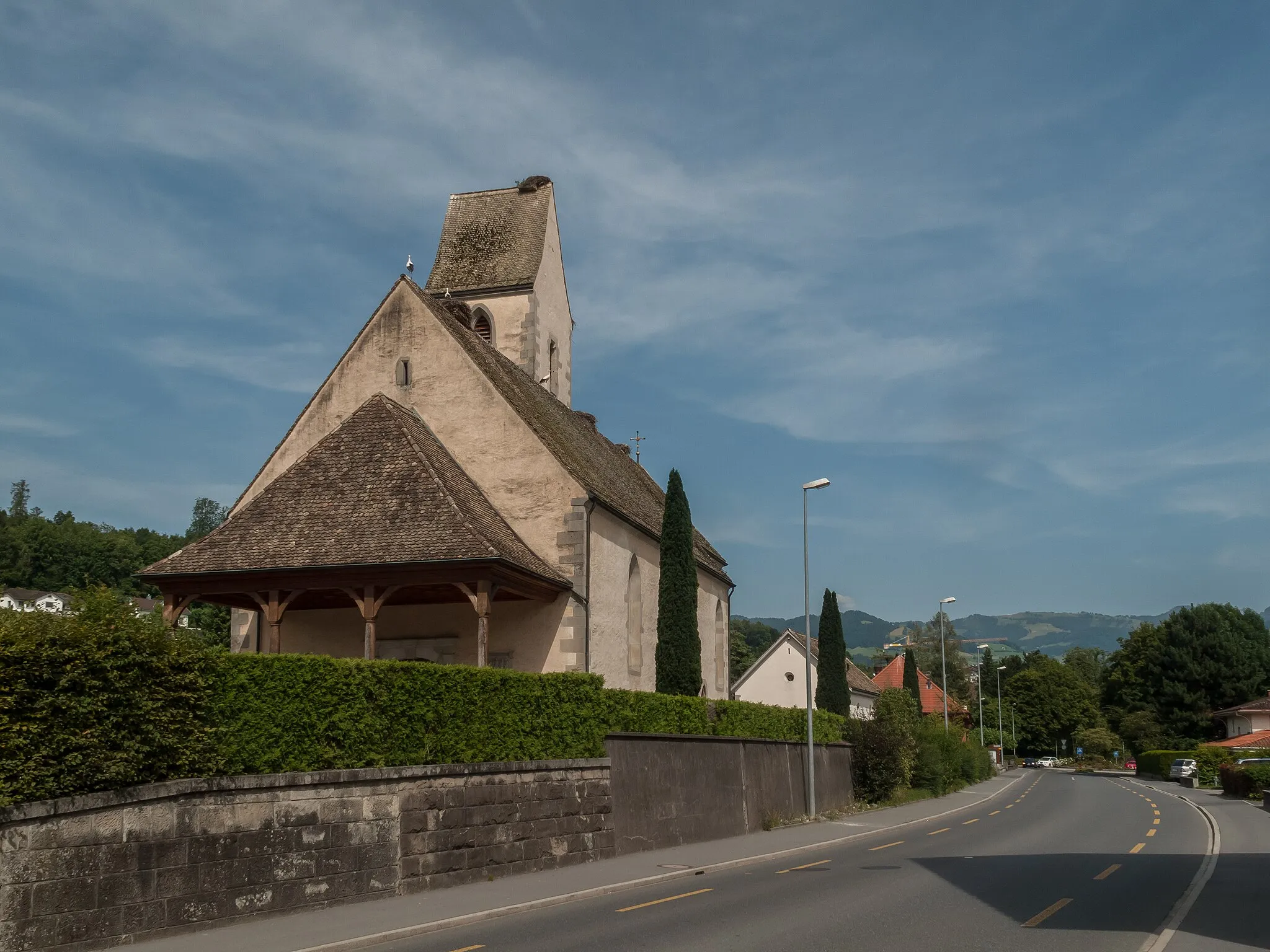
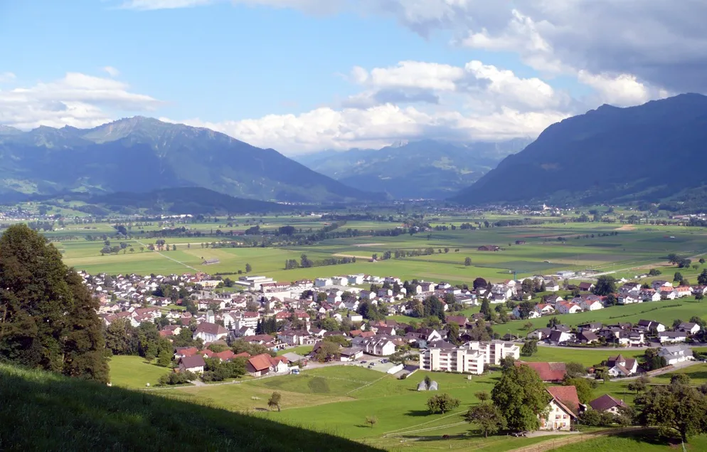
Conquer the legendary climb of goldeggstrasse in Gommiswald, Switzerland
Cycling routes from Gommiswald
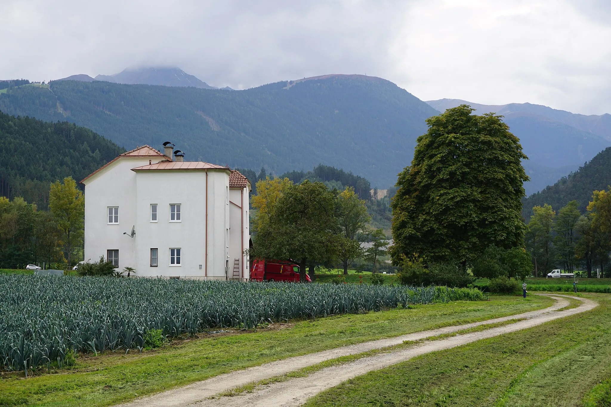
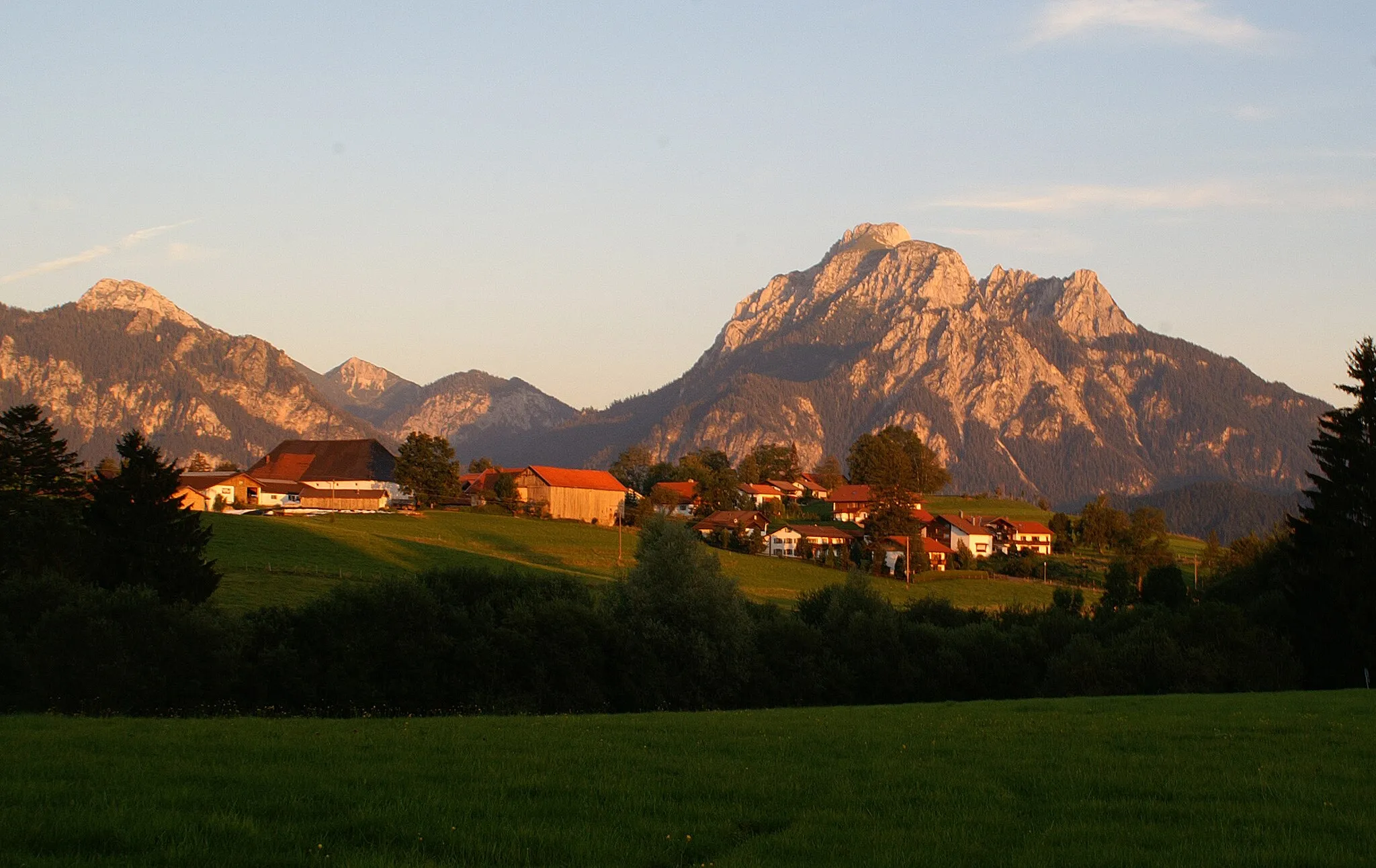
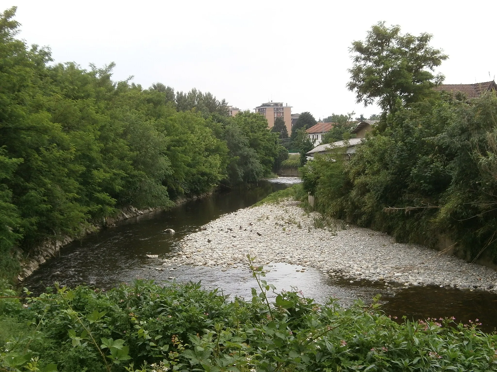
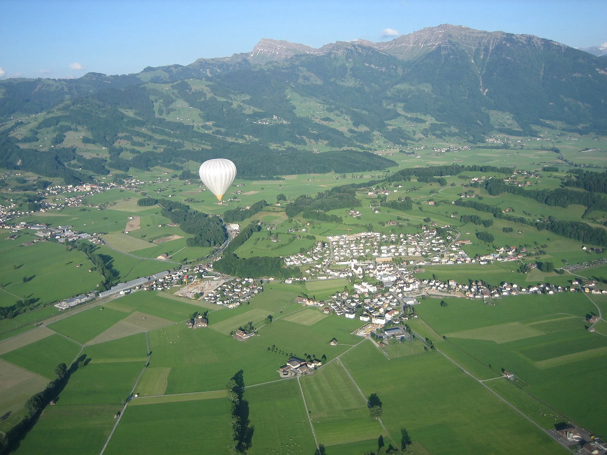
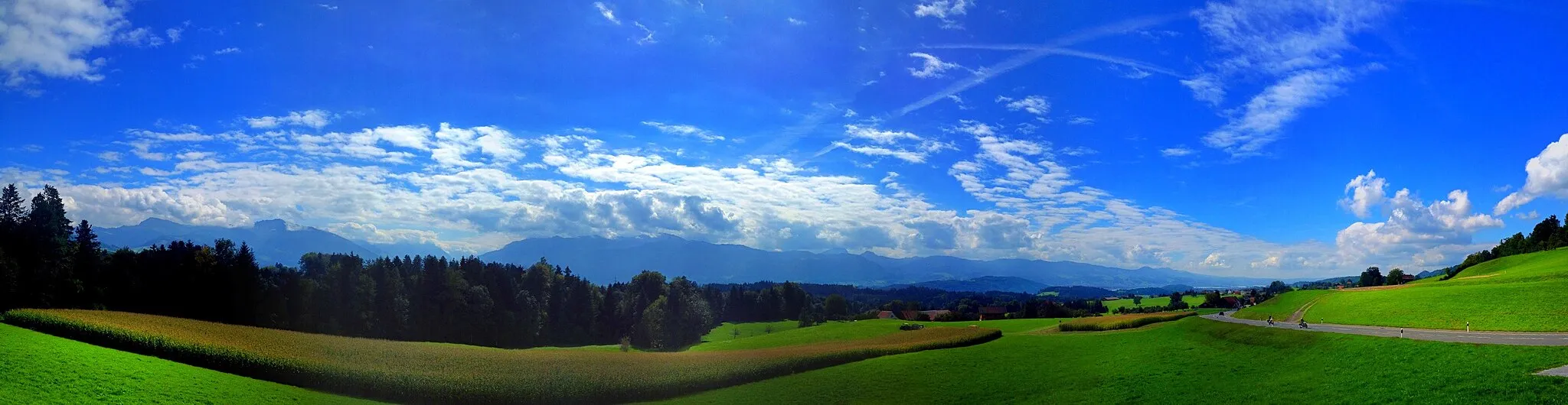
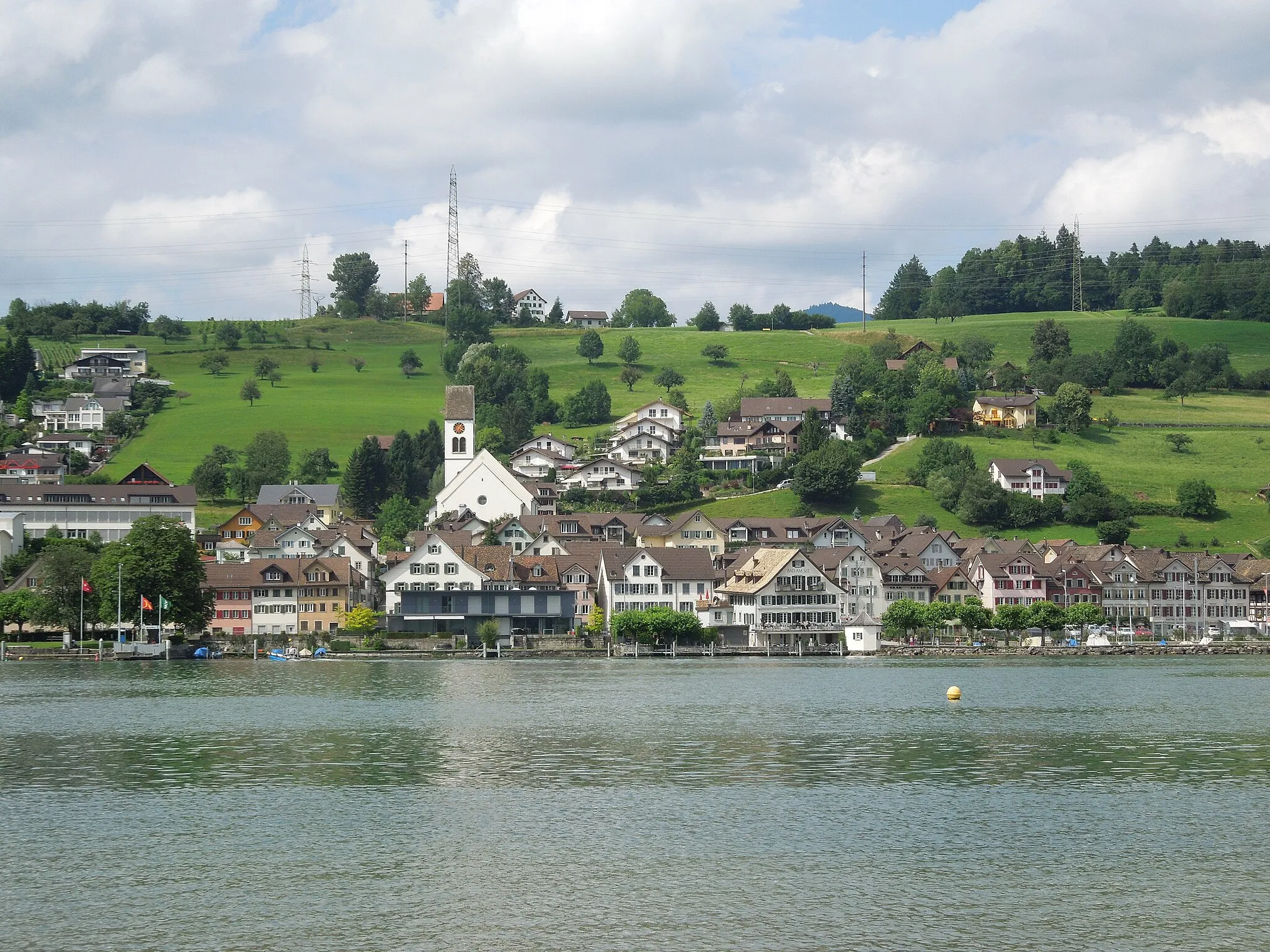
Gommiswald is a locality situated in the Ostschweiz region of Switzerland. As a road and gravel cyclist, you'll be delighted by the stunning alpine scenery and well-maintained roads that Gommiswald has to offer. The area features several challenging climbs, such as the famous goldeggstrasse, that will test your climbing skills. Additionally, there are plenty of picturesque cycling routes that allow you to explore the surrounding lakes and mountains. Overall, Gommiswald is a fantastic destination for cyclists looking for a mix of breathtaking scenery and demanding climbs.
Ebnat Loop
Explore the beautiful Ebnat region on this distinctive cycling route
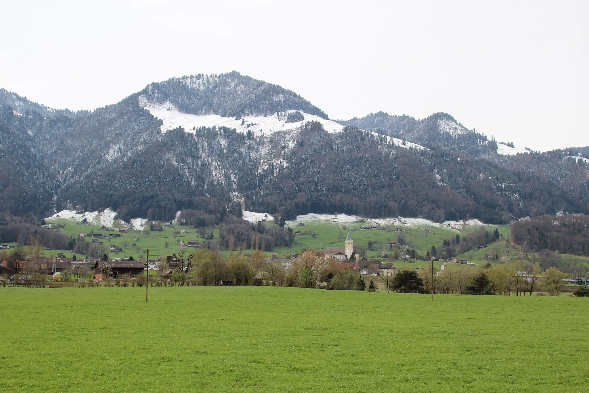
The Ebnat Loop is a scenic cycling route that takes you through the stunning Ostschweiz region of Switzerland. With a total distance of 62 kilometers and an ascent of 1534 meters, this road bike route offers both challenging climbs and breathtaking descents. The highlight of the route is the town of Ebnat, located at the 14-kilometer mark, where you can take a break and enjoy the charming Swiss countryside. With a difficulty rating of 3 and an epicness rating of 4, this route is perfect for moderately experienced cyclists looking for a rewarding adventure.
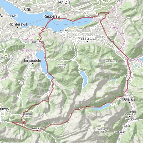
Embark on an epic gravel challenge through the stunning Alpine landscapes surrounding Gommiswald.
This challenging 124-km gravel route takes riders through the majestic Alps surrounding Gommiswald. With a total ascent of 3011 meters, this route is suitable for experienced cyclists seeking an unforgettable adventure. Along the way, you will encounter highlights such as Uznach, Biberlichopf, Riedern, Brüschbüchel, Gletschermühlen, Muotathal, Illgau, Ibergeregg, Unteriberg, Charenstock, Etzel, Rapperswil, and Schmerikon.
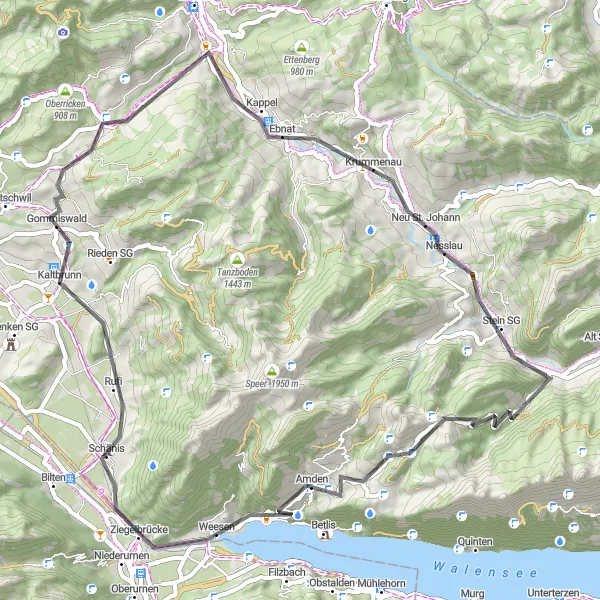
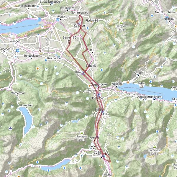
Churfirsten Epic Ride
Embark on an epic cycling adventure through the Churfirsten mountains
The Churfirsten Epic Ride is a breathtaking road cycling route that takes you through the majestic Churfirsten mountain range. Covering a total distance of 136 kilometers and featuring a challenging elevation gain of 3021 meters, this route is not for the faint-hearted. The highlight of the route is the famous Kaltbrunn village, where you will pass by at the 134-kilometer mark. From there, the route takes you through picturesque valleys, charming villages, and offers stunning views of the surrounding mountains. With a difficulty rating of 5 and an epicness rating of 5, this route is reserved for experienced cyclists seeking a legendary and unforgettable ride.
Gommiswald Gravel Adventure
Embark on an exciting gravel adventure through Gommiswald and experience the stunning natural landscapes.
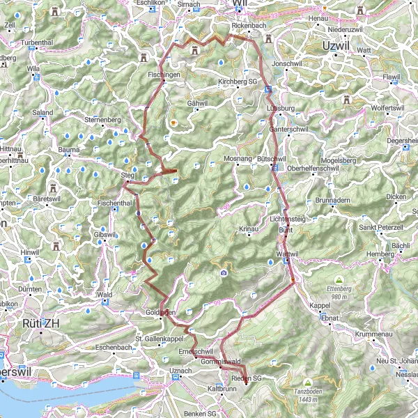
This gravel route takes you on an 82-km journey through Gommiswald, offering a unique blend of picturesque scenery and challenging terrain. With a total ascent of 1908 meters, this route is suitable for very well-trained amateurs seeking a moderate challenge. Throughout the ride, you will encounter highlights such as Goldingen, Farner, Hörnli, Fischingen, Vogelherd, Rickenbach, Lichtensteig, Iberg, and Uetliburg.
Embark on an epic gravel cycling adventure surrounding Gommiswald.
Immerse yourself in the rugged beauty of Ostschweiz with this epic gravel cycling route surrounding Gommiswald. Spanning a distance of 93 kilometers and an ascent of 2419 meters, this route is designed for adventurous cyclists seeking breathtaking landscapes. Explore Ebnat, a charming village known for its traditional Swiss architecture, before journeying to Stein SG, offering stunning natural surroundings. Capture the captivating photo spot of die sieben Churfirsten and experience the panoramic views of the ChäserruggGuck. Engulf yourself with nature on the breathtaking Panorama trail and soak in incredible views of Gulmen and Amden along the way. The Biberlichopf offers another fantastic viewpoint, signing off your incredible adventure through Ostschweiz.
Embark on a gravel adventure near Gommiswald with beautiful natural surroundings.
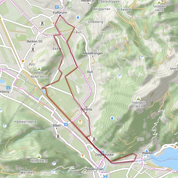
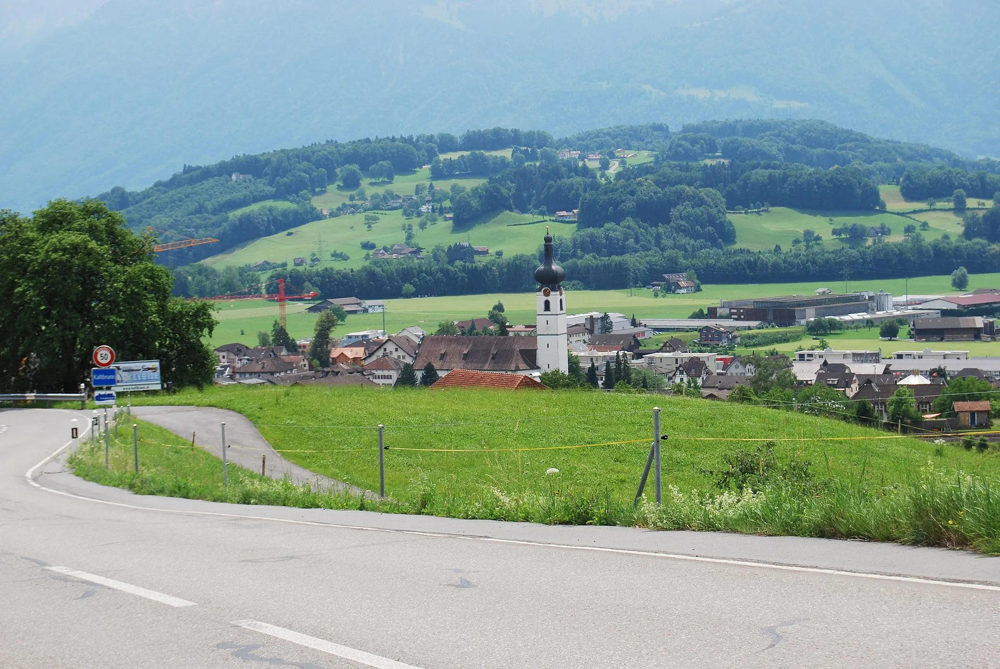
This gravel round-trip cycling route near Gommiswald offers a short yet breathtaking biking excursion amidst Ostschweiz's natural beauty. Spanning a distance of 28 kilometers with an ascent of 144 meters, it is ideal for those seeking a less strenuous but exciting adventure. The route includes highlights such as Schänis, a charming town with historical significance, and Weesen, a quaint lakeside village. Discover the Biberlichopf, a scenic overlook offering stunning panoramic views of the surrounding landscapes. The picturesque town of Kaltbrunn serves as a perfect lunch stop before returning to the starting point in Gommiswald.
Embark on a scenic gravel tour around Ernetschwil
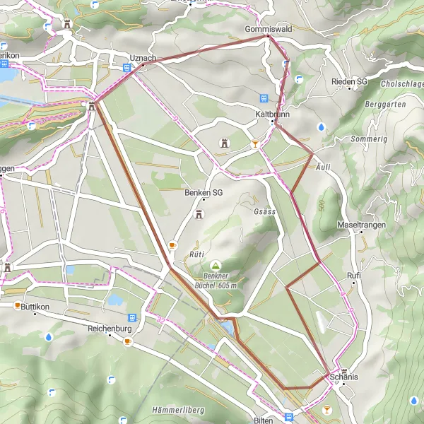
The Ernetschwil Exploration is a short yet scenic gravel route that takes you through the picturesque countryside surrounding Ernetschwil. Covering a distance of 24 kilometers and featuring a modest elevation gain of 217 meters, this route is perfect for beginners or those looking for a leisurely ride. The highlight of the route is the charming village of Kaltbrunn, located just 2 kilometers into the ride, where you can soak in the idyllic Swiss countryside. With a difficulty rating of 1 and an epicness rating of 2, this route offers a pleasant and leisurely cycling experience.
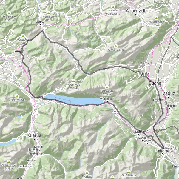
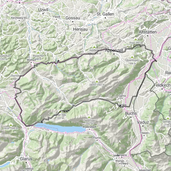
An epic road cycling route with stunning views of the Churfirsten mountain range
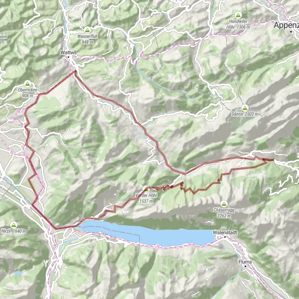
The Churfirsten Challenge is a fantastic road cycling route starting near Gommiswald. With a total ascent of 1682 meters and a distance of 127 kilometers, this route offers a challenging yet rewarding experience for cyclists. The highlight of this route is the breathtaking viewpoint of Ebnat, which offers panoramic views of the surrounding landscape. Other notable highlights include the beautiful town of Wildhaus, the picturesque town of Buchs, and the majestic Major peak. Overall, the Churfirsten Challenge is a must-try route for cyclists looking for a thrilling and scenic cycling adventure.
Glarus Adventure
Embark on a thrilling gravel adventure in Glarus
The Glarus Adventure is an exciting gravel route that takes you through the stunning landscapes of the Glarus region. Covering a distance of 56 kilometers and featuring an elevation gain of 458 meters, this route offers a mix of challenging climbs and fast descents. The highlight of the route is the Biberlichopf mountain, located at the 42-kilometer mark, where you can enjoy panoramic views of the Glarus region. From there, the route takes you through picturesque villages and scenic countryside, providing a true Swiss cycling experience. With a difficulty rating of 2 and an epicness rating of 4, this route is perfect for adventurous cyclists looking for a memorable ride.
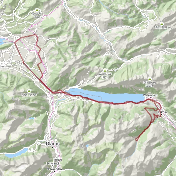
Embark on an epic gravel adventure around Lake Walensee
The Walensee Gravel Adventure is a thrilling cycling tour that circles the majestic Lake Walensee. Covering a total distance of 104 kilometers and featuring an elevation gain of 2334 meters, this gravel route is not for the faint-hearted. The highlight of the route is the famous Biberlichopf mountain, which you will pass by at the 86-kilometer mark. From there, the route takes you through picturesque villages, lush green valleys, and offers breathtaking views of the glittering lake. With a difficulty rating of 4 and an epicness rating of 5, this route is perfect for experienced gravel riders seeking a challenging and rewarding adventure.
Cycling routes nearby:
Nearby regions: