Tranquil Cycling Retreat in Ostschweiz
Cycling routes from Sankt Margrethen
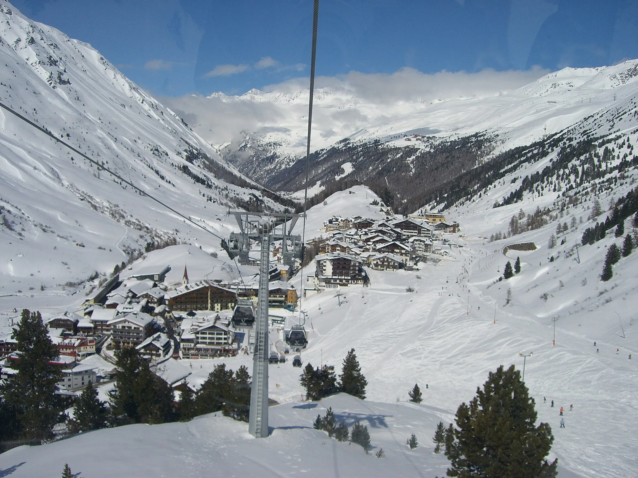
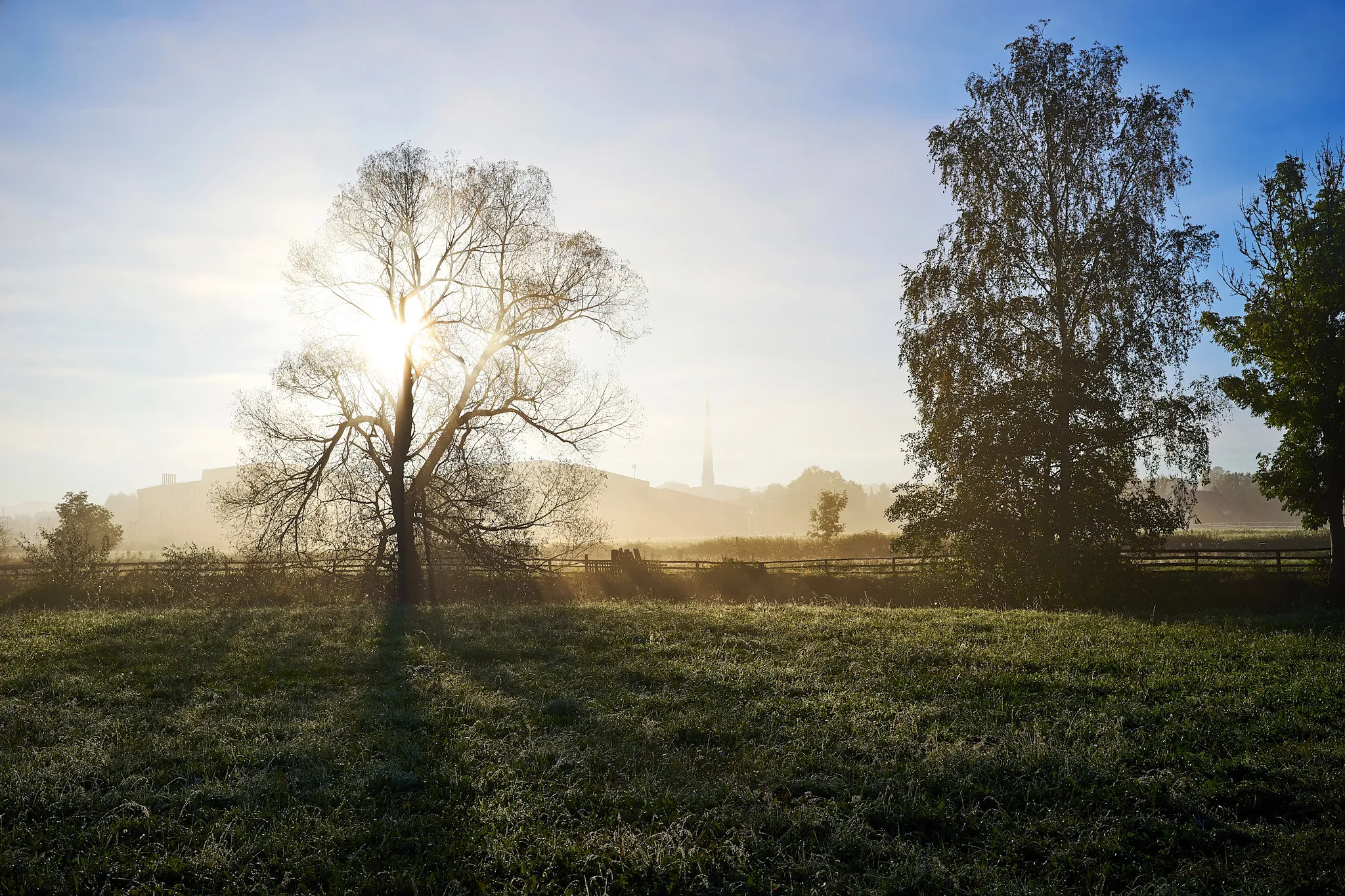
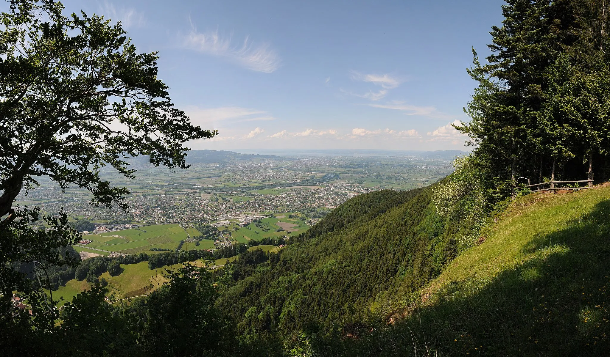
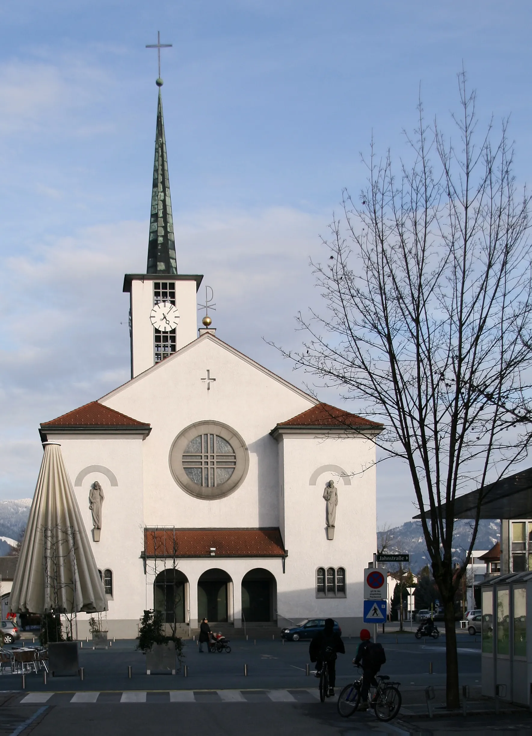
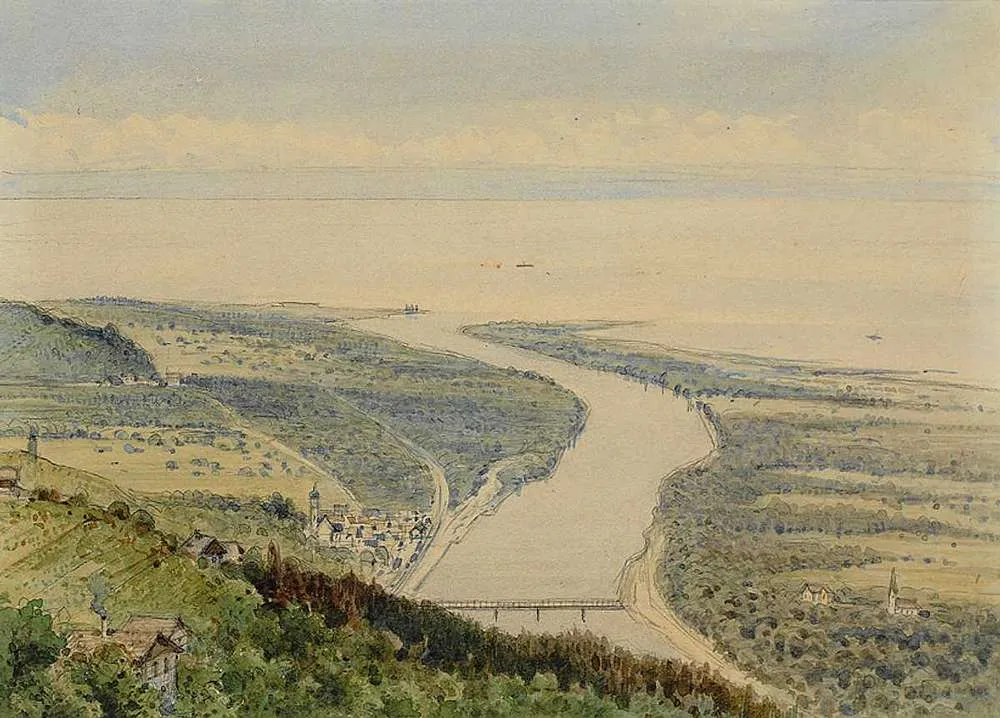
Sankt Margrethen, situated in Ostschweiz, Switzerland, is a charming locality for both road and gravel cyclists. The region offers well-maintained cycling paths and quiet country roads, allowing cyclists to explore the beautiful landscapes at their own pace. Nearby, cyclists can visit the renowned Appenzell region, known for its rolling hills and picturesque alpine scenery. Sankt Margrethen provides a perfect blend of peaceful cycling routes and stunning views, making it a great choice for a cycling getaway.
Experience the picturesque landscapes of St. Margrethen and Rheineck on this thrilling gravel route.
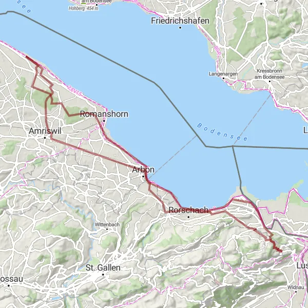
Embark on a gravel adventure through the stunning countryside of St. Margrethen and Rheineck. This 86 km route challenges riders with a 935 m ascent, providing both adrenaline and breathtaking views. Cyclists will pass through several highlights, including Rheineck, Salmsach, Schul- und Versuchsbetrieb Obstbau Arenenberg, Hefenhofen, Rorschacherberg, and Walzenhausen.
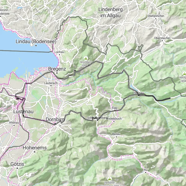
An epic road cycling route with stunning alpine views and challenging climbs.
This round-trip cycling route starting near Sankt Margrethen takes you on an unforgettable journey through the magnificent Alps. With a distance of 92 kilometers and an ascent of 1902 meters, this route is a true test of endurance and strength. The highlights along the way include the breathtaking mountain passes of Dornbirn and Losenpaß, as well as the picturesque towns of Bregenz and Lustenau. The difficulty level of this route is rated as 4 out of 5, suitable for well-trained amateurs. It offers a memorable cycling experience with scenic landscapes and challenging climbs.
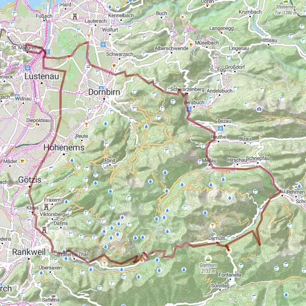
Embark on a thrilling gravel bike tour covering 113 km filled with epic climbs and stunning mountain vistas
Take on the ultimate challenge with this 113 km gravel bike route that will test your skills and stamina. With an impressive ascent of 3265 meters, this route showcases the true grit and determination of gravel cyclists. Highlights to look out for include Ammenegg, Schwarzenberg, and Faschinajoch, each offering unique experiences and panoramic views. Pedal through the enchanting landscapes of Damüls and be captivated by its natural beauty. From Alpwegkopf, soak in the majestic mountain vistas that will leave you breathless. This epic route guarantees an unforgettable adventure for gravel enthusiasts seeking a remarkable cycling experience.
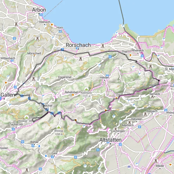
Embark on a road cycling adventure from Sankt Margrethen and conquer challenging climbs with breathtaking views.
Take on the road cycling challenge from Sankt Margrethen and experience the thrill of conquering steep ascents amidst stunning landscapes. This 54-kilometer route features a total ascent of 1,352 meters, offering a challenging test for cyclists seeking an adrenaline rush. Enjoy highlights such as Ruppenpass and Waldegg, known for their panoramic vistas, and visit the Aussichtsplattform in Rorschacherberg for a memorable viewpoint.
Embark on an exciting road trip to Reute and St. Gallen, exploring the beautiful landscapes and attractions along the way.
Hit the road on this 113 km route that takes you to the enchanting towns of Reute and St. Gallen. With an ascent of 1745 m, this route is perfect for well-trained amateurs seeking a challenge. Discover highlights such as Reute, Ruppenpass, St. Gallen, Biotop, Heubuch, Schönholzerswilen, Kümmertshausen, Salmsach, Rorschach, and Rheineck.
Explore gravel roads and stunning views on this cycling route around Sankt Margrethen.
Embark on a gravel adventure around Sankt Margrethen and enjoy the picturesque landscapes and beautiful highlights along the way. This 61-kilometer route offers diverse terrain and a moderate ascent, making it suitable for gravel enthusiasts of varying skill levels. Take in breathtaking views from the Aussichtsplattform in Thal and visit the charming town of St. Gallen, both highlights along the route.
A gravel cycling route through idyllic countryside and hidden gems of Ostschweiz.
Escape the hustle and bustle and immerse yourself in the tranquility of the Ostschweiz region with this gravel cycling route starting near Sankt Margrethen. With a distance of 53 kilometers and an ascent of 983 meters, this route showcases the hidden gems and picturesque landscapes of the region. Highlights along the way include the vibrant city of Bregenz, the scenic Möggers, and the peaceful Tatzen. The difficulty level of this route is rated as 2 out of 5, suitable for gravel cyclists of all levels. Embark on this adventure and discover the natural beauty and cultural richness of Ostschweiz.
Conquer a challenging road cycling route near Sankt Margrethen and experience ultimate adrenaline.
Embark on the ultimate road cycling challenge near Sankt Margrethen and push your limits on this 117-kilometer route with a total ascent of 2,671 meters. This route is perfect for experienced cyclists seeking an intense and rewarding adventure. Highlights include Josefshöhe, known for its stunning views, and the renowned Furkajoch pass, a legendary climb in the cycling world.
Test your endurance on this intense road route to the challenging destinations of Hard and Hohenfluh.
Embark on an adrenaline-fueled journey on this 103 km road route that leads you to the demanding towns of Hard and Hohenfluh. With an ascent of 2600 m, this route is reserved for the most dedicated cyclists seeking extreme physical challenges. Along the way, discover highlights like Hard, Gebhardsberg, Geserberg, Langen bei Bregenz, Galgenholz, Schindelberg, 1000 jährige Eibe, Hohenfluhalpkopf, Steinernes Tor, Lingenau, Alberschwende, Farnach, and Dünger und co.
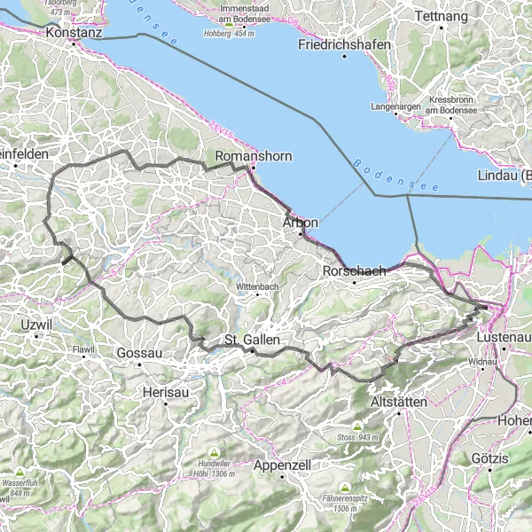
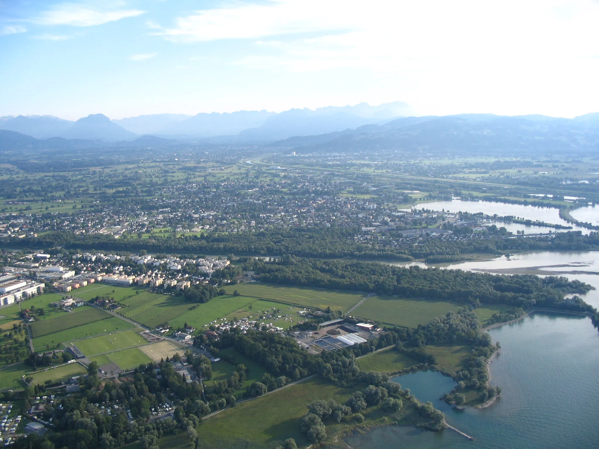
Lake Constance Loop
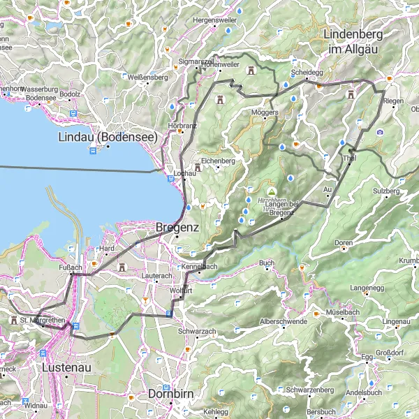
A road cycling route around the stunning Lake Constance with beautiful vistas along the way.
Experience the mesmerizing beauty of Lake Constance with this road cycling route starting near Sankt Margrethen. Covering a distance of 68 kilometers and ascending 957 meters, this route offers breathtaking views of the lake and the surrounding landscapes. Highlights along the way include the picturesque village of Hard, the scenic viewpoints at Aussichtspunkt, and the charming town of Lustenau. The difficulty level of this route is rated as 3 out of 5, suitable for experienced cyclists. Immerse yourself in the enchanting atmosphere and natural splendor of Lake Constance on this memorable cycling journey.
Cycling routes nearby:

Nearby regions: