Challenging climbs and scenic routes in Trogen
Cycling routes from Trogen
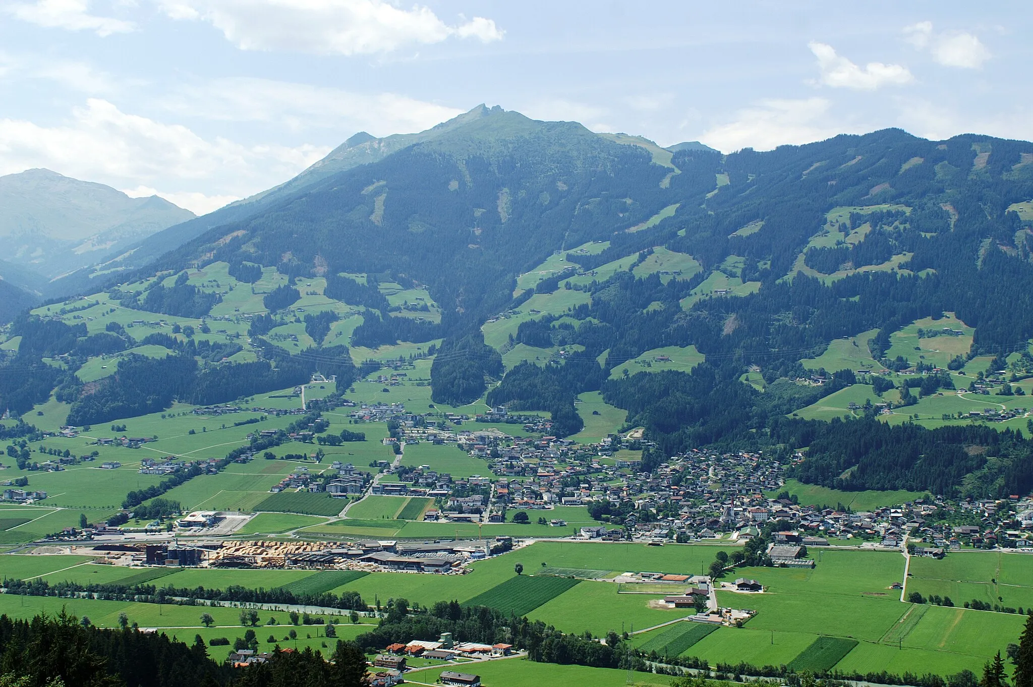
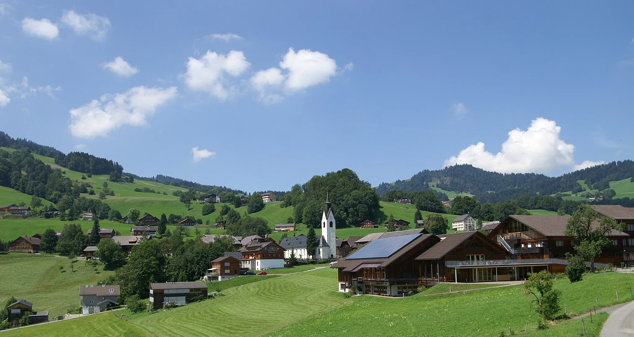
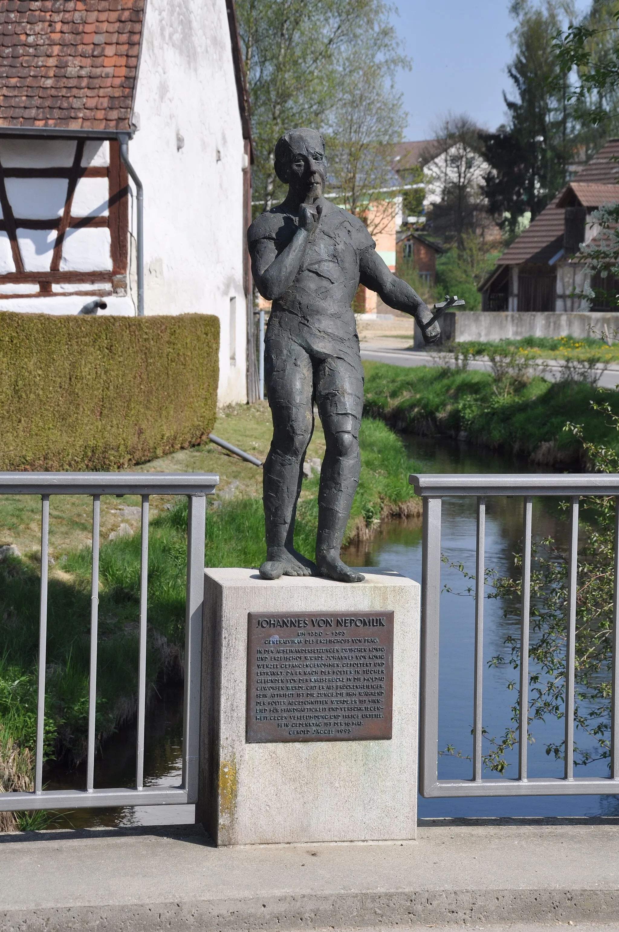
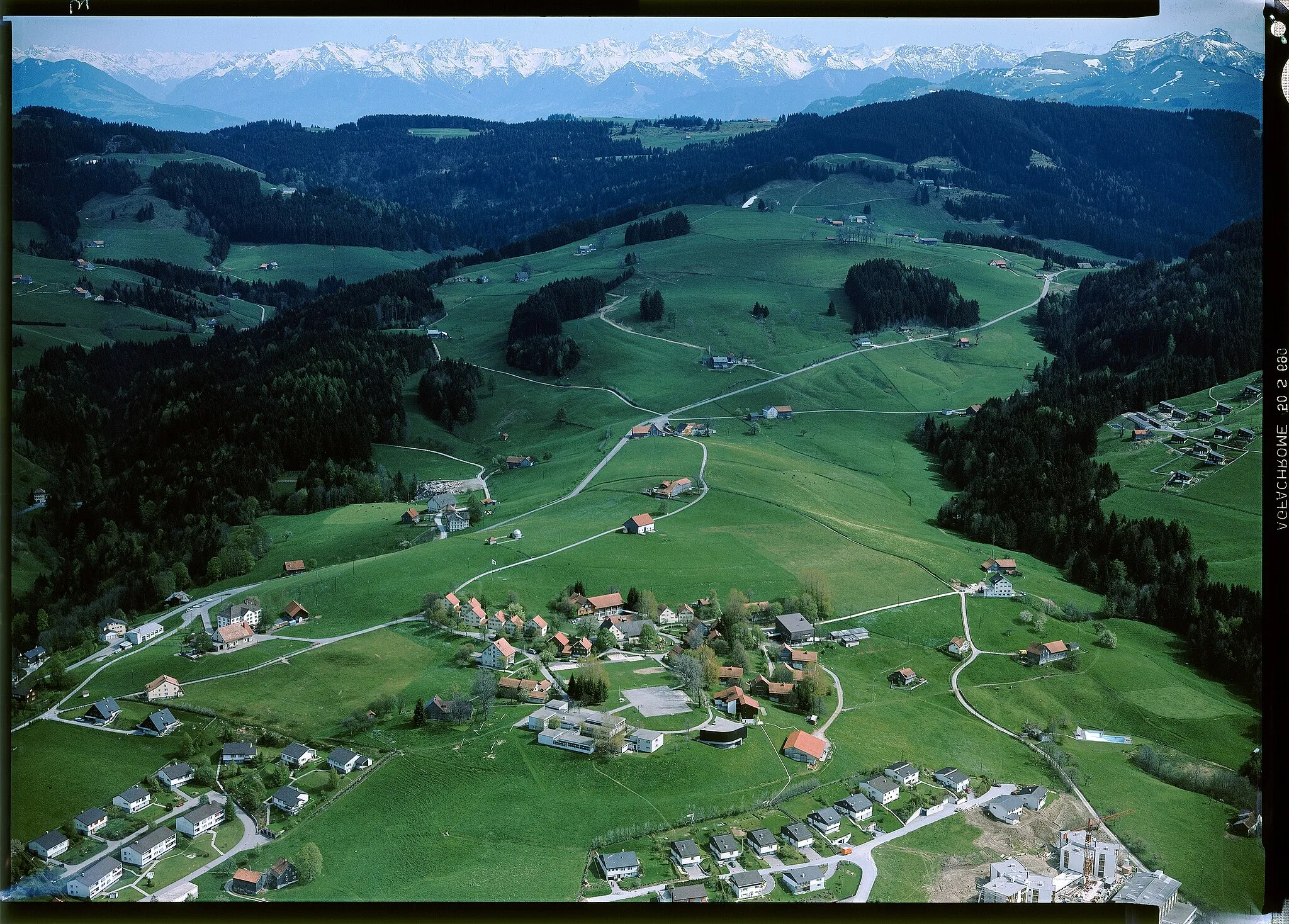
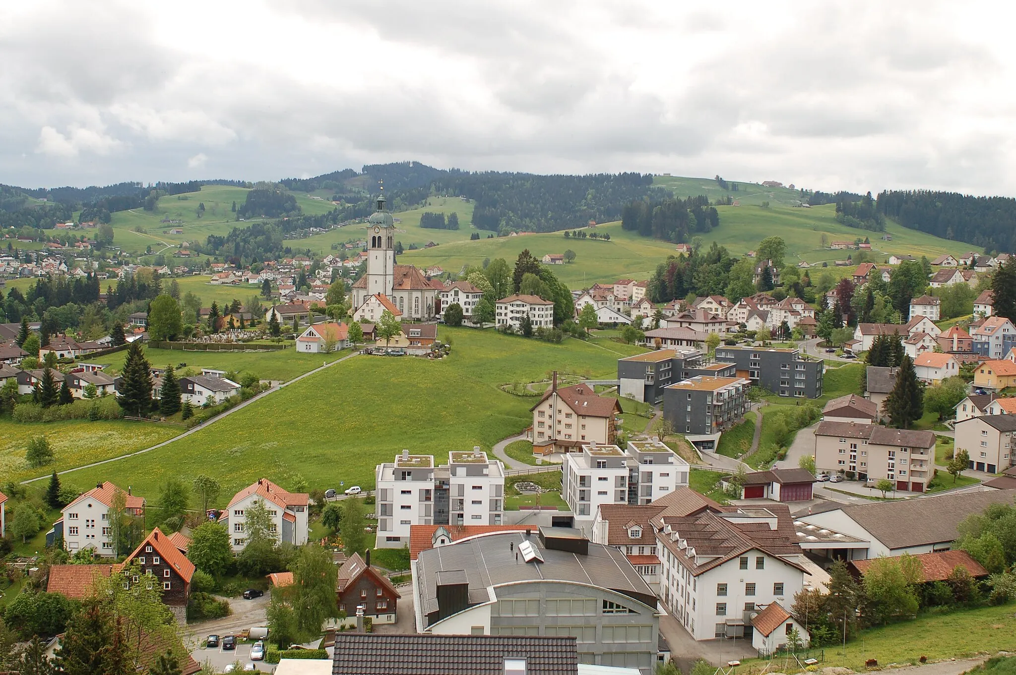
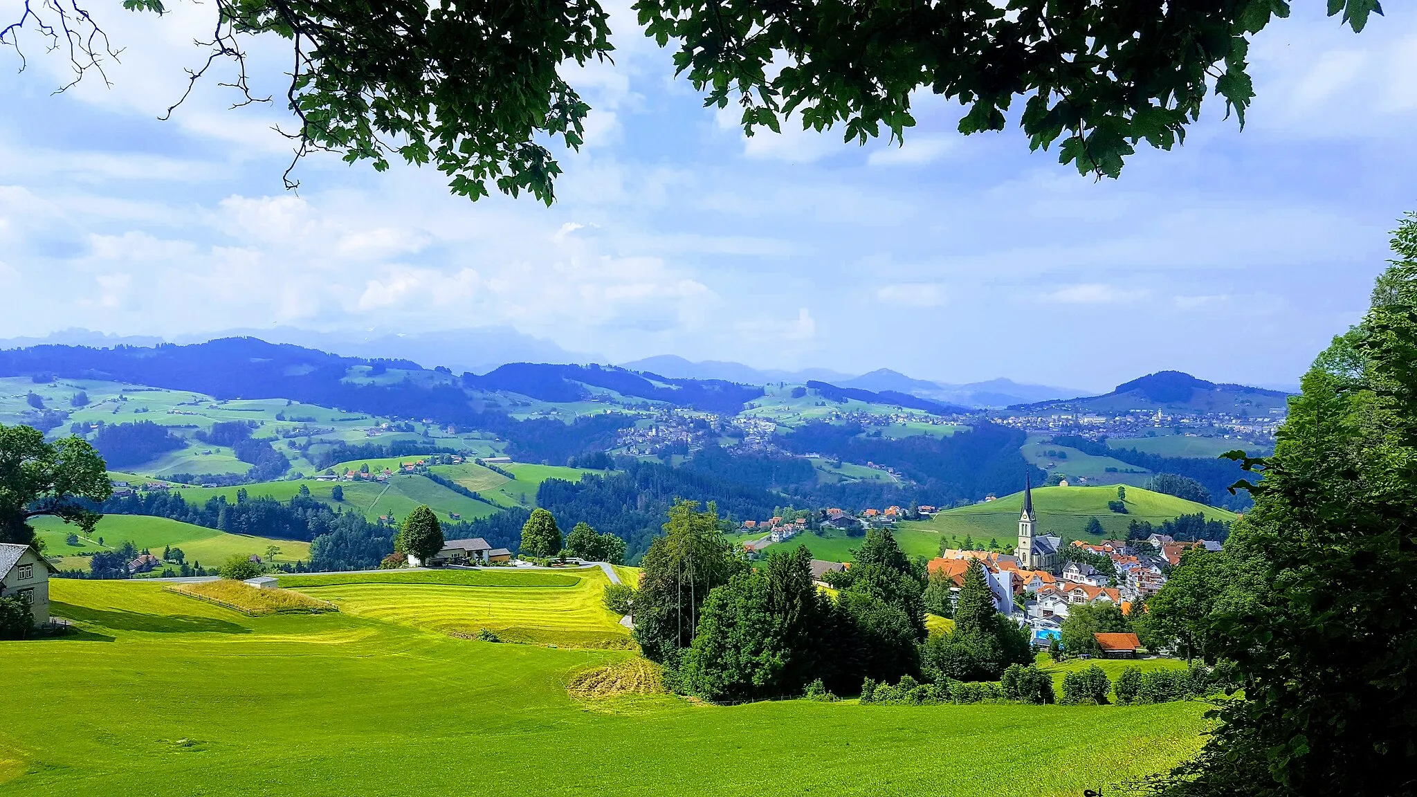
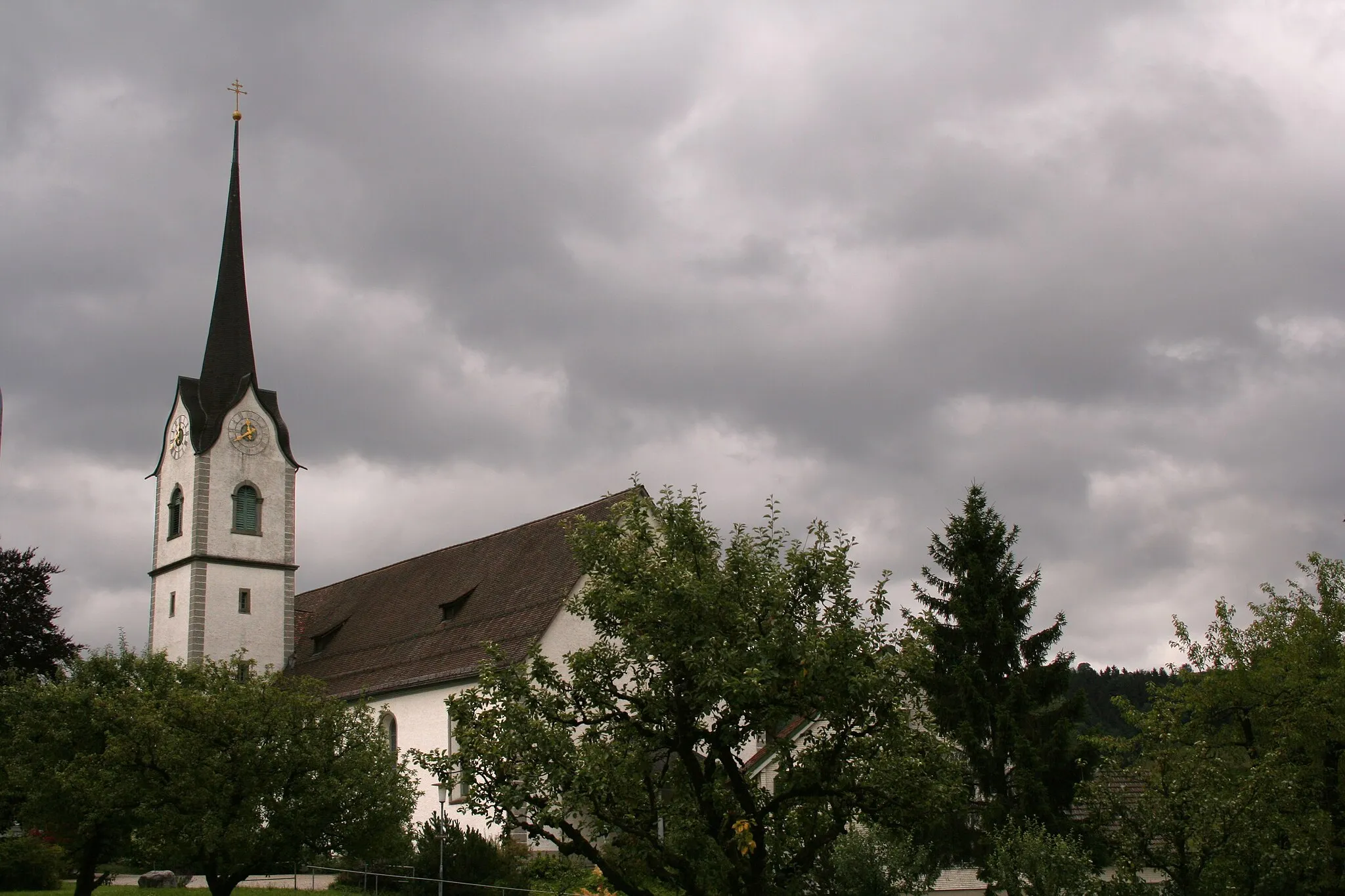
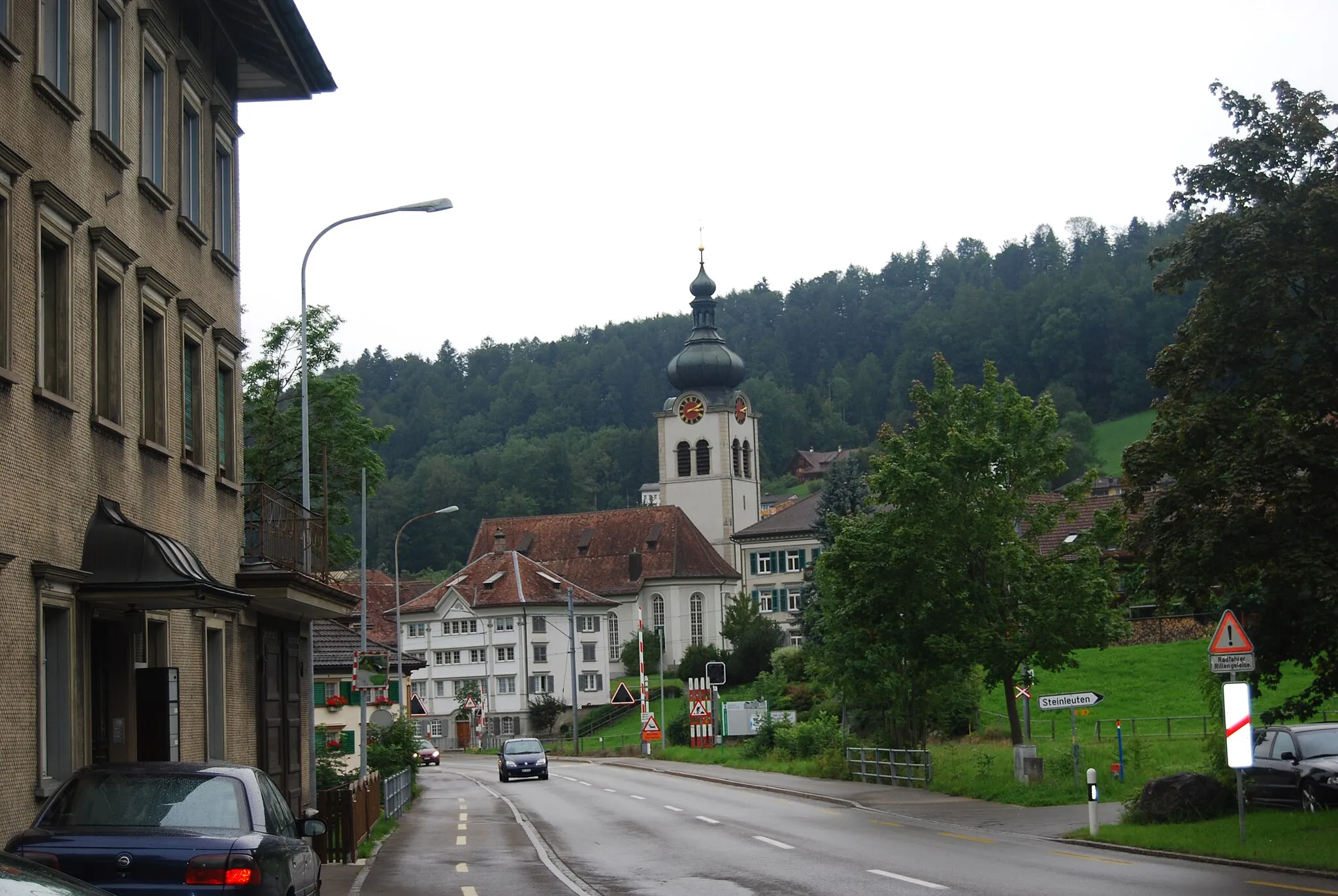
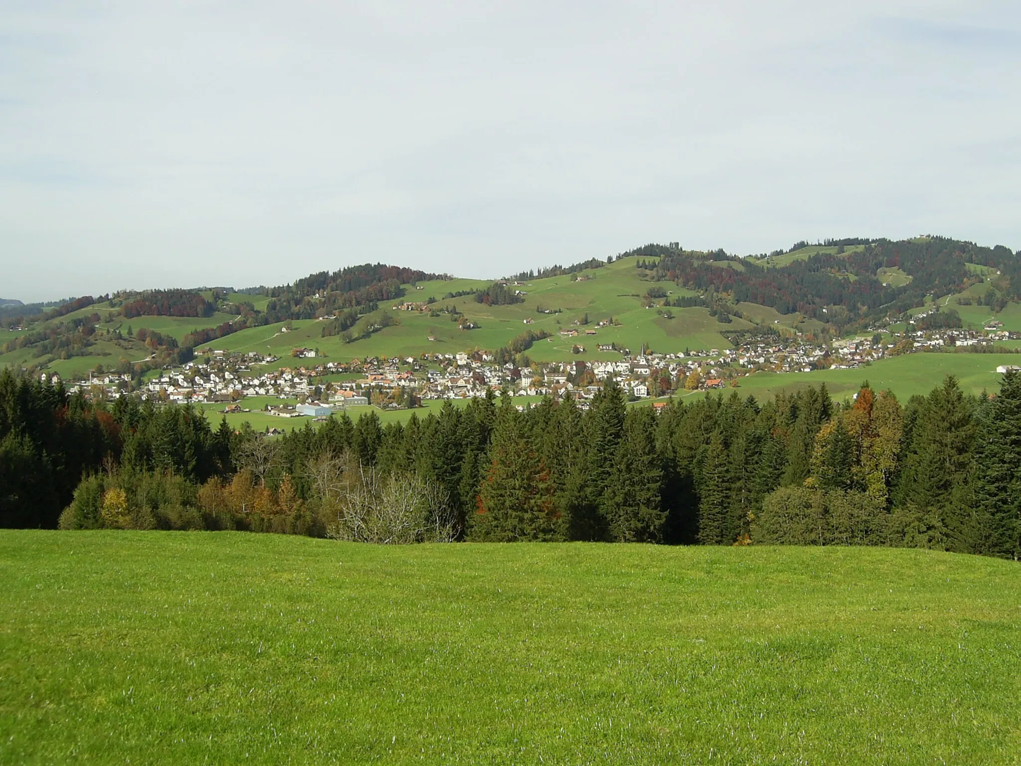
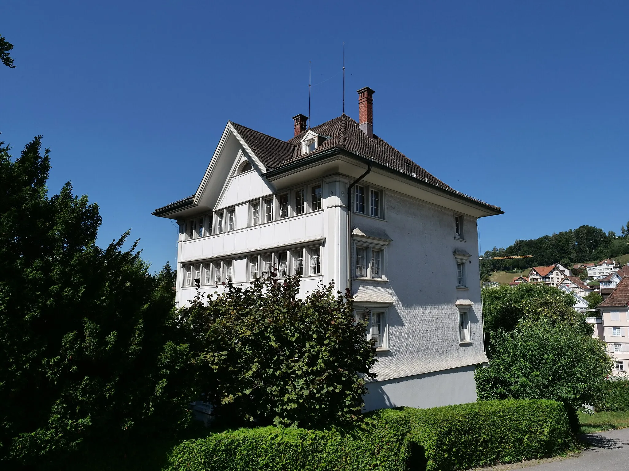
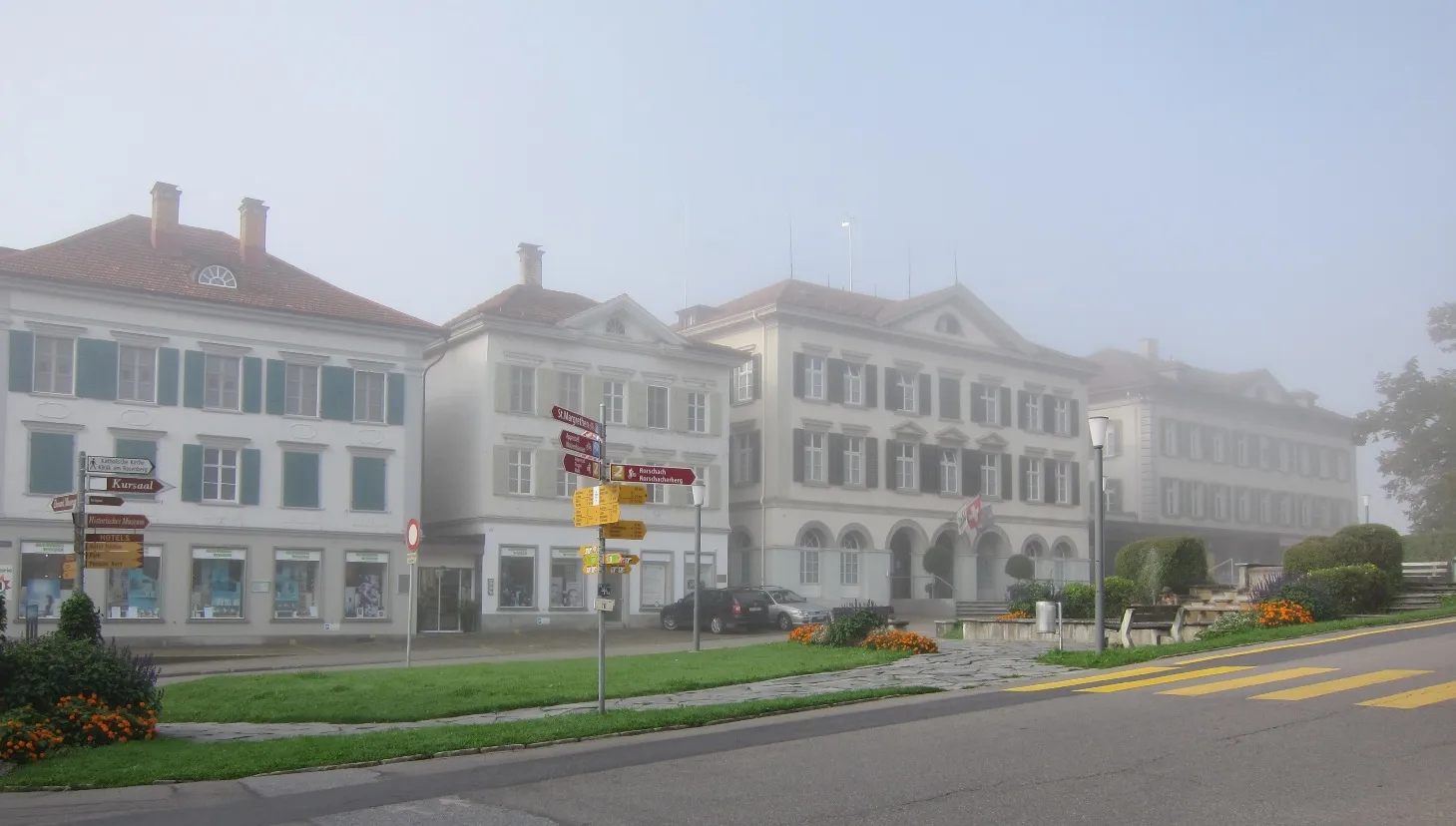
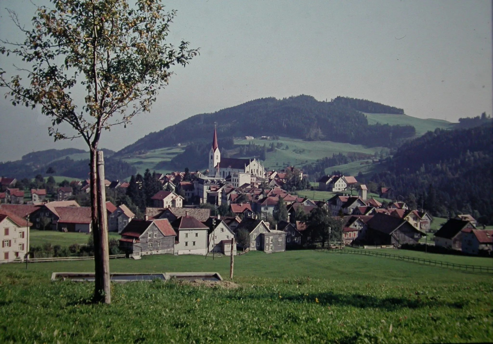
Trogen is a picturesque locality in Ostschweiz, Switzerland. As a cyclist, Trogen offers a mix of scenic road and gravel routes. The region is known for its rolling hills and beautiful landscapes, providing a challenging yet rewarding cycling experience. Trogen is home to the famous Trogen Climb, which attracts professional cyclists and enthusiasts alike. The town itself has a charming atmosphere, with traditional Swiss architecture and cozy cafes where cyclists can rest and refuel. With its combination of natural beauty and cycling opportunities, Trogen is a great destination for cyclists looking for both a physical and visual adventure.
A challenging ride through the Appenzeller Alps
Challenge yourself with an exhilarating cycling journey through the stunning Appenzeller Alps. Experience steep ascents, winding roads, and breathtaking landscapes as you explore this picturesque region known for its traditional Swiss culture.
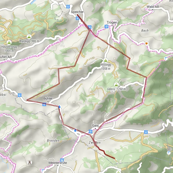
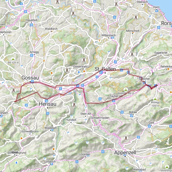
Experience thrilling gravel cycling on Hohe Buche loop
The Hohe Buche Gravel Loop takes you on a thrilling gravel cycling adventure through the scenic landscapes of the Hohe Buche region. With an ascent of 791 m and a distance of 25 km, this route is suitable for intermediate gravel cyclists. Along the way, you can enjoy the tranquility of the quaint town of Trogen, conquer the challenging Gäbris ascent, and take in the panoramic views from the Hoher Hirschberg peak. The stunning landscapes continue as you ride through the Hohe Buche forest and encounter the picturesque Hohe Buche viewpoint. The final highlight of this loop is the peaceful town of Speicher, where you can relax and enjoy the beautiful surroundings.
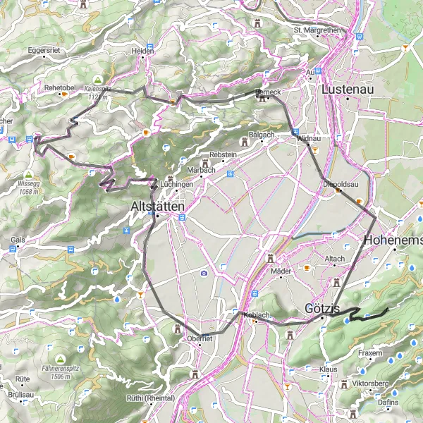
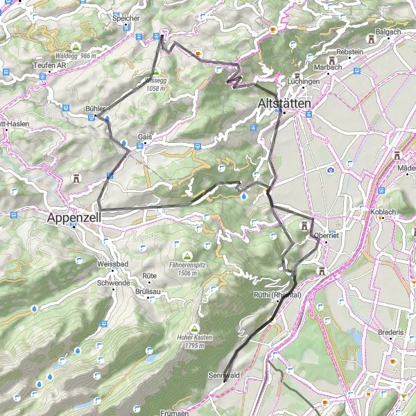
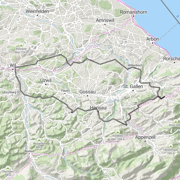
An adventurous road cycling route from Trogen to the Austrian border
Embark on an adventurous road cycling route from Trogen to the Austrian border. With a total ascent of 1585 meters and a distance of 67 kilometers, this challenging route is suitable for well-trained amateurs seeking a thrilling ride. The epicness of this route is rated at 4, offering a mix of scenic beauty and exciting highlights.
Discovering Gravel Gems
Uncover hidden gravel gems on this adventurous route starting near Trogen
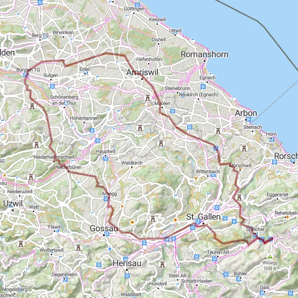
Embark on an exciting gravel adventure and uncover hidden gems along this route starting near Trogen. With moderate elevation gain and diverse landscapes, this route is suitable for intermediate gravel cyclists seeking exploration and discovery. Stop by Waldegg to enjoy stunning vistas of the surrounding countryside before heading to St. Gallen, known for its rich history and cultural heritage. Niederbüren offers a peaceful setting amidst rolling hills and picturesque farms. Don't miss Bürglen TG, a charming town known for its traditional Swiss architecture and friendly locals. Amriswil and Speicher provide further diversity with their scenic beauty and cultural gems. Finally, reach Lake Constance Viewpoint for a stunning panorama of the famous lake and its surroundings. This route guarantees adventure and exploration at every turn.
An adventurous gravel route exploring the paths around Trogen
Get off the beaten path and explore the gravel roads around Trogen on this adventurous route. With an ascent of 897 meters and a distance of 48 kilometers, this route is suitable for gravel bike enthusiasts. The epicness of this route is rated at 3, providing an exciting gravel cycling experience.
Rheintal Excursion
A scenic ride along the Rhine Valley
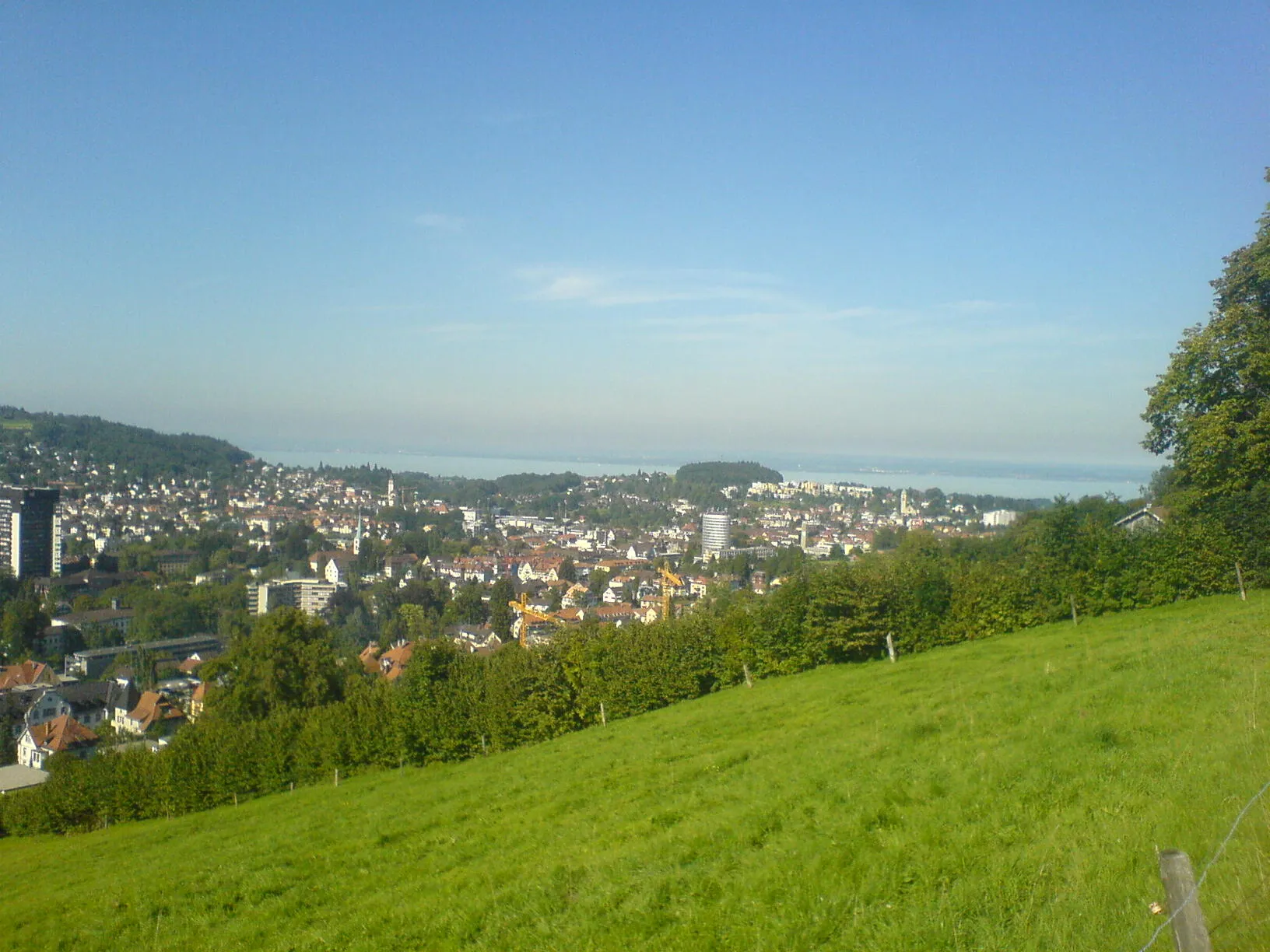
Cycle along the picturesque Rhine Valley, passing through charming towns and vineyards. Enjoy breathtaking views and discover the rich historical and cultural heritage of the region. This route offers a mix of scenic beauty and interesting landmarks.
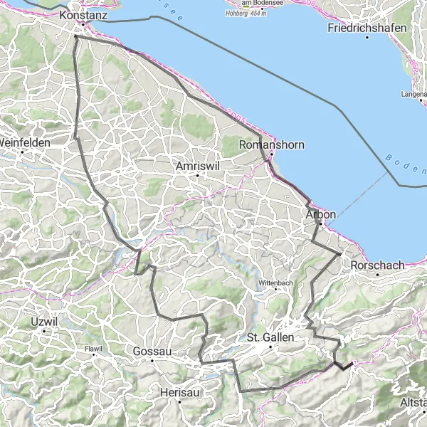
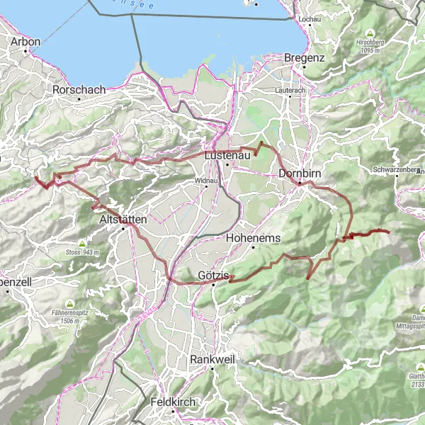
Embark on an epic gravel adventure through Eastern Switzerland
The Eastern Switzerland Epic Gravel Adventure is a challenging and epic cycling route that takes you through the diverse landscapes of Eastern Switzerland. With an ascent of 1643 m and a distance of 88 km, this route is recommended for experienced gravel cyclists. Along the way, you will encounter the peaceful Waldegg forest, explore the ruins of the Rosenberg Castle, and conquer the Geissberg climb. The route also takes you through the historical village of Oberbüren and the picturesque town of Mörschwil. The highlight of this adventure is the Lake Constance Viewpoint, where you can enjoy panoramic views of Lake Constance and the surrounding mountains.
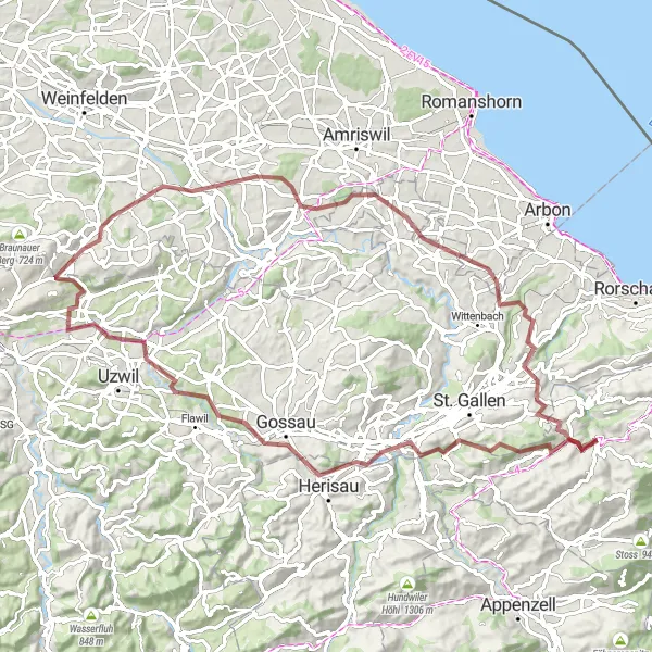
A scenic cycling route from Trogen to Lake Constance
This round-trip cycling route takes you from Trogen to Lake Constance, offering stunning views of the countryside and several highlights along the way. With a total ascent of 1412 meters and a distance of 102 kilometers, this road route is suitable for well-trained amateurs. The epicness of this route is rated at 4, providing an exciting cycling experience.
Hills and Valleys
Ride through picturesque countryside with rolling hills and scenic views.
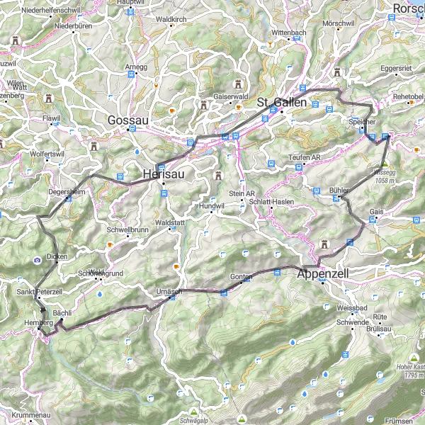
Discover the beauty of Trogen and its surrounding region with this road cycling route. The route takes you through charming villages, lush fields, and serene forests, offering breathtaking views of the Swiss countryside. With a total distance of 93 kilometers and an ascent of 1,539 meters, this route is challenging but achievable for well-trained amateur riders. The difficulty level is 3 out of 5.
Embark on a challenging gravel adventure through the scenic Swiss countryside.
Get off the beaten path and explore the beauty of Ostschweiz on this gravel cycling route. With a total distance of 96 kilometers and an ascent of 2,970 meters, this route is perfect for experienced riders seeking an adventurous challenge. The difficulty level is 5 out of 5.
Cycling routes nearby:
Nearby regions: