Conquer the legendary Col de Jaman in the cycling paradise of Epalinges
Cycling routes from Epalinges
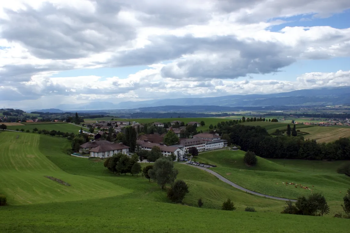
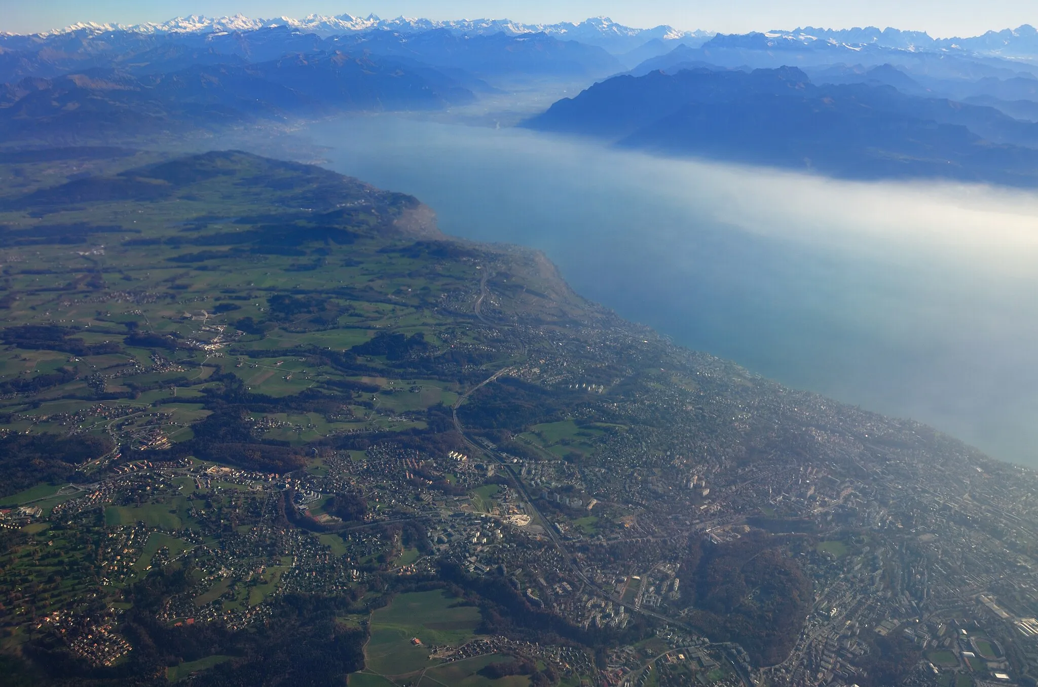
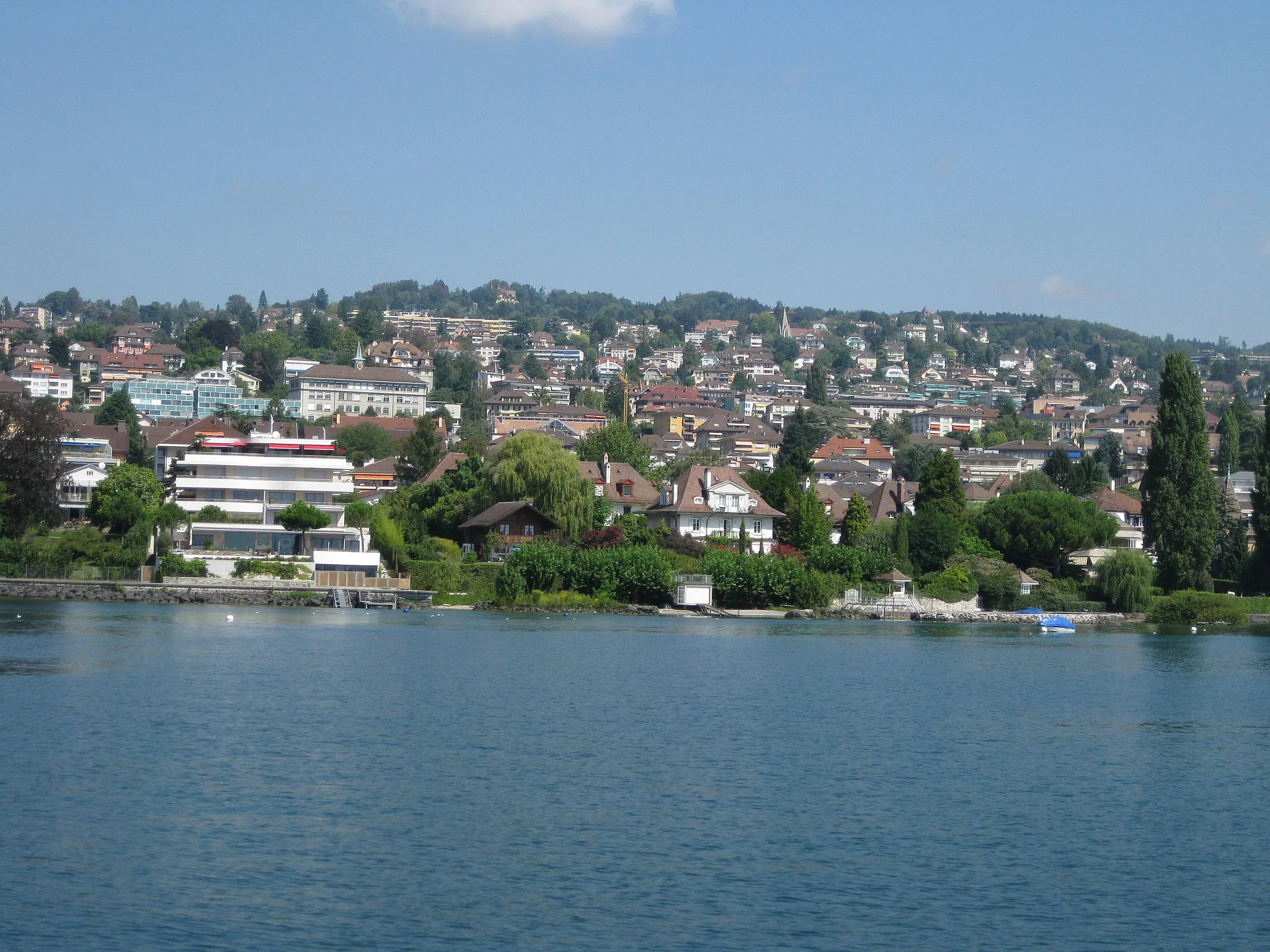
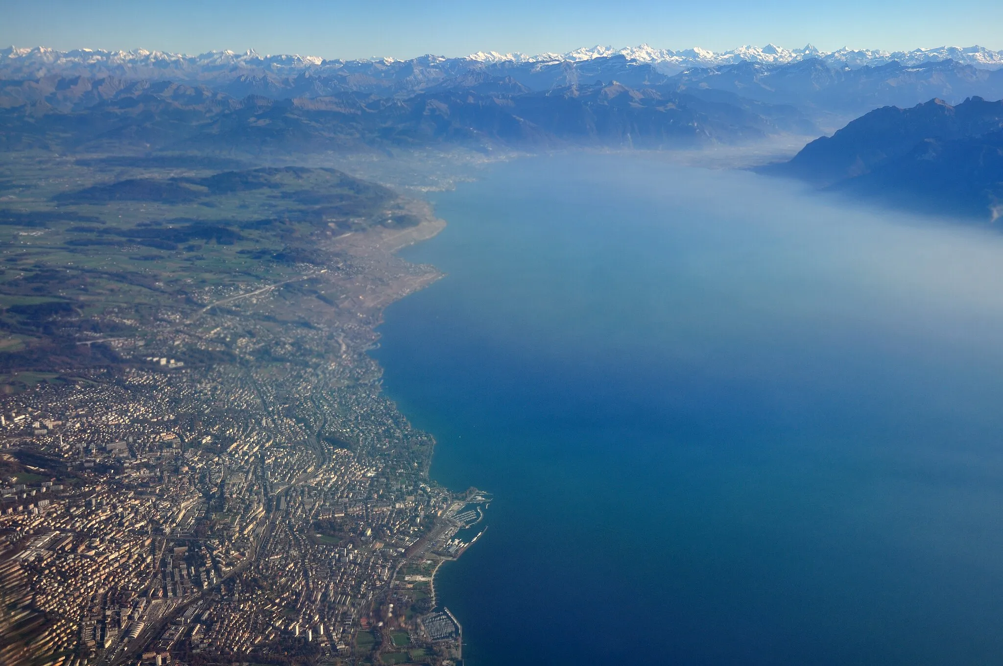
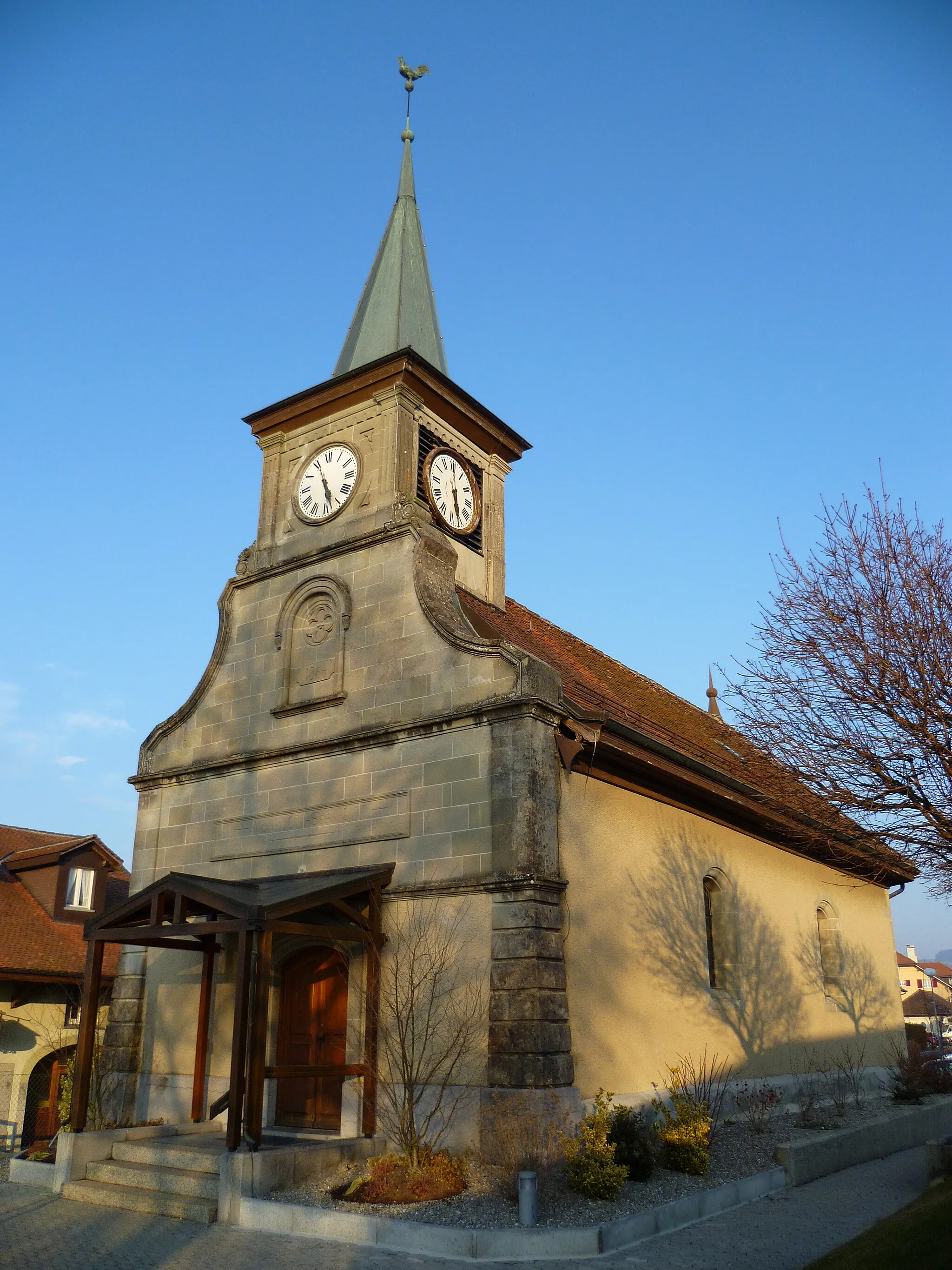
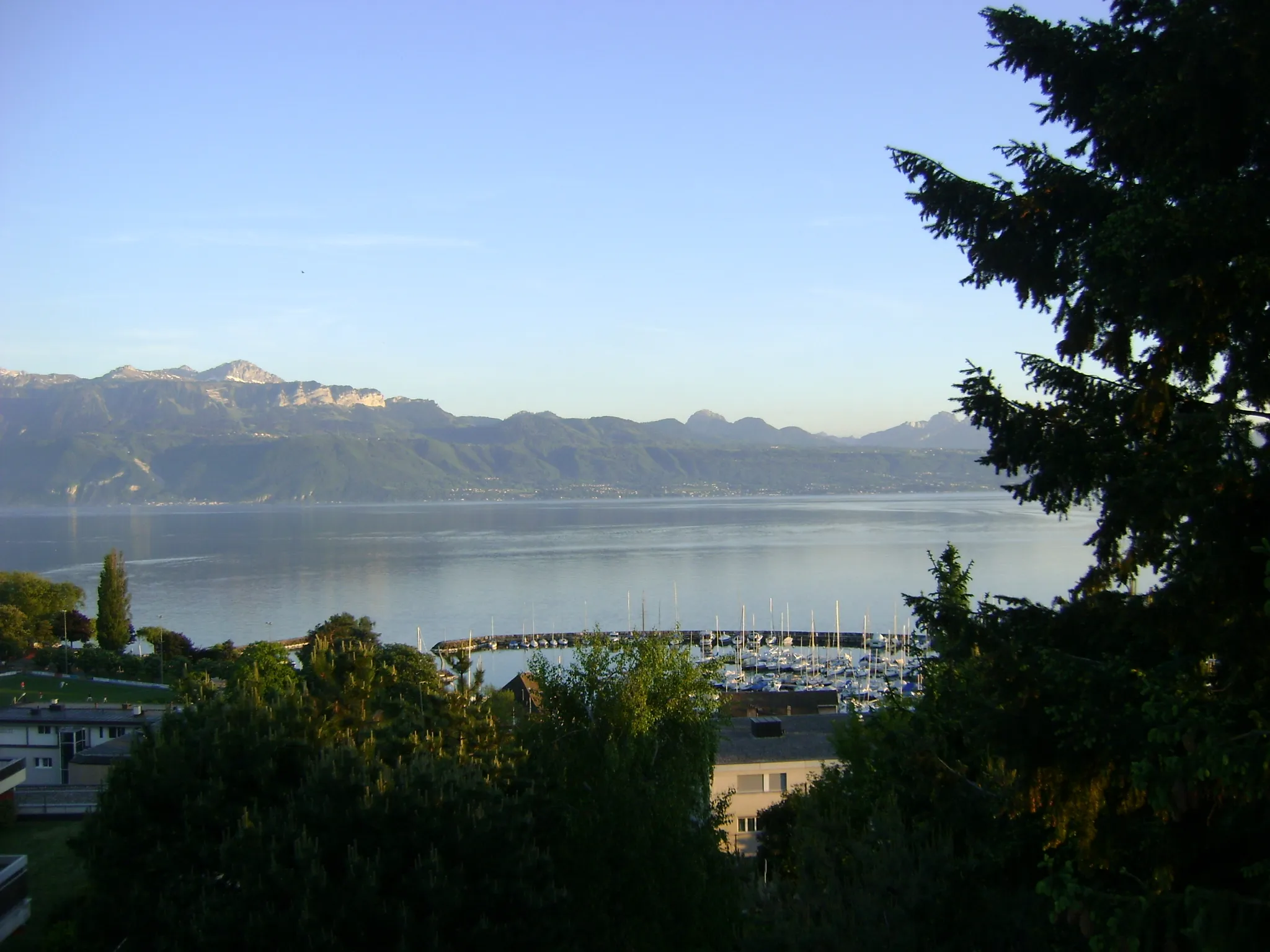
Epalinges, located in Région lémanique, Switzerland, is a haven for cyclists. The locality offers well-maintained roads and a network of cycling paths that meander through beautiful landscapes and charming villages. The region is best known for its proximity to the famous Tour de France climb, Col de Jaman. Cyclists can push their limits on this iconic ascent or explore the surrounding Jura mountains. Epalinges also offers breathtaking views of Lake Geneva, making it an idyllic base for cycling adventures. With its cycling heritage and stunning surroundings, Epalinges is a must-visit destination for avid cyclists.
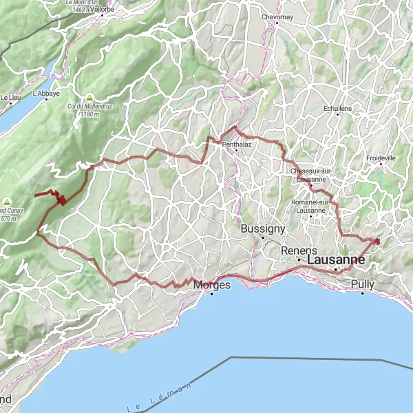
Experience the beauty of Goumoens-la-Ville on this gravel tour
Immerse yourself in the charming landscapes of Goumoens-la-Ville with this gravel cycling tour starting near Epalinges. The route offers a total ascent of 848 meters and covers a distance of 58 kilometers, making it suitable for cyclists looking for a shorter, yet rewarding adventure. Highlights include Château Saint-Maire, Esplanade de Montbenon, Senarclens, Tine de Conflens, and Cugy VD.

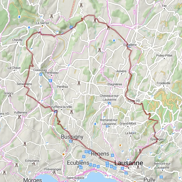
Explore the diverse landscapes and charming villages of the Jura region on this scenic gravel route near Epalinges
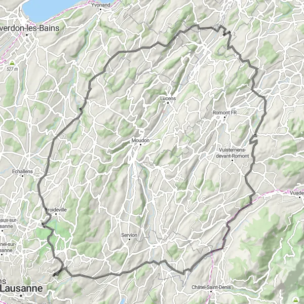
Indulge in a real adventure through the stunning landscapes of the Jura region. This gravel route presents a perfect opportunity to explore the undulating terrain, picturesque villages, and lush greenery of the area. With an ascent of 1116 meters over a distance of 82 kilometers, this route is suitable for well-trained amateur cyclists. The epicness of this route is ranked at 2, promising a memorable and enjoyable journey.
Préverenges Circuit

Explore the beauty of Préverenges and its surroundings
Discover the delights of Préverenges and its enchanting countryside with this challenging road cycling route. The Préverenges Circuit takes you through scenic landscapes, charming villages, and historic landmarks. With a total ascent of 1652 meters and a distance of 106 kilometers, this route is suitable for experienced cyclists looking for a rewarding challenge near Epalinges. Highlights include Gilly, Belvédère, Marchissy, Berolle, and Moiry.

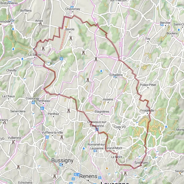
Discover charming villages and rolling landscapes on this gravel trail near Epalinges
Immerse yourself in the quintessential Swiss countryside with this scenic gravel trail. As you pedal through charming villages and rolling landscapes, you'll be enchanted by the beauty of the area. The moderate difficulty level of this route, with an ascent of 1105 meters over 54 kilometers, is suitable for experienced amateur cyclists. The epicness of this route is ranked at 2, making it an enjoyable and memorable experience.

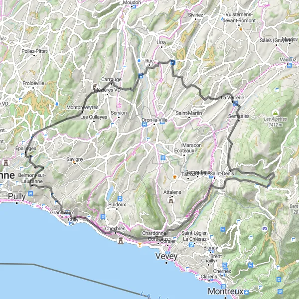
Discover the beautiful Esplanade de Montbenon
Experience a scenic and challenging road cycling route starting near Epalinges. The Montbenon Loop takes you through picturesque towns and countryside, offering stunning views and a total ascent of 1175 meters. With a distance of 69 kilometers, this route is ideal for well-trained amateurs looking for a rewarding cycling adventure. Discover the charm of Préverenges, Vaux, Ballens, La Chaux, Bournens, and Couvert aux Fayards along the way.
The Lausanne Hills Road Loop
Conquer challenging ascents and enjoy thrilling descents on this scenic road loop near Epalinges
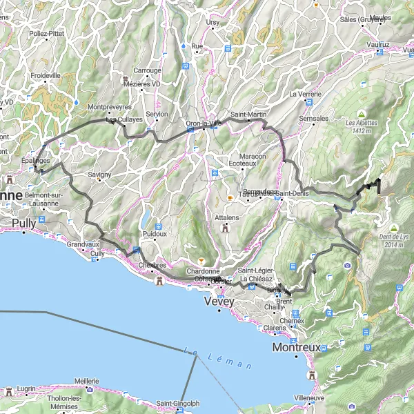
Get ready for an exhilarating road cycling experience through the Lausanne hills. With challenging ascents and thrilling descents, this route offers a mix of breathtaking landscapes and rewarding cycling stretches. The difficulty level of this 78-kilometer loop with an ascent of 1595 meters is rated at 4, making it suitable for well-trained amateur cyclists. The epicness of this route is a solid 3, ensuring a memorable ride.
Gravel Adventure
Embark on an off-road gravel adventure near Epalinges
Experience the thrill of gravel cycling with this adventurous route starting near Epalinges. The Gravel Adventure takes you on challenging terrain, offering a total ascent of 1969 meters and a distance of 92 kilometers. Perfect for cyclists seeking an off-the-beaten-path experience, this route introduces you to the beauty of Château de Préverenges, Bière, Le Belvédère, Montricher, Daillens, and Le Mont.
The Water Divide Gravel Loop
Ride through the picturesque villages and experience the water divide between the Rhône and Rhine rivers
Embark on a scenic gravel adventure through Epalinges and surrounding areas. This route takes you through beautiful countryside, charming villages, and offers stunning views of the water divide between the Rhône and Rhine rivers. With a moderate ascent of 773 meters over a distance of 60 kilometers, this loop is suitable for well-trained amateur cyclists. The epicness of this route is rated a solid 3.
Montheron Adventure
Embark on a thrilling cycling adventure through Montheron
Gear up for a challenging road cycling route starting near Epalinges and venture into the scenic beauty of Montheron. With a total ascent of 1550 meters and a distance of 103 kilometers, this route is designed for well-trained amateur cyclists seeking a thrilling and rewarding experience. Discover highlights such as Bercher, Sassel, Ecoteaux, and Forel as you push your limits.
Conquer demanding climbs and witness awe-inspiring alpine landscapes on this road cycling epic near Epalinges
Prepare yourself for a challenging road cycling adventure that takes you through some of the most breathtaking alpine landscapes in the region. With demanding climbs and stunning descents, this 87-kilometer route with an ascent of 2290 meters will test even the most seasoned cyclists. The difficulty level of this epic ride is rated at 5, making it suitable for experienced cyclists seeking a true alpine challenge. The epicness rating is 4, ensuring an unforgettable journey.
Cycling routes nearby:
Nearby regions: