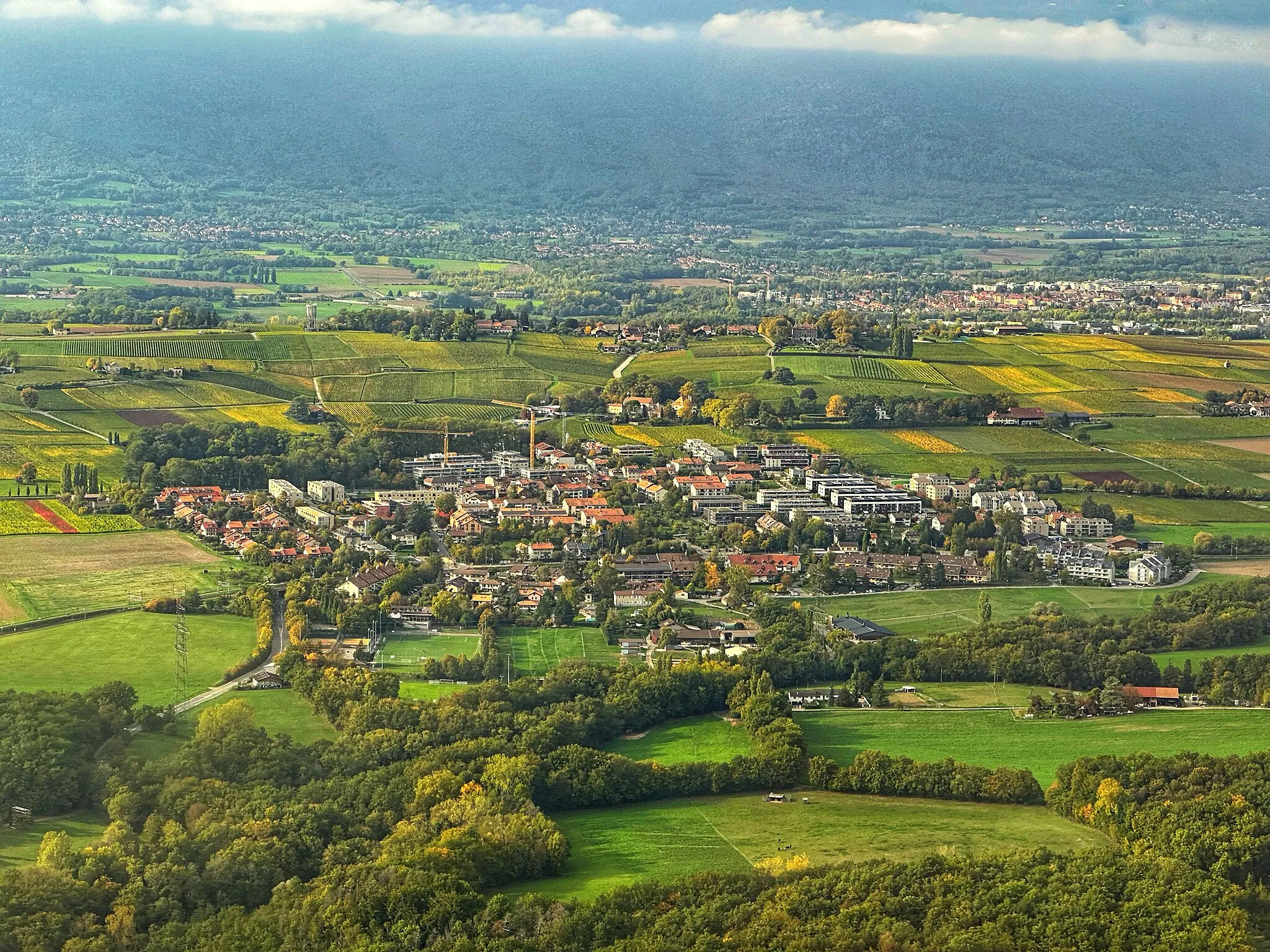
Immerse yourself in the beauty of Satigny's vineyards and mountain scenery
Cycling routes from Satigny
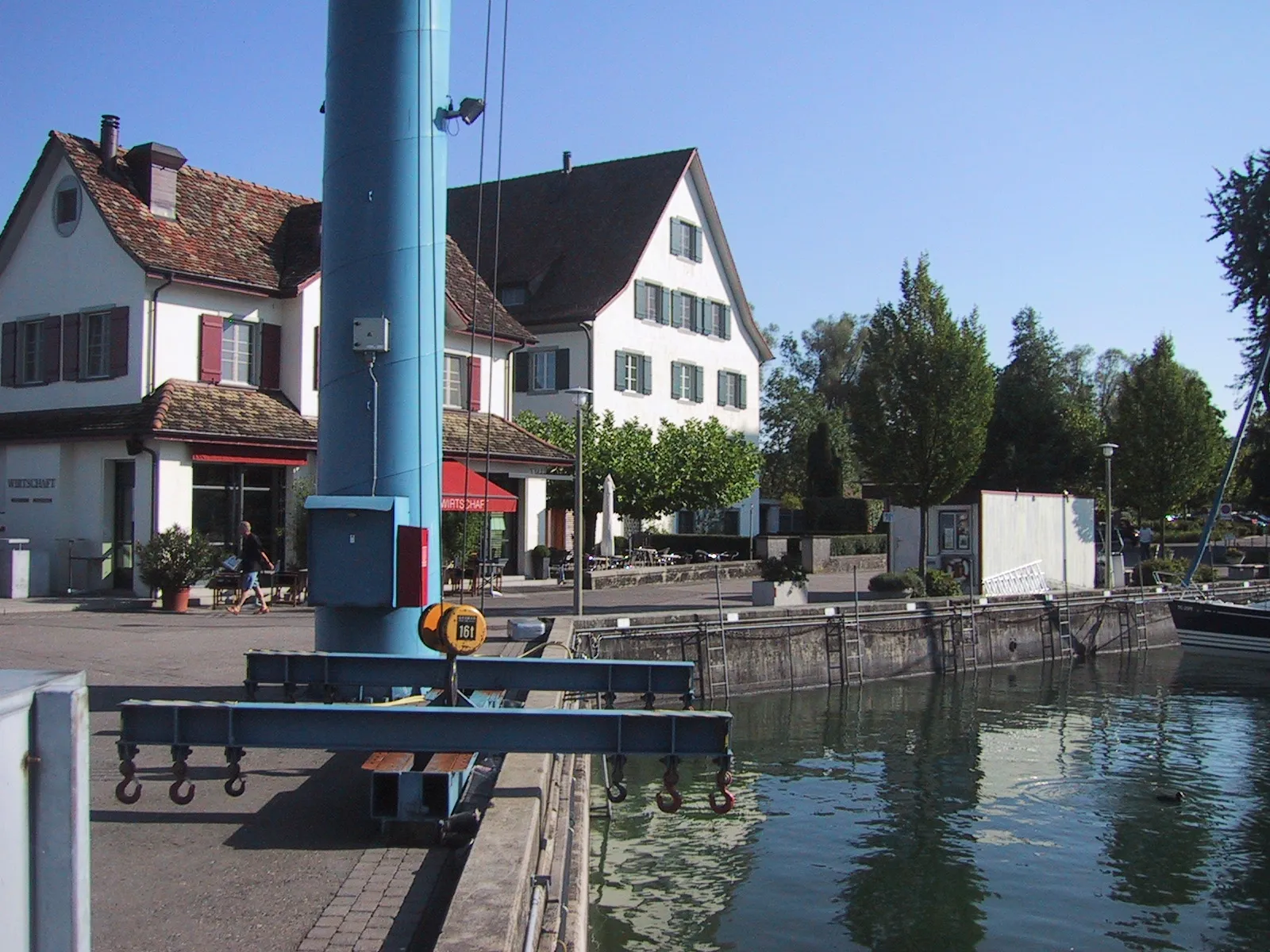
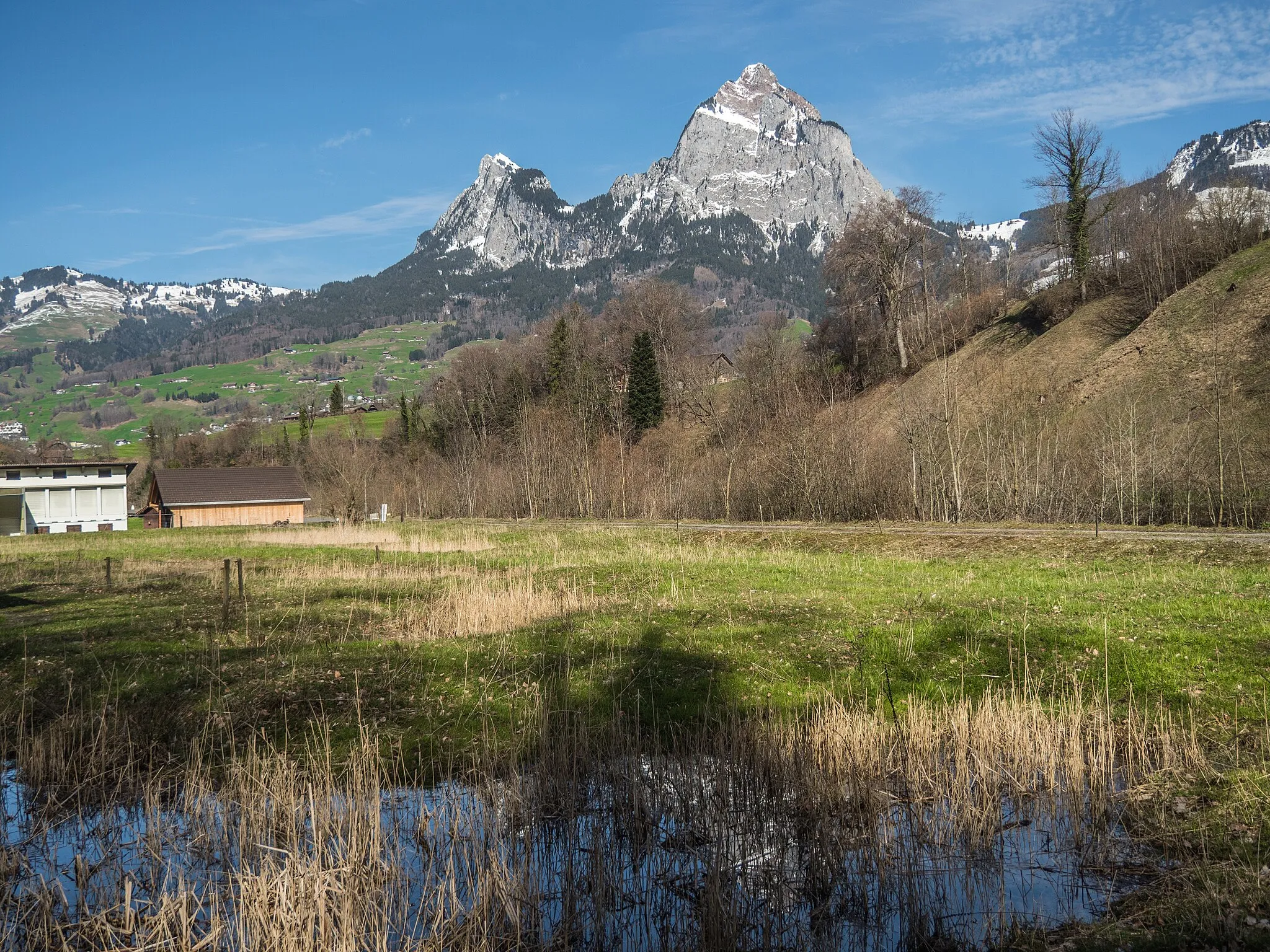
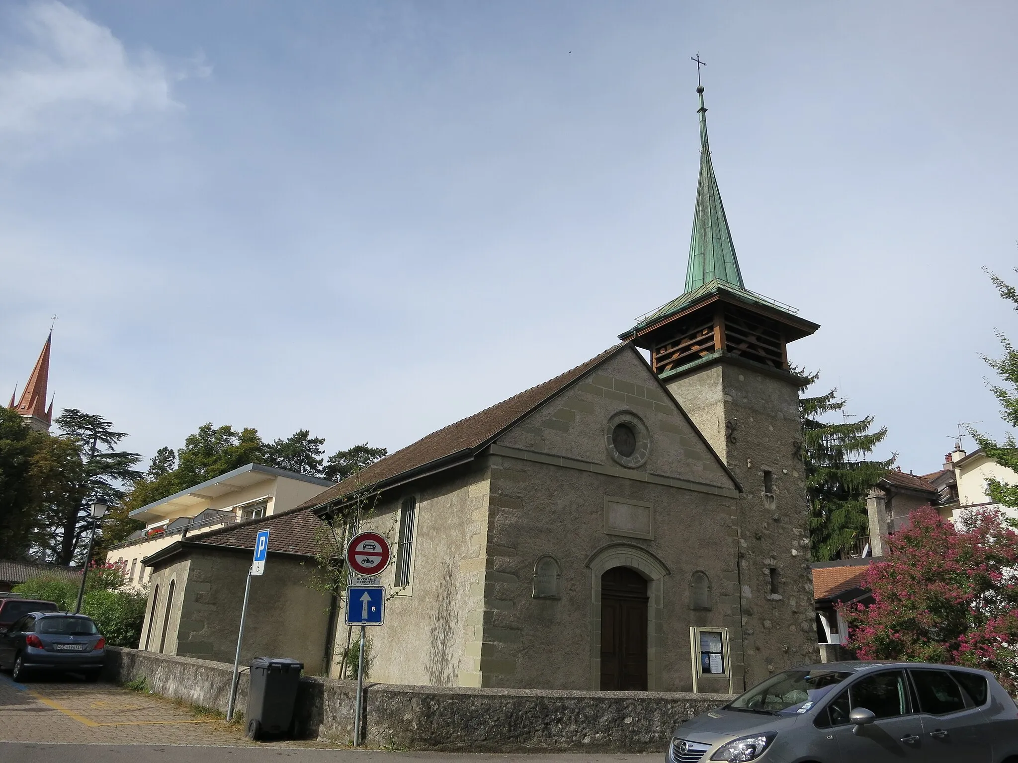
Satigny, located in the Région lémanique of Switzerland, is a cyclist's paradise with its scenic landscapes and well-connected cycling routes. The locality sits in the heart of vineyards, providing a charming backdrop for rides. Cyclists can explore the picturesque countryside, passing through small villages and enjoying panoramic views of the surrounding series of mountains, including the stunning Mont Blanc. Satigny is also close to Geneva, allowing for easy access to the city's attractions and cultural events. It is worth mentioning that Satigny is part of the famous Tour du Léman à vélo, a 200 km cycling route around Lake Geneva. With its stunning landscapes and ideal location, Satigny is a dream destination for cyclists.
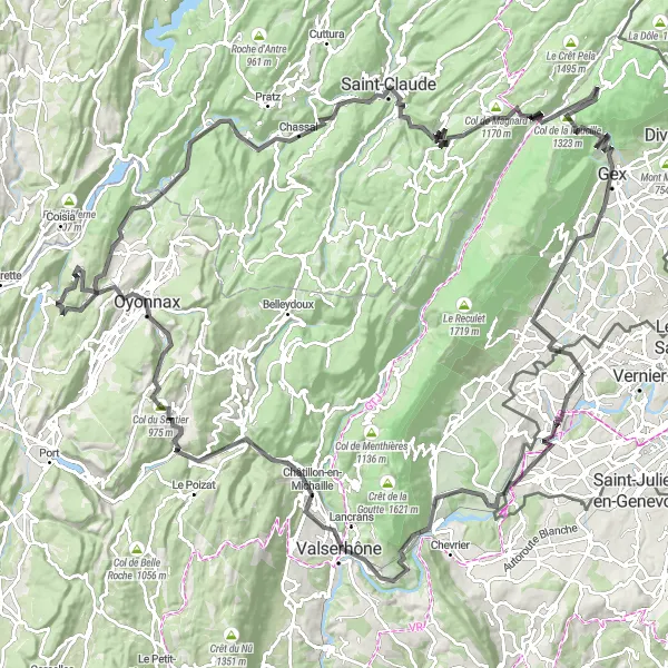
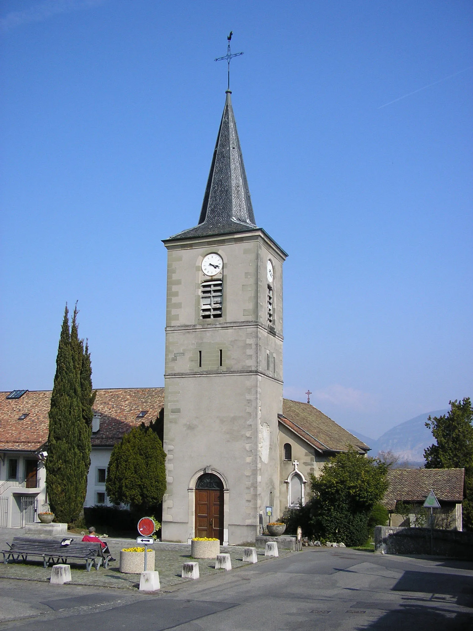
From Satigny to Château Choully
Through scenic landscapes and charming villages
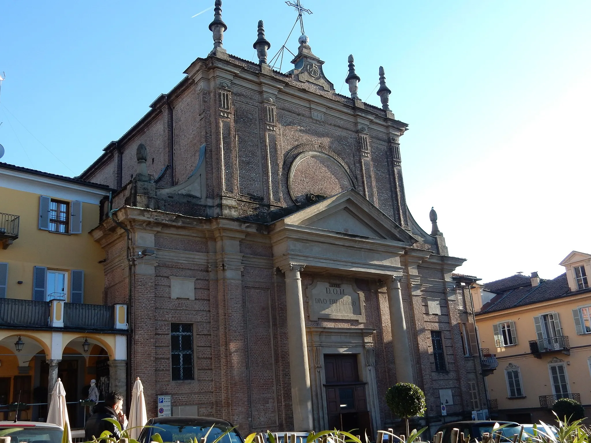
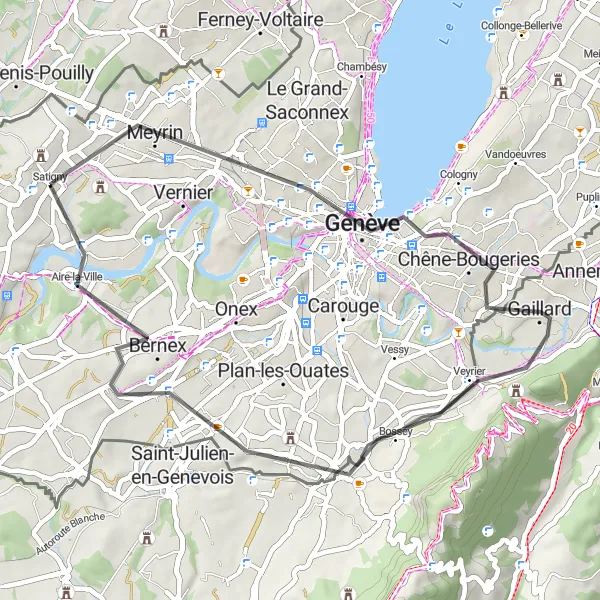
This round-trip cycling route starts in Satigny and takes you through picturesque landscapes and charming villages. With a total distance of 136 km and an ascent of 2753 m, it offers a challenging ride for experienced cyclists. Along the route, you'll be rewarded with stunning views of the Rhône River, as well as the opportunity to visit attractions such as Saint-Jean-de-Gonville and the Perte de la Valserine. The difficulty level of this route is 4 out of 5, making it suitable for well-trained amateurs. Overall, this route offers a great mix of spectacular scenery and cultural highlights.

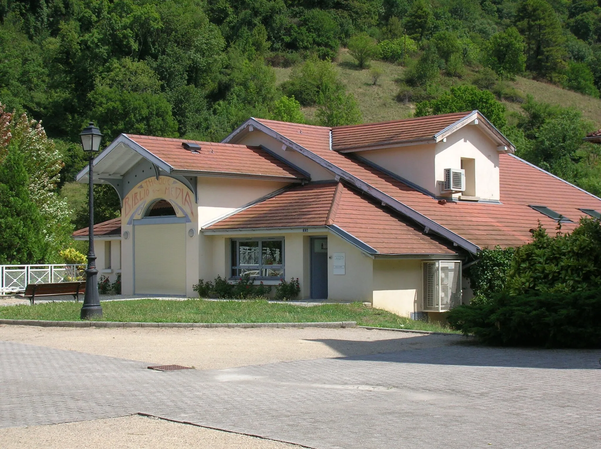
Experience the charming Swiss countryside as you cycle through Aire-la-Ville, Minzier, Avully, and Satigny
This scenic gravel route takes you through the picturesque villages of Aire-la-Ville, Minzier, Avully, and Satigny. With a total distance of 49 kilometers and an ascent of 696 meters, this ride is suitable for moderately experienced cyclists. Throughout the route, you'll enjoy breathtaking views of the Swiss landscape and discover hidden gems along the way.
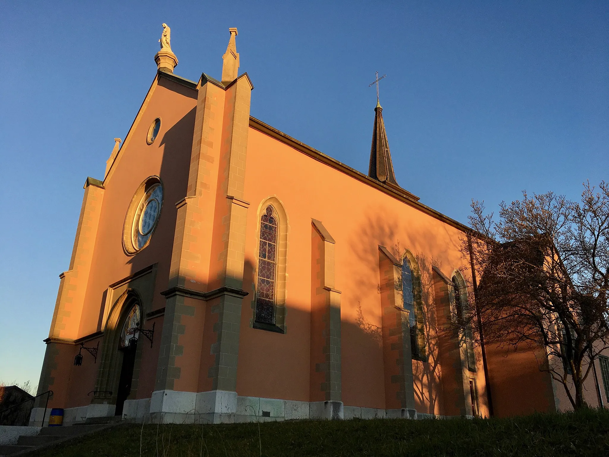
Satigny Epic Explorer
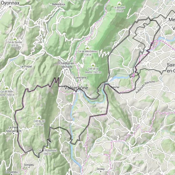
Embark on an epic 126-kilometer journey through some of the region's most breathtaking landscapes.
Get ready for an epic cycling adventure starting from Satigny. This challenging road cycling route spans 126 kilometers with a total ascent of 2,268 meters. As you explore the picturesque countryside, you will encounter several highlights along the way, including the Observatory "Castor", the charming village of Valleiry, the stunning Golet du Pey mountain pass, the idyllic village of Surjoux, the famous Col de Richemond, Le Grand-Abergement, Col de Cuvéry, Ochiaz, Léaz, Saint-Jean-de-Gonville, and the historic Château Choully. With its diverse terrain and breathtaking scenery, this route is perfect for experienced cyclists looking for an unforgettable adventure.
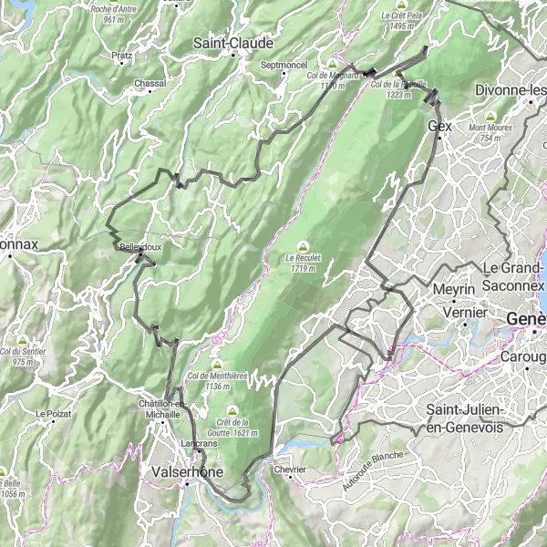
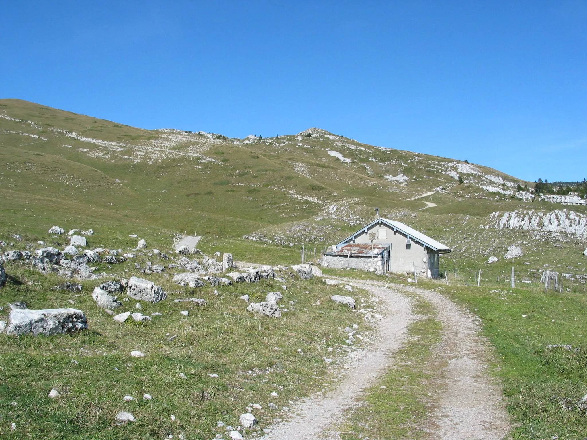
The Jura Odyssey
Embark on a scenic journey through the Jura Mountains
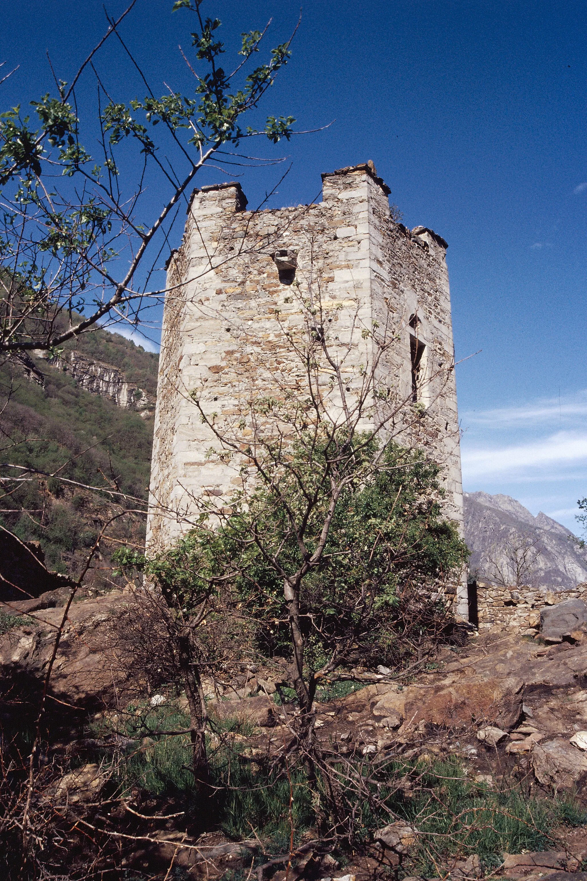
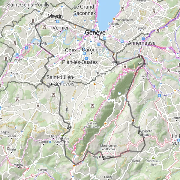
Experience the stunning beauty of the Jura Mountains on this epic cycling route starting near Satigny. The route takes you through charming villages, picturesque landscapes, and iconic mountain passes, offering breathtaking views at every turn. With a challenging ascent and a distance of 170 kilometers, this route is perfect for well-trained amateur cyclists looking for a thrilling adventure.
Gravel challenge through Menthières, Col de Menthières, Saint-Jean-de-Gonville, and Château Choully

Embark on a challenging gravel adventure through Menthières, Col de Menthières, Saint-Jean-de-Gonville, and Château Choully.
Get ready for a thrilling gravel ride through Menthières, Col de Menthières, Saint-Jean-de-Gonville, and Château Choully. This 69-kilometer route offers breathtaking scenery and a challenging ascent of 1947 meters. Admire the stunning landscapes, conquer the mountain passes, and explore the historic town of Château Choully along the way.

Embark on a scenic gravel ride through Challex, Péron, and Château Choully.
This adventurous gravel route takes you through the stunning landscapes surrounding Challex, Péron, and Château Choully. With a total distance of 28 kilometers and an ascent of 419 meters, this ride is suitable for intermediate cyclists. Along the way, you'll encounter charming villages, picturesque vineyards, and historic landmarks.
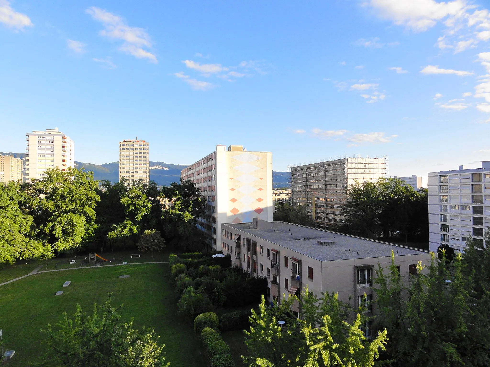
Scenic Thônex Gravel Tour
Discover the natural beauty of Thônex and its surrounding areas on this scenic 42-kilometer gravel tour.
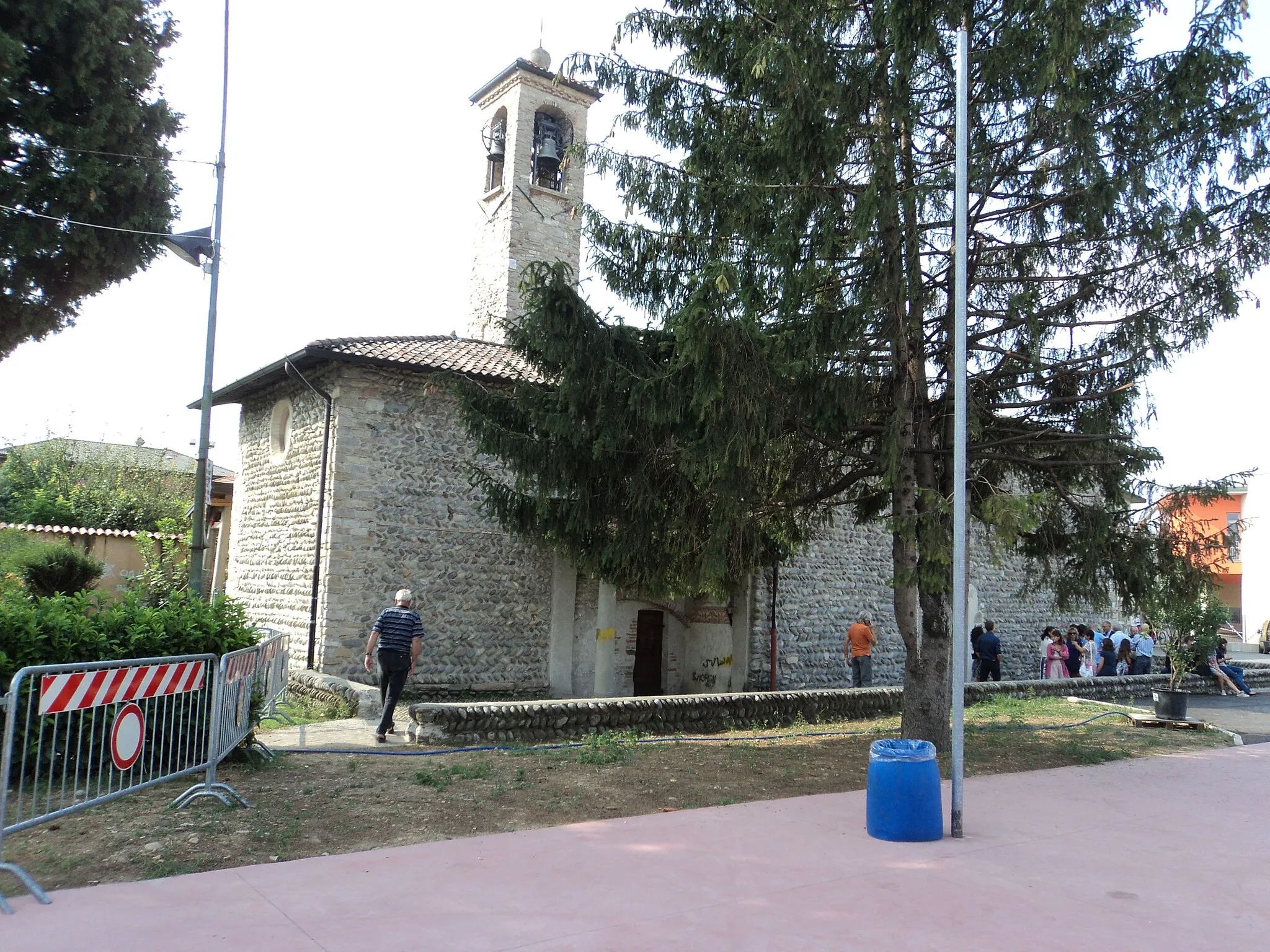
Experience the beauty of Thônex and its surroundings on this scenic 42-kilometer gravel tour. With a total ascent of 373 meters, this moderate-level route is perfect for gravel cycling enthusiasts. Explore the charming town of Meyrin before venturing towards Belvédère de l'Observatoire, a popular vantage point offering stunning views of the region. Continue your journey through Thônex and make a stop at Petit Salève, a small village nestled at the foot of the majestic Salève Mountain. As you ride along, take in the picturesque landscapes of Archamps and enjoy the panoramic views from Le Signal. Finally, arrive back in Satigny, where you can reward yourself with some local wine tasting.
Immerse yourself in the breathtaking panoramas on this road cycling tour through Meyrin, Mont Gosse, Arbusigny, Menthonnex-en-Bornes, Col du Mont Sion, Saint-Julien-en-Genevois, Le Signal, and Bernex.
Indulge in stunning panoramic views on this epic road cycling tour through Meyrin, Mont Gosse, Arbusigny, Menthonnex-en-Bornes, Col du Mont Sion, Saint-Julien-en-Genevois, Le Signal, and Bernex. With a distance of 84 kilometers and an ascent of 1342 meters, this route is perfect for experienced cyclists looking for a challenging yet rewarding adventure. Along the way, you'll pass through charming villages, majestic mountains, and beautiful countryside.

Experience the thrill of conquering the challenging Aire-la-Ville climb.
Get ready for a thrilling cycling adventure in the beautiful region of Satigny. This round-trip road cycling route showcases the scenic beauty of the Lémanique area while providing an exhilarating challenge for cyclists of all levels. From the charming village of Satigny, you will embark on an 81-kilometer journey with a total ascent of 1,311 meters. This intermediate-level route offers breathtaking views of the surrounding countryside and includes several notable highlights such as Aire-la-Ville, Marlioz, Frangy, Golet du Pey, Péron, and Château Choully. With its diverse terrain and picturesque landscapes, this route is a must-do for cycling enthusiasts.

Embark on the ultimate road cycling adventure as you pass through Geneva, Belvédère de l'Observatoire, Bonne, Faucigny, Marnaz, Saint-Pierre-en-Faucigny, Chez Fauraz, Archamps, Le Signal, and Satigny.
Prepare yourself for the ultimate road cycling adventure through the stunning landscapes of Geneva, Belvédère de l'Observatoire, Bonne, Faucigny, Marnaz, Saint-Pierre-en-Faucigny, Chez Fauraz, Archamps, Le Signal, and Satigny. This 120-kilometer route boasts majestic mountain views, charming towns, and thrilling climbs. With an ascent of 1795 meters, this ride is recommended for experienced cyclists seeking a true challenge.
Cycling routes nearby:

Nearby regions: