Charming landscapes and famous climbs await in Chalfont Saint Peter
Cycling routes from Chalfont Saint Peter
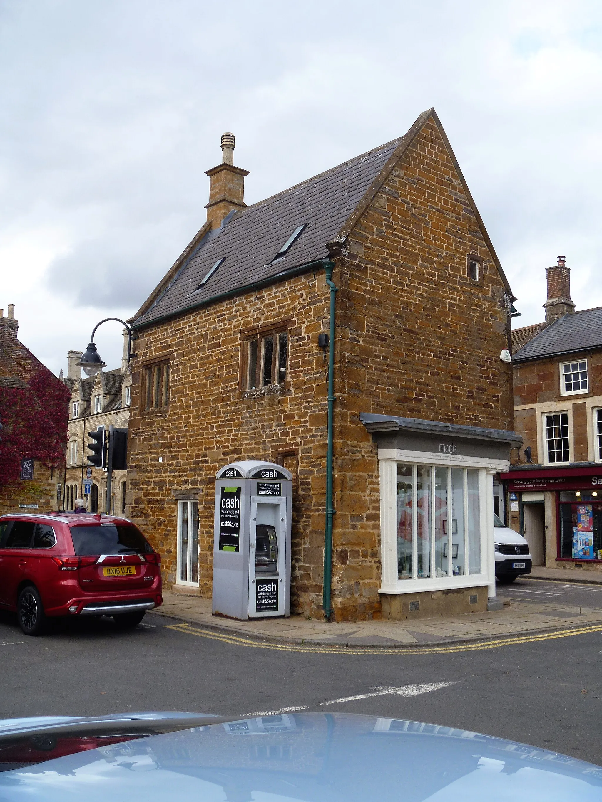
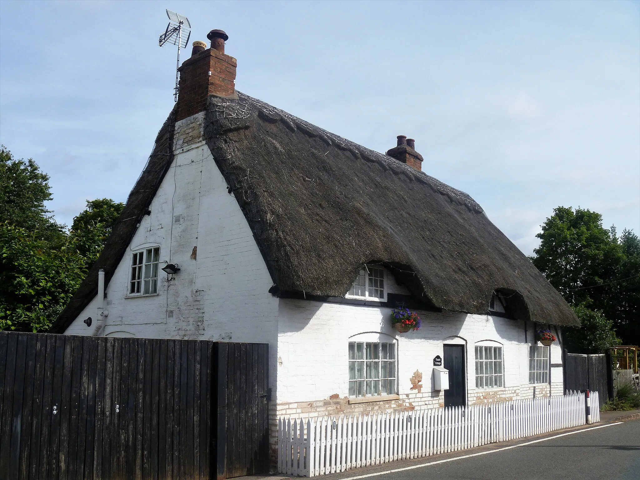
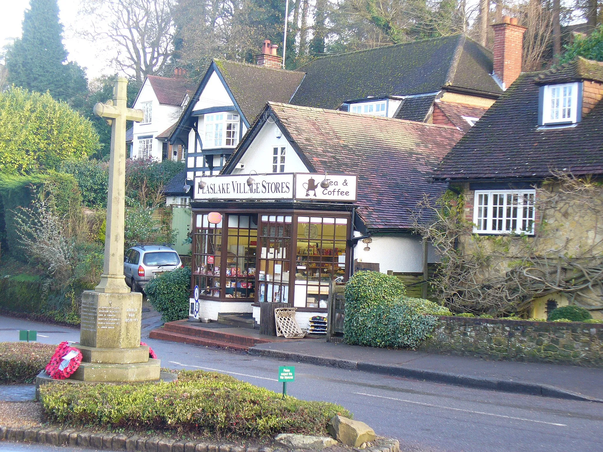
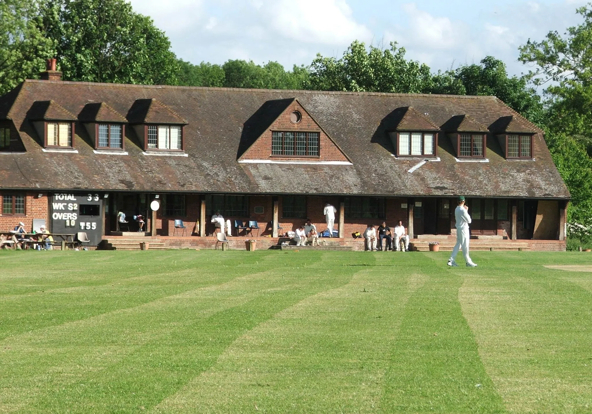
Chalfont Saint Peter, situated in Berkshire, Buckinghamshire, and Oxfordshire region of the United Kingdom, offers a cyclist a mix of challenging climbs and beautiful rural routes. The locality provides a good variety of landscapes, including hilly areas and picturesque villages. The nearby Chiltern Hills offer famous cycling climbs like Hubbards Hill and Whiteleaf Hill, attracting cyclists from all over. With its charming surroundings and cycling-friendly atmosphere, Chalfont Saint Peter is a great destination for road and gravel cyclists.
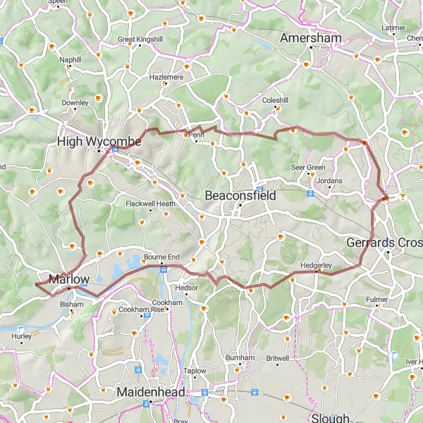
Experience the classic Chiltern scenery and take on the challenging climb of Dibden Hill.
This route takes you through picturesque villages and offers stunning views of the rolling countryside. With a total ascent of 630 meters, it offers a moderate challenge for well-trained amateurs. The highlight of this route is the climb up Dibden Hill, which rewards you with panoramic views from the top.
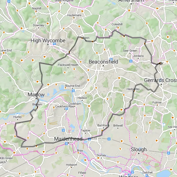
Ride through scenic countryside and conquer challenging climbs along the way.
This route takes you on a scenic journey through the Buckinghamshire and Berkshire countryside. With a total ascent of 770 meters, it offers a good challenge for experienced cyclists. The highlights of this route include the charming village of Bourne End and the challenging climbs of Bledlow Ridge and Dibden Hill.
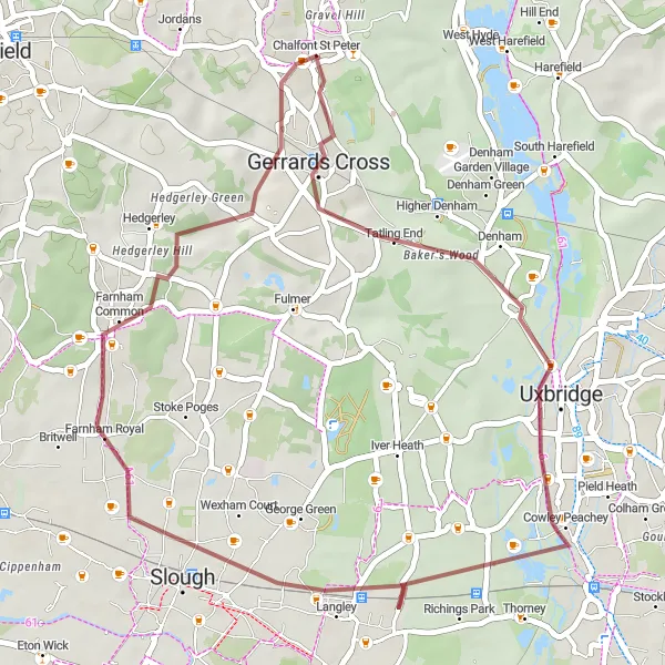
Discover picturesque landscapes and historical sites
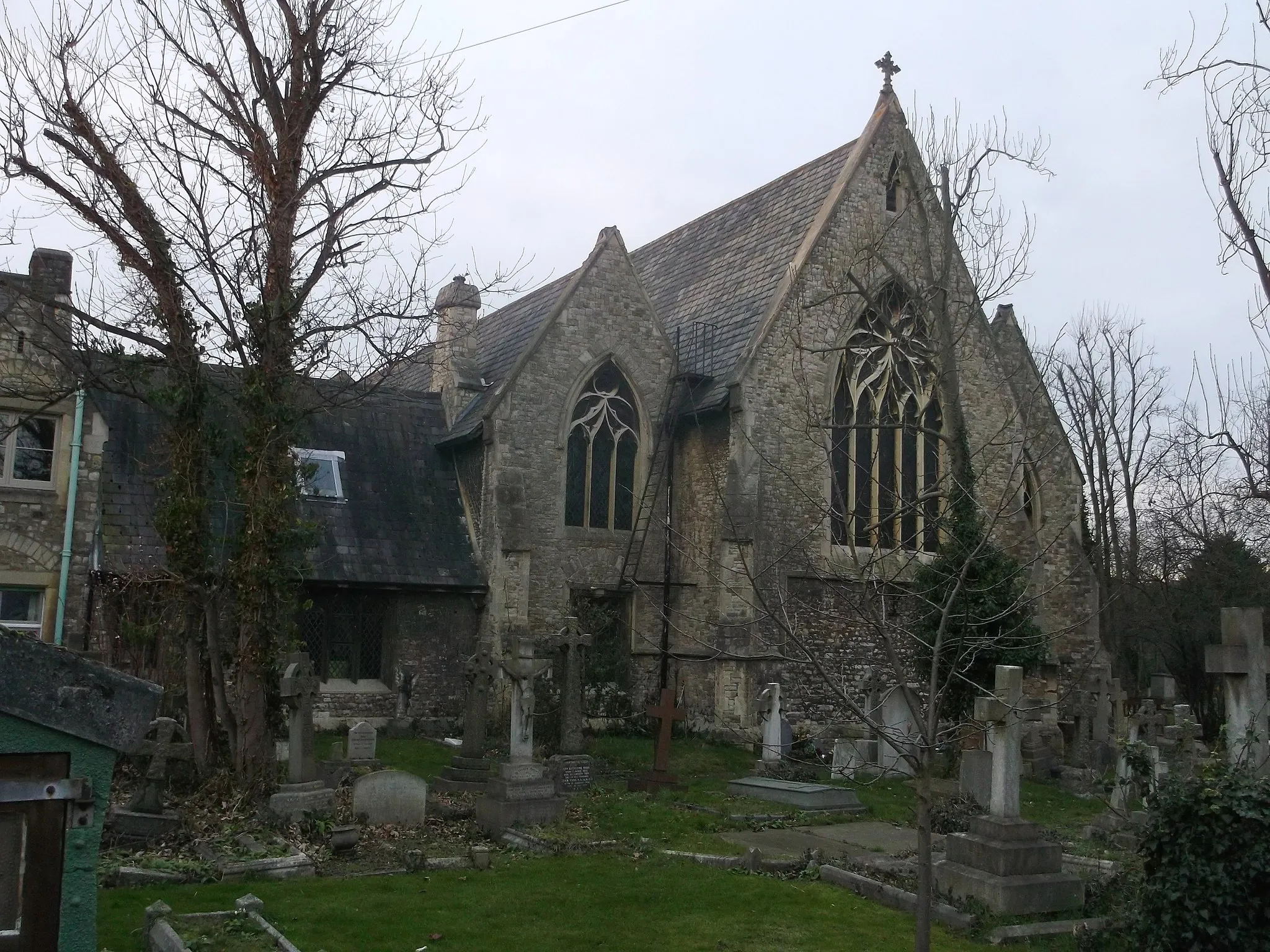
Take a journey through picturesque landscapes and historical sites as you embark on this scenic gravel ride from Chalfont Saint Peter to Uxbridge. This route offers a diverse mix of terrains and scenery, perfect for gravel enthusiasts seeking to explore the surrounding countryside. With a total ascent of 139 meters and a distance of 37 kilometers, this route is suitable for cyclists of all skill levels. Highlights include Gerrards Cross, where you can admire its vibrant atmosphere and explore its charming streets. Uxbridge is also worth a visit, with its historical sites and picturesque canals. Hedgerley provides a peaceful retreat along the route, surrounded by tranquil nature.

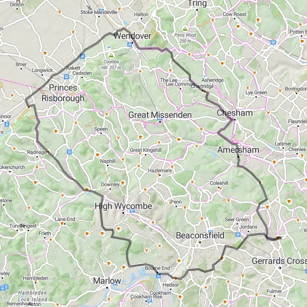
Discover the beauty of the Chilterns and conquer the iconic climb of Ivinghoe Beacon.
This route takes you through classic Chiltern countryside, passing through the charming town of Amersham and offering stunning views from the top of Ivinghoe Beacon. With a total ascent of 749 meters, it provides a good challenge for experienced cyclists. The highlight of this route is the climb up Ivinghoe Beacon, which offers breathtaking views of the surrounding area.

Off-road cycling through scenic countryside and gravel paths
Embark on this exciting gravel adventure from Chalfont Saint Peter to Gravel Hill. This off-road route will take you through scenic countryside and gravel paths, offering a unique and adventurous cycling experience. With a total ascent of 728 meters and a distance of 68 kilometers, this route is recommended for experienced off-road cyclists. Along the way, you'll pass through Loudwater and Waterend, where you can take in the natural beauty of the surroundings. Lodge Hill and Great Hampden are additional highlights on this route, offering challenging terrain and breathtaking views. Gravel Hill is the ultimate destination, providing a thrilling descent and a sense of accomplishment.

Scenic roads and historical landmarks
This round-trip cycling route starts from Chalfont Saint Peter and takes you through picturesque roads with beautiful scenery. Along the way, you'll pass Potter Street Hill, which offers stunning views of the surrounding countryside. The route also includes a stop at King Henry VIII's Mound, where you can learn about its rich history. With a total ascent of 352 meters and a distance of 83 kilometers, this route is suitable for cyclists of intermediate skill levels.

Off-road adventure through woodlands and hills
Embark on this adventurous gravel loop from Chalfont Saint Peter to Winter Hill. This off-road adventure will take you through scenic woodlands and challenging hills, offering a thrilling experience for avid gravel cyclists. With a total ascent of 582 meters and a distance of 57 kilometers, this route is recommended for experienced off-road cyclists. Highlights include Hedgerley, where you can immerse yourself in the peacefulness of the countryside, and Marlow, a charming town known for its riverside beauty. Handy Cross and Chalfont St Giles are additional highlights on this route, offering diverse terrain and natural landscapes. Winter Hill provides a challenging climb and rewarding views at the summit.
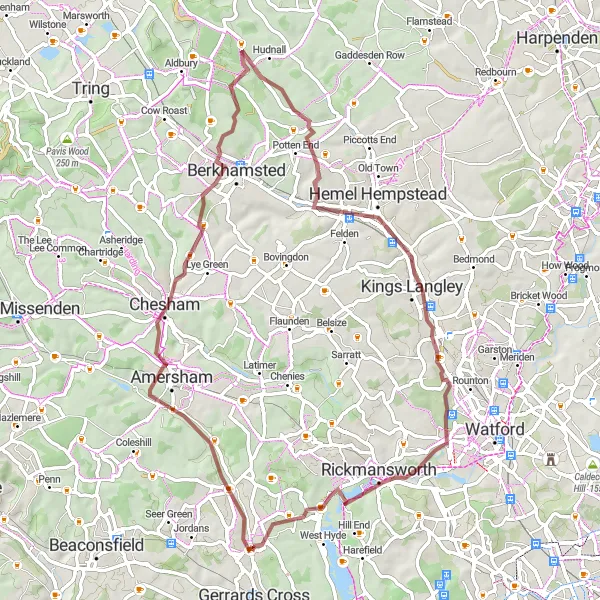
Chalfont Saint Peter Loop

Experience the beauty of Berkshire, Buckinghamshire and Oxfordshire
Take on the challenging Chalfont Saint Peter Loop and explore the stunning landscapes of Berkshire, Buckinghamshire and Oxfordshire. With a distance of 92 kilometers and an ascent of 421 meters, this road cycling route offers a truly rewarding experience. The route takes you through picturesque villages, tranquil countryside, and historic landmarks.
Get off the beaten track and explore the scenic beauty of the Chilterns on this gravel loop.
This route takes you through the peaceful countryside of Buckinghamshire, offering stunning views and a sense of adventure. With a total ascent of 526 meters, it provides a moderate challenge for gravel enthusiasts. The highlight of this route is the climb up Winter Hill, which offers panoramic views of the surrounding countryside.
Chalfont Gravel Adventure
Discover the beauty of the Chiltern Hills on this gravel adventure.
This route takes you off the beaten path and onto gravel roads, allowing you to explore the scenic beauty of the Chiltern Hills. With a total ascent of 477 meters, it provides a moderate challenge for gravel enthusiasts. The highlight of this route is the charming village of Chalfont St Giles, known for its historic buildings and scenic surroundings.
Cycling routes nearby:


Nearby regions: