Cycle Through the English Countryside in Eton Wick: Charming Routes Await!
Cycling routes from Eton Wick
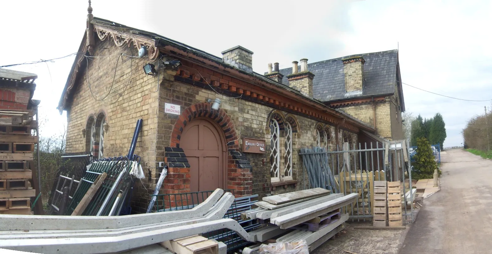
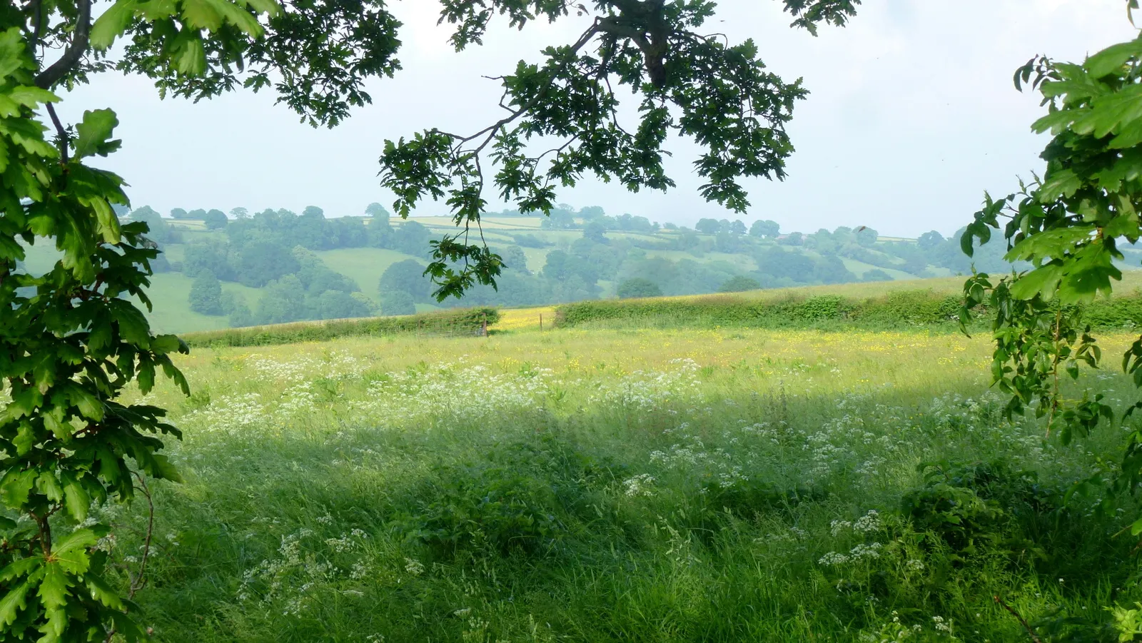
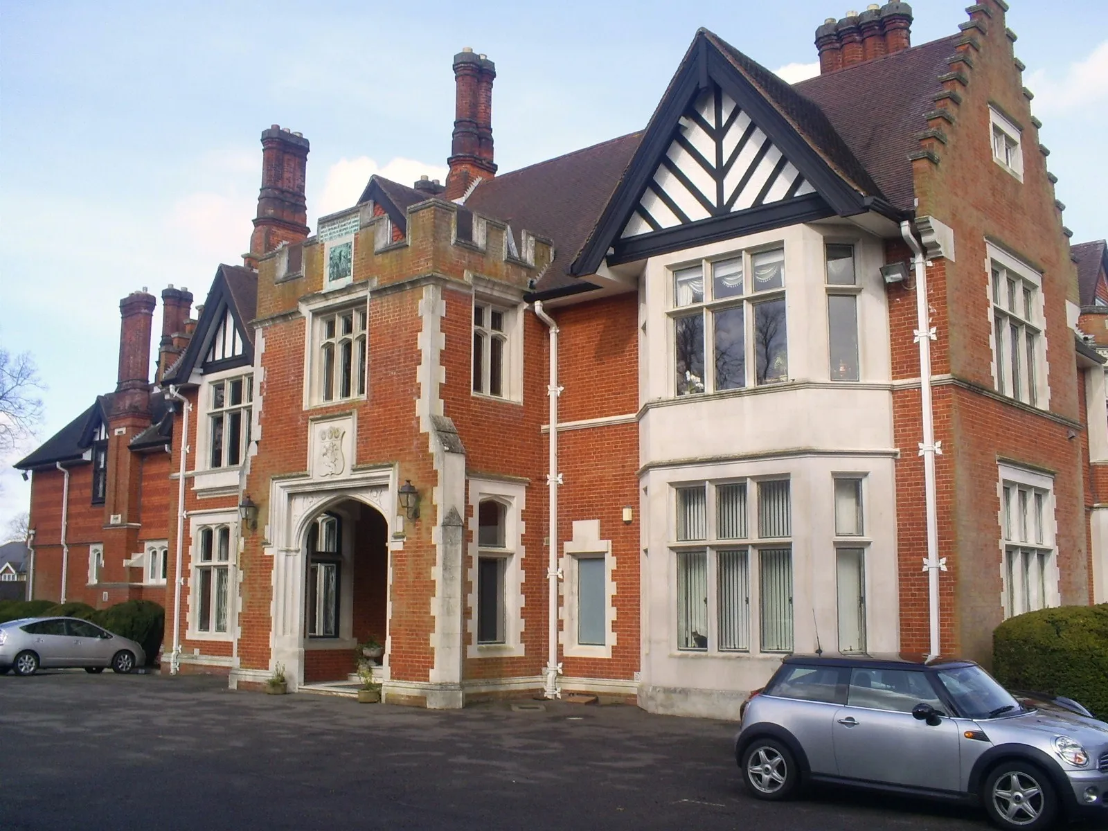
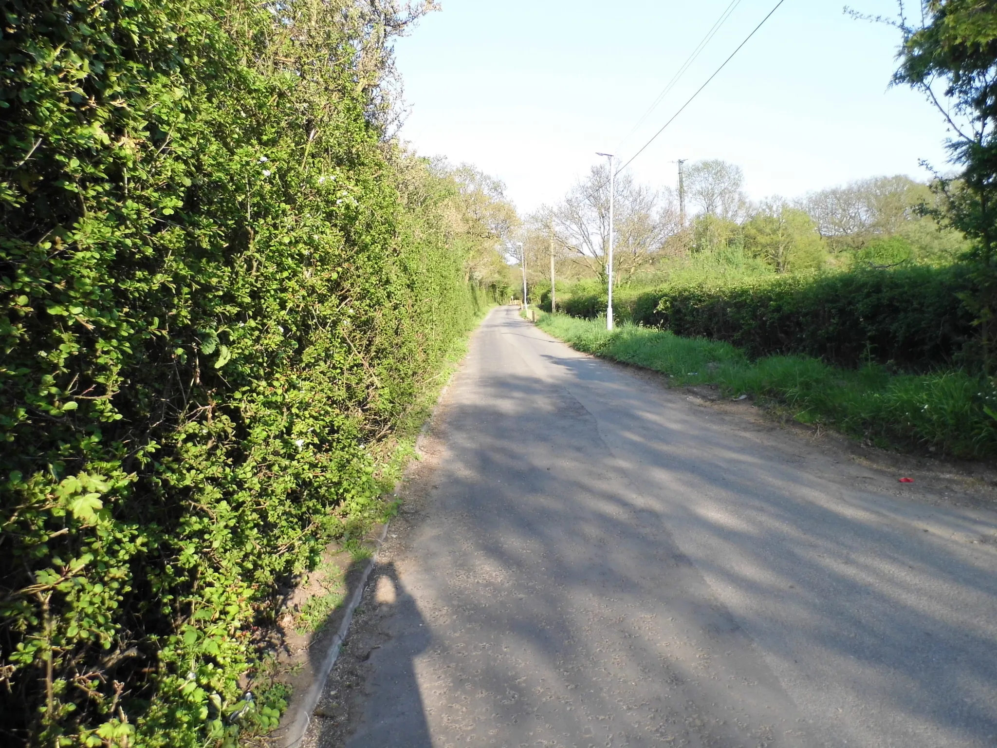
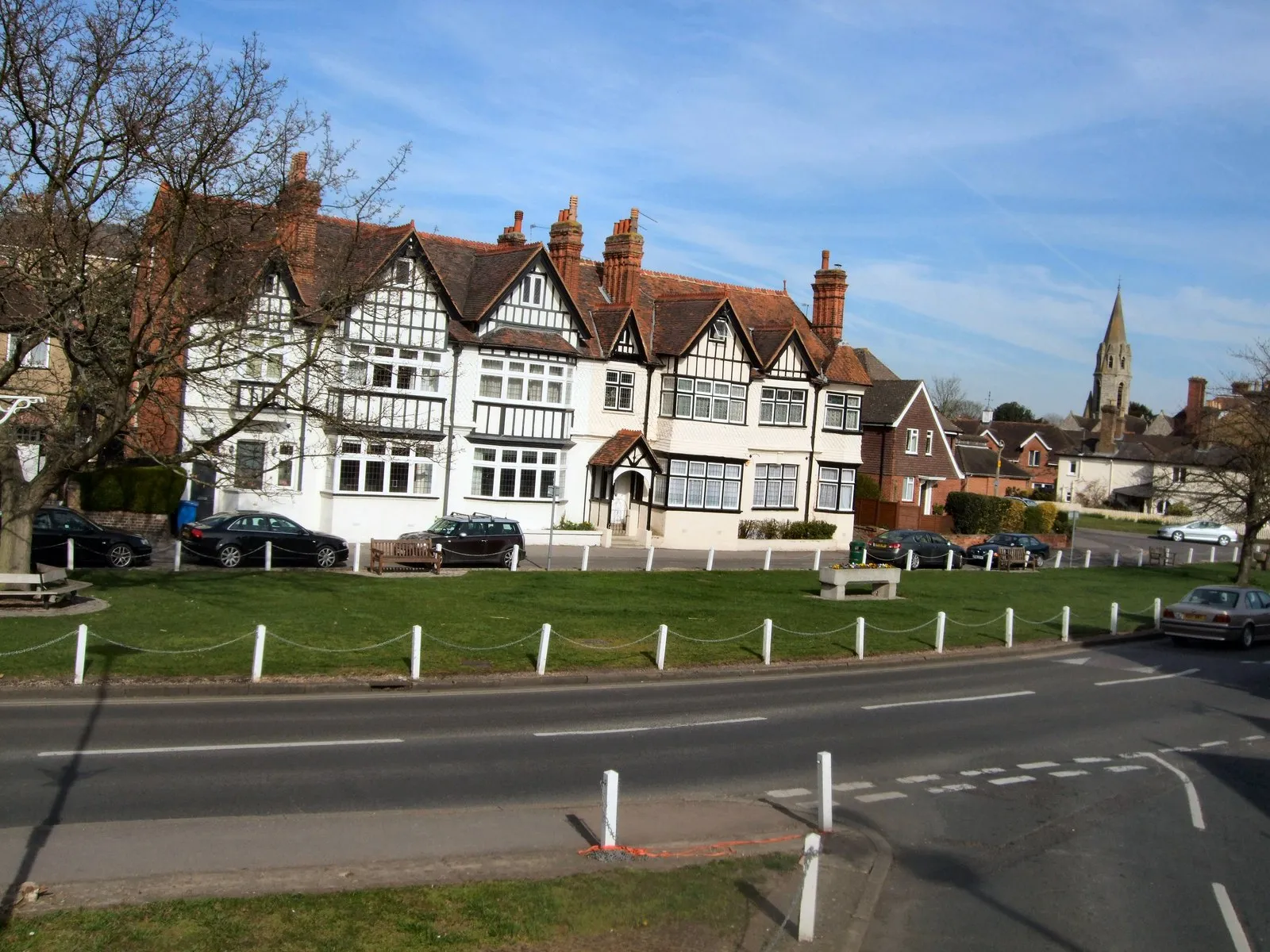
Eton Wick, situated in Berkshire, Buckinghamshire, and Oxfordshire, United Kingdom, offers an enjoyable cycling experience amidst the charming English countryside. The locality provides a mix of serene roads and scenic trails, making it suitable for leisurely rides and exploration. While not famous for specific cycling spots or climbs, Eton Wick offers a cyclist-friendly environment with bicycle amenities and services. Cyclists can also visit nearby towns, such as Windsor and Ascot, to experience the rich history and cultural attractions of the region.
Embark on a scenic gravel adventure through Chavey Down and its surrounding picturesque landscapes.
Covering a distance of 37 kilometers and with an elevation gain of 131 meters, this gravel route is perfect for beginners or those looking for a shorter ride. Immerse yourself in the tranquility of the countryside and discover the hidden beauty of Chavey Down.
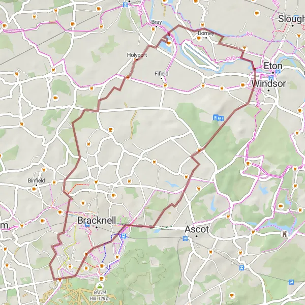
Eton to Dorney Loop

Discover the scenic beauty between Eton and Dorney
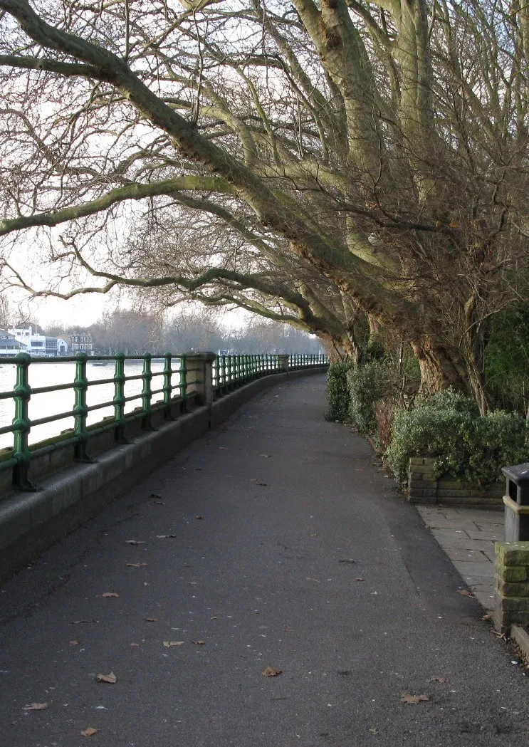
This route takes you on a picturesque journey from Eton to Dorney, passing through Englefield Green, Brookwood, Frimley Green, and Butter Hill. The total distance is 75 km with an ascent of 389 meters. Suitable for road biking enthusiasts.
Embark on an off-road gravel adventure from Eton Wick
Experience the thrill of cycling off the beaten path with this gravel adventure starting from Eton Wick. The route covers a distance of 45 km with a total ascent of 148 meters. Enjoy the scenic beauty as you pass through Brookside, Hanworth, Holyport, Dorney Court. Suitable for gravel biking enthusiasts.

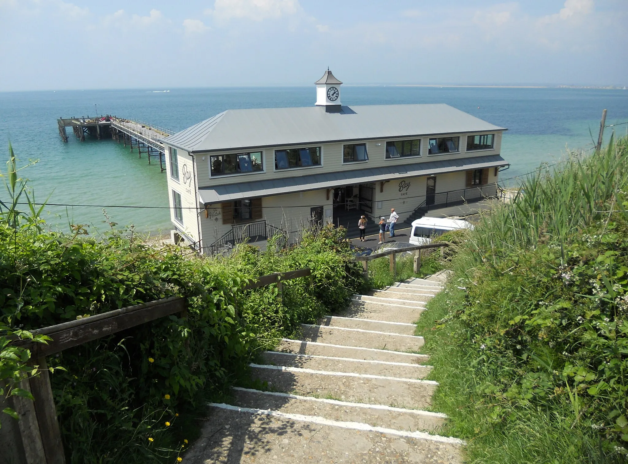
Experience the beauty of the countryside on the way to Henley-on-Thames
Discover the scenic countryside from Eton Wick to Henley-on-Thames, passing through Fifield, Henley-on-Thames, Christmas Common, Bald Hill, West Wycombe, Cliveden Southern Viewpoint, and Maidenhead Bridge. The total distance is 84 km with an ascent of 462 meters. Suitable for road biking enthusiasts.
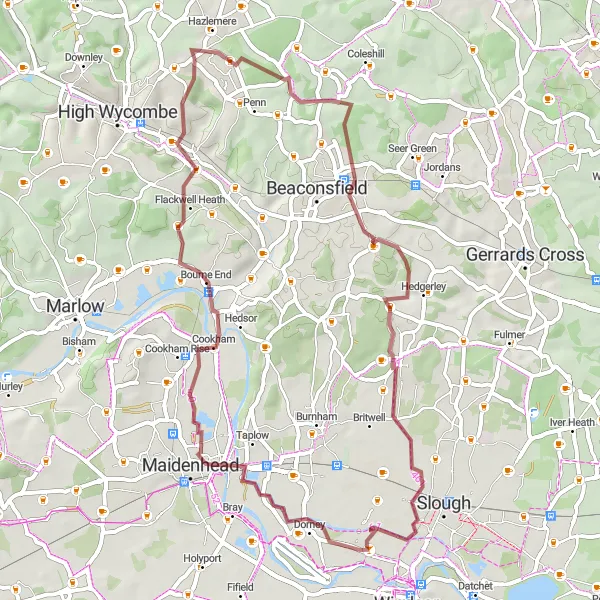
Eton Wick to Slough Gravel Ride

Experience the scenic beauty of the Thames Valley on this gravel ride from Eton Wick to Slough.
This 65-kilometer route offers picturesque views of the countryside and the River Thames. With a total ascent of 97 meters, the ride is perfect for a moderate challenge. Whether you're a gravel cycling enthusiast or looking for a scenic adventure, this Eton Wick to Slough route is not to be missed.

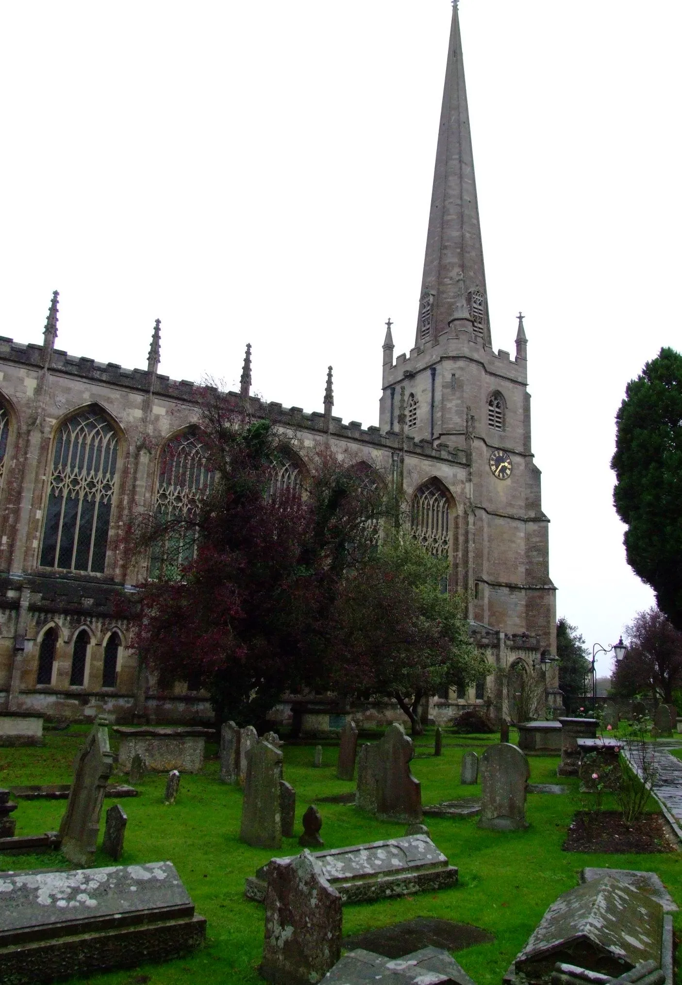
Discover the scenic gravel path from Eton Wick to Eton
This picturesque gravel route takes you from Eton Wick to Eton along a 68 km trail. With a total ascent of 244 m, this moderate-level route offers beautiful views of the surrounding countryside. Immerse yourself in nature as you cycle through Brookside, Hanworth, Arborfield, and Waltham St Lawrence. The highlight of this route is the charming town of Eton, famous for its prestigious college and historic buildings. This route provides a unique cycling experience for gravel enthusiasts.
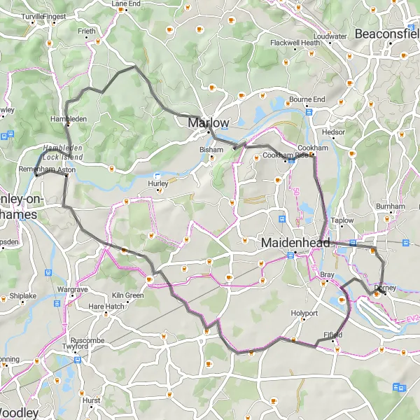
Explore the beauty of Eton Wick and Maidenhead
Embark on a picturesque journey from Eton Wick to Maidenhead Bridge, passing through Touchen-end, Mill End, Marlow, Winter Hill, and Cliveden Southern Viewpoint. The total distance is 54 km with an ascent of 341 meters. Suitable for road biking enthusiasts.

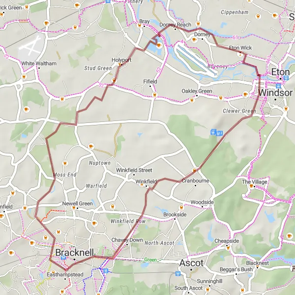
Get ready for a memorable road cycling experience from Eton Wick, exploring the stunning landscapes of Buckinghamshire and Oxfordshire.
With a distance of 63 kilometers and an elevation gain of 393 meters, this road cycling route is ideal for intermediate cyclists looking for a challenging yet rewarding journey. Immerse yourself in the beauty of nature and enjoy the vibrant cycling community along the way.
Embark on a thrilling gravel adventure from Maidenhead Bridge to Eton Wick through picturesque landscapes and charming villages.
Covering a distance of 53 kilometers and with an elevation gain of 326 meters, this route is perfect for intermediate gravel cyclists seeking a blend of nature and cultural immersion. Explore the beauty of the Thames Valley and discover hidden gems along the way.
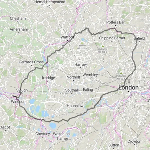
Embark on an epic cycling adventure through the stunning Thames Valley, taking in iconic landmarks and breathtaking landscapes.
This challenging 121-kilometer road cycling route offers a total ascent of 541 meters, making it ideal for experienced cyclists seeking a legendary journey. From historic markers to scenic viewpoints, this route showcases the best of the Thames Valley's natural and cultural heritage.
Cycling routes nearby:


Nearby regions: