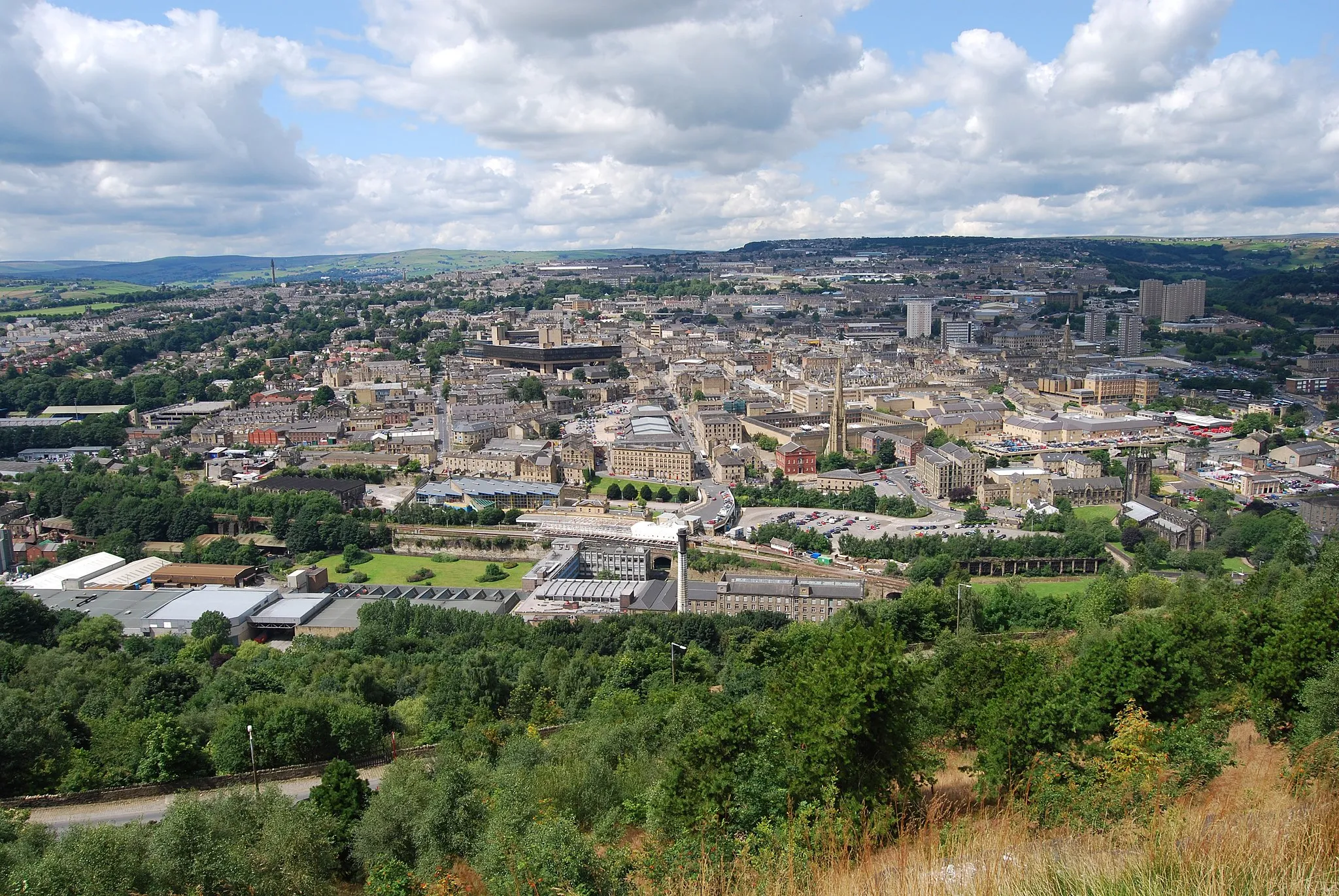
Thrilling rides and beautiful landscapes await in Matlock
Cycling routes from Matlock
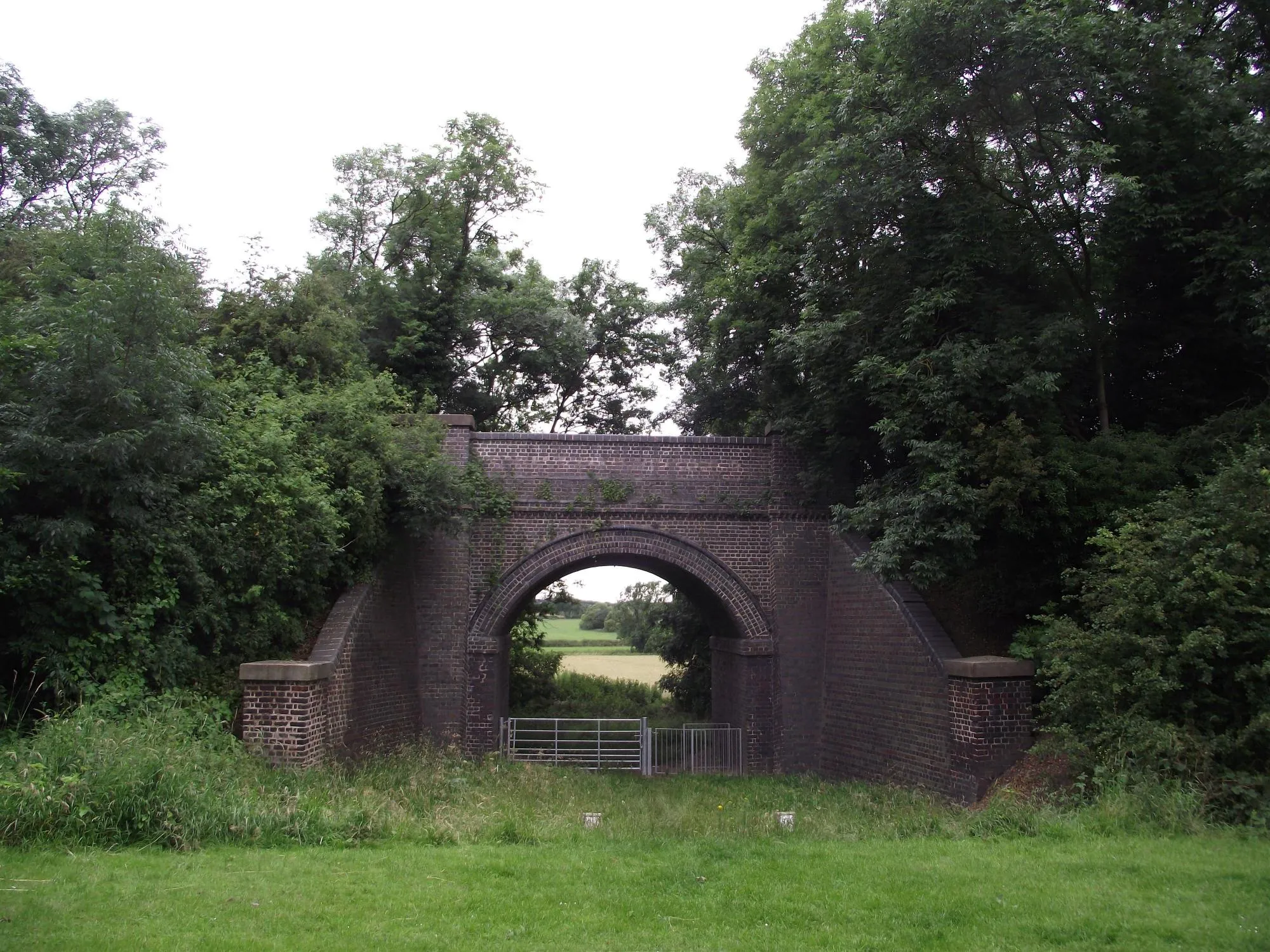
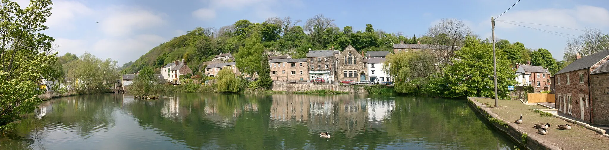
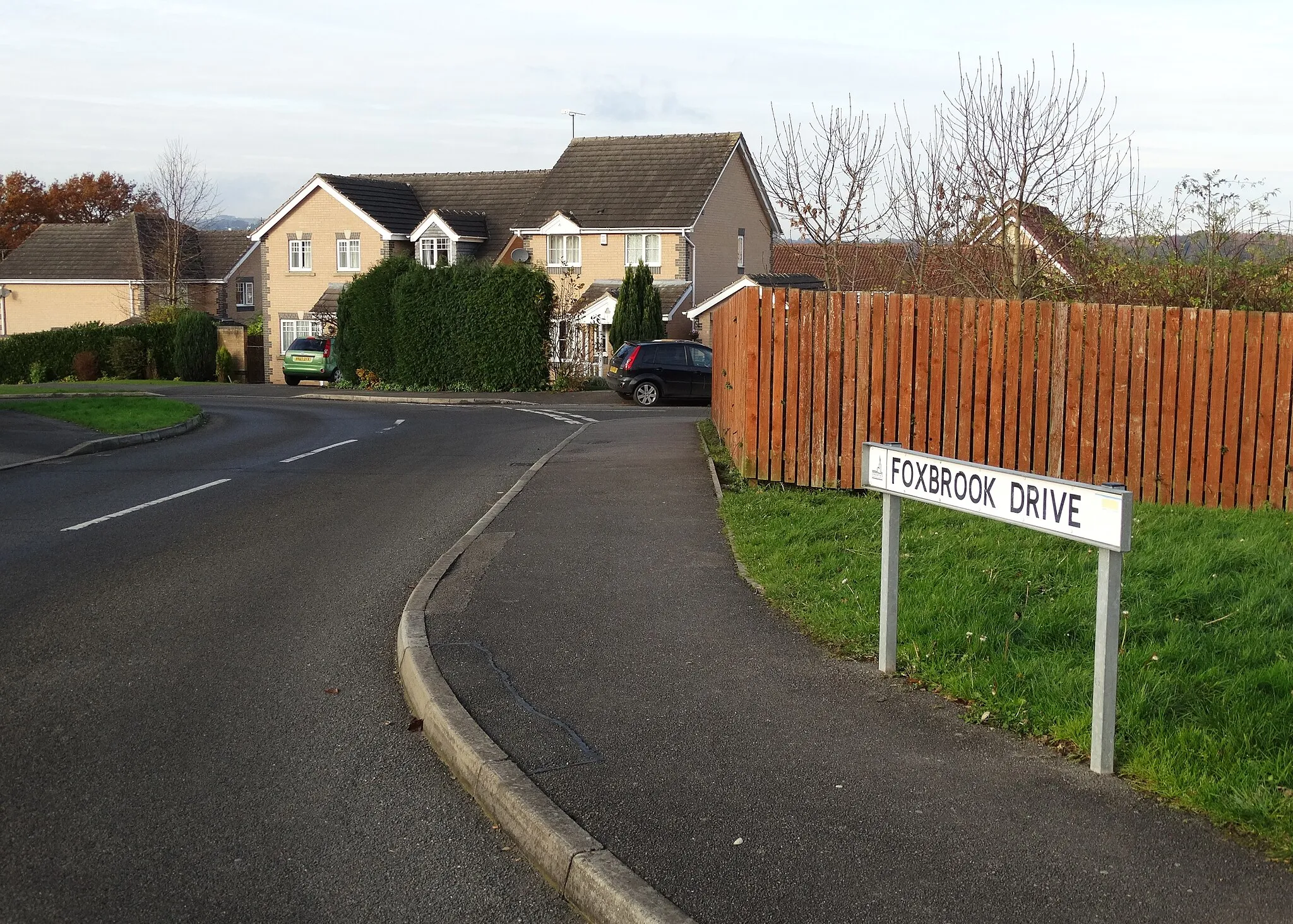
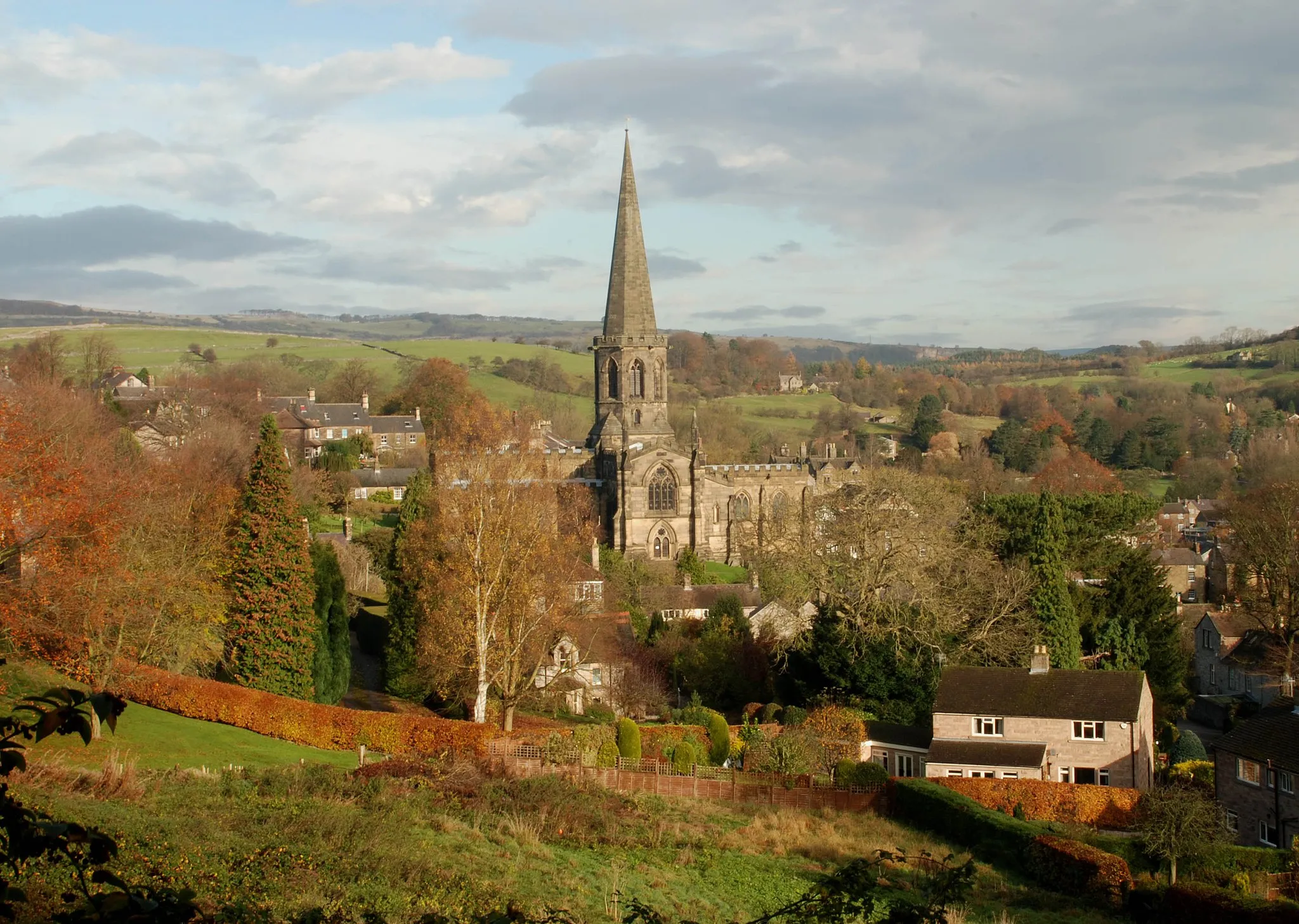
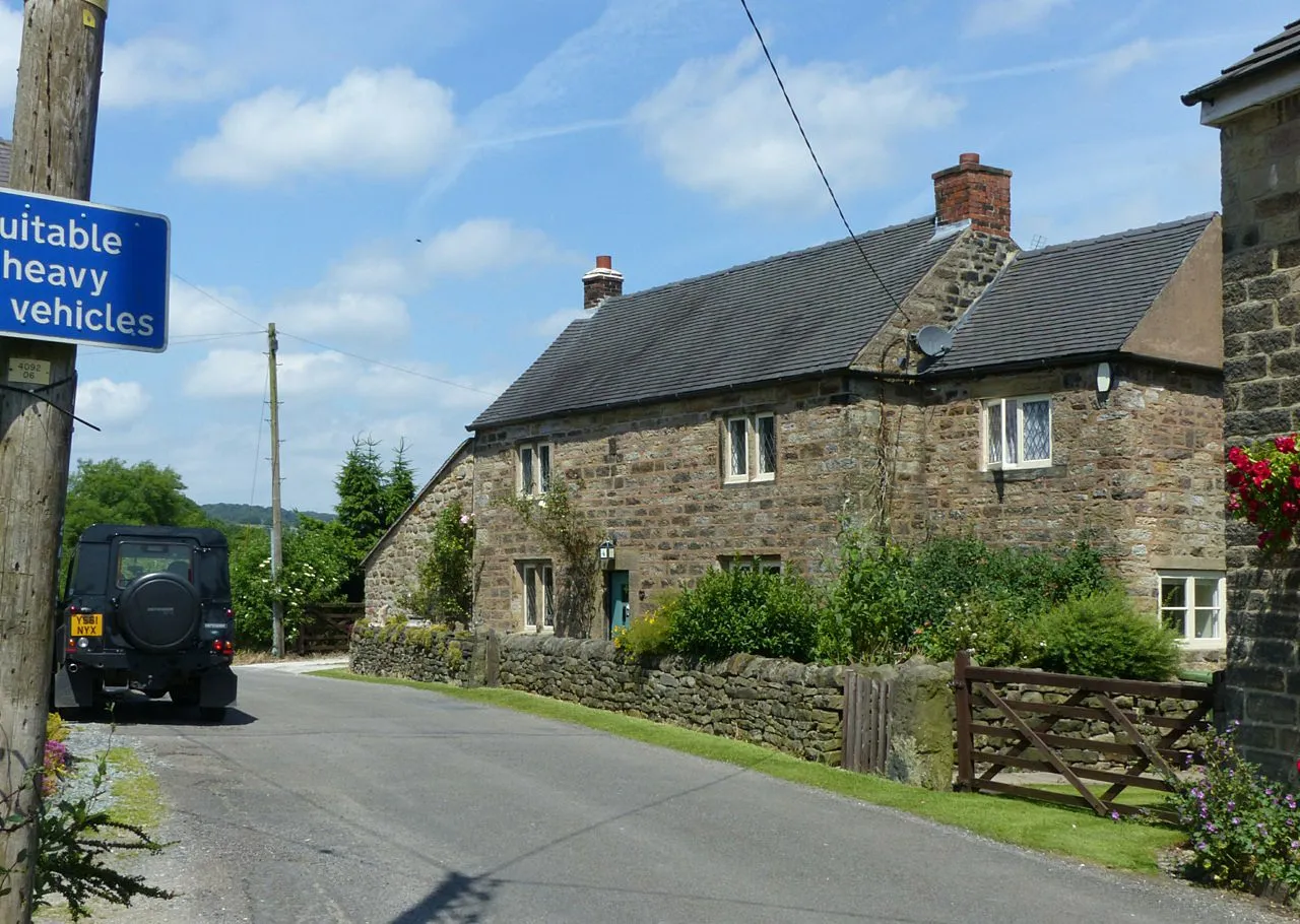
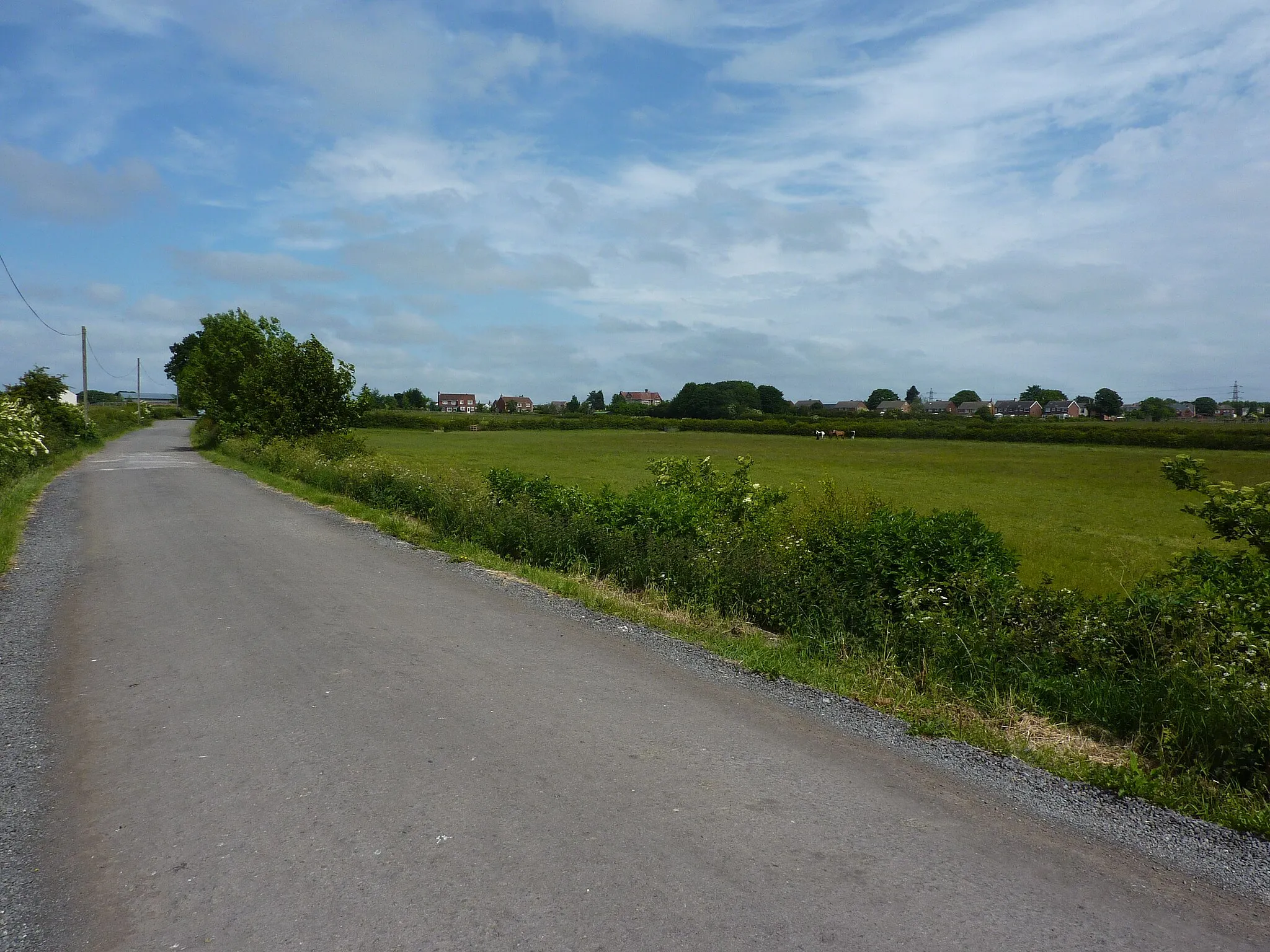
Matlock in Derbyshire and Nottinghamshire, United Kingdom, is a cyclist's dream destination. Located in the heart of the Peak District National Park, this locality offers stunning cycling routes with breathtaking views of the surrounding countryside. The area is renowned for its challenging climbs, including the famous climb of Rowsley Bar, which attracts cyclists from around the world. Matlock itself is a beautiful town with cyclist-friendly infrastructure and easy access to the Peak District's many attractions. Whether you're a seasoned cyclist seeking thrilling climbs or a casual rider looking for picturesque routes, Matlock has something for everyone.
Matlock Hills Road Ride
A challenging road ride with plenty of climbing
This challenging road ride takes you on a scenic journey through the Matlock Hills. With a total ascent of 858 meters, this route is suitable for well-trained amateur riders looking for a tough ride. The difficulty rating for this route is 4, due to the steep climbs and fast descents.
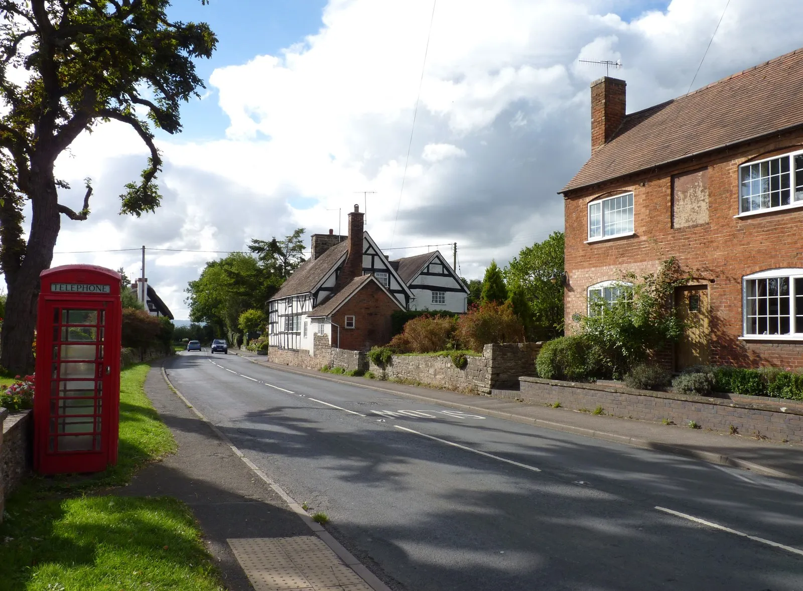
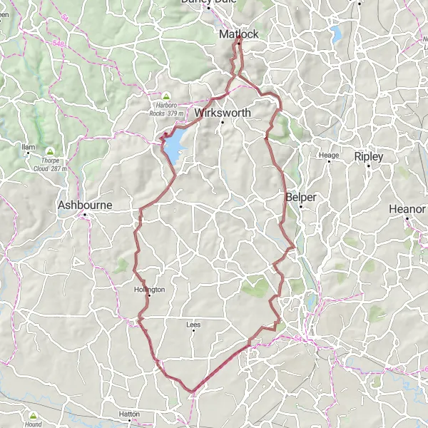
The Countryside Escape
Discover the natural beauty of Matlock and its surroundings on this scenic gravel route.
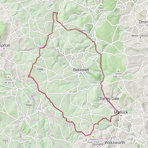
Experience the peacefulness of the countryside as you cycle through the charming towns and villages along this 77 km gravel route. Highlights include Bonsall, known for its traditional wells, and Eyam, a historic plague village. With an ascent of 961 meters, this route is suitable for cyclists looking for a moderate challenge.
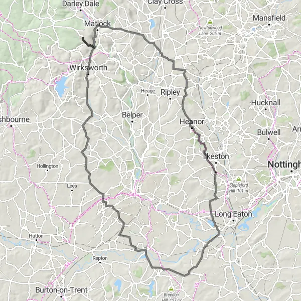
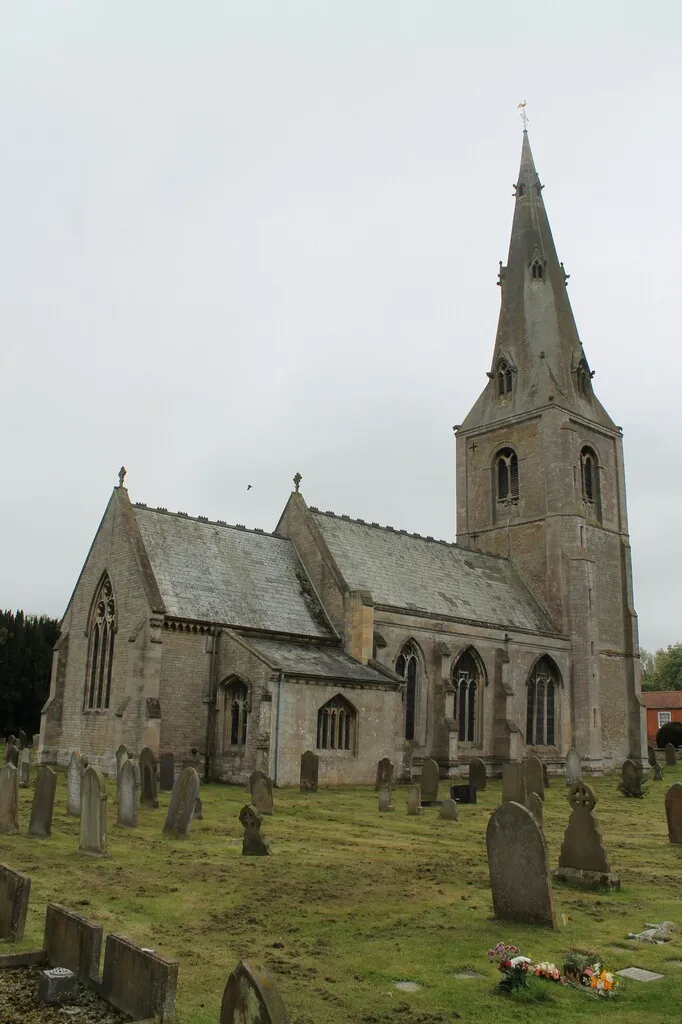
Explore the rich heritage of Matlock and its surroundings on this historic road route.
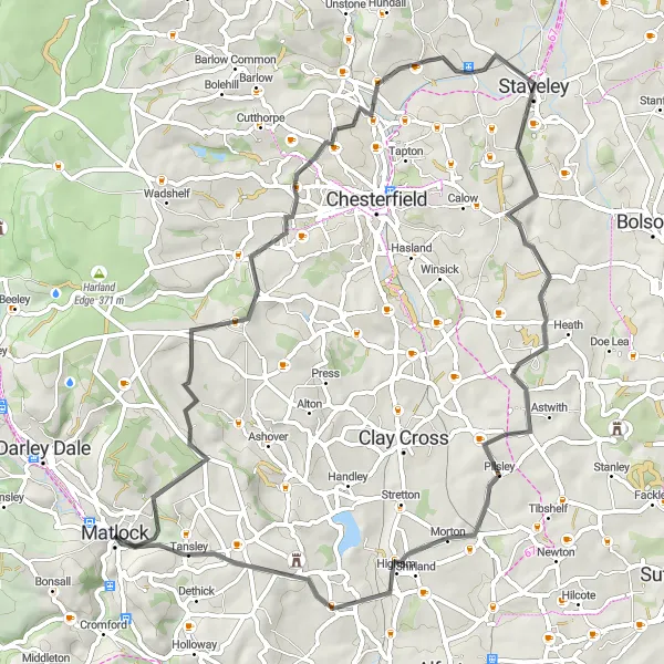
Venture through the heritage-rich landscape surrounding Matlock on this 107 km road route. With an ascent of 1132 meters, this route offers a moderate challenge for road cyclists. Highlights include Cromford, known for its historic mills, and Wirksworth, home to the famous Well Dressing Festival.
Embark on an exhilarating off-road journey through stunning countryside.
This challenging gravel route takes you through picturesque Matlock and surrounding areas. Prepare to be delighted by the diverse landscapes, from Baslow Edge and Curbar Edge with their breathtaking views, to Rowsley and Kelstedge where you can soak up the local charm. With a distance of 82 km and an ascent of 1261 meters, this route is sure to test your skills and endurance.
Matlock to Pic Tor Loop
Experience a challenging road cycling adventure through stunning landscapes near Matlock.
This road cycling route near Matlock offers a challenging adventure through beautiful landscapes. With a total distance of 89 kilometers and an elevation gain of 1,473 meters, it is suitable for well-trained amateur cyclists. The route includes several highlight spots along the way that are worth exploring.
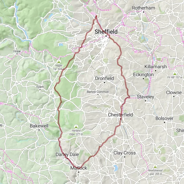
Explore the picturesque Ashover Valley on this gravel adventure
This gravel adventure takes you through the picturesque Ashover Valley, providing stunning views and a mix of challenging terrain. With a total ascent of 944 meters, this route is suitable for intermediate gravel riders looking for a challenging ride. The difficulty level for this route is rated at 3, making it accessible for well-trained amateur riders.
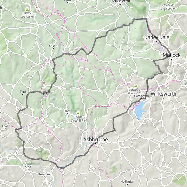
Embark on a scenic gravel adventure through picturesque Derbyshire.
Enjoy the quiet beauty of Matlock's surroundings on this 77 km gravel route. Discover charming villages like Markeaton and Belper Lane End, and marvel at the stunning landscapes along the way. With an ascent of 927 meters, this route offers a moderate challenge for gravel enthusiasts.
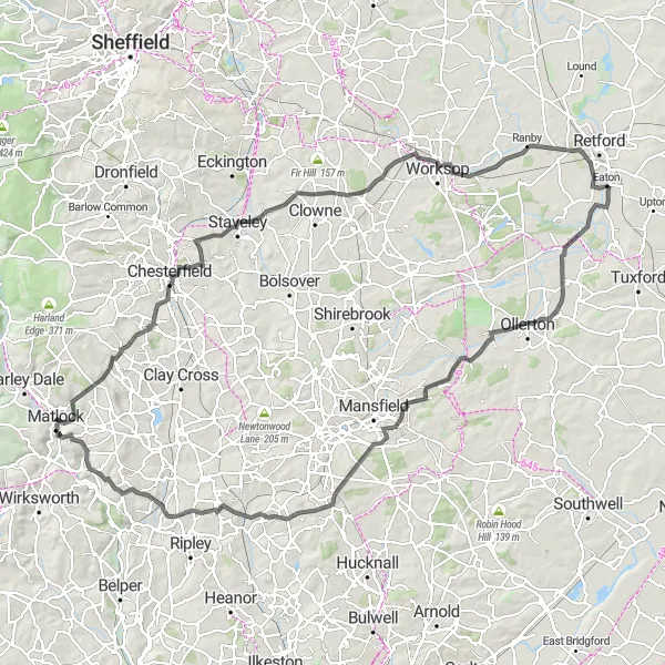
Embark on a thrilling road cycling adventure through picturesque Matlock and beyond.
Get ready for an epic 124 km road cycling journey that takes you through stunning landscapes and charming villages. This route features significant climbs and descents along its 1293 meters of ascent. Highlights include Kelstedge, with its rural charm, and Edwinstowe, known for its connections to Robin Hood. Suitable for experienced cyclists looking for a challenge.
A gravel route with a mix of rough terrain and scenic beauty
This gravel adventure takes you from Matlock to High Tor, providing a thrilling ride along off-road paths and stunning scenery. With a total ascent of 574 meters, this route is suitable for intermediate gravel riders looking for some excitement. It offers a mix of challenging climbs, descents, and flat sections. The difficulty level for this route is rated at 3, making it accessible for well-trained amateur riders.
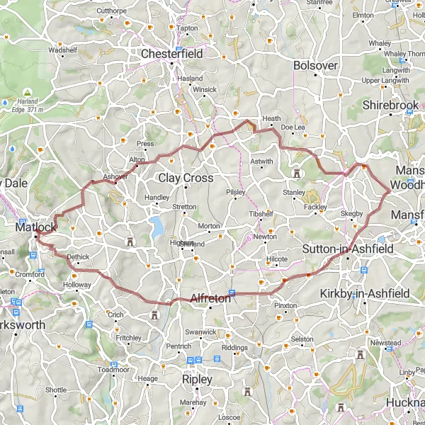
Experience challenging climbs and beautiful countryside views
This road ride takes you from Matlock to Leabrooks Hill, offering challenging climbs and stunning countryside views. With a total ascent of 1,279 meters, this route is suitable for experienced riders looking for a challenging and scenic ride. The difficulty rating for this route is 5, due to the steep and long climbs.
Cycling routes nearby:
Nearby regions: