Scenic road cycling through charming villages in Derbyshire and Nottinghamshire.
Cycling routes from Whaley Bridge
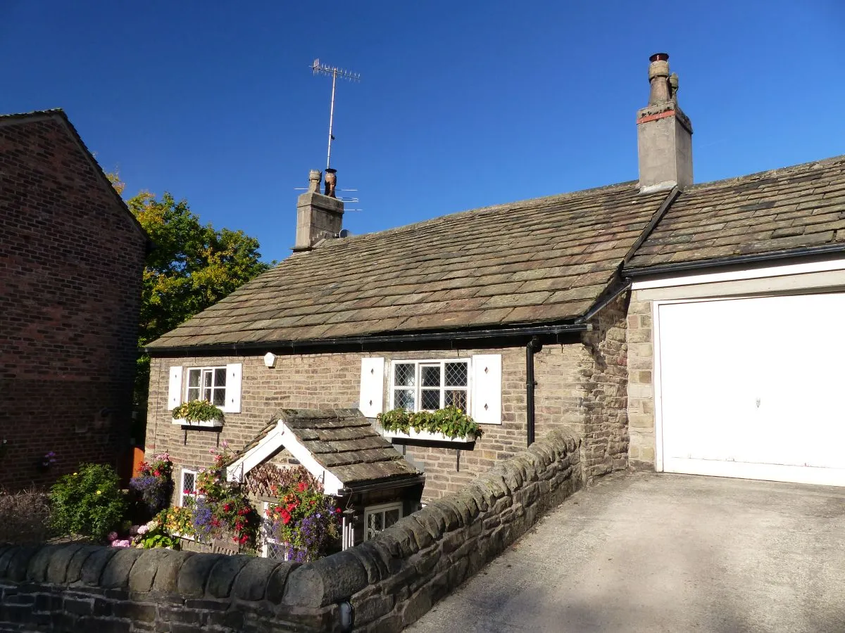
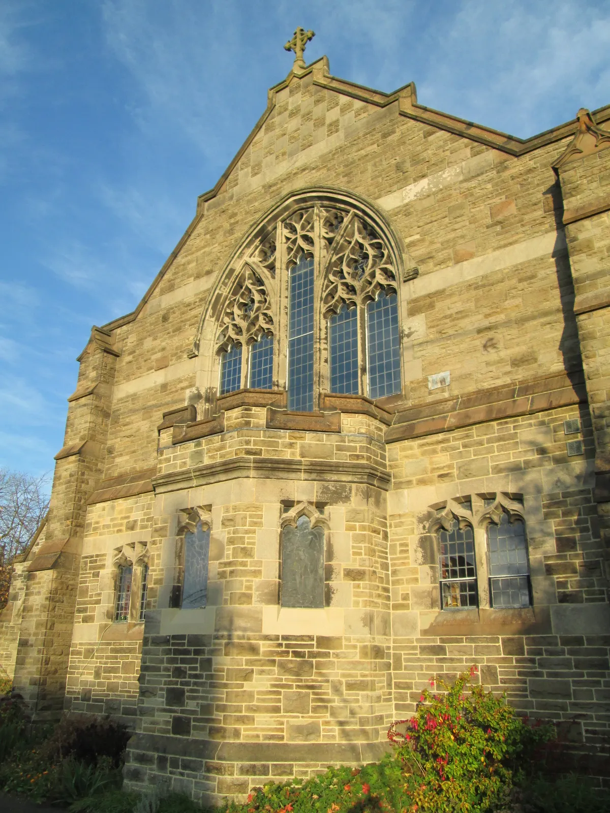
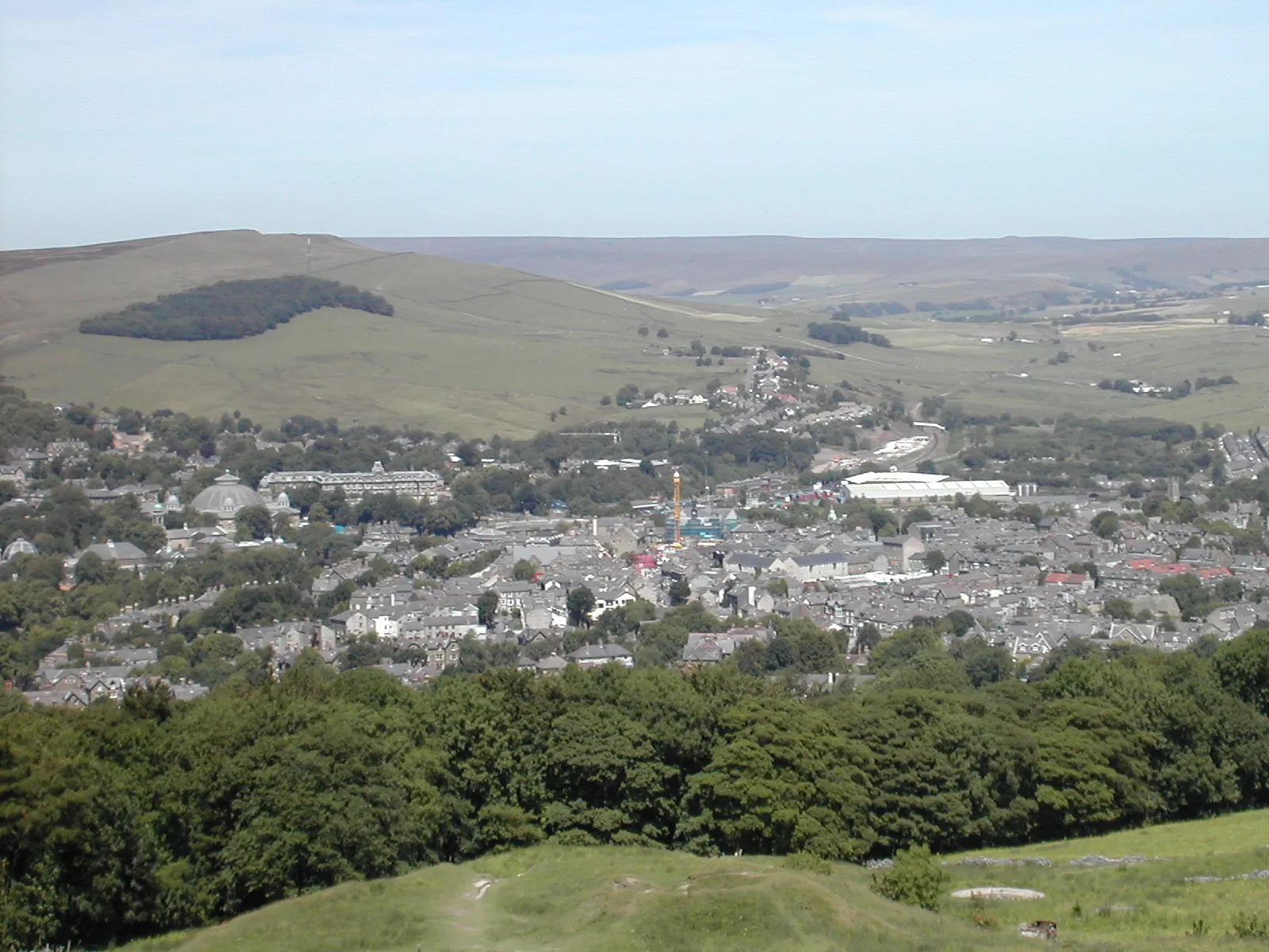
Whaley Bridge is a locality in the Derbyshire and Nottinghamshire region of the United Kingdom. From a cyclist's perspective, Whaley Bridge offers scenic road cycling routes. The region features rolling hills, charming villages, and picturesque landscapes. Although no famous climbs are located directly in Whaley Bridge, you can find challenging ascents nearby, such as Cat and Fiddle. Whaley Bridge is a fantastic location for road cycling enthusiasts who enjoy tranquil rides through the English countryside.
Embark on a scenic gravel adventure exploring the outskirts of Whaley Bridge
Discover the outskirts of Whaley Bridge on this scenic gravel adventure. With a total ascent of 647 meters over a distance of 29km, this route is suitable for cyclists of all skill levels. Highlights of this route include Errwood Hall, a historic ruin surrounded by peaceful woodlands, Hawkhurst Head, offering panoramic views of the surrounding countryside, and Whaley Bridge, a charming town with picturesque surroundings. With a difficulty rating of 3 and an epicness rating of 2, this route promises a delightful cycling experience.
Venture through stunning hills and breathtaking landscapes
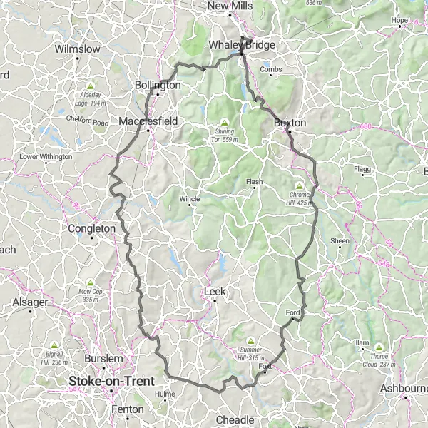
This road cycling route from Whaley Bridge is perfect for avid cyclists who love a challenge. With a total ascent of 1900m and a distance of 112km, you'll certainly feel accomplished after completing this scenic journey. Along the way, you'll encounter highlights such as Corbar Hill, Buxton, Parkhouse Hill, Longnor, Froghall, the highest point on Wetley Common, Biddulph Moor, North Rode, Ian Curtis' Grave, and Nab Head. These highlights offer unique points of interest and add to the overall appeal of this epic route.
Enjoy a scenic road cycling route through the picturesque countryside near Whaley Bridge
Experience the beauty of the tranquil countryside surrounding Whaley Bridge on this road cycling route. With a total ascent of 789 meters over a distance of 69km, this route is suited for leisurely rides and enjoying the stunning landscapes. Highlights of this route include Kerridge Hill, offering panoramic views of the surrounding countryside, Moss Rose, a beautiful area abundant in flora and fauna, and Chorley, a peaceful village surrounded by green fields. With a difficulty rating of 2 and an epicness rating of 2, this route provides a relaxing and enjoyable cycling experience.
A stunning loop through the Peaks, with challenging climbs and breathtaking landscapes.
This round-trip cycling route takes you on a thrilling adventure through the picturesque Peak District. With a distance of 45 kilometers and an ascent of 826 meters, it is suitable for very well-trained amateur cyclists. The route offers a great mix of challenging climbs and exhilarating descents, providing a true test of stamina and skill. Along the way, you'll be rewarded with stunning vistas of rolling hills, deep valleys, and quaint villages. Highlights include the iconic Black Hill, with its rugged beauty, and the charming town of Disley, known for its historic architecture. Overall, this route provides a memorable cycling experience in one of the UK's most beautiful regions.
Escape into the tranquility of the countryside on a gravel adventure
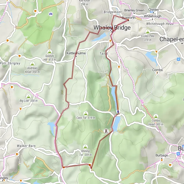
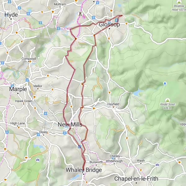
Experience the beauty and serenity of the countryside on this gravel cycling route near Whaley Bridge. With a moderate ascent of 660m and a distance of 37km, this route provides a scenic and enjoyable riding experience for gravel enthusiasts. Highlights of the route include Cown Edge, Simmondley, Charlesworth, and Whaley Bridge. These highlights offer unique points of interest along the way. Whether you're an experienced gravel rider or looking to try something new, this route promises a memorable adventure through picturesque landscapes.
Challenging Peaks and Valleys
Embark on a challenging road cycling adventure through the peaks and valleys near Whaley Bridge
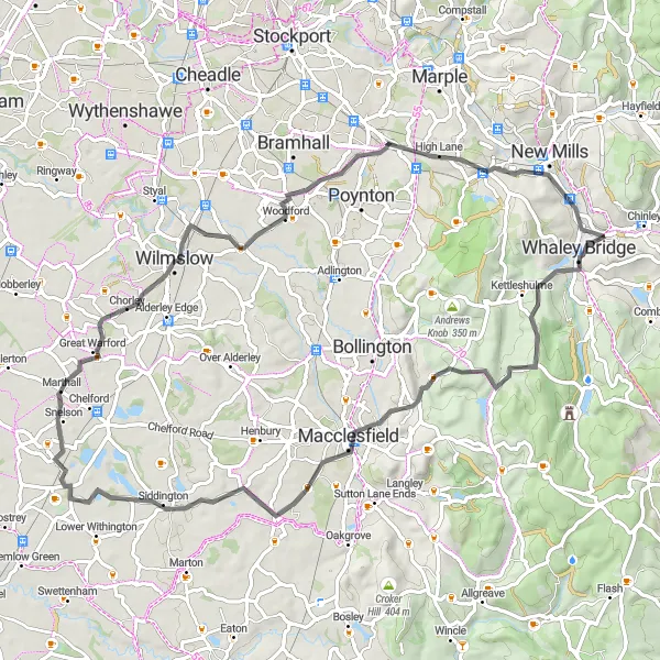
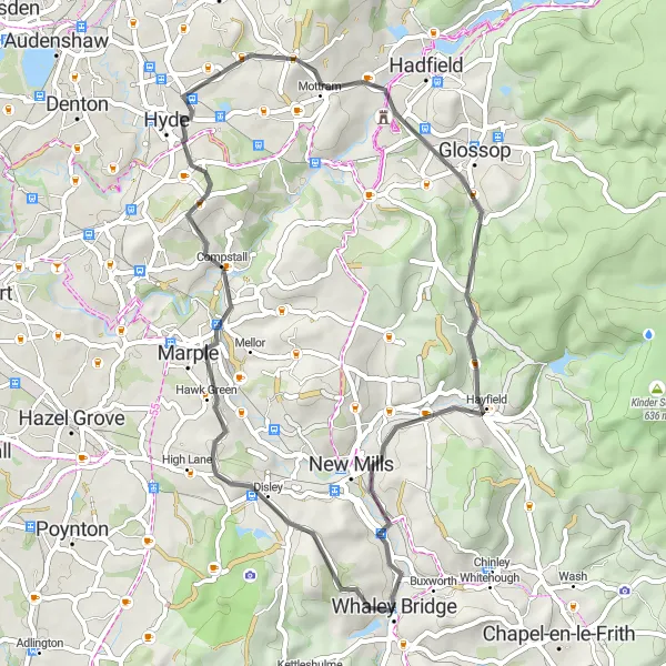
This road cycling route takes you through the stunning peaks and valleys near Whaley Bridge, providing a challenging yet rewarding experience. With a total ascent of 1561 meters over a distance of 86km, this route showcases the striking natural beauty and picturesque villages of the area. Highlights of this route include Glossop, a historic town offering stunning views of the surrounding hills, Pikenaze Hill, a challenging climb with panoramic vistas over the countryside, and Thornhill, a quaint village known for its charm and scenic landscapes. With a difficulty rating of 4 and an epicness rating of 3, this route is suitable for experienced cyclists seeking an adventurous ride.
Enjoy the picturesque countryside and rolling hills
Embark on this 50km road cycling route near Whaley Bridge for a delightful journey through the beautiful Derbyshire countryside. With an ascent of 857m, the route offers a moderate challenge for cyclists of all skill levels. Highlights along the way include Gautries Hill, Taddington, Chelmorton Low, Harpur Hill, Grin Low, Combs Head, and Fernilee. These highlights provide great opportunities to explore local attractions and admire the stunning natural landscapes. Overall, this route is perfect for those seeking a scenic and enjoyable cycling experience.

Embark on a challenging road cycling adventure exploring the hills surrounding Whaley Bridge
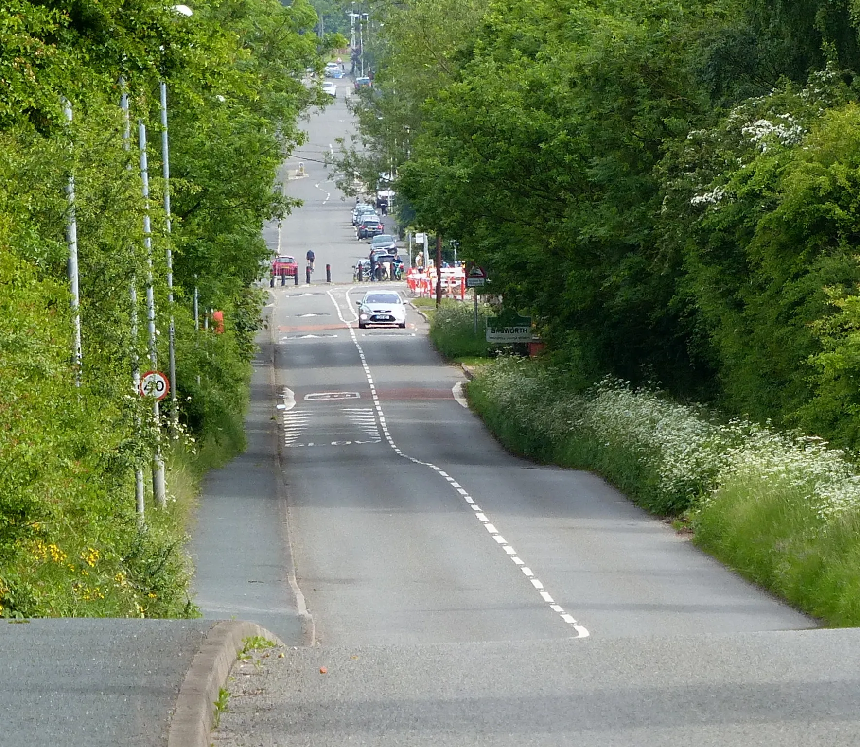
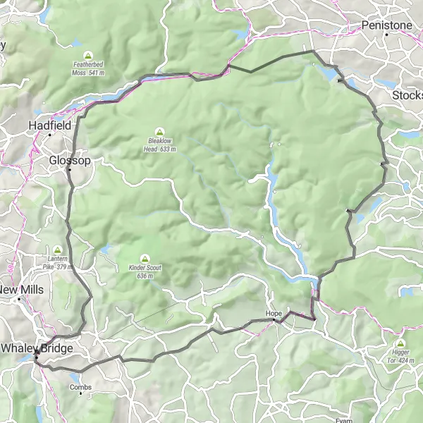
This road cycling route takes you through a challenging terrain with a total ascent of 1986 meters over a distance of 117km. Starting in Whaley Bridge, this route showcases the stunning landscapes and diverse hills in the area. Highlights of this route include Ridge Quarry View Point, offering panoramic views over the surrounding countryside, Glossop, a town known for its historic charm and breathtaking scenery, and Buxworth, a picturesque village located on the banks of the scenic Lower Buxworth Reservoir. This route is suitable for experienced cyclists seeking a challenging and rewarding ride. With a difficulty rating of 5 and an epicness rating of 4, this route promises an unforgettable cycling adventure.
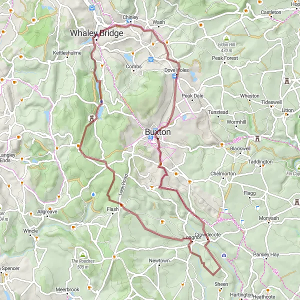
Push your limits on an epic gravel cycling adventure
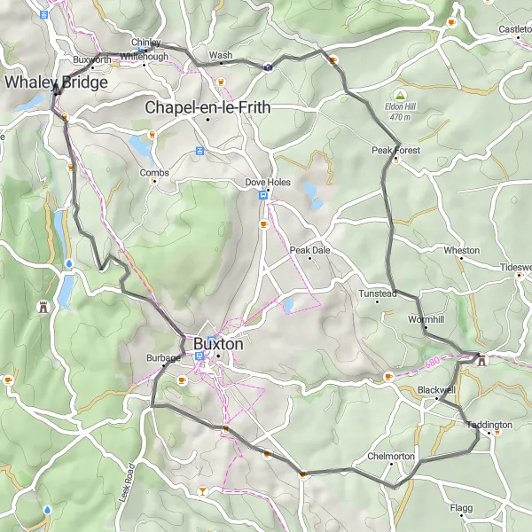
Embark on this 62km gravel cycling route that starts from Whaley Bridge and immerse yourself in an adventurous journey through some of the most beautiful countryside in the area. With an ascent of 1030m, this route is perfect for experienced gravel riders looking for a challenge. Highlights along the way include Eccles Pike, Blackwell, Sough Top, Pilsbury Hill, Crowdecote, Buxton, and Corbar Hill. These highlights offer breathtaking views and diverse terrain, making this route truly unforgettable. Prepare for an epic day of cycling on this adventurous gravel route.
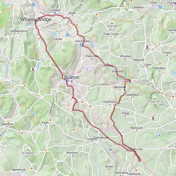
Explore the rugged beauty of the Peak District on this challenging gravel route
This gravel adventure takes you through the stunning Peak District, showcasing its diverse landscapes and picturesque villages. With a total ascent of 1142 meters over a distance of 60km, this route is suited for experienced and well-trained cyclists. The highlights of this route include Eccles Pike, a panoramic viewpoint offering breathtaking views, Buxton, a historic town known for its spa culture, and Oliver Hill, a hidden gem offering stunning vistas. With a difficulty rating of 4 and an epicness rating of 3, this route provides the perfect mix of challenge and natural beauty.
Cycling routes nearby:
Nearby regions: