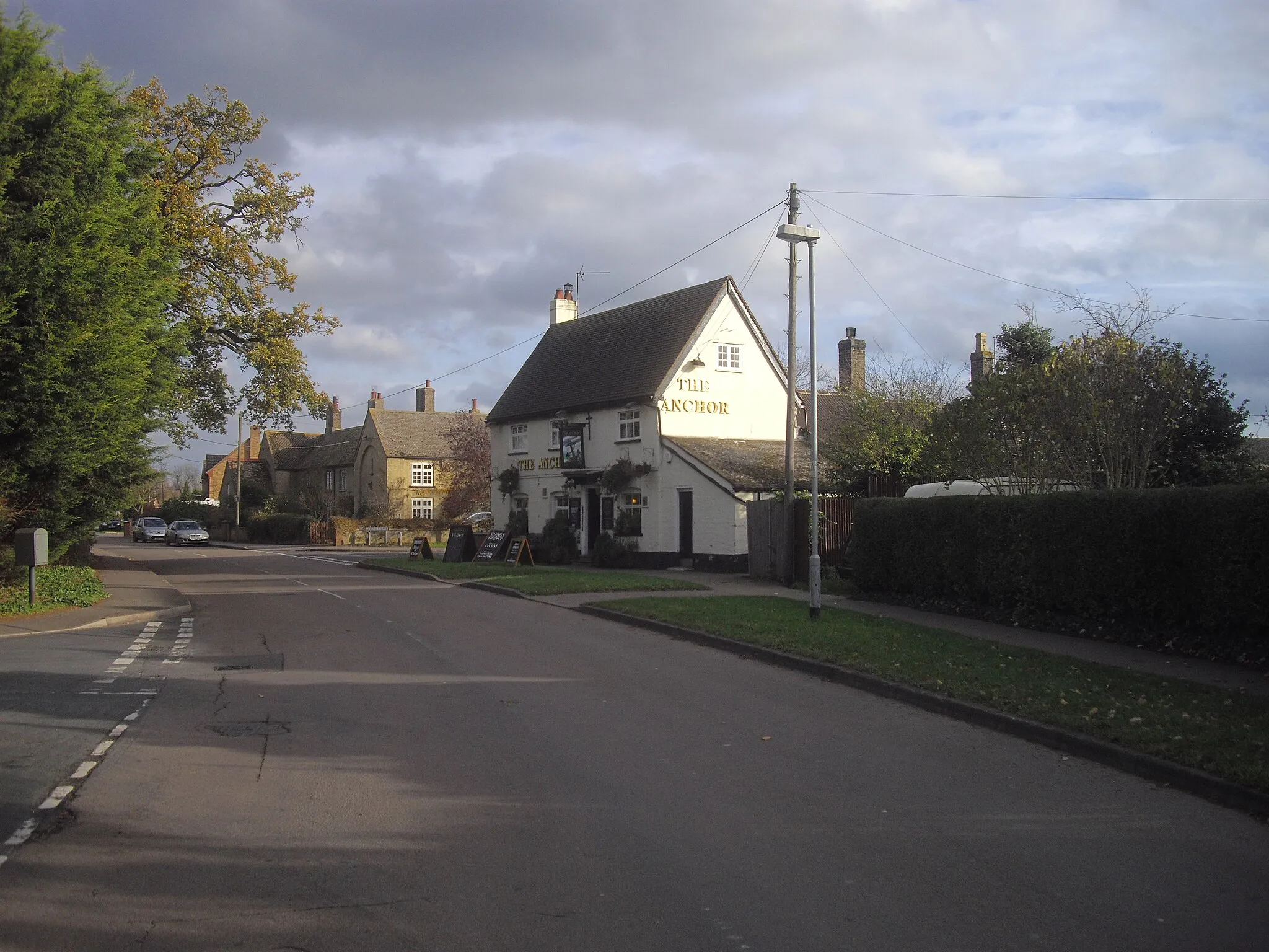
Adventure and Challenge Await in Buckden
Cycling routes from Buckden
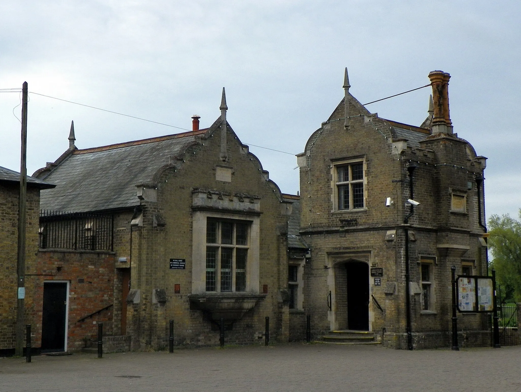
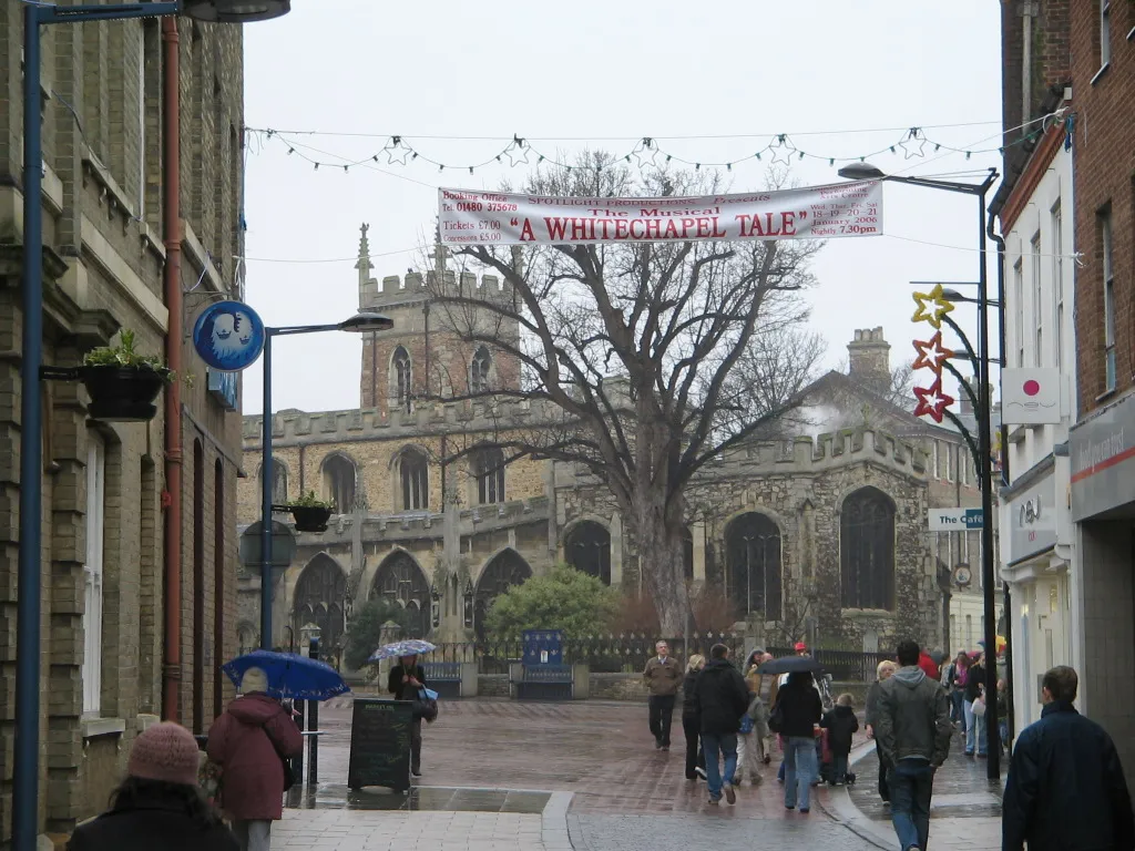
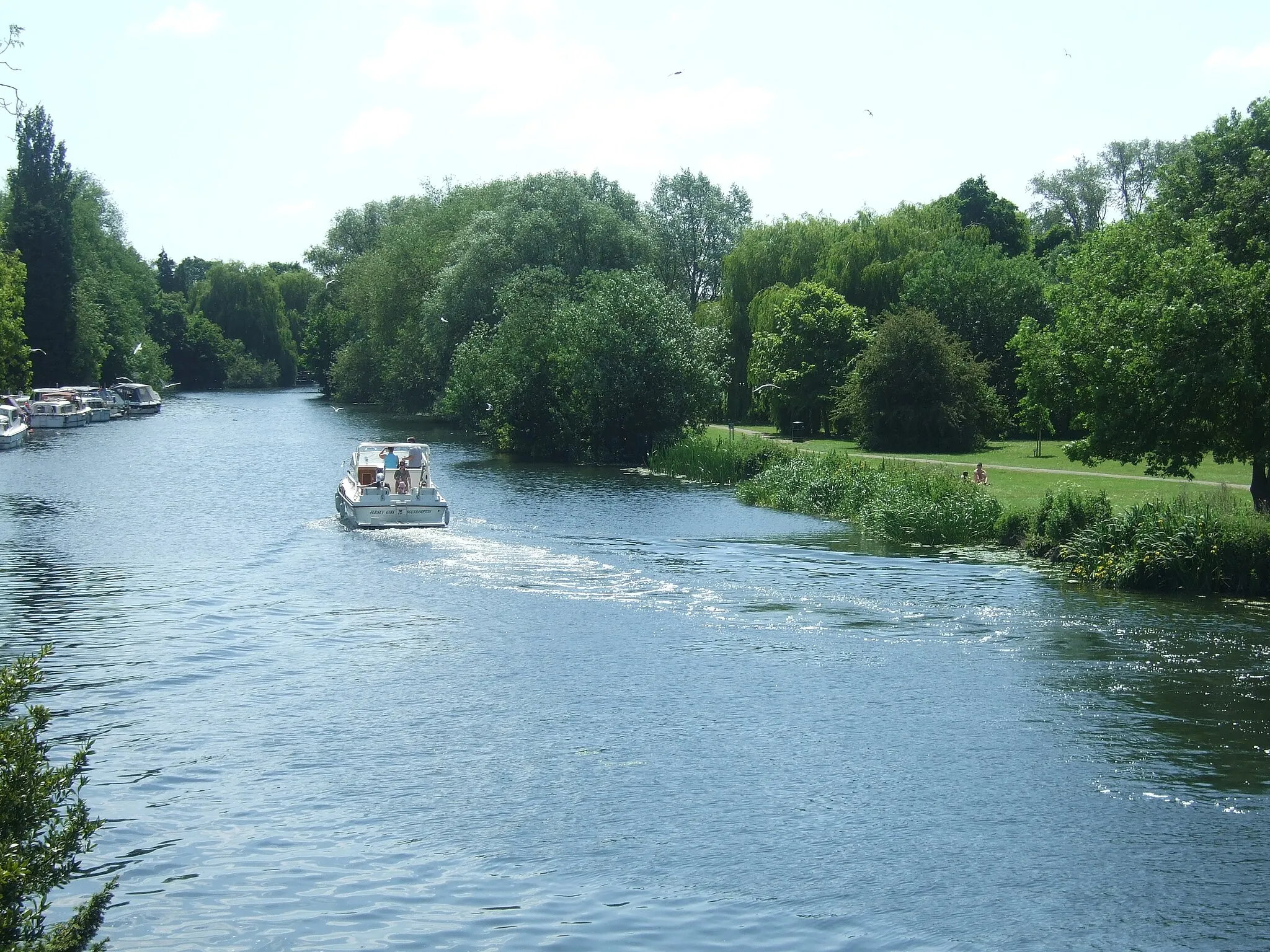
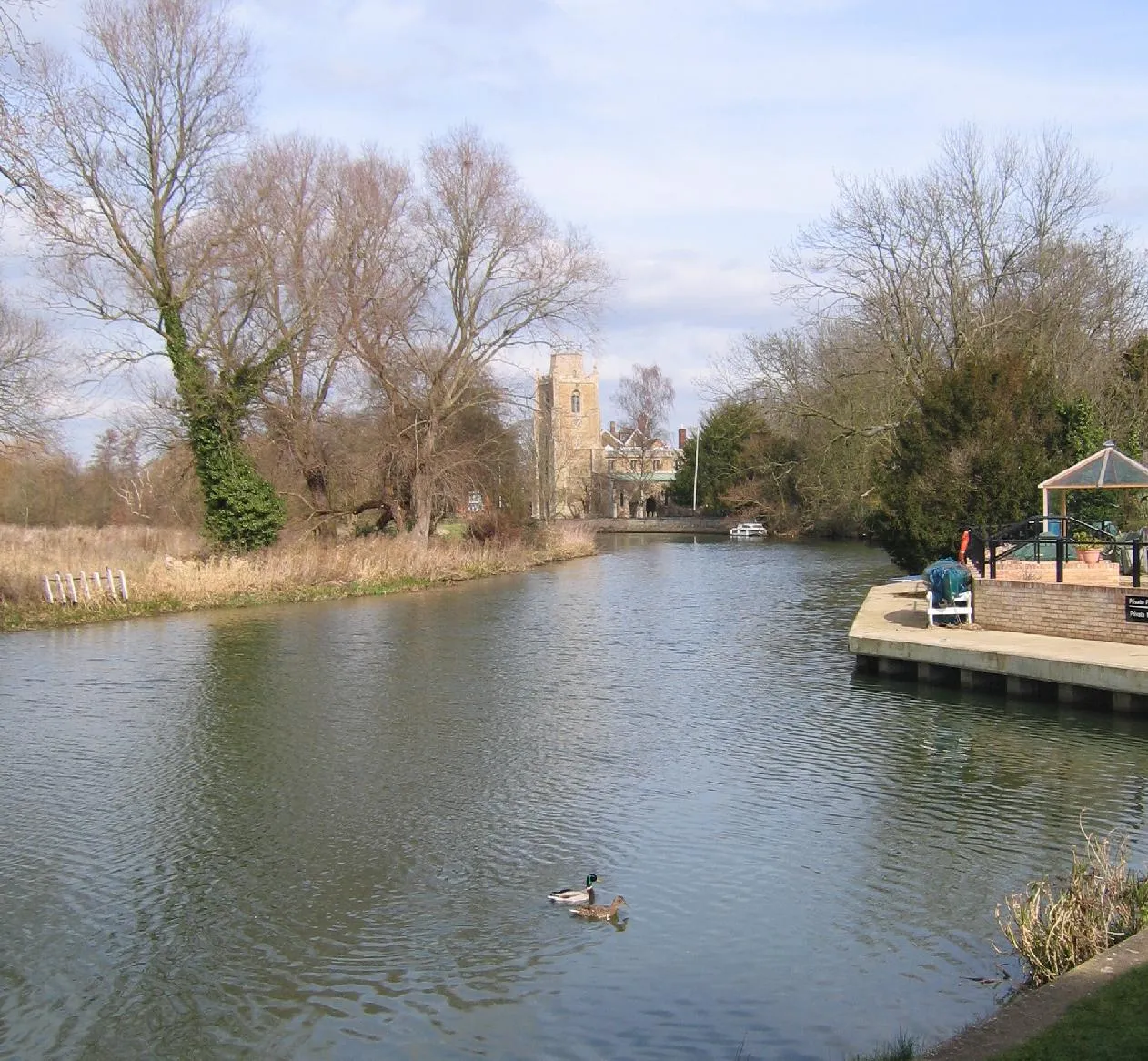
Buckden, situated in East Anglia, United Kingdom, offers road and gravel cyclists a diverse range of cycling routes. From challenging climbs to rolling hills, cyclists can explore the beautiful landscapes of this locality. Buckden is also in close proximity to well-known cycling spots and renowned climbs, making it an ideal destination for cycling enthusiasts.
Explore the charming villages and rolling countryside on this road cycling route.
This road cycling route takes you through picturesque villages and beautiful countryside. With a total distance of 73 km and an ascent of 320 meters, it is suitable for well-trained amateurs. Enjoy the peaceful scenery and breathe in the fresh air as you pedal along the route.
Embark on a cycling adventure through the mystical fens and enchanting woodlands near Buckden
Experience the magic of East Anglia as you cycle through the mystical fens and enchanting woodlands near Buckden. This gravel route offers a moderate difficulty level, making it suitable for experienced amateurs. Rated with an epicness of 4, this route is sure to provide an unforgettable adventure. Get ready to discover stunning scenery, hidden nature reserves, and charming villages along the way.
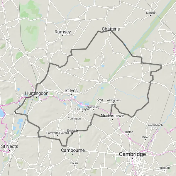
Northamptonshire Excursion
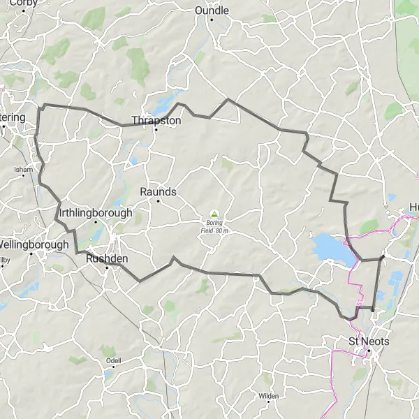
Discover the beauty of Northamptonshire's countryside
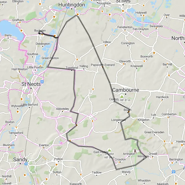
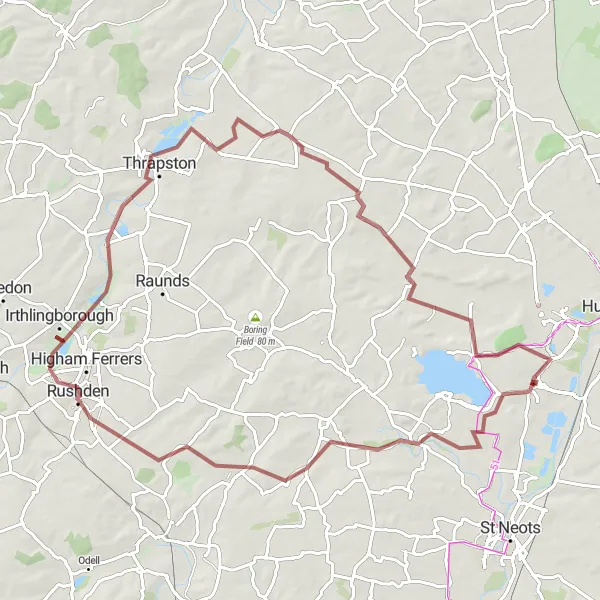
Embrace the scenic landscapes of Northamptonshire with this exhilarating road cycling route. Cover a distance of 95km and experience an ascent of 457m. Journey through the villages of Great Staughton, Swineshead, Burton Latimer, Thrapston, Old Weston, and Grafham before reaching the final destination of Buckden.
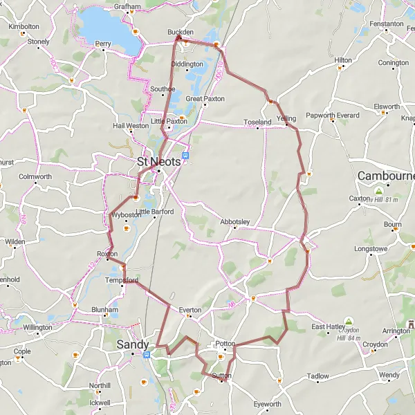
Experience the beauty of Grafham Water
Discover the magnificent Grafham Water with this challenging road cycling route. Covering a distance of 117km and featuring an ascent of 622m, this route will test your cycling skills. Along the way, pass through Little Staughton, Sharnbrook, and Sywell before reaching the final destination of Buckden.
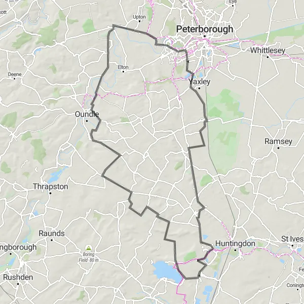
Embark on a challenging road cycling route and discover the rich history of East Anglia.
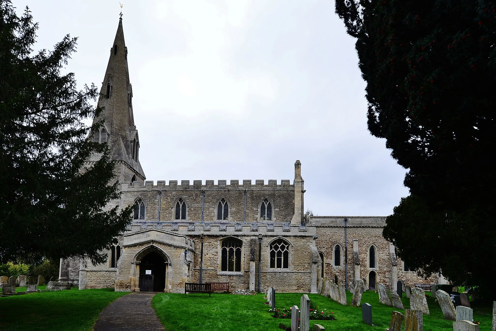
This road cycling route covers a distance of 100 km with an ascent of 404 meters. Suitable for experienced cyclists, it offers a unique opportunity to explore historic castles and churches along the way. Immerse yourself in the region's rich history as you conquer challenging climbs and absorb the beautiful countryside views.
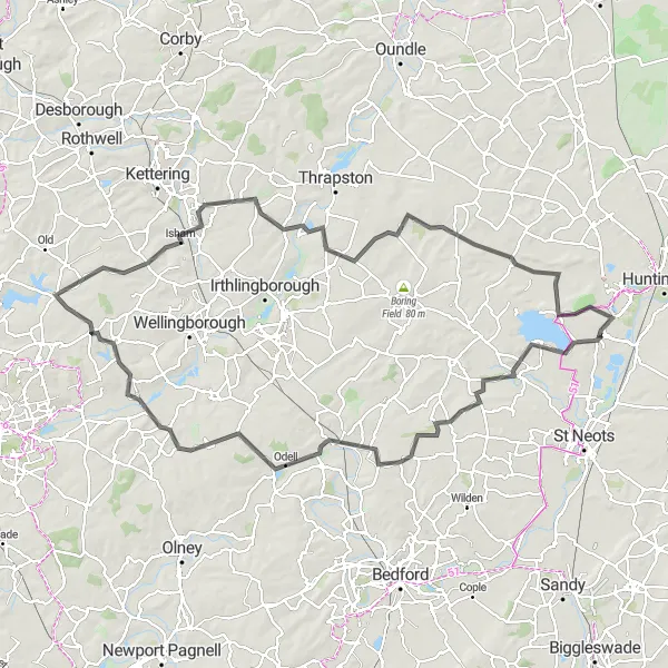
The Gravel Adventure
Embark on a gravel cycling adventure in the scenic surroundings near Buckden.
This gravel cycling route covers a distance of 91 km with an ascent of 178 meters. Suitable for experienced gravel cyclists, it offers stunning views of the countryside and the opportunity to explore hidden gems along the way.
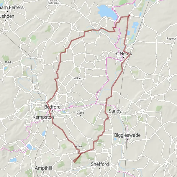
Embark on an adventurous journey through Bedfordshire
Explore the diverse landscapes of Bedfordshire with this challenging gravel route. Covering a distance of 85km and featuring a significant ascent of 373m, this route is perfect for experienced gravel cyclists. Discover the hidden gems of Blunham, Old Warden, and Bedford, before reaching the final destination of Buckden.
Unearth the history of East Anglia as you conquer this challenging road cycling route.
This road cycling route covers a distance of 105 km with an ascent of 289 meters. The challenging terrain is suitable for experienced cyclists looking for a historic adventure. Explore the rich heritage of East Anglia as you pedal through picturesque villages and historic towns.
The Gravel Escapade
Embark on an adventurous gravel route through scenic landscapes near Buckden.
This gravel cycling route covers a distance of 61 km with an ascent of 234 meters. Suitable for experienced gravel cyclists, it offers a thrilling adventure through picturesque villages and stunning countryside. Enjoy the sense of freedom and excitement as you conquer the off-road terrain.
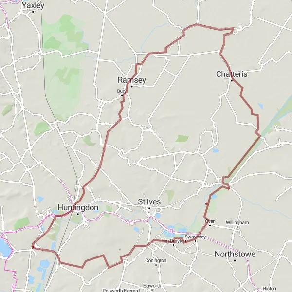
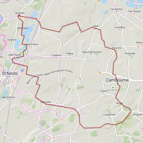
Exploring Cambridgeshire
Immerse yourself in the charm of Cambridgeshire
Experience the beauty of Cambridgeshire with this exciting gravel cycling route. Covering a distance of 63km and featuring an ascent of 221m, this route offers a moderate challenge. Explore the charming villages of Eltisley, Potton, Tempsford, and Little Paxton before reaching the final destination of Buckden.
Cycling routes nearby:


Nearby regions: