Tranquil cycling experience in the beautiful East Anglia region of the United Kingdom
Cycling routes from Burwell
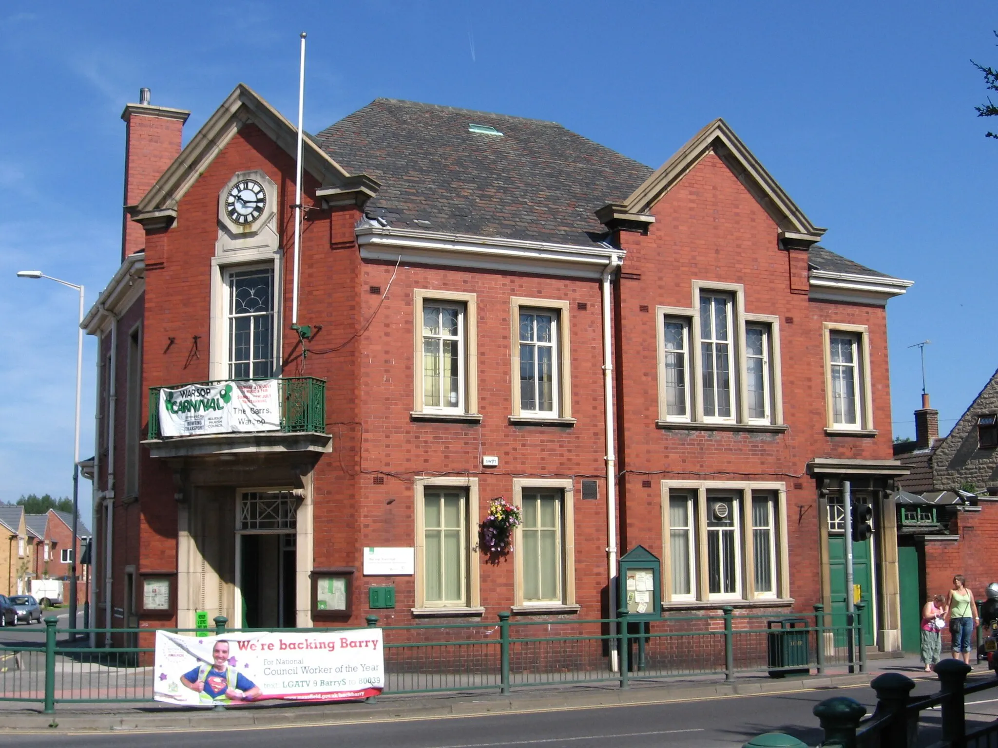
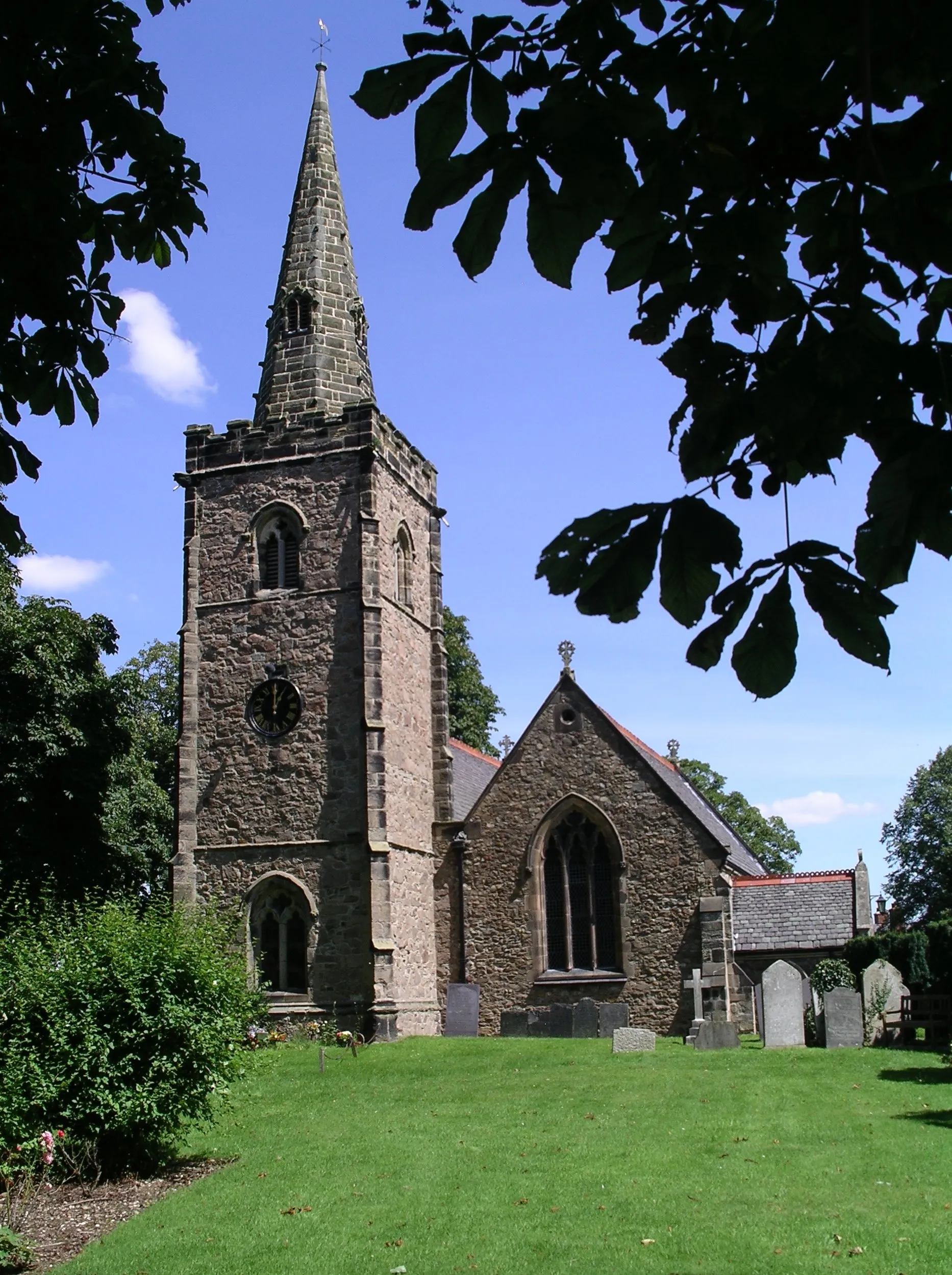
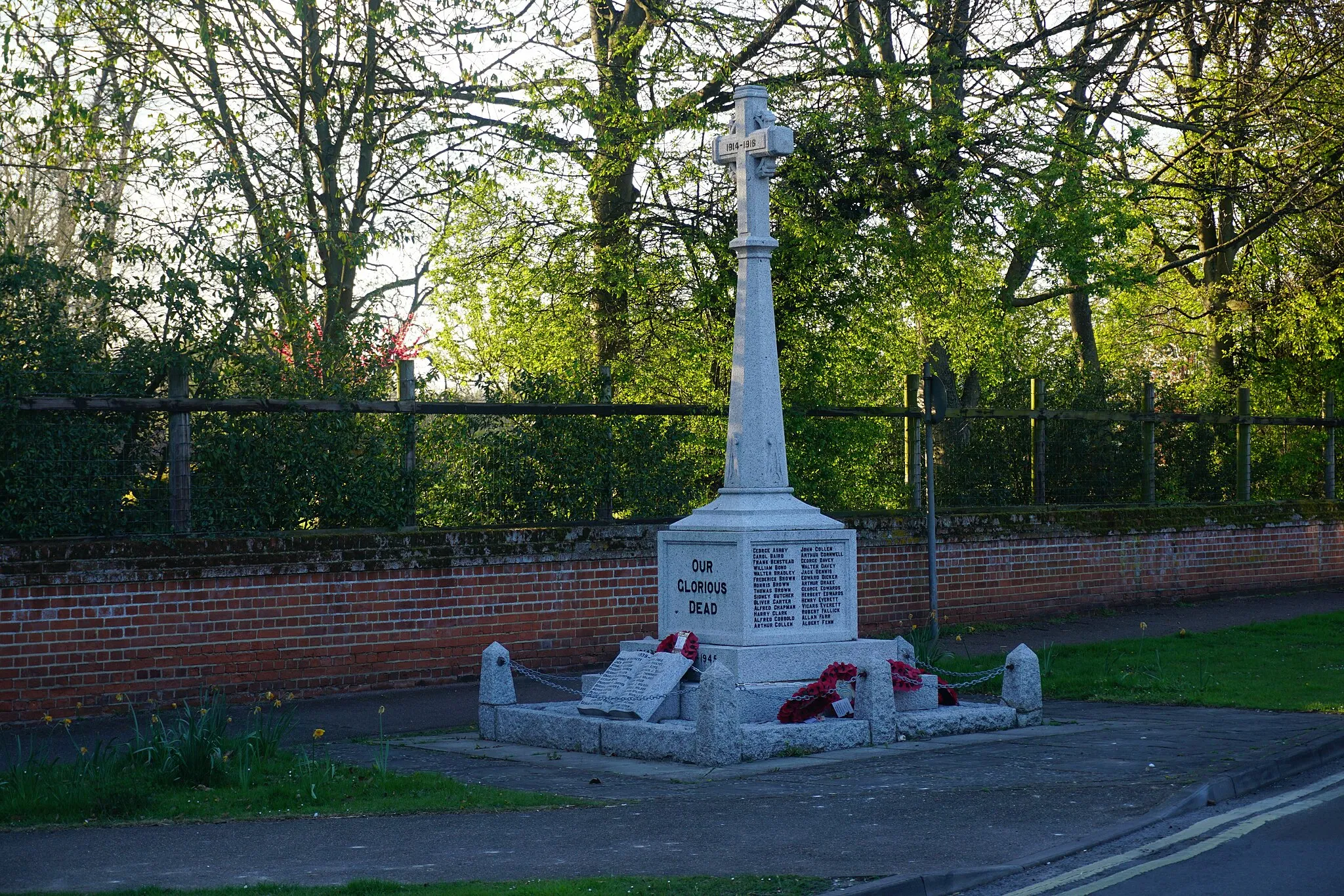
Burwell, located in the East Anglia region of the United Kingdom, offers a pleasant cycling experience with its flat terrain and quiet country roads. Cyclists can explore the scenic landscape, passing through charming villages and enjoying expansive views. The region is known for its unique Fens ecosystem, offering a diverse ecosystem for nature lovers. While Burwell may not offer challenging climbs, it provides a peaceful environment for leisurely rides and exploration of the local heritage. Cyclists can also connect with the larger cycling networks in the surrounding area, exploring nearby towns and attractions.
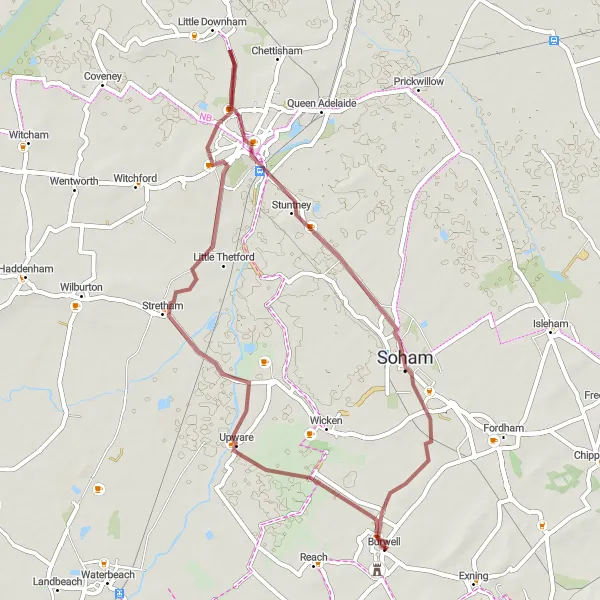
Gravel cycling through scenic countryside and charming villages
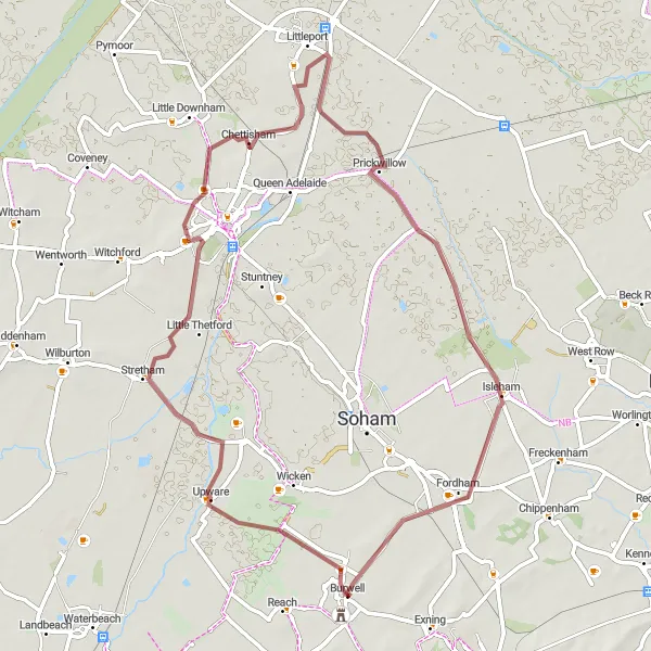
Experience the scenic countryside and charming villages near Burwell with this gravel route. With a distance of 57 kilometers and 75 meters of ascent, this route is suitable for gravel bike enthusiasts looking for a scenic adventure. Highlights along the way include Stretham, Chettisham, Prickwillow, and Isleham. Enjoy the tranquil atmosphere, picturesque landscapes, and the rich history of the region as you pedal through.
Cambridgeshire Hills
Challenging road cycling route with stunning hill climbs
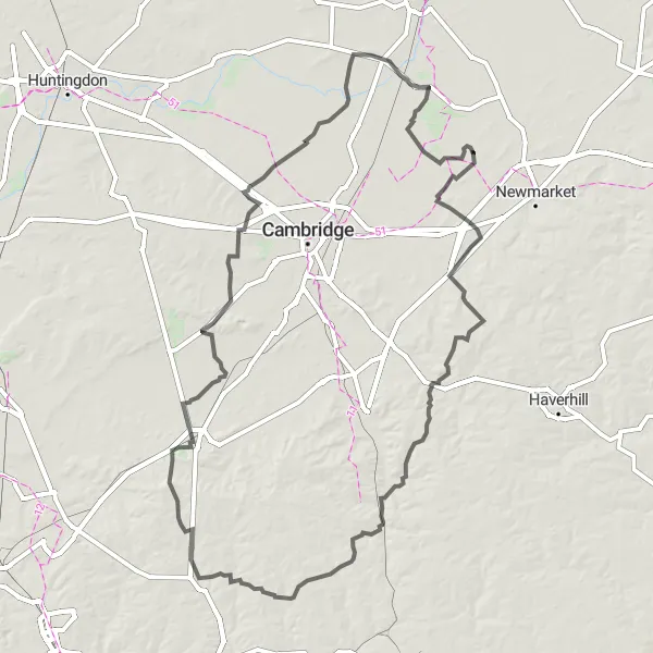
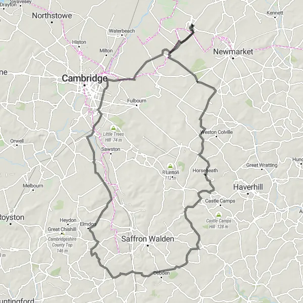
If you are up for a challenge, this road cycling route near Burwell offers a thrilling experience with its hill climbs. With a distance of 147 kilometers and 763 meters of ascent, this route is geared towards experienced cyclists. Highlights along the way include Swaffham Bulbeck, Balsham, Rivey Hill, Saffron Walden, Berden, Buntingford, Church Hill, Orwell Hill, Comberton, Cottenham, Wilburton, and Reach. Prepare to conquer legendary climbs and enjoy breathtaking views as you push yourself to the limit.
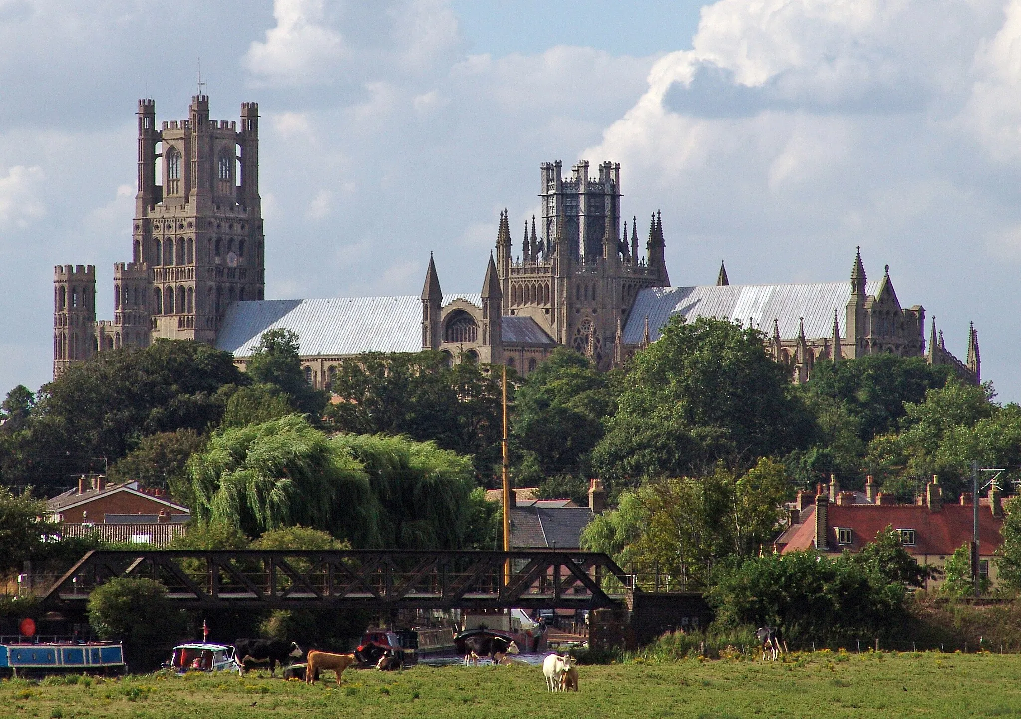
Picturesque Gravel Paths to Ely
Cycle through scenic gravel paths to the historic city of Ely
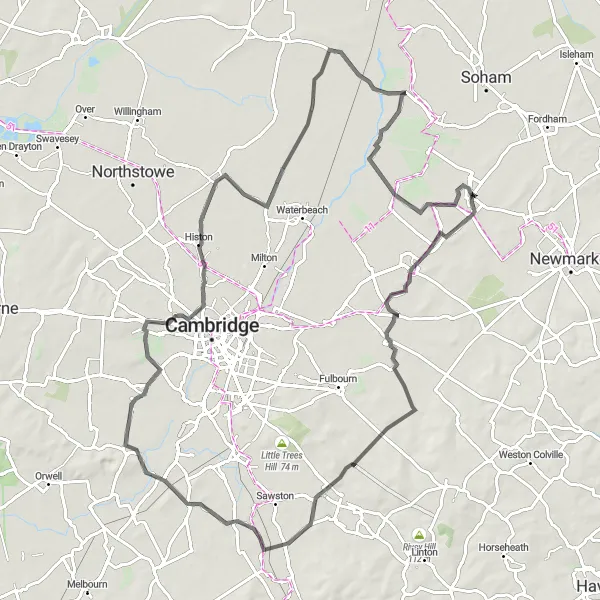
Follow the scenic gravel paths from Burwell to the historic city of Ely on this 45 km round-trip route. With an ascent of 94 meters, this route offers a moderate challenge for cyclists. Highlights along the way include Stretham, Ely, and Soham.
The Gravel Trails of Burwell
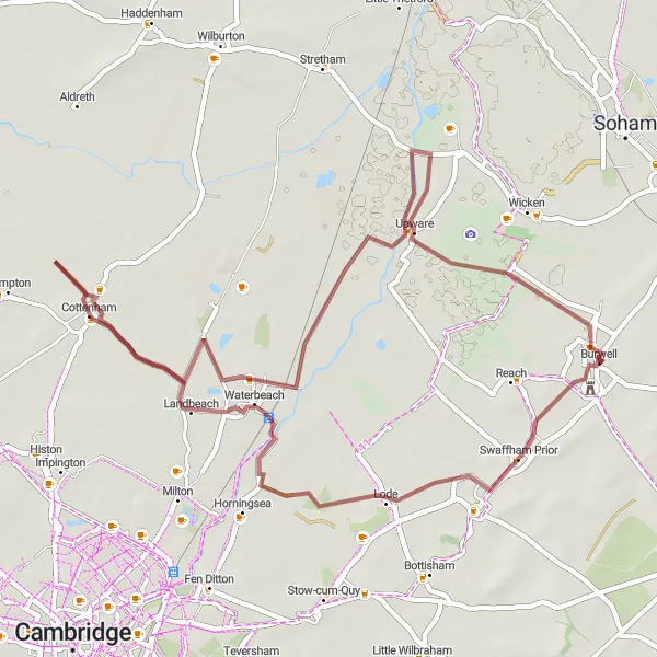
Discover the rugged beauty of Burwell's gravel trails
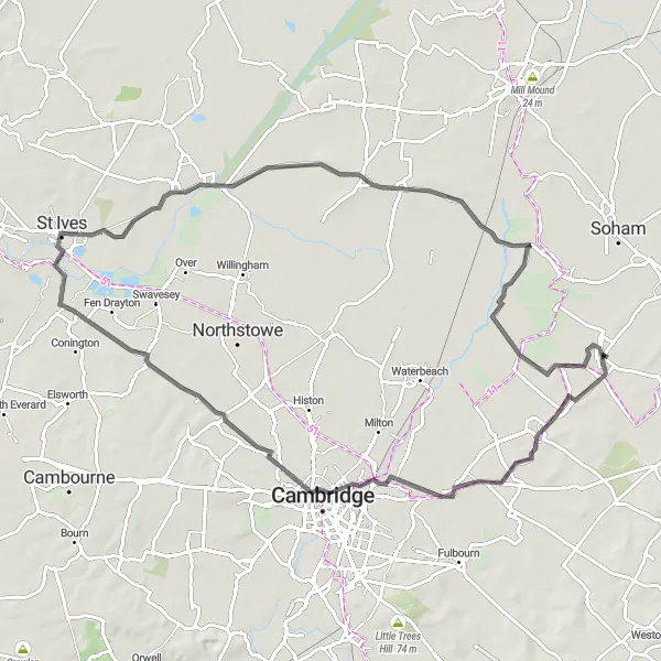
Embark on a thrilling adventure exploring the gravel trails surrounding Burwell. This 52 km round-trip route offers a moderate challenge with an ascent of 52 meters. Highlights along the way include Lode, Waterbeach, Cottenham, Bottisham Lock, and Upware.
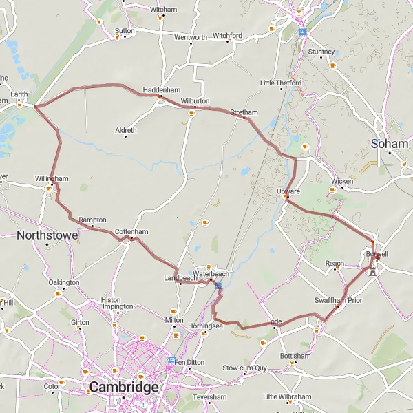
Gravel cycling through picturesque countryside and charming villages
This gravel route takes you through the beautiful countryside near Burwell, East Anglia. It offers a mix of scenic landscapes, charming villages, and some challenging sections. The route starts in Burwell and takes you to highlights such as Lode, Cottenham, Lockspit's viewpoint, Haddenham, and Upware. With a total distance of 59 kilometers and 72 meters of ascent, this route is suitable for gravel bike enthusiasts looking for a scenic adventure.
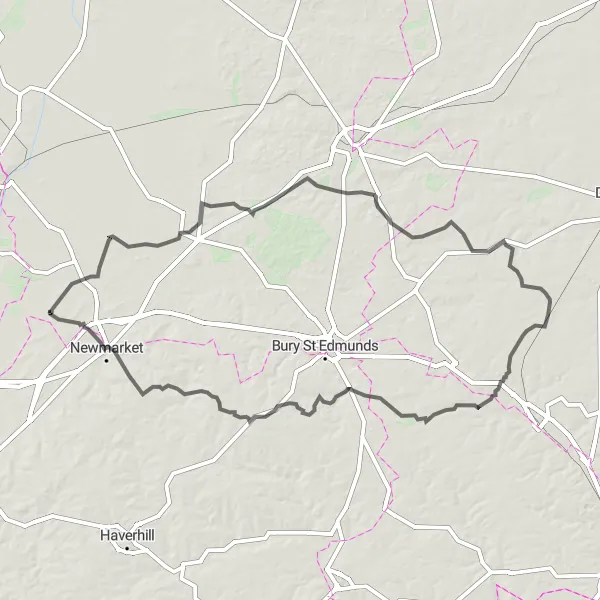
Immerse yourself in the history and beauty of East Anglia
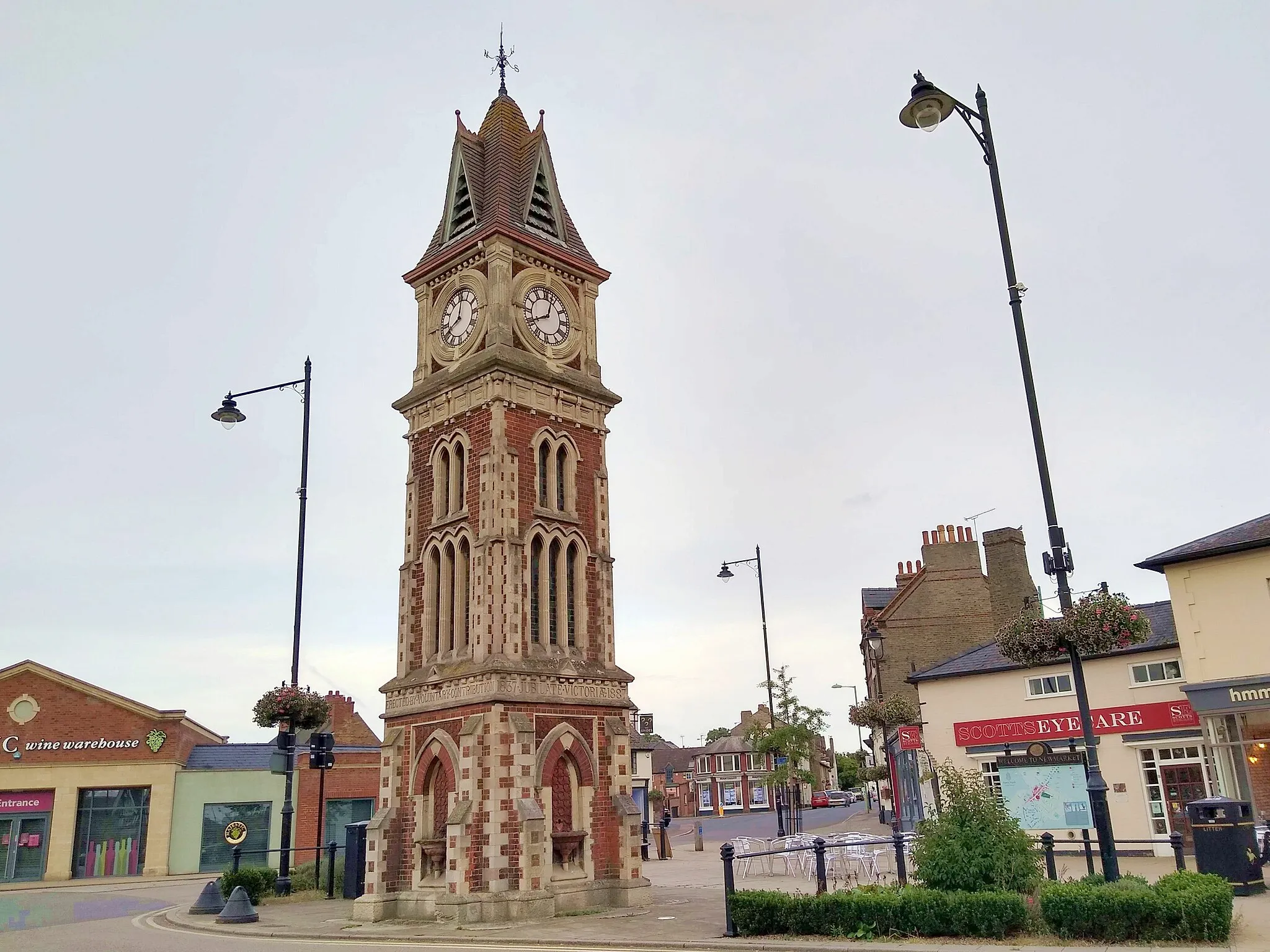
Experience the diverse landscapes and rich history of East Anglia on this 134 km round-trip cycling route. With an ascent of 592 meters, this challenging road route is suitable for experienced cyclists. Highlights along the way include Isleham, Barningham, Haughley, Felsham, Whepstead, and Newmarket.
Road cycling through picturesque villages and historic sites
This road route offers a diverse experience of the Cambridgeshire countryside near Burwell. With a distance of 107 kilometers and 582 meters of ascent, this route is suitable for experienced road cyclists. Highlights along the way include Swaffham Prior, West Wratting, Radwinter, Elmdon, Duxford, White Hill, Lode, and Burwell Castle. Immerse yourself in the history and natural beauty of the region as you pedal through charming villages and past iconic sites.
Road cycling through scenic countryside and charming villages
Explore the picturesque countryside and charming villages near Burwell with this road cycling route. With a distance of 82 kilometers and 142 meters of ascent, this route offers a mix of scenic landscapes and historic sites. Highlights along the way include Fen Ditton, Fenstanton, Lockspit's viewpoint, Wilburton, and Reach. Immerse yourself in the natural beauty of the region as you pedal through the countryside.
Lode and Orwell Cycling Route
Explore the scenic Lode and Orwell areas on this gravel cycling route
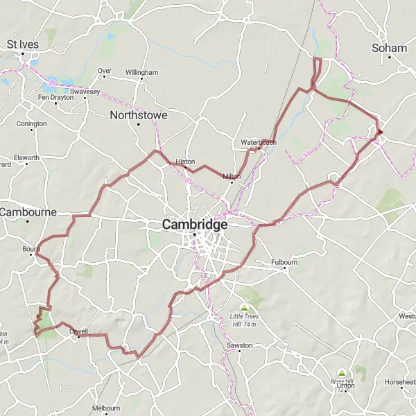
Experience the beauty of the Lode and Orwell areas on this 94 km gravel cycling route starting near Burwell. With a total ascent of 225m and plenty of highlights along the way, this route offers a fun and diverse cycling experience.
Burwell and Surrounding Villages
Explore the charming villages surrounding Burwell
This round-trip cycling route takes you through the picturesque villages near Burwell, showcasing the beauty of the East Anglian countryside. With a total distance of 90 km and an ascent of 155 meters, it offers a moderate challenge for cyclists. The highlights along the way include Swaffham Prior, Signal Hill, Duxford, Haslingfield, Landbeach, Stretham, and Reach.
Cycling routes nearby:


Nearby regions: