Leisurely rides in Comberton, East Anglia
Cycling routes from Comberton
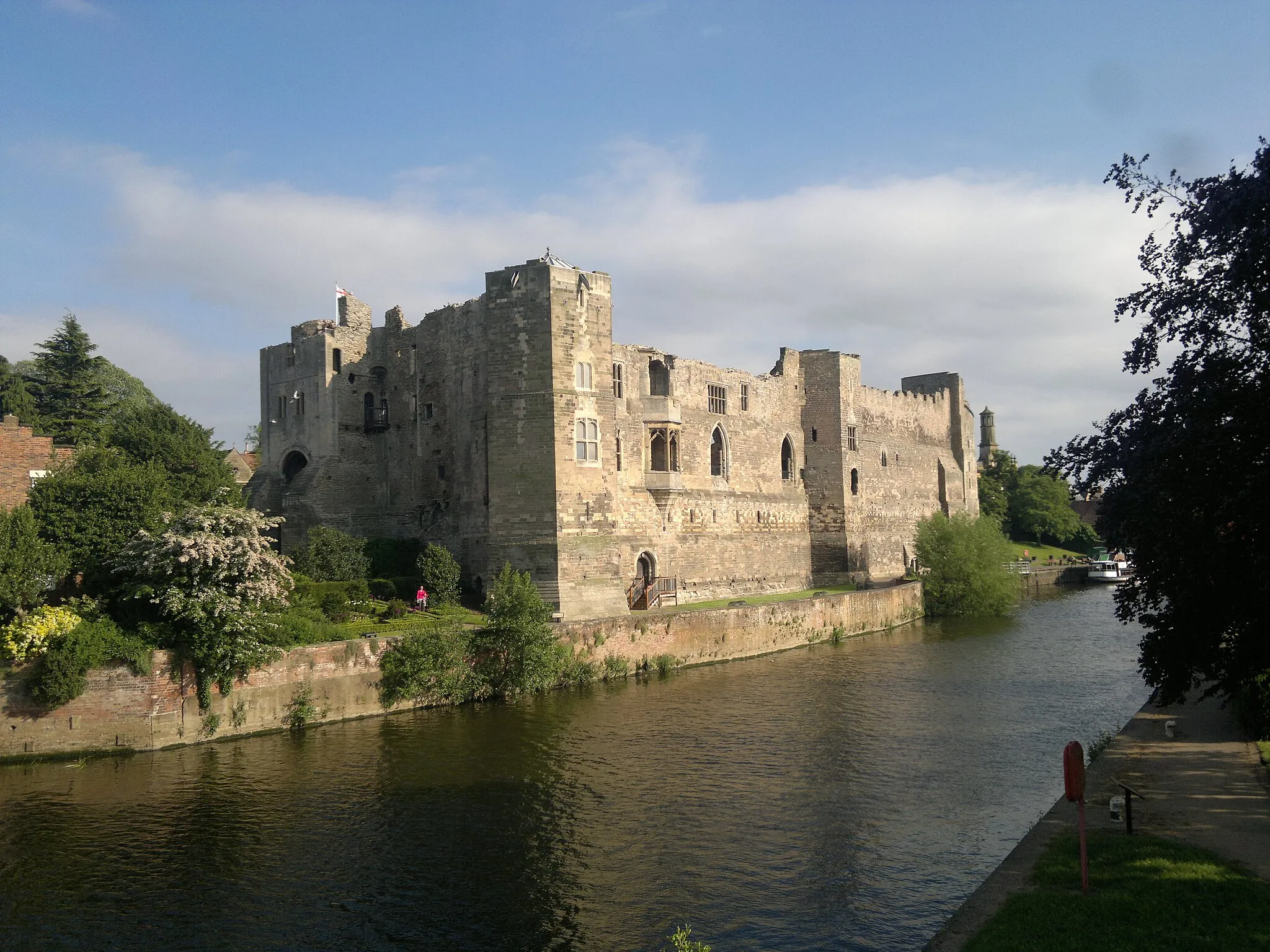
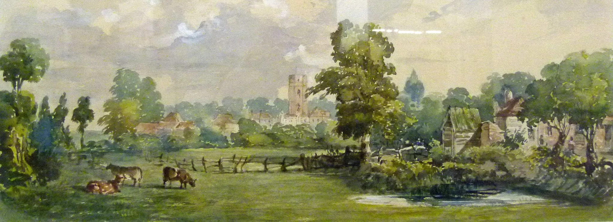
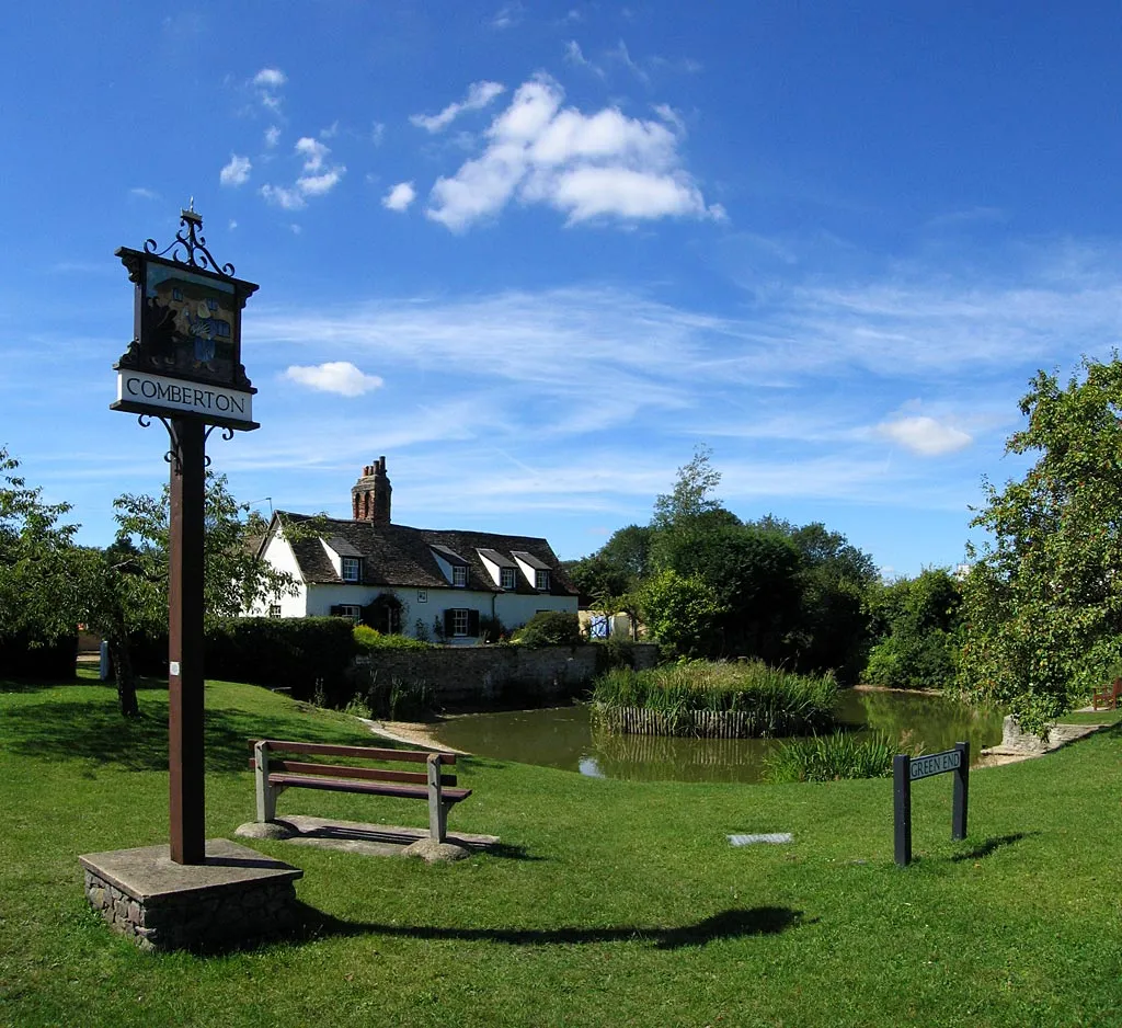
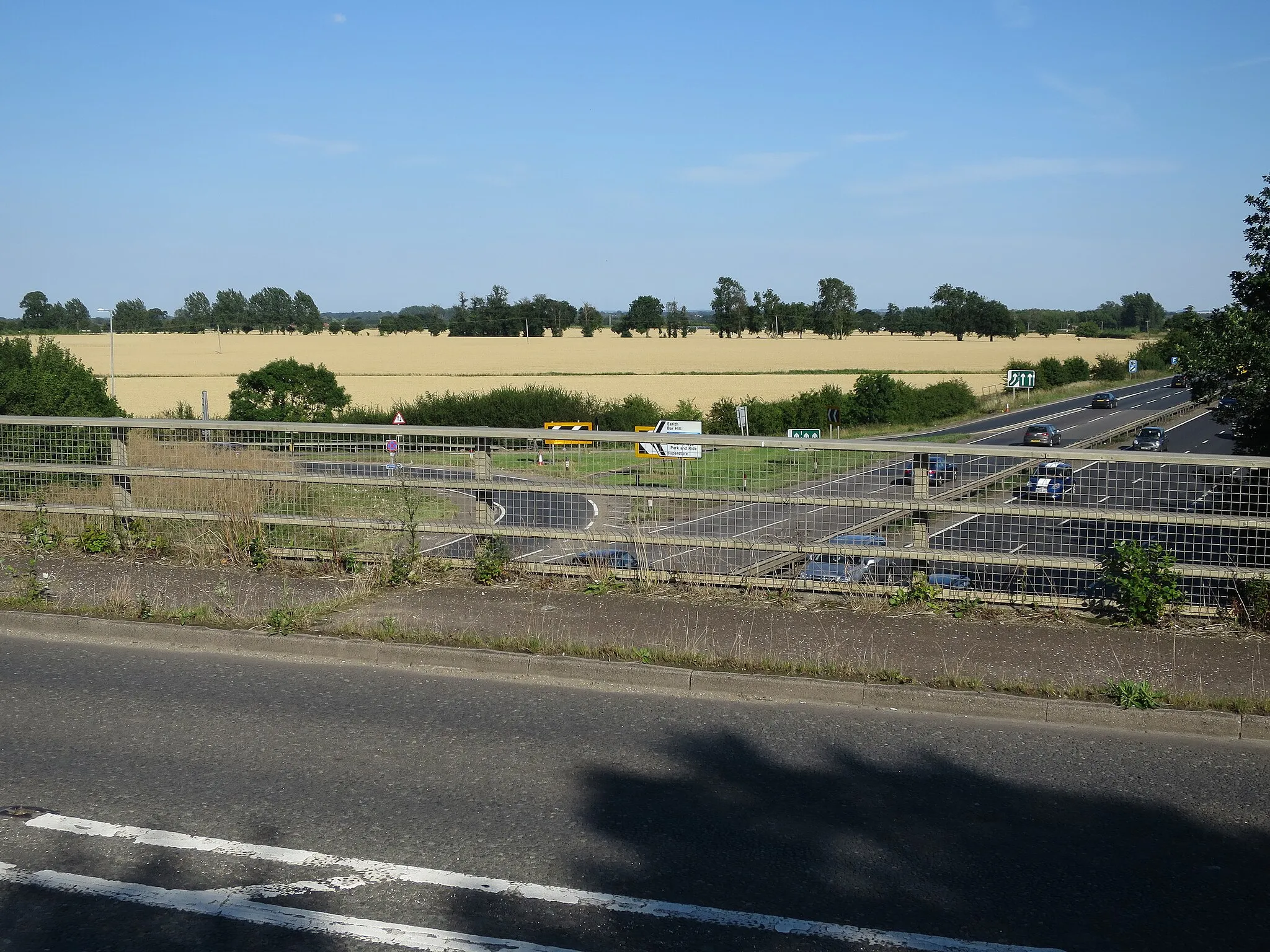
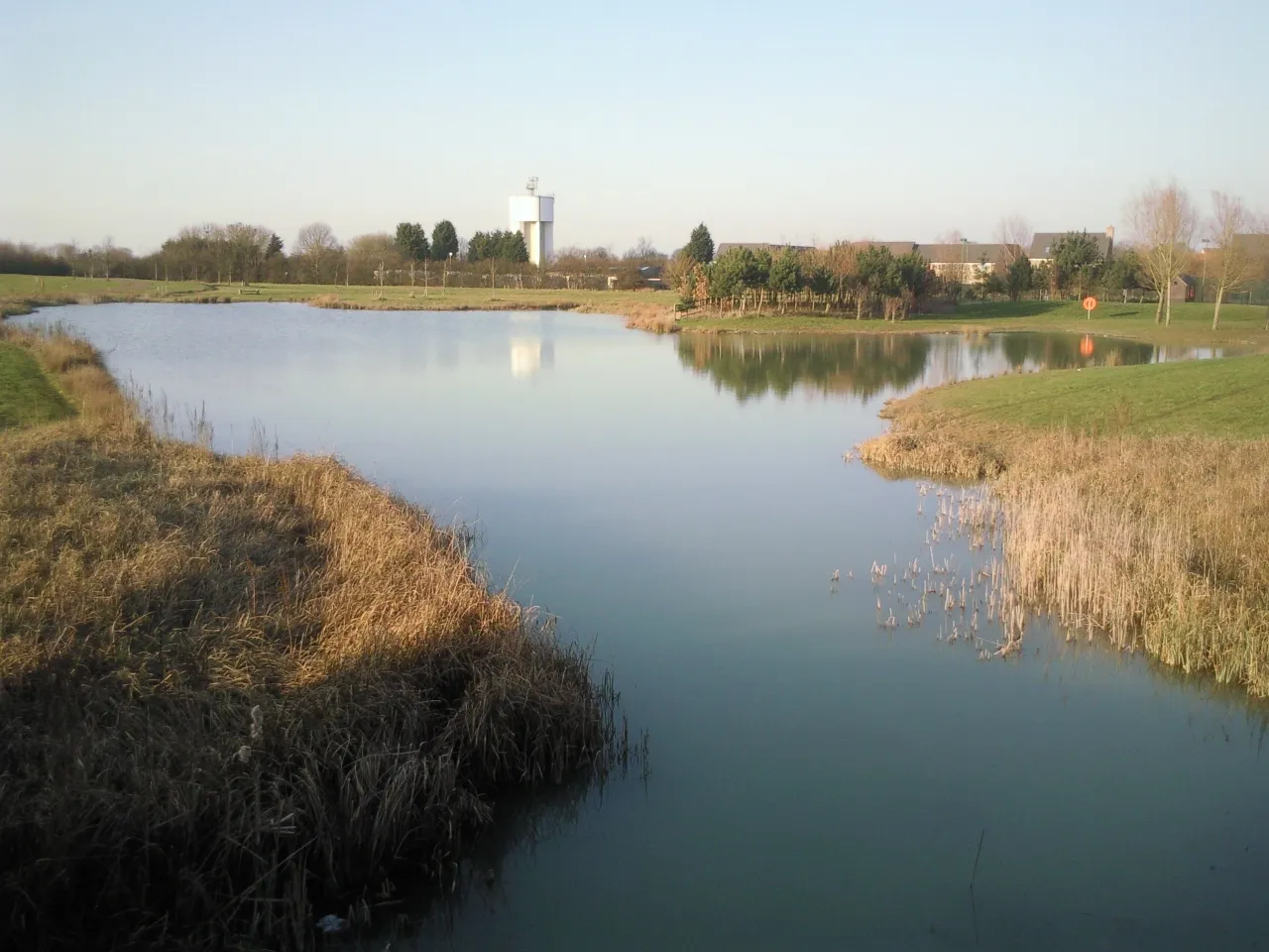
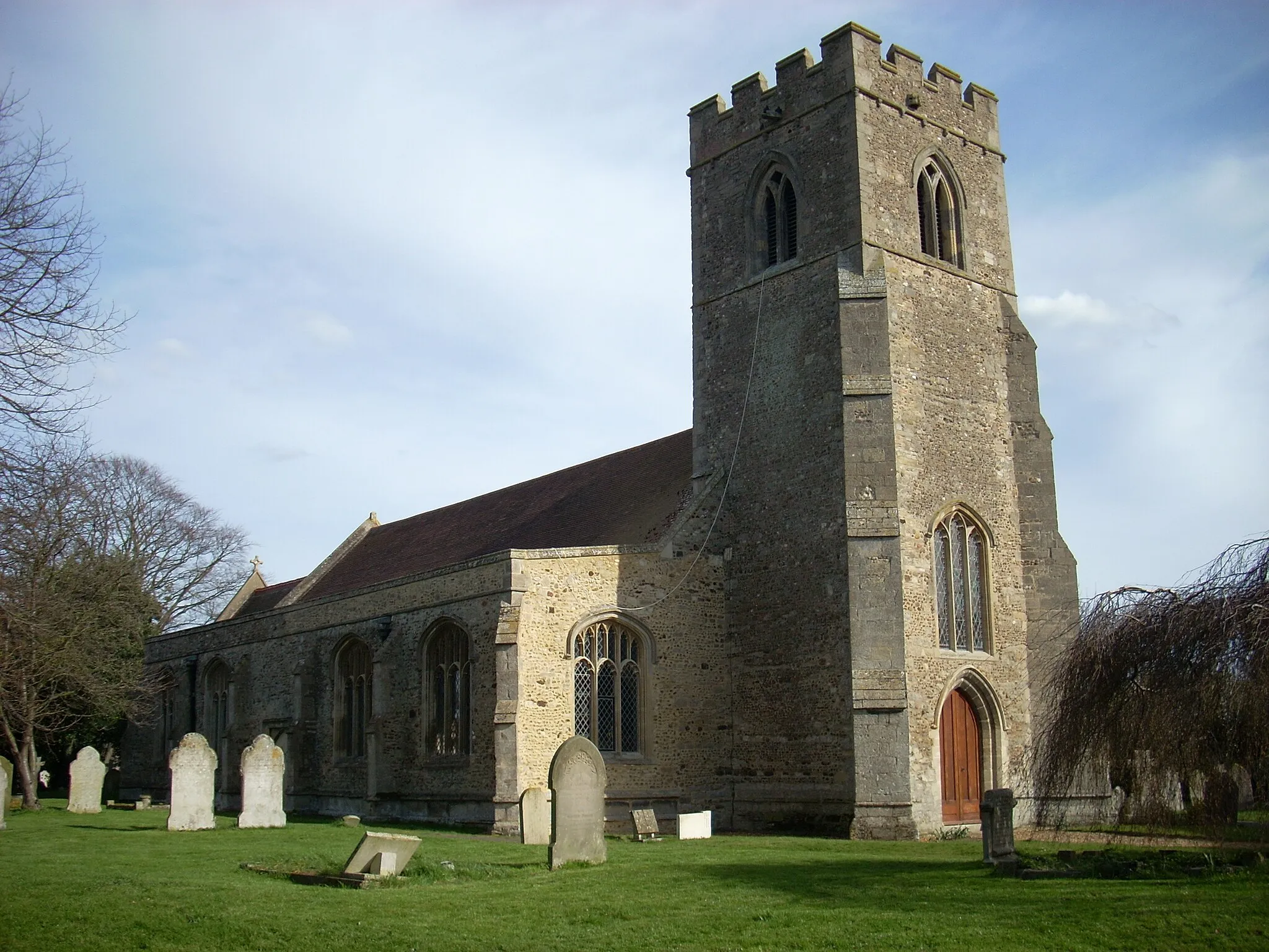
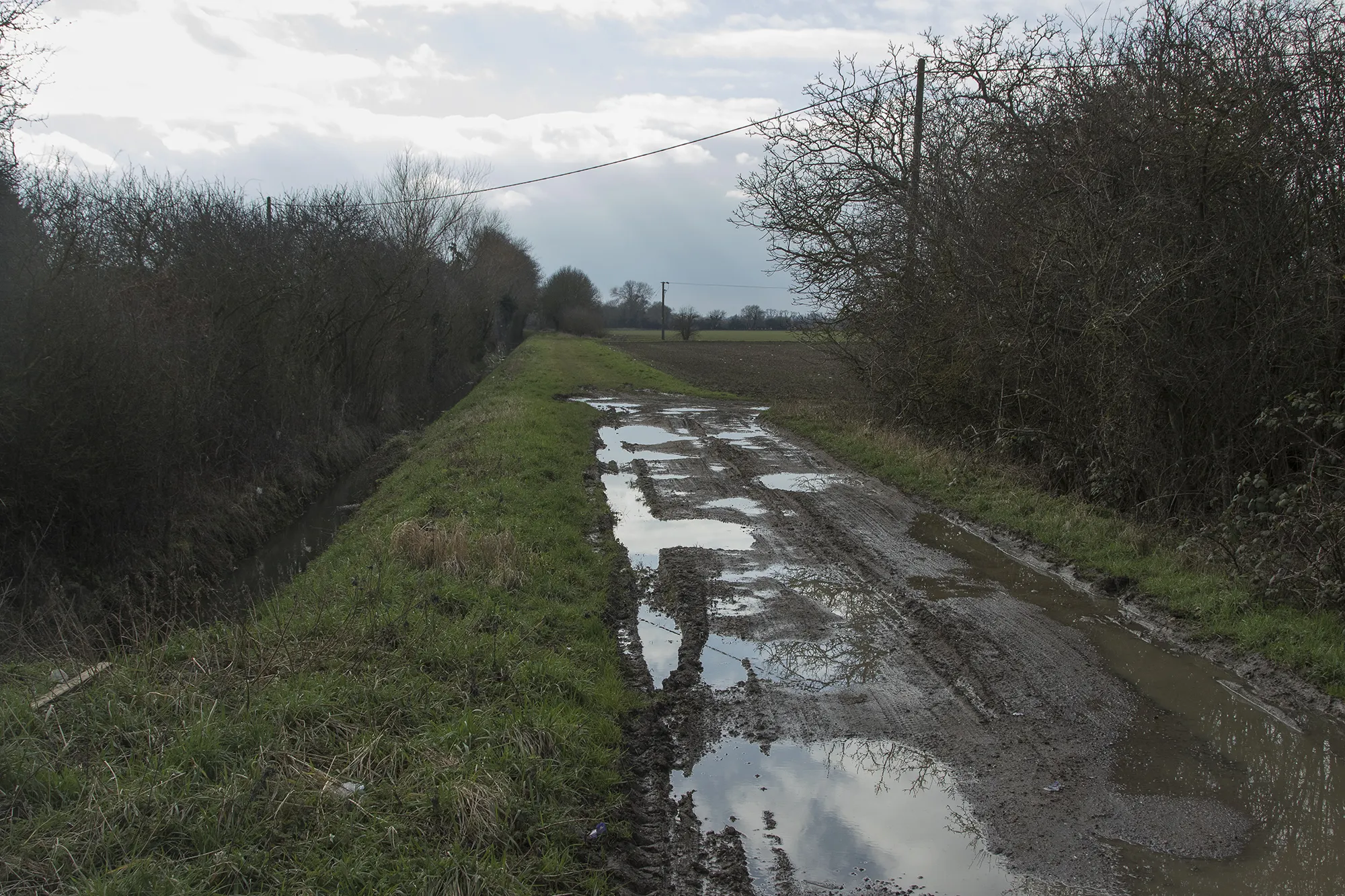
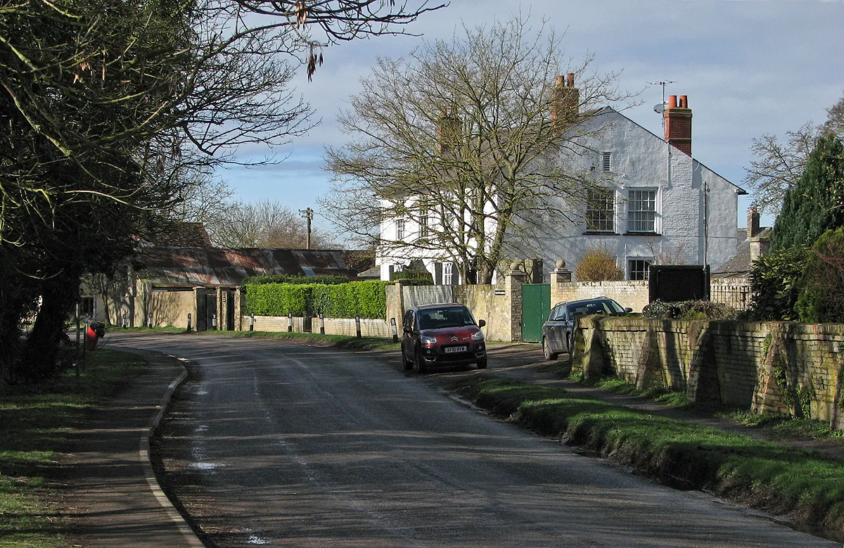
Comberton, located in East Anglia, United Kingdom, offers limited cycling options for road and gravel cyclists. While it may not have designated cycling routes or famous climbs, Comberton provides peaceful countryside views and relatively quiet roads for leisurely rides. Nearby localities in the area, such as Kelvedon, offer more extensive and enjoyable cycling experiences.
The South Cambridgeshire Circuit
Embark on a challenging ride through the scenic countryside of South Cambridgeshire.
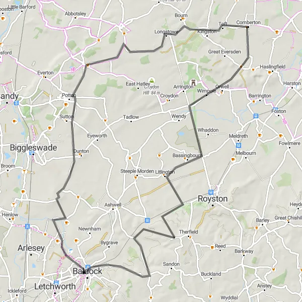
The South Cambridgeshire Circuit is a road route that covers a distance of 81 km and offers an ascent of 397 meters. This challenging route is suitable for experienced cyclists looking for a test of their skills. The highlight of this route is Stotfold, located 44 km into the ride. Here, you can enjoy the serene surroundings and take a breather before continuing your journey. With its rolling hills and picturesque landscapes, this route is sure to captivate cycling enthusiasts.
The Fenland Loop
Venture through the picturesque fenland and discover charming villages along the way.
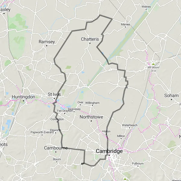
The Fenland Loop offers a scenic and rewarding cycling experience, taking you through the beautiful East Anglian countryside. With a total distance of 106 km and an ascent of 240 meters, this road route is suitable for intermediate cyclists. The highlight of this route is the village of Wimblington, located 52 km into the ride. Here, you can take a break and explore the historic charm of the Fenland region.
Experience the thrill of gravel cycling in the scenic countryside of Cambridgeshire
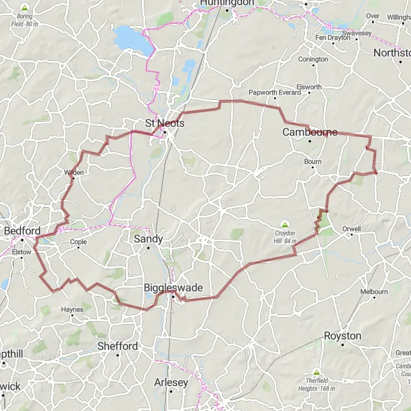
This gravel cycling route takes you through the scenic countryside of Cambridgeshire, with highlights including Claypit Hill and Papworth Everard. With a total ascent of 401 meters over a distance of 102 kilometers, this route is suitable for experienced gravel cyclists. The road surface is suitable for gravel bikes.

A scenic gravel route combining the charming village of Kingston and the tranquil beauty of Comberton
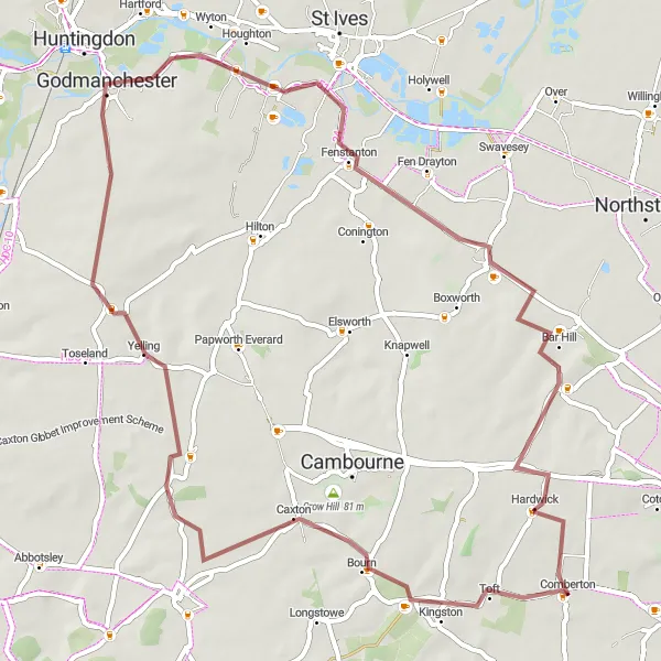
The Kingston and Comberton Gravel Ride is a delightful option for gravel cyclists looking to explore the rural landscapes near Comberton. With a distance of 46 kilometers and an ascent of 173 meters, this route offers a mix of smooth gravel paths and quiet country roads. Starting in Kingston, you'll pedal through picturesque highlights such as Crow Hill, Hilton, and finally Comberton before returning. Marvel at the natural beauty surrounding these small villages while enjoying a peaceful and refreshing ride.
A thrilling gravel ride through rural landscapes, culminating at the historic village of Hardwick
Embark on a gravel adventure through idyllic countryside on the Gravel Adventure to Hardwick route. Spanning 58 kilometers and with an ascent of 177 meters, this route is perfect for riders seeking a mix of challenging terrain and stunning scenery. Starting near Comberton, you'll encounter delightful highlights such as Caldecote, Crow Hill, Eltisley, Hemingford Grey, and Lolworth before reaching the picturesque village of Hardwick. Get ready for an exhilarating ride surrounded by nature and the charm of rural England.
A challenging road cycling route with stunning views of the Cambridgeshire countryside
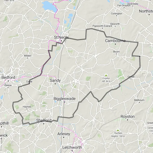
The Comberton Hills Loop is a must-do for experienced cyclists looking for a thrilling ride through picturesque landscapes. With a distance of 109 kilometers and an ascent of 322 meters, this route will test your endurance and offer rewarding views at every turn. Starting in Comberton, you'll pass through Orwell Hill, Guilden Morden, Shefford, Cardington, Great Barford, Croxton, Cambourne, and finally return to Comberton.
Explore the charming villages of Cambridgeshire on this scenic gravel cycling route
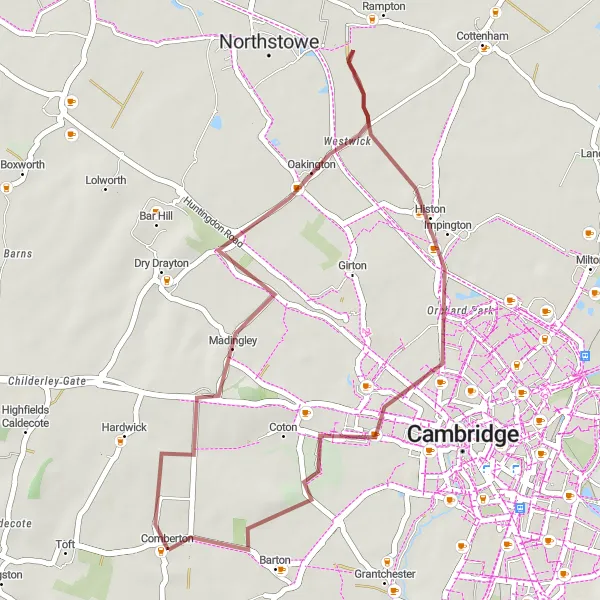
This scenic gravel cycling route takes you through the charming villages of Cambridgeshire, with highlights including Madingley and Barton. With a total ascent of 109 meters over a distance of 34 kilometers, this route is suitable for leisure cyclists. The road surface is suitable for gravel bikes.
Challenging Gravel Loop
Take on the challenge of gravel cycling on this hilly route through scenic countryside
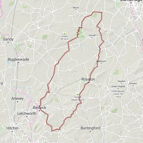
This challenging gravel cycling route takes you through the hilly countryside of Cambridgeshire, with highlights including Meldreth and Weston. With a total ascent of 528 meters over a distance of 79 kilometers, this route is suitable for experienced gravel cyclists. The road surface is suitable for gravel bikes.
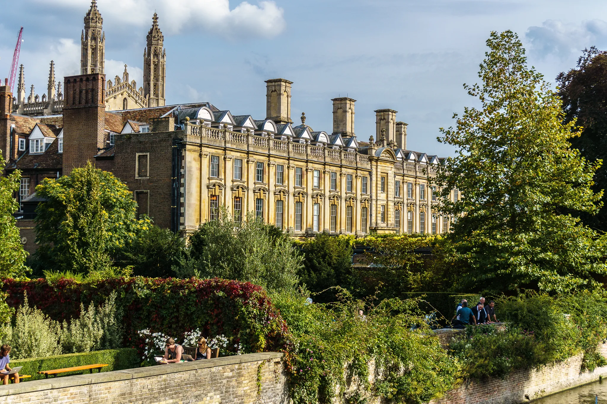
Discover the historic city of Cambridge and its surrounding villages on this road cycling tour
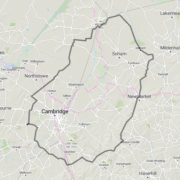
This scenic route takes you through the historic city of Cambridge and its surrounding villages, with highlights including Madingley and Ely. With a total ascent of 350 meters over a distance of 113 kilometers, this route is suitable for experienced cyclists. The road surface is suitable for road bikes.
Explore the peaks of Cambridgeshire on this challenging road cycling route
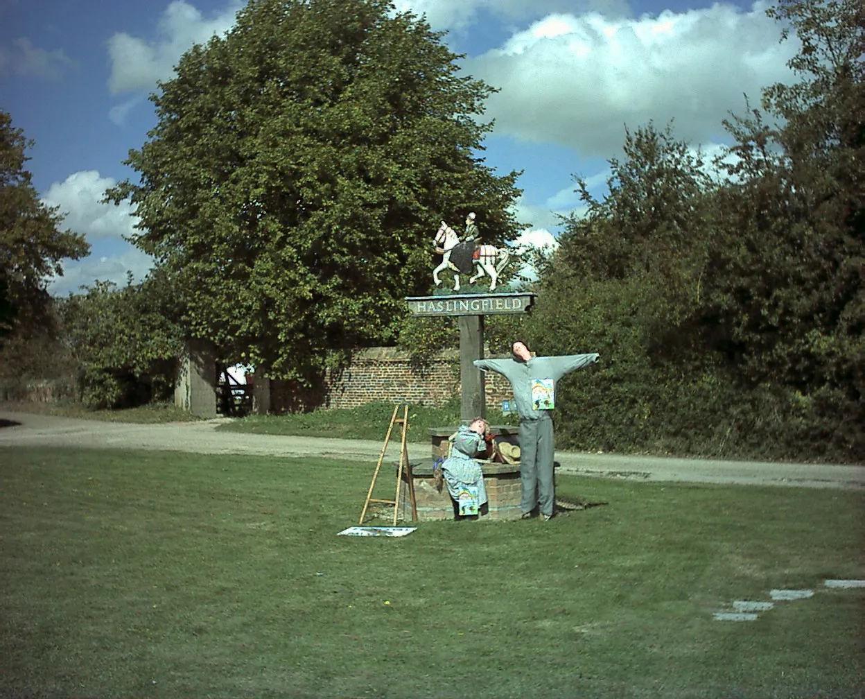
This route takes you through the rolling countryside of Cambridgeshire, with highlights including Rowley's Hill and Thornberry Hill. With a total ascent of 292 meters over a distance of 51 kilometers, this route is perfect for cyclists looking for a challenging ride. The road surface is suitable for road bikes.
Cycling routes nearby:

Nearby regions: