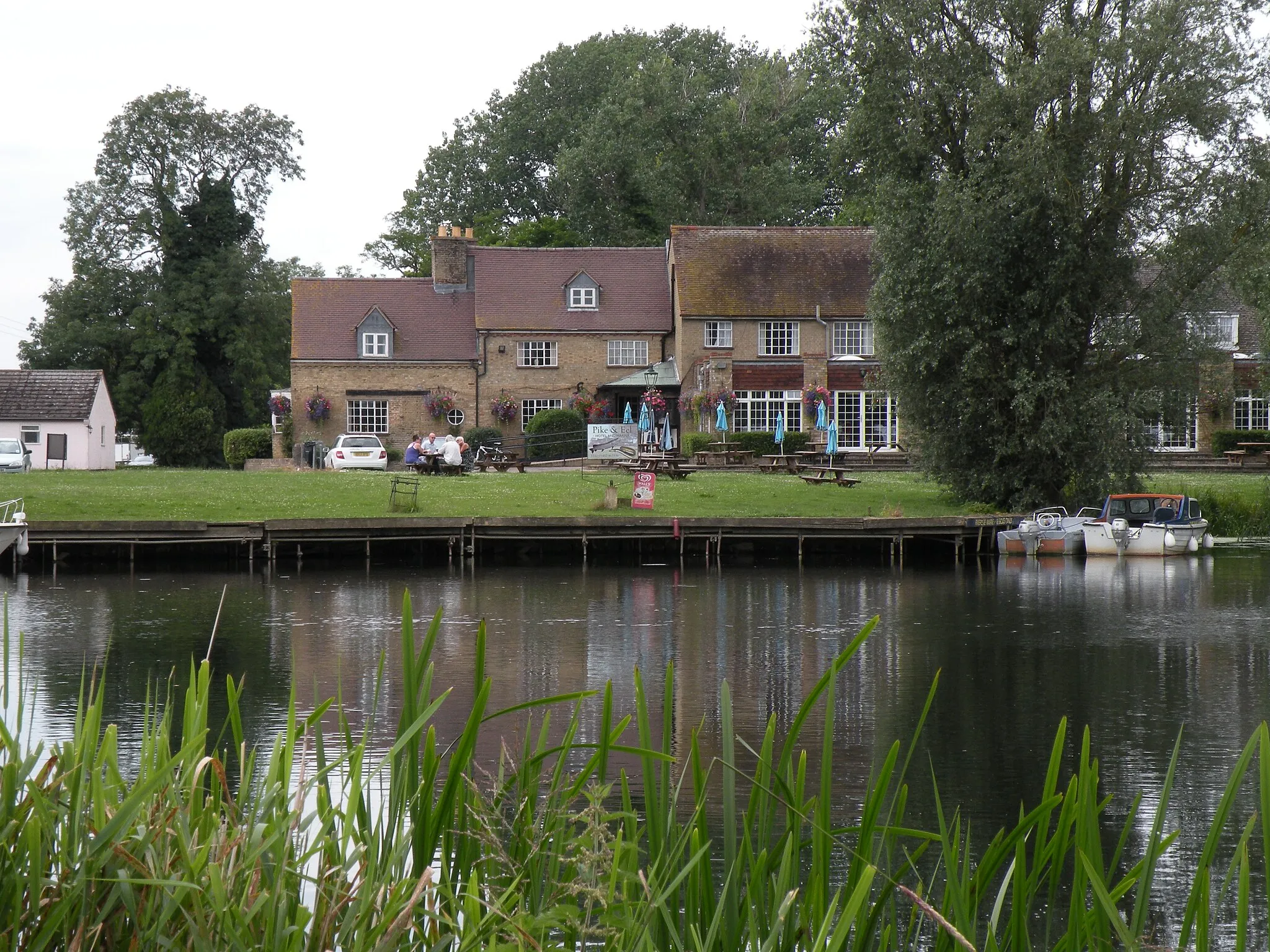
A charming town with gentle hills and picturesque countryside for leisurely cycling.
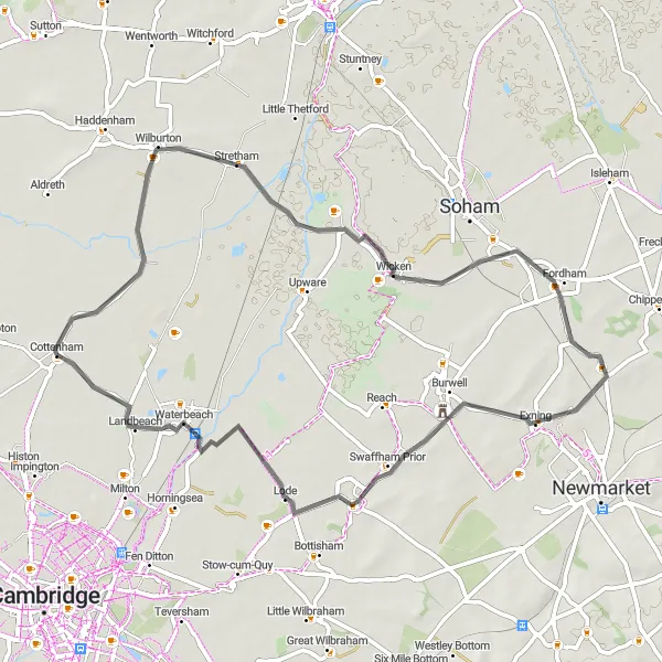
Cycling routes from Cottenham
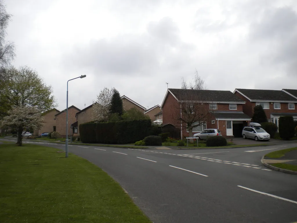
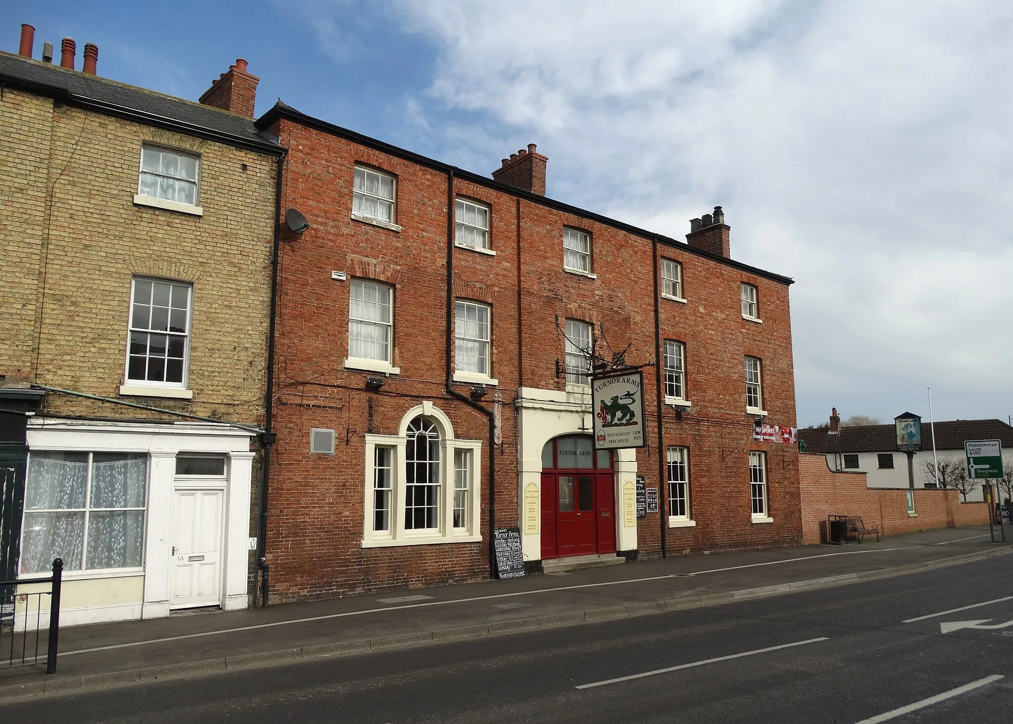
Cottenham is a small town located in East Anglia, United Kingdom. From a cyclist's perspective, Cottenham offers scenic routes with some gentle hills and countryside landscapes. It is a suitable locality for road and gravel cyclists who enjoy leisurely rides and exploring rural areas. The nearby region of East Anglia is known for its flat terrain, which is perfect for beginners or those looking for an easier ride. However, there are no famous cycling spots or well-known climbs in close proximity to Cottenham.
Experience the beauty of Cambridge and its surrounding countryside
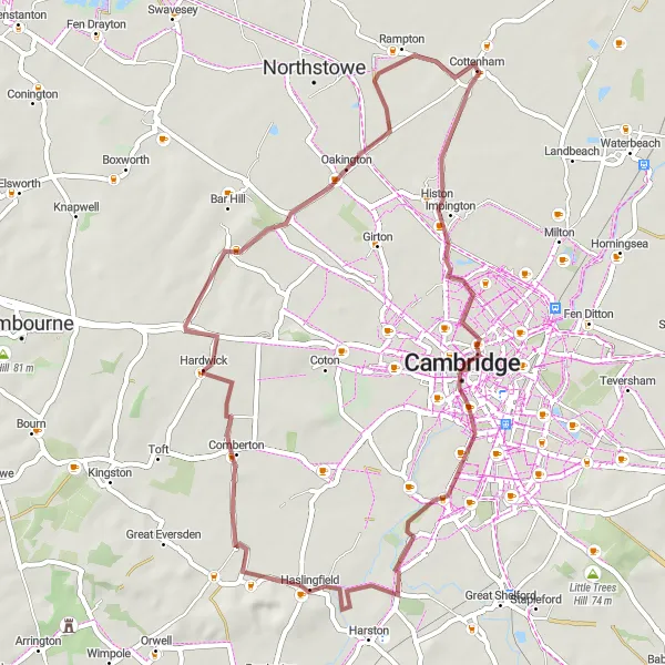
Cambridge Explorer takes you on a gravel adventure through the charming city of Cambridge and its picturesque surroundings. With a distance of 48km and an ascent of 83m, this route offers a relaxed exploration suitable for all skill levels. Highlights along the way include the historic Kitchen Bridge and the scenic village of Hardwick, offering ample opportunities to discover the region's natural beauty.
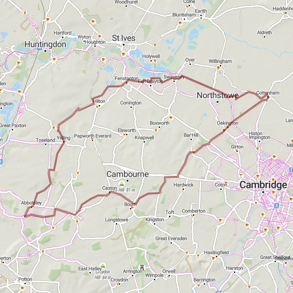
Rural Escape
Immerse yourself in the rural beauty of Cambridgeshire
Uncover the rustic charm of Cambridgeshire with Rural Escape, a gravel cycling route that showcases the region's scenic landscapes and peaceful villages. Covering a distance of 63km and a moderate ascent of 153m, this route offers a pleasant challenge suitable for experienced amateur cyclists. Little Gransden, a picturesque village steeped in history, and Swavesey, known for its beautiful countryside views, are some of the highlights along the way.
Meridian Borders
Discover the charming villages along the Cambridgeshire-Essex border
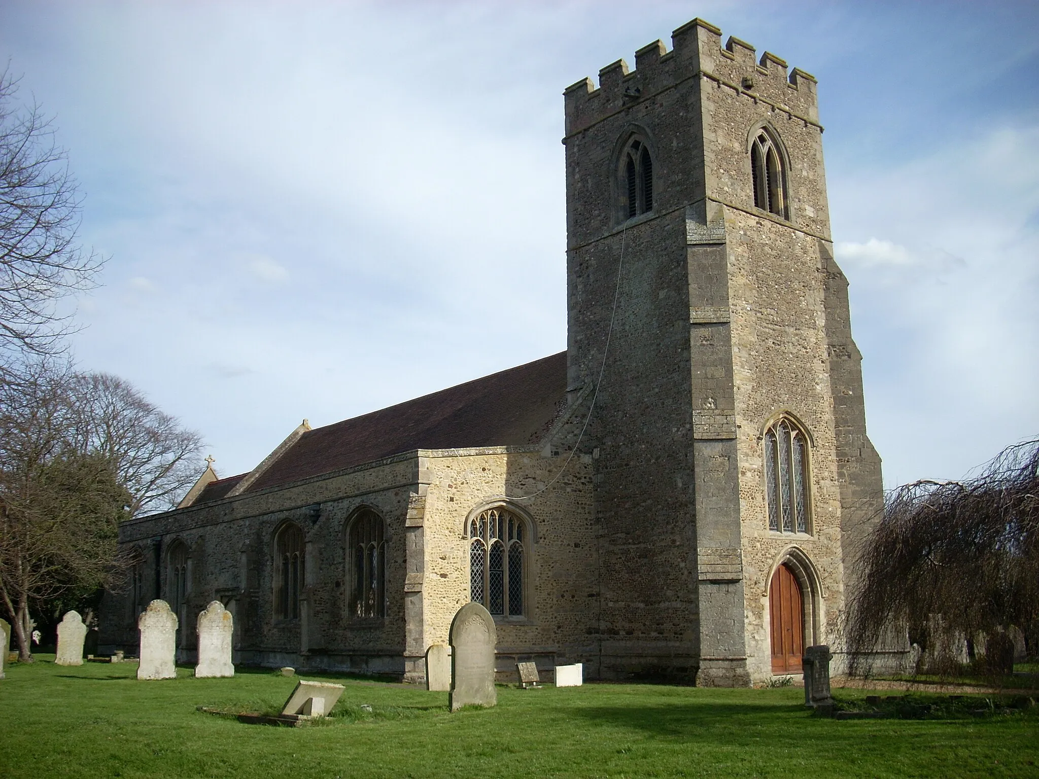
Meridian Borders takes you on a picturesque route through the delightful Cambridgeshire countryside, crossing over the historic Meridian line. With a total distance of 97km and an ascent of 379m, this road cycling route is suitable for well-trained amateur riders. Enjoy highlights such as Stretham, with its quaint village green and traditional English pub, and Signal Hill, offering stunning panoramic views of the surrounding countryside.
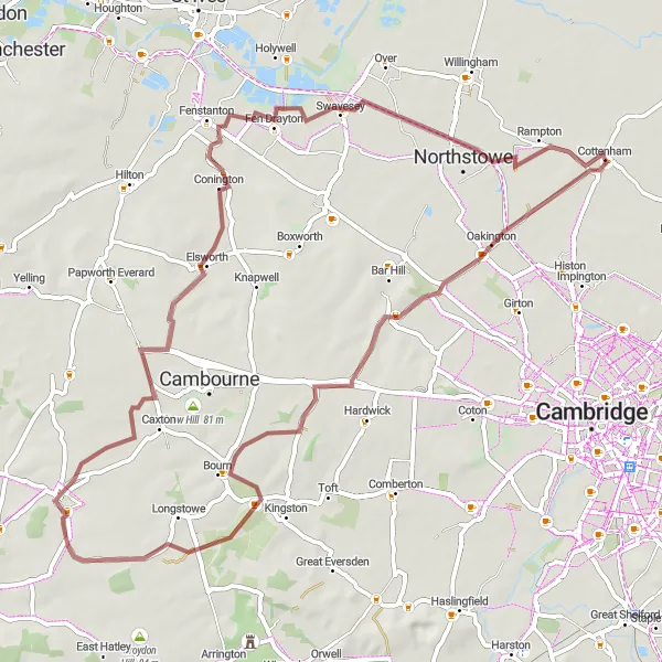
An exciting off-road gravel route with multiple highlights to discover.
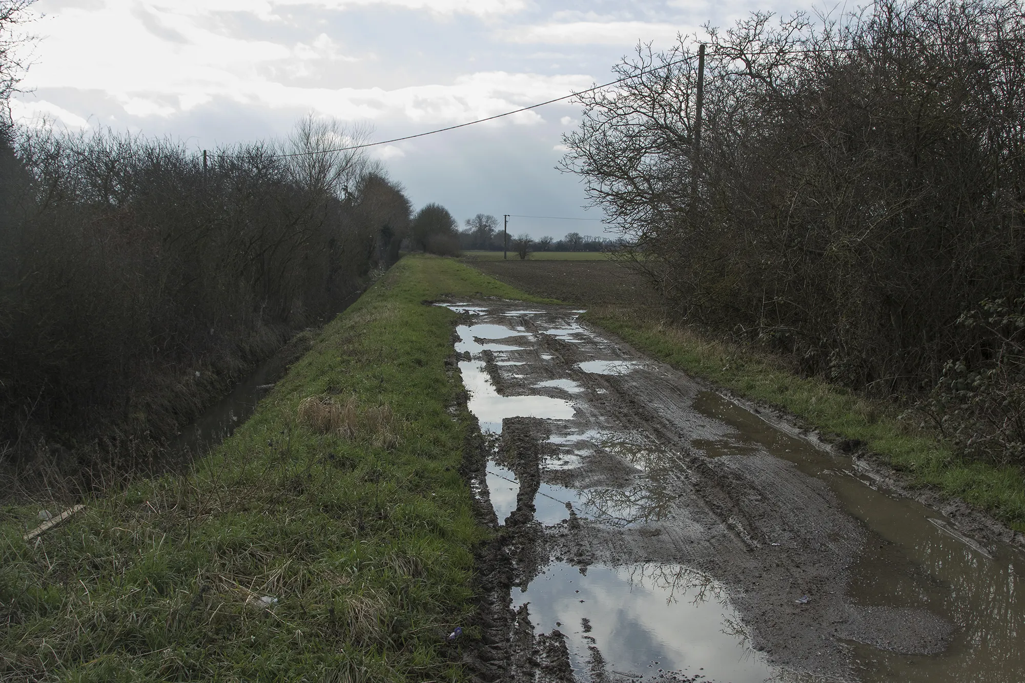
The Gravel Adventure around Cottenham is a thrilling off-road cycling route that spans 67 kilometers and includes an ascent of 194 meters. Suitable for gravel bikes, this route offers an exhilarating ride through varied terrain. Cyclists will encounter scenic hills, picturesque villages, and stunning panoramic views. The route is dotted with multiple highlights, providing opportunities for riders to explore interesting landmarks and beautiful natural surroundings. The highlights include Crow Hill, Caxton, Abbotsley, Fenstanton, Swavesey, and Rampton. Each highlight offers its own unique charm and attracts cyclists with its captivating beauty.
Cottenham Kitchen Bridge Loop
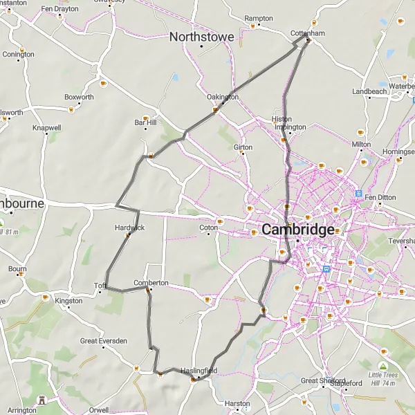
A picturesque road cycling route with a charming highlight at Kitchen Bridge.
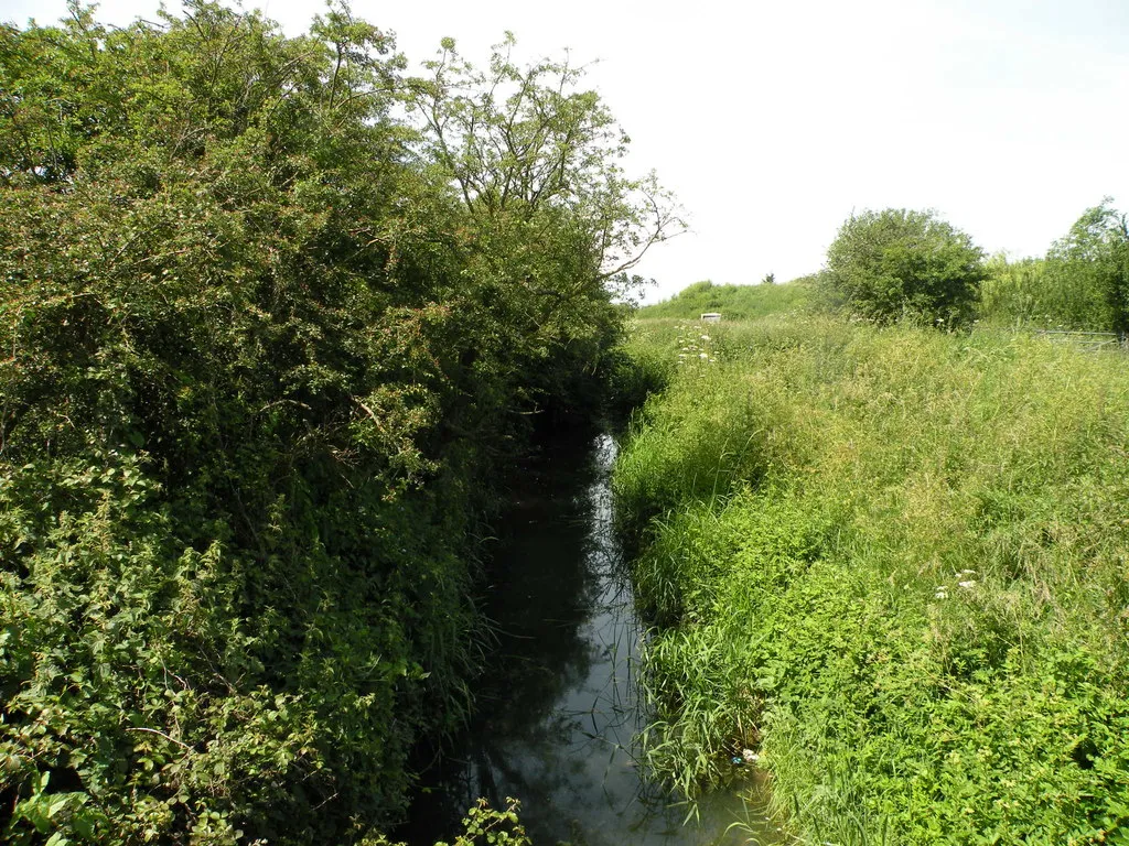
The Cottenham Kitchen Bridge Loop is a scenic road cycling route that takes you through picturesque countryside and charming villages. With a total distance of 45 kilometers and an ascent of 106 meters, this route is suitable for cyclists of all levels. It offers a peaceful and enjoyable ride, surrounded by tranquil landscapes and beautiful scenery. The highlight of the route is the picturesque Kitchen Bridge, located at a distance of 9 kilometers. This historic landmark provides a perfect spot to take a break and admire the natural beauty of the area.
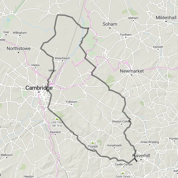
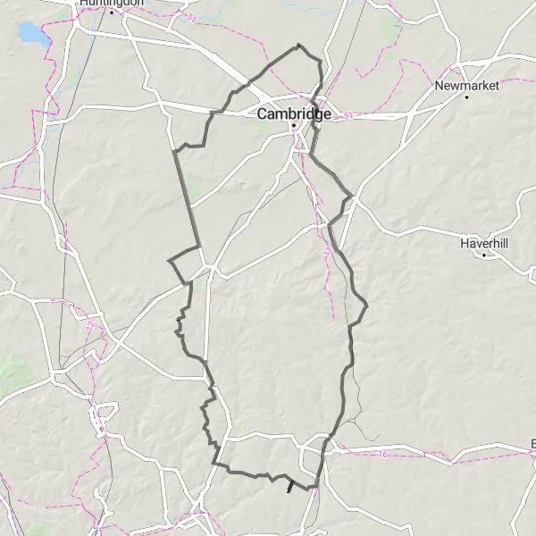
Follow in the footsteps of famous historical figures
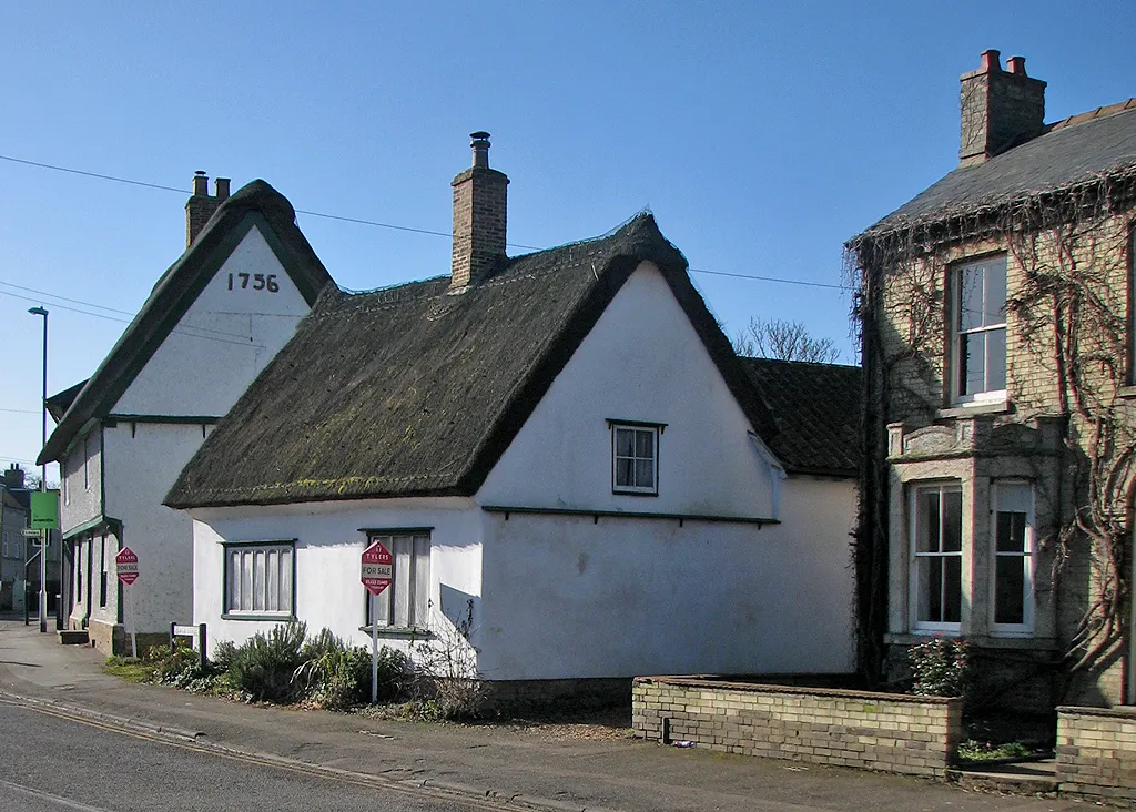
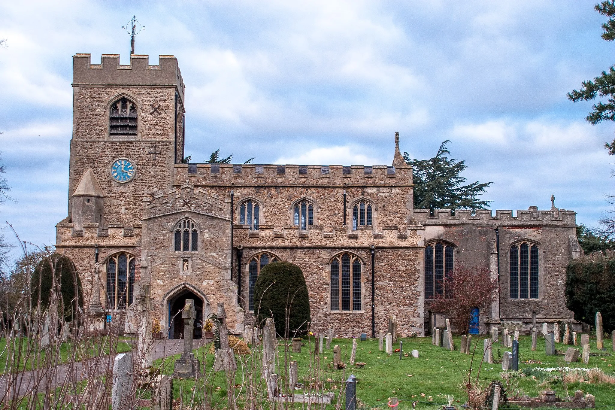
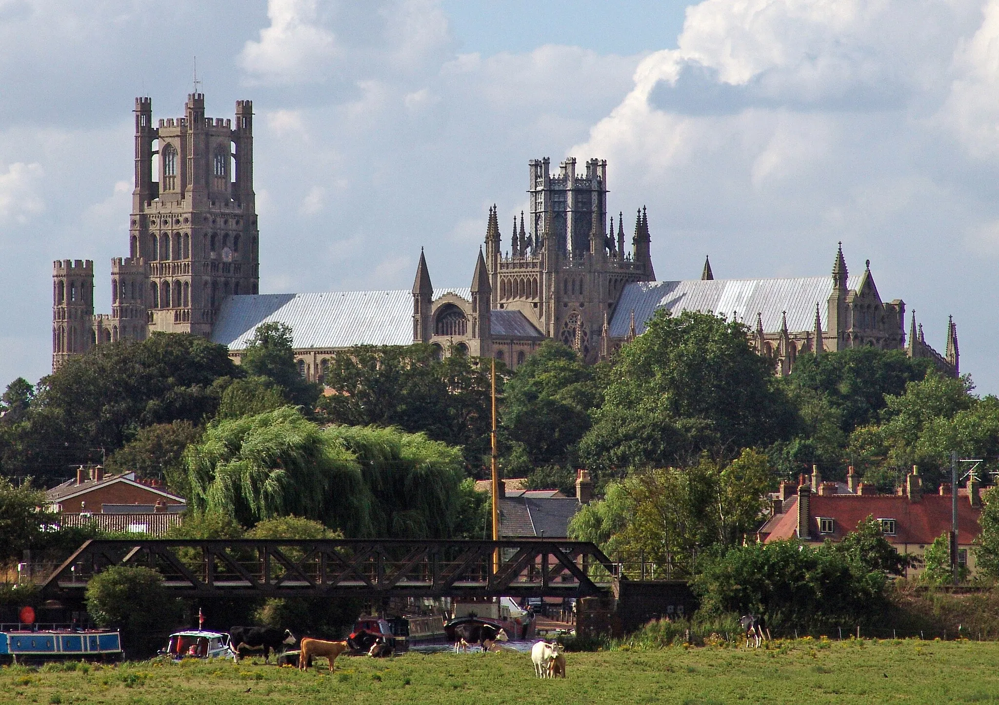
Embark on a road cycling adventure with Heritage Trail, a route that allows you to journey through history and witness the architectural wonders of Cambridgeshire. Covering a distance of 93km and an ascent of 119m, this route is suitable for well-trained amateur riders seeking to explore the region's rich heritage. Oliver Cromwell's House in Ely and the scenic village of Waterbeach are among the highlights along the way.
An exhilarating road cycling route with challenging climbs and stunning views.
The Cottenham Hill Climbing Challenge is an epic road cycling route that spans 145 kilometers and boasts an impressive ascent of 693 meters. This route caters to experienced cyclists looking for a challenging adventure with rewarding views. Cyclists will tackle several steep climbs, including the notorious Fox Hill and spellbinding Fireball Hill, offering a real test of endurance and strength. Saffron Walden, Spellbrook, Green Tye, Cherry Green, Church Hill, Litlington, and Caldecote are some of the highlights that add to the allure of this route. Saffron Walden is a historic market town famous for its stunning medieval architecture. Spellbrook is a picturesque village surrounded by lush green fields, and Green Tye is a hidden gem known for its scenic beauty. Cherry Green offers panoramic views of the countryside, Church Hill provides a challenging climb with rewarding vistas, and Litlington immerses cyclists in idyllic charm. Finally, Caldecote adds a touch of tranquility with its peaceful surroundings.
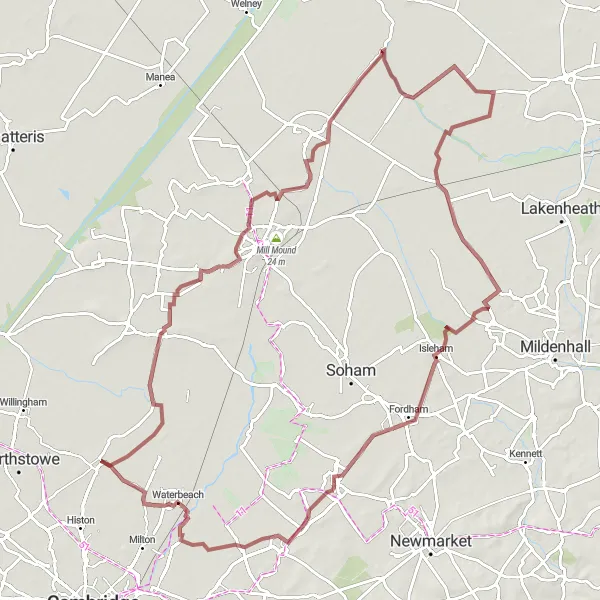
An adventurous gravel trail that takes you through the hidden gems near Cottenham.
The Explore Cottenham Gravel Trails route spans 100 kilometers and features an ascent of 135 meters, offering an exciting adventure to gravel cycling enthusiasts. This off-road route takes riders through hidden gems near Cottenham, providing a chance to discover lesser-known areas of natural beauty. Wilburton, Chettisham, Brandon Bank, Kenny Hill, Swaffham Prior, and Waterbeach are some of the highlights on this trail. Each highlight offers a unique blend of scenic landscapes, historical landmarks, and peaceful surroundings. Wilburton is a peaceful village with stunning countryside views, while Chettisham offers picturesque riverside scenery. Brandon Bank is known for its scenic fenland landscapes, and Kenny Hill, Swaffham Prior provides panoramic views of the surroundings. Waterbeach, with its historic bridge and riverside charm, adds a touch of nostalgia to the route.
Cottenham Countryside Ride
A scenic road cycling route through the picturesque countryside near Cottenham.
The Cottenham Countryside Ride is a delightful road cycling route that spans 57 kilometers with an ascent of 95 meters. This route takes cyclists through the beautiful and picturesque countryside near Cottenham, offering stunning vistas and peaceful surroundings. Highlights along the route include Stretham, Snailwell, Lode, and Waterbeach. Each of these highlights offers its own unique charm and provides riders with a chance to appreciate the natural beauty of the area. Stretham is a quaint village with traditional cottages and a welcoming atmosphere. Snailwell is a peaceful hamlet surrounded by scenic landscapes, while Lode features a beautiful village church and the renowned Anglesey Abbey. Waterbeach is a charming village with riverside views and a historic bridge.
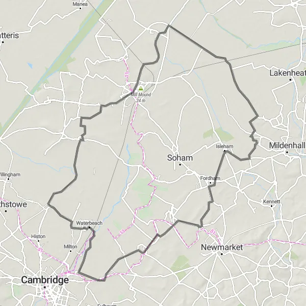
Gravel Discovery

Embark on a gravel adventure through the enchanting countryside
Gravel Discovery is a scenic cycling route that takes you through picturesque landscapes and charming villages in the vicinity of Cottenham. With a distance of 68km and an ascent of 189m, this gravel route offers a moderate challenge suitable for well-trained amateur riders. Highlights include Kitchen Bridge, an idyllic spot for a break, and Thornberry Hill, which rewards cyclists with stunning views of the surrounding countryside.
Cycling routes nearby:

Nearby regions: