![Cover image](https://images.tarmacs.app/cycling-routes/covers/united-kingdom/east-anglia/gamlingay-4.webp)
Discover the scenic roads of Gamlingay on a delightful cycling adventure!
Cycling routes from Gamlingay
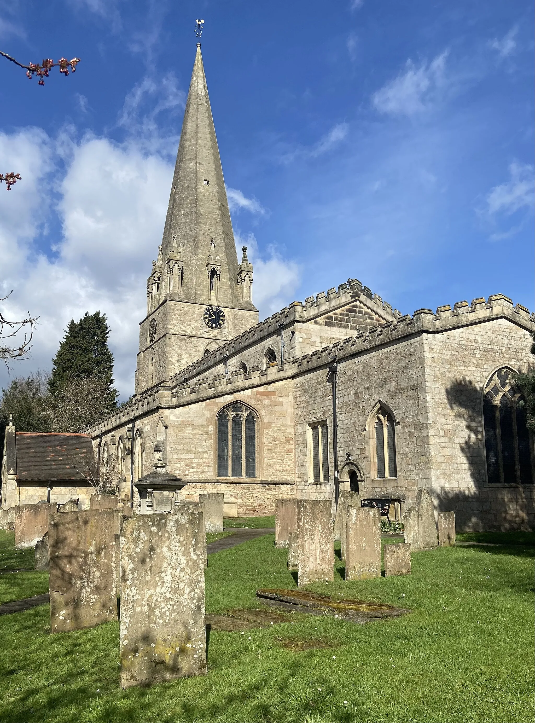
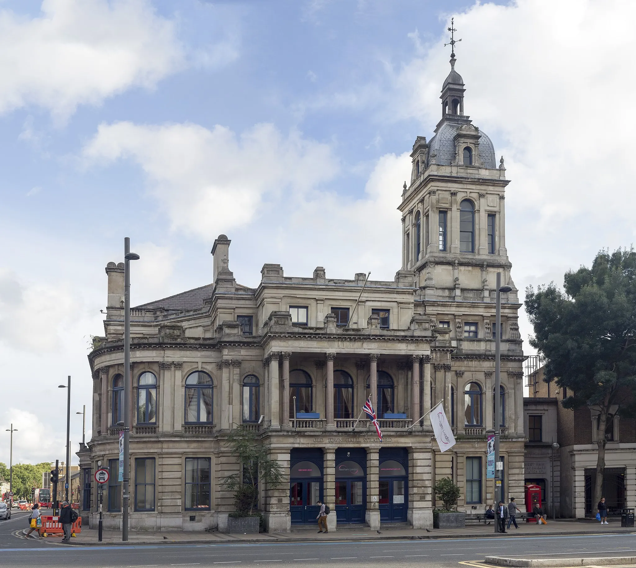
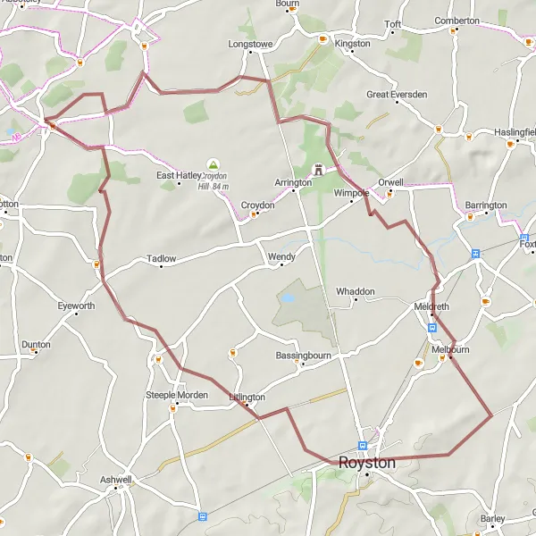
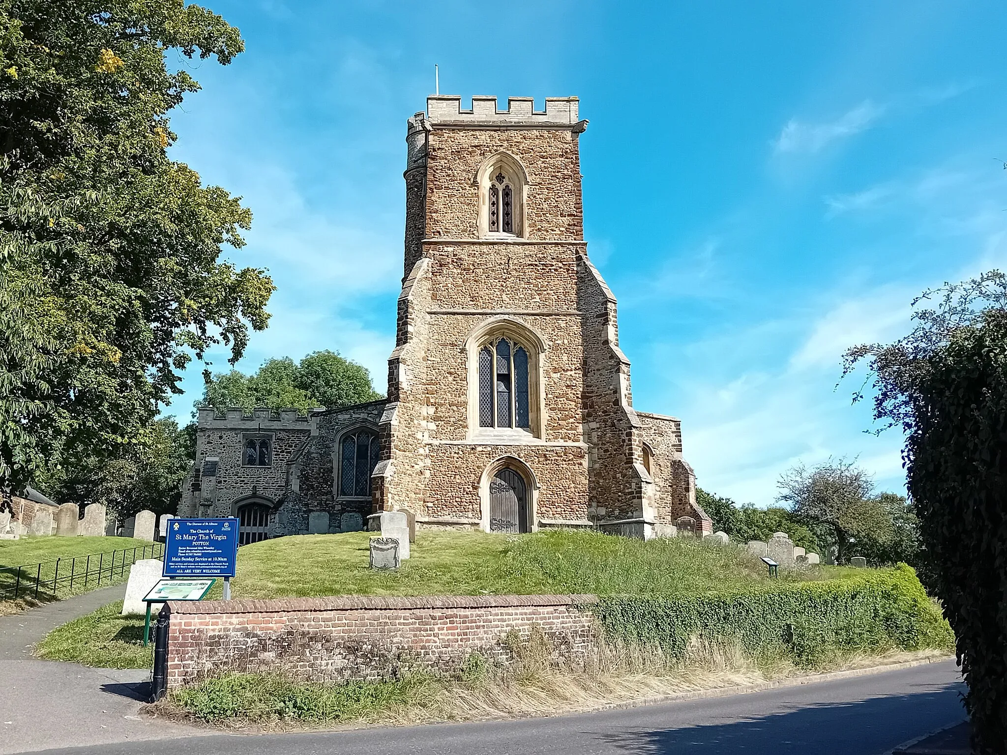
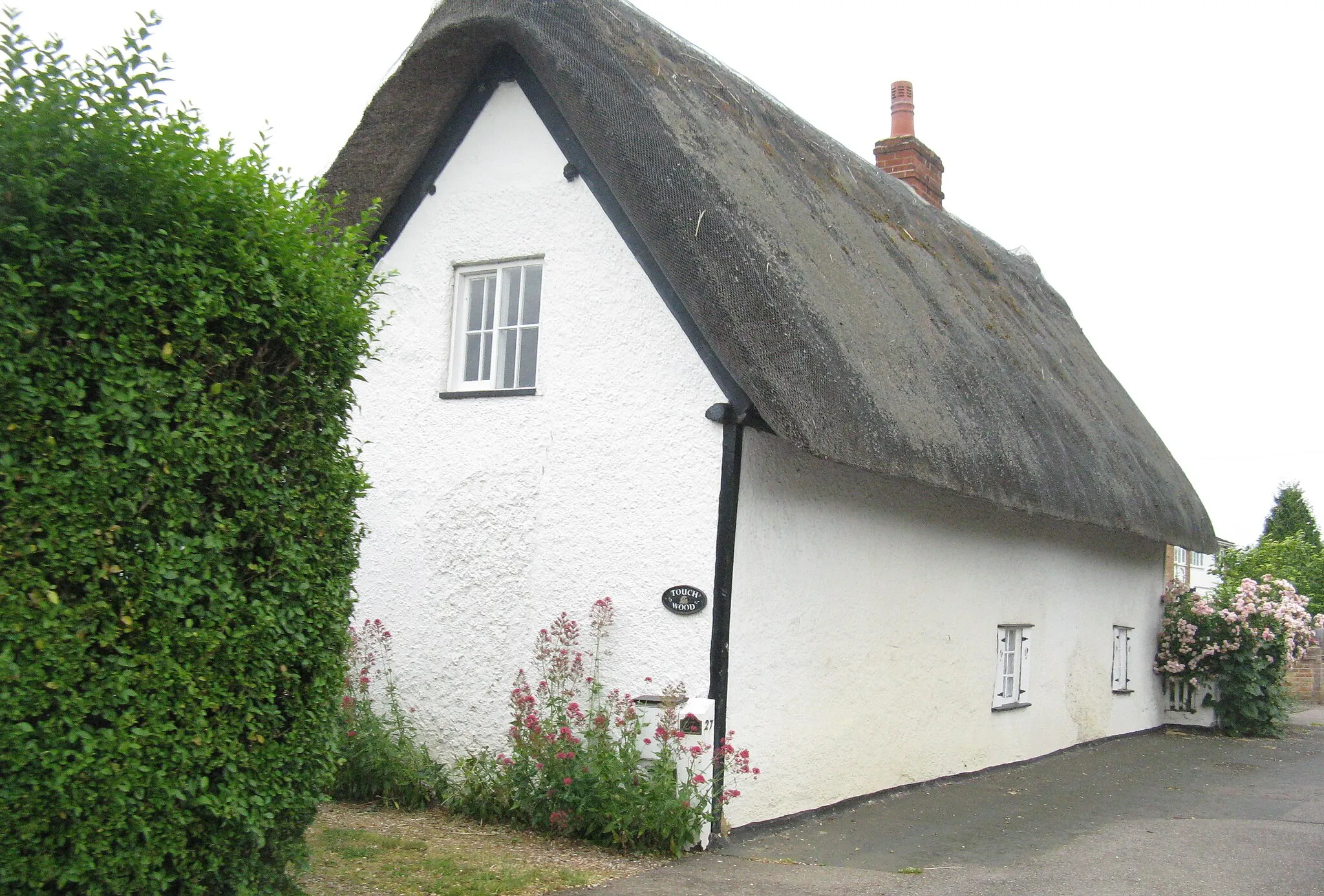
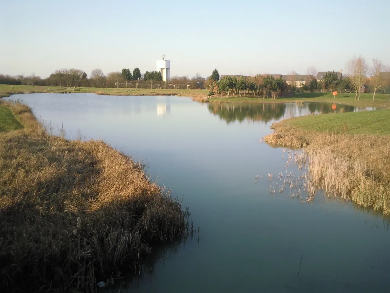
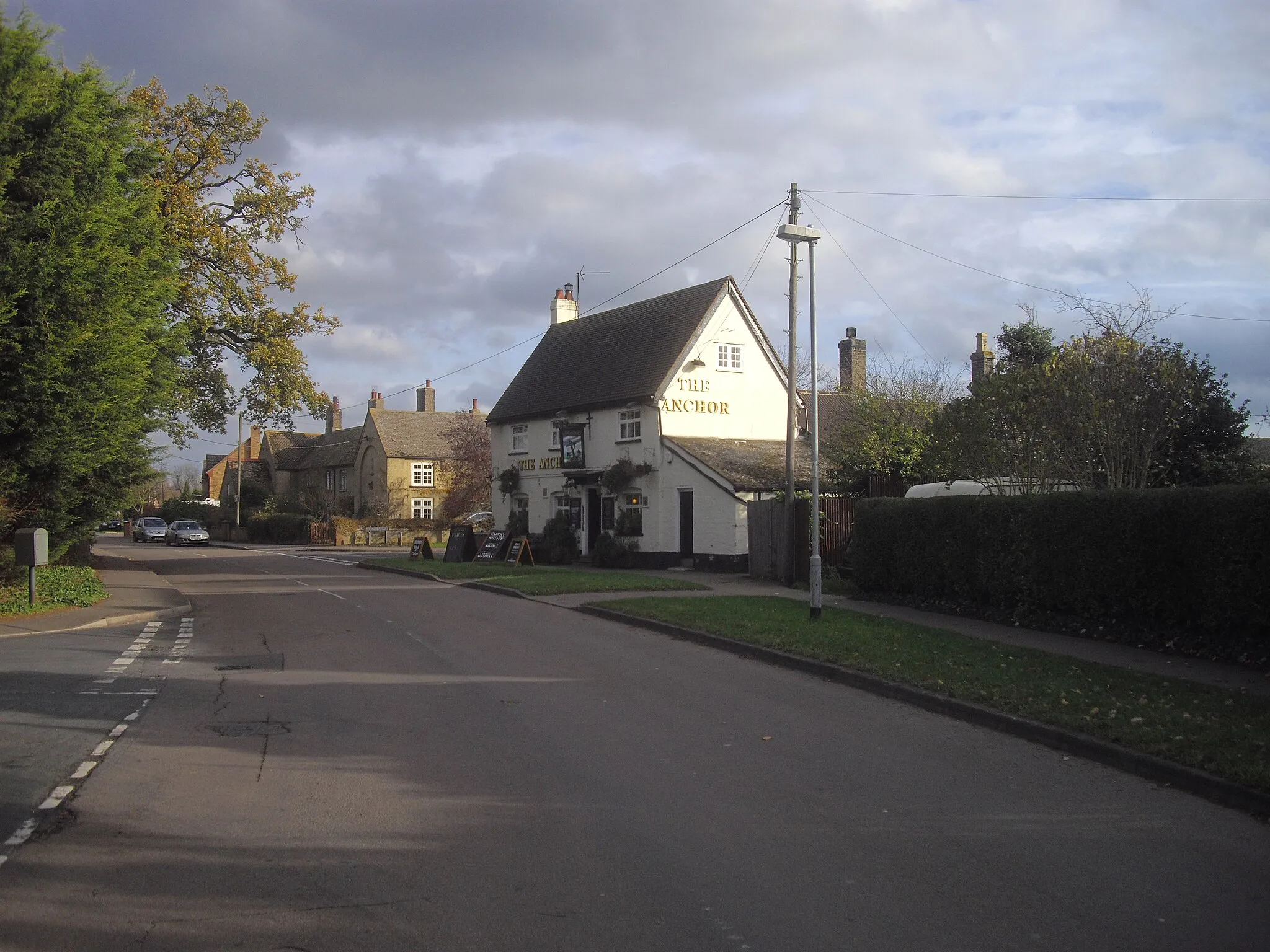
Gamlingay, located in East Anglia, United Kingdom, is a great locality for road and gravel cycling. The area offers scenic countryside routes with minimal traffic, allowing cyclists to enjoy peaceful rides. Gamlingay is known for its picturesque landscapes and charming villages along the way, making it a popular destination for cycling enthusiasts and tourists alike. The highlight for cyclists in this region is the challenging climb up Wimpole Road, which is a favorite among locals. With its cyclist-friendly infrastructure and stunning natural beauty, Gamlingay is a must-visit for any cyclist.
![Map miniature of "Gamlingay Gravel Adventure" cycling inspiration in East Anglia, United Kingdom. Generated by Tarmacs.app cycling route planner](https://images.tarmacs.app/cycling-routes/routemaps/600/united-kingdom/east-anglia/gamlingay/gravel/65046.webp)
Explore the gravel roads and rolling hills around Gamlingay
This off-road route takes you through idyllic Cambridgeshire villages, scenic countryside, and challenging terrain. With a total ascent of 234 meters and a distance of 50 kilometers, this route is perfect for gravel enthusiasts looking for a fun challenge. You'll encounter charming highlights along the way, including Little Gransden, Crow Hill, Little Eversden, Orwell Hill, Thornberry Hill, and Gamlingay.
![Map miniature of "Cambridgeshire Countryside Delight" cycling inspiration in East Anglia, United Kingdom. Generated by Tarmacs.app cycling route planner](https://images.tarmacs.app/cycling-routes/routemaps/600/united-kingdom/east-anglia/gamlingay/road/65068.webp)
Immerse yourself in the beauty of the Cambridgeshire countryside
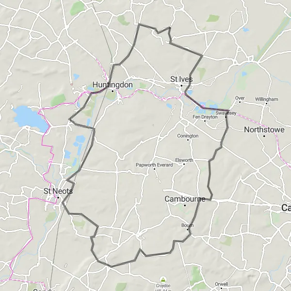
Discover the hidden treasures of the Cambridgeshire countryside on this scenic road cycling route. With a total distance of 86km and an ascent of 308m, this route offers a moderate challenge for experienced cyclists. Ride through charming villages, picturesque landscapes, and soak in the tranquility of the countryside. From Great Paxton to Swavesey, this route promises awe-inspiring views and a true sense of rural charm.
Gamlingay Gravel Escape
![Map miniature of "Gamlingay Gravel Escape" cycling inspiration in East Anglia, United Kingdom. Generated by Tarmacs.app cycling route planner](https://images.tarmacs.app/cycling-routes/routemaps/600/united-kingdom/east-anglia/gamlingay/gravel/65037.webp)
Embark on an exciting gravel adventure near Gamlingay
Get ready for an exhilarating off-road journey through scenic landscapes and charming villages. This 51-kilometer gravel route has an ascent of 212 meters, making it suitable for intermediate riders looking to explore the East Anglian countryside. Highlights along the way include Guilden Morden, Stotfold, Langford, and finally, Gamlingay.
![Map miniature of "The Gamlingay Gravel Adventure" cycling inspiration in East Anglia, United Kingdom. Generated by Tarmacs.app cycling route planner](https://images.tarmacs.app/cycling-routes/routemaps/600/united-kingdom/east-anglia/gamlingay/gravel/130838.webp)
Discover the hidden gems of East Anglia on this exciting gravel route.
Embark on a 72 km journey starting from Gamlingay and explore the scenic countryside of East Anglia. This route offers a perfect mix of challenging terrains, breathtaking views, and charming towns and villages. Be prepared for some moderate climbing as you ride through Crow Hill and Rowley's Hill. Don't miss the opportunity to visit vibrant Cambridge and explore its historic landmarks. The Gamlingay Gravel Adventure provides an unforgettable cycling experience for gravel enthusiasts looking for an off-road adventure in the heart of East Anglia.
![Map miniature of "Gamlingay to Tetworth via Sandy, Bedford, Ravensden, and Eaton Socon" cycling inspiration in East Anglia, United Kingdom. Generated by Tarmacs.app cycling route planner](https://images.tarmacs.app/cycling-routes/routemaps/600/united-kingdom/east-anglia/gamlingay/road/130627.webp)
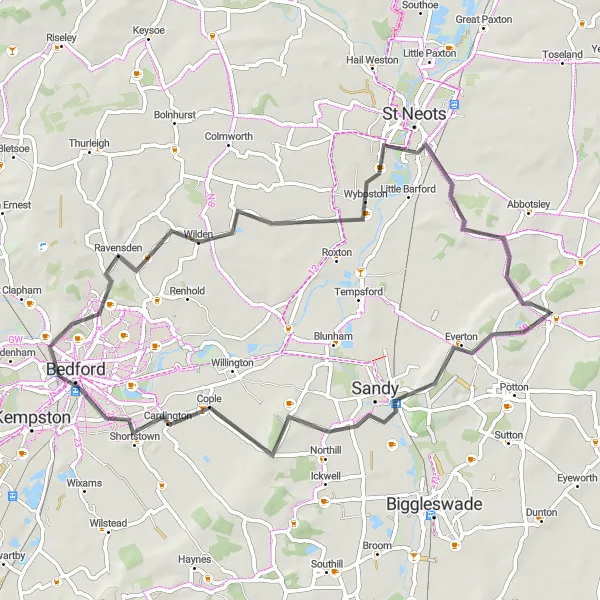
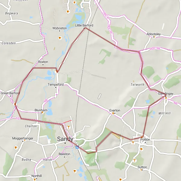
Discover the charming towns of Sandy, Bedford, Ravensden, and Eaton Socon on this scenic road cycling route from Gamlingay to Tetworth.
This road cycling route takes you through picturesque countryside and visits several historic towns along the way. Enjoy a challenging ride with beautiful views and opportunities to explore charming villages.
![Map miniature of "Gamlingay Gravel Loop" cycling inspiration in East Anglia, United Kingdom. Generated by Tarmacs.app cycling route planner](https://images.tarmacs.app/cycling-routes/routemaps/600/united-kingdom/east-anglia/gamlingay/gravel/65044.webp)
Embark on a thrilling gravel adventure near Gamlingay
Experience the thrill of off-road cycling on this 33km gravel loop around Gamlingay. With a moderate difficulty level, this route offers a scenic and challenging ride for gravel enthusiasts. Ride through picturesque countryside landscapes, tackle exciting gravel sections, and explore the charming village of Gamlingay. This route is perfect for riders looking to test their skills and enjoy the beauty of the Cambridgeshire countryside.
![Map miniature of "Ultimate Bedfordshire Challenge" cycling inspiration in East Anglia, United Kingdom. Generated by Tarmacs.app cycling route planner](https://images.tarmacs.app/cycling-routes/routemaps/600/united-kingdom/east-anglia/gamlingay/road/65049.webp)
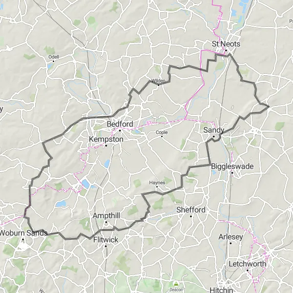
Embark on a journey through the challenging hills of Bedfordshire
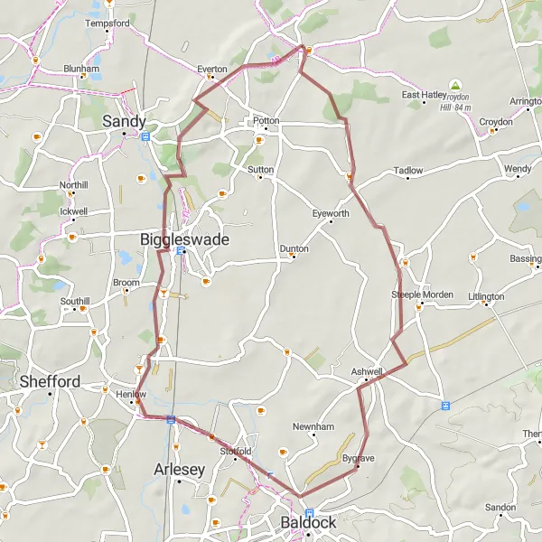
This epic road cycling route stretches over 106 kilometers with a demanding ascent of 546 meters. If you're a seasoned cyclist looking for a challenge, this is the route for you. Highlights along the way include Sandy, Clophill, Ridgmont, Stagsden, Brickhill, Eaton Socon, and finally, Gamlingay.
![Map miniature of "Cambridge Countryside Loop" cycling inspiration in East Anglia, United Kingdom. Generated by Tarmacs.app cycling route planner](https://images.tarmacs.app/cycling-routes/routemaps/600/united-kingdom/east-anglia/gamlingay/road/65034.webp)
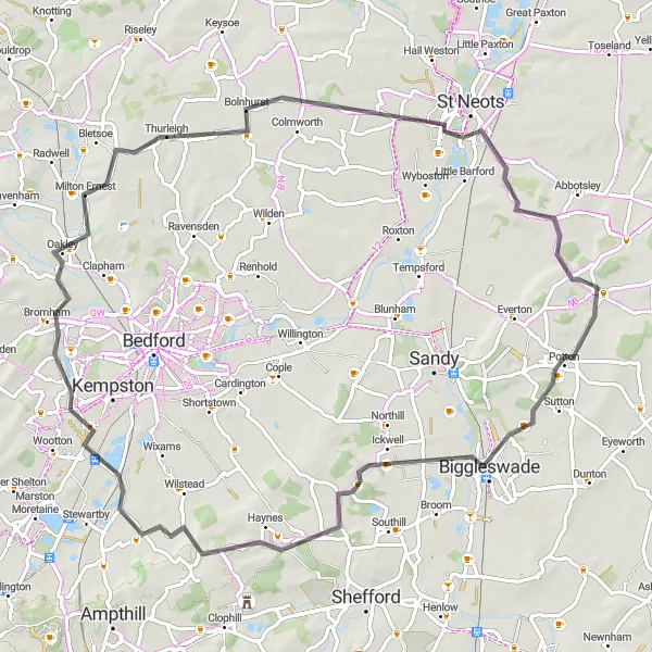
Discover the captivating countryside around Cambridge
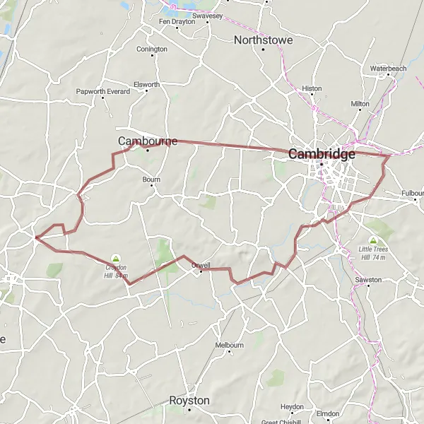
This road cycling route takes you on a stunning 78-kilometer loop through the Cambridgeshire countryside. With a challenging ascent of 360 meters, this route is perfect for experienced cyclists seeking a scenic and rewarding adventure. Highlights include Potton, Houghton Conquest, Oakley, and Tetworth.
![Map miniature of "Gamlingay to Great Barford via Dunton, Shillington, Clophill, and Gamlingay" cycling inspiration in East Anglia, United Kingdom. Generated by Tarmacs.app cycling route planner](https://images.tarmacs.app/cycling-routes/routemaps/600/united-kingdom/east-anglia/gamlingay/road/130618.webp)
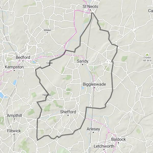
Embark on a beautiful road cycling route from Gamlingay to Great Barford, passing through Dunton, Shillington, and Clophill.
This scenic route offers a mix of challenging climbs and peaceful countryside stretches. Enjoy the picturesque views and explore the charming villages along the way.
The Gravel Explorer
![Map miniature of "The Gravel Explorer" cycling inspiration in East Anglia, United Kingdom. Generated by Tarmacs.app cycling route planner](https://images.tarmacs.app/cycling-routes/routemaps/600/united-kingdom/east-anglia/gamlingay/gravel/65039.webp)
Embark on a gravel cycling adventure through scenic Cambridgeshire
Enter the world of gravel cycling on this 54km route that takes you through the scenic countryside near Gamlingay. With an ascent of 213m, this moderately challenging route offers a mix of gravel paths, stunning landscapes, and charming villages. From Longstowe to Wrestlingworth, explore the hidden gems of the region and experience the thrill of off-road cycling in an idyllic setting.
Cycling routes nearby:
![Image of Potton](https://images.tarmacs.app/cycling-routes/covers/united-kingdom/bedfordshire-and-hertfordshire/potton-5.webp)
![Image of Sandy](https://images.tarmacs.app/cycling-routes/covers/united-kingdom/bedfordshire-and-hertfordshire/sandy-3.webp)
![Image of Saint Neots](https://images.tarmacs.app/cycling-routes/covers/united-kingdom/east-anglia/saint-neots-5.webp)
![Image of Biggleswade](https://images.tarmacs.app/cycling-routes/covers/united-kingdom/bedfordshire-and-hertfordshire/biggleswade-4.webp)
![Image of Eaton Socon](https://images.tarmacs.app/cycling-routes/covers/united-kingdom/east-anglia/eaton-socon-5.webp)
![Image of Great Barford](https://images.tarmacs.app/cycling-routes/covers/united-kingdom/bedfordshire-and-hertfordshire/great-barford-5.webp)
![Image of Cambourne](https://images.tarmacs.app/cycling-routes/covers/united-kingdom/east-anglia/cambourne-5.webp)
![Image of Little Paxton](https://images.tarmacs.app/cycling-routes/covers/united-kingdom/east-anglia/little-paxton-5.webp)
![Image of Papworth Everard](https://images.tarmacs.app/cycling-routes/covers/united-kingdom/east-anglia/papworth-everard-5.webp)
Nearby regions:
![Image of Derbyshire and Nottinghamshire](https://images.tarmacs.app/cycling-routes/covers/united-kingdom/derbyshire-and-nottinghamshire/edwinstowe-2.webp)
![Image of Leicestershire, Rutland and Northamptonshire](https://images.tarmacs.app/cycling-routes/covers/united-kingdom/leicestershire-rutland-and-northamptonshire/shepshed-4.webp)
![Image of Lincolnshire](https://images.tarmacs.app/cycling-routes/covers/united-kingdom/lincolnshire/lincoln-2.webp)
![Image of Bedfordshire and Hertfordshire](https://images.tarmacs.app/cycling-routes/covers/united-kingdom/bedfordshire-and-hertfordshire/silsoe-3.webp)
![Image of Essex](https://images.tarmacs.app/cycling-routes/covers/united-kingdom/essex/grays-4.webp)
![Image of Inner London — East](https://images.tarmacs.app/cycling-routes/covers/united-kingdom/inner-london-east/west-ham-5.webp)
![Image of Outer London — East and North East](https://images.tarmacs.app/cycling-routes/covers/united-kingdom/outer-london-east-and-north-east/elm-park-4.webp)
![Image of Outer London — West and North West](https://images.tarmacs.app/cycling-routes/covers/united-kingdom/outer-london-west-and-north-west/west-drayton-3.webp)
![Image of Berkshire, Buckinghamshire and Oxfordshire](https://images.tarmacs.app/cycling-routes/covers/united-kingdom/berkshire-buckinghamshire-and-oxfordshire/winterbourne-1.webp)