Discover the countryside allure of Essex while cycling through the scenic trails of Billericay.
Cycling routes from Billericay
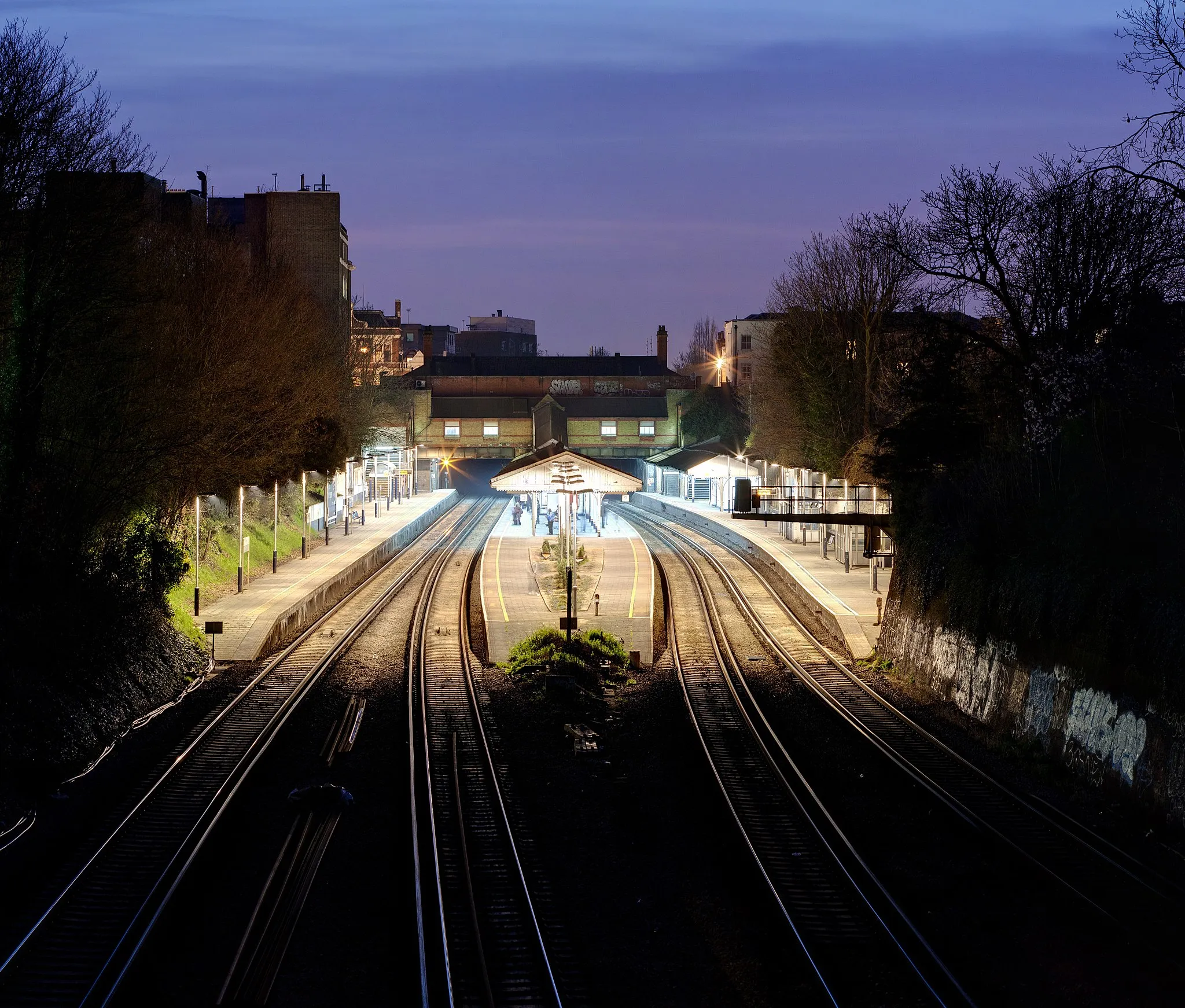
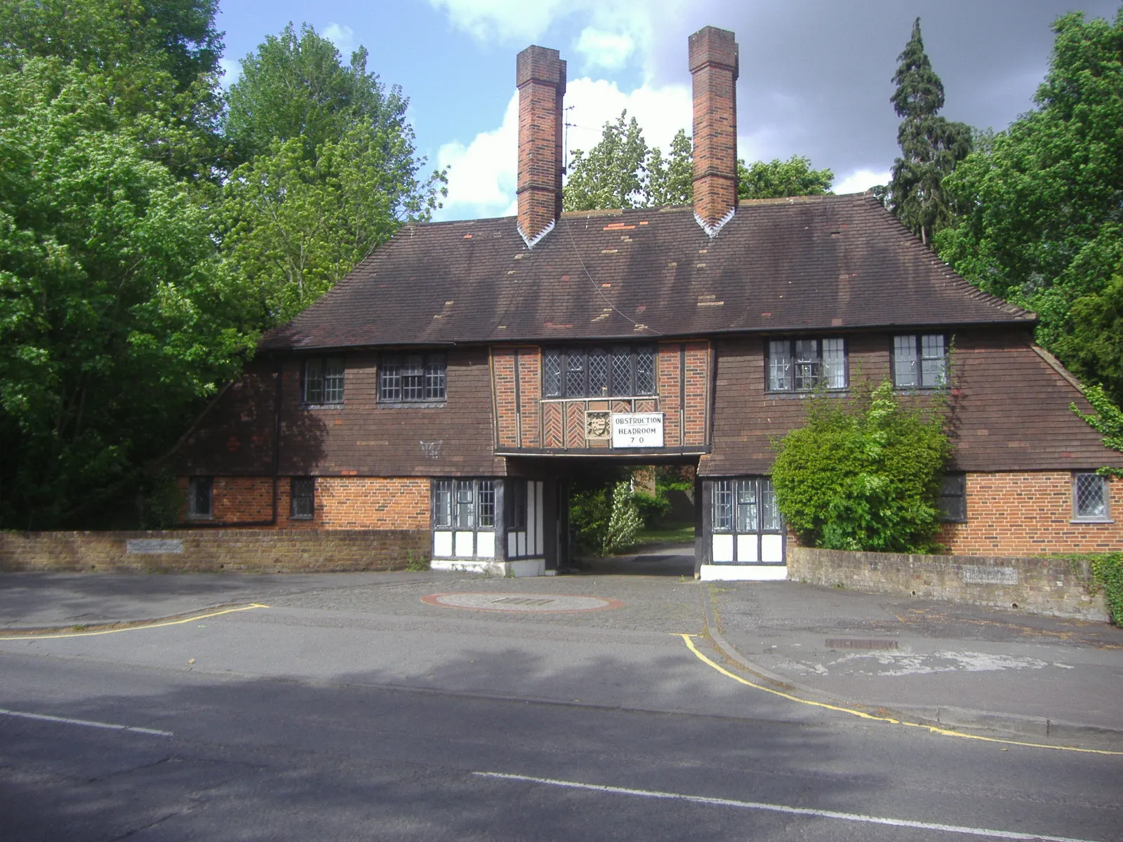
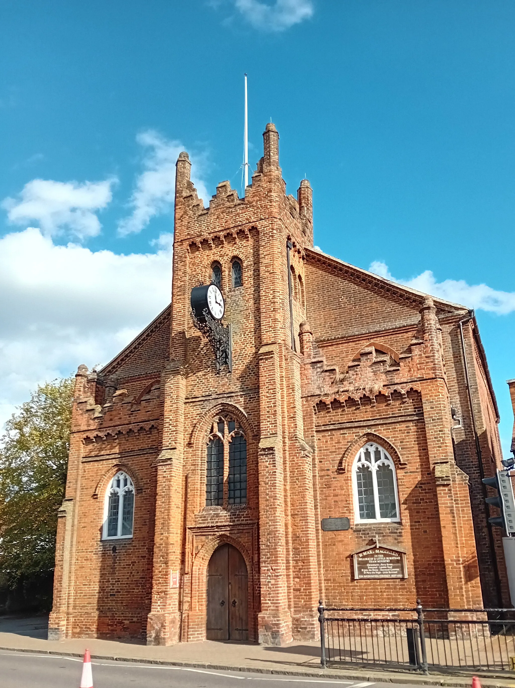
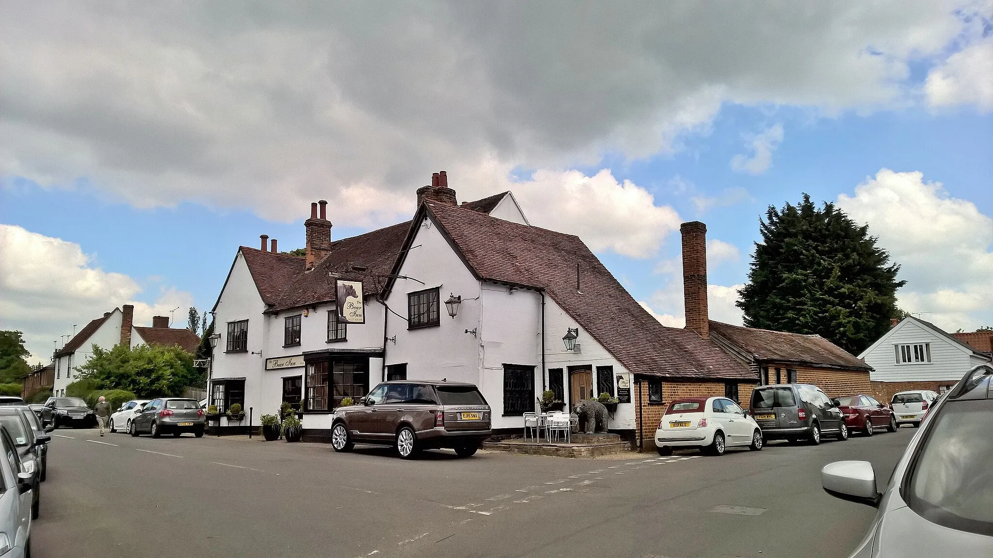
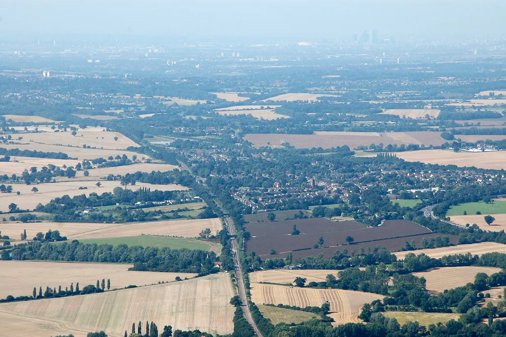
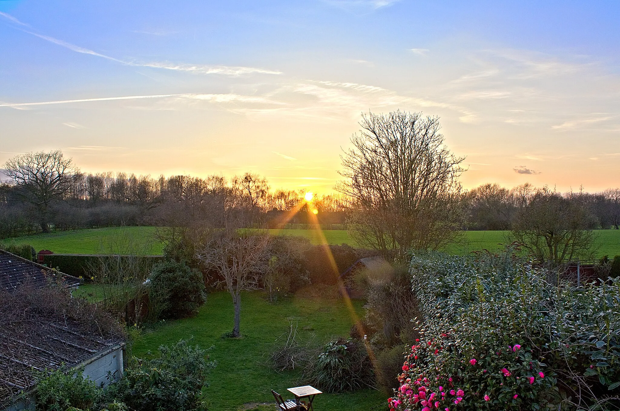
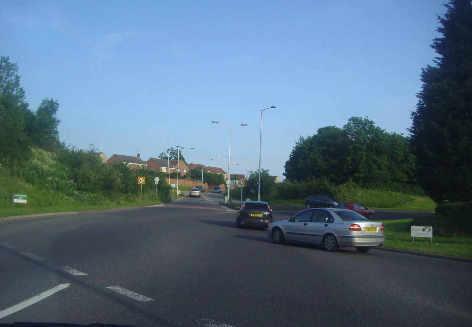
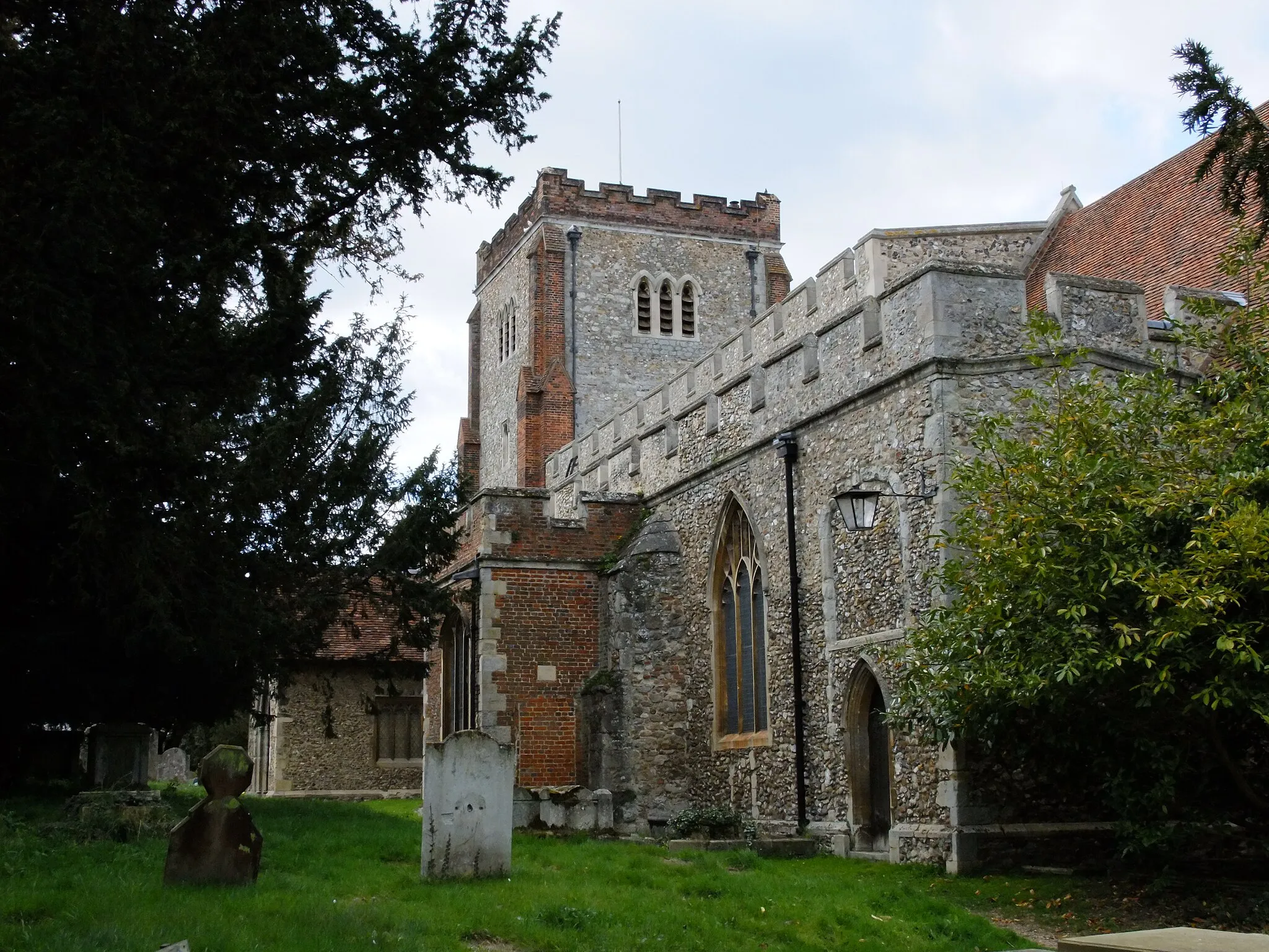
Billericay, situated in Essex, United Kingdom, offers diverse cycling routes suitable for both road and gravel cyclists. The locality features a mix of countryside charm and urban amenities, providing a unique experience for riders. Cyclists can enjoy well-maintained roads that traverse peaceful villages, meandering rivers, and rolling hills. Billericay is a gateway to the Essex countryside, offering various cycling trails that lead to attractions like Barleylands Farm Park and Norsey Woods. The area's cycling-friendly environment and proximity to London make Billericay an attractive choice for cyclists seeking a rural escape near the city.
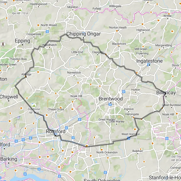
The Brentwood Gravel Route
Experience the rugged beauty of Brentwood
Venture off the beaten path and embrace the challenges of gravel cycling on the scenic Brentwood route. Covering a distance of 53 km with an ascent of 342 m, this route provides intermediate amateurs with an invigorating experience. Suitable for well-prepared amateurs with a difficulty rating of 4 out of 5. Explore the stunning countryside and immerse yourself in the raw beauty of nature.
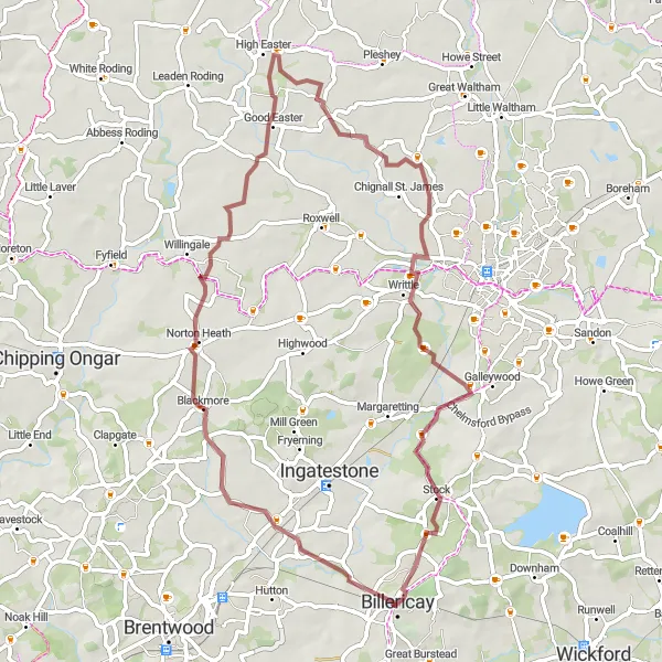
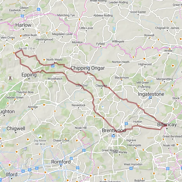
A gravel loop around Billericay.
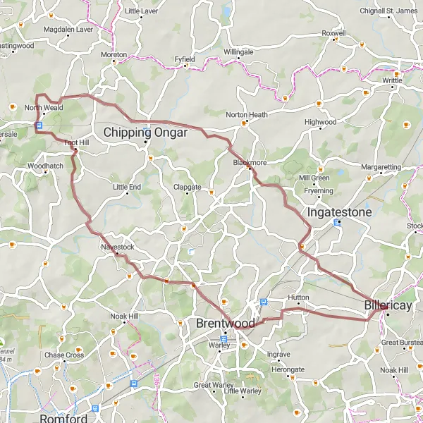
This gravel loop takes you through the picturesque villages and countryside surrounding Billericay. It covers a distance of 56 km with an ascent of 320m. The route is suitable for gravel bikes and offers a mix of off-road trails and quiet country lanes. It is a moderate-level route, providing a balance between challenge and enjoyment.
Exploring Essex's Scenic Roads
Discover the charming villages and rolling countryside of Essex on this road cycling route.
This scenic road cycling route takes you through the beautiful countryside of Essex, showcasing picturesque villages and rolling hills. With a total distance of 121 km and an ascent of 764 meters, this route offers a moderate challenge for experienced cyclists. Starting in Billericay, you will pass through highlights such as the historic town of Writtle, the vibrant village of Great Waltham, and the market town of Braintree. Along the way, you can admire the breathtaking landscapes and immerse yourself in the rich history and culture of the region.
The Ingrave Route
Cycle through historic Ingrave
This route takes you through the charming village of Ingrave, known for its rich history and picturesque countryside. With a total distance of 90 km and an ascent of 575 m, this route offers a challenging yet rewarding cycling experience. The road terrain is ideal for road bikes, providing smooth riding conditions throughout. Suitable for well-trained amateurs with a difficulty rating of 3 out of 5. Experience the stunning landscapes and fascinating landmarks along the way.
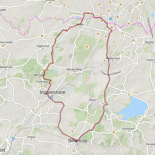
Experience the beautiful rural landscapes of Essex on this challenging gravel ride.
This scenic gravel route takes you through the picturesque countryside near Billericay, offering breathtaking views and a mix of challenging terrains. The relatively short distance makes it perfect for a day trip or a quick escape from the city. With a moderate difficulty level, this ride is suitable for well-trained amateurs looking to push themselves. The epicness of the route is amplified by the stunning highlights along the way.
The Blackmore Route

Explore the beauty of Blackmore
Embark on an adventurous cycling journey through the captivating landscapes surrounding Blackmore. This road cycling route spans a distance of 91 km with an ascent of 418 m, providing amateurs with a challenging yet enjoyable experience. Suitable for well-trained amateurs with a difficulty rating of 3 out of 5. Immerse yourself in the serene countryside and discover the hidden gems scattered along the route.
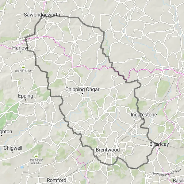
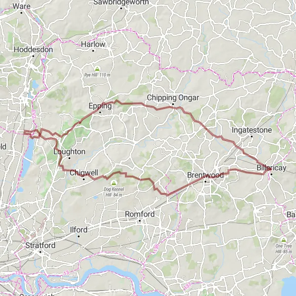
Epping Forest Gravel Escape
Discover the beauty of Epping Forest on this gravel route.
Overall adventurous gravel exploration catering traditional importance of Brentwood, magnificent landscapes at Epping and captivating ambiance of Chipping Ongar.
The Upminster Route
Discover the beauty of Upminster
Embark on a picturesque cycling adventure through the stunning landscapes of Upminster. With a route distance of 68 km and an ascent of 454 m, this road cycling route offers a satisfying challenge for enthusiasts. Suitable for experienced amateurs with a difficulty rating of 3 out of 5. Experience the beauty of rural Essex and enjoy the peaceful ambiance throughout the journey.
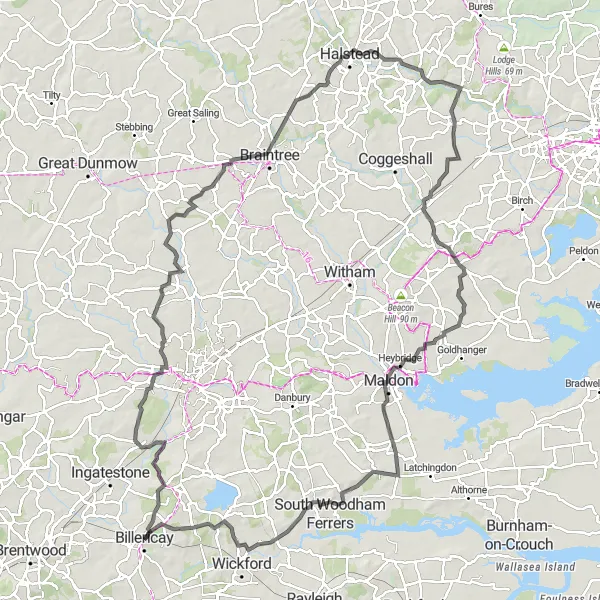
Chelmsford to Sunnymede Loop
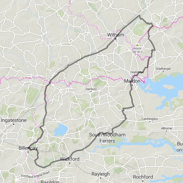
A scenic route from Chelmsford to Sunnymede.
Overall great route passing through key highlights as the birthplace of radio(Marconi Exhibition), historical buildings in Witham and sea salt at Maldon.
An epic gravel ride exploring the countryside near Brentwood.
Embark on an epic gravel ride exploring the countryside near Brentwood. This challenging route covers a distance of 82 km with an ascent of 671m. It takes you through Brentwood, Buckhurst Hill, Epping Forest Field Centre Bird Viewing Point, High Beach, Stondon Massey, and Padham's Green. It offers a mix of off-road trails and quiet country lanes, providing a thrilling adventure for gravel bike enthusiasts.
Cycling routes nearby:

Nearby regions: