![Cover image](https://images.tarmacs.app/cycling-routes/covers/united-kingdom/gloucestershire-wiltshire-and-bristol-bath-area/aldbourne-3.webp)
Experience the beauty of Aldbourne as you cycle through its idyllic countryside.
Cycling routes from Aldbourne
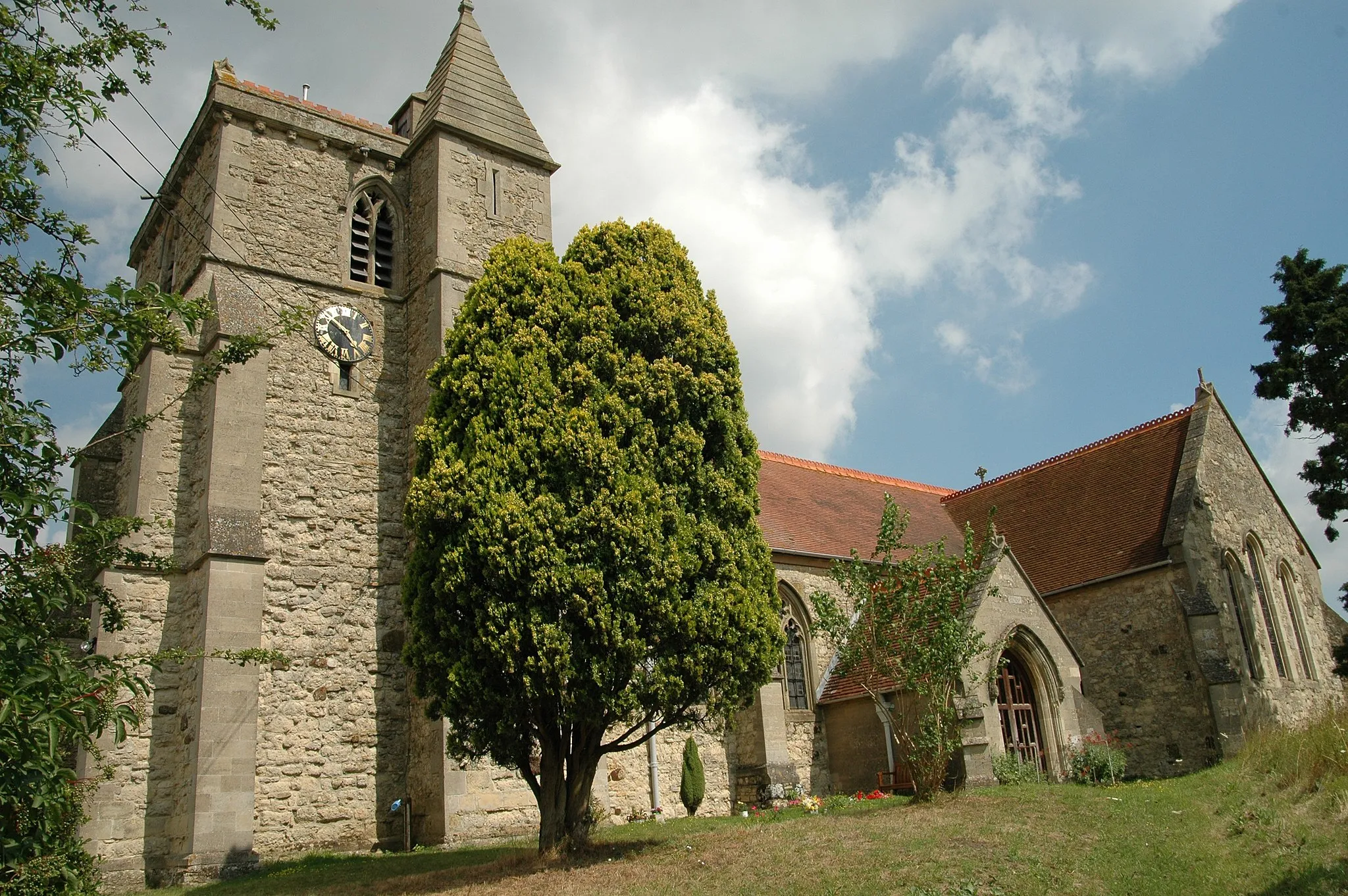
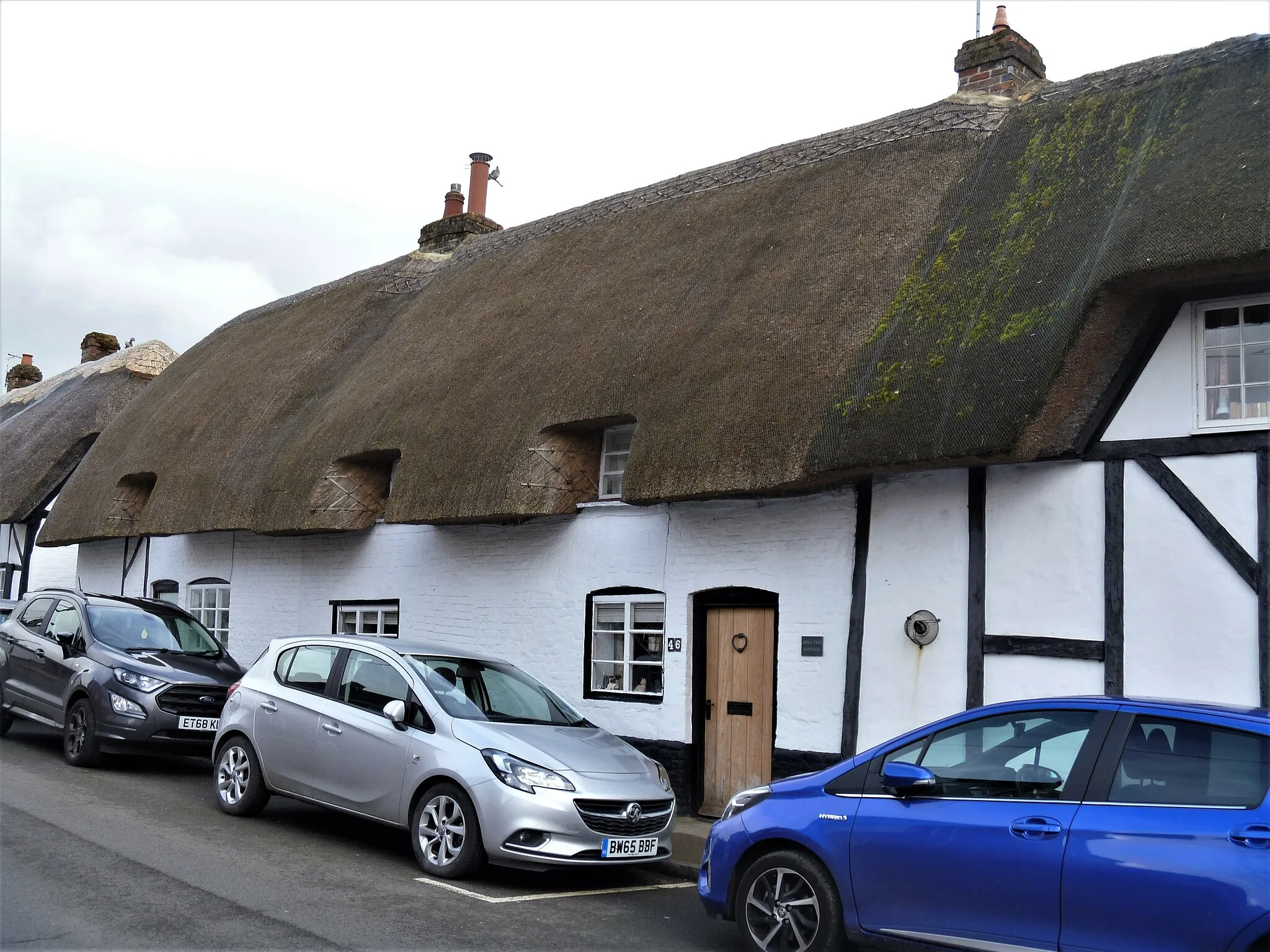
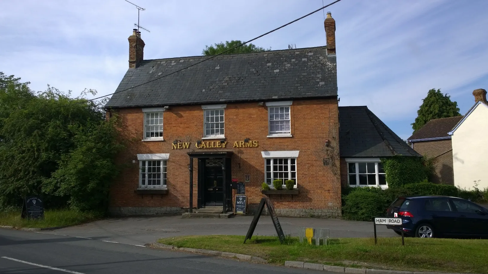
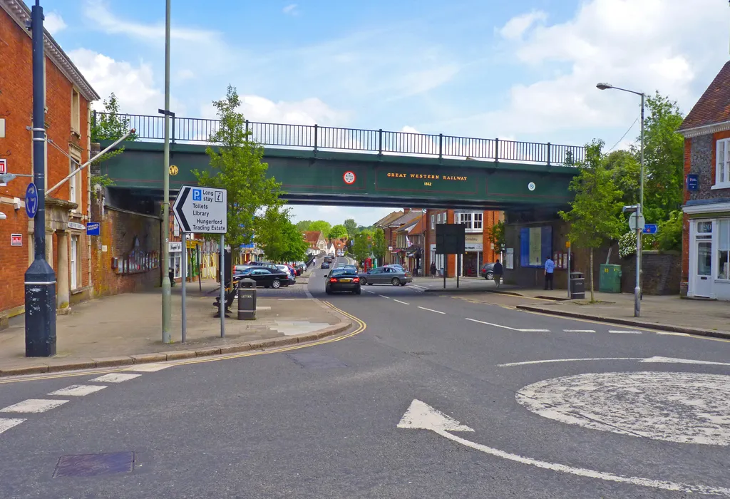
Aldbourne, located in the Gloucestershire, Wiltshire, and Bristol/Bath area of the United Kingdom, is a delightful locality for road and gravel cyclists. The region offers a mix of scenic countryside routes and challenging climbs, making it suitable for cyclists of all levels. One popular cycling spot nearby is the White Horse Trail, which features stunning views of the iconic hill figure. Aldbourne also provides easy access to the Cotswolds, known for its picturesque villages and rolling hills. With its diverse cycling terrain and picturesque surroundings, Aldbourne is a cyclist's dream destination.
Aldbourne Loop
![Map miniature of "Aldbourne Loop" cycling inspiration in Gloucestershire, Wiltshire and Bristol/Bath area, United Kingdom. Generated by Tarmacs.app cycling route planner](https://images.tarmacs.app/cycling-routes/routemaps/600/united-kingdom/gloucestershire-wiltshire-and-bristol-bath-area/aldbourne/gravel/298915.webp)
A scenic gravel adventure with historic highlights
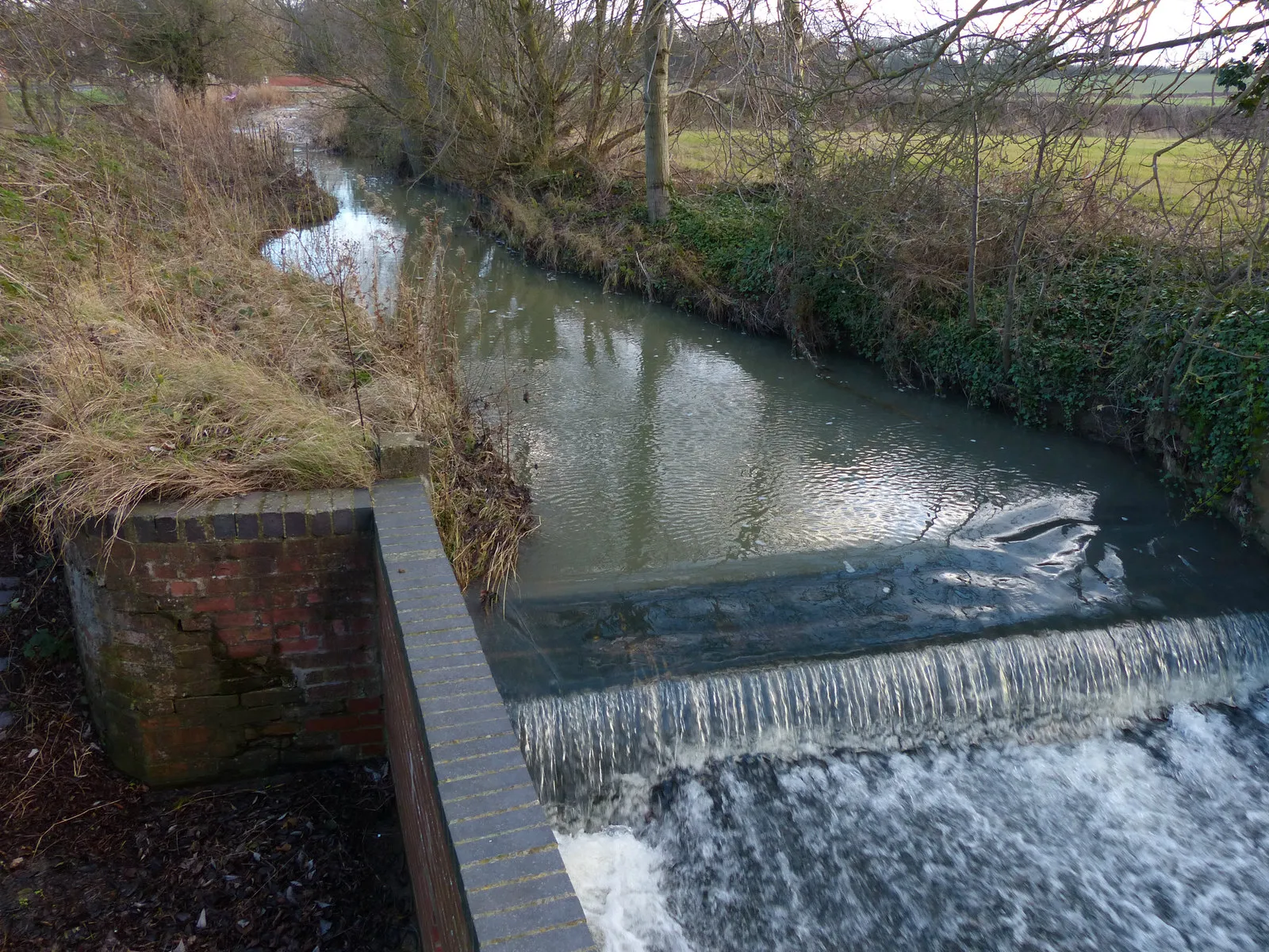
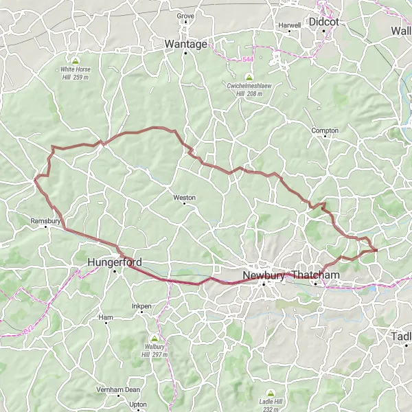
Discover the picturesque countryside around Aldbourne as you embark on this 58km gravel loop. With a moderate ascent of 696m, you'll pass through charming villages and enjoy panoramic views of East Woodhay, Inkpen Hill, Froxfield, and finally return to Aldbourne.
Aldbourne Ruins Ride
![Map miniature of "Aldbourne Ruins Ride" cycling inspiration in Gloucestershire, Wiltshire and Bristol/Bath area, United Kingdom. Generated by Tarmacs.app cycling route planner](https://images.tarmacs.app/cycling-routes/routemaps/600/united-kingdom/gloucestershire-wiltshire-and-bristol-bath-area/aldbourne/gravel/298901.webp)
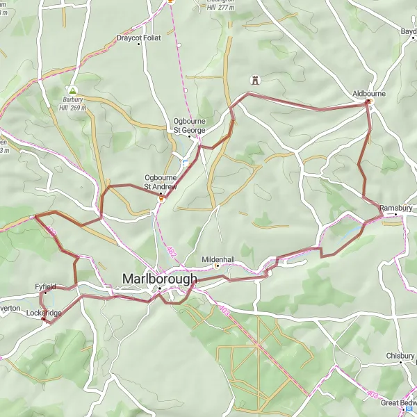
English countryside exploration with historic ruins
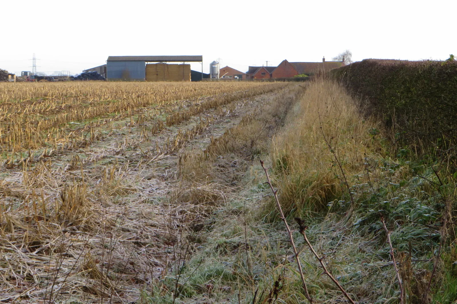
Embark on a picturesque 42km gravel loop near Aldbourne, showcasing the region's natural beauty and rich heritage. With a moderate ascent of 555m, this route will lead you to the charming settlements of Axford, Manton, Ogbourne St Andrew, and then back to Aldbourne.
![Map miniature of "Aldbourne Loop via Charlbury Hill and Ashbury" cycling inspiration in Gloucestershire, Wiltshire and Bristol/Bath area, United Kingdom. Generated by Tarmacs.app cycling route planner](https://images.tarmacs.app/cycling-routes/routemaps/600/united-kingdom/gloucestershire-wiltshire-and-bristol-bath-area/aldbourne/road/298903.webp)
A scenic road cycling route passing through picturesque Charlbury Hill and Ashbury
This 50 km road cycling route offers scenic views and takes riders through beautiful countryside. The route includes highlights such as Charlbury Hill, known for its stunning landscapes, and Ashbury, a charming village with traditional architecture.
![Map miniature of "Aldbourne and Back" cycling inspiration in Gloucestershire, Wiltshire and Bristol/Bath area, United Kingdom. Generated by Tarmacs.app cycling route planner](https://images.tarmacs.app/cycling-routes/routemaps/600/united-kingdom/gloucestershire-wiltshire-and-bristol-bath-area/aldbourne/road/298926.webp)
A scenic cycling journey exploring the Gloucestershire, Wiltshire, and Bristol/Bath area
Embark on a memorable cycling adventure starting near Aldbourne, taking you through some stunning countryside and picturesque towns. This route offers a perfect mix of challenging climbs, tranquil lanes, and beautiful views. Experience the rich history and natural beauty of the region as you pedal through rolling hills and charming villages. Whether you're a road cyclist or a gravel enthusiast, this route promises to delight both your senses and your legs.
![Map miniature of "Wiltshire Circuit via Baydon and Wantage" cycling inspiration in Gloucestershire, Wiltshire and Bristol/Bath area, United Kingdom. Generated by Tarmacs.app cycling route planner](https://images.tarmacs.app/cycling-routes/routemaps/600/united-kingdom/gloucestershire-wiltshire-and-bristol-bath-area/aldbourne/road/298910.webp)
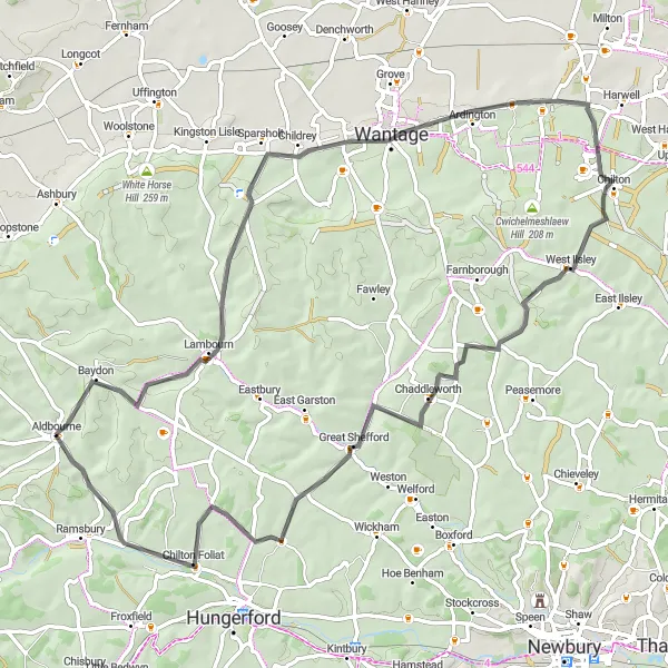
Explore the picturesque countryside of Wiltshire on this road cycling route via Baydon and Wantage
This 73 km road cycling route takes riders through the stunning countryside of Wiltshire, passing by Baydon and Wantage. With a moderate difficulty level, this route offers the perfect balance of challenge and enjoyment.
Baydon Beauty
![Map miniature of "Baydon Beauty" cycling inspiration in Gloucestershire, Wiltshire and Bristol/Bath area, United Kingdom. Generated by Tarmacs.app cycling route planner](https://images.tarmacs.app/cycling-routes/routemaps/600/united-kingdom/gloucestershire-wiltshire-and-bristol-bath-area/aldbourne/gravel/298900.webp)
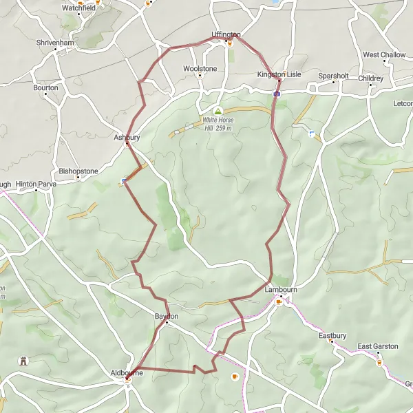
Traverse romantic English countryside routes
Experience the natural beauty surrounding Aldbourne with this 41km gravel route. With a moderate ascent of 576m, you'll journey through Baydon, Kingston Lisle, and finally return to Aldbourne.
![Map miniature of "Aldbourne Loop via Baydon and Lambourn" cycling inspiration in Gloucestershire, Wiltshire and Bristol/Bath area, United Kingdom. Generated by Tarmacs.app cycling route planner](https://images.tarmacs.app/cycling-routes/routemaps/600/united-kingdom/gloucestershire-wiltshire-and-bristol-bath-area/aldbourne/road/298936.webp)
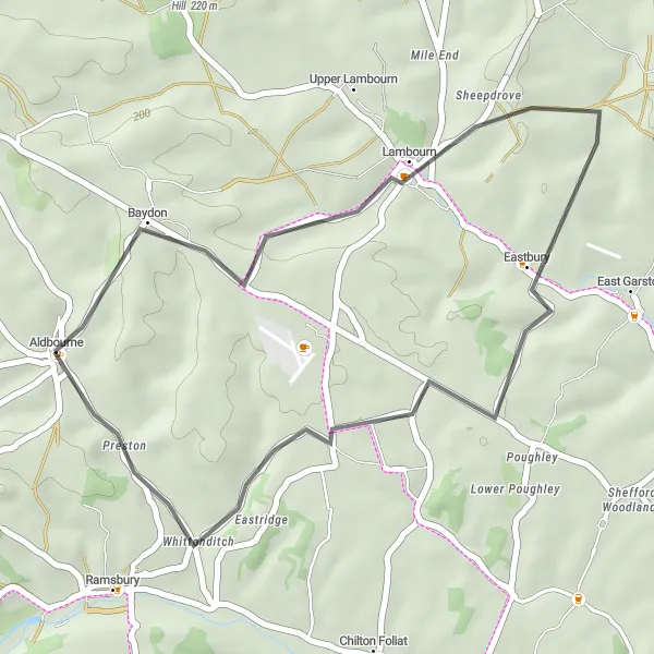
Discover the beauty of the Aldbourne area on this scenic road cycling route featuring Baydon and Lambourn
This 30 km road cycling route takes riders through the stunning countryside surrounding Aldbourne. With a moderate difficulty level, cyclists can enjoy the picturesque landscapes and visit highlights such as Baydon and Lambourn.
![Map miniature of "Aldbourne Gravel Adventure via Manton and Silbury Hill" cycling inspiration in Gloucestershire, Wiltshire and Bristol/Bath area, United Kingdom. Generated by Tarmacs.app cycling route planner](https://images.tarmacs.app/cycling-routes/routemaps/600/united-kingdom/gloucestershire-wiltshire-and-bristol-bath-area/aldbourne/gravel/298912.webp)
Embark on a thrilling gravel adventure through picturesque landscapes, including Manton and Silbury Hill
This 60 km gravel cycling route takes riders on an exciting adventure through scenic landscapes, passing through highlights such as Manton and Silbury Hill. With a moderate difficulty level, this route offers a mix of off-road excitement and beautiful countryside views.
![Map miniature of "Cotswolds Circuit via Baydon and Southmoor" cycling inspiration in Gloucestershire, Wiltshire and Bristol/Bath area, United Kingdom. Generated by Tarmacs.app cycling route planner](https://images.tarmacs.app/cycling-routes/routemaps/600/united-kingdom/gloucestershire-wiltshire-and-bristol-bath-area/aldbourne/road/298920.webp)
Embark on a scenic road cycling adventure through the idyllic Cotswolds, passing Baydon and Southmoor
This 78 km road cycling route takes riders through the stunning landscapes of the Cotswolds, passing by charming villages including Baydon and Southmoor. With a higher difficulty level, this route offers a challenge for more experienced cyclists seeking to explore the beauty of the region.
![Map miniature of "Mysterious Baydon Ride" cycling inspiration in Gloucestershire, Wiltshire and Bristol/Bath area, United Kingdom. Generated by Tarmacs.app cycling route planner](https://images.tarmacs.app/cycling-routes/routemaps/600/united-kingdom/gloucestershire-wiltshire-and-bristol-bath-area/aldbourne/gravel/298916.webp)
An adventurous countryside expedition with stunning vistas
Embark on an 81km gravel journey through some of the most mystical areas near Aldbourne. With a challenging ascent of 736m, this route will lead you to Baydon, Bucklebury, the Bridge Over River, Kintbury, and finally guide you back to Aldbourne.
Cycling routes nearby:
![Image of Ramsbury](https://images.tarmacs.app/cycling-routes/covers/united-kingdom/gloucestershire-wiltshire-and-bristol-bath-area/ramsbury-5.webp)
![Image of Lambourn](https://images.tarmacs.app/cycling-routes/covers/united-kingdom/berkshire-buckinghamshire-and-oxfordshire/lambourn-5.webp)
![Image of Chiseldon](https://images.tarmacs.app/cycling-routes/covers/united-kingdom/gloucestershire-wiltshire-and-bristol-bath-area/chiseldon-5.webp)
![Image of Wanborough](https://images.tarmacs.app/cycling-routes/covers/united-kingdom/gloucestershire-wiltshire-and-bristol-bath-area/wanborough-5.webp)
![Image of Hungerford](https://images.tarmacs.app/cycling-routes/covers/united-kingdom/berkshire-buckinghamshire-and-oxfordshire/hungerford-5.webp)
![Image of Marlborough](https://images.tarmacs.app/cycling-routes/covers/united-kingdom/gloucestershire-wiltshire-and-bristol-bath-area/marlborough-5.webp)
![Image of Wroughton](https://images.tarmacs.app/cycling-routes/covers/united-kingdom/gloucestershire-wiltshire-and-bristol-bath-area/wroughton-5.webp)
![Image of Shrivenham](https://images.tarmacs.app/cycling-routes/covers/united-kingdom/berkshire-buckinghamshire-and-oxfordshire/shrivenham-1.webp)
Nearby regions:
![Image of Leicestershire, Rutland and Northamptonshire](https://images.tarmacs.app/cycling-routes/covers/united-kingdom/leicestershire-rutland-and-northamptonshire/syston-5.webp)
![Image of Herefordshire, Worcestershire and Warwickshire](https://images.tarmacs.app/cycling-routes/covers/united-kingdom/herefordshire-worcestershire-and-warwickshire/south-littleton-2.webp)
![Image of Shropshire and Staffordshire](https://images.tarmacs.app/cycling-routes/covers/united-kingdom/shropshire-and-staffordshire/yoxall-4.webp)
![Image of West Midlands](https://images.tarmacs.app/cycling-routes/covers/united-kingdom/west-midlands/birmingham-2.webp)
![Image of Berkshire, Buckinghamshire and Oxfordshire](https://images.tarmacs.app/cycling-routes/covers/united-kingdom/berkshire-buckinghamshire-and-oxfordshire/stone-5.webp)
![Image of Hampshire and Isle of Wight](https://images.tarmacs.app/cycling-routes/covers/united-kingdom/hampshire-and-isle-of-wight/netley-5.webp)
![Image of Dorset and Somerset](https://images.tarmacs.app/cycling-routes/covers/united-kingdom/dorset-and-somerset/bruton-5.webp)
![Image of West Wales and The Valleys](https://images.tarmacs.app/cycling-routes/covers/united-kingdom/west-wales-and-the-valleys/brynamman-3.webp)
![Image of East Wales](https://images.tarmacs.app/cycling-routes/covers/united-kingdom/east-wales/caergwrle-3.webp)