Cycling in Atherton: A Beautiful Blend of Country Lanes and Off-Road Trails
Cycling routes from Atherton
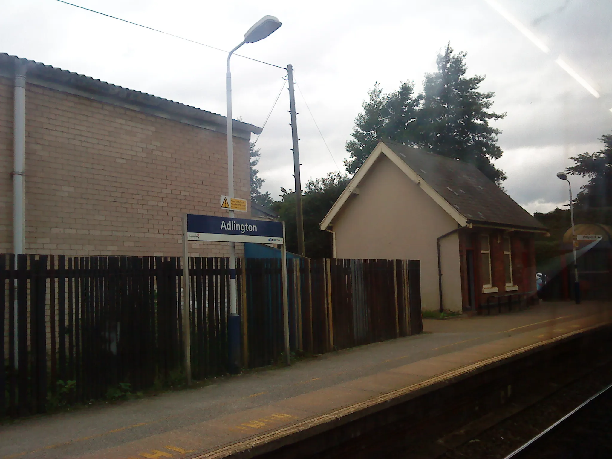
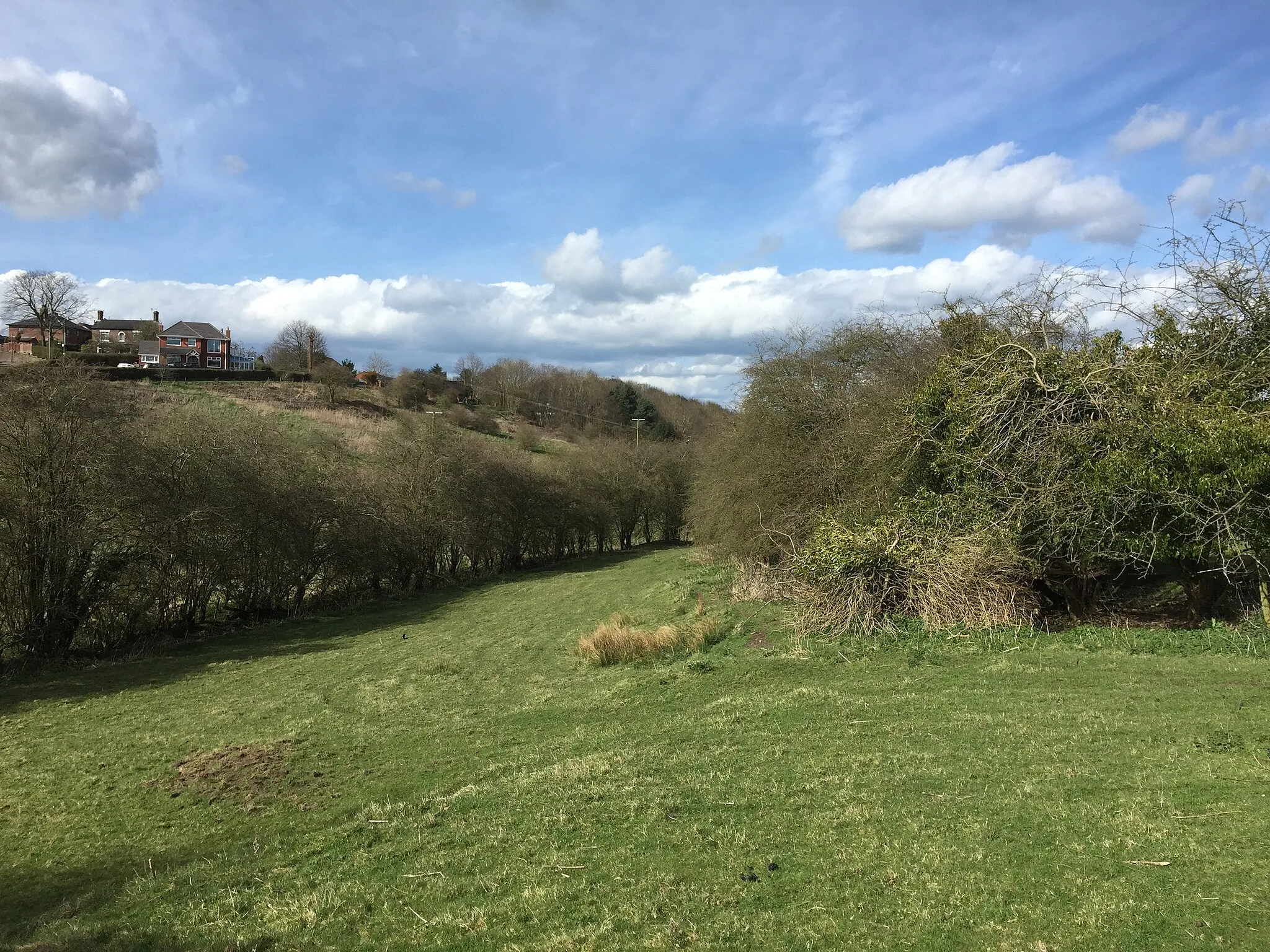
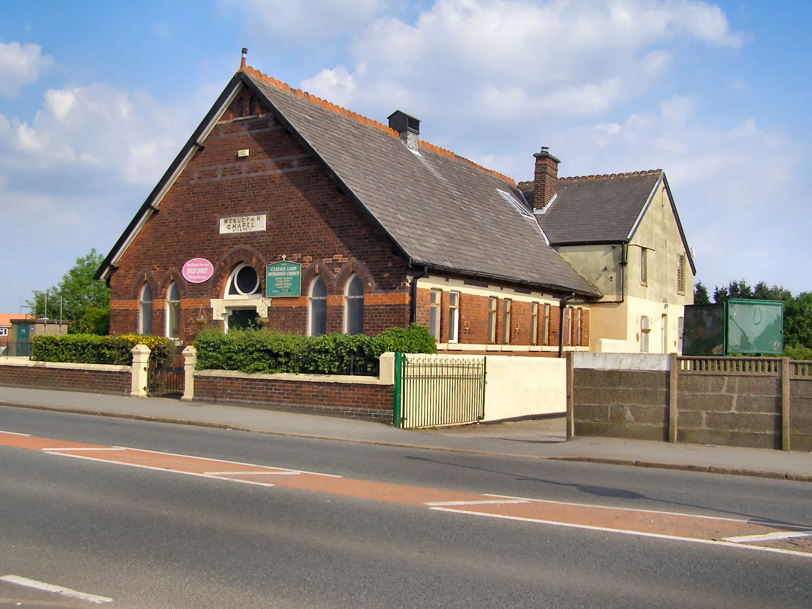
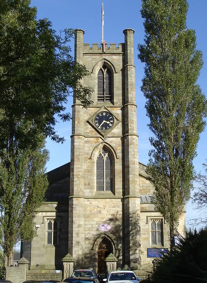
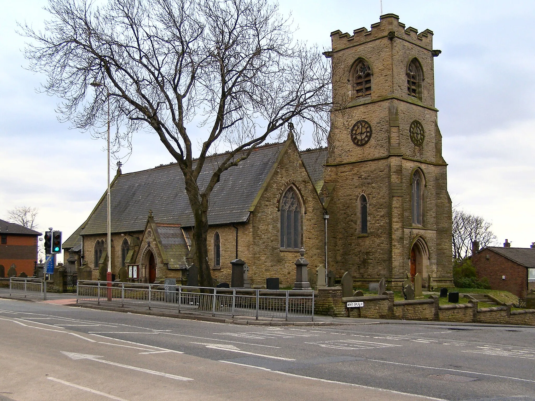
Atherton is a small town located in Greater Manchester, United Kingdom. From a cyclist's perspective, Atherton offers some scenic routes for road and gravel cycling. The quiet country lanes surrounding the town provide opportunities for peaceful rides in a rural setting. Additionally, there are some off-road trails nearby that cater to gravel cyclists looking for some adventure. Although not particularly famous for its cycling scene, Atherton offers a pleasant environment for casual cycling enthusiasts. There are no significant cycling-related spots or well-known climbs in close proximity to Atherton.
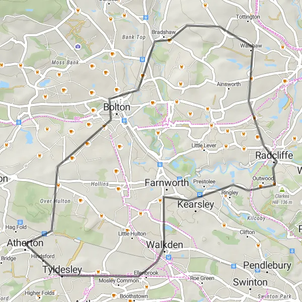
Explore the gravel roads of Bolton
This 39-kilometer gravel route showcases the scenic beauty of Bolton. With an ascent of 431 meters, this ride provides a moderate challenge suitable for amateur cyclists. Highlights along the route include the town of Bolton at 9 kilometers, where you can explore the historic landmarks and immerse yourself in the vibrant culture. The ride also takes you through Little Lever at 28 kilometers, known for its charming village atmosphere and friendly locals. The route concludes at Tyldesley, where you can take in the peaceful countryside surroundings.
The Radcliffe Gravel Loop
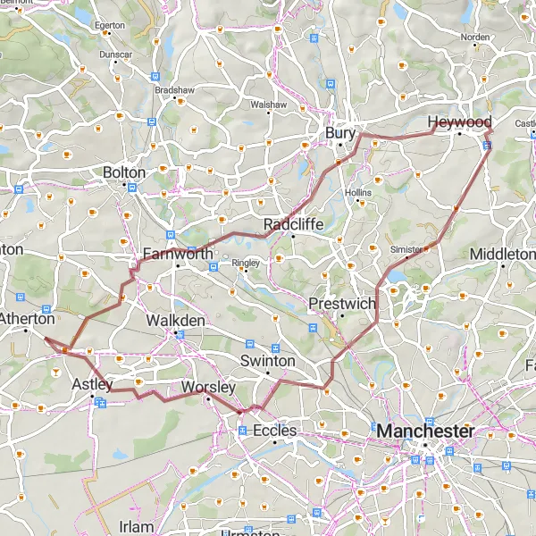
Discover the hidden gems of Radcliffe on this gravel adventure
Covering a distance of 54 kilometers with an ascent of 306 meters, this gravel route offers a moderate challenge suitable for amateur cyclists. Along the way, you'll pass through the town of Radcliffe at 14 kilometers, known for its charming markets and traditional pubs. Heywood, at 23 kilometers, is another highlight featuring beautiful parks and a thriving arts scene. One of the main highlights is Heaton Park, located at 34 kilometers, which offers stunning landscapes and is known for its vibrant events. The ride concludes with a stretch through Worsley at 45 kilometers, known for its historic canal and picturesque buildings, before reaching New Hall Farm at 51 kilometers.
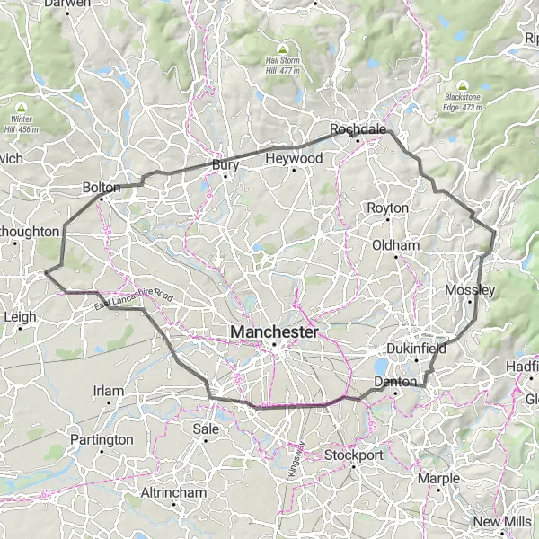
Embark on an adventurous journey to the top of Top-o-Cow!
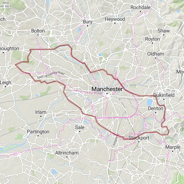
With a challenging ascent of 830 meters and a distance of 90 kilometers, this road cycling route is designed for well-trained amateurs looking for an extreme workout. The route includes several highlights, such as the breathtaking views from the top of Cow Hill at 4 kilometers and the historic town of Bolton at 7 kilometers. As you continue, you'll pass through Rochdale at 28 kilometers and Wharmton at 43 kilometers. The ride concludes with a scenic stretch through Mossley and Hyde before reaching the vibrant neighborhood of Chorlton-cum-Hardy at 70 kilometers.
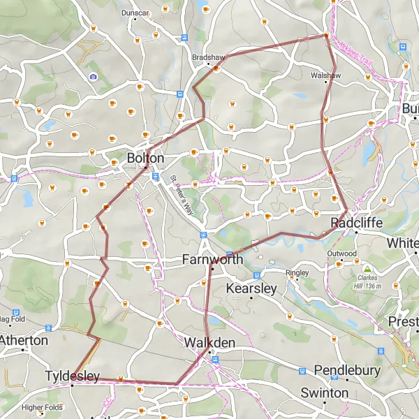
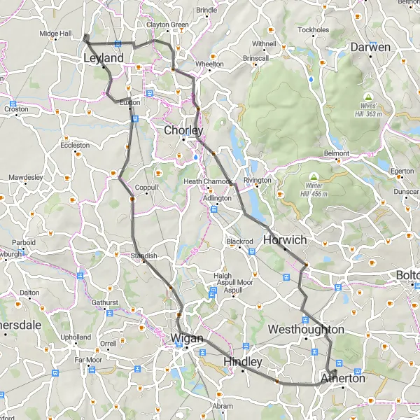
Atherton to Radcliffe Loop
Discover the scenic beauty of Greater Manchester on this road cycling route from Atherton to Radcliffe.
Experience a mix of urban and rural landscapes on this 39km route with a total ascent of 440m. The route takes you through Top-o-Cow, Bolton, Radcliffe, Clarkes Hill, Walkden, and Tyldesley.
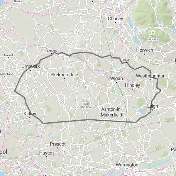
Leigh to Pemberton Gravel Route
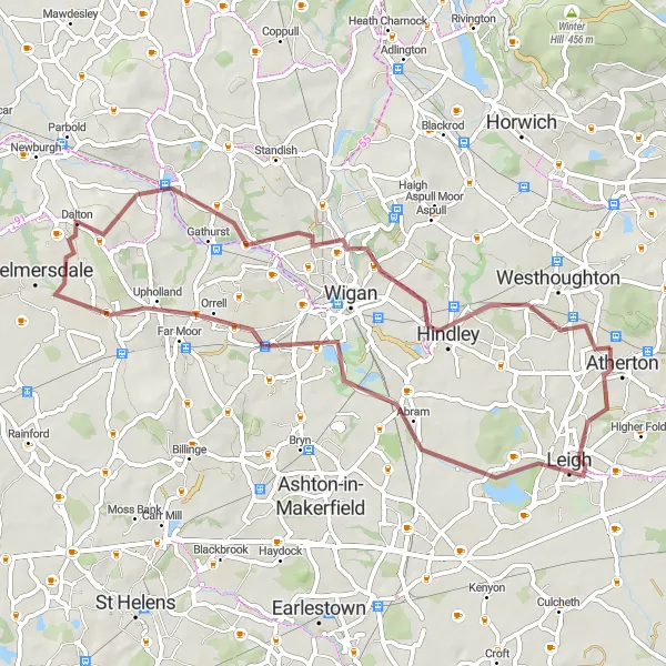
Embark on an off-road gravel cycling adventure from Leigh to Pemberton.
This 54km route offers a mix of challenging gravel trails and scenic views. Highlights along the route include Leigh, The Point, Platt Bridge, Pemberton, Ashurst's Beacon, and Hindley.
Ride through the beautiful towns of Farnworth and Prestwich
This gravel route takes you through the scenic towns of Farnworth and Prestwich. With a total ascent of 487 meters and a distance of 81 kilometers, this ride offers a moderate challenge for amateur cyclists. The route is filled with highlights, including the charming town of Droylsden at 32 kilometers and the vibrant neighborhood of Chorlton-cum-Hardy at 60 kilometers.
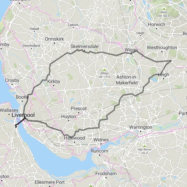
Embark on an adventurous road cycling journey from Leigh to Liverpool
Spanning a distance of 102 kilometers with an ascent of 422 meters, this road cycling route offers a challenging adventure for well-trained amateurs. The route includes several highlights, such as the town of Leigh at 4 kilometers, known for its vibrant markets and friendly locals. As you continue, you'll pass The Point at 6 kilometers, which offers beautiful views of the surrounding countryside. Pex Hill at 28 kilometers is another highlight, renowned for its stunning developed limestone quarries. The route also takes you through Cronton at 28 kilometers, which features a picturesque village center and stunning architecture. One of the main highlights is the city of Liverpool at 47 kilometers, famous for its rich cultural heritage, iconic waterfront, and music scene. The ride concludes with scenic stretches through Aintree, Melling Mount, and Wigan, before reaching Hag Fold at 102 kilometers.
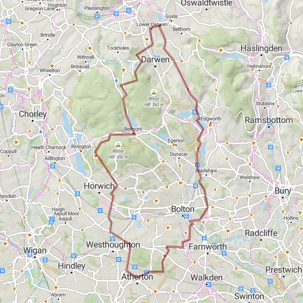
Venture off the beaten path on this gravel cycling route from Atherton.
Experience the thrill of gravel cycling on this 65km route with a challenging ascent of 902m. Highlights along the way include Westhoughton, Great Lawn, Old Man's Hill, Lower Darwen, Turton Tower, and Great Lever.
The Hills and Valleys
Experience the beauty of hills and valleys on this challenging road cycling route.
The Hills and Valleys is a challenging road cycling route starting near Atherton, Greater Manchester. With a total distance of 79 kilometers and an ascent of 477 meters, this route will take you through picturesque landscapes and diverse terrain.
Atherton to Horwich Loop
Embark on a thrilling road cycling adventure from Atherton to Horwich.
This 63km route features a total ascent of 381m and offers a combination of urban and rural scenery. Highlights along the way include Atherton, Wigan, Euxton, Farington, Horwich, and Westhoughton.
Cycling routes nearby:
Nearby regions: