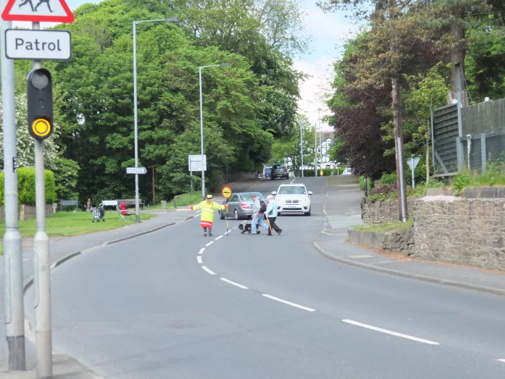
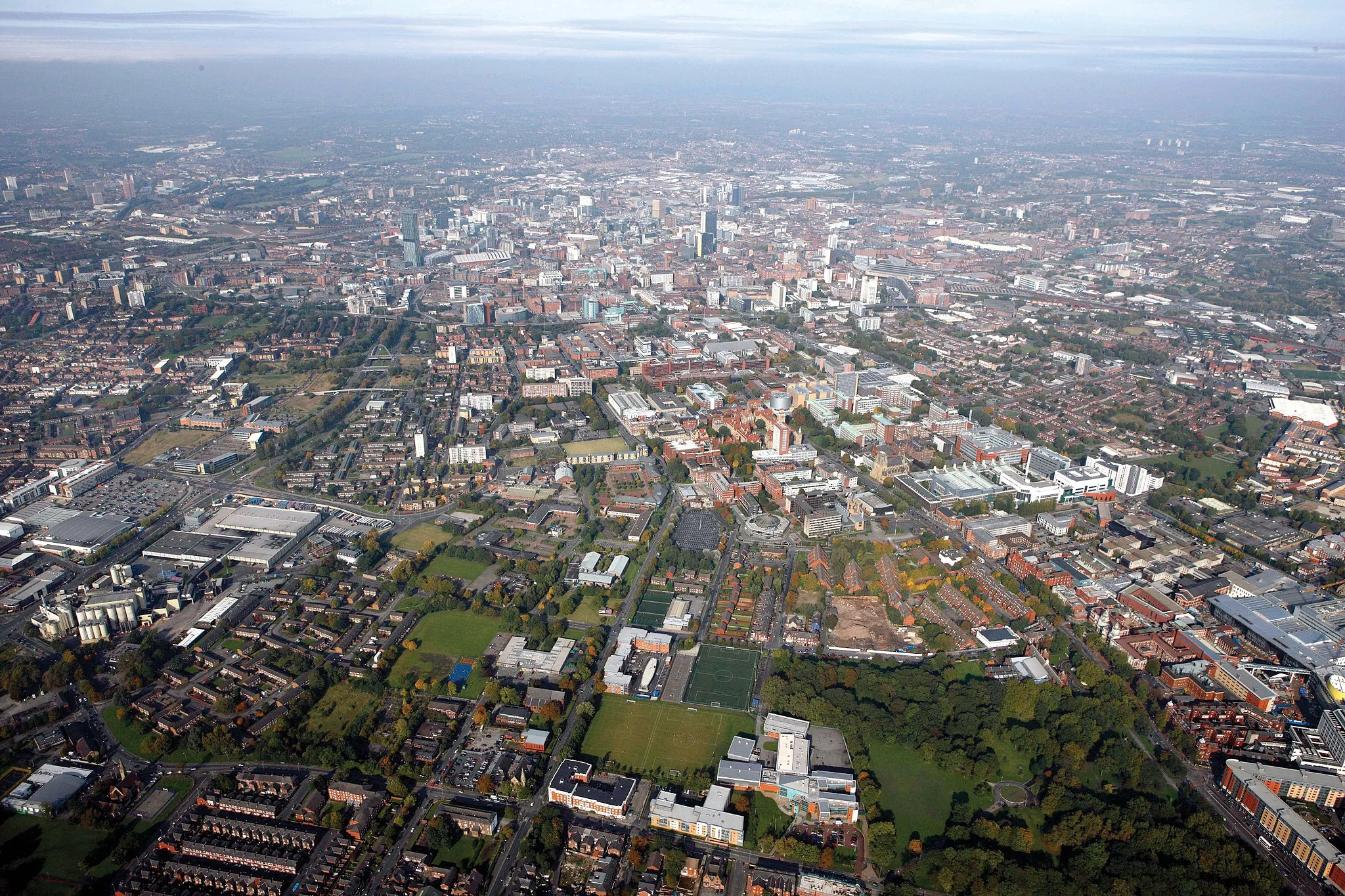
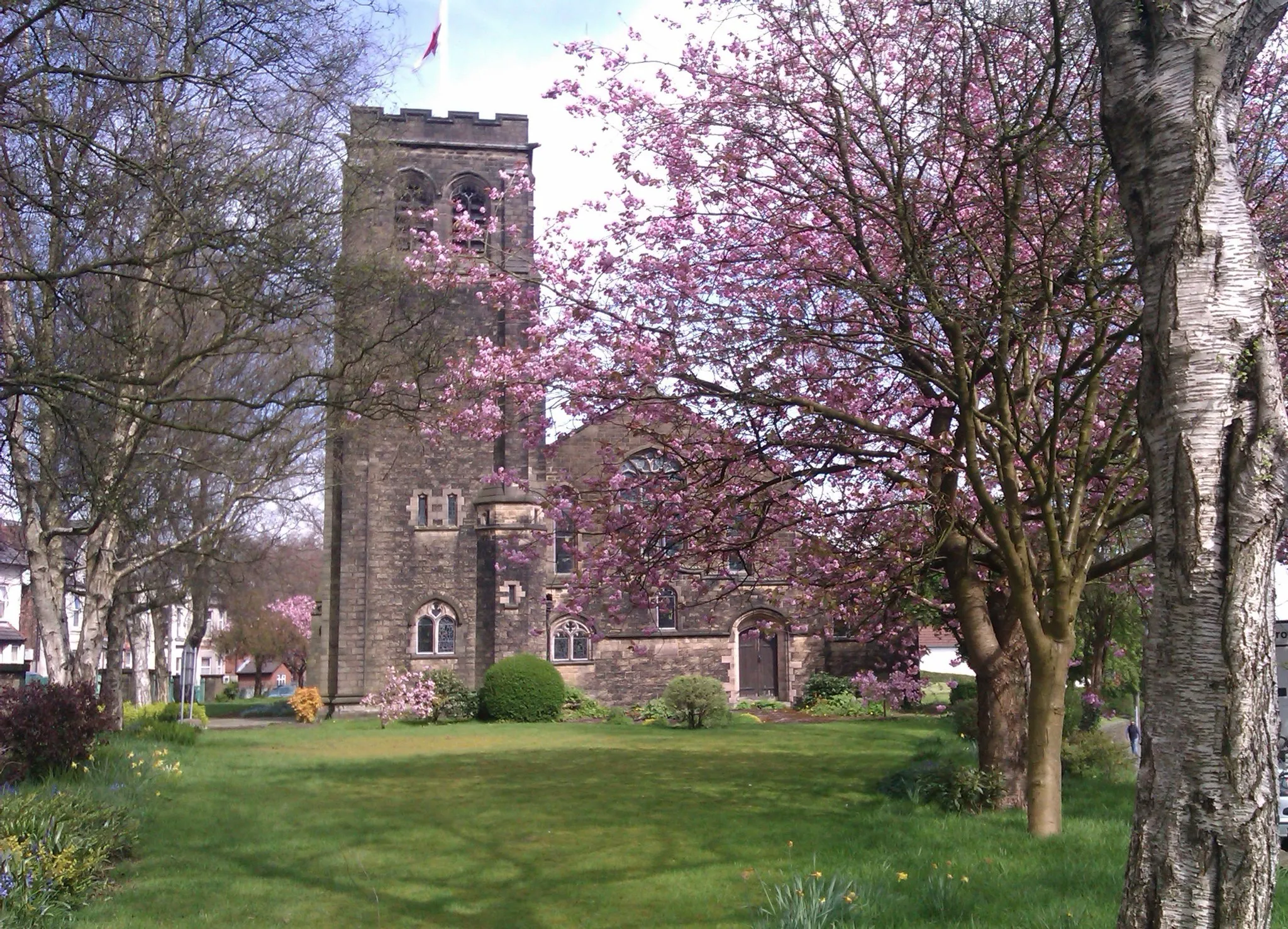
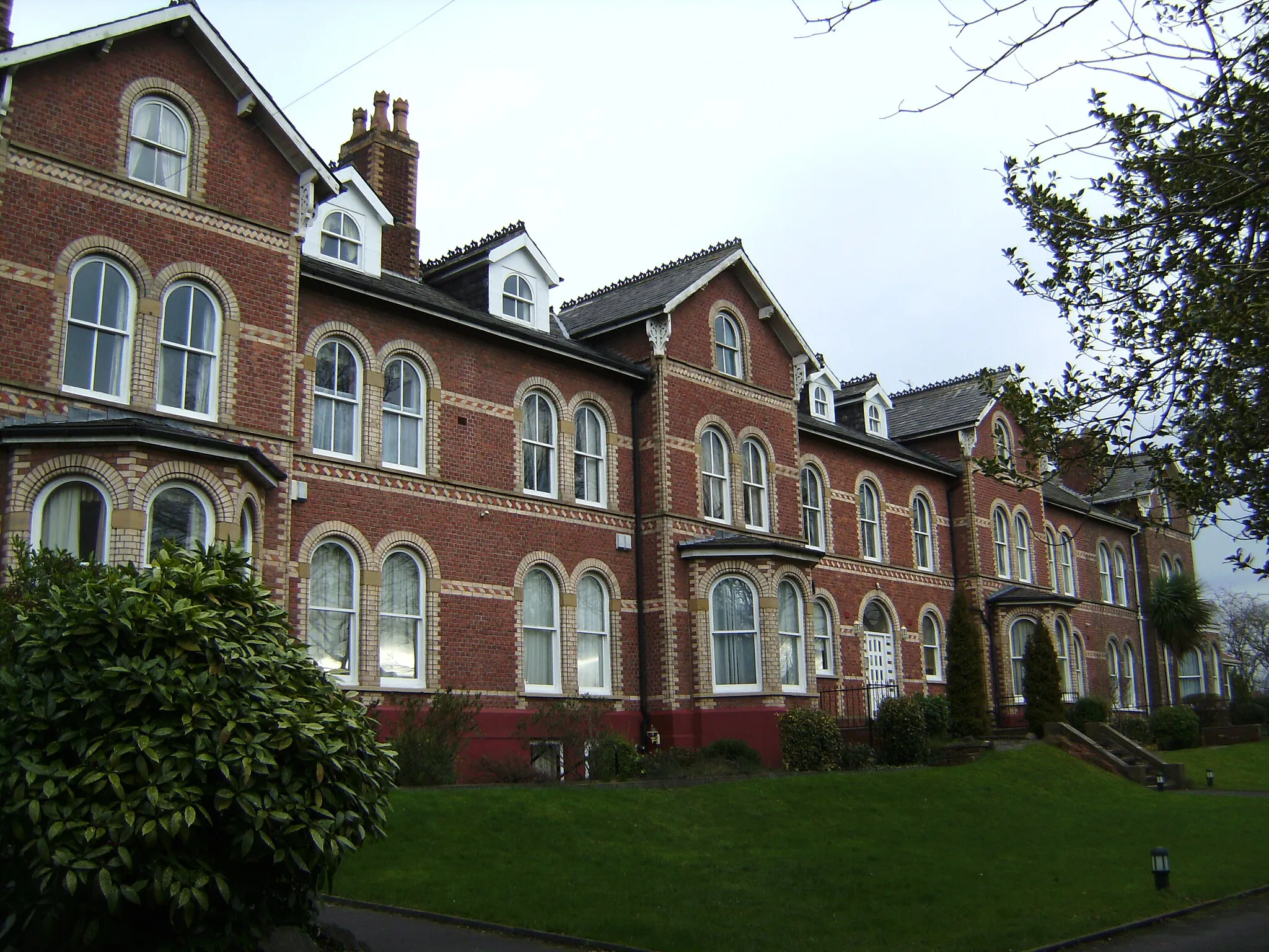
Cheetham Hill: An urban locality with limited cycling facilities.
Cycling routes from Cheetham Hill
Cheetham Hill is a locality situated in Greater Manchester, United Kingdom. From a cyclist's perspective, traffic can be challenging in this area due to its urban nature. However, there are some designated cycling routes and paths, which can provide safer options for cyclists. The terrain is relatively flat, making it suitable for casual rides or commutes. While there are no famous cycling-related spots or well-known climbs in close proximity, cyclists can connect with other nearby areas such as the Peak District National Park for more adventurous rides. Even though it may not be the most ideal cycling locality, Cheetham Hill offers some options for cyclists willing to explore the surrounding areas.

Cycle through the scenic landscapes of Whalley Range and Dunham Town.
This road cycling route takes you through the tranquil landscapes of Whalley Range and Dunham Town, covering a distance of 57 kilometers with a moderate ascent of 267 meters. With a difficulty level of 2, this route is ideal for well-trained amateur cyclists seeking a relatively easy ride. The epicness level of this route is rated at 1, providing a peaceful and enjoyable cycling experience.

Cycle through the scenic landscapes of Droylsden and Kettleshulme on this adventurous gravel route.
This gravel cycling route takes you through the picturesque landscapes of Droylsden and Kettleshulme, covering a distance of 74 kilometers with an ascent of 745 meters. With a difficulty level of 4, this route provides a challenging ride for well-trained amateur cyclists. Rated at an epicness level of 3, this route offers remarkable highlights and stunning natural beauty.
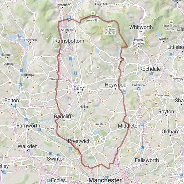
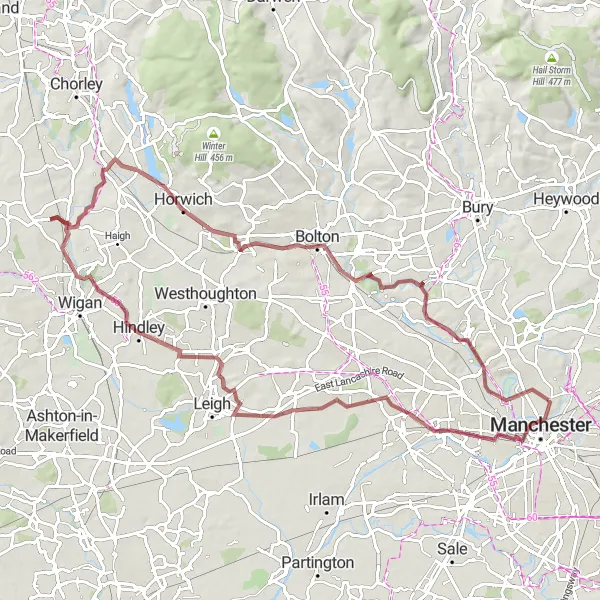
Discover the rugged beauty of Greater Manchester on this gravel adventure
This gravel route takes you through some of the most stunning natural landscapes of Greater Manchester. With a total distance of 59 km and an ascent of 811 meters, it offers a challenging but rewarding experience for gravel enthusiasts. The route highlights include Higher Broughton, Walshaw, Holcombe, Cowpe Lowe, Norden, and Cheetham Hill. The route is suitable for experienced gravel riders and offers breathtaking views along the way.
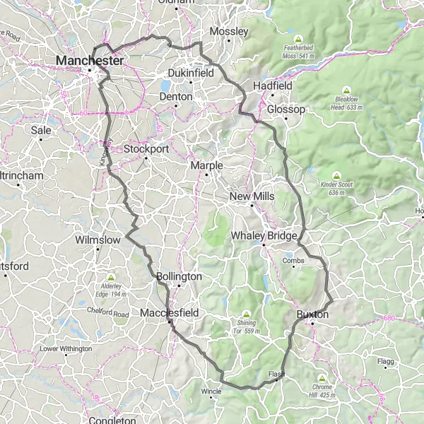
Embark on an exciting road cycling adventure from Stalybridge to the picturesque town of Buxton.
Experience the thrill of road cycling with this route from Stalybridge to Buxton, covering a distance of 109 kilometers and featuring a challenging ascent of 1478 meters. This route is suitable for well-trained amateur cyclists seeking a medium difficulty challenge. With an epicness level of 4, this route offers stunning views and remarkable highlights that will make your journey truly memorable.

Embark on an adventurous road cycling journey from Audenshaw to Altrincham.
Experience the thrill of road cycling with this scenic route from Audenshaw to Altrincham, covering a distance of 97 kilometers with a challenging ascent of 545 meters. This route is suitable for well-trained amateur cyclists seeking a medium difficulty challenge. With an epicness level of 3, this route offers beautiful landscapes and exciting highlights along the way.

Discover the beauty of Greater Manchester on this scenic road cycling route
This road cycling route takes you on a scenic loop through the diverse landscapes of Greater Manchester. With a total distance of 41 km and an ascent of 350 meters, it offers a moderately challenging ride suitable for intermediate riders. The route highlights include Heaton Park Colonnade, Bowlee, Heywood, Coldhurst, and Failsworth. Along the way, you'll pass through charming villages, rolling hills, and beautiful parks. This route is perfect for those looking to explore the natural beauty and rich history of Greater Manchester.

Explore the outskirts of Salford on this scenic road cycling route
This road cycling route takes you on a scenic journey through the outskirts of Salford. With a total distance of 55 km and an ascent of 258 meters, it offers a relaxed ride suitable for all skill levels. The route highlights include Ordsall Hall, Cadishead, Glazebury, Kearsley, and Broughton Park. Along the way, you'll discover historic landmarks, charming villages, and peaceful countryside. This route is perfect for those seeking a leisurely cycling experience with plenty of sightseeing opportunities.
Explore the historic towns of Eccles and Hindley Green on this scenic gravel route.
This gravel cycling route takes you through the charming towns of Eccles and Hindley Green, offering picturesque views and a diverse riding experience. With a moderate ascent of 406 meters and a total distance of 81 kilometers, this route is suitable for well-trained amateur cyclists. The epicness level of this route is rated at 2, providing an enjoyable cycling experience with interesting highlights along the way.
Cheshire Century Ride
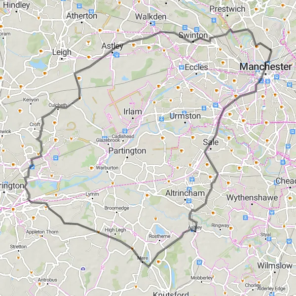
Embark on a scenic road cycling adventure through Cheshire
This road cycling route takes you on a picturesque journey through the stunning countryside of Cheshire. With a total distance of 76 km and an ascent of 351 meters, it offers a challenging ride for experienced road cyclists. The route highlights include Sale, High Legh, Latchford, Glazebury, and Broughton Park. Along the way, you'll enjoy scenic views, charming villages, and historic landmarks. This route is suitable for intermediate to advanced road cyclists looking for a memorable cycling experience in Cheshire.
Pennine Adventure
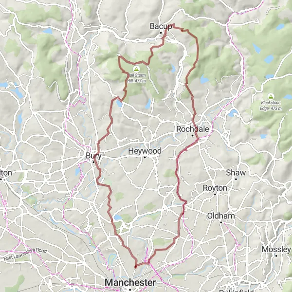
Conquer the Pennine hills on this epic gravel cycling route
This gravel route takes you on an epic adventure through the challenging Pennine hills. With a total distance of 67 km and an ascent of 820 meters, it offers a thrilling experience for seasoned gravel riders. The route highlights include Heaton Park Colonnade, Unsworth, Cheesden Lumb Mill, Hail Storm Hill, Bacup, Higher Hogshead, Rochdale, and Harpurhey. Prepare for breathtaking climbs, stunning views, and remote countryside. This route is only suitable for experienced and physically fit riders seeking an extreme gravel challenge.
Cycling routes nearby:
Nearby regions: