Limited cycling opportunities in an area without dedicated cycling infrastructure.
Cycling routes from Golborne
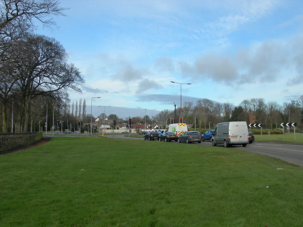
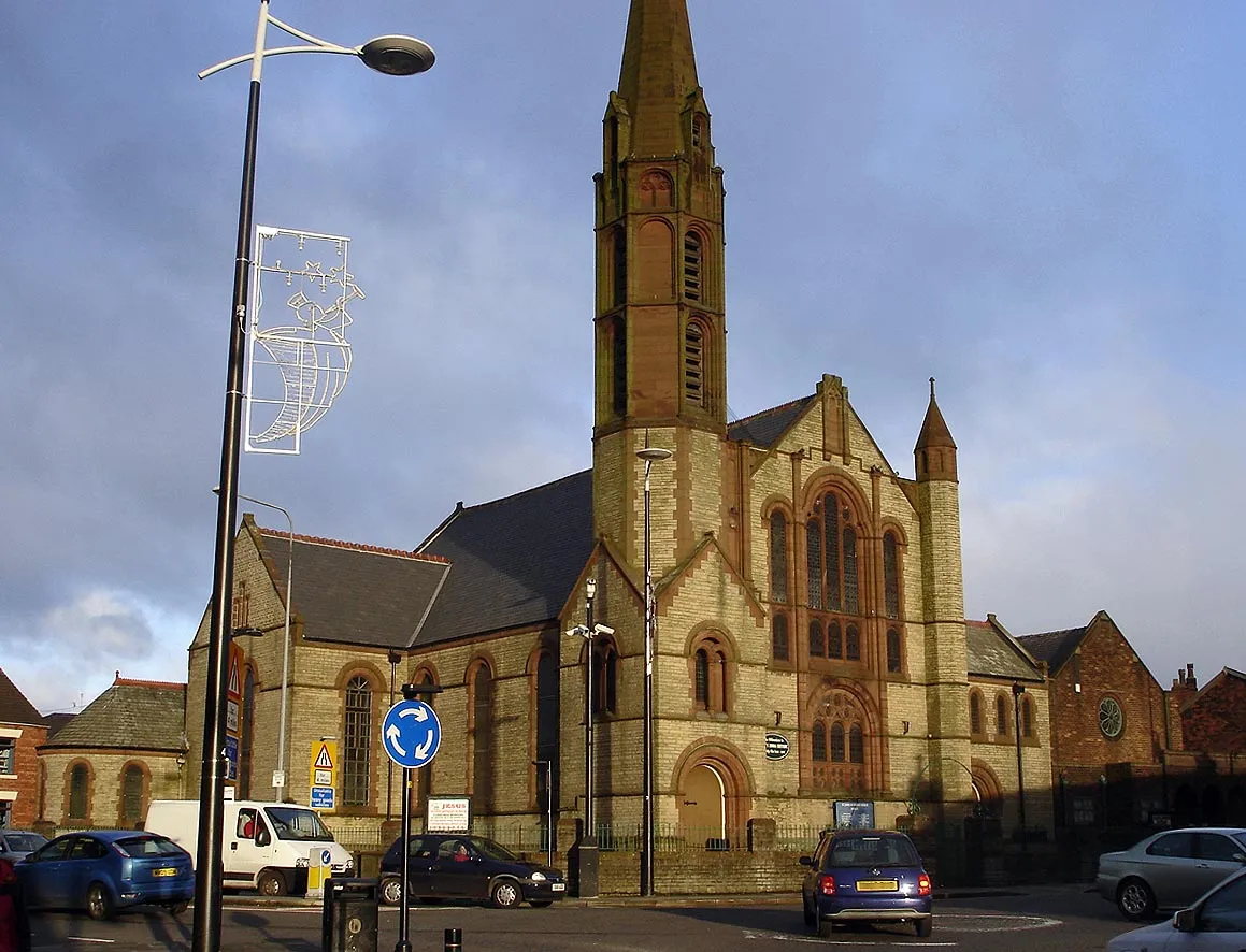
Golborne is a locality in Greater Manchester, United Kingdom. The area offers limited cycling opportunities, primarily consisting of short recreational rides or commuting on regular roads. There are no dedicated cycling lanes or infrastructure within the town, making cycling less convenient and safe. Golborne does not have any famous cycling-related spots or well-known climbs nearby. Therefore, it may not be an attractive destination for road and gravel cyclists. The locality is better suited for other leisure activities or may require traveling to nearby areas for better cycling options.

Experience the beauty of St Helens and challenge yourself with a ride to Chorley
Embark on an thrilling 87 km road route starting near Golborne. The route includes an ascent of 366 meters and takes you through Newton-le-Willows, St Helens, Westhead, Bretherton, Chorley, and Ince-in-Makerfield. Pedal through scenic countryside, quaint villages, and vibrant towns as you enjoy the challenge of this varied route.
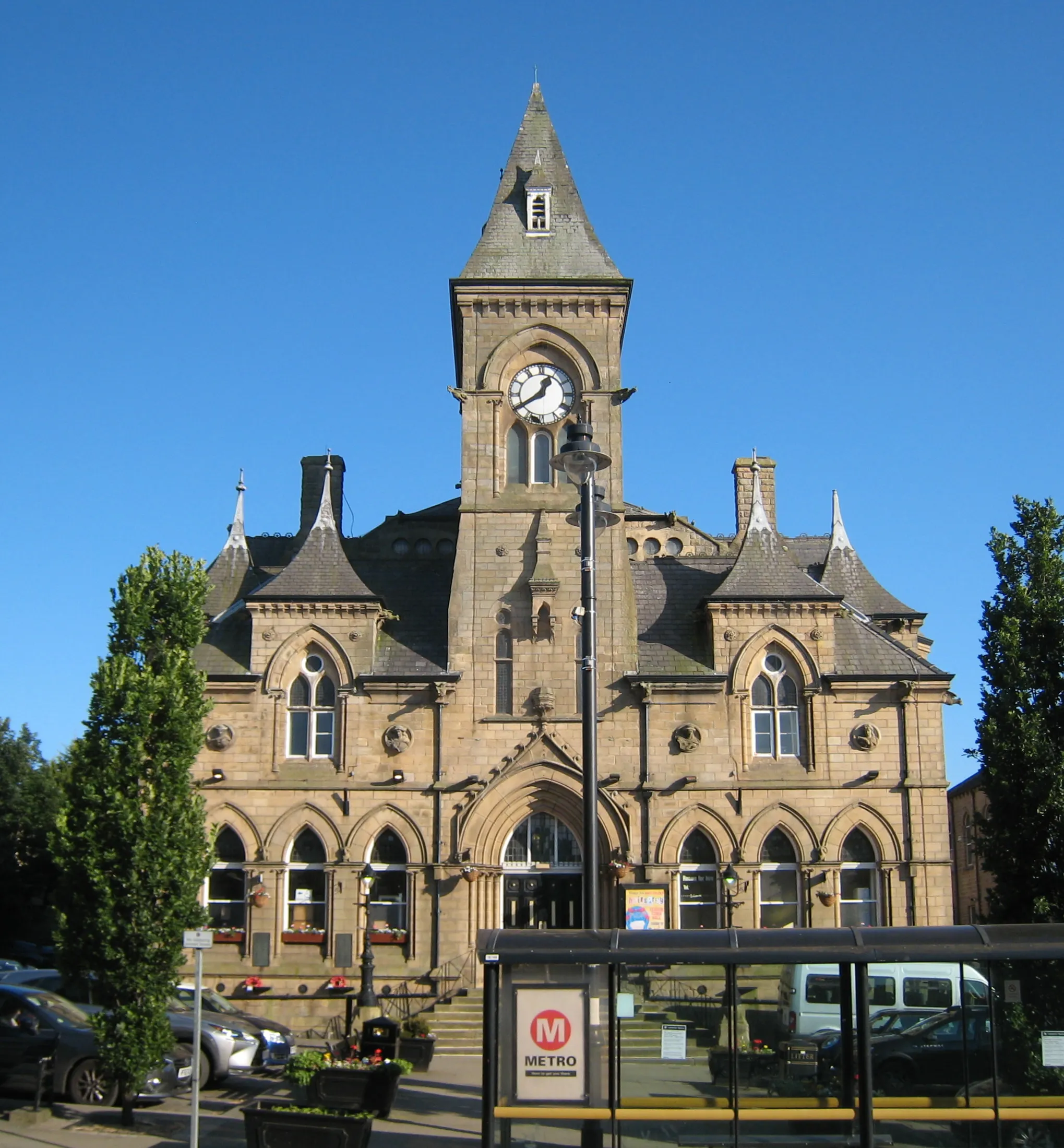
Childwall Pemberton Circular

Cycle through countryside and urban areas on this road route from Golborne
Embark on a 73 km road route starting near Golborne and discover the beauty of the countryside on your journey to Pemberton. The route includes an ascent of 282 meters and takes you through Golborne, Penketh, Childwall, and Pemberton. Experience the contrast between the serene rural landscapes and the lively streets of the towns.

A scenic gravel cycling route through Golborne and Lane Head
Embark on a scenic 32 km gravel cycling adventure that will take you from Golborne to Lane Head. This route, suitable for both road and gravel bikes, offers a relatively easy ride with a total ascent of 48 meters, making it ideal for beginners or those looking for a leisurely cycling experience. Along the way, you'll enjoy picturesque views of the countryside and explore charming villages and natural landscapes.
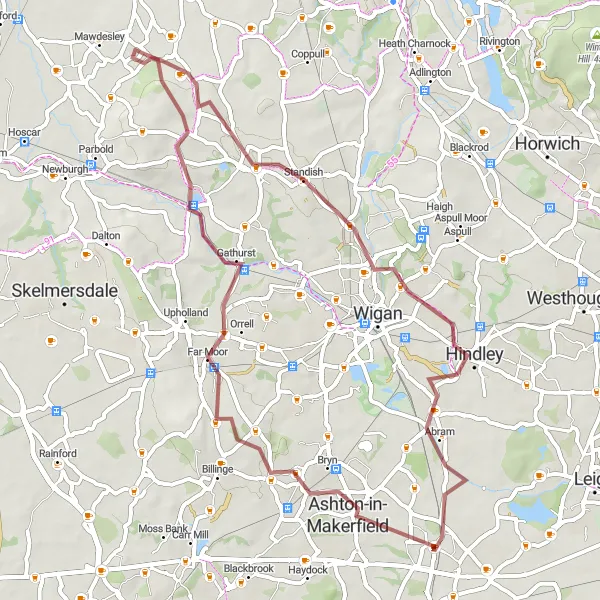
A gravel cycling tour exploring Ashton-in-Makerfield and Hindley
Embark on a gravel cycling tour that covers a distance of 52 km from Ashton-in-Makerfield to Hindley. This scenic route offers a moderate challenge with a total ascent of 377 meters, perfect for seasoned cyclists looking for an exhilarating adventure. Experience the beauty of Ashton-in-Makerfield's countryside and discover the charm of Hindley's historic landmarks along the way.
The Winwick Adventure

A thrilling road cycling route near Golborne
The Winwick Adventure is a thrilling road cycling route that takes you on an 81 km journey through scenic countryside near Golborne. You'll experience a total ascent of 544 meters, offering a moderate challenge for well-trained amateurs. The route showcases the beautiful landscapes of Greater Manchester and provides an opportunity to explore charming villages and towns along the way.
Widnes Circular
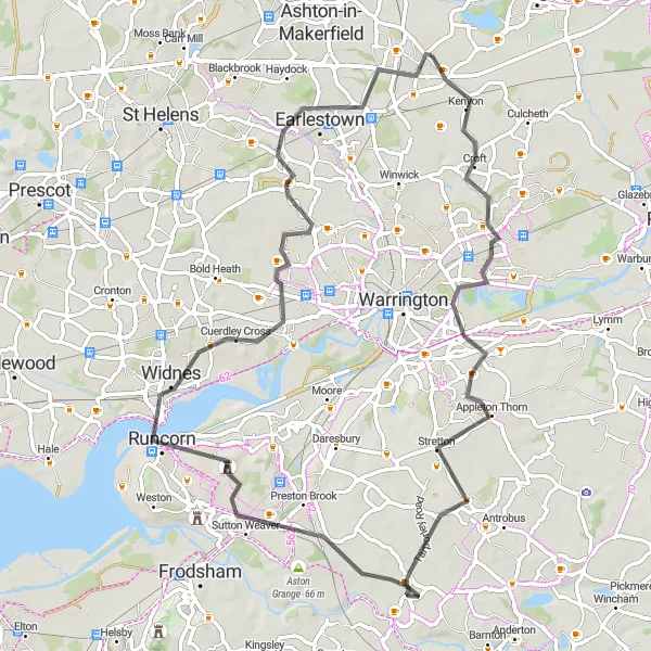
Discover the scenic landscapes surrounding Widnes on this road route
This 69 km road route starting near Golborne offers stunning views of the countryside around Widnes. The route includes an ascent of 247 meters and passes through Croft, Appleton Thorn, Sutton Weaver, Widnes, Penketh, and Golborne. Immerse yourself in the beauty of Cheshire's green landscapes and experience the charm of the local villages.
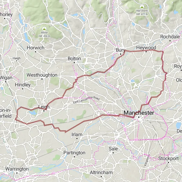
Experience the diverse landscapes as you cycle from Leigh to Harpurhey
Cycle on this 84 km gravel route starting near Golborne and explore the countryside between Leigh and Harpurhey. The route includes an ascent of 367 meters and takes you through Leigh, Bury, Harpurhey, Eccles, Glazebury, and Lowton Heath. Enjoy the mix of urban and rural landscapes, from industrial heritage sites to peaceful wooded valleys.

Embark on an adventurous gravel journey exploring West Lancashire's beautiful landscapes
This gravel route offers a scenic adventure through the charming countryside near Golborne and West Lancashire. Covering a distance of 76 kilometers and featuring an ascent of 471 meters, this route is recommended for experienced cyclists seeking a moderate challenge. Highlights along the way include the historic town of Ashton-in-Makerfield, the picturesque Appley Bridge, the serene village of Ulnes Walton, and the charming hamlet of Heath Charnock. Cyclists will also encounter the delightful village of Aspull and the industrial town of Platt Bridge. This route provides an opportunity to explore the diverse landscapes and rich history of the area.

A challenging road cycling route starting from Golborne
Take on the Golborne Challenge, a demanding road cycling route that spans over 92 km and includes a total ascent of 625 meters. This route offers a thrilling experience for well-trained amateur cyclists seeking an intense workout. Pass through picturesque towns, soak in breathtaking views, and conquer challenging climbs along the way. Starting and finishing in Golborne, this route means you never stray too far from the scenic charm that makes this area a remarkable destination for cycling enthusiasts.
Glazebury Loop
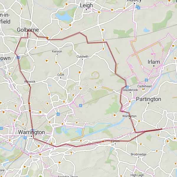
Cycle through Glazebury and experience the beauty of Lymm
Enjoy a scenic 47 km gravel route starting near Golborne. The route includes an ascent of 106 meters and passes through Glazebury, Lymm, Lymm Dam, Warrington, and Newton-le-Willows. Experience the peaceful countryside and lush greenery as you pedal through this picturesque route.
Cycling routes nearby:

Nearby regions: