![Cover image](https://images.tarmacs.app/cycling-routes/covers/united-kingdom/herefordshire-worcestershire-and-warwickshire/atherstone-5.webp)
Cycling paradise in rural England
Cycling routes from Atherstone
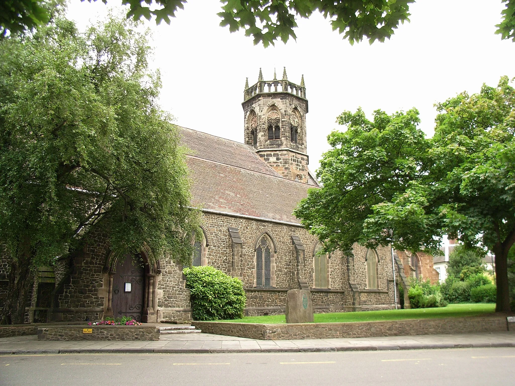
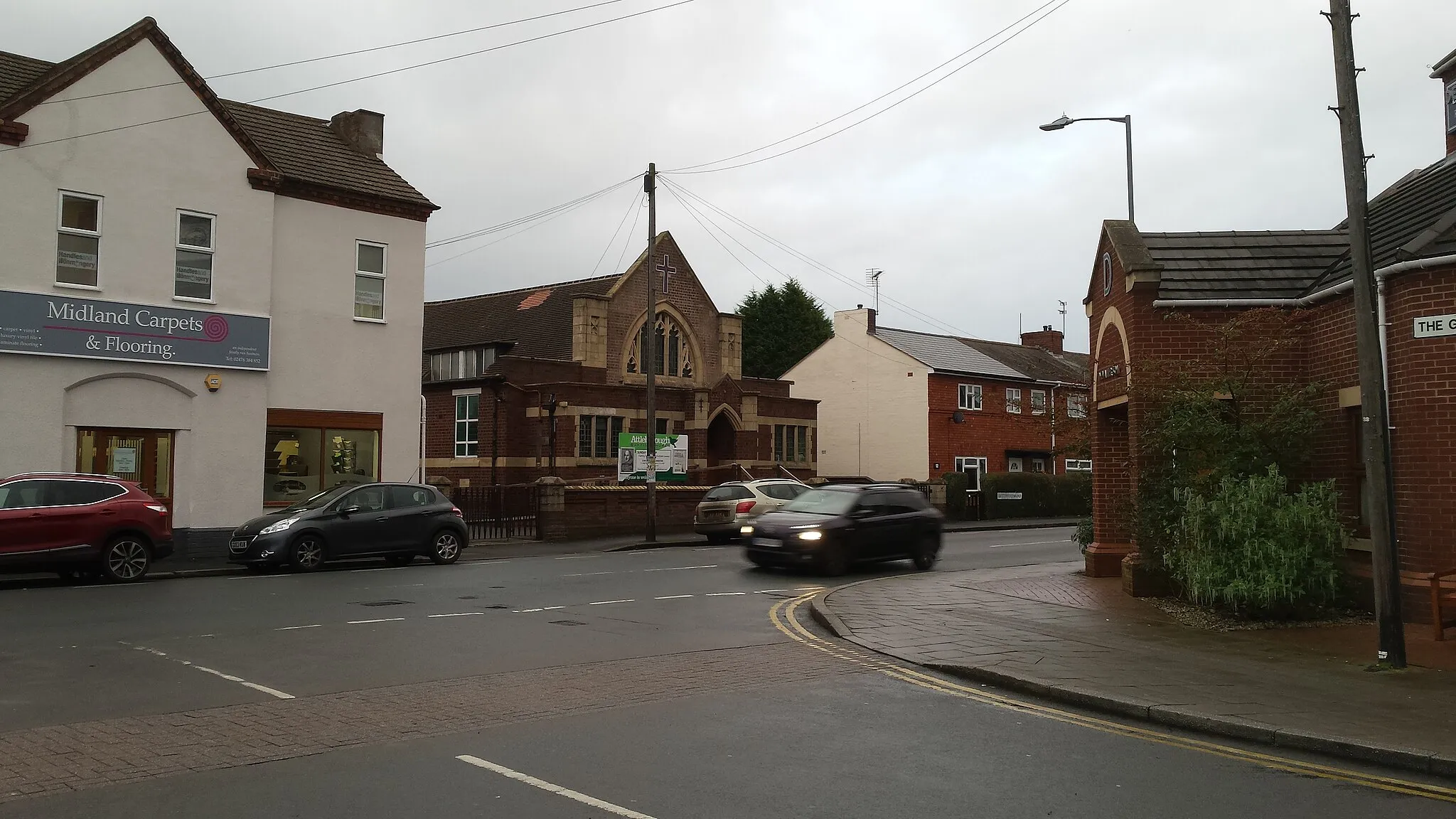
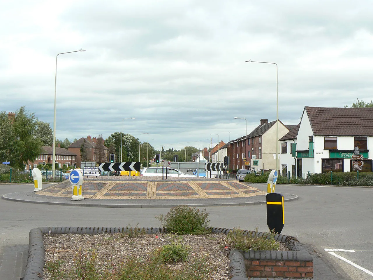
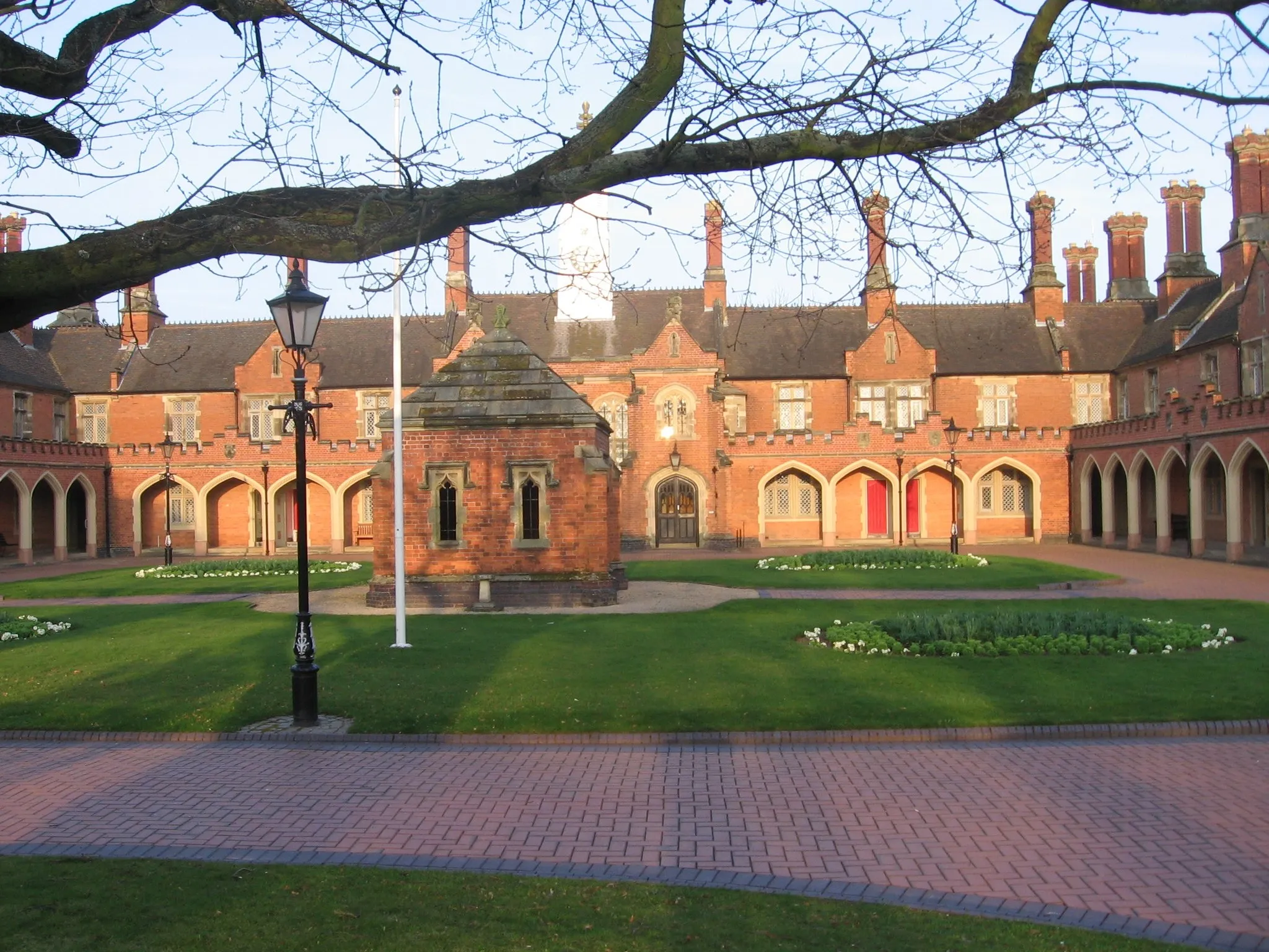
Atherstone, located in the United Kingdom's Herefordshire, Worcestershire and Warwickshire region, offers a pleasant cycling experience with its scenic views and quiet roads. The town is surrounded by picturesque countryside which makes it an ideal spot for road and gravel cyclists. One notable cycling route in the area is the Heart of England Way, which passes through Atherstone. With its relatively flat terrain and peaceful atmosphere, Atherstone is a popular choice for cyclists of all levels. Additionally, the town is known for its friendly locals who are always happy to provide assistance or recommendations to visiting cyclists. Overall, Atherstone is a great destination for a cycling getaway.
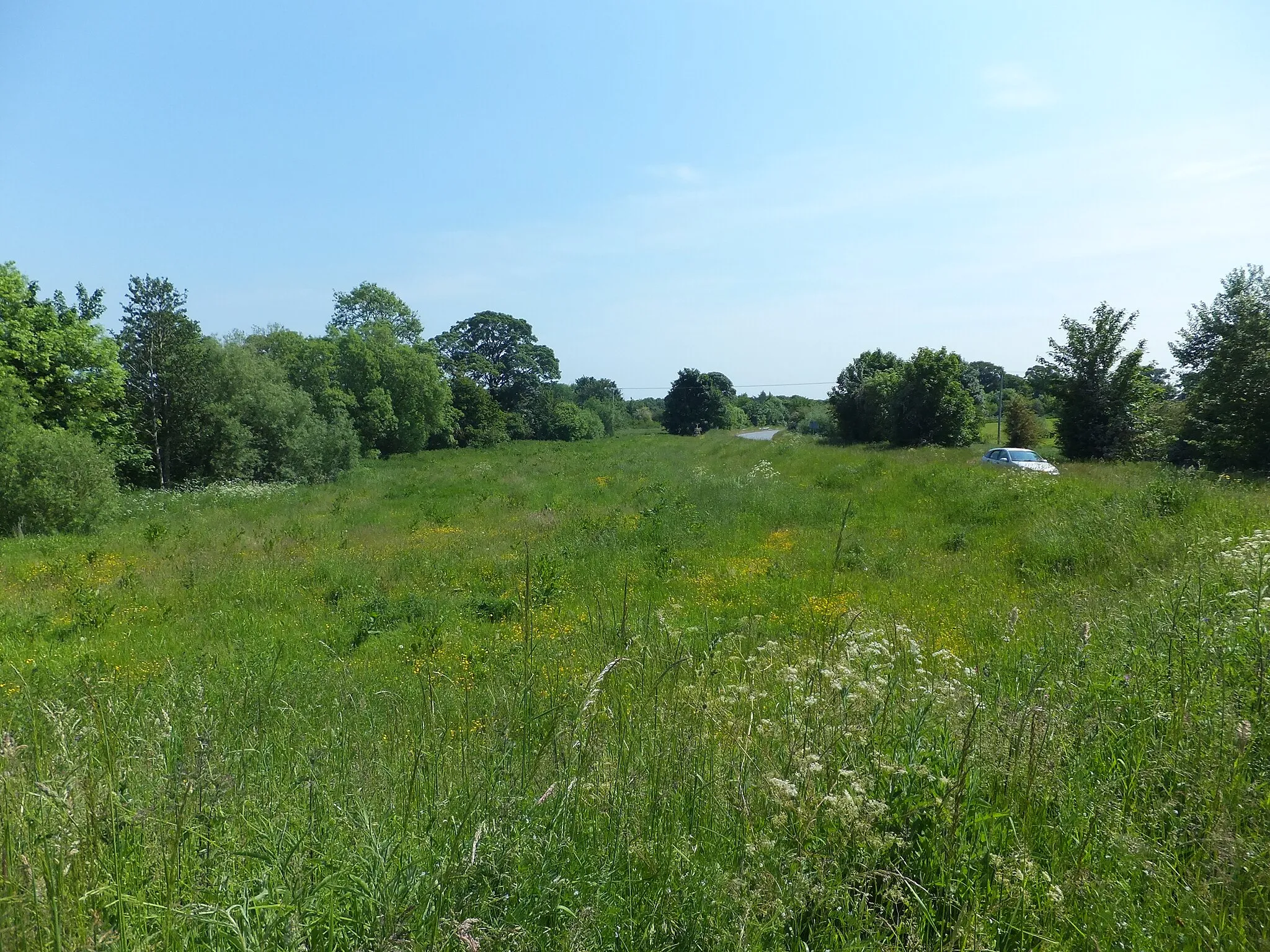
The Ansley Loop
![Map miniature of "The Ansley Loop" cycling inspiration in Herefordshire, Worcestershire and Warwickshire, United Kingdom. Generated by Tarmacs.app cycling route planner](https://images.tarmacs.app/cycling-routes/routemaps/600/united-kingdom/herefordshire-worcestershire-and-warwickshire/atherstone/road/2758.webp)
An exciting road route showcasing the picturesque village of Ansley.
The Ansley Loop is a scenic road cycling route that covers a total distance of 52 kilometers with an ascent of 335 meters. This route takes you through the stunning countryside of Herefordshire, Worcestershire, and Warwickshire, offering beautiful views and charming villages along the way. It is suitable for well-trained amateur cyclists looking to enjoy a moderately challenging ride with plenty of highlights along the route.
![Map miniature of "Atherstone to Mancetter Road Route" cycling inspiration in Herefordshire, Worcestershire and Warwickshire, United Kingdom. Generated by Tarmacs.app cycling route planner](https://images.tarmacs.app/cycling-routes/routemaps/600/united-kingdom/herefordshire-worcestershire-and-warwickshire/atherstone/road/2770.webp)
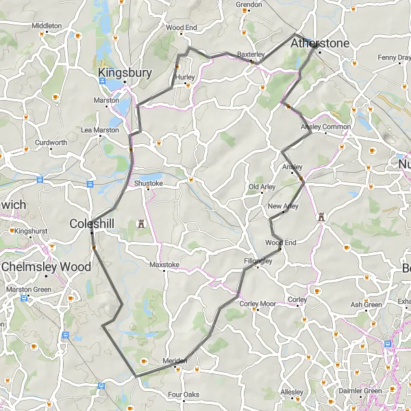
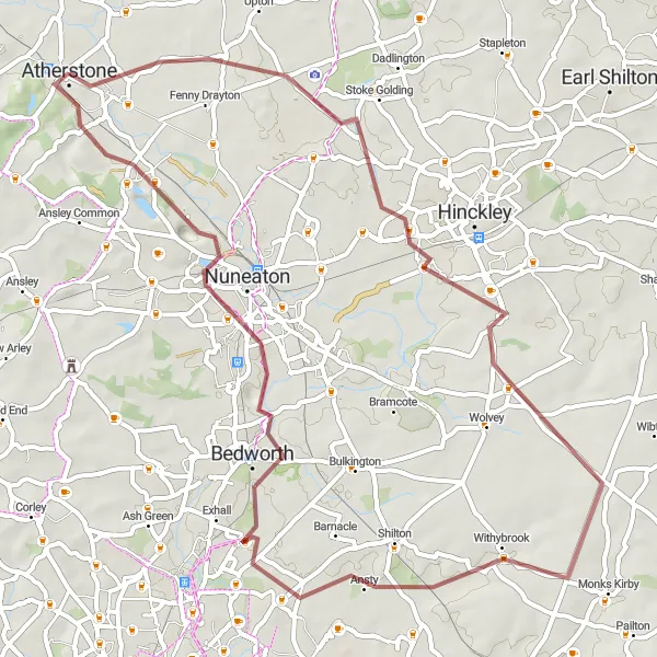
Embark on a challenging road cycling adventure from Atherstone to Mancetter, passing through historic landmarks and breathtaking landscapes.
This road route offers a challenging ride from Atherstone to Mancetter, with a total ascent of 635 meters and a distance of 118 kilometers. Highlights include Sutton Cheney, known for its connections to Richard III and the Bosworth Battlefield, as well as the stunning views from Cracks Hill and the historic Caludon Castle.
Fazeley Excursion
![Map miniature of "Fazeley Excursion" cycling inspiration in Herefordshire, Worcestershire and Warwickshire, United Kingdom. Generated by Tarmacs.app cycling route planner](https://images.tarmacs.app/cycling-routes/routemaps/600/united-kingdom/herefordshire-worcestershire-and-warwickshire/atherstone/road/2756.webp)
Experience the best of road cycling on the Fazeley Excursion.
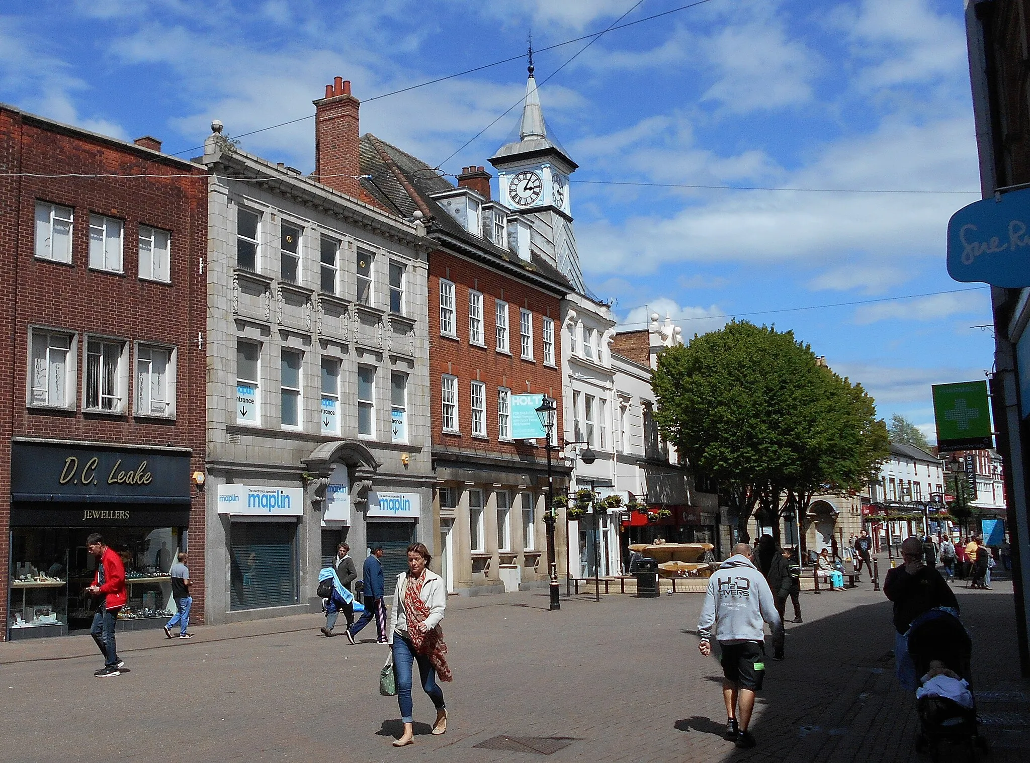
The Fazeley Excursion offers a thrilling road cycling experience covering a distance of 70 kilometers with an ascent of 363 meters. Starting near Atherstone, this route takes you through scenic locations, charming villages, and cultural landmarks. It is suitable for experienced amateurs looking for a challenging ride with plenty of highlights to enjoy. Fazeley, a village on this route, is known for its historic canal and beautifully restored buildings.
![Map miniature of "Atherstone to Maxstoke Road Route" cycling inspiration in Herefordshire, Worcestershire and Warwickshire, United Kingdom. Generated by Tarmacs.app cycling route planner](https://images.tarmacs.app/cycling-routes/routemaps/600/united-kingdom/herefordshire-worcestershire-and-warwickshire/atherstone/road/2764.webp)
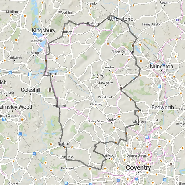
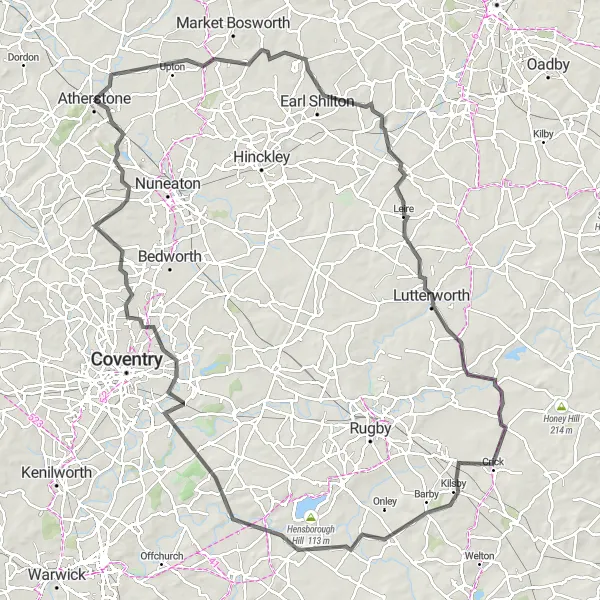
Embark on an epic road cycling adventure from Atherstone to Maxstoke, passing through scenic countryside and historic landmarks.
This road route offers a challenging but rewarding journey from Atherstone to Maxstoke. With a total ascent of 467 meters and a distance of 65 kilometers, it is recommended for experienced cyclists. Highlights of the route include the picturesque village of Astley, the historic sites of Keresley and Allesley, and the beautiful Maxstoke Castle.
![Map miniature of "Curdworth Gravel Adventure" cycling inspiration in Herefordshire, Worcestershire and Warwickshire, United Kingdom. Generated by Tarmacs.app cycling route planner](https://images.tarmacs.app/cycling-routes/routemaps/600/united-kingdom/herefordshire-worcestershire-and-warwickshire/atherstone/gravel/2751.webp)
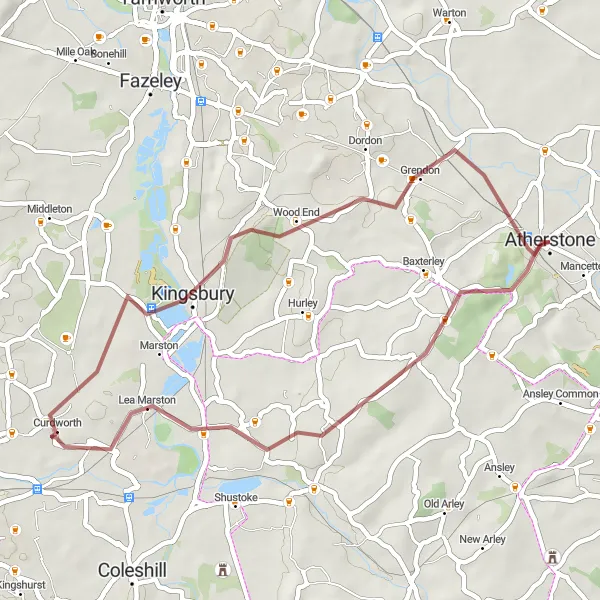
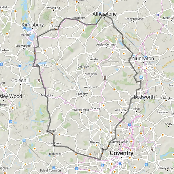
Embark on a thrilling gravel adventure through the enchanting village of Curdworth.
The Curdworth Gravel Adventure is a 38-kilometer route ideal for adventurous gravel cyclists. With an elevation gain of 287 meters, this route takes you on a thrilling ride through the peaceful countryside near Atherstone. It provides both challenging sections and serene vistas, making it a great choice for intermediate riders seeking a unique cycling experience. Curdworth, located on the route, stands out as a charming village with its traditional houses and an inviting atmosphere.
![Map miniature of "Atherstone to Nuneaton Gravel Route" cycling inspiration in Herefordshire, Worcestershire and Warwickshire, United Kingdom. Generated by Tarmacs.app cycling route planner](https://images.tarmacs.app/cycling-routes/routemaps/600/united-kingdom/herefordshire-worcestershire-and-warwickshire/atherstone/gravel/2763.webp)
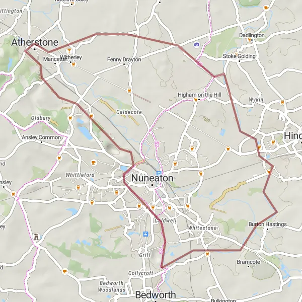
Experience the historic Battle of Bosworth and explore charming villages along this scenic gravel route.
This gravel route takes you from Atherstone to Nuneaton, with highlights including the Battle of Bosworth site and picturesque villages like Burton Hastings and Hartshill. It is a moderate difficulty route with a total ascent of 66 meters and a distance of 37 kilometers. The route offers a great mix of countryside views and historic landmarks.
![Map miniature of "Atherstone to Witherley Gravel Route" cycling inspiration in Herefordshire, Worcestershire and Warwickshire, United Kingdom. Generated by Tarmacs.app cycling route planner](https://images.tarmacs.app/cycling-routes/routemaps/600/united-kingdom/herefordshire-worcestershire-and-warwickshire/atherstone/gravel/2775.webp)
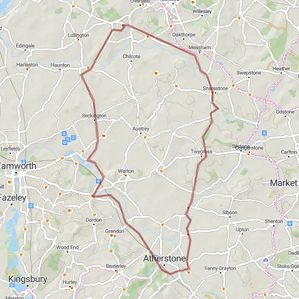
Experience a scenic gravel ride from Atherstone to Witherley, passing through charming villages and picturesque landscapes.
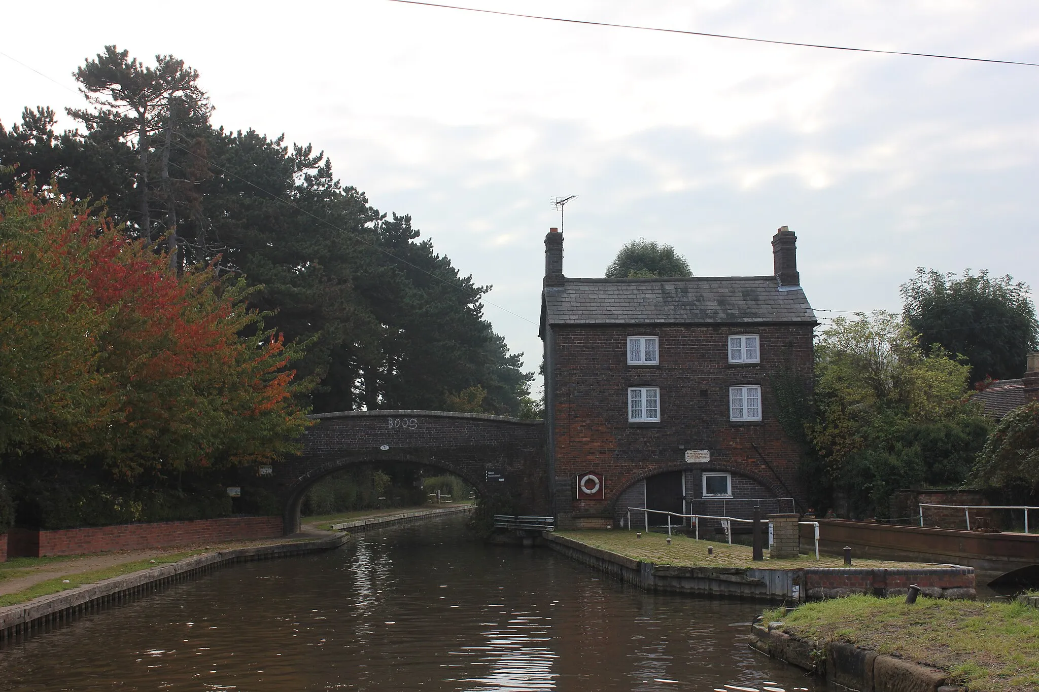
This gravel route takes cyclists from Atherstone to Witherley, with a total ascent of 237 meters and a distance of 48 kilometers. Highlights include Seckington, a peaceful village surrounded by fields and woodlands, and Snarestone, known for its tranquil canal and beautiful surroundings.
![Map miniature of "Atherstone to Hartshill Gravel Route" cycling inspiration in Herefordshire, Worcestershire and Warwickshire, United Kingdom. Generated by Tarmacs.app cycling route planner](https://images.tarmacs.app/cycling-routes/routemaps/600/united-kingdom/herefordshire-worcestershire-and-warwickshire/atherstone/gravel/2765.webp)
Enjoy a scenic gravel ride from Atherstone to Hartshill, passing through historic landmarks and beautiful countryside.
This gravel route offers a moderate difficulty ride from Atherstone to Hartshill. With a total ascent of 138 meters and a distance of 57 kilometers, it provides a great opportunity to explore historic sites such as the Battle of Bosworth and enjoy the scenic beauty of Copston Magna.
Mancetter Road Discovery
![Map miniature of "Mancetter Road Discovery" cycling inspiration in Herefordshire, Worcestershire and Warwickshire, United Kingdom. Generated by Tarmacs.app cycling route planner](https://images.tarmacs.app/cycling-routes/routemaps/600/united-kingdom/herefordshire-worcestershire-and-warwickshire/atherstone/road/2761.webp)
Embark on an adventurous road discovery through picturesque Mancetter.
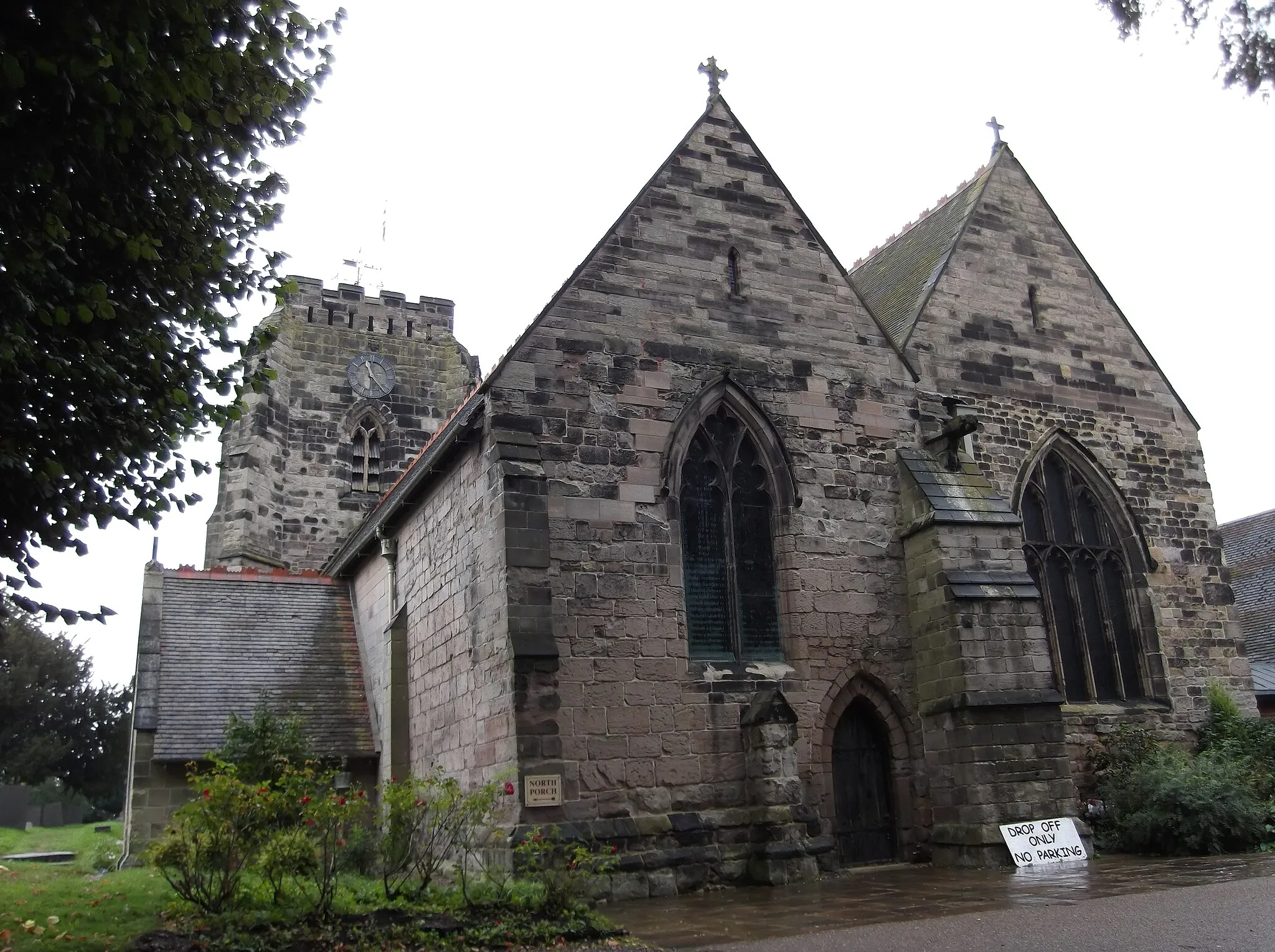
The Mancetter Road Discovery takes you on a thrilling cycling journey covering a distance of 62 kilometers with an ascent of 399 meters. This road route showcases the beautiful landscapes of Herefordshire, Worcestershire, and Warwickshire. Well-trained amateur cyclists seeking a challenge will enjoy the various terrains and cultural landmarks along the way. Mancetter, a notable highlight, offers a picturesque village atmosphere with its traditional cottages and welcoming locals.
![Map miniature of "Hints Gravel Challenge" cycling inspiration in Herefordshire, Worcestershire and Warwickshire, United Kingdom. Generated by Tarmacs.app cycling route planner](https://images.tarmacs.app/cycling-routes/routemaps/600/united-kingdom/herefordshire-worcestershire-and-warwickshire/atherstone/gravel/2762.webp)
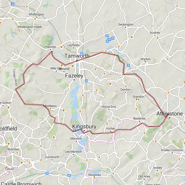
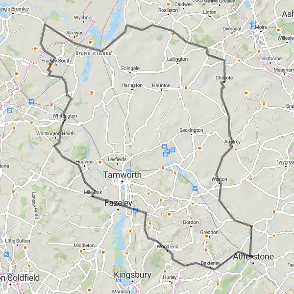
Embark on a thrilling gravel challenge through the Hints countryside.
The Hints Gravel Challenge covers a distance of 50 kilometers with an elevation gain of 322 meters. This route offers adventurous gravel cycling through the picturesque countryside near Atherstone. Enjoy serene views and quiet roads as you ride through Hints, Tamworth, Polesworth, and Whittington. The route includes both easy and challenging sections, ensuring a rewarding experience for avid gravel cyclists.
Cycling routes nearby:
![Image of Hartshill](https://images.tarmacs.app/cycling-routes/covers/united-kingdom/herefordshire-worcestershire-and-warwickshire/hartshill-5.webp)
![Image of Polesworth](https://images.tarmacs.app/cycling-routes/covers/united-kingdom/herefordshire-worcestershire-and-warwickshire/polesworth-5.webp)
![Image of Nuneaton](https://images.tarmacs.app/cycling-routes/covers/united-kingdom/herefordshire-worcestershire-and-warwickshire/nuneaton-5.webp)
![Image of Kingsbury](https://images.tarmacs.app/cycling-routes/covers/united-kingdom/herefordshire-worcestershire-and-warwickshire/kingsbury-5.webp)
![Image of Stoke Golding](https://images.tarmacs.app/cycling-routes/covers/united-kingdom/leicestershire-rutland-and-northamptonshire/stoke-golding-5.webp)
![Image of Attleborough](https://images.tarmacs.app/cycling-routes/covers/united-kingdom/herefordshire-worcestershire-and-warwickshire/attleborough-5.webp)
![Image of Fazeley](https://images.tarmacs.app/cycling-routes/covers/united-kingdom/shropshire-and-staffordshire/fazeley-5.webp)
![Image of Bedworth](https://images.tarmacs.app/cycling-routes/covers/united-kingdom/herefordshire-worcestershire-and-warwickshire/bedworth-4.webp)
Nearby regions:
![Image of Derbyshire and Nottinghamshire](https://images.tarmacs.app/cycling-routes/covers/united-kingdom/derbyshire-and-nottinghamshire/boughton-1.webp)
![Image of Leicestershire, Rutland and Northamptonshire](https://images.tarmacs.app/cycling-routes/covers/united-kingdom/leicestershire-rutland-and-northamptonshire/kegworth-3.webp)
![Image of Shropshire and Staffordshire](https://images.tarmacs.app/cycling-routes/covers/united-kingdom/shropshire-and-staffordshire/cheadle-1.webp)
![Image of West Midlands](https://images.tarmacs.app/cycling-routes/covers/united-kingdom/west-midlands/halesowen-2.webp)
![Image of Bedfordshire and Hertfordshire](https://images.tarmacs.app/cycling-routes/covers/united-kingdom/bedfordshire-and-hertfordshire/hertford-1.webp)
![Image of Berkshire, Buckinghamshire and Oxfordshire](https://images.tarmacs.app/cycling-routes/covers/united-kingdom/berkshire-buckinghamshire-and-oxfordshire/loudwater-5.webp)
![Image of Gloucestershire, Wiltshire and Bristol/Bath area](https://images.tarmacs.app/cycling-routes/covers/united-kingdom/gloucestershire-wiltshire-and-bristol-bath-area/swindon-3.webp)
![Image of West Wales and The Valleys](https://images.tarmacs.app/cycling-routes/covers/united-kingdom/west-wales-and-the-valleys/ebbw-vale-5.webp)
![Image of East Wales](https://images.tarmacs.app/cycling-routes/covers/united-kingdom/east-wales/coedpoeth-2.webp)