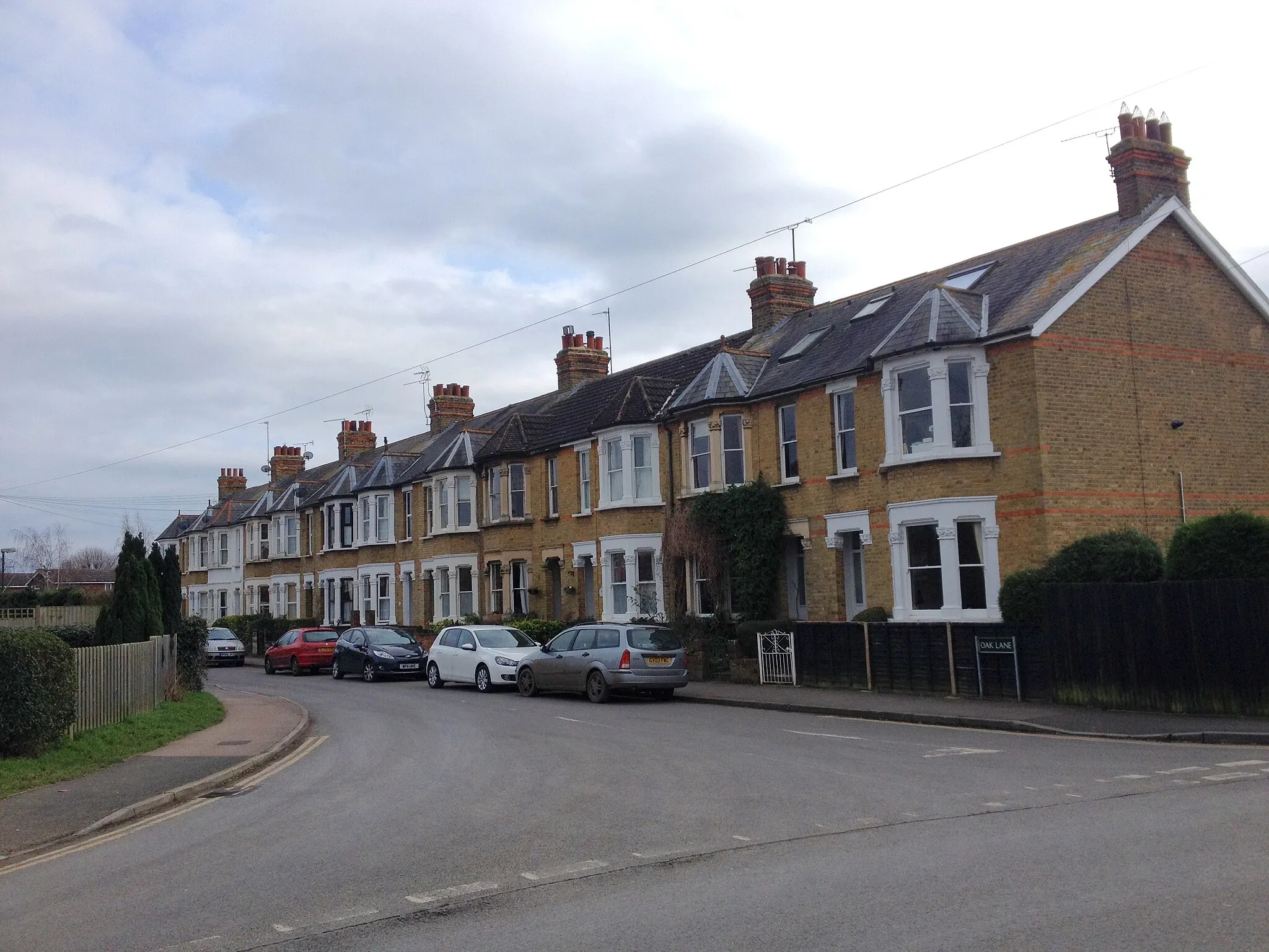
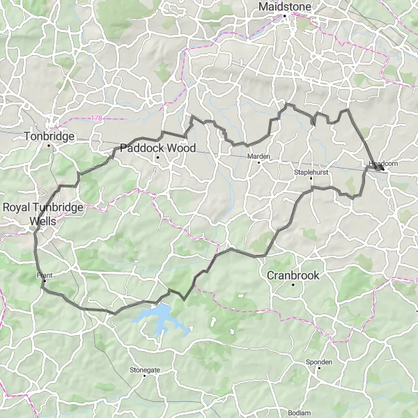
Cycling paradise with access to White Cliffs of Dover
Cycling routes from Headcorn
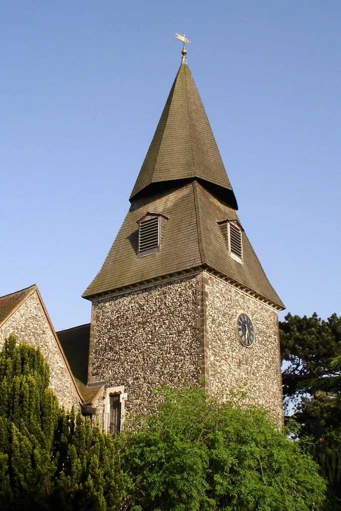
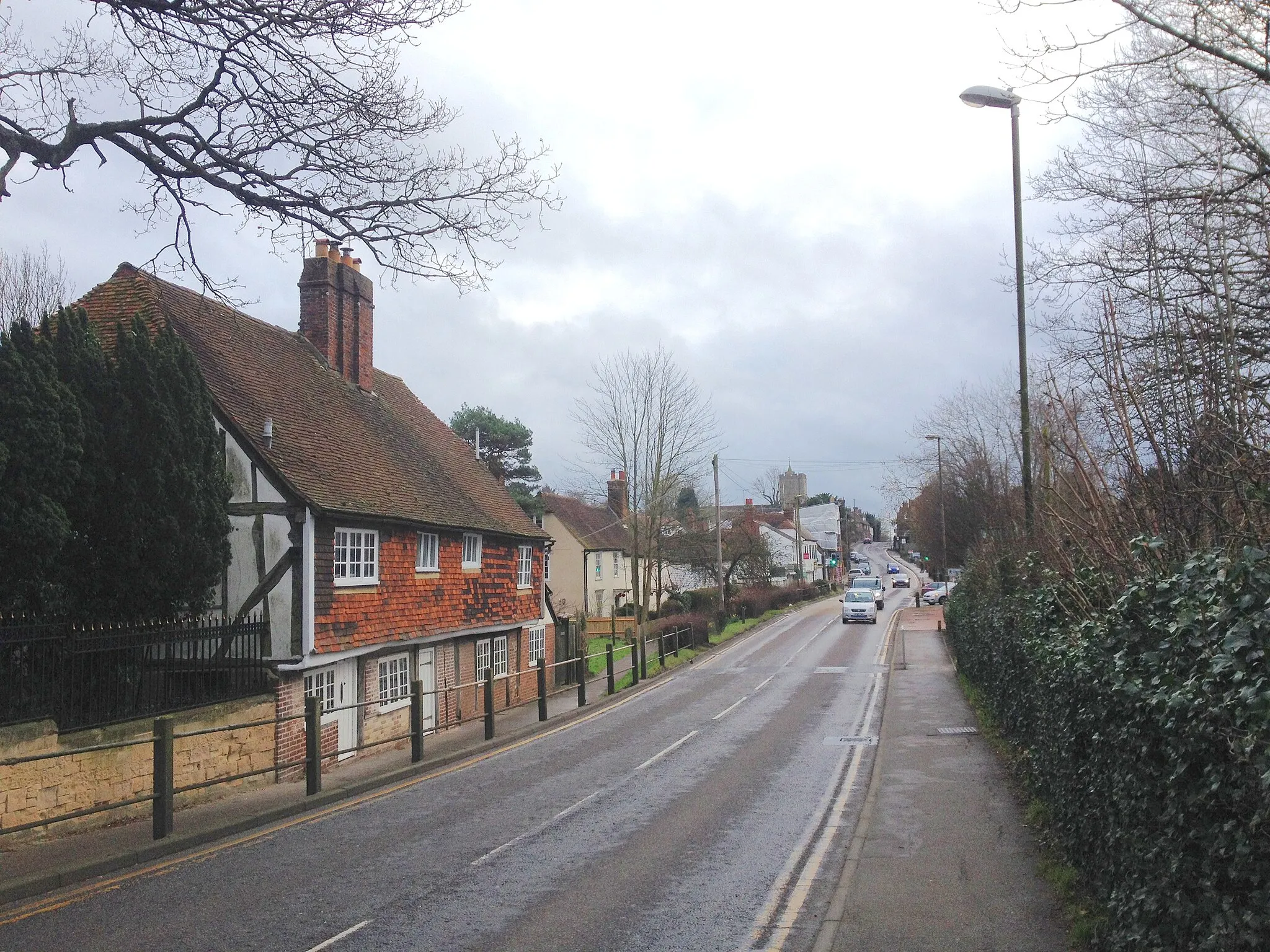
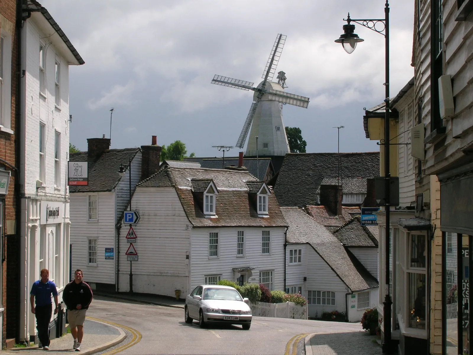
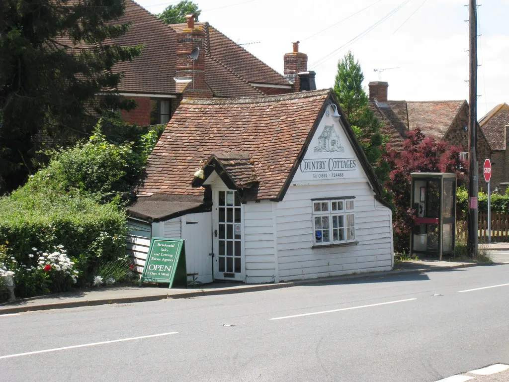
Headcorn, situated in Kent, United Kingdom, is a cyclist's delight with its scenic routes and well-maintained roads. The town provides easy access to many well-known cycling spots, including the White Cliffs of Dover and the South Downs National Park. Cyclists visiting Headcorn can enjoy a combination of challenging climbs and breathtaking views. Overall, Headcorn ranks 4 as a cyclist-friendly area with its diverse terrain and proximity to famous cycling spots.
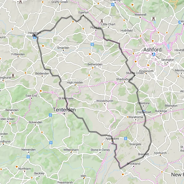
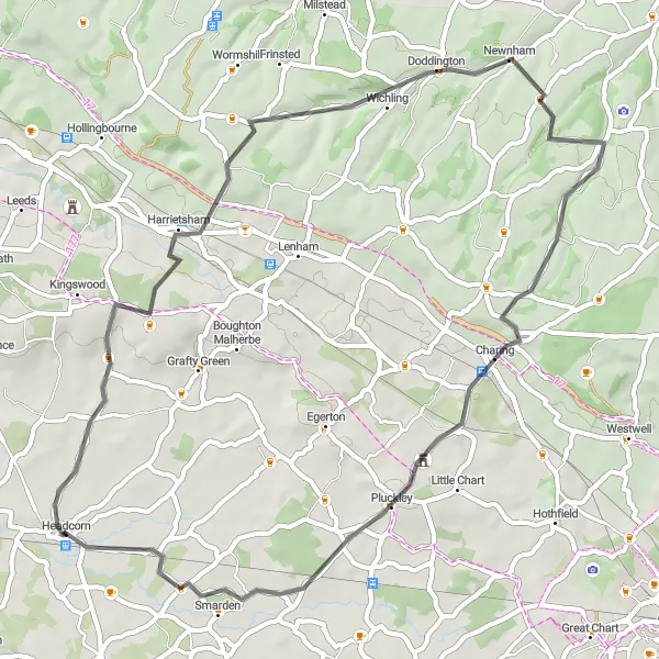
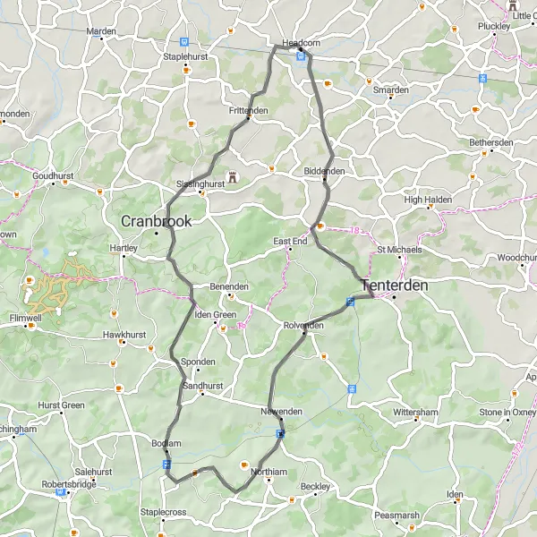
Explore the scenic route from Headcorn to Tenterden
Embark on this road cycling route from Headcorn to Tenterden, spanning a distance of 69 kilometers with an ascent of 293 meters. Suitable for well-trained amateurs, this route showcases the natural beauty of the Kent countryside. Highlights include Pluckley, Shadoxhurst, Brenzett, and Tenterden. These locations offer a mix of historical landmarks and picturesque landscapes. As you ride through this route, you'll be treated to rolling hills and charming scenery. Overall, this route provides a delightful combination of cycling challenges and mesmerizing surroundings.
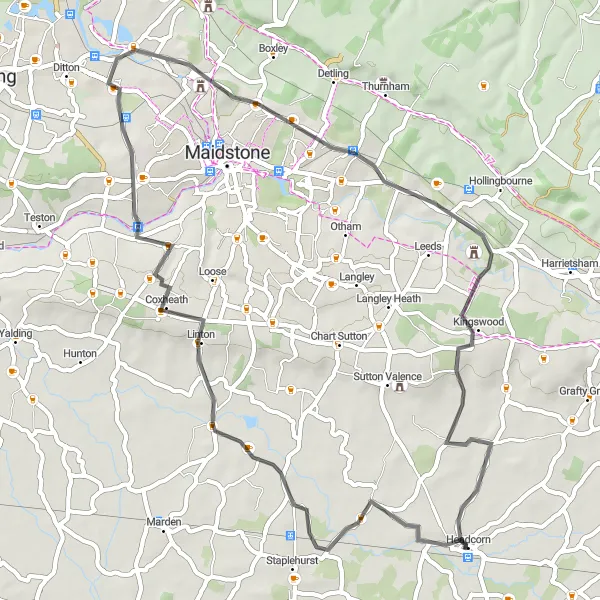
Headcorn to Staplehurst Loop
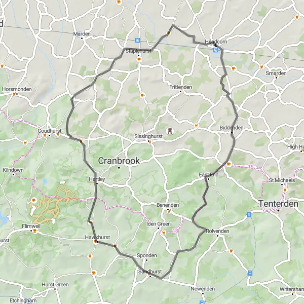
Experience the beauty of Headcorn to Staplehurst
Embark on a picturesque road cycling route from Headcorn to Staplehurst, covering a distance of 51 kilometers with an ascent of 403 meters. Designed for well-trained amateurs seeking a manageable challenge, this route offers beautiful countryside views and charming villages. Highlights along the way include Biddenden, Sandhurst, and Staplehurst. These highlights boast serene surroundings, historic buildings, and peaceful atmospheres, making them ideal spots to rest and take in the scenery. Throughout this route, expect rolling hills, quaint settlements, and idyllic farmland. Overall, this route provides a delightful blend of cycling enjoyment and natural splendor.
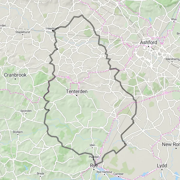
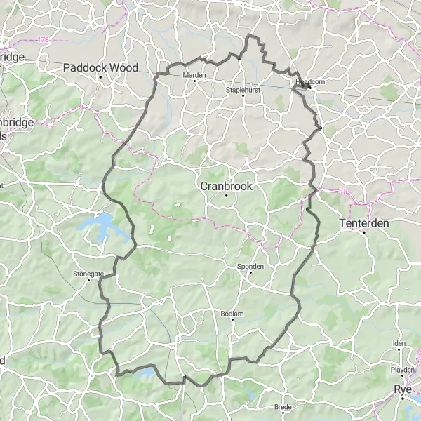
Picturesque route from Headcorn to Rye
This distinct route takes you from Headcorn to Rye, offering stunning countryside views along the way. With a total distance of 84 kilometers and an ascent of 523 meters, this road cycling route is suitable for well-trained amateurs. The route highlights include Bethersden, Warehorne, Rye, Newenden, and East End. These highlights combine historical charm with breathtaking landscapes, making them worth stopping by. Overall, this route offers a perfect balance between scenic beauty and cycling challenges.
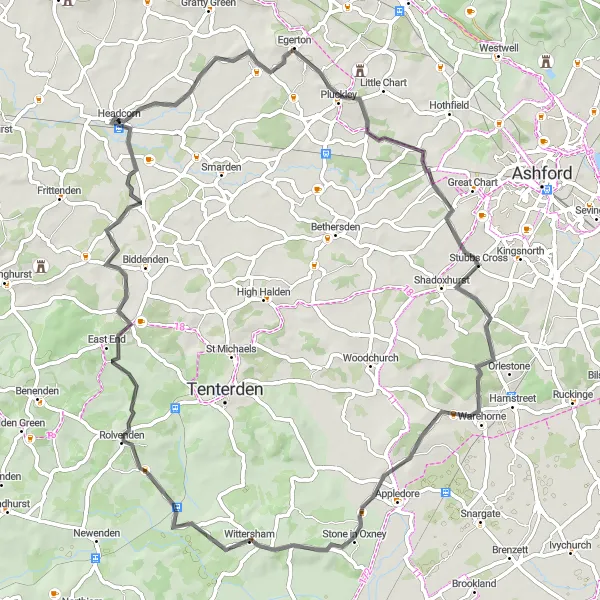
Headcorn to Charing Loop
Experience the scenic Headcorn to Charing route
Discover the beauty of the Kentish countryside with this road cycling route from Headcorn to Charing. Stretching over 51 kilometers and featuring an ascent of 476 meters, this versatile route is suitable for well-trained amateurs seeking a moderate challenge. Highlights along the way include Ulcombe, Harrietsham, Wichling, Charing, Pluckley, and Smarden. These highlights offer a mix of traditional English charm, historic landmarks, and beautiful landscapes. As you cycle through this route, you'll be captivated by rolling hills, ancient villages, and scenic viewpoints. Overall, this route provides a delightful escape into Kent's natural and cultural treasures.
Enjoy pleasant country roads and visit the historic Leeds Castle along the way.
Cycle from Headcorn on a circular route that takes you through scenic countryside and brings you to the beautiful Leeds Castle. With a distance of 51 km and an ascent of 431 m, this route is suitable for cyclists of all levels, presenting a relatively moderate challenge. As you pedal through Cross-at-Hand and Aylesford, you'll encounter peaceful rural landscapes and charming Kentish towns. Leeds Castle, known as the 'loveliest castle in the world,' is a major highlight of this route, offering a fascinating glimpse into heritage and grandeur.
Experience the beauty of the Kent countryside and enjoy challenging climbs along the way.
This circular road cycling route starting near Headcorn takes you on a journey through the scenic landscapes of Kent. You'll pass through Newenden, Brightling, Lamberhurst, and Cross-at-Hand, experiencing both challenging climbs and breathtaking descents. With a distance of 96 km and an ascent of 954 m, this route is suitable for experienced cyclists seeking a moderate to challenging ride. The route offers a mix of picturesque countryside, quaint villages, and historic landmarks, making it a memorable cycling experience.
Headcorn to Rolvenden Loop
Scenic route from Headcorn to Rolvenden through charming villages
Enjoy a scenic road cycling route from Headcorn to Rolvenden, covering a distance of 69 kilometers and boasting an ascent of 412 meters. This route is suitable for well-trained amateurs seeking a mix of countryside charm and moderate challenges. The highlights along this route include Pluckley, Warehorne, Wittersham, and Rolvenden Layne. Each of these locations offers unique features, from haunted legends to ancient churches. As you pedal through this route, expect rolling hills, quaint villages, and idyllic landscapes. Overall, this route strikes a harmonious balance between historical intrigue and natural beauty.
Cycle through picturesque villages and enjoy the views of the beautiful countryside.
This round-trip cycling route starting near Headcorn takes you through the charming towns and villages of Staplehurst, Frant, Paddock Wood, Collier Street, and Sutton Valence. Along the way, you'll pass through scenic countryside, with rolling hills and lush greenery. The route is relatively moderate in difficulty, suitable for well-trained amateur cyclists. With a distance of 81 km and an ascent of 600 m, it offers a balanced challenge for experienced riders.
Discover the beauty of rural Kent and visit the iconic Bodiam Castle along the way.
Embark on a cycling adventure from Headcorn to Bodiam Castle, passing through lovely towns and villages such as Biddenden, Northiam, Cranbrook, and Frittenden. Enjoy the scenic countryside of Kent as you pedal along this 56 km route with an ascent of 567 m. The road is suitable for cyclists with a moderate fitness level, offering a pleasant balance of gentle inclines and downhill stretches. Arriving at Bodiam Castle, a 14th-century moated castle, is undoubtedly the highlight of the route, providing a glimpse into medieval history.

A thrilling off-road adventure with stunning Kentish countryside views.
Embark on a gravel adventure starting near Headcorn, Kent, and explore the scenic routes. Experience the beauty of the Kentish countryside with its rolling hills and picturesque villages. This route is perfect for adventurous cyclists looking to escape the bustling roads and immerse themselves in nature. With a combination of off-road tracks and quiet country lanes, this route offers a unique cycling experience. Enjoy the challenge of the climbs and be rewarded with breathtaking panoramic views.
Cycling routes nearby:

Nearby regions: