Breath-Taking Cycles amidst Nature
Cycling routes from Barrowford
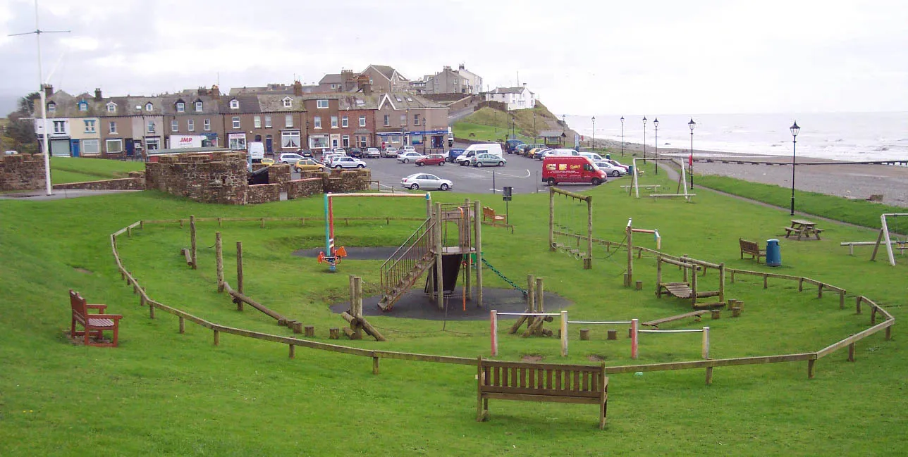
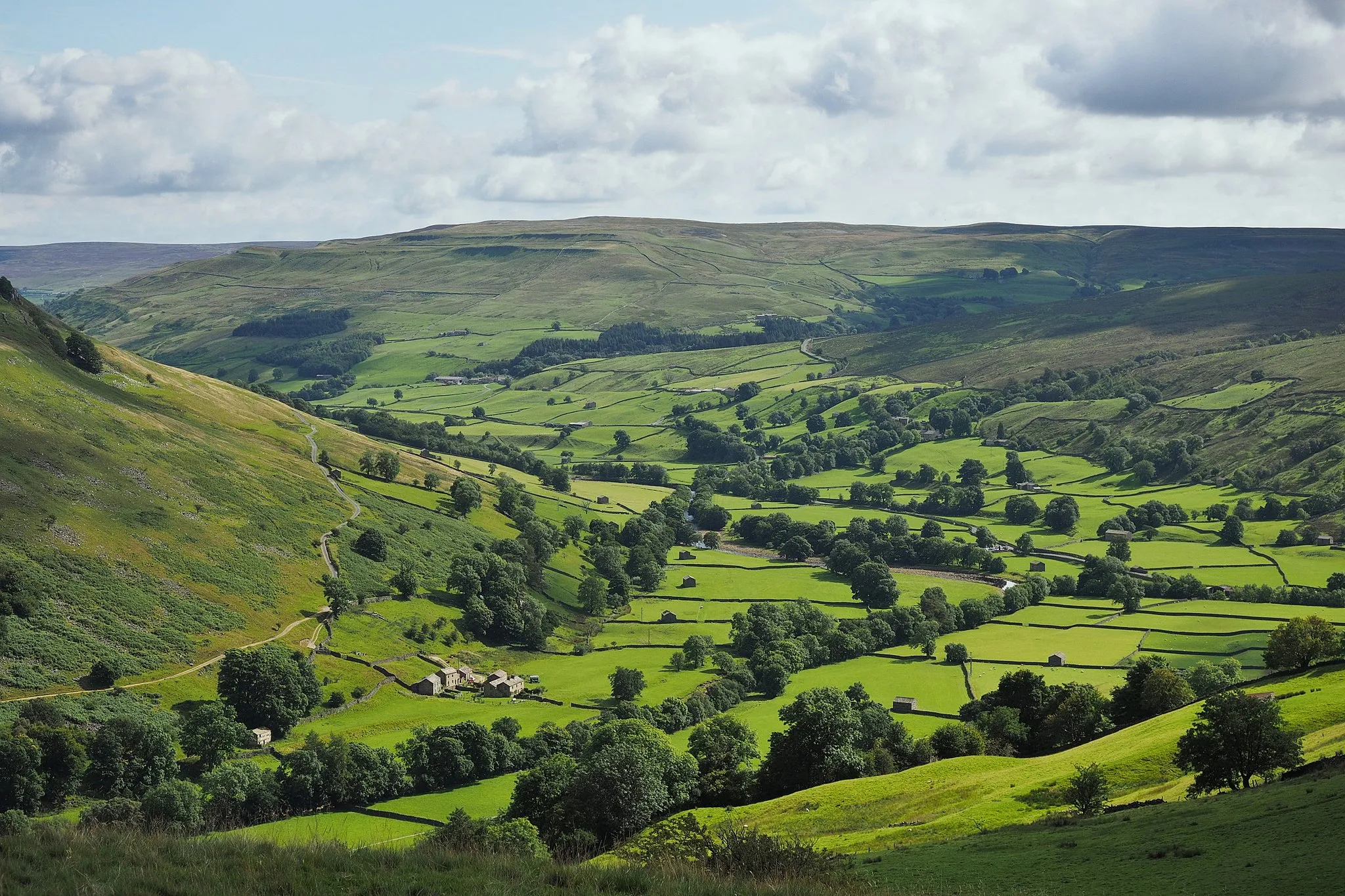
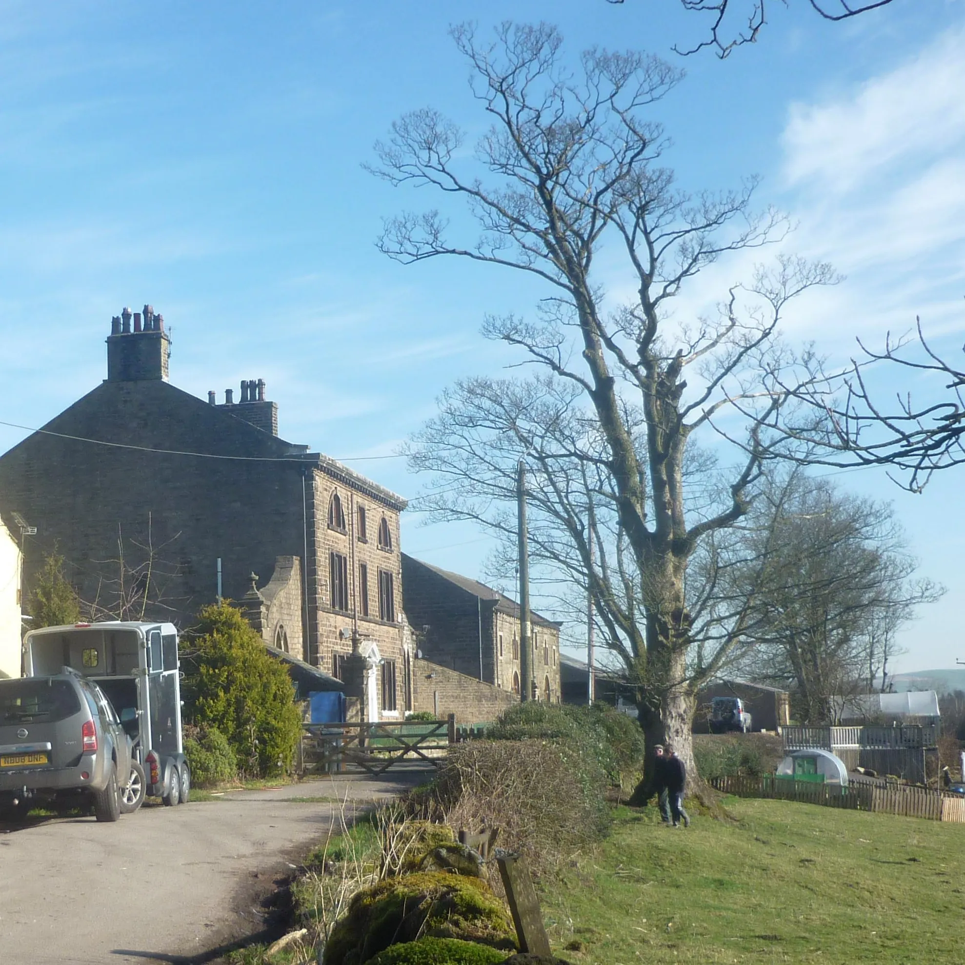
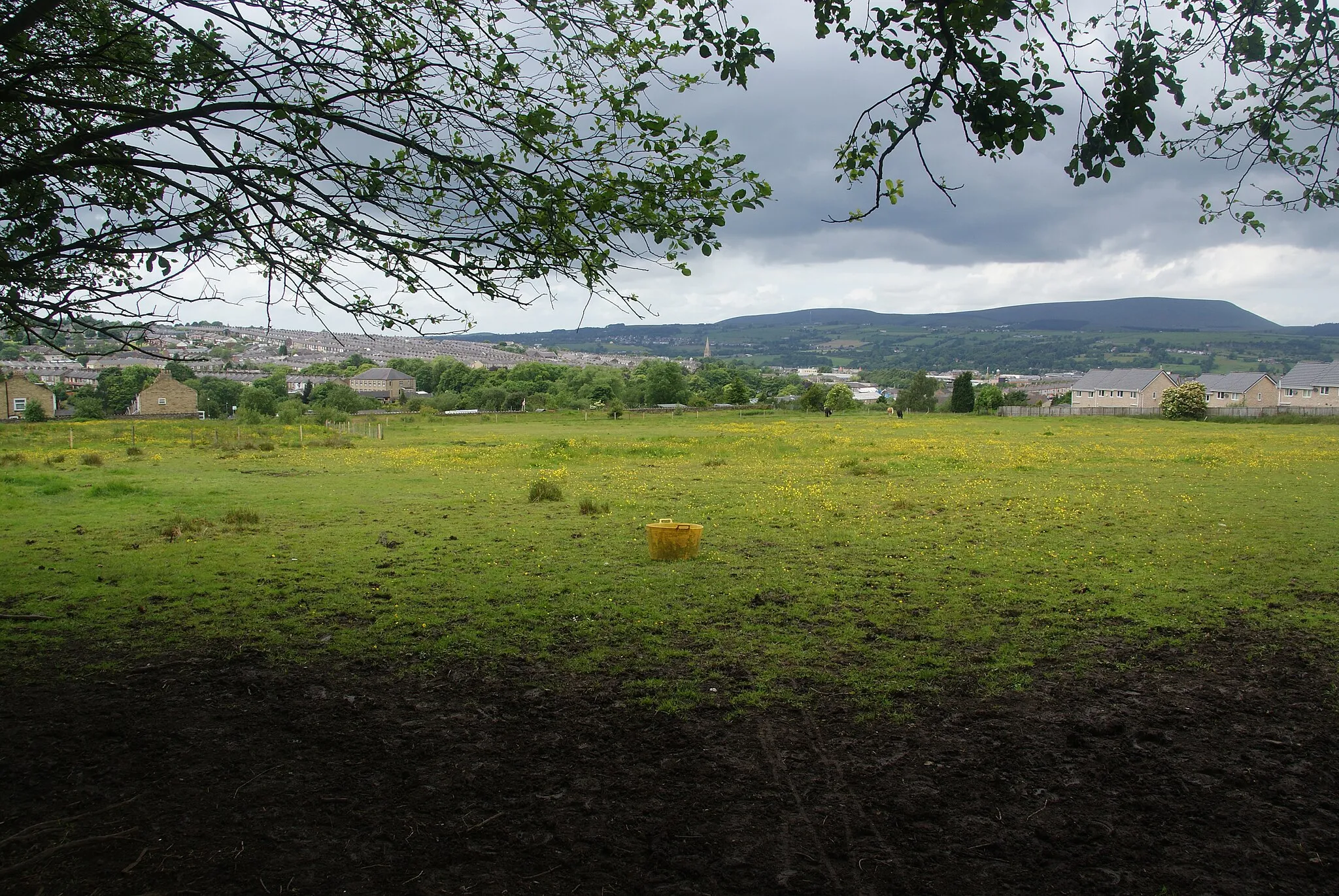
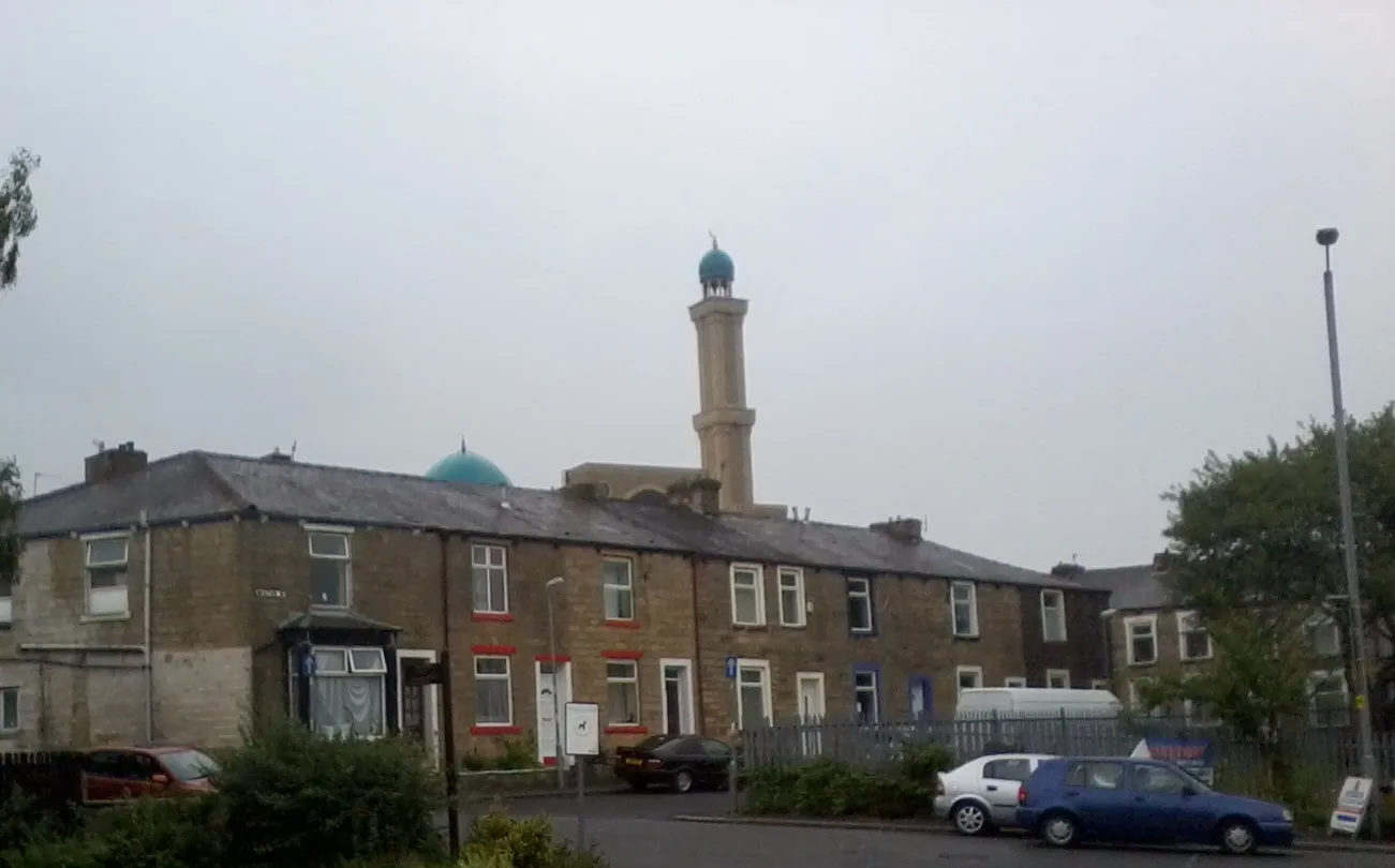
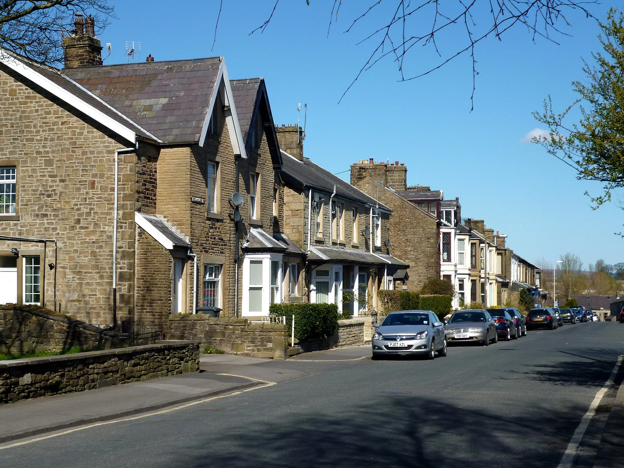
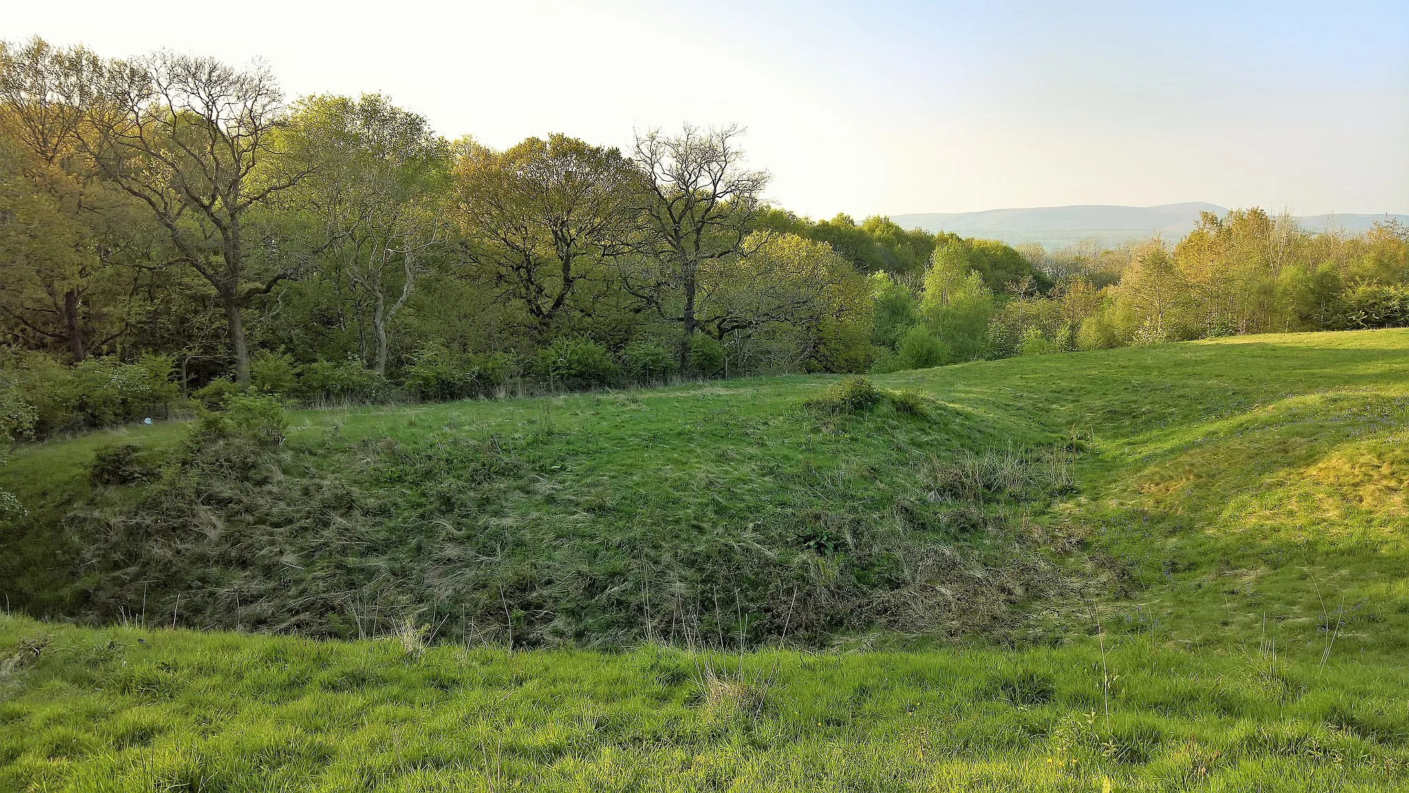
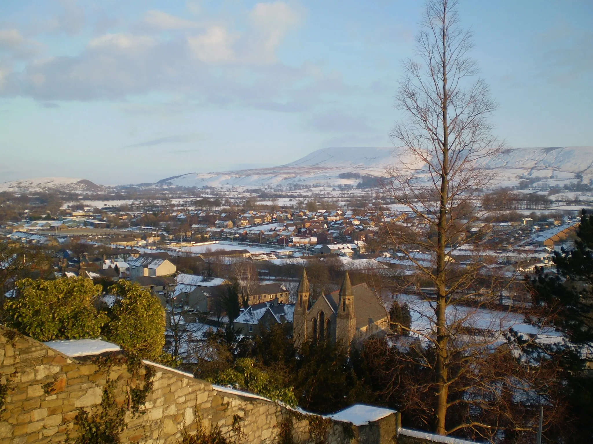
Barrowford in Lancashire, United Kingdom is a cyclist's paradise with its picturesque cycling routes and scenic landscapes. The region boasts a mix of challenging climbs and exhilarating descents, making it suitable for both road and gravel cyclists. Barrowford is surrounded by famous cycling spots, including the iconic Pendle Hill, which offers breathtaking views and demanding ascents. With its cycling-friendly community and diverse terrain, Barrowford is a must-visit destination for any cyclist seeking memorable rides and awe-inspiring scenery.
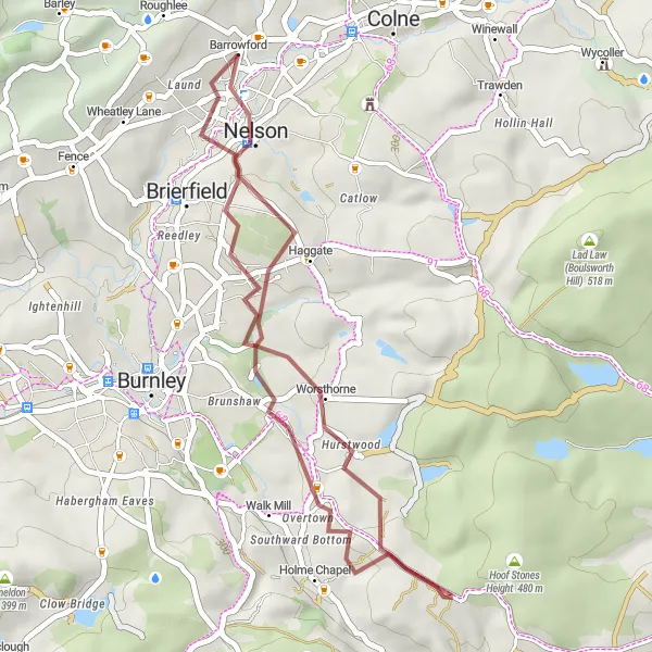
A scenic gravel cycling route from Barrowford to Hurstwood through beautiful countryside
This gravel cycling route takes you through beautiful countryside, offering a mix of challenging terrain and serene landscapes. Starting from Barrowford, the route follows gravel paths and country lanes, passing through quaint villages and peaceful woodlands. Highlights along the way include Harle Syke, a small village known for its picturesque canal and friendly pubs, and Lowerford, where you can stop by the quaint Lowerford Stone Bridge. The difficulty level of this route is moderate, with some challenging climbs and a total ascent of 544 meters. The epicness factor is moderate, as you'll experience the nature and tranquility of the countryside.
Gravel Marvel
A challenging gravel route with breathtaking views and serene landscapes.
Embark on a challenging gravel journey through picturesque landscapes near Barrowford. This exceptional route features a total ascent of 1269 meters spread across 72 kilometers. Enjoy the thrill of technical terrain and discover hidden gems along the way.
Embark on a challenging road route through stunning Lancashire landscapes.
Experience the beauty of Lancashire's countryside with this challenging road cycling route. The total ascent of 1041 meters is spread across a distance of 76 kilometers. As you pedal through picturesque villages and lush nature, prepare to be captivated by the region's charm and natural beauty.
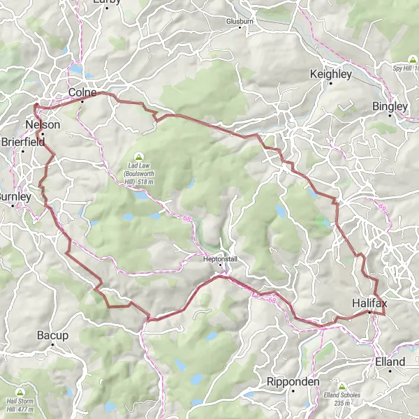
A challenging gravel cycling loop from Colne to Halifax with stunning views
This gravel cycling loop offers a challenging ride through scenic landscapes and picturesque towns. Starting from Colne, the route takes you through rugged hills, dense woodlands, and historic villages. Highlights along the way include Halifax, a bustling town with a rich industrial heritage and stunning architecture, and Todmorden, a market town known for its beautiful canal and vibrant market. The difficulty level of this loop is high, with steep climbs and a total ascent of 1537 meters. The epicness factor is high, as you'll be rewarded with stunning views and a diverse range of landscapes.
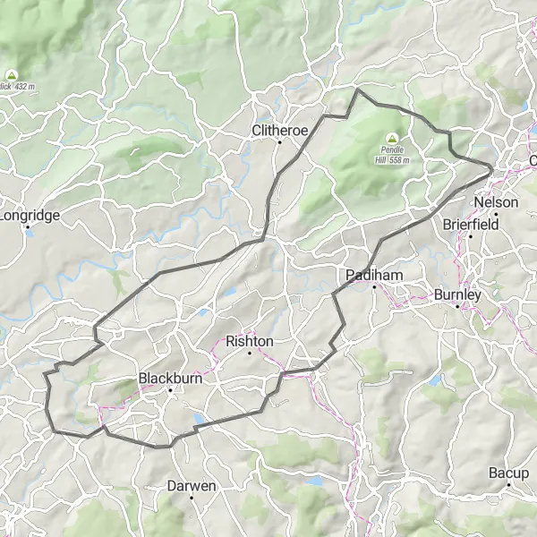
Road Serenade
A scenic road journey showcasing the beauty of Lancashire's countryside.
Discover the charm of Lancashire's countryside with this scenic road route starting near Barrowford. The route covers a total distance of 51 kilometers, offering stunning views and cultural highlights along the way.
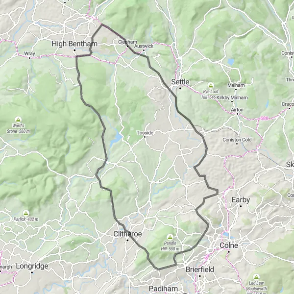
A thrilling gravel route with challenging climbs and stunning scenery.
Embark on an exciting gravel adventure starting near Barrowford. This route features a total ascent of 1030 meters across a distance of 83 kilometers. You'll encounter exhilarating climbs and breathtaking landscapes as you explore the countryside.
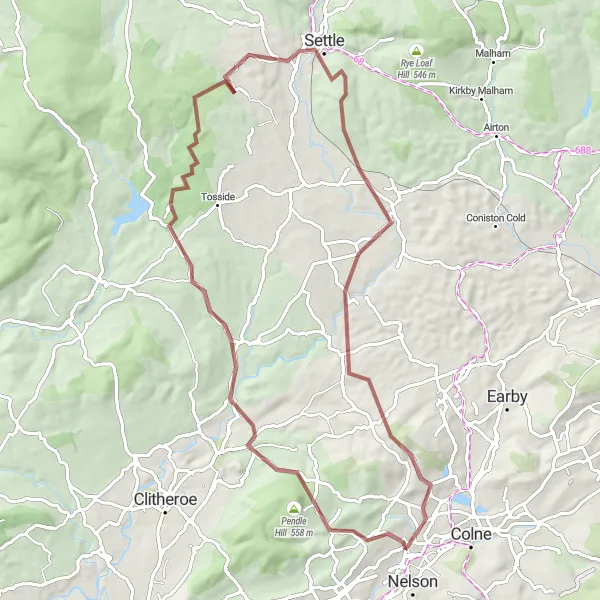
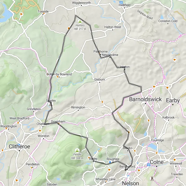
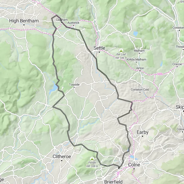
A scenic road cycling route from Barrowford to Clapham through the beautiful Ribble Valley
This road cycling route takes you through the stunning Ribble Valley, offering scenic landscapes and charming villages. Starting from Barrowford, the route follows quiet country roads, passing through historic towns and rolling hills. Highlights along the way include Clitheroe, a market town with a historic castle and a vibrant food scene, and Hellifield, a village known for its traditional stone buildings and scenic surroundings. The difficulty level of this route is moderately challenging, with some steep climbs and a total ascent of 1712 meters. The epicness factor is high, as you'll be treated to stunning views and the beauty of the Yorkshire Dales.
Conquer this challenging road route with epic climbs and breathtaking landscapes.
Challenge your cycling abilities with this demanding road route near Barrowford. The route covers a total distance of 90 kilometers, with an impressive ascent of 1419 meters. Ascend steep hills, experience scenic beauty, and soak in the atmosphere of Lancashire's idyllic towns and villages.
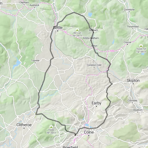
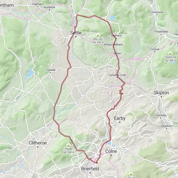
A picturesque road cycling route starting from Barrowford and exploring the beautiful Yorkshire Dales
This road cycling route takes you through stunning landscapes of the Yorkshire Dales, offering breathtaking views and challenging climbs. Starting from Barrowford, the route follows quiet country roads, passing through charming villages and rolling hills. Highlights along the way include Hollin Top, a hilltop viewpoint offering panoramic views, and Cowden, a picturesque village with charming stone cottages. The route's difficulty level is moderate, with some challenging climbs and a total ascent of 1381 meters. The epicness factor is high, as you'll be treated to stunning scenery throughout the entire route.
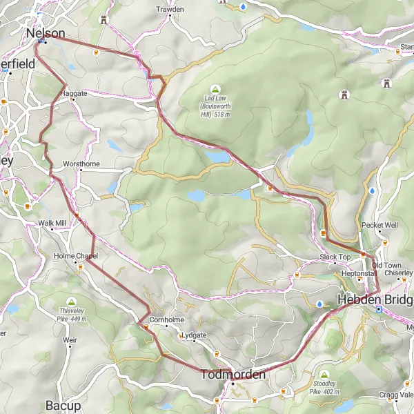
A scenic gravel cycling route from Grey Stone Hill to Blake Dean with charming villages
This gravel cycling route takes you through idyllic countryside and charming villages, offering a mix of gentle terrain and beautiful scenery. Starting from Grey Stone Hill, the route winds its way through lush valleys, peaceful woodlands, and quaint hamlets. Highlights along the way include Hebden Bridge, a vibrant town with an artistic atmosphere and historic buildings, and Todmorden Moor, where you can enjoy panoramic views of the surrounding countryside. The difficulty level of this route is moderate, with some challenging climbs and a total ascent of 997 meters. The epicness factor is moderate, as you'll experience the beauty and tranquility of rural Lancashire.
Cycling routes nearby:
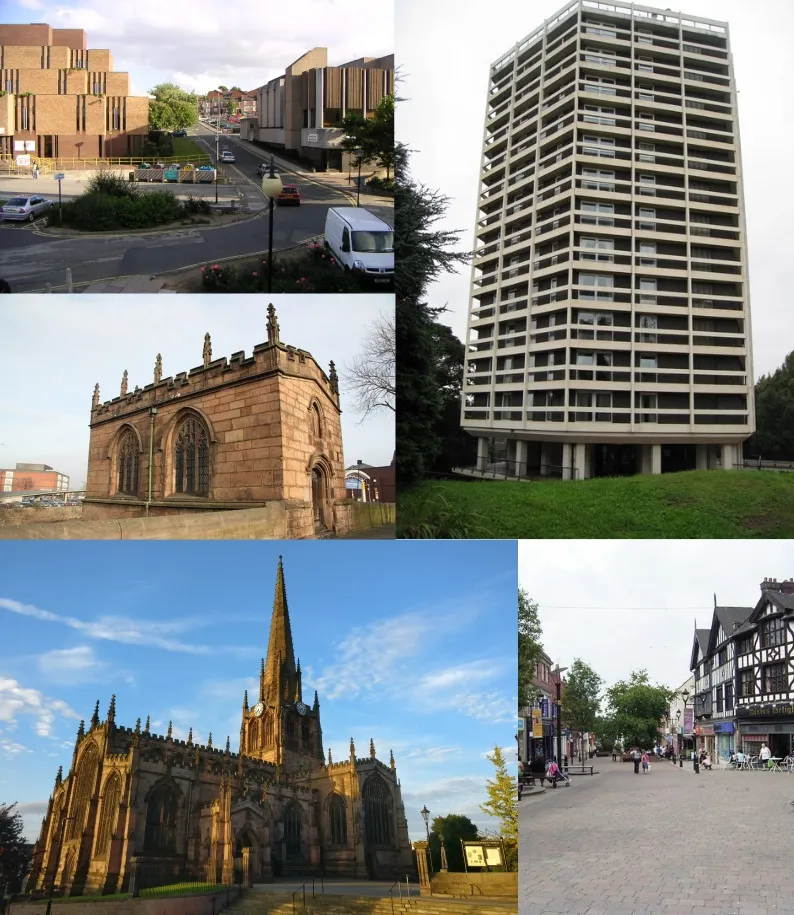
Nearby regions: