Discover the serene cycling routes of Bozeat in Leicestershire, Rutland and Northamptonshire, United Kingdom.
Cycling routes from Bozeat
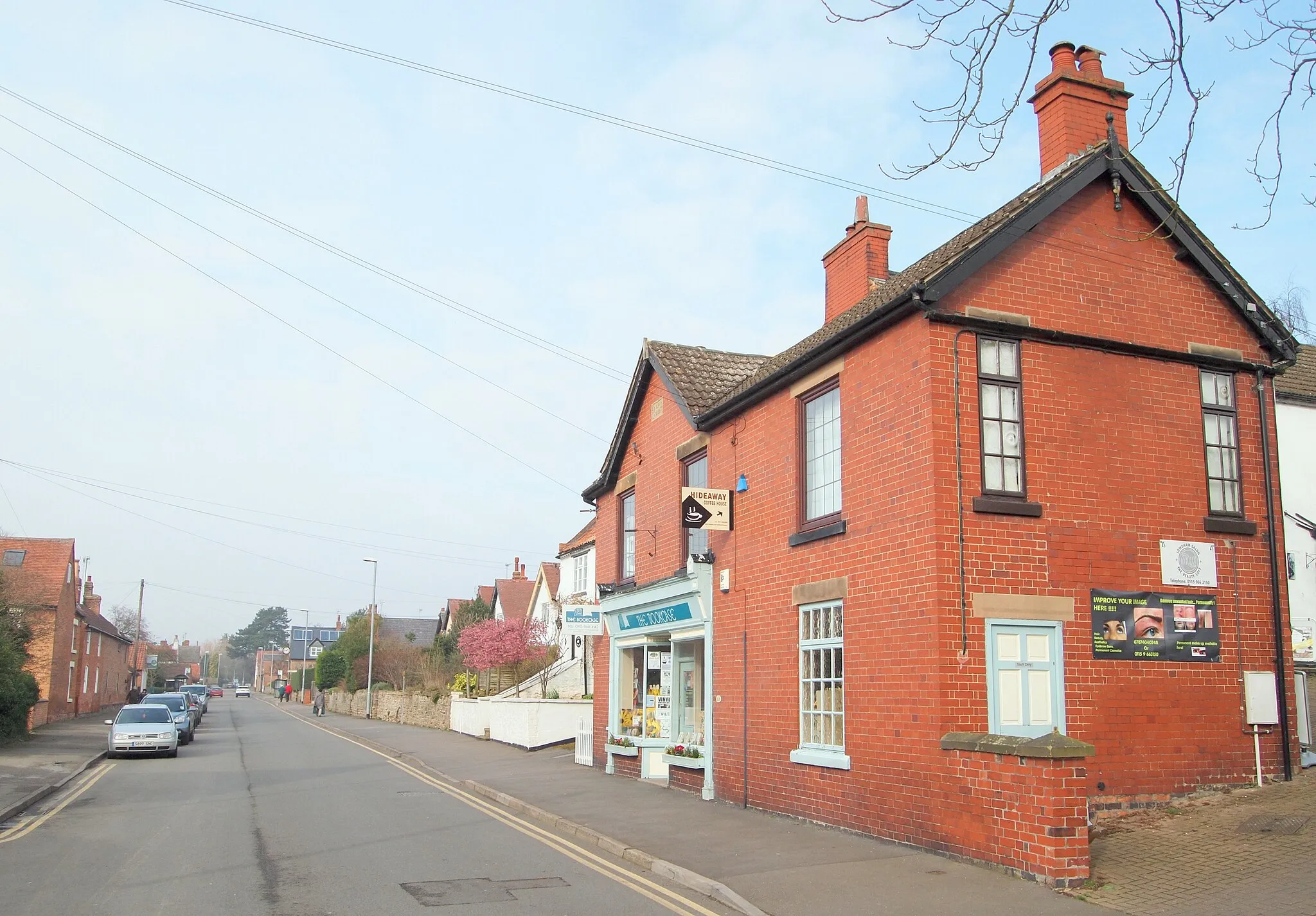
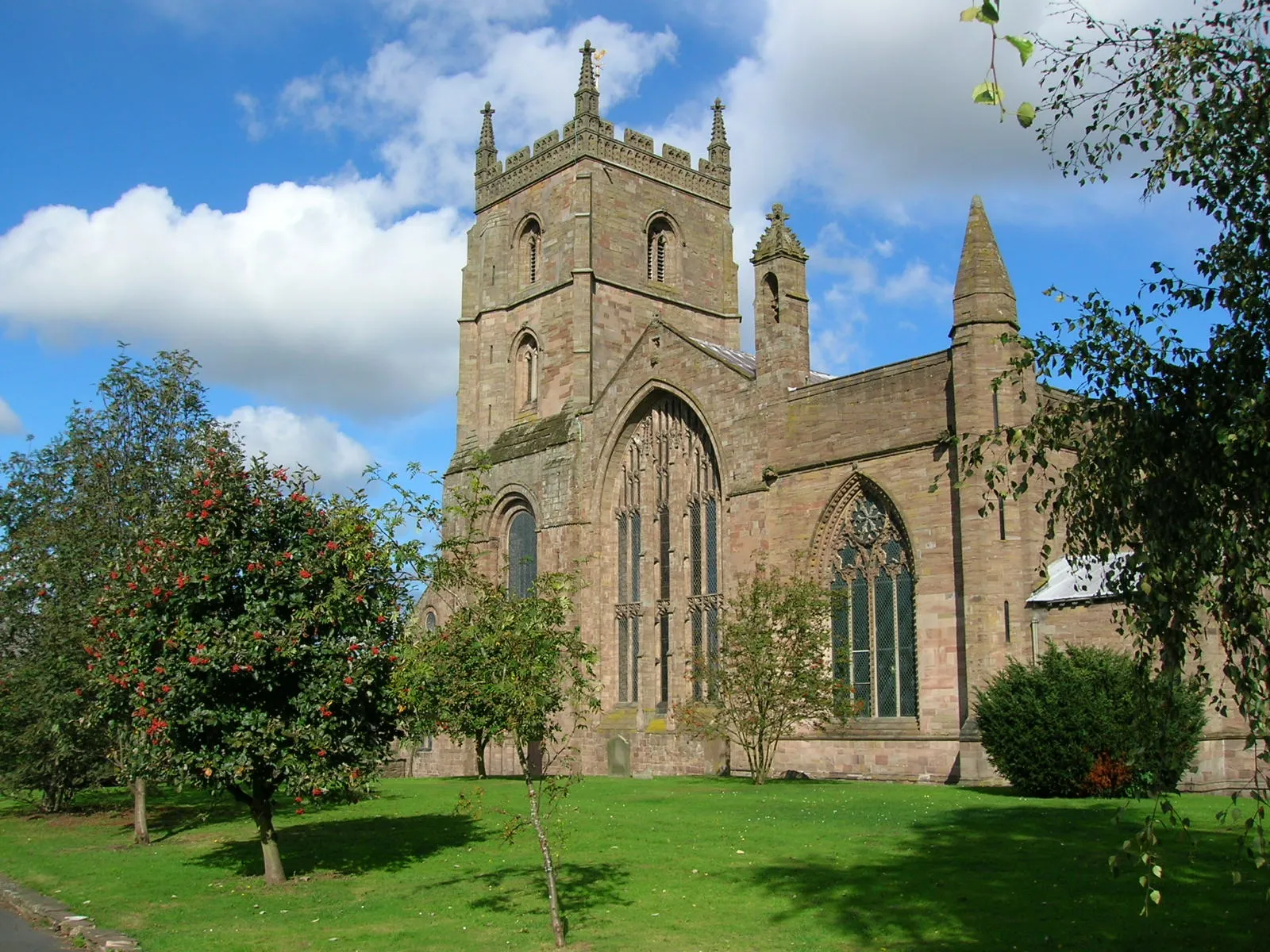
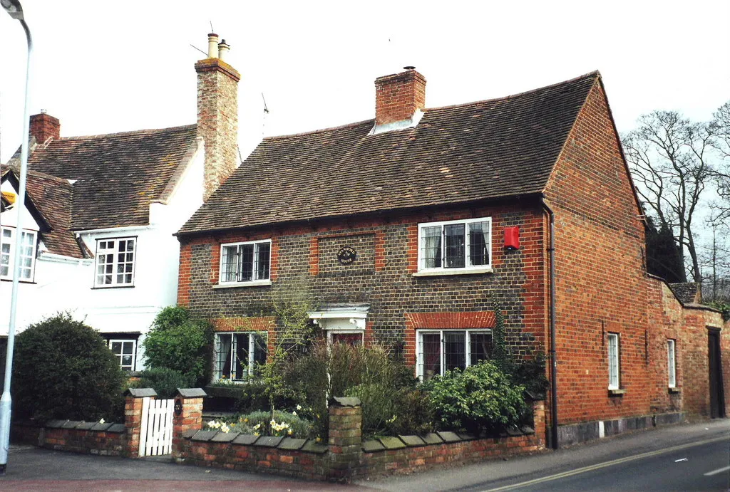
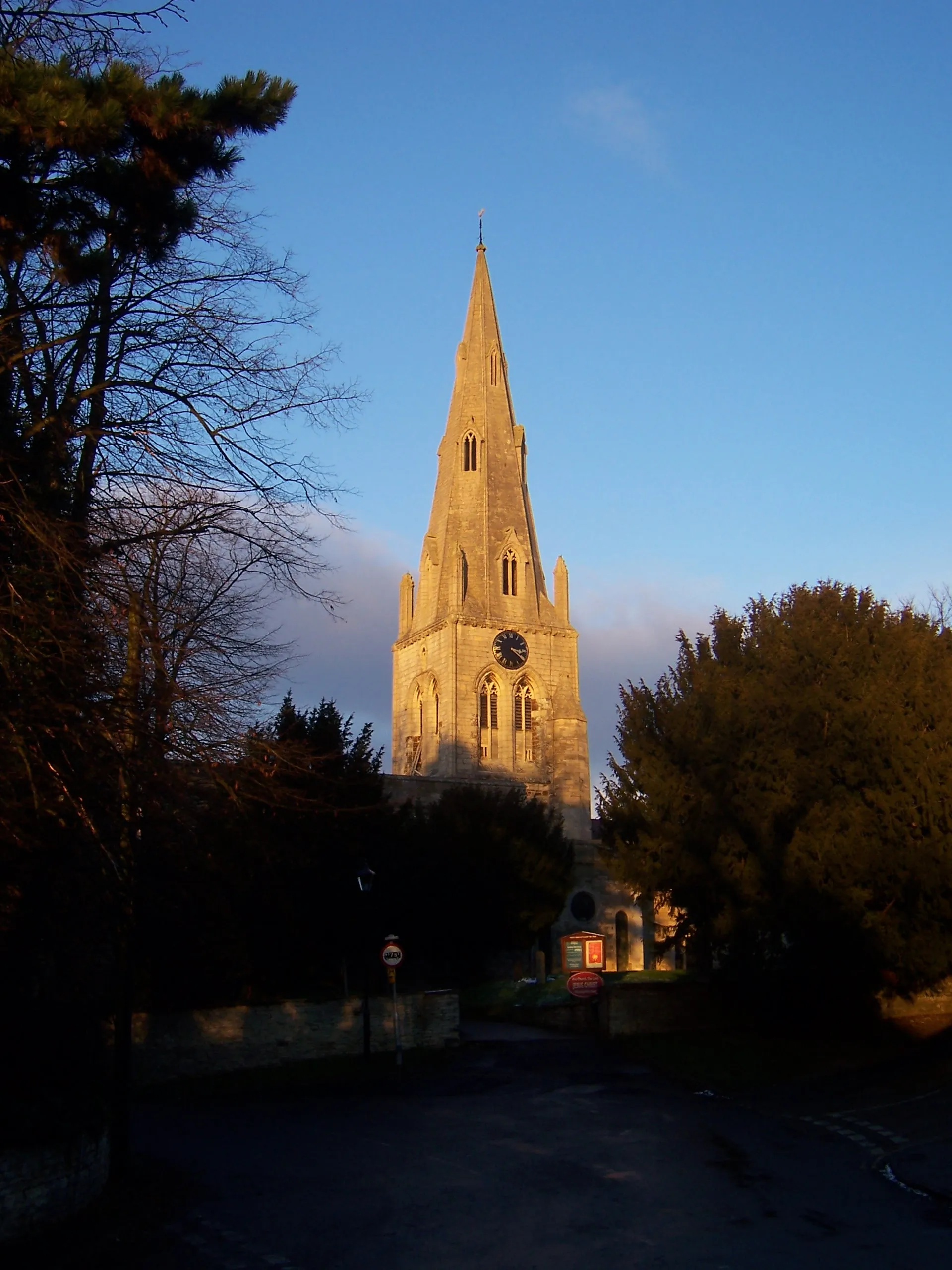
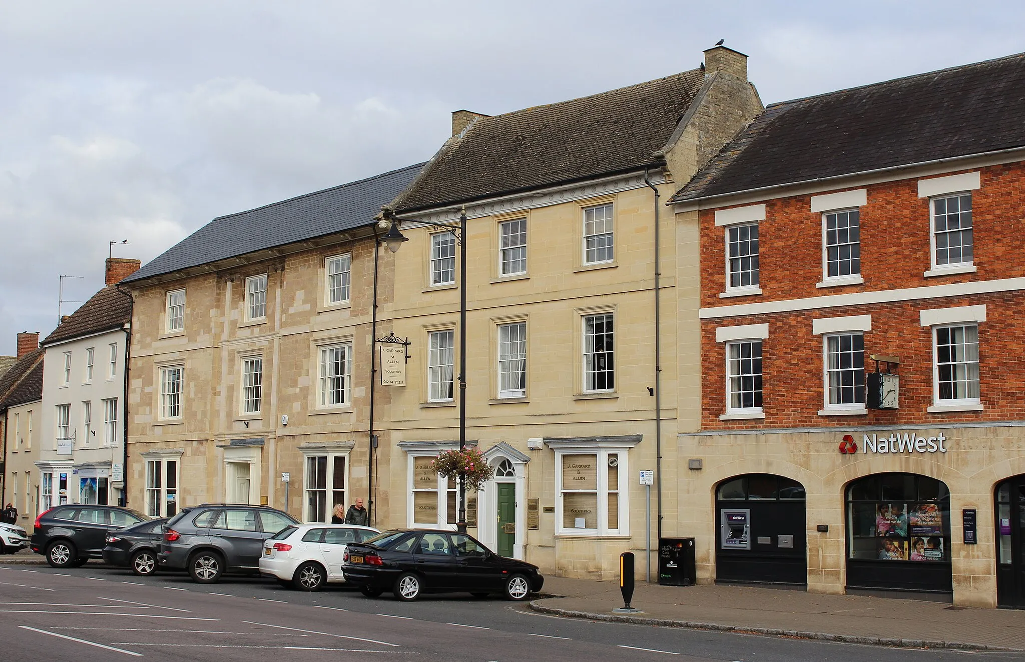
Bozeat in Leicestershire, Rutland and Northamptonshire, United Kingdom is a cyclist-friendly locality worth exploring. The area is home to tranquil country lanes and gentle rolling hills, making it ideal for leisurely rides or more challenging training sessions. Bozeat also offers easy access to the popular cycling routes in nearby towns and villages, such as Wellingborough. With its peaceful surroundings and scenic landscapes, Bozeat provides a delightful cycling experience for riders of all levels.
Experience the picturesque countryside of Leicestershire and Northamptonshire on this scenic cycling route
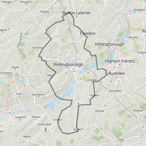
Embark on a 50-km round-trip cycling adventure through the charming villages and rolling hills of Leicestershire and Northamptonshire. This route offers a blend of natural beauty, historical landmarks, and peaceful rural scenery. With a moderate ascent of 373 meters, it provides a perfect challenge for well-trained amateur cyclists.
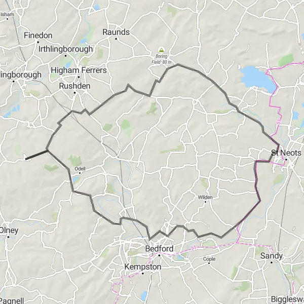
Take on the challenge of The Great Staughton Ride and explore the scenic countryside of Leicestershire, Rutland, and Northamptonshire.
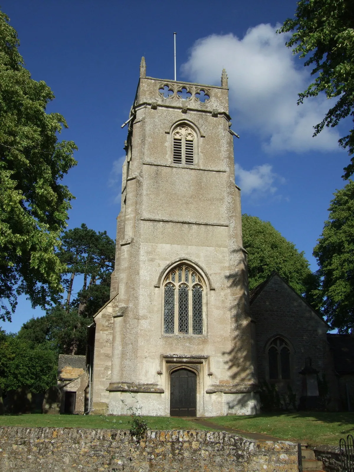
The Great Staughton Ride is a long-distance road cycling route that covers a total distance of 83 km and has an ascent of 350 m. Starting near Bozeat, the route takes you through the picturesque countryside of Leicestershire, Rutland, and Northamptonshire. Along the way, you'll pass through the villages of Wymington, Castle View, Great Staughton, Roxton, Oakley, and Chellington. This route offers a mix of challenging climbs, fast descents, and scenic views, making it ideal for experienced riders looking for a scenic cycling adventure.
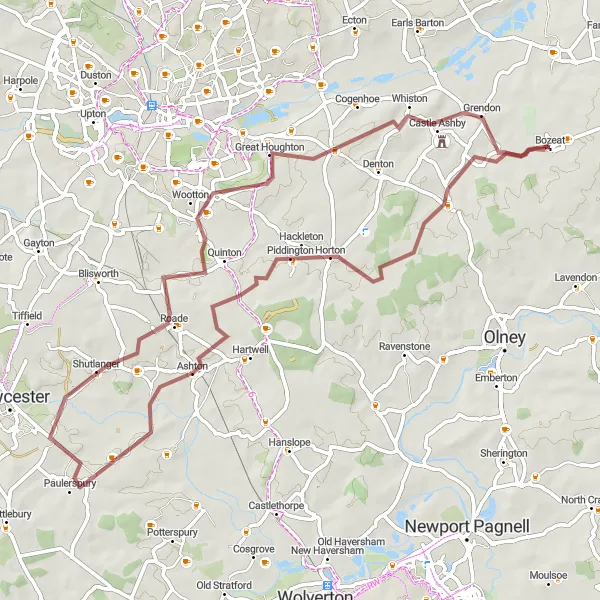
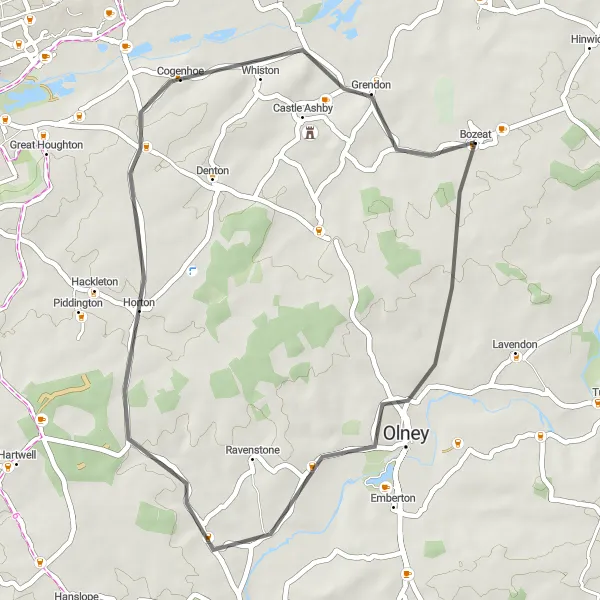
Embark on a memorable gravel adventure through Leicestershire
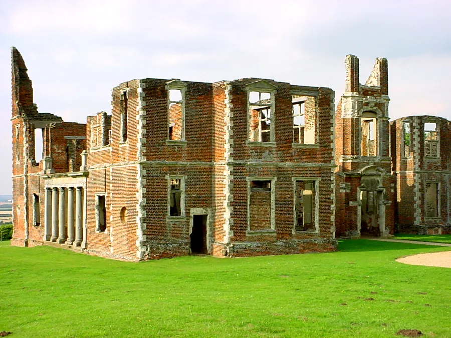
Experience the thrill of exploring Leicestershire's countryside with this challenging gravel route. Covering a distance of 65 km, the route features 377 meters of ascent, making it ideal for well-trained amateurs seeking an exciting cycling adventure. Highlights along the route include the historic Castle Ashby House and the peaceful villages of Easton Maudit and Hackleton. With its epicness rating of 4, this route promises thrilling moments and beautiful landscapes throughout the journey.
Bozeat to Sharnbrook and Back

Explore the scenic countryside from Bozeat to Sharnbrook and back
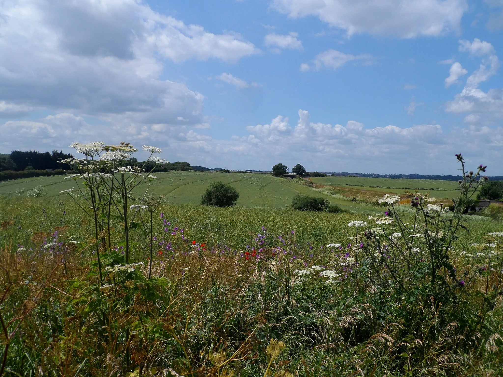
This off-road gravel cycling route takes you through the beautiful countryside of Leicestershire, Rutland, and Northamptonshire. With a moderate difficulty level, the route provides an exciting challenge for well-trained amateurs. The 47-km ride includes 266 meters of ascent, offering breathtaking views along the way. With highlights such as the bird hide in Milton Ernest and the picturesque village of Turvey, this route promises both natural beauty and cultural interest.
Bozeat Gravel Ride
Scenic gravel ride through Leicestershire, Rutland, and Northamptonshire
This scenic gravel ride takes you through the picturesque countryside of Leicestershire, Rutland, and Northamptonshire. With a total distance of 32 kilometers and an ascent of 175 meters, it offers a moderate challenge suitable for well-trained amateurs. The route is perfect for gravel bikes, offering a mix of quiet country roads and off-road trails.
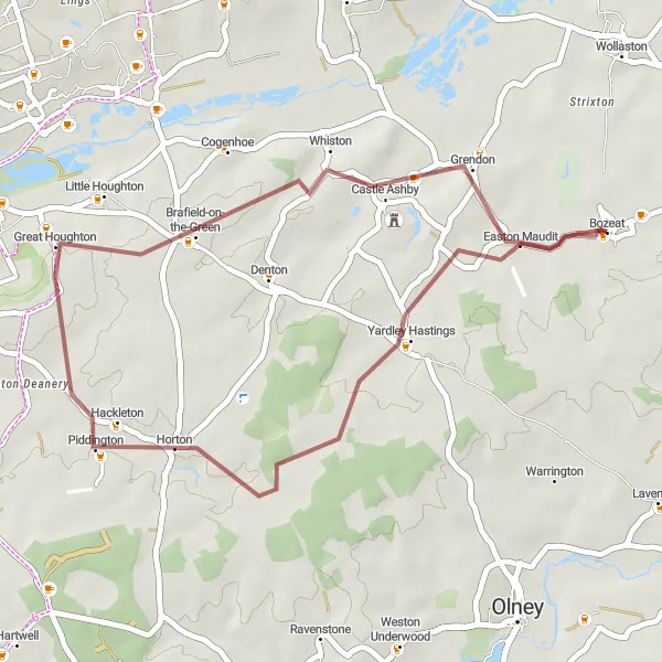
Embark on a epic road cycling journey through Leicestershire, Rutland, and Northamptonshire.
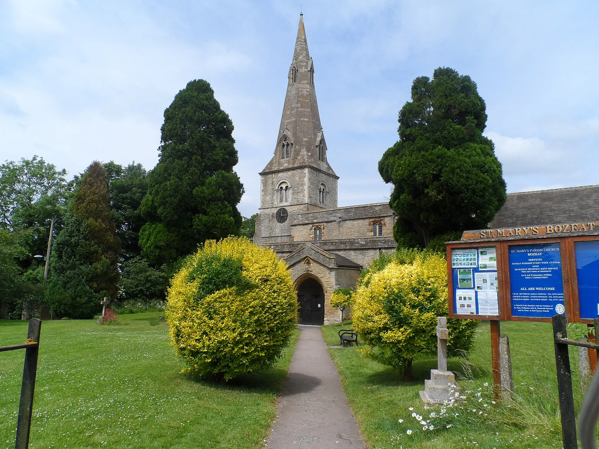
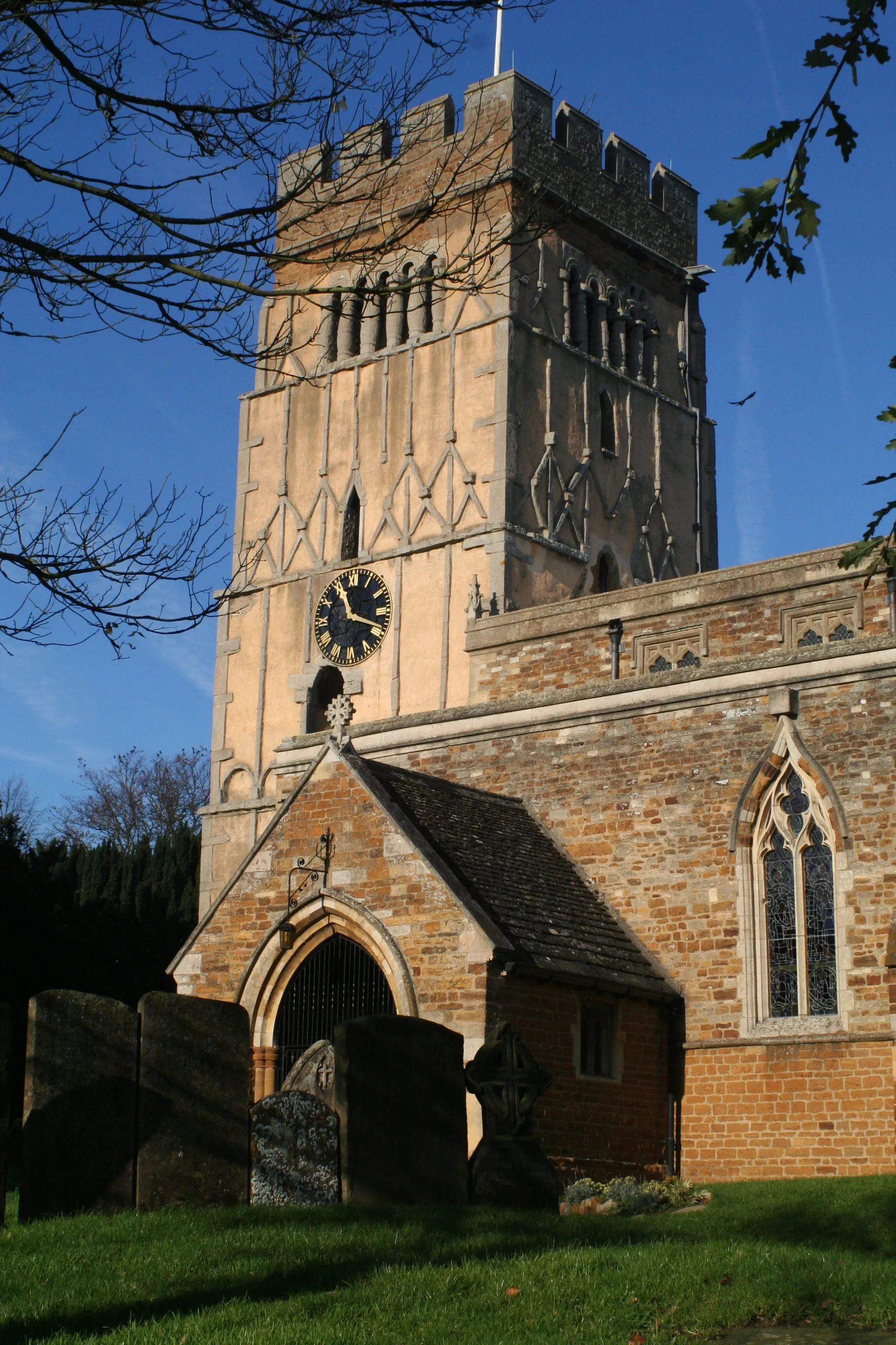
Take on the challenge of the Grand Tour of Leicestershire, Rutland, and Northamptonshire. This long-distance road cycling route covers a total distance of 75 km with an ascent of 387 m, making it suitable for experienced cyclists. Starting near Bozeat, the route takes you through the stunning countryside of Leicestershire, Rutland, and Northamptonshire, passing through the villages of Emberton, Stantonbury, Farm Hide, Stoke Bruerne, Courteenhall, and Easton Maudit. Along the way, you'll experience a variety of terrains, including rolling hills, scenic valleys, and historic market towns.
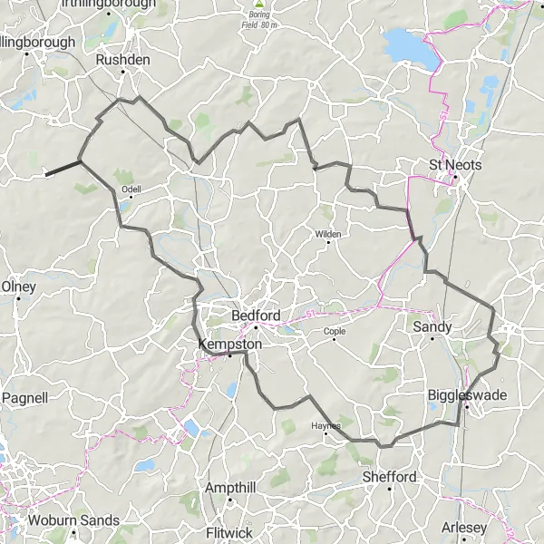
Embark on an epic 84-km cycling journey through the picturesque landscapes of Rutland and Northamptonshire
Get ready for a thrilling cycling experience as you traverse the stunning routes of Rutland and Northamptonshire. This challenging 84-km round-trip will test your endurance and reward you with breathtaking views at every turn. With an ascent of 737 meters, this route is best suited for well-trained amateur cyclists seeking an exhilarating adventure.
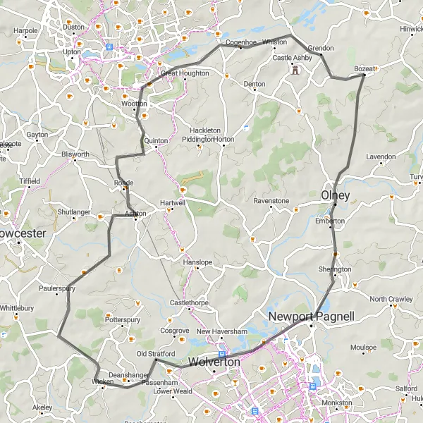
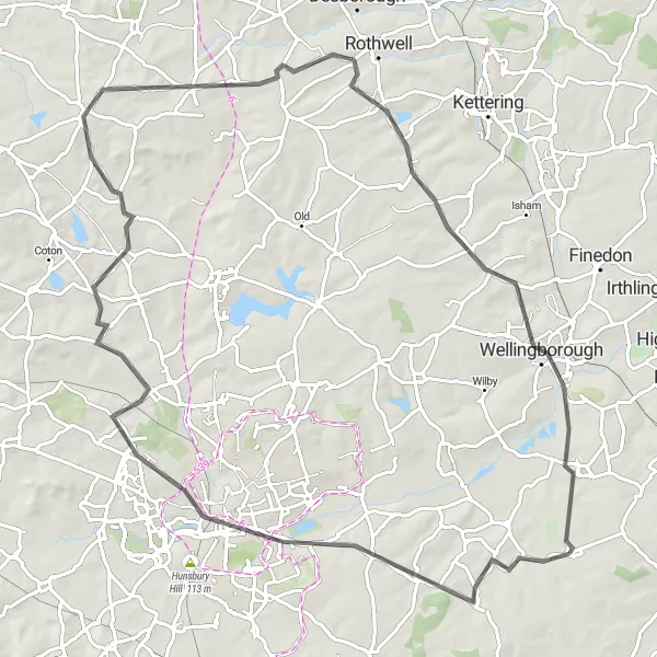
A challenging road ride through Leicestershire and Northamptonshire
Challenge yourself with this tough road ride through the stunning landscapes of Leicestershire and Northamptonshire. Covering a distance of 103 kilometers with a total ascent of 484 meters, this route is best suited for experienced cyclists. It offers a variety of terrain, including challenging climbs and fast descents on open roads. Prepare for a rewarding yet demanding journey.
Enjoy a scenic road ride from Bozeat to Olney Beacon
Escape into the picturesque landscapes of Leicestershire, Rutland, and Northamptonshire with this road cycling route from Bozeat to Olney Beacon. Covering a total distance of 38 km and featuring an ascent of 240 meters, the route provides a moderate challenge for experienced amateur cyclists. Highlights include the iconic Olney Beacon and the peaceful village of Brafield-on-the-Green, where you can stop for a refreshing break. With its beautiful scenic sections and diverse terrain, this route offers a fantastic road cycling experience for those looking to explore the countryside.
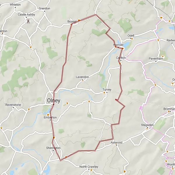
Embark on an exciting gravel adventure around Bozeat and discover the peaceful villages of Carlton, Chicheley, and Emberton.
Get off the beaten path and experience the thrill of gravel cycling with this adventurous route. With a distance of 40 km and an ascent of 250 m, this gravel route is suitable for cyclists looking to explore the scenic countryside near Bozeat. The route starts near Bozeat and takes you through the peaceful villages of Carlton, Chicheley, and Emberton. Along the way, you'll encounter scenic farm fields, quiet country lanes, and charming village churches.
Cycling routes nearby:
Nearby regions: