Explore the tranquil beauty of Oundle on a bike
Cycling routes from Oundle
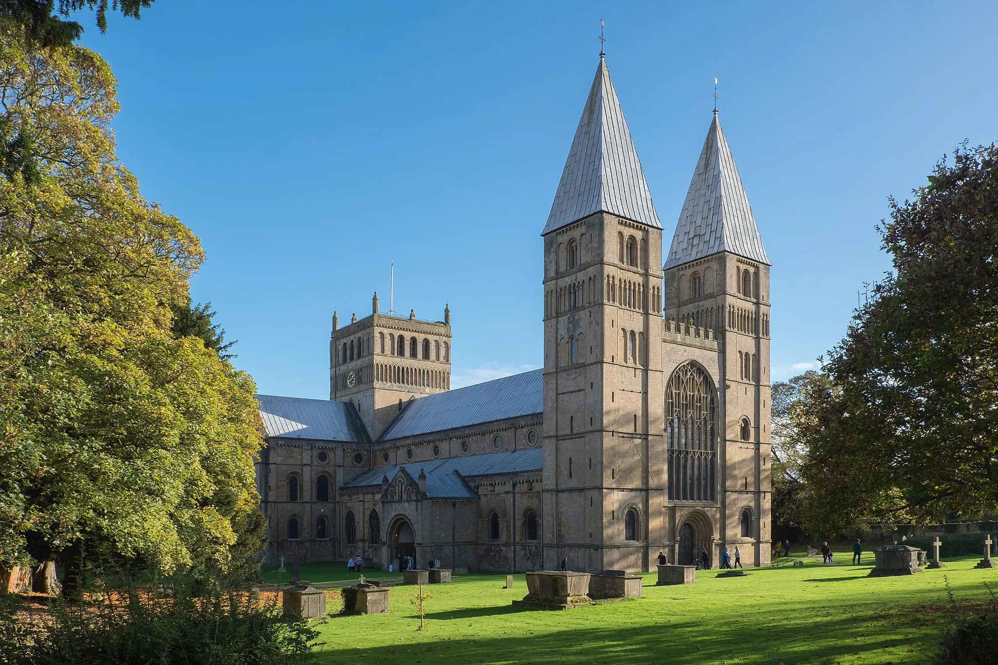
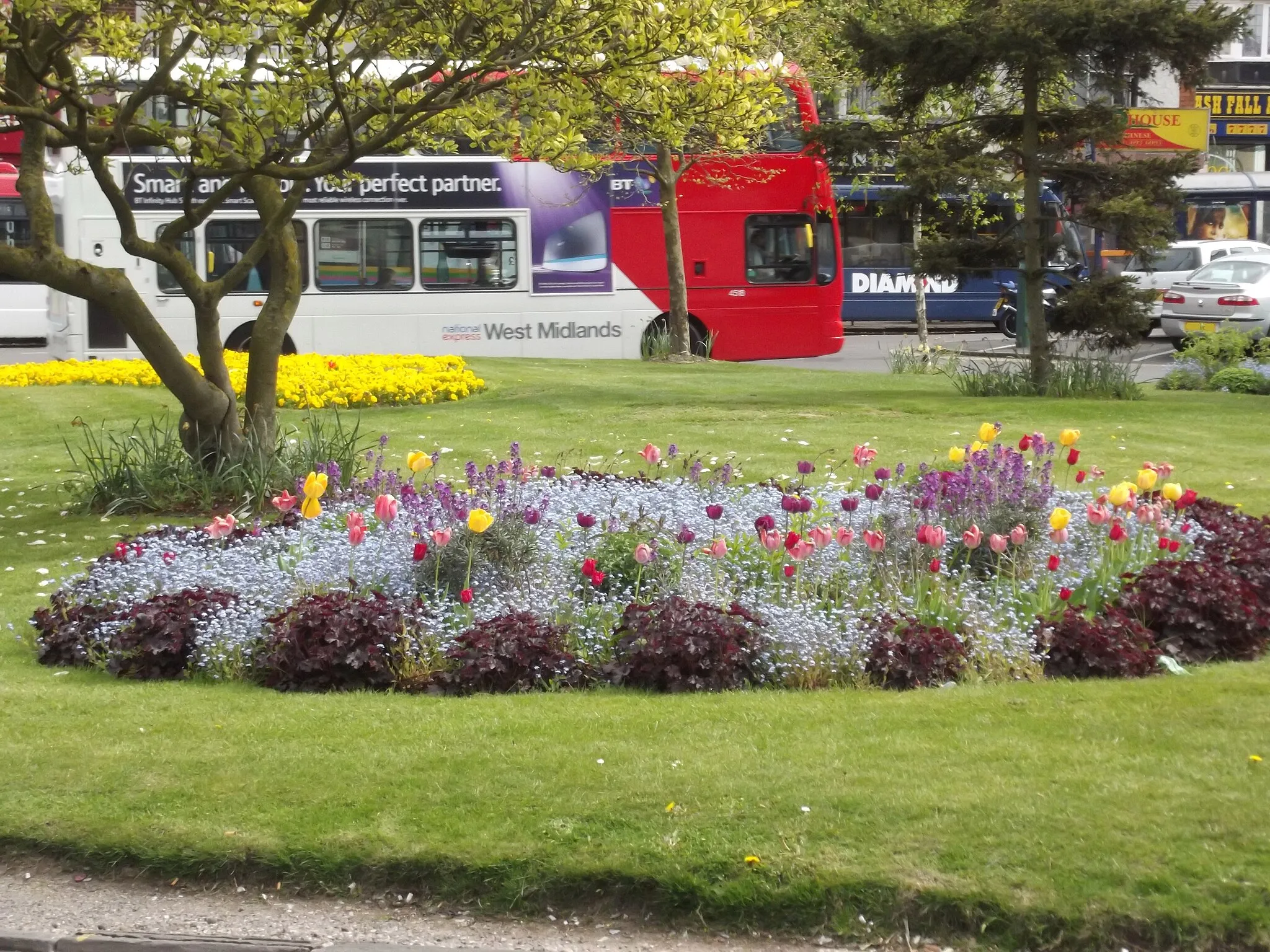
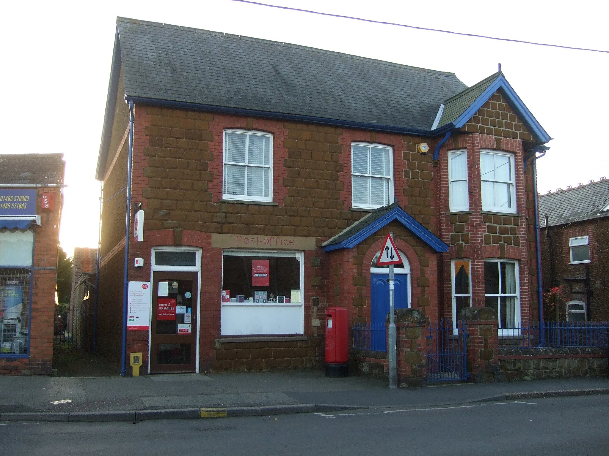
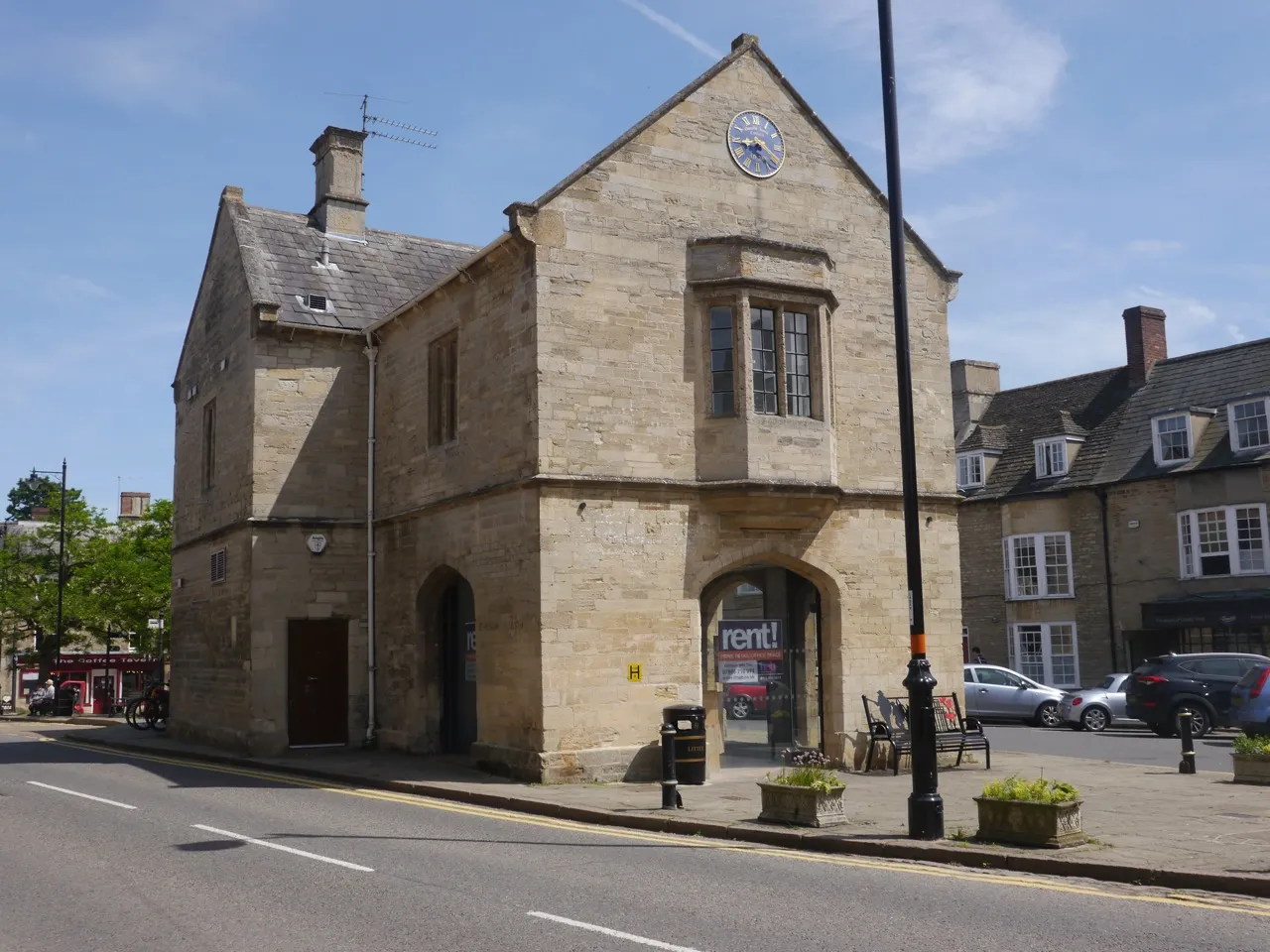
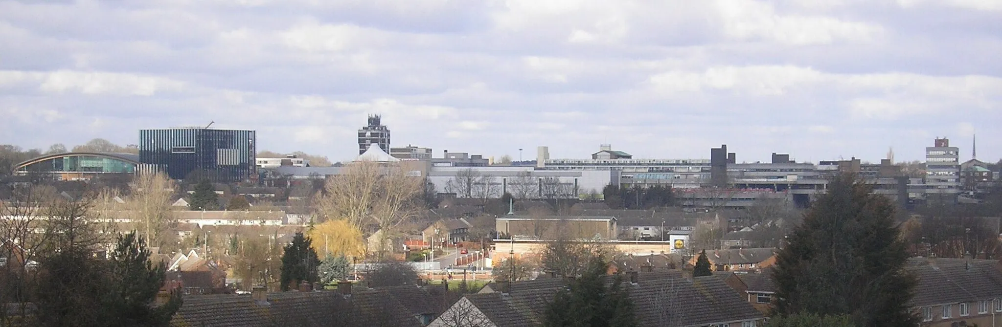
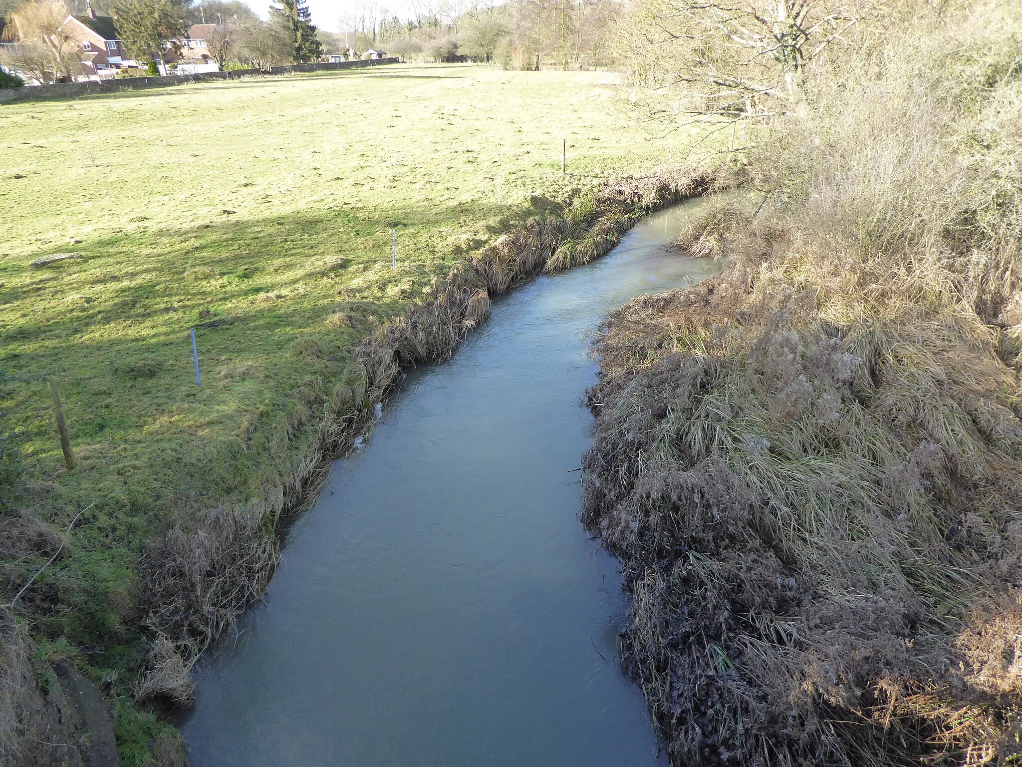
Oundle, situated in Leicestershire, Rutland, and Northamptonshire, United Kingdom, offers a delightful cycling experience with its picturesque countryside and well-paved roads. Road and gravel cyclists can explore the region's idyllic villages, historic market towns, and gentle hills. Oundle is home to interesting attractions such as Oundle School and the riverside walks along the Nene River. While there are no famous cycling spots or legendary climbs nearby, Oundle provides a pleasant setting for cyclists to enjoy the beauty of rural England.
Riding through Oundle and Beyond
Experience the charm of Oundle and explore the beautiful countryside
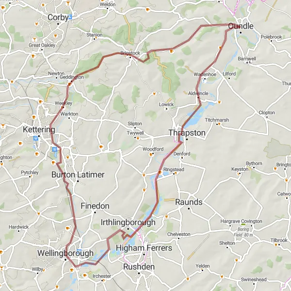
This round-trip cycling route starts in Oundle and takes you through picturesque villages and scenic countryside. It offers a mix of gravel and road terrain, making it perfect for gravel bike enthusiasts. With a total distance of 70 km and an ascent of 316 meters, this route provides a moderate challenge for well-trained cyclists. Throughout the ride, you'll encounter historic highlights such as Thrapston, Irthlingborough, Isham, Geddington, and Brigstock.
Tansor and Woodwalton Ride
Scenic road ride through Tansor and Woodwalton.
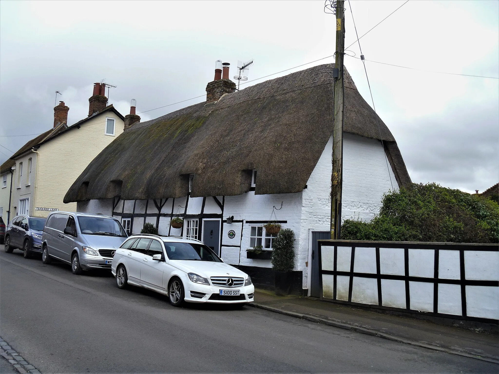
Embark on this scenic road ride through Tansor and Woodwalton. With a total distance of 95 kilometers and an ascent of 290 meters, this route offers a moderate challenge for road cycling enthusiasts. Highlights along the route include the village of Tansor with its charming thatched cottages and the picturesque Woodwalton Fen Nature Reserve. The route also passes through Pondersbridge and Benwick before reaching the starting point in Oundle.
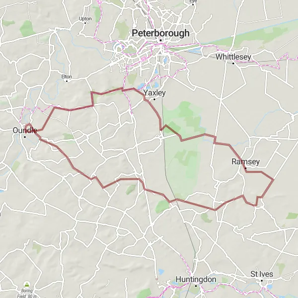
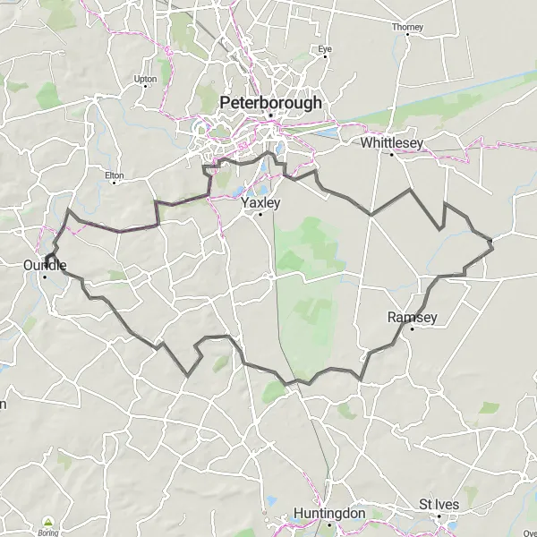
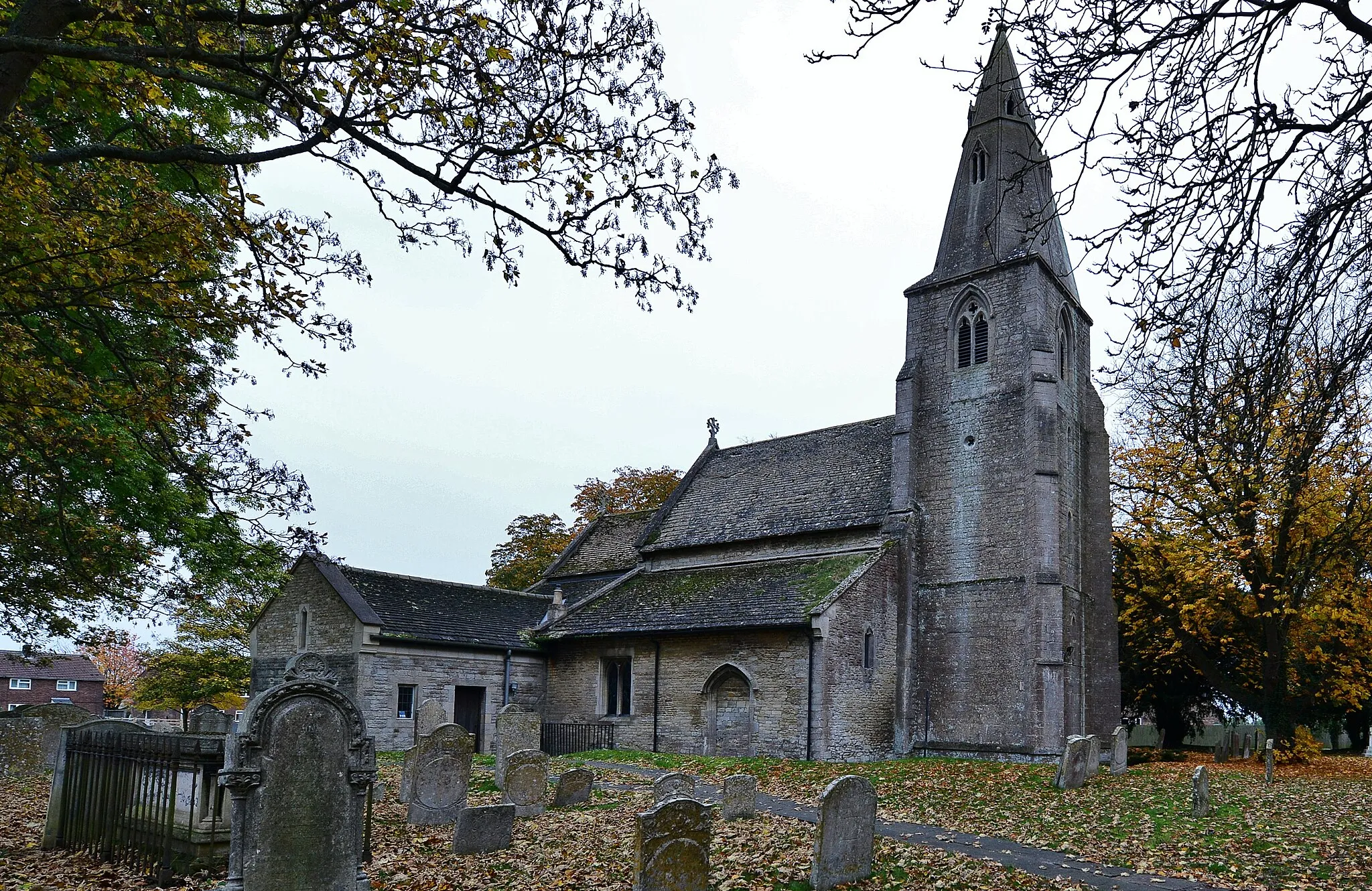
Discover Haddon and Sawtry on this adventurous gravel expedition.
Explore Haddon and Sawtry on this 78-kilometer gravel expedition. With an elevation gain of 298 meters, this route offers a moderate challenge suitable for gravel biking enthusiasts. The highlight of the route is the picturesque town of Haddon, known for its quaint cottages and impressive medieval church. The route also passes through Ramsey and Warboys before returning to Oundle.
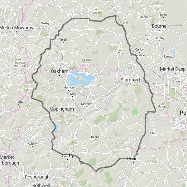
Embark on an epic cycling adventure through Rutland and Northamptonshire.
This road cycling route near Oundle offers an exciting adventure through the scenic landscapes of Rutland and Northamptonshire. With a challenging ascent of 895 meters over a distance of 124 kilometers, this route is suitable for well-trained amateur cyclists seeking a thrilling experience. The epicness rating of this route is 5, as it takes riders through some of the most iconic cycling spots in the area. Highlights along the route include Stanion, Belton-in-Rutland, Knossington, North Witham, Little Bytham, Wansford, and Oundle.
Oundle and Beyond
Discover the charming countryside surrounding Oundle on this scenic cycling route.
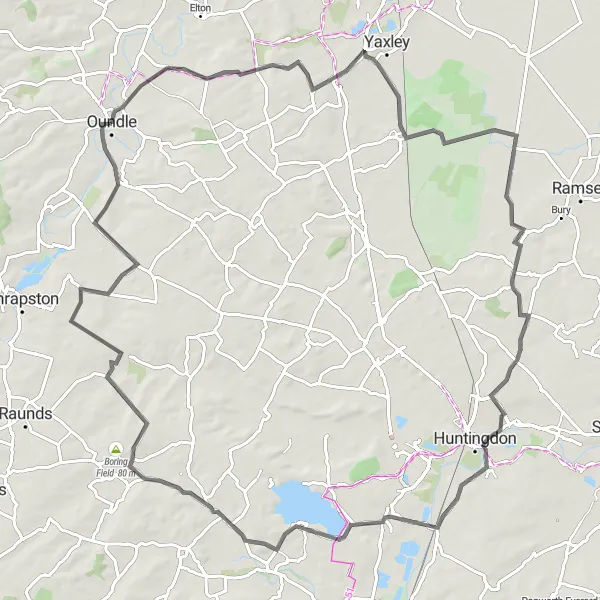
Embark on a picturesque cycling adventure through Leicestershire, Rutland, and Northamptonshire. This round-trip route starting in Oundle takes you through quaint villages, rolling green hills, and stunning lakes. Experience the beauty of the countryside as you pedal along well-maintained paths and enjoy the peaceful surroundings. With a mix of road and gravel sections, this route offers a diverse cycling experience suitable for road bikers and gravel enthusiasts alike.
Scenic loop through Apethorpe and Great Casterton.
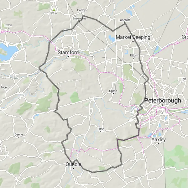
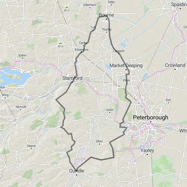
This road route takes you on a scenic loop through Apethorpe and Great Casterton. With a total distance of 87 kilometers and an ascent of 412 meters, this route offers a moderate challenge for a well-trained amateur cyclist. The route passes through Market Deeping and Orton Waterville before returning to the starting point in Oundle.
Explore Thrapston and Lyveden on this scenic gravel loop.
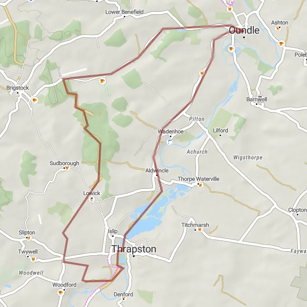
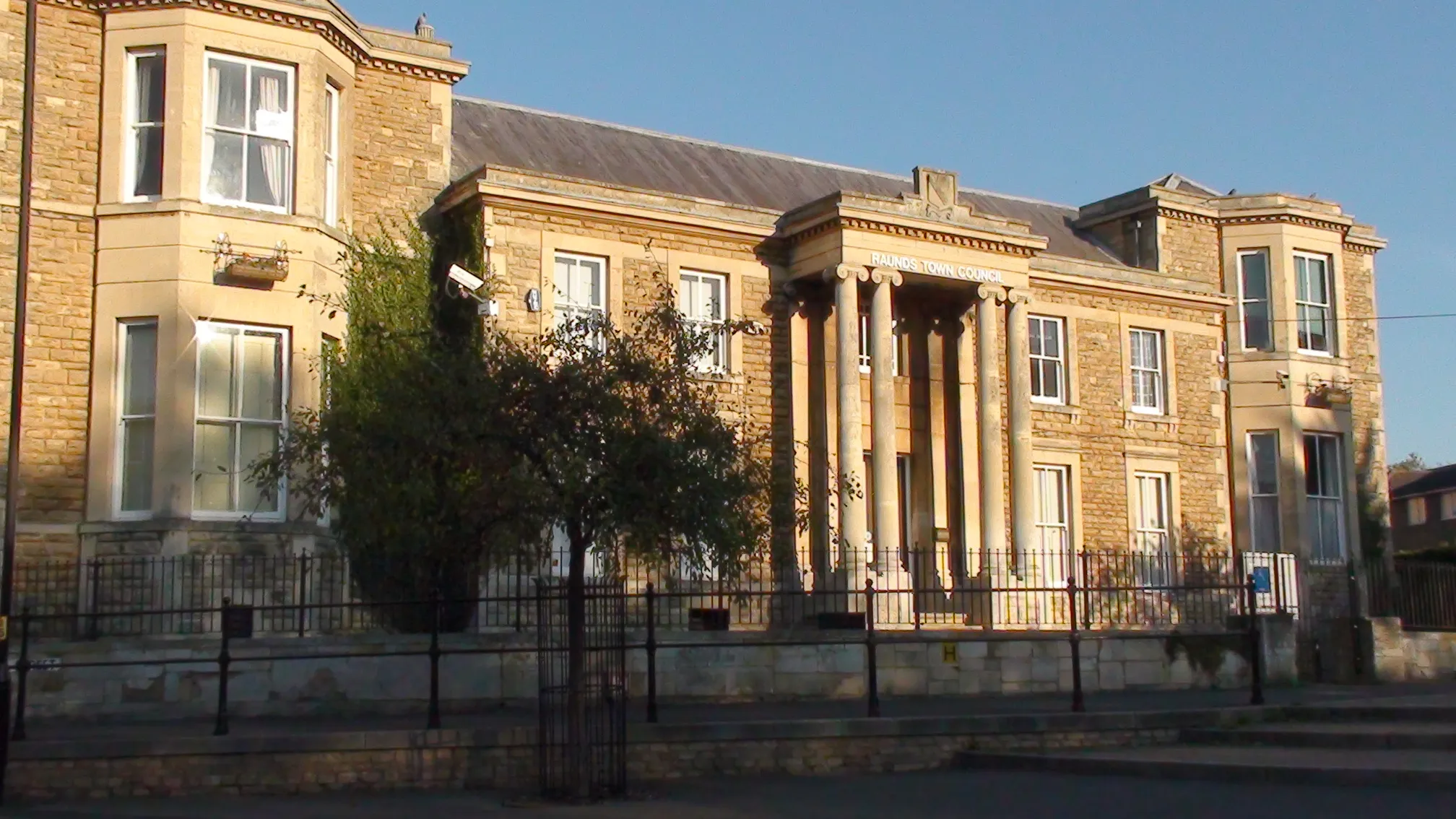
Discover the scenic towns of Thrapston and Lyveden on this 36-kilometer gravel loop. With an elevation gain of 184 meters, this route offers a relatively easy ride suitable for gravel biking enthusiasts. Highlights along the route include the picturesque town of Thrapston, known for its charming cottages and traditional market square, as well as the historic Lyveden New Bield, a unique unfinished Elizabethan lodge. The loop starts and ends in Oundle, providing the opportunity to explore the town's medieval streets and quaint shops.

Experience the thrill of gravel cycling and discover charming villages along the way.
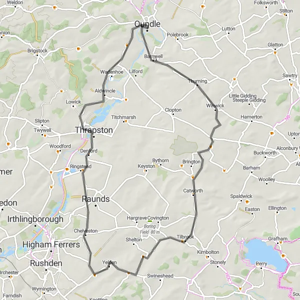
This gravel cycling route near Oundle offers a thrilling off-road experience combined with the discovery of charming villages. With a moderate ascent of 324 meters over a distance of 82 kilometers, this route is suitable for cyclists looking for an alternative to road riding. The epicness rating of this route is 3, as it provides an exciting adventure through diverse terrains. Highlights along the route include Oundle, Sawtry, Offord Cluny, Castle View, Catworth, and Wigsthorpe.
Experience the rural beauty and historic charm of Stamford and Market Deeping.
This road cycling route near Oundle showcases the scenic rural beauty and historic charm of Stamford and Market Deeping. With a moderate ascent of 355 meters over a distance of 89 kilometers, this route is suitable for well-trained amateur cyclists. The epicness rating of this route is 4, as it offers riders the opportunity to explore picturesque villages and enjoy the tranquil countryside. Highlights along the route include Woodnewton, Stamford, Bourne, Market Deeping, Marholm, and Tansor.
Explore the historic Barnwell Castle on this scenic cycling route.
This road cycling route near Oundle takes you past beautiful countryside scenery and includes a visit to the medieval Barnwell Castle. With a moderate ascent of 373 meters over a distance of 64 kilometers, this route provides a good challenge for amateur cyclists. The epicness rating of this route is 4, as it offers a unique opportunity to explore a historic castle and enjoy the picturesque surroundings. Highlights along the route include Catworth, Yelden, Thrapston, and Wadenhoe.
Cycling routes nearby:
Nearby regions: