Cycling Paradise in United Kingdom
Cycling routes from Stanwick
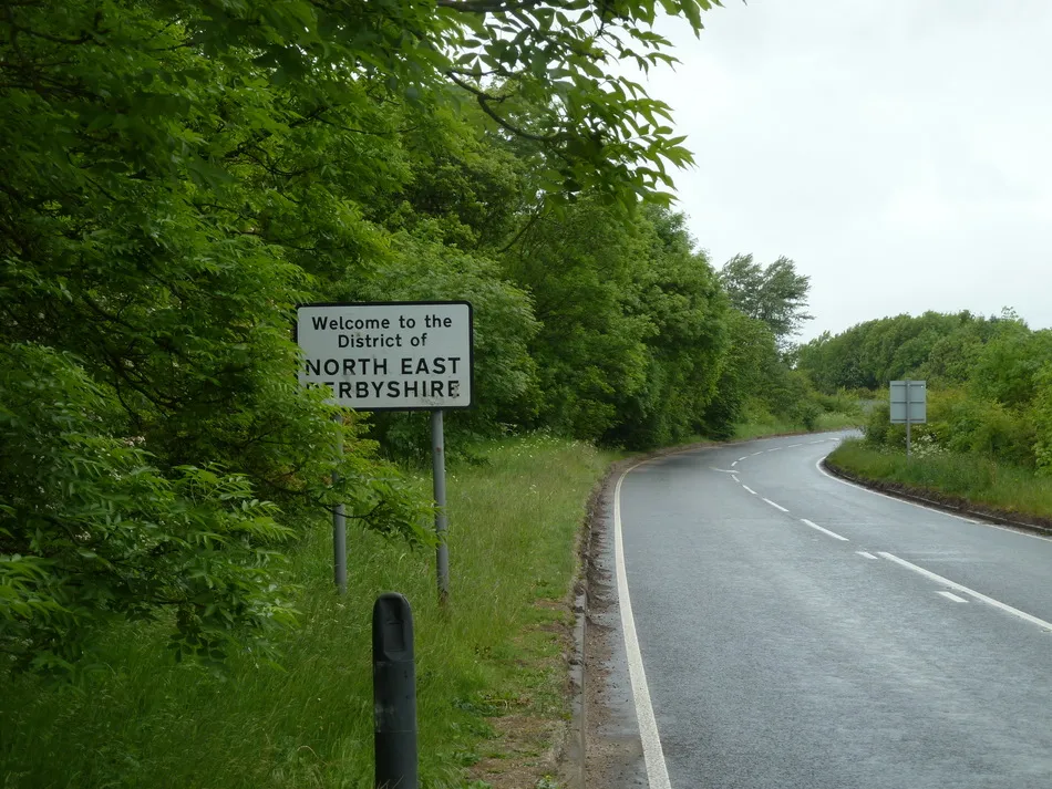
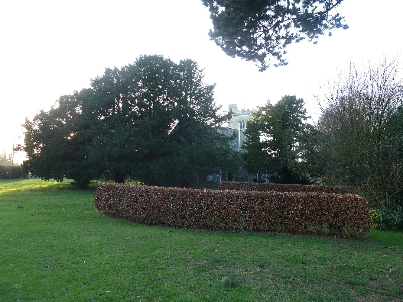
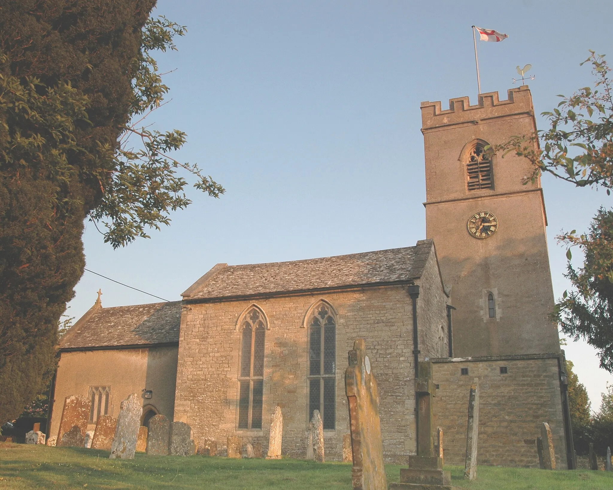
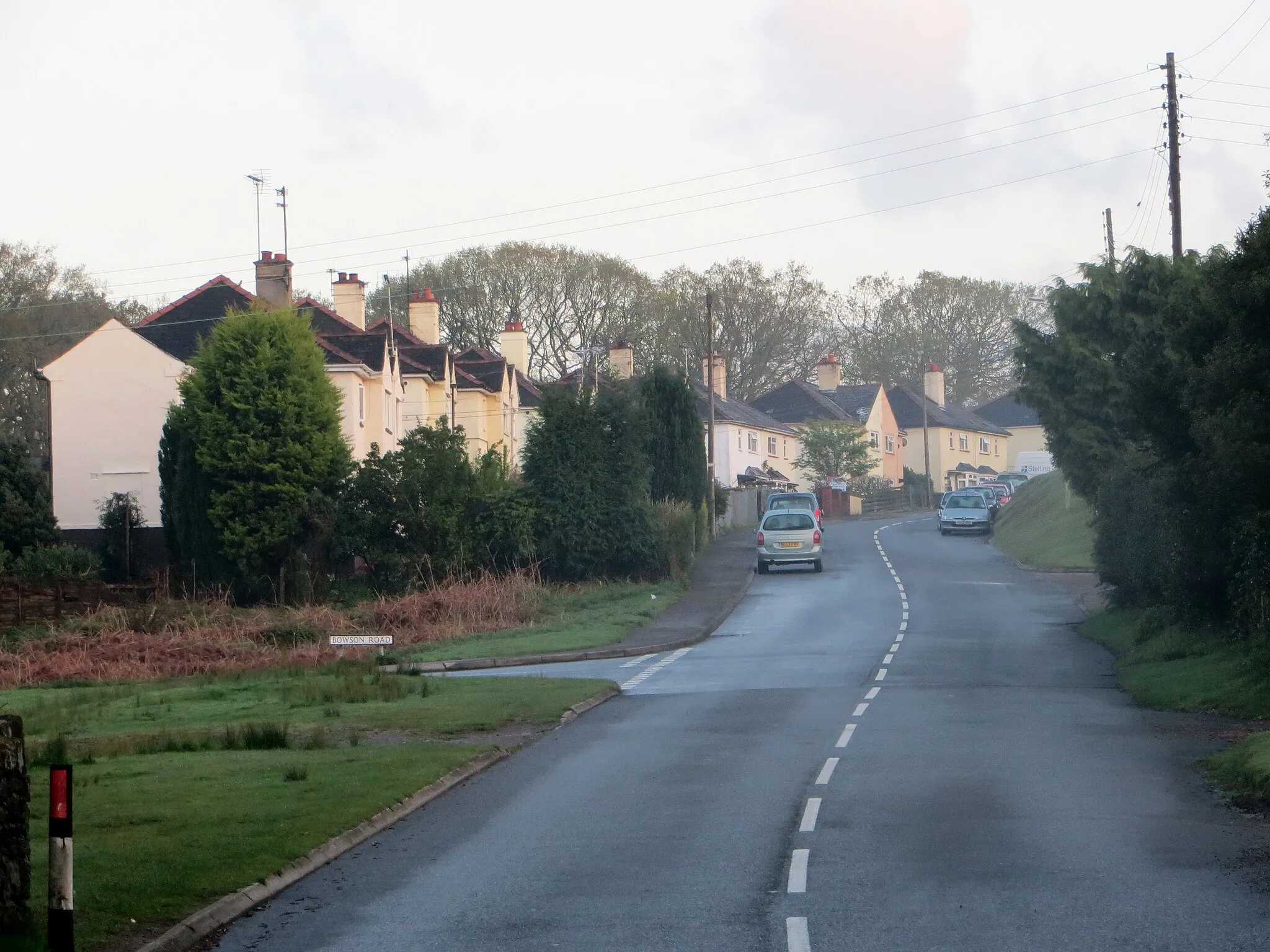
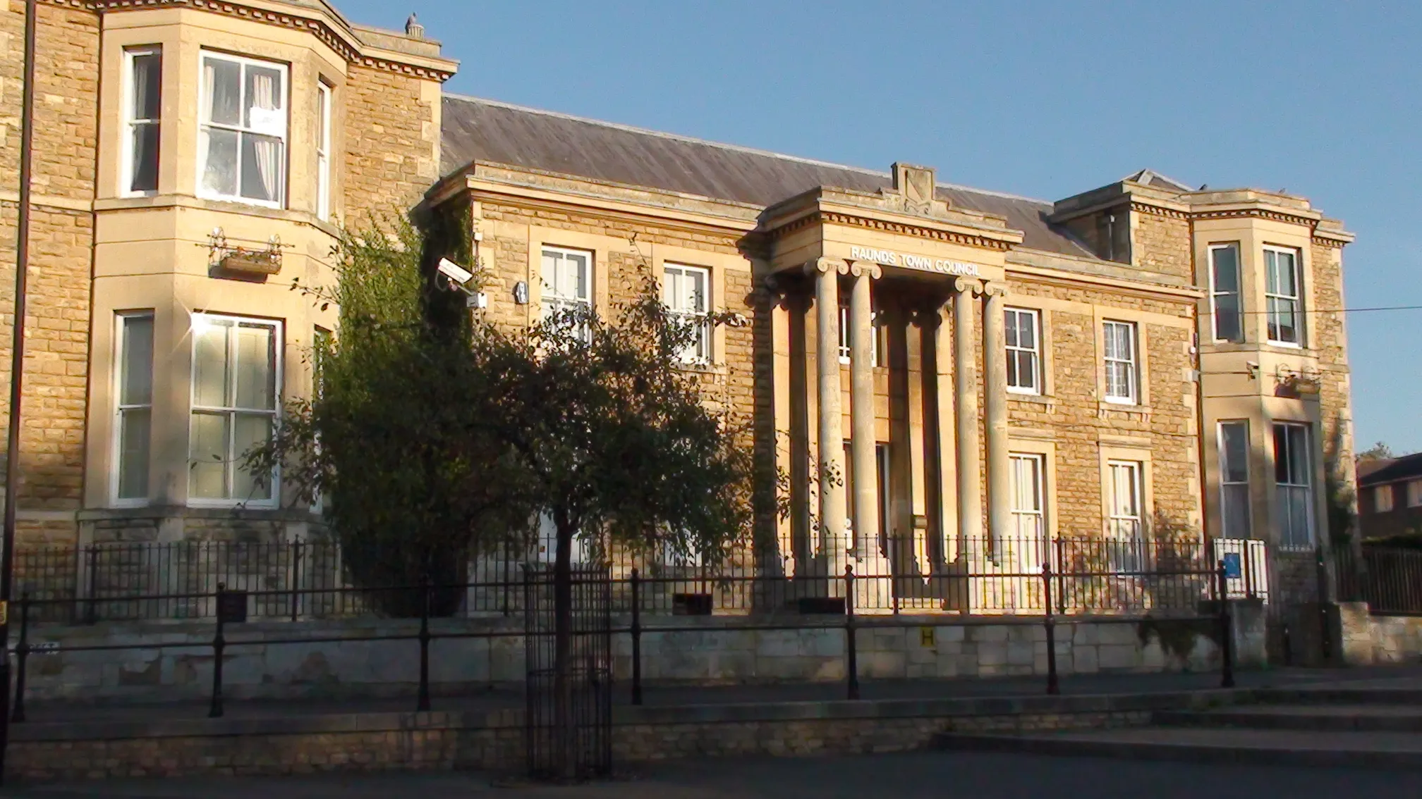
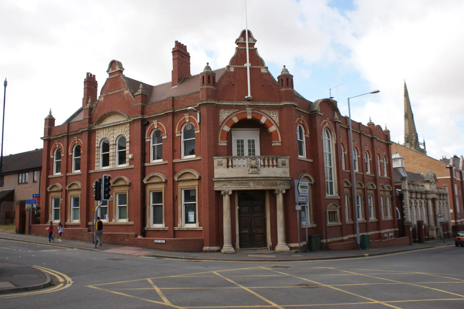
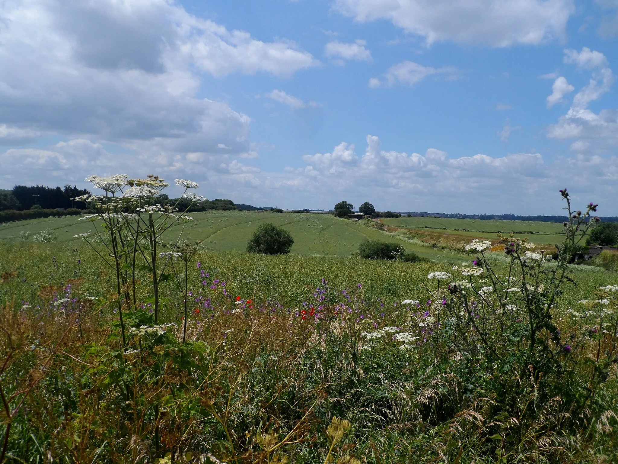
Stanwick, located in Leicestershire, Rutland, and Northamptonshire in the United Kingdom, offers a great cycling experience. With its scenic landscapes and well-maintained roads, it is a cyclist's paradise. The locality features several cycling routes that are suitable for both road and gravel cyclists. One of the famous cycling spots near Stanwick is Rockingham Forest, which provides challenging climbs and beautiful scenery. As a result, Stanwick is ranked 4 for its exceptional cycling-friendly environment and diverse terrain.
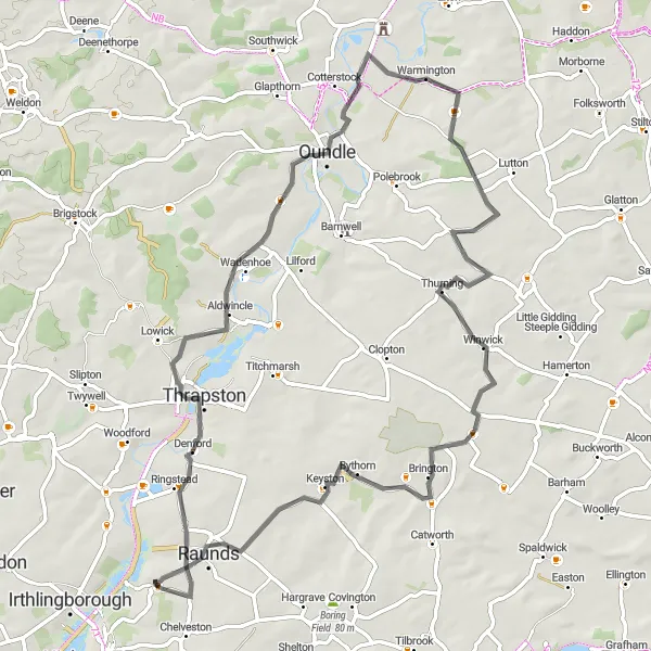
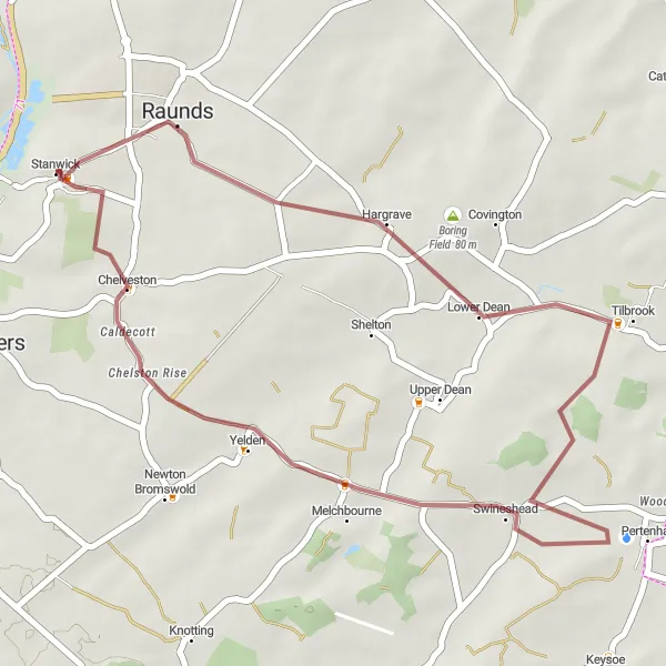
Stanwick Loop
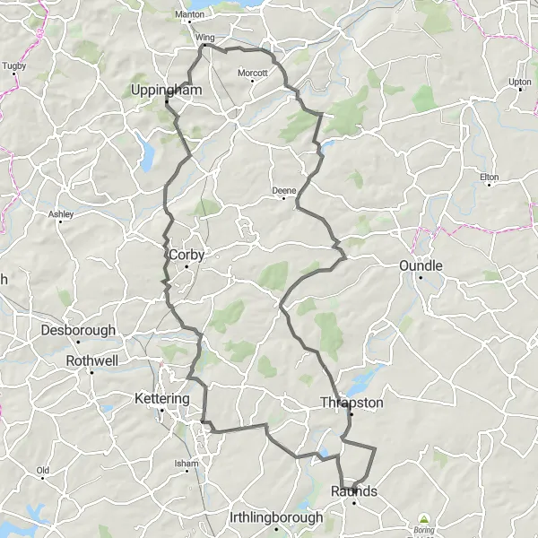
An exhilarating ride with stunning views and challenging climbs.
The Stanwick Loop is a diverse cycling route that explores the beautiful countryside of Leicestershire, Rutland, and Northamptonshire. The route covers a distance of 96 km and has a total ascent of 747 meters. It offers a range of terrain, including scenic country roads and challenging climbs. The route passes through several villages and highlights the unique charm of the area. Overall, it's a fantastic cycling adventure that will test your skills and immerse you in the natural beauty of this region.
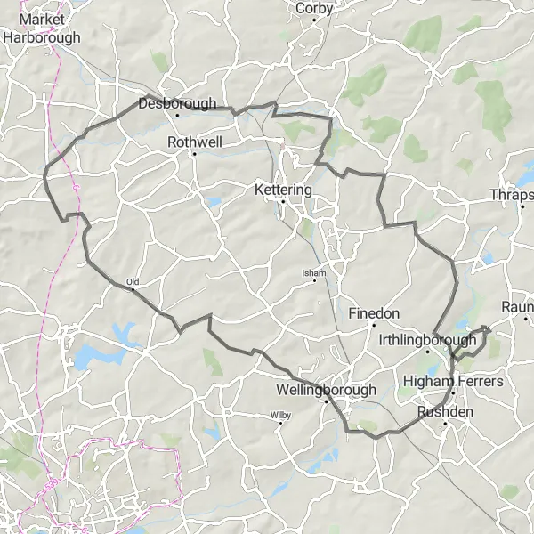
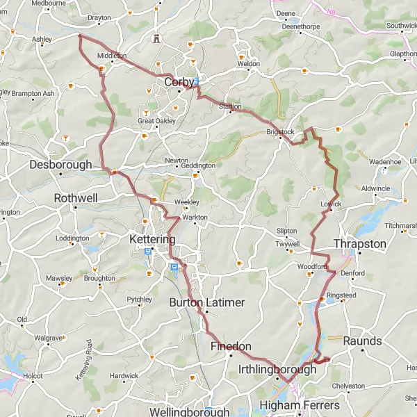
Explore Oundle
Embark on a scenic journey through the charming Oundle area.
The Explore Oundle route is a 69 km road cycling adventure that takes you on a memorable journey through the charming Oundle area. With a total ascent of 367 meters, this route combines picturesque countryside views with historic village charm. Highlights of the journey include Denford, a picturesque village known for its unique architecture, and Oundle, a historic market town with a vibrant arts scene. Throughout the ride, you'll be treated to stunning views of the Northamptonshire countryside and have the opportunity to explore quaint villages along the way. Whether you're a seasoned cyclist or just starting out, this route offers something for everyone.
The Quarry Trail
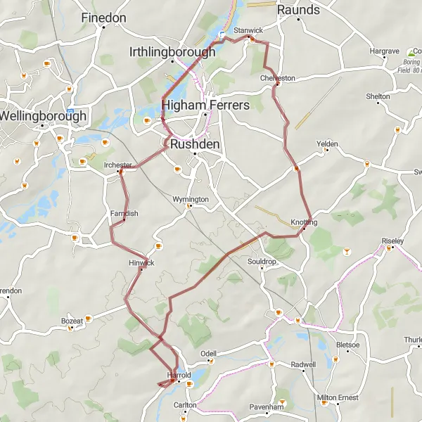
An off-road adventure through Stanwick Lakes and beyond.
The Quarry Trail is a thrilling gravel ride that takes you on an off-road adventure through the scenic Stanwick Lakes and beyond. With an ascent of 262 meters and a distance of 44 km, this route offers a combination of challenging terrain and breathtaking views. The highlight of the route is Stanwick Lakes, a nature reserve and country park with stunning lakeside trails and abundant wildlife. Along the way, you'll also pass through charming villages, each with its own unique character. This route is perfect for those looking to explore the beauty of nature and challenge themselves on gravel tracks.
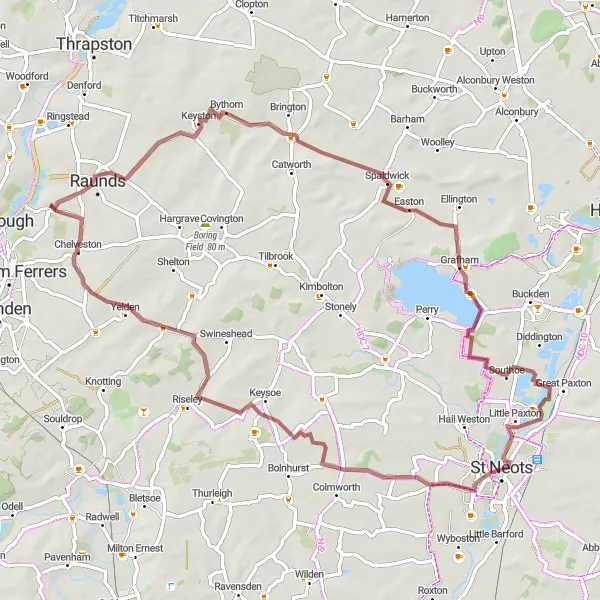
Rutland Adventure

A thrilling ride through the stunning Rutland countryside.
The Rutland Adventure is a road cycling route that takes you on a memorable journey through the picturesque Rutland countryside. With a distance of 91 km and an ascent of 359 meters, this route offers a mix of challenging climbs and beautiful views. Along the way, you'll pass through charming villages and scenic landscapes. The highlight of the route is Grafham Water, a large reservoir with stunning views and plenty of recreational activities. The route is suitable for riders with a moderate level of fitness and provides a thrilling adventure for all cycling enthusiasts.

A gravel adventure showcasing the diversity of landscapes in Leicestershire and Northamptonshire
Embark on The Gravel Escape and discover the diverse landscapes of Leicestershire and Northamptonshire. This 53-kilometer gravel adventure offers a moderate ascent of 347 meters. Explore the hidden gems of Caldecott, Riseley, Felmersham, Wymington, and end at the popular Stanwick Lakes. Difficulty: 3 Epicness: 2
The Three Counties Gravel Ride
A gravel adventure through Leicestershire, Rutland, and Northamptonshire
Embark on this scenic gravel ride that takes you through the beautiful countryside of Leicestershire, Rutland, and Northamptonshire. With a moderate ascent of 342 meters and a distance of 72 kilometers, this route offers a satisfying challenge for experienced cyclists. The Three Counties Gravel Ride provides stunning views of the Keyston area, passing through the picturesque villages of Spaldwick, Southoe, St Neots, Keysoe, and ends at the charming village of Caldecott. Difficulty: 4 Epicness: 3
A road cycling adventure uncovering Northamptonshire's hidden gems
Discover the hidden gems of Northamptonshire on this road cycling adventure. With a distance of 81 kilometers and an ascent of 663 meters, this route offers a challenging yet rewarding experience. Explore the historic highlights of Chichele College, witness the awe-inspiring Quarry Face, visit the iconic Hardwick, and marvel at the Triangular Lodge before ending at Great Addington. Difficulty: 5 Epicness: 4

A road cycling tour through the picturesque countryside of Leicestershire and Northamptonshire
Experience the tranquil beauty of Leicestershire and Northamptonshire on The Countryside Loop. This road cycling tour covers 74 kilometers with a moderate ascent of 382 meters. Discover the idyllic villages of Catworth, Stonely, Ravensden, Knotting Green, and end at the charming town of Raunds. Difficulty: 3 Epicness: 2
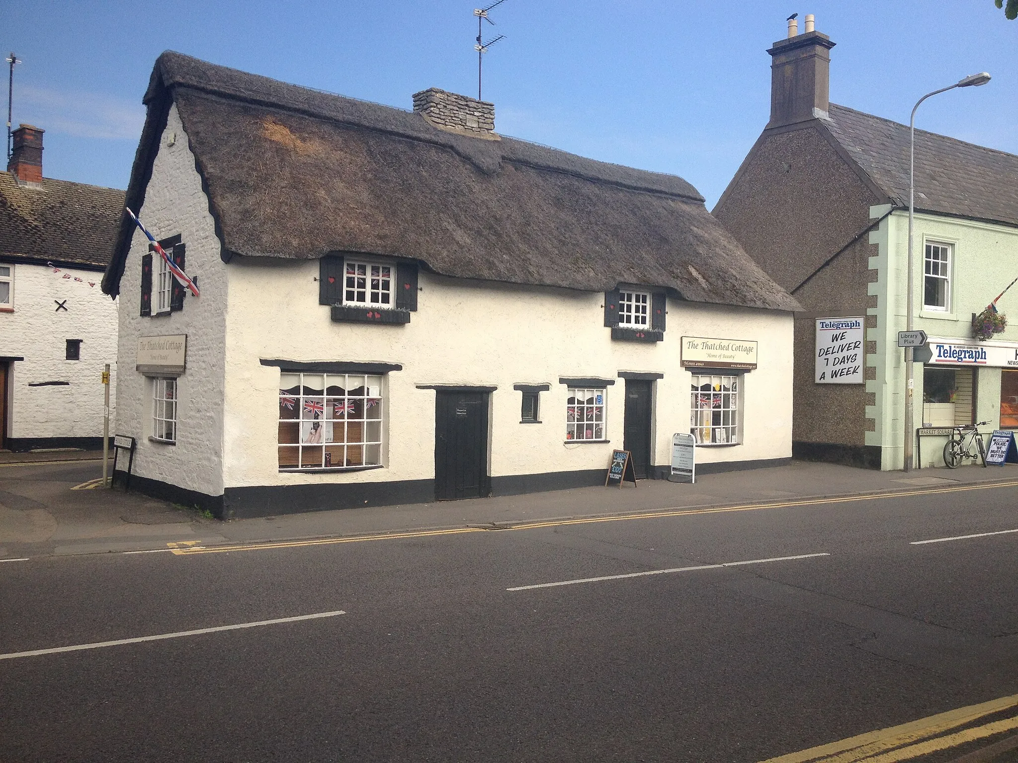
Discover the off-road beauty of the Caldecott area.
The Caldecott Gravel Ride is a short yet rewarding cycling route through the scenic Caldecott area. With an ascent of 214 meters and a distance of 31 km, this gravel route is perfect for those looking for a taste of off-road adventure. Along the way, you'll pass through picturesque villages and enjoy the tranquility of the countryside. The highlight of this route is Caldecott, a quaint village renowned for its charming thatched cottages and friendly atmosphere. Join this gravel ride and immerse yourself in the natural beauty of the Caldecott area.
The Rutland Ramble
A gravel ride exploring Rutland's picturesque countryside and lakes
Experience the beauty of Rutland's countryside and lakes on The Rutland Ramble. This gravel ride covers a distance of 76 kilometers with a challenging ascent of 468 meters. Explore the scenic villages of Irthlingborough, Pipewell, Corby, Brigstock, and end at the beautiful Stanwick Lakes. Difficulty: 4 Epicness: 3
Cycling routes nearby:


Nearby regions: