Tranquil countryside rides near scenic Rutland Water.
Cycling routes from Uppingham
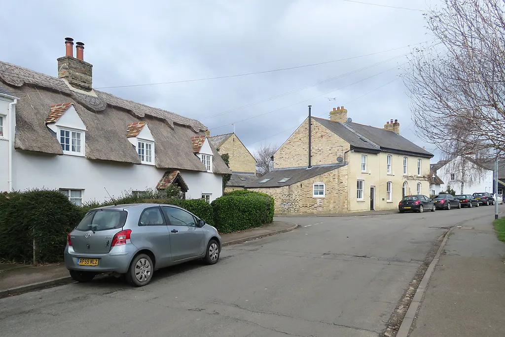
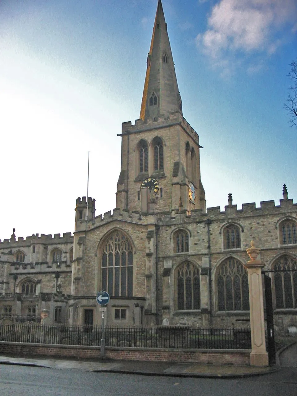
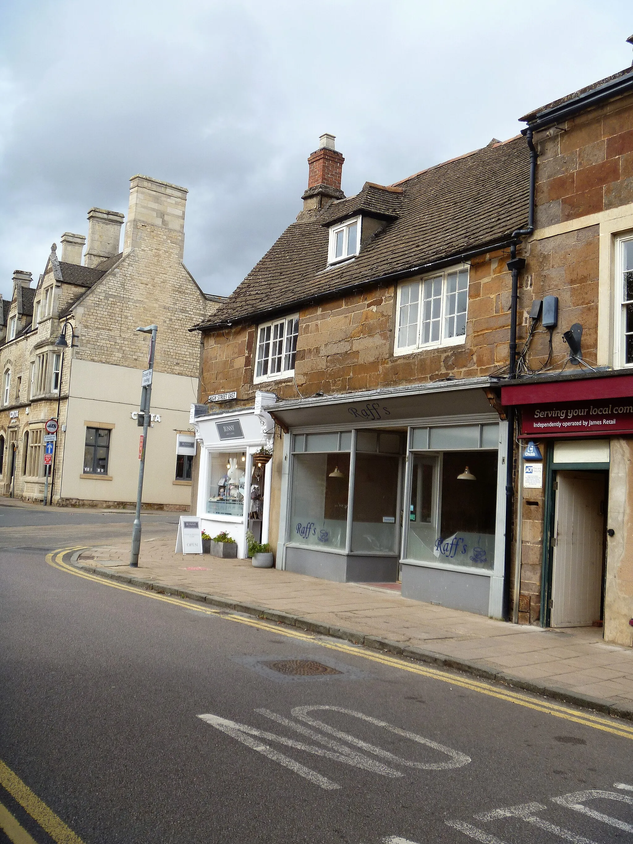
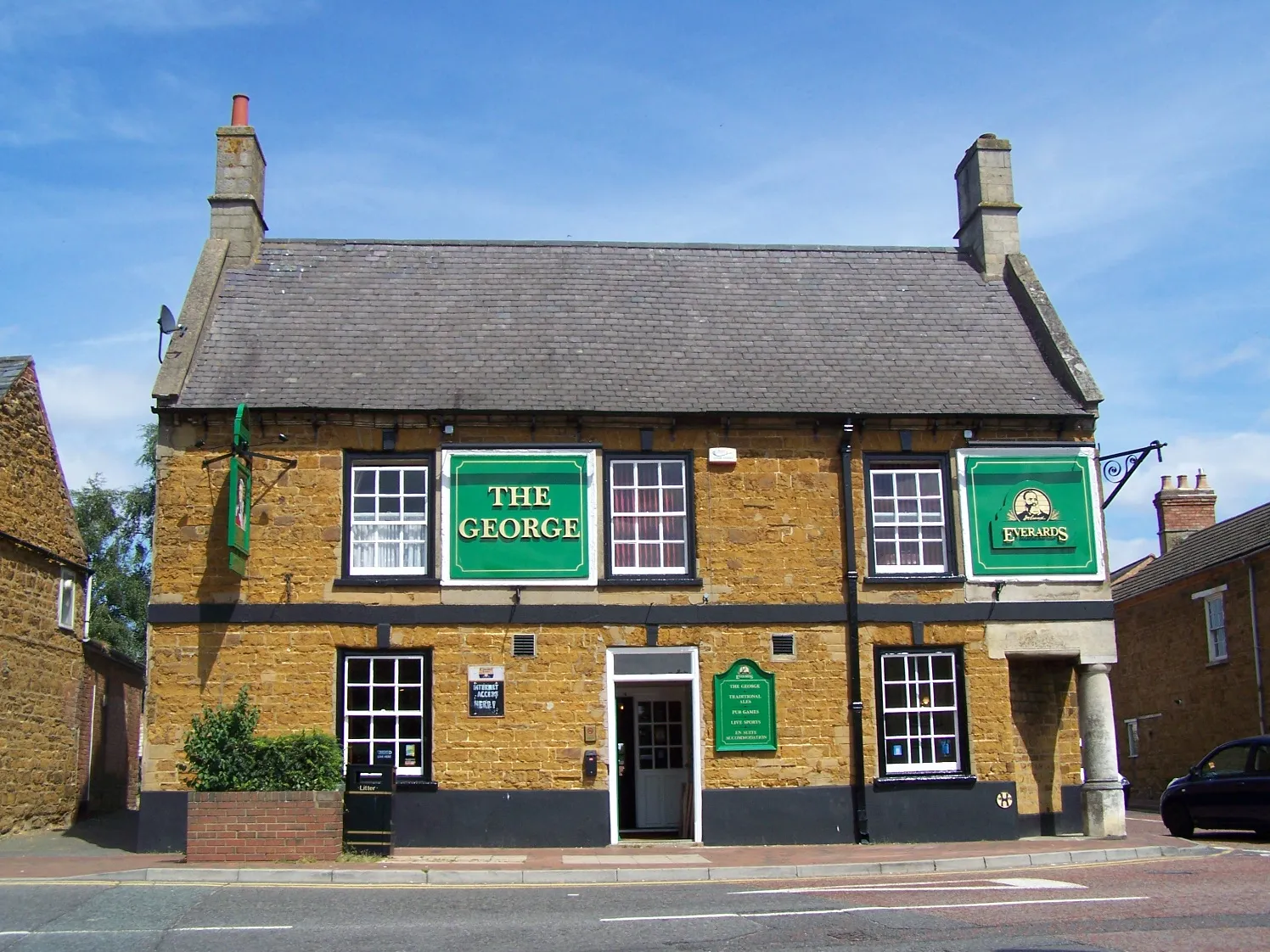
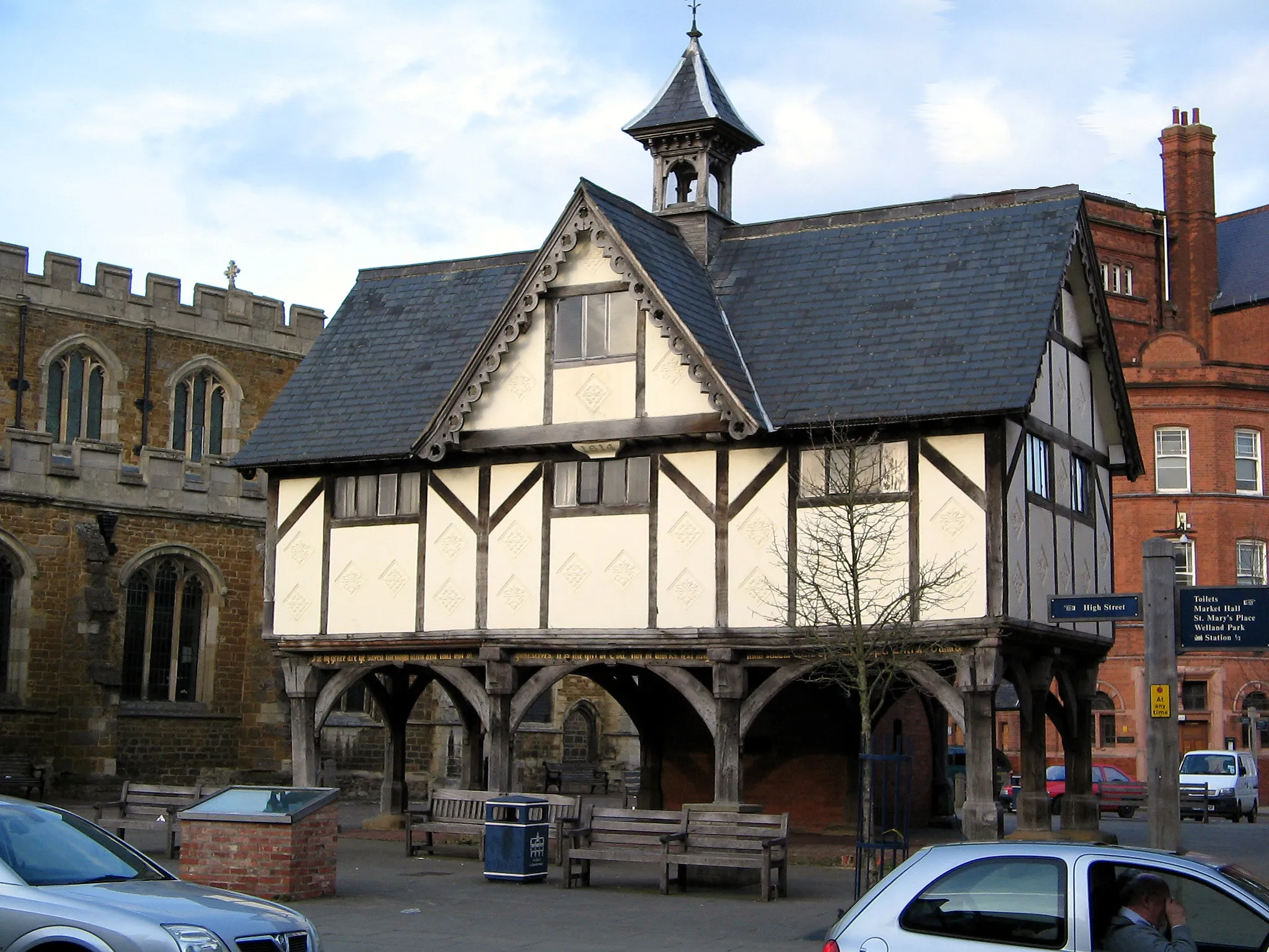
Uppingham, situated in Leicestershire, Rutland and Northamptonshire, United Kingdom, offers a delightful cycling experience amidst tranquil countryside surroundings. The locality features a mix of rolling hills, charming villages, and scenic routes, making it perfect for leisurely rides. Uppingham is also known for its proximity to Rutland Water, a popular cycling destination with a dedicated cycle path encircling the reservoir. Cyclists can enjoy the serene beauty of Rutland Water while pedaling along well-maintained paths. Overall, Uppingham provides a serene and enjoyable cycling getaway for riders of all levels.
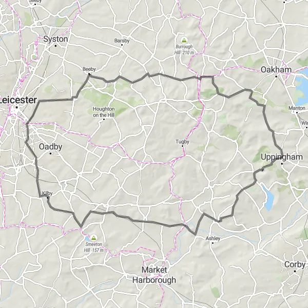
Hills and Valleys
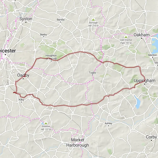
Explore the undulating landscapes of Leicestershire and Rutland
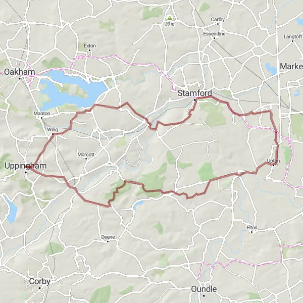
Hills and Valleys offers cyclists a 67-kilometer gravel route through the undulating landscapes of Leicestershire and Rutland. With a difficulty level of 3, it is suitable for well-trained amateur riders seeking a moderately challenging adventure. Highlights along the route include Hallaton, Kibworth Harcourt, Kilby Bridge, Bushby, Tilton on the Hill, and Ayston, providing riders with scenic vistas and picturesque villages to explore.
Rutland Explorer
Discover the enchanting landscapes of Rutland on this immersive road cycling route
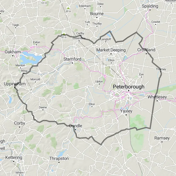
Rutland Explorer takes cyclists on a 137-kilometer journey through the captivating landscapes of Rutland. With a high difficulty level, this route is suitable for experienced riders. It offers an epic adventure with a challenging ascent of 592 meters. Highlights along the way include Empingham, Carlby, Deeping St Nicholas, Crowland, Pondersbridge, Great Gidding, Lower Benefield, and Lyddington.
The Lyndon Loop
Explore the picturesque villages and lush countryside along this gravel route.
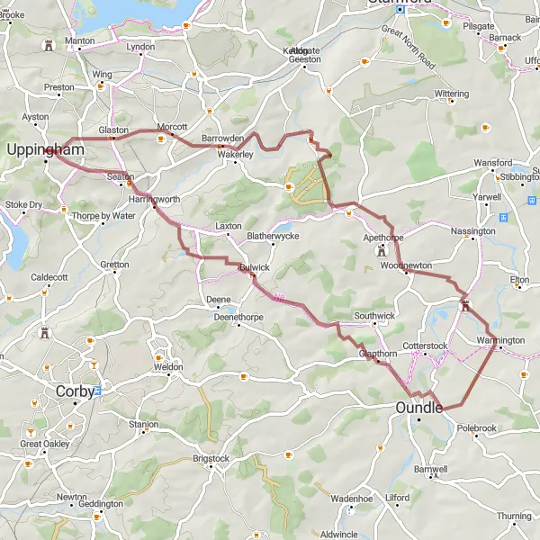
The Lyndon Loop is a scenic gravel route that takes you through picturesque villages and stunning countryside. With a total distance of 70 kilometers and an ascent of 642 meters, this route offers a challenging yet rewarding cycling experience. The terrain is a mix of gravel paths and quiet country lanes, providing a varied and enjoyable ride for gravel enthusiasts. Highlights along the route include Lyndon's charming village, Easton on the Hill with its historic architecture, Pilsgate's tranquil surroundings, the vibrant village of Wansford, King's Cliffe's idyllic setting, and Harringworth's picturesque beauty.
Embark on a road cycling adventure through the beautiful countryside surrounding Bisbrooke.
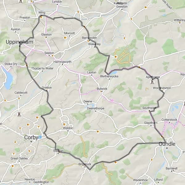
The Bisbrooke Beauty offers a scenic road cycling experience, covering a distance of 79 kilometers with an ascent of 583 meters. This route takes you through the enchanting countryside surrounding Bisbrooke, offering charming villages and stunning landscapes. Highlights along the route include Bisbrooke itself, a small village with picturesque views and traditional stone buildings, Blatherwycke known for its tranquil environment and historic church, Thorpe Waterville with its charming thatched cottages, Geddington offering glimpses of medieval history, and Thorpe by Water with its beautiful surroundings and peaceful atmosphere.
A road cycling adventure through the scenic landscapes of Northamptonshire
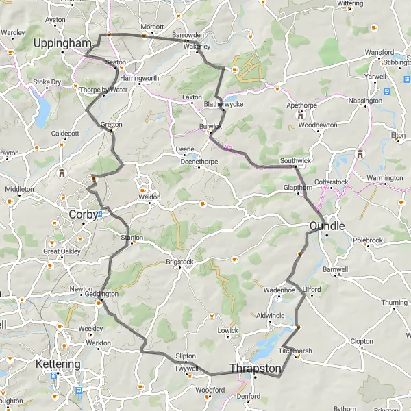
Discover Northamptonshire takes cyclists on a 68-kilometer road cycling adventure through the breathtaking landscapes of Northamptonshire. With a difficulty level of 3, it is suitable for well-trained amateur riders. This route features highlights such as Pilton, Apethorpe, Oundle, Brigstock, and Lyddington. It offers cyclists a chance to explore picturesque villages and soak in the natural beauty of Northamptonshire.
The Langton Loop
Experience a road cycling adventure through the charming villages of West Langton and Medbourne.
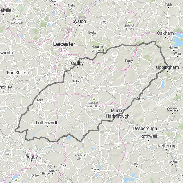
The Langton Loop is a road cycling route that spans 83 kilometers with a challenging ascent of 795 meters. This route takes you through picturesque villages, including West Langton and Medbourne, offering scenic views and well-maintained roads. Highlights along the route include Medbourne, a village with a rich history and quaint charm, West Langton with its beautiful cottages and open countryside, Kilby Bridge offering tranquil waterside views, Scraptoft known for its lush green surroundings, Owston with its picturesque houses, and Ayston known for its traditional architecture and peaceful atmosphere.
Take on the challenging Bassett Hill and explore picturesque villages on this epic road cycling route.
The Bassett Hill Challenge is a demanding road cycling route covering a distance of 124 kilometers with an ascent of 1063 meters. This epic route takes you through various villages and offers breathtaking views, steep climbs, and thrilling descents. Highlights along the route include Sutton Bassett with its rural charm and picturesque setting, Rupert's Viewpoint providing panoramic vistas, South Kilworth known for its scenic countryside, Street Ashton offering a glimpse into local history, Claybrooke Parva with its quaint cottages, Wigston featuring a pleasant blend of rural and urban landscapes, Tilton on the Hill with its panoramic views, and Ayston known for its traditional architecture and tranquil atmosphere.
Eastern Trail
Cycling adventure through picturesque villages and beautiful countryside
Eastern Trail offers a scenic journey through Leicestershire, Rutland, and Northamptonshire. With a moderate difficulty level, it is suitable for well-trained amateur cyclists. The route covers a distance of 61 kilometers with an ascent of 460 meters. It is an epic experience, providing riders with breathtaking views and the opportunity to explore charming highlights such as Tixover, Fotheringhay, Glapthorn, and Harringworth.
Wolds and Woods
A gravel route through scenic woodland and charming villages
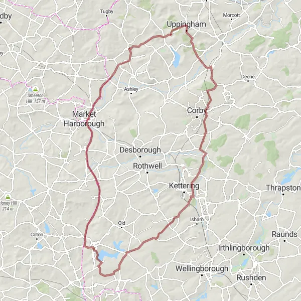
Wolds and Woods takes cyclists on a 92-kilometer off-road journey filled with natural beauty and rural charm. With a difficulty level of 4, it caters to experienced cyclists seeking an exhilarating adventure. The route features highlights such as Lyddington, Geddington, Pytchley, Holcot, Great Oxendon, and Horninghold, providing opportunities to explore enchanting woodlands and idyllic villages.
Embark on a gravel adventure through the scenic Tixover area.
The Tixover Trail is a shorter and less challenging gravel route, spanning 41 kilometers with an ascent of 411 meters. This route offers a scenic and enjoyable cycling experience, featuring the beautiful countryside surrounding Tixover. Highlights along the route include Tixover itself, known for its picturesque landscapes and rural charm, and Harringworth village, famous for its stunning viaduct and idyllic setting.
Cycling routes nearby:
Nearby regions: