Cycling in the Peaceful Countryside
Cycling routes from Maghull
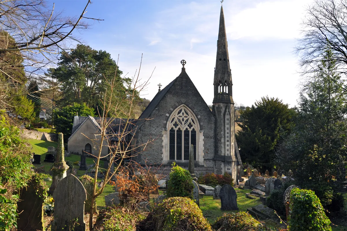
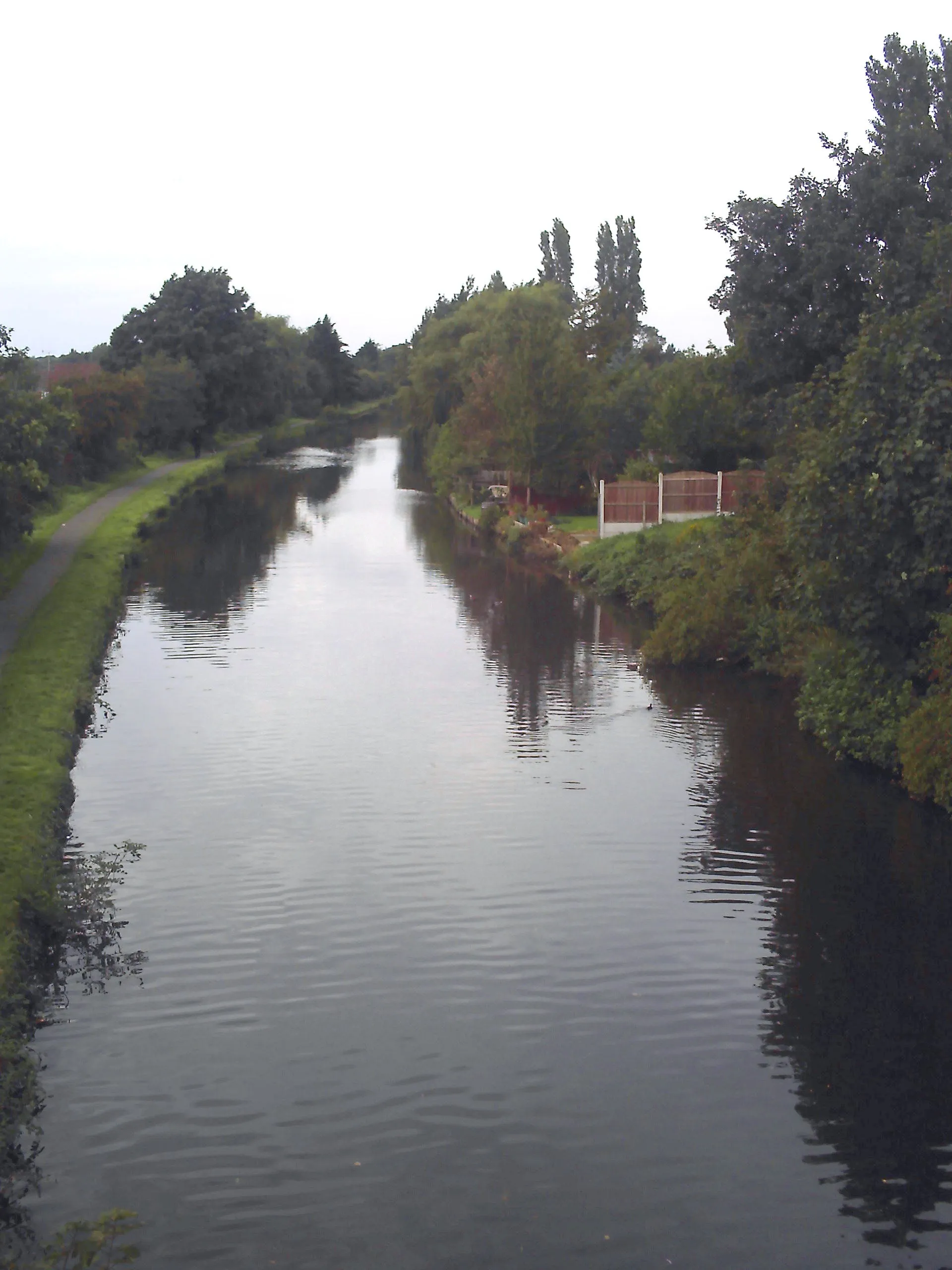
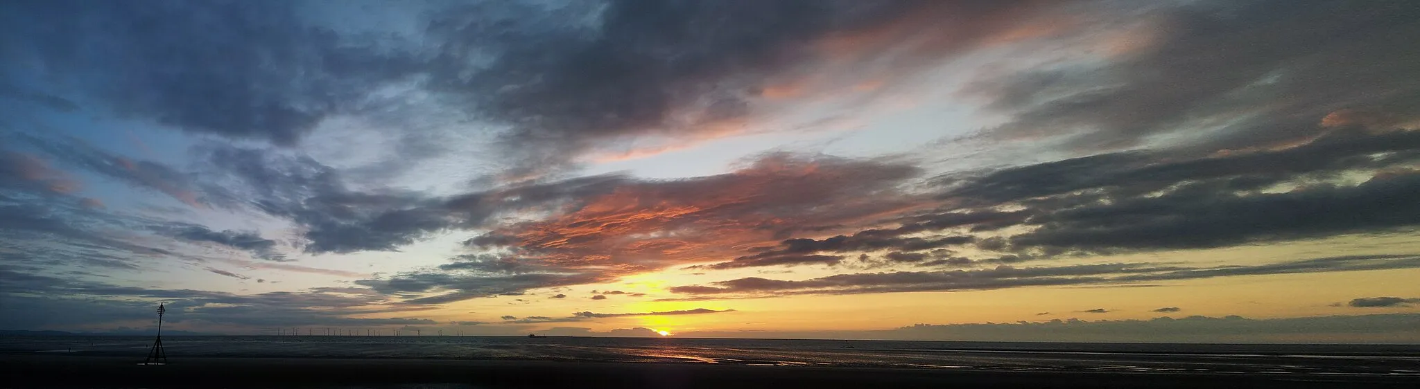
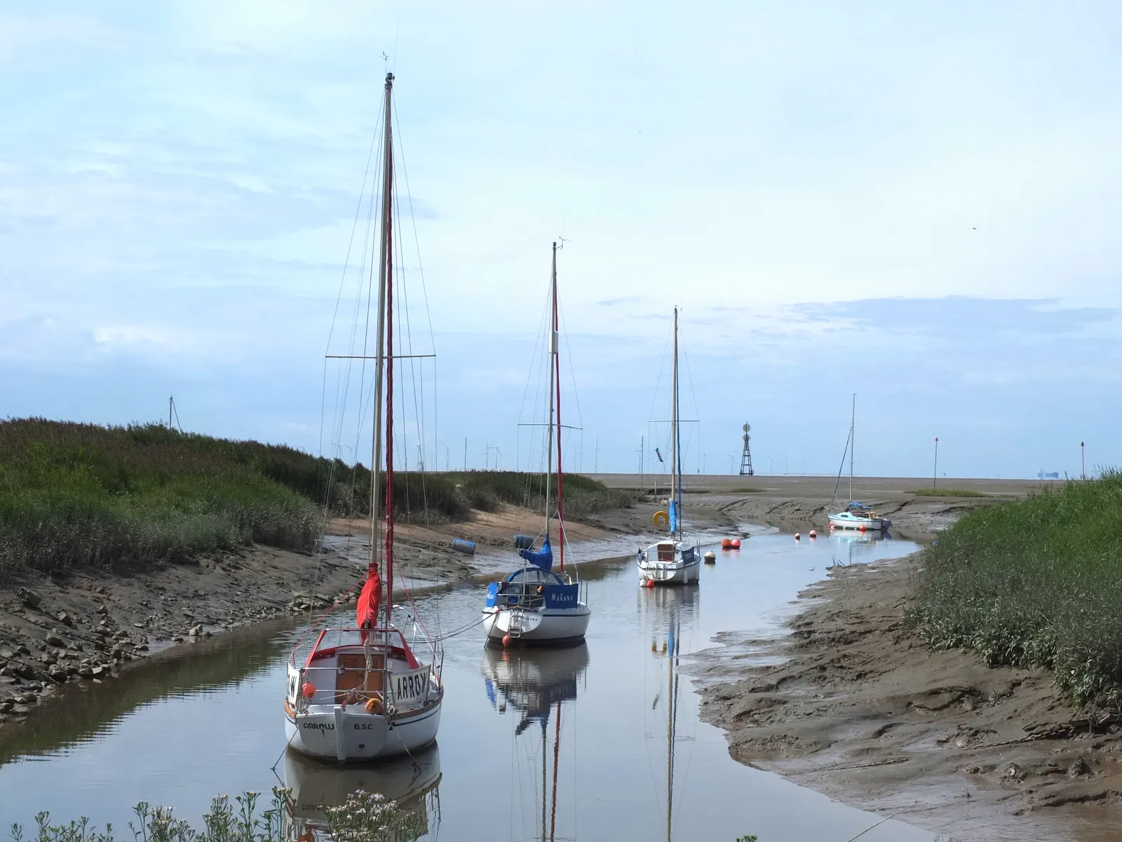
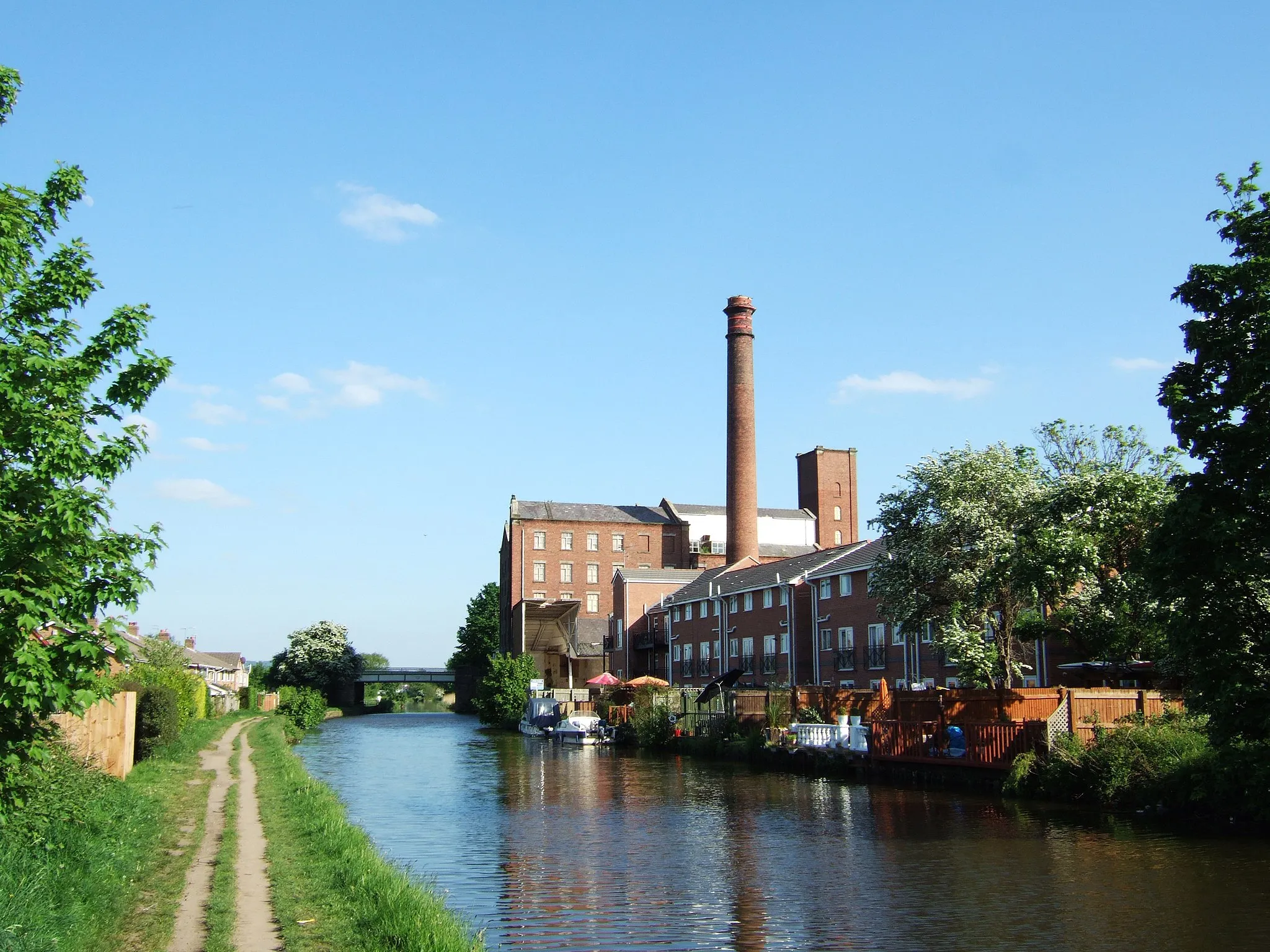
From a cyclist's perspective, Maghull in Merseyside, United Kingdom is a moderately suitable locality for cycling. The roads are mostly flat, making it easy to cover long distances. However, there are limited options for gravel cycling as the majority of roads are paved. Maghull is known for its peaceful countryside and charming villages. One notable cycling route nearby is the Cheshire Cycleway which takes you through picturesque landscapes. Overall, Maghull is a good base for exploring the surrounding countryside and enjoying leisurely road cycling.

Embark on an adventurous road cycling journey from Ormskirk to Simonswood.
This 77-kilometer road cycling route will take you through the stunning countryside of Ormskirk, offering beautiful views and a chance to connect with nature. Experience the thrill of tackling challenging ascents, with a total climb of 341 meters. Discover hidden gems along the way, such as the picturesque village of Melling Mount and the tranquil Simonswood Forest, known for its breathtaking beauty.

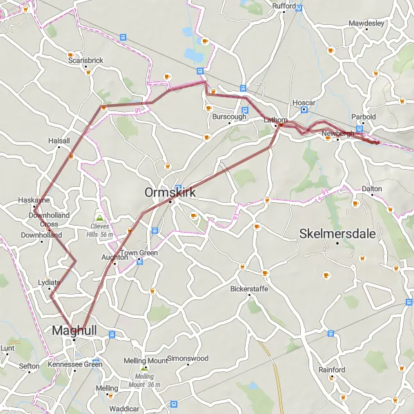
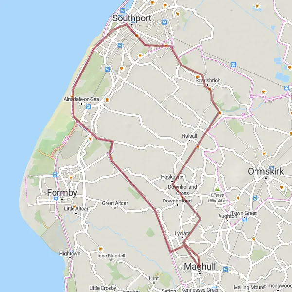
Discover the countryside on this gravel route from Maghull to Lydiate.
Experience the beauty of the countryside on this gravel route, with highlights including Birkdale and Scarisbrick. The route covers a distance of 50 kilometers with an ascent of 40 meters. It is suitable for well-trained amateur cyclists looking for a scenic and enjoyable ride. Along the way, you'll pass through charming villages, admire stunning rural landscapes, and have the opportunity to discover hidden gems in the area.
Embark on an adventurous gravel ride through Halsall and its surrounding areas.
Get ready for an exciting and challenging gravel ride that takes you through the captivating landscapes of Halsall. With a distance of 60 km and an ascent of 164 meters, this route offers a rewarding experience for experienced cyclists. Discover hidden gems and beautiful scenery as you navigate through the region.

Explore the scenic countryside on this road cycling route from Maghull to Burscough.
This road route offers a pleasant journey through the countryside, with highlights including Melling Mount, Simonswood, Burscough, and Maghull. The route covers a distance of 41 kilometers with an ascent of 142 meters. It is suitable for well-trained amateur cyclists looking for a moderately challenging ride. Along the way, you'll pass through charming villages, admire picturesque landscapes, and soak in the tranquility of the rural setting.
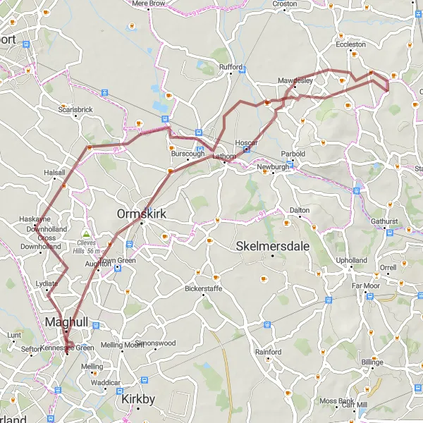
Maghull to Ormskirk Gravel Route
Explore the countryside around Maghull and discover the charming town of Ormskirk.
This gravel route takes you through scenic countryside, with highlights including Burscough and Parbold. The route is relatively easy and suitable for well-trained amateur cyclists. It offers a great opportunity to explore the local area and enjoy the peaceful surroundings. The route covers a distance of 42 kilometers with an ascent of 86 meters.
Melling Mount and Kirkby Trail

Explore the scenic beauty of Melling Mount and Kirkby on this gravel cycling route.
Embark on a picturesque gravel cycling adventure that takes you through the breathtaking landscapes of Melling Mount and Kirkby. Enjoy the serenity of the countryside as you ride along this 19 km route, with a gentle ascent of 40 meters. This route is suitable for all levels of cyclists and offers a unique blend of natural and man-made highlights.

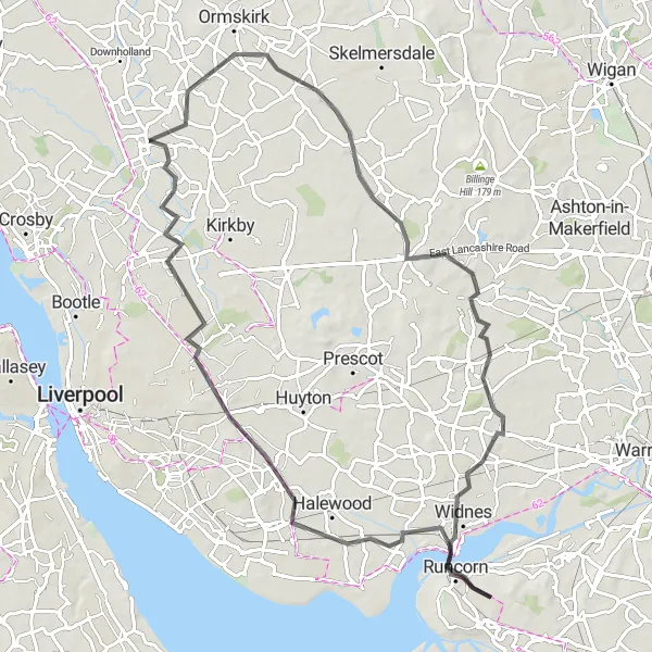
Embark on a challenging road cycling journey from Maghull to Wigan.
This road route is more challenging and covers a longer distance of 103 kilometers with an ascent of 407 meters. Highlights along the route include Ormskirk, Ashurst's Beacon, Wigan, Leigh, Lymm, Lymm Dam, Pex Hill, Whiston, Kirkby, and Melling Mount. The route is suitable for well-trained amateur cyclists looking for an epic cycling experience. It offers a mix of beautiful countryside views and visits to notable towns and landmarks along the way.
Childwall and Aintree Circuit
Embark on a thrilling road cycling journey through the beautiful suburbs of Childwall and Aintree.
This 78-kilometer road cycling route takes you through the picturesque suburbs of Childwall and Aintree, offering stunning views of the surrounding countryside. With a total ascent of 279 meters, this route is perfect for experienced cyclists looking for a challenging ride. Take in the historic sights of Childwall, known for its ancient motte and Bailey castle, and the famous Aintree Racecourse, home to the iconic Grand National horse race.
Experience the beauty of the countryside on this gravel route from Maghull to Lydiate.
This gravel route takes you through scenic countryside, with highlights including Birkdale and Scarisbrick. The route is relatively easy and suitable for well-trained amateur cyclists. It offers a great opportunity to enjoy the peaceful surroundings and explore the local area. The route covers a distance of 41 kilometers with an ascent of 26 meters.
Warrington and Widnes Loop
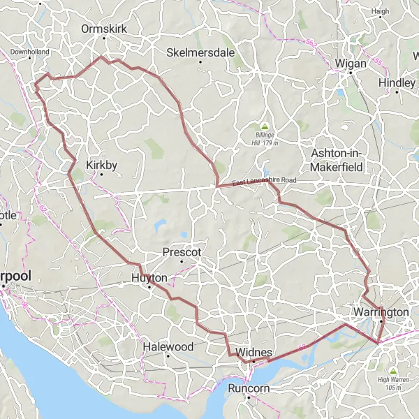
Explore the historic towns of Warrington and Widnes on this gravel cycling route.
This 81-kilometer route takes you on a journey through the scenic beauty of Merseyside. Starting in Maghull, you will pass through Warrington, known for its industrial heritage, and Widnes, famous for its iconic transport links. The route offers a mixture of gravel tracks and quiet country roads, providing a varied and enjoyable cycling experience. With a total ascent of 177 meters, it is suitable for moderately experienced cyclists.
Cycling routes nearby:


Nearby regions: