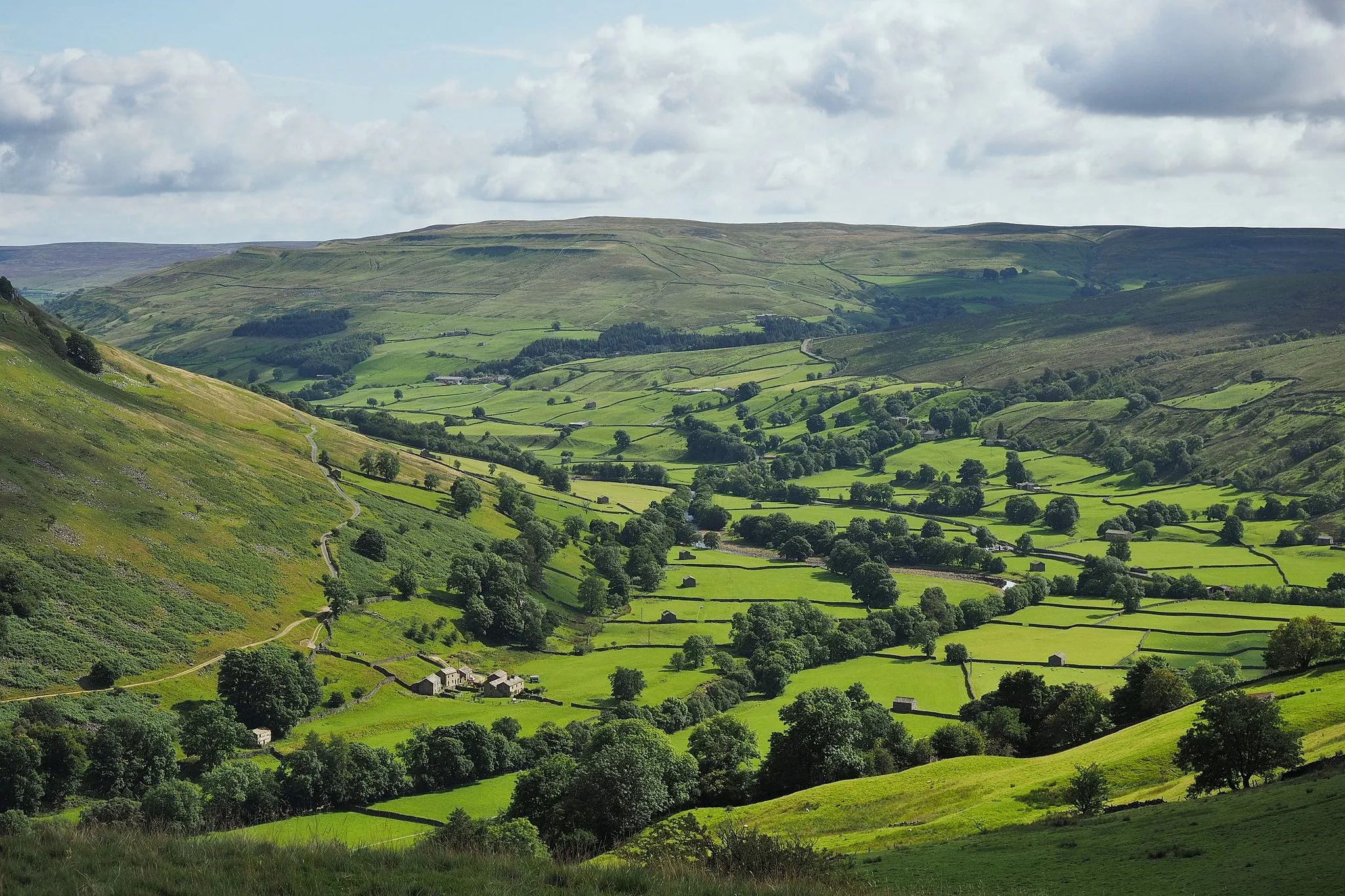
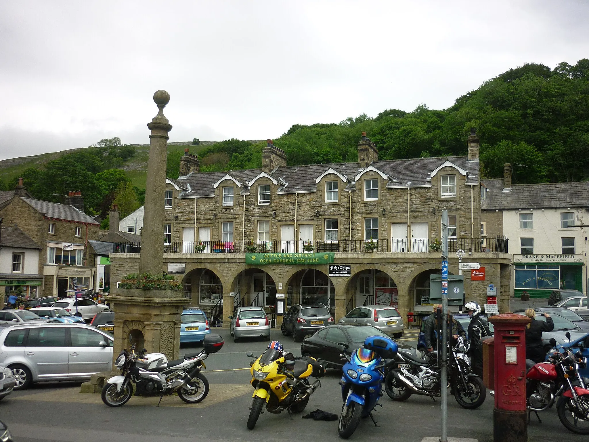
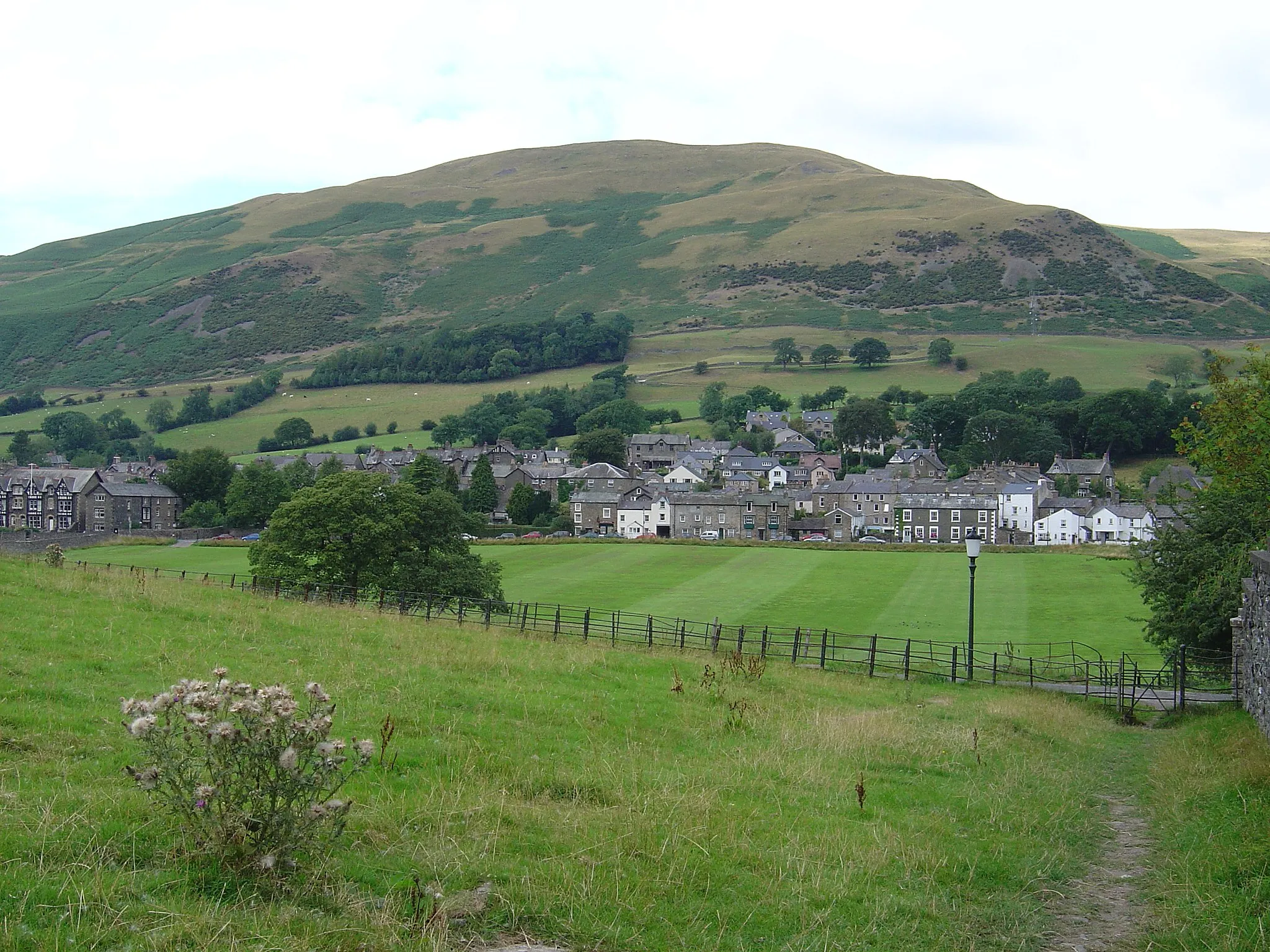
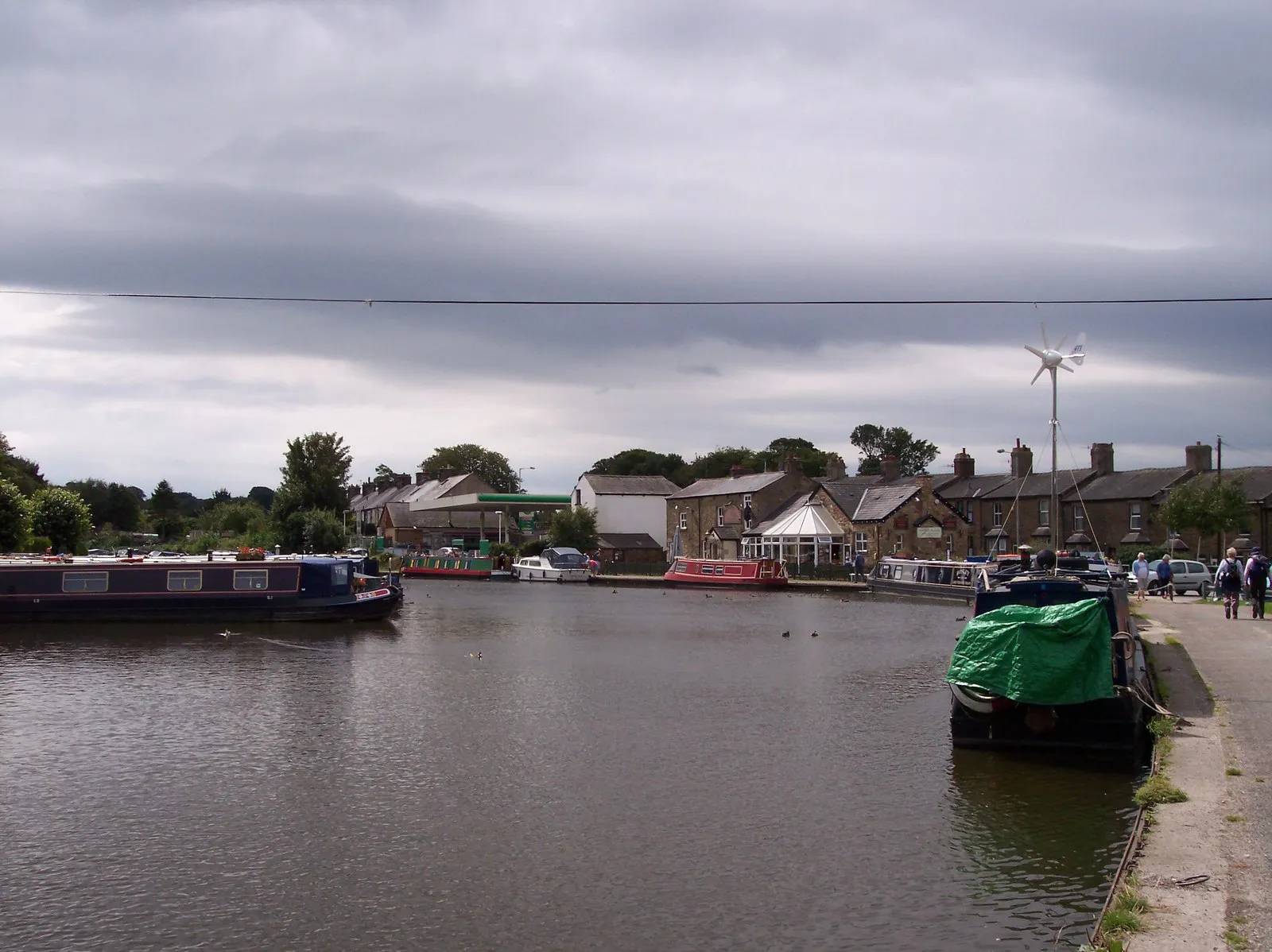
Nature's haven for cyclists in North Yorkshire, UK, with waterfalls and access to Yorkshire Dales National Park.
Cycling routes from Ingleton
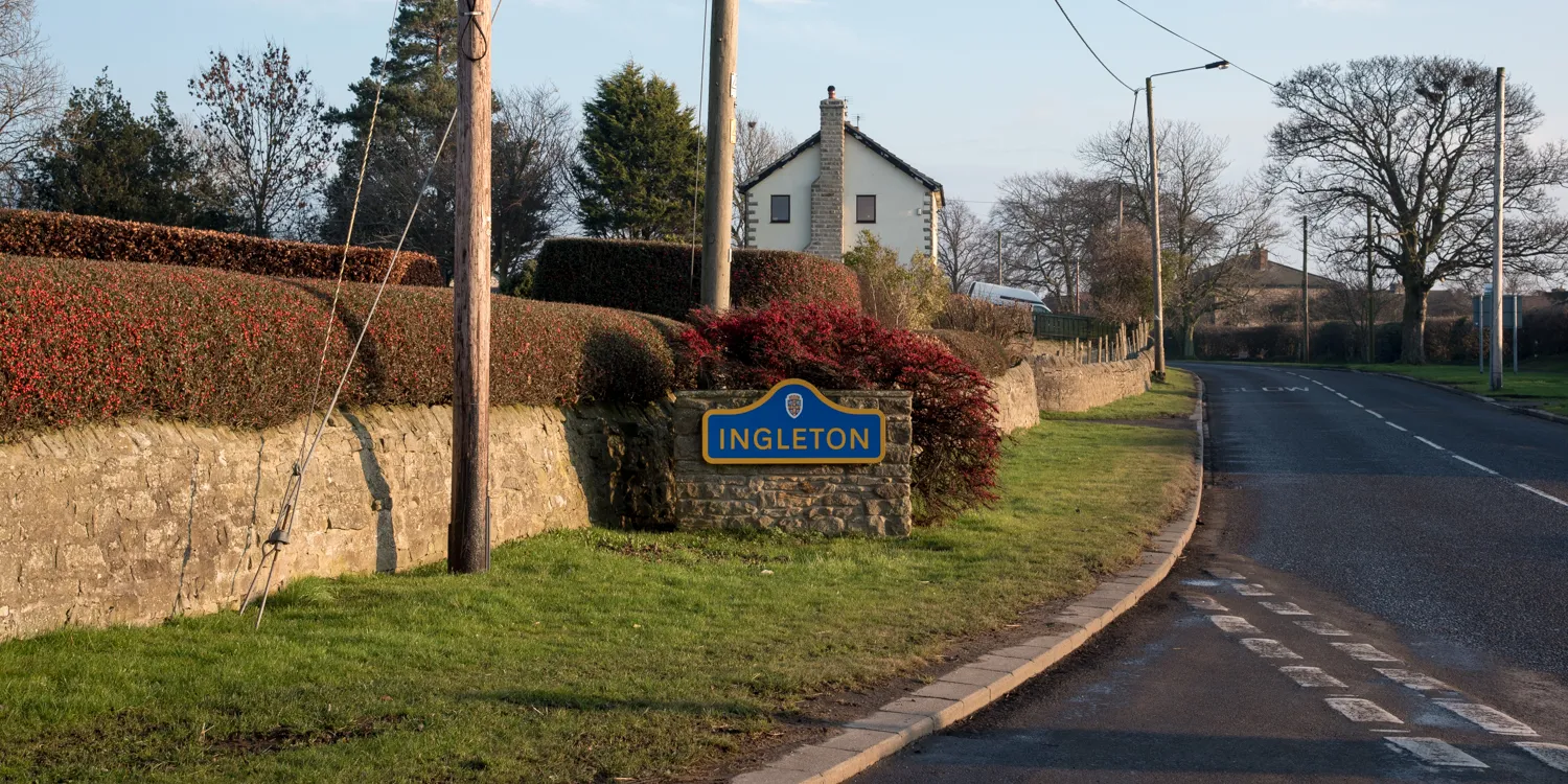
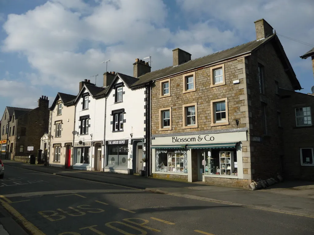
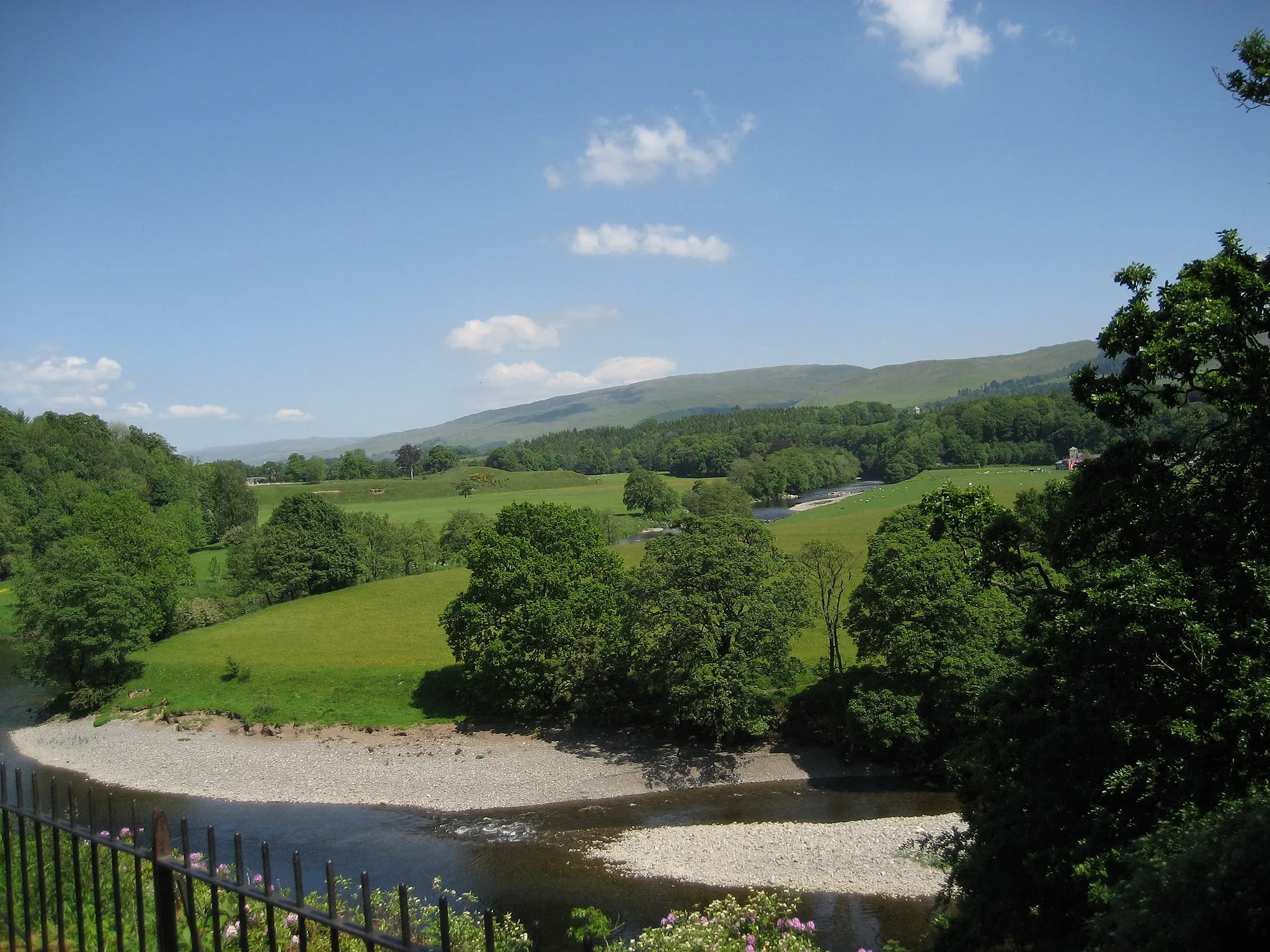
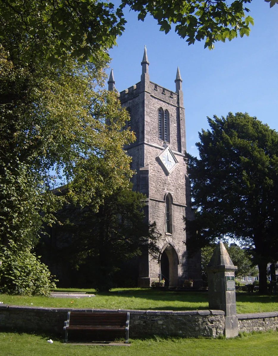
Ingleton, located in North Yorkshire, United Kingdom, is a cyclist-friendly locality known for its impressive natural features and cycling opportunities. The famous Ingleton Waterfalls Trail attracts cyclists who enjoy combining outdoor adventure with picturesque scenery. With its rolling hills and charming villages, Ingleton offers a variety of road and gravel cycling routes. Additionally, the Yorkshire Dales National Park is within close reach, providing an abundance of remarkable landscapes and legendary climbs for avid cyclists.
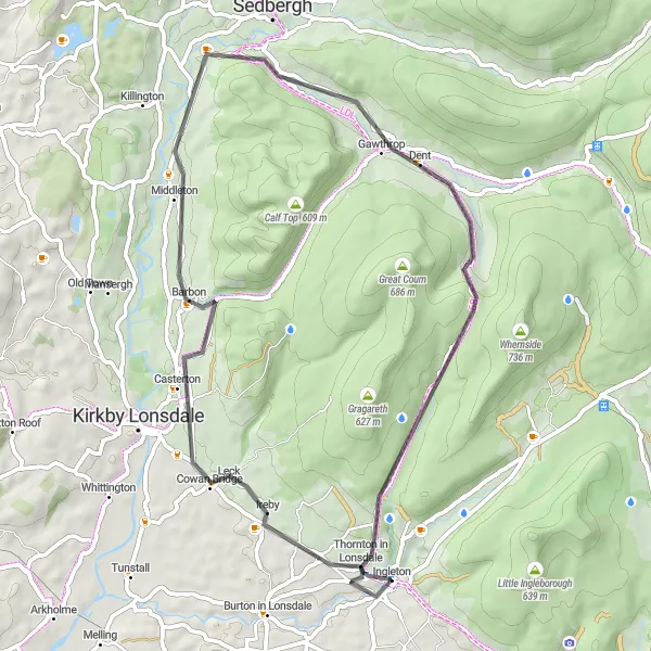
Experience the charm of North Yorkshire on this 52km road loop near Ingleton
This 52km road loop is perfect for cyclists looking to experience the charm of North Yorkshire. With an ascent of 676m, the route offers a moderate challenge suitable for well-trained amateurs. Starting near Ingleton, riders will pass through the scenic area of Masongill and Fell Garth before reaching Helms Knott, known for its stunning views. The route also includes a stop at Gawthrop, allowing cyclists to enjoy its beauty. The difficulty level is rated at 3, and the epicness score is 2, as it doesn't include any legendary climbs or famous spots.
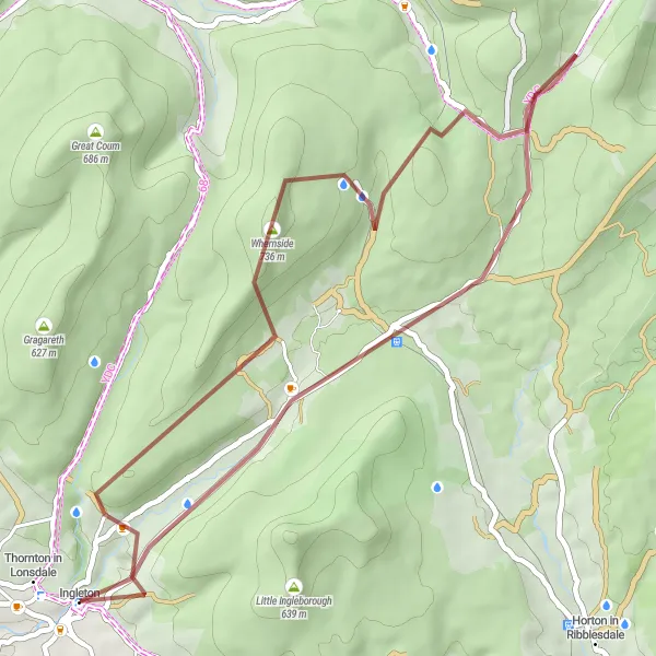
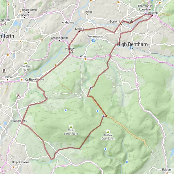
The Scar End Gravel Adventure
Embark on an exciting gravel adventure through diverse landscapes near Ingleton
This route takes you on a 41km gravel adventure near Ingleton, North Yorkshire. With a challenging ascent of 998m, riders will experience stunning views and diverse landscapes. Starting from Ingleton, the route points towards Scar End, providing a unique cycling experience for gravel enthusiasts. The difficulty level is moderate, suitable for well-trained amateurs. The epicness of this route is rated at 3 as it offers beautiful scenery but not necessarily any legendary points.
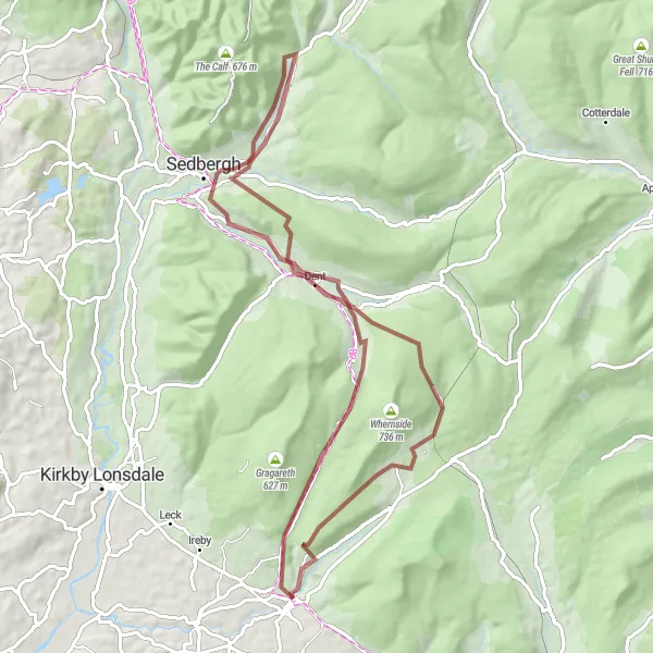
Challenge yourself with a thrilling gravel ride through gorges and breathtaking landscapes
Prepare for an adrenaline-fueled adventure as you conquer daring gorges and soak in breathtaking landscapes on this challenging gravel ride. With a distance of 68 kilometers and an ascent of 1350 meters, this route is recommended for experienced gravel cyclists. Highlights along the way include the picturesque Baxenghyll Gorge with its dramatic rock formations, Scar End providing stunning views, the quaint village of Dent with its charming streets, Narthwaite offering panoramic vistas, Sedbergh with its timeless appeal, Helms Knott showcasing the beauty of the area, and Thornton Force with its impressive waterfall.
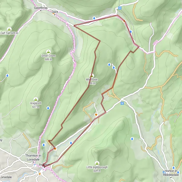
Embark on an exhilarating gravel adventure through the rugged terrain near Ingleton
Get ready for an adrenaline-packed adventure as you tackle the challenging gravel roads near Ingleton. With a distance of 42 kilometers and an ascent of 1037 meters, this route provides a thrilling experience for gravel enthusiasts. Along the way, you'll encounter highlights such as Scar End, a remote and lesser-known spot with stunning views, Whernside with its imposing presence, Gearstones with its unique rock formations, Sandy Hill offering challenging terrain, and the charming village of Ingleton itself.
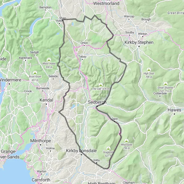
Ingleton Heritage Trail

Discover the heritage of Ingleton and the surrounding area on this road cycling route
Experience the rich history and scenic landscapes of Ingleton and its surroundings on this road cycling route. With a total distance of 78 kilometers and an ascent of 1210 meters, this route offers a challenging ride for experienced cyclists. Along the way, you'll encounter various highlights, including the picturesque town of Kirkby Lonsdale, Ruskin's View with its stunning vistas, Oxenholme with its charming railway station, the challenging climb up Winder, the tranquil village of Sedbergh, and the scenic Gawthrop area.
Uncover the hidden gems of North Yorkshire's countryside on this thrilling gravel cycling route
This exhilarating gravel route near Ingleton takes you through the breathtaking landscapes of North Yorkshire. With a total distance of 68 km and an ascent of 1135 meters, this challenging ride is perfect for well-trained amateur cyclists seeking an off-road adventure. The route showcases the region's stunning natural scenery and includes several highlights along the way.
Explore the stunning Yorkshire countryside on this challenging road cycling route.
Embark on a thrilling cycling adventure through the picturesque landscapes of Yorkshire. This route combines a mix of challenging climbs, scenic rural roads, and cultural highlights. With its varied terrain, this route offers something for all cycling enthusiasts, from beginners to seasoned riders. Prepare to be enchanted by the lush green valleys, charming villages, and breathtaking views that await you on this unforgettable journey.

Embark on a scenic gravel ride through the beautiful North Yorkshire countryside
Immerse yourself in the picturesque North Yorkshire countryside as you embark on this gravel cycling adventure. With a distance of 55 kilometers and an ascent of 994 meters, this route offers a moderate challenge for gravel lovers. Discover hidden gems along the way, including Keasden with its tranquil atmosphere, Knotteranum offering panoramic views, Baxton Fell with its wild and remote landscapes, Low Bentham with its charming village center, and the starting and ending point in Ingleton.

Enjoy an 88km road cycling adventure through stunning Yorkshire countryside
Embark on an enjoyable 88km road cycling adventure through the stunning Yorkshire countryside. With an ascent of 900m, this route offers a moderate challenge for cyclists. Explore the beauty of Eldroth and Wigglesworth, known for their picturesque landscapes. Enjoy the tranquility of Hunters Hill before continuing to Bank Newton and Long Preston. Finally, return to Ingleton for a well-deserved rest. The difficulty level is rated at 3, suitable for well-trained amateurs, and the epicness score is 2, as it doesn't include any legendary climbs or famous spots.
The Dales Explorer

Embark on a 109km road cycling adventure exploring the beautiful Dales near Ingleton
This 109km road cycling adventure explores the beautiful Dales near Ingleton. With an ascent of 1359m, the route offers challenges for riders seeking a bit of adventure. Cycle through the picturesque Chapel-le-Dale and Sandy Hill, famous for their countryside beauty. Discover the charm of Bainbridge and Upper Falls, known for their natural wonders. The route continues to Buckden and Halton Gill, offering stunning vistas. Finally, reach Austwick and Ingleton, completing the exploration. The difficulty level is rated at 3, suitable for well-trained amateurs, and the epicness score is 3, as it includes some scenic spots but no legendary climbs.
Cycling routes nearby:
Nearby regions: