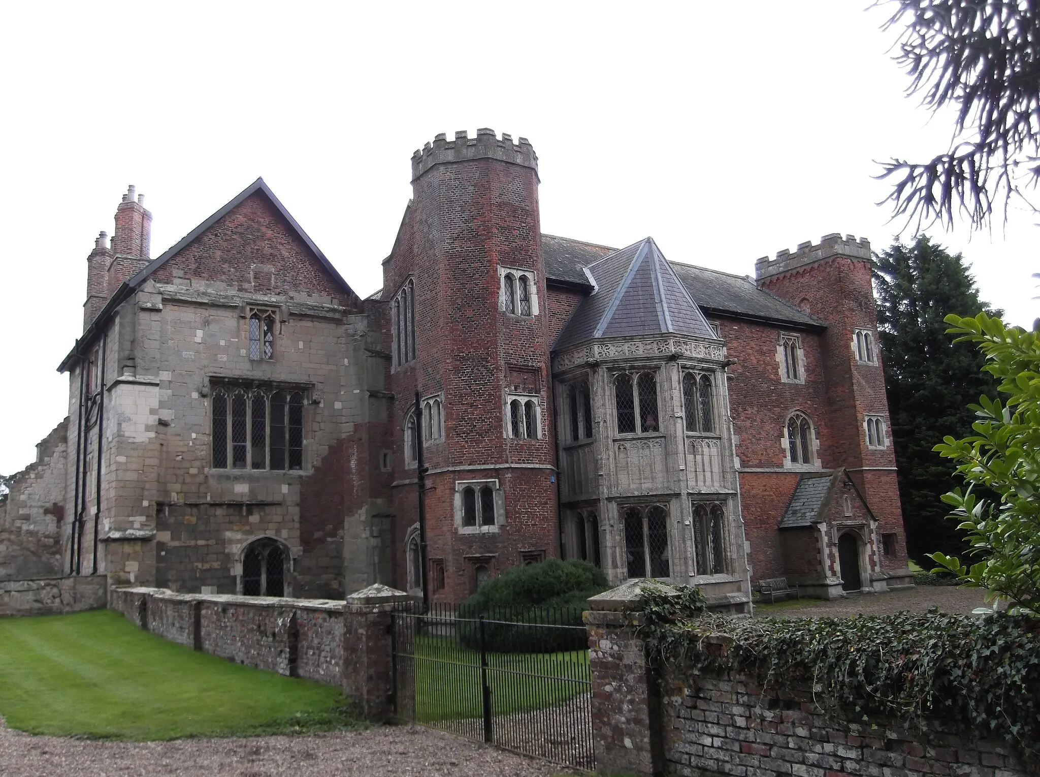
Indulge in the beauty of Sleights, a haven for road and gravel cyclists.
Cycling routes from Sleights
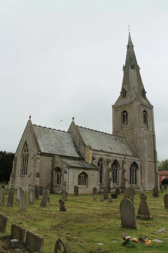
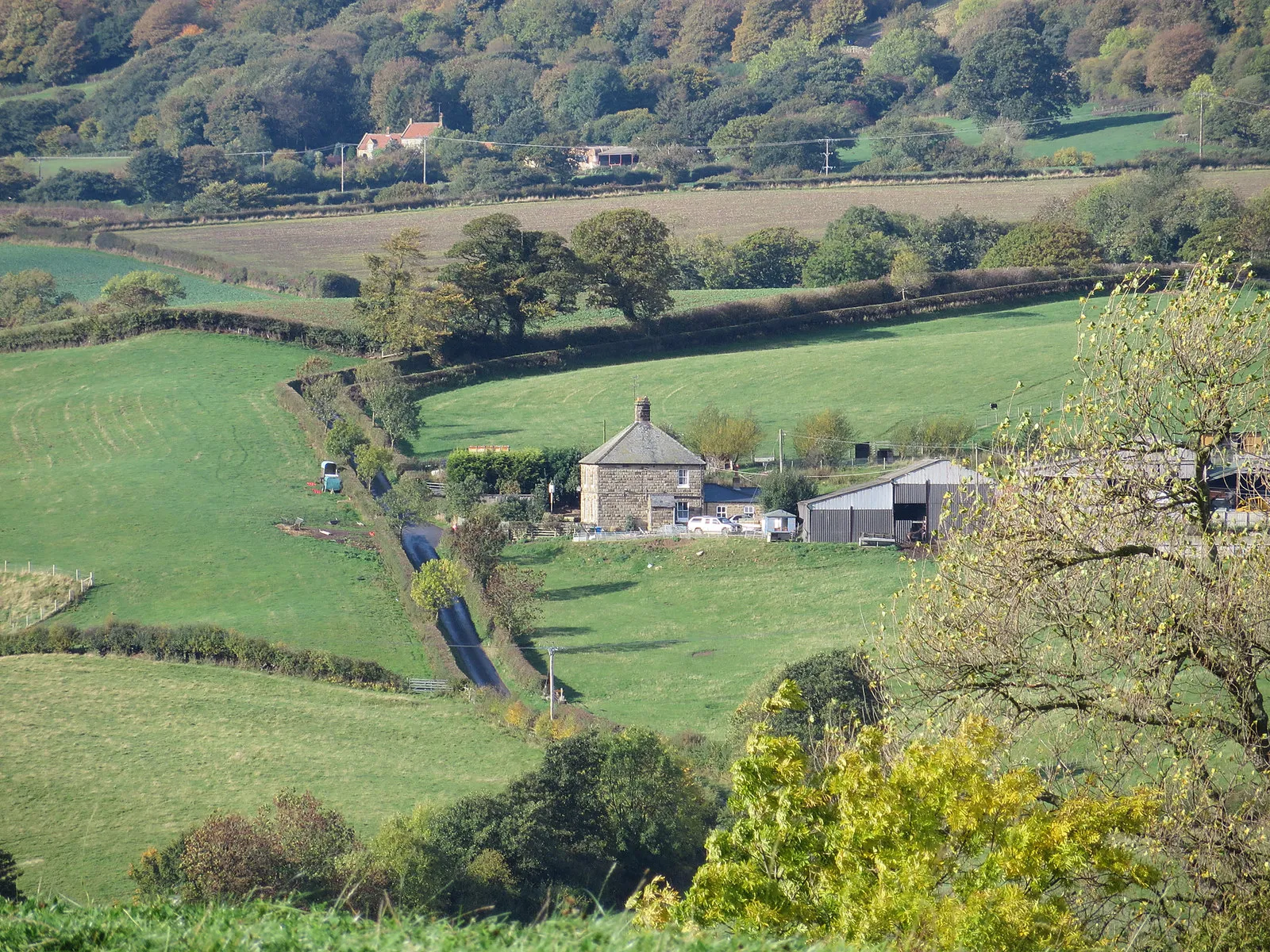
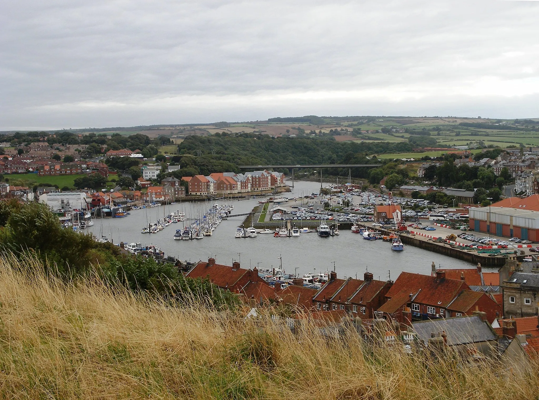
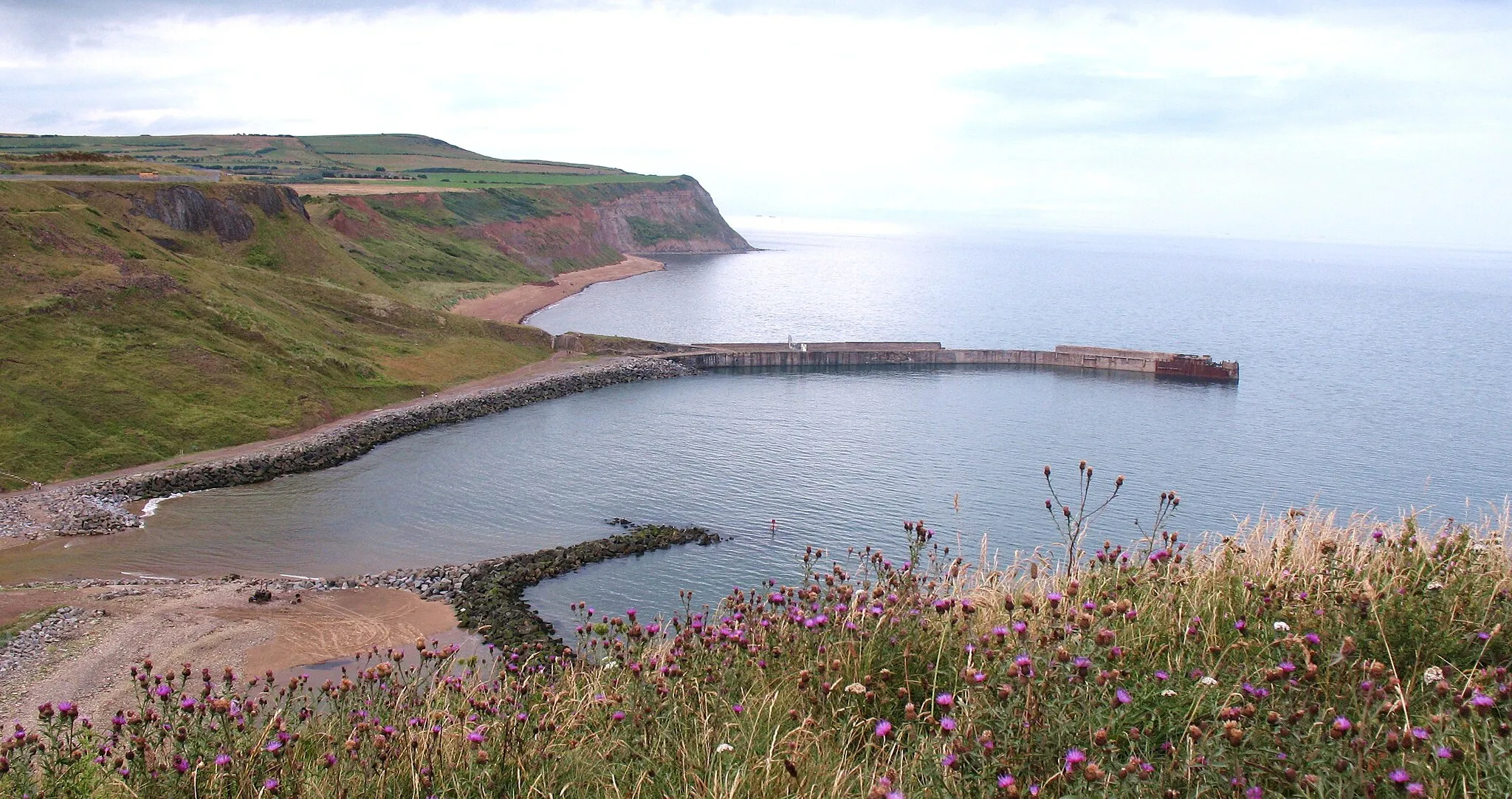
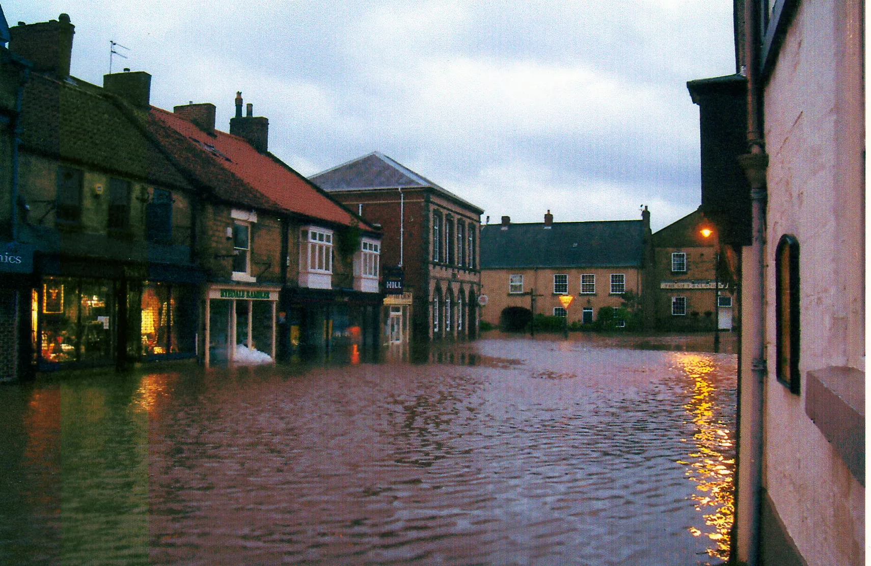
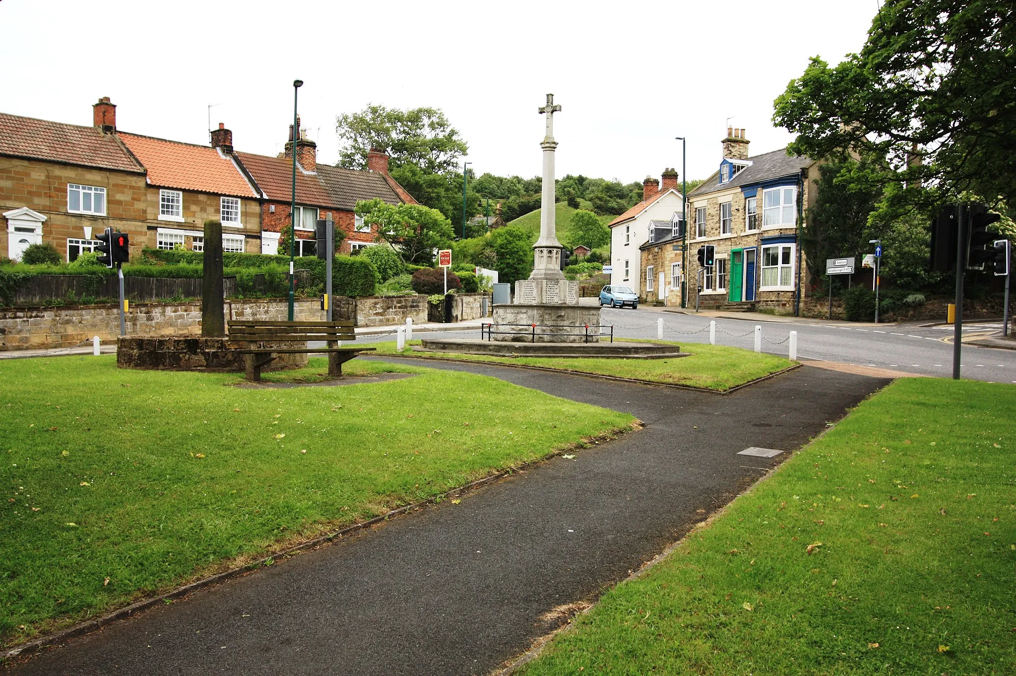
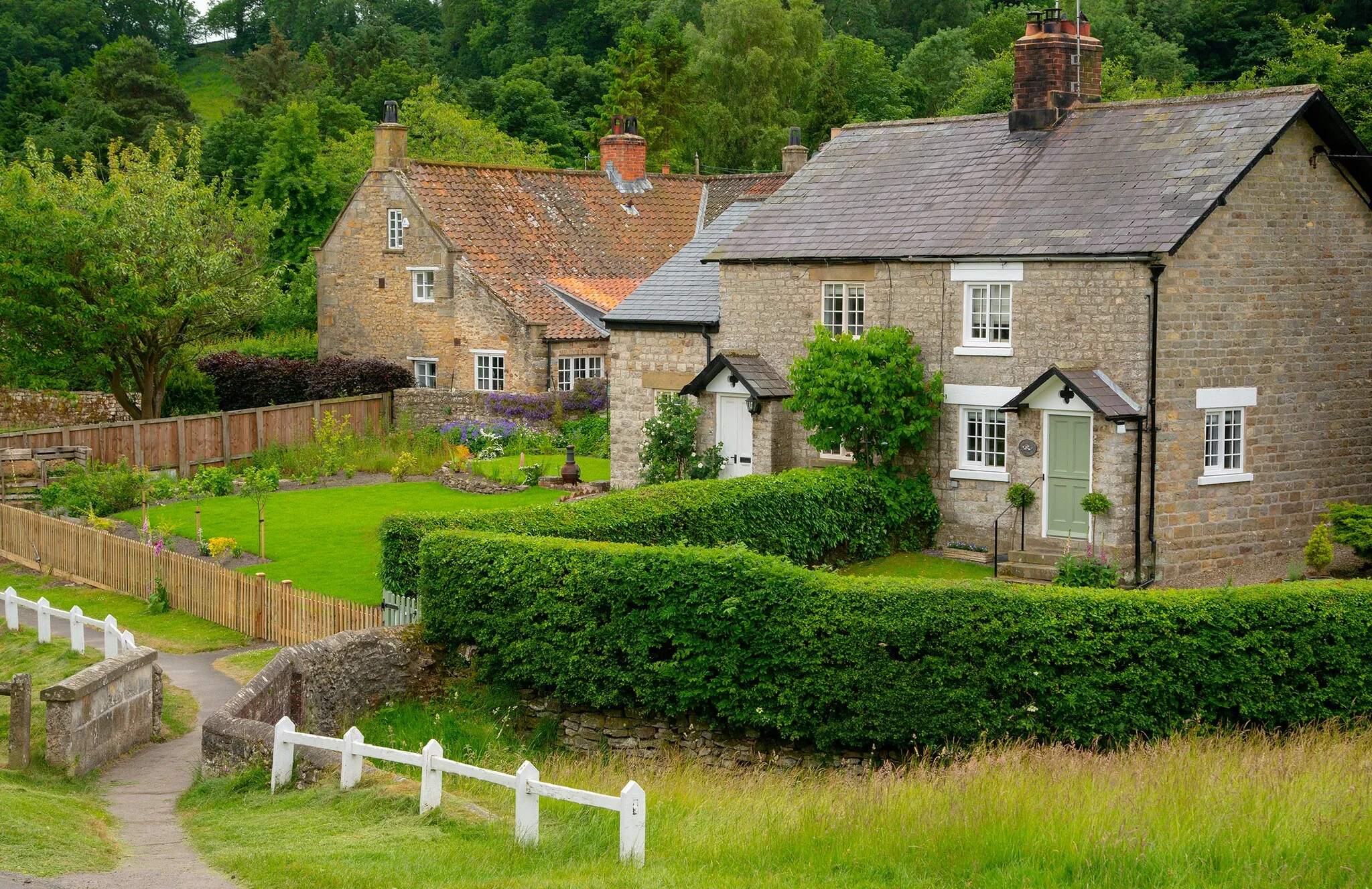
Sleights, situated in North Yorkshire, United Kingdom, is a cyclist's paradise with its beautiful rural surroundings and cycling-friendly infrastructure. The town offers a range of well-maintained cycling routes, allowing riders to explore the picturesque countryside while enjoying a challenging ride. Sleights is near Whitby, a famous coastal destination for cyclists. Cyclists can experience the stunning coastal views as they pedal along the coastline. With its fantastic cycling opportunities and scenic landscapes, Sleights is a top choice for road and gravel cyclists.
Experience the beauty of Ugglebarnby and Thornton-le-Dale on this road cycling route
This road cycling route combines scenic beauty with challenging climbs, starting from Sleights. Enjoy a 85-kilometer journey through picturesque villages, including Ugglebarnby, Hackness, Thornton-le-Dale, Stape, and Lucy's View. With a total ascent of 1356 meters, this route is perfect for cyclists looking for a mix of stunning scenery and challenging terrain. Don't miss out on the charming pubs and local attractions along the way.
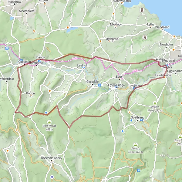
Embark on a gravel adventure exploring the scenic wonders near Sleights
This gravel cycling route takes you on a thrilling adventure through the scenic wonders near Sleights. With a total distance of 55 kilometers and an ascent of 917 meters, it offers a challenging but rewarding ride. Highlights of the route include Lucy's View, Beck Hole, Ledging Hill, Castleton, Danby Beacon, and Sleights. Experience the tranquility of the countryside and discover hidden gems along the way.
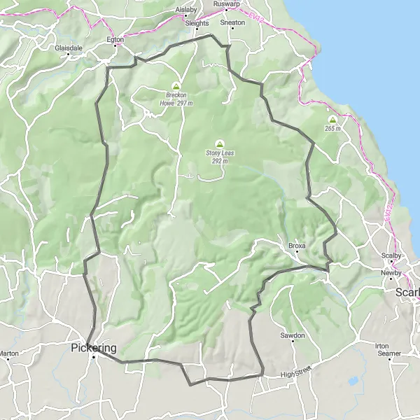
Embark on an epic road cycling adventure through the stunning landscapes of North Yorkshire
The North Yorkshire Grand Tour is a challenging road cycling route starting from Sleights. It takes you on a 109-kilometer journey through picturesque villages, rolling hills, and picturesque countryside. With a total ascent of 1400 meters, this route is suitable for experienced cyclists seeking an exhilarating challenge. Highlights include Sleights, Breckon Howe, Lockton, Norton-on-Derwent, South Holme, Gillamoor, Ledging Hill, Danby Castle, Egton, and Lucy's View. Don't forget to take breaks and admire the breathtaking views throughout the ride.
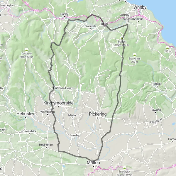
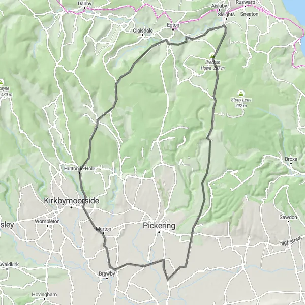
Explore the beautiful countryside and historic sites along this road loop
This 77-kilometer road route takes you through picturesque countryside and historic sites. The route starts in Sleights and offers a challenging climb with a total ascent of 1316 meters, making it suitable for experienced riders. Highlights along this route include Eskdaleside at 1 kilometer, Pickering Castle at 26 kilometers, Ana Cross at 47 kilometers, and Lealholm at 64 kilometers. Each stop introduces you to a different aspect of North Yorkshire's rich history and beautiful landscapes. From ancient castles to the rolling hills of the Moors, this route offers a perfect blend of nature and heritage.
Sleights and Iburndale Loop
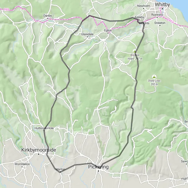
Explore the picturesque countryside of North Yorkshire on this road cycling route
This road cycling route takes you through the beautiful countryside of North Yorkshire, starting from Sleights. You will pass through Iburndale, Lockton, Stape, and Grosmont, experiencing stunning views and charming villages along the way. The route has a total ascent of 1023 meters and covers a distance of 58 kilometers. It is suitable for well-trained amateurs and offers a challenging and rewarding ride.
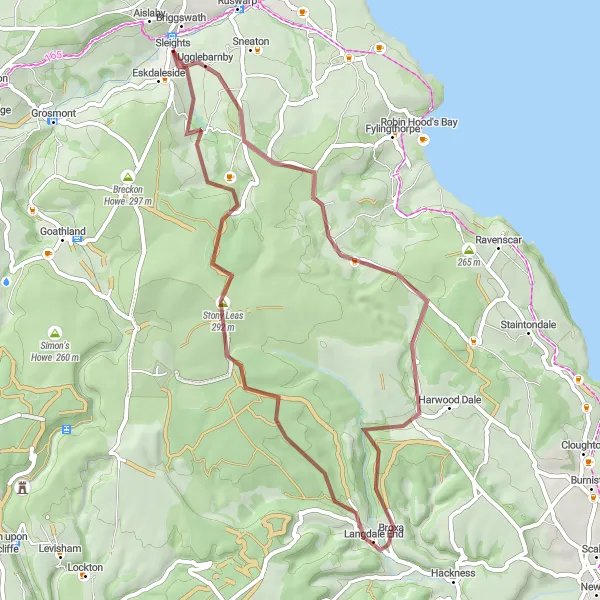
Explore the charming villages of Briggswath and Langdale End
This 48-kilometer gravel route takes you through the scenic villages of Briggswath and Langdale End. The route offers a moderate climb with a total ascent of 843 meters. One of the highlights of this route is the picturesque Langdale End, located at the 25-kilometer mark. With its quaint cottages and beautiful surroundings, Langdale End provides a perfect setting for a relaxing break. Other notable highlights include Stony Leas at 36 kilometers and Littlebeck at 44 kilometers. Overall, this route showcases the beauty of North Yorkshire's countryside and its charming villages.
Experience the beauty of Egton Bridge and Kirby Misperton on this road cycling route
This road cycling route starts from Sleights and takes you on an 81-kilometer journey through the stunning landscapes of North Yorkshire. Enjoy the picturesque beauty of Egton Bridge, Sleights, Breckon Howe, Thornton-le-Dale, Kirby Misperton, Hutton-le-Hole, and Ana Cross. With a total ascent of 1207 meters, this route is suitable for experienced cyclists looking for a challenging and rewarding ride. Take the time to appreciate the breathtaking scenery and discover hidden treasures along the way.
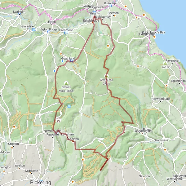
Discover the enchanting Falling Foss Waterfall and beautiful landscapes of Goathland
Embark on this 46-kilometer gravel route that takes you to the mesmerizing Falling Foss Waterfall before taking you through the picturesque village of Goathland. With an ascent of 879 meters, this route provides a moderate challenge for cyclists. Notable highlights include Falling Foss Waterfall at 7 kilometers, Stony Leas at 12 kilometers, Goathland at 36 kilometers, and the stunning viewpoint known as Lucy's View at 43 kilometers. Each highlight adds its own charm to the route, from the natural beauty of the waterfall to the historic ambiance of Goathland village. This route offers both scenic and cultural attractions in North Yorkshire's countryside.
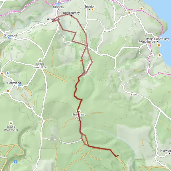
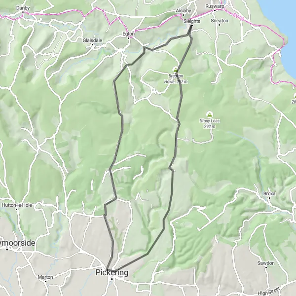
Experience the peacefulness of the Falling Foss Waterfall
This 36-kilometer gravel route takes you through the beautiful village of Sleights, where you can enjoy a tranquil ride surrounded by nature. The main highlight of this route is the stunning Falling Foss Waterfall, located at the 29-kilometer mark. The ascent is moderate, with a total climb of 721 meters. Overall, this route offers a picturesque cycling experience that combines the charm of Sleights village with the majestic beauty of Falling Foss Waterfall.
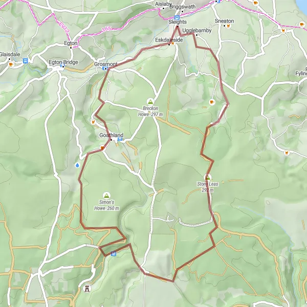
Immerse yourself in the beauty of Ugglebarnby and Goathland
Embark on this 66-kilometer gravel route that takes you through the scenic villages of Ugglebarnby and Goathland. The route offers a challenging climb with a total ascent of 1187 meters, making it suitable for experienced riders. Notable highlights along this route include Stony Leas at 12 kilometers, Lockton at 41 kilometers, and the picturesque village of Goathland at 58 kilometers. Sleights, your starting point, is also worth exploring with its serene ambiance. This route provides a scenic and exhilarating cycling experience, surrounded by the natural beauty of the North York Moors.
Cycling routes nearby:
Nearby regions: