Escape to the scenic countryside of Crossgar for a leisurely cycling adventure.
Cycling routes from Crossgar
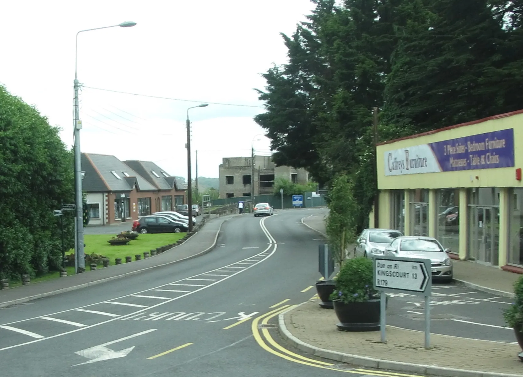
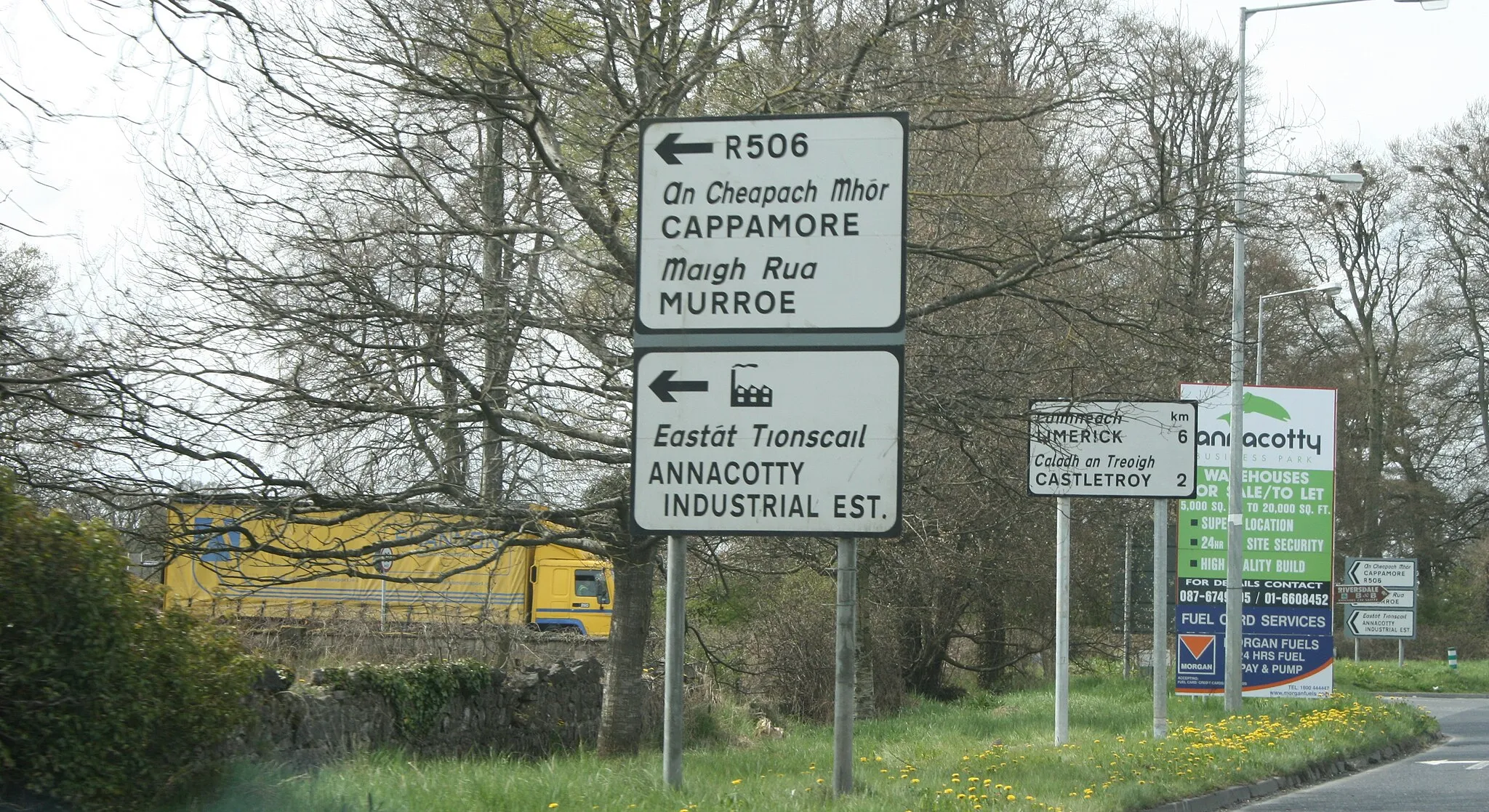
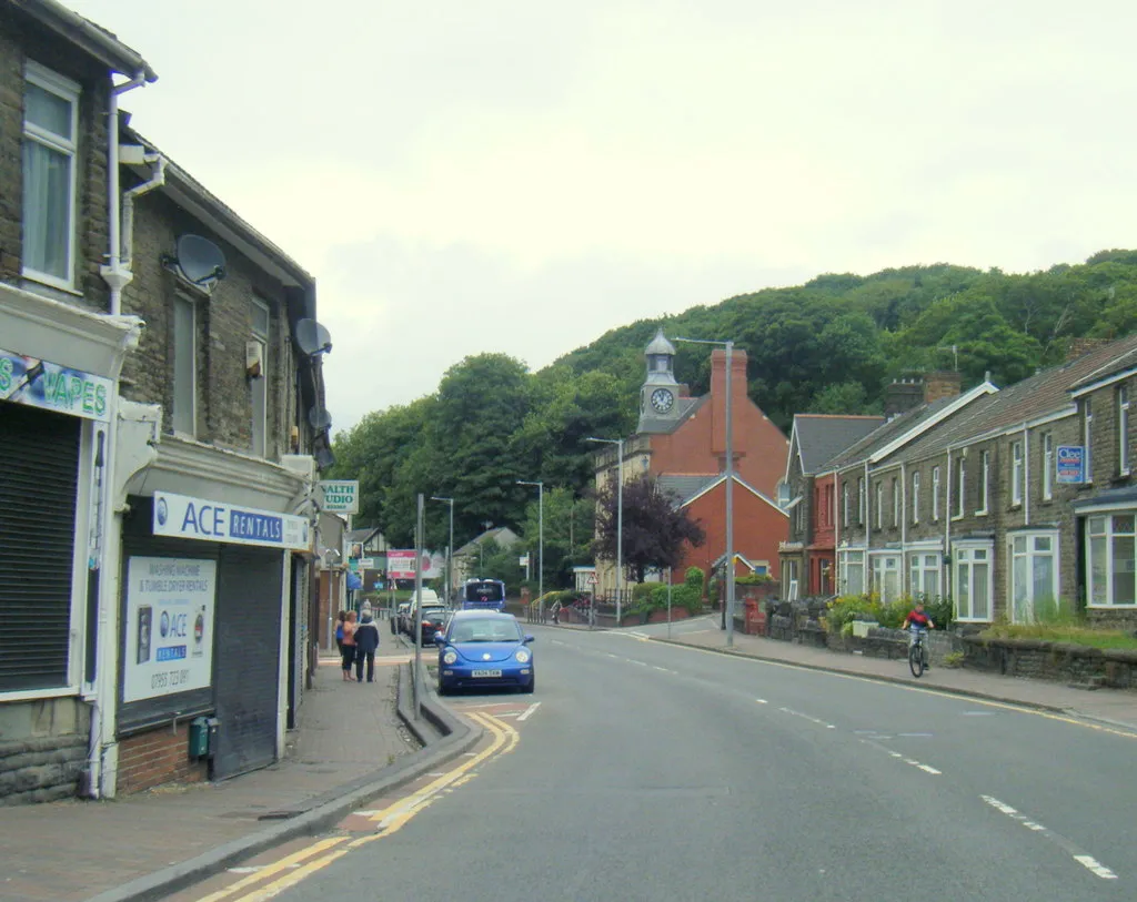
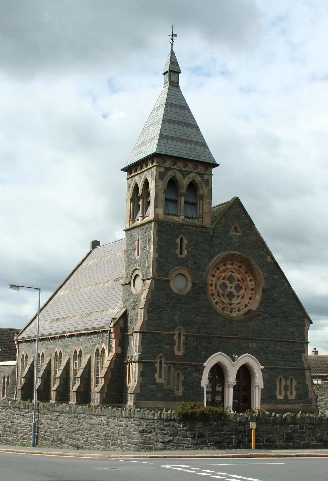
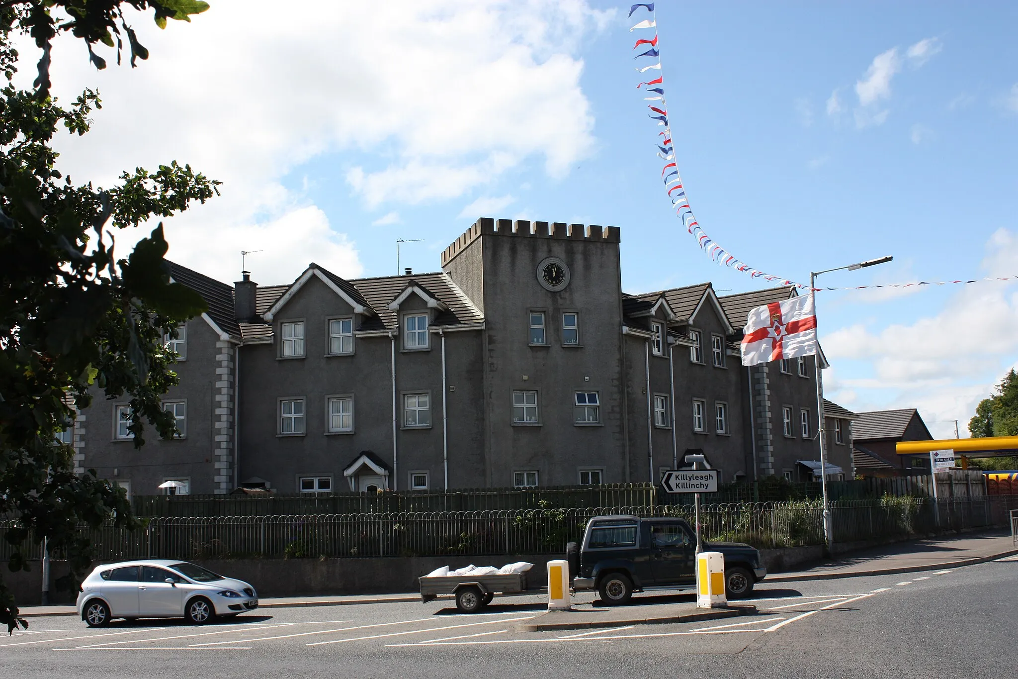
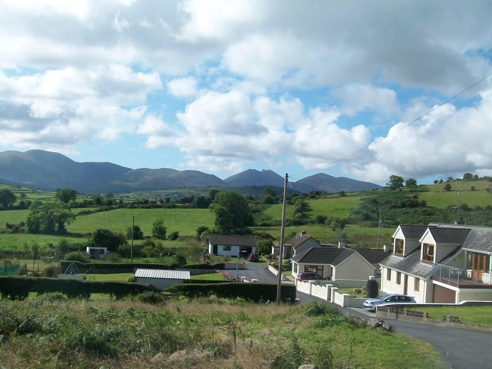
Crossgar, located in Northern Ireland, offers a pleasant cycling experience with its picturesque countryside and charming villages. Cyclists can explore the quiet rural roads that wind through the rolling hills, enjoying stunning views along the way. For gravel cycling enthusiasts, the locality provides access to the Ballydougan Off-Road Trails, offering a mix of challenging terrain and beautiful natural surroundings. Crossgar offers a great escape for cyclists seeking a peaceful ride through captivating landscapes.
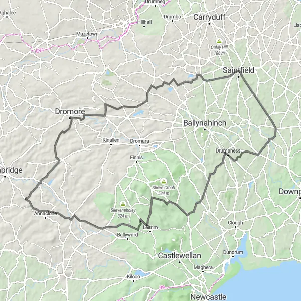
Experience the natural beauty of Drumaness, Crossgar, and Drumaroad on this scenic cycling route.
This intermediate-level round-trip cycling route takes you through the stunning countryside of Drumaness, Crossgar, and Drumaroad. With a distance of 96 kilometers and an ascent of 791 meters, this road cycling route offers a mix of challenging climbs and breathtaking views. Highlights include Drumaness, Drumaroad, Lighthouse Road viewpoint, Annahilt, Saintfield, and Crossgar.
Drumaness and Hillsborough Loop
Embark on a scenic adventure through the countryside, featuring the picturesque landscapes of Drumaness and Hillsborough.
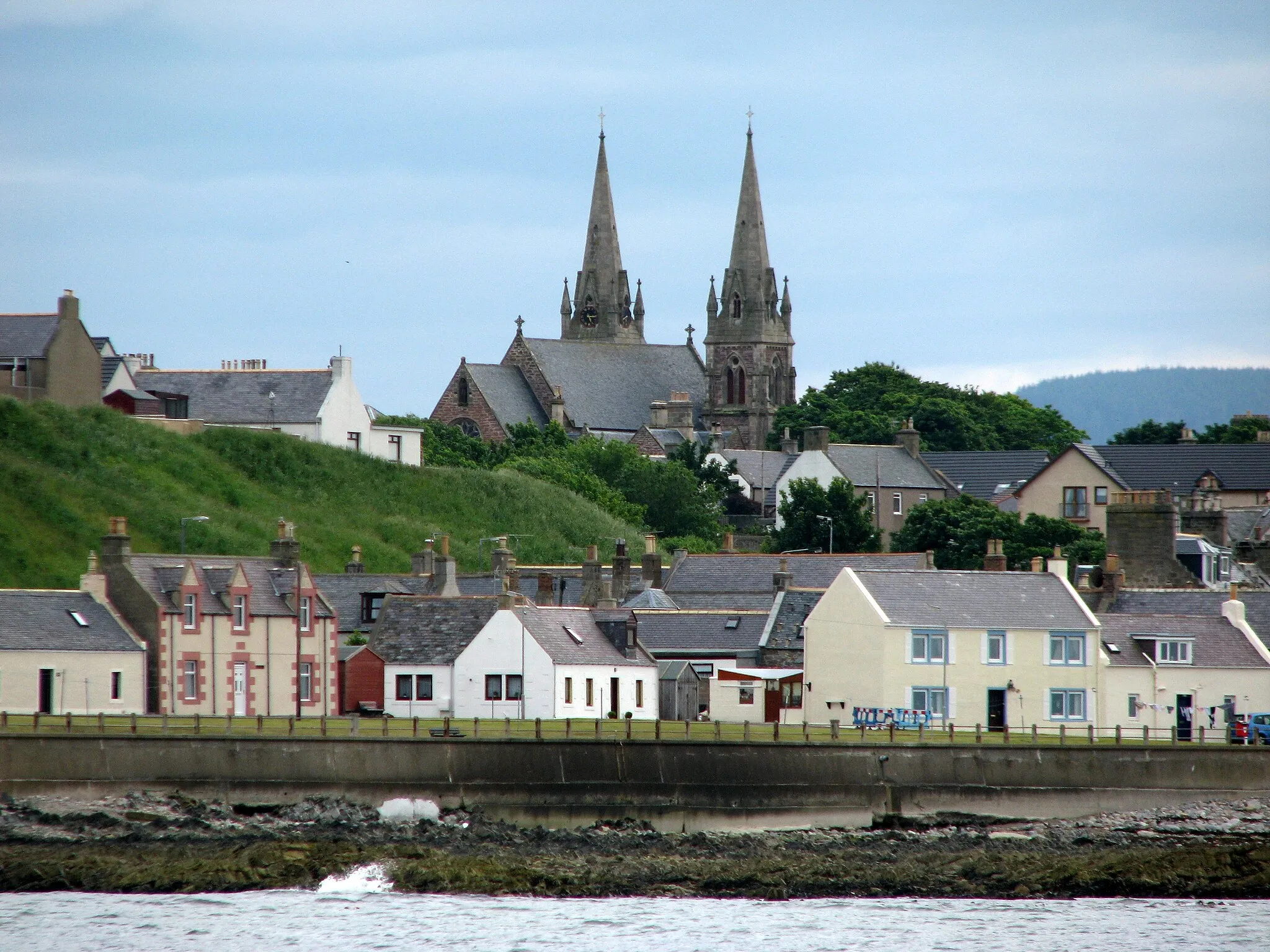
This 64-kilometer route offers a pleasant cycling experience for riders of all levels, with a difficulty rating of 2. Starting near Crossgar, cyclists will pedal through the charming village of Drumaness, known for its idyllic scenery and friendly atmosphere. As you journey towards Hillsborough, take in the stunning views of the Royal Hillsborough's rolling hills. The highlight of the route is reaching Hillsborough, known for its historic fort and castle. Discover the town's market square and enjoy a well-deserved break at one of the local cafes. Overall, this route provides a mix of natural beauty and cultural heritage, making it ideal for a relaxing day of cycling.
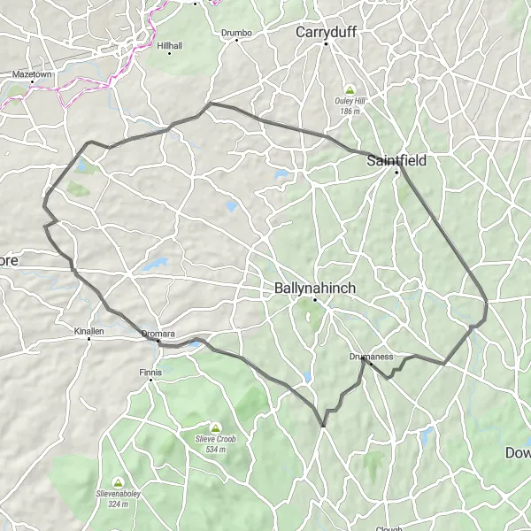
Discover the scenic beauty of Drumaness and Crossgar on this delightful cycling journey.
This moderate-level round-trip cycling route takes you through the charming countryside of Drumaness and Crossgar. With a distance of 57 kilometers and an ascent of 436 meters, this road cycling route is suitable for cyclists of all levels. Highlights include Drumaness, Dromara, and Annahilt.
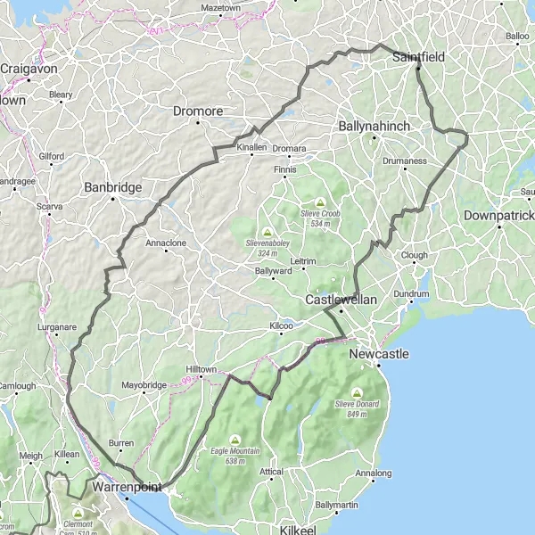
Embark on a challenging adventure exploring the majestic landscapes of Loughinisland and Spelga.
This 139-kilometer route provides a thrilling cycling experience for enthusiasts seeking significant ascent and epic natural beauty. With a difficulty level rating of 4, this route requires good physical fitness and stamina. Starting near Crossgar, the ride takes you through the charming village of Loughinisland and offers breathtaking views along the way. The highlight of the route is reaching Spelga, famous for its scenic reservoir and surrounding hills. Explore the stunning landscape and be inspired by the beauty of nature. Cyclists will enjoy a sense of achievement as they conquer challenging hills and appreciate the diverse landscapes of Northern Ireland.
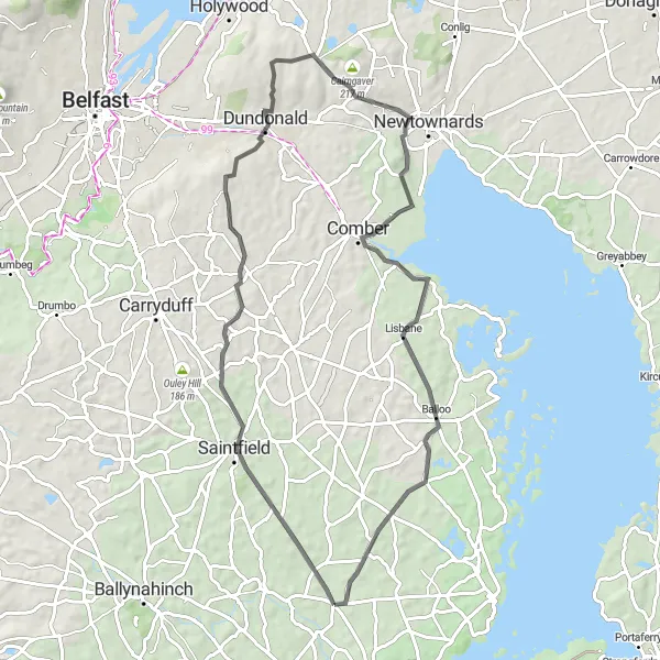
Embark on a scenic journey through Saintfield and visit the iconic Scrabo Tower along the way.
Cyclists will enjoy this 65-kilometer route with moderate difficulty, taking them through the picturesque town of Saintfield and offering the opportunity to visit the stunning Scrabo Tower. Starting near Crossgar, this route provides a mix of serene countryside and cultural attractions. As you cycle through Saintfield, admire its Georgian architecture and historical charm. The highlight of the route is reaching the impressive Scrabo Tower, offering panoramic views of the surrounding landscape. Overall, this route offers a delightful cycling experience with a balance of natural beauty and cultural exploration.
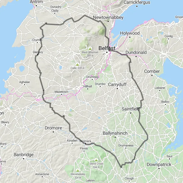
Embark on an adventurous cycling journey from Crossgar to Belfast.
This challenging round-trip cycling route takes you from Crossgar to Belfast, passing through various towns and scenic spots. With a distance of 125 kilometers and an ascent of 991 meters, this road cycling route is suitable for experienced cyclists. Highlights include Loughinisland, Dromara, Maghaberry, Glenavy, and Hyde Park.
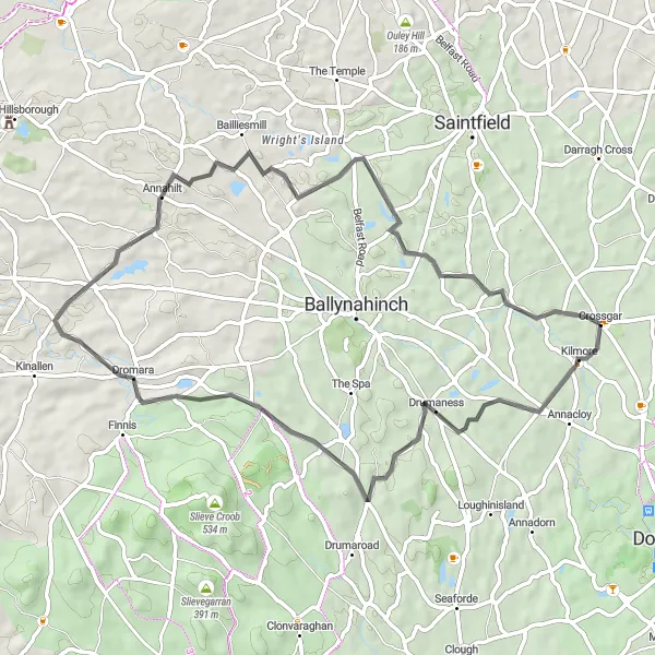
Enjoy a delightful circular route through Drumaness and Annahilt, highlighting the scenic landscapes of Northern Ireland.
With a total distance of 49 kilometers, this cycling route offers a pleasant journey in the Northern Irish countryside. Experience the peaceful ambiance and idyllic scenery of Drumaness as you start your ride near Crossgar. The highlight of the route is reaching Annahilt, a charming village surrounded by beautiful landscapes. Take a moment to explore its peaceful atmosphere before returning to Crossgar. Cyclists will appreciate the moderate difficulty level of this route, making it suitable for a leisurely day of cycling amidst stunning rural scenery.
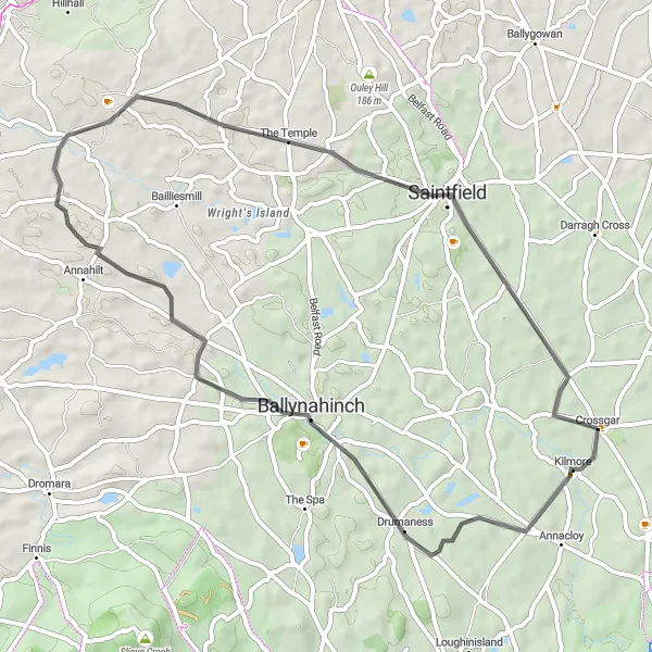
Annacloy - Crossgar Loop
Immerse yourself in the natural beauty of Annacloy and Crossgar on this scenic round-trip cycling route.
This intermediate-level round-trip cycling route takes you through the picturesque countryside of Annacloy and Crossgar. With a distance of 86 kilometers and an ascent of 790 meters, this road cycling route is suitable for cyclists looking for both a challenge and stunning scenery. Highlights include Annacloy, Bryansford, Salmon Leap, Ballyroney, Kinallen, and Saintfield.
Loughinisland – Kinallen Loop
Explore the beautiful Loughinisland and Kinallen areas on this scenic loop.
This round-trip cycling route takes you through the picturesque countryside of Crossgar, Northern Ireland. Starting at Loughinisland, you'll cycle through Clonvaraghan Mountain and Leitrim before reaching Kinallen. Along the way, you'll enjoy stunning views and charming rural landscapes. This intermediate-level route covers a distance of 75 kilometers with a total ascent of 665 meters.
Discover the beautiful landscapes of Loughinisland and Annsborough on this scenic cycling route.
Experience the picturesque countryside and charming villages along this 72-kilometer route. With a moderate difficulty level, cyclists of all skill levels can enjoy the rolling hills and breathtaking views. The route starts near Crossgar and takes you through the idyllic village of Loughinisland, known for its historic sites and rural beauty. As you cycle through Annsborough, you'll pass by tranquil lakes and enjoy the peaceful ambiance of the area. Overall, this route offers a pleasant cycling experience with a mix of natural beauty and rural charm.
Cycling routes nearby:


Nearby regions: