Scenic Rides and Rustic Charm in Stanhope
Cycling routes from Stanhope
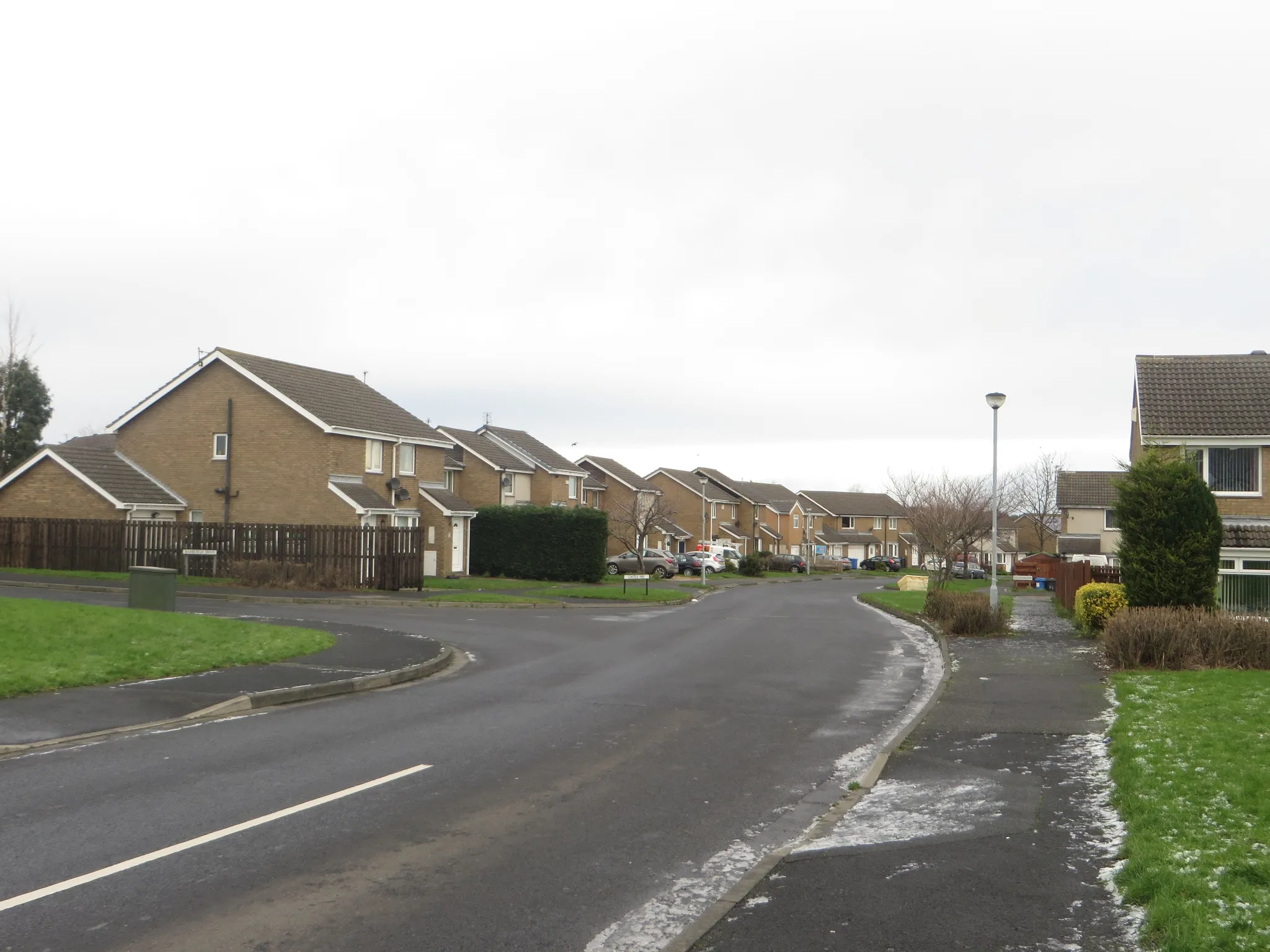
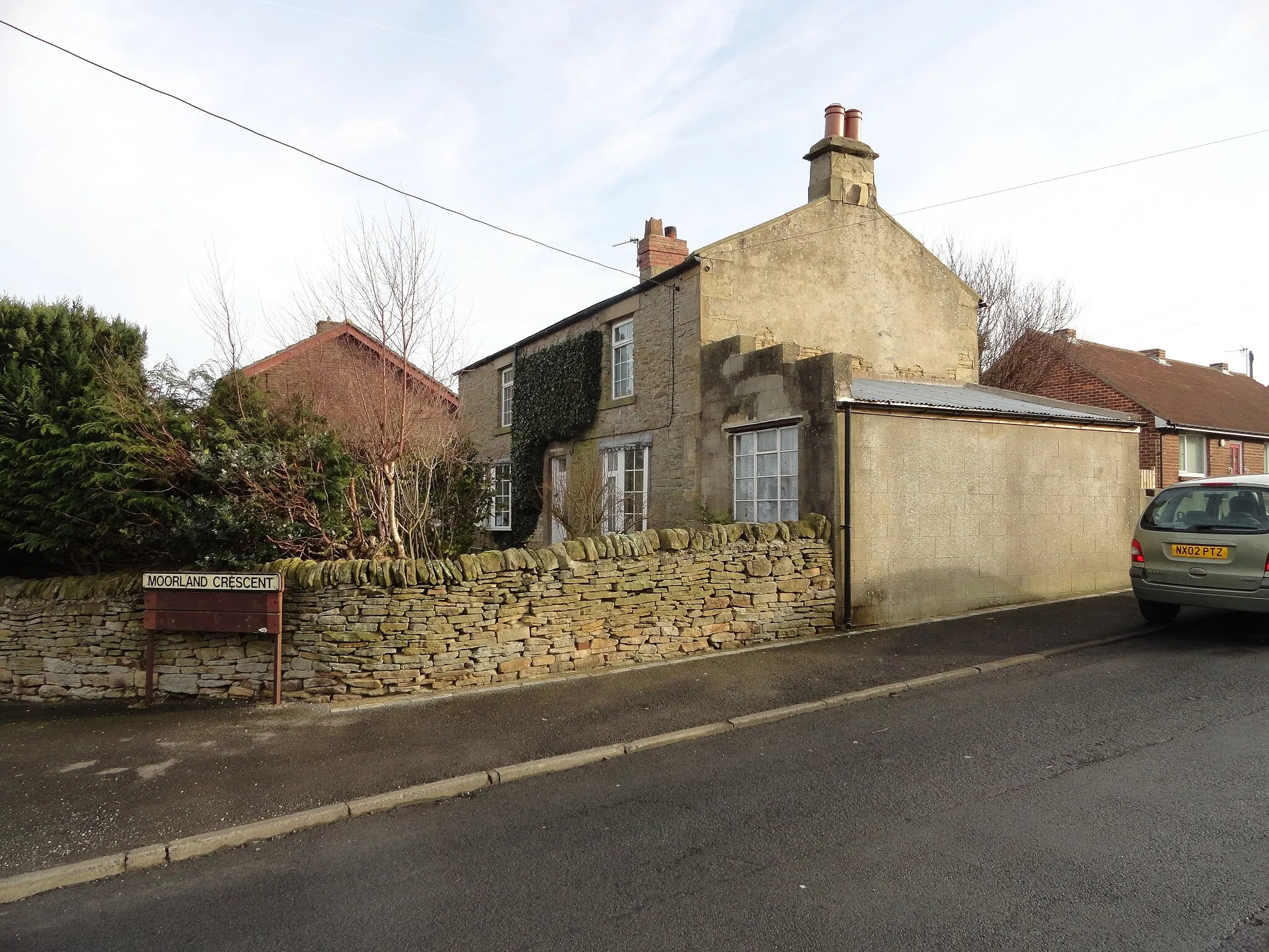
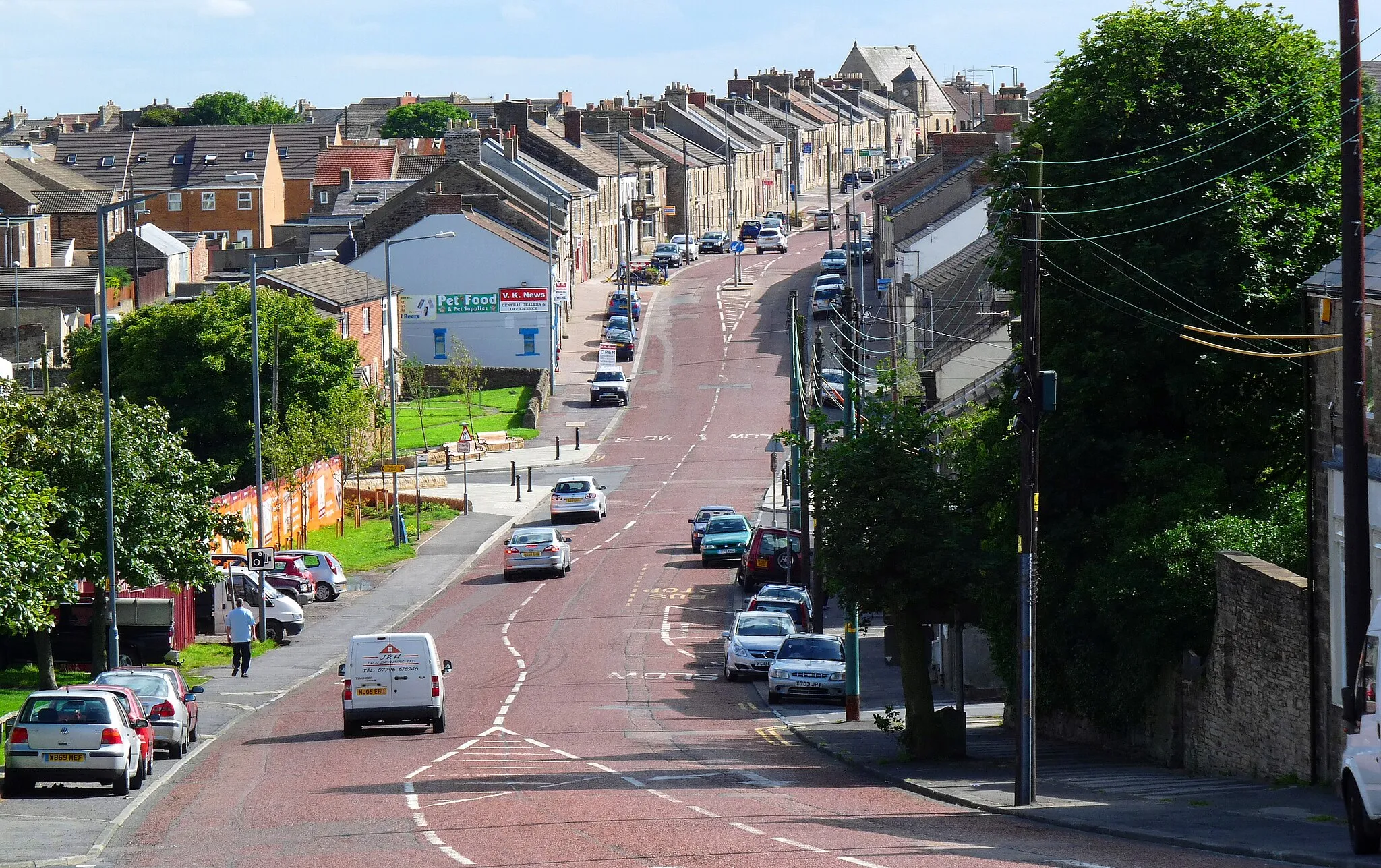
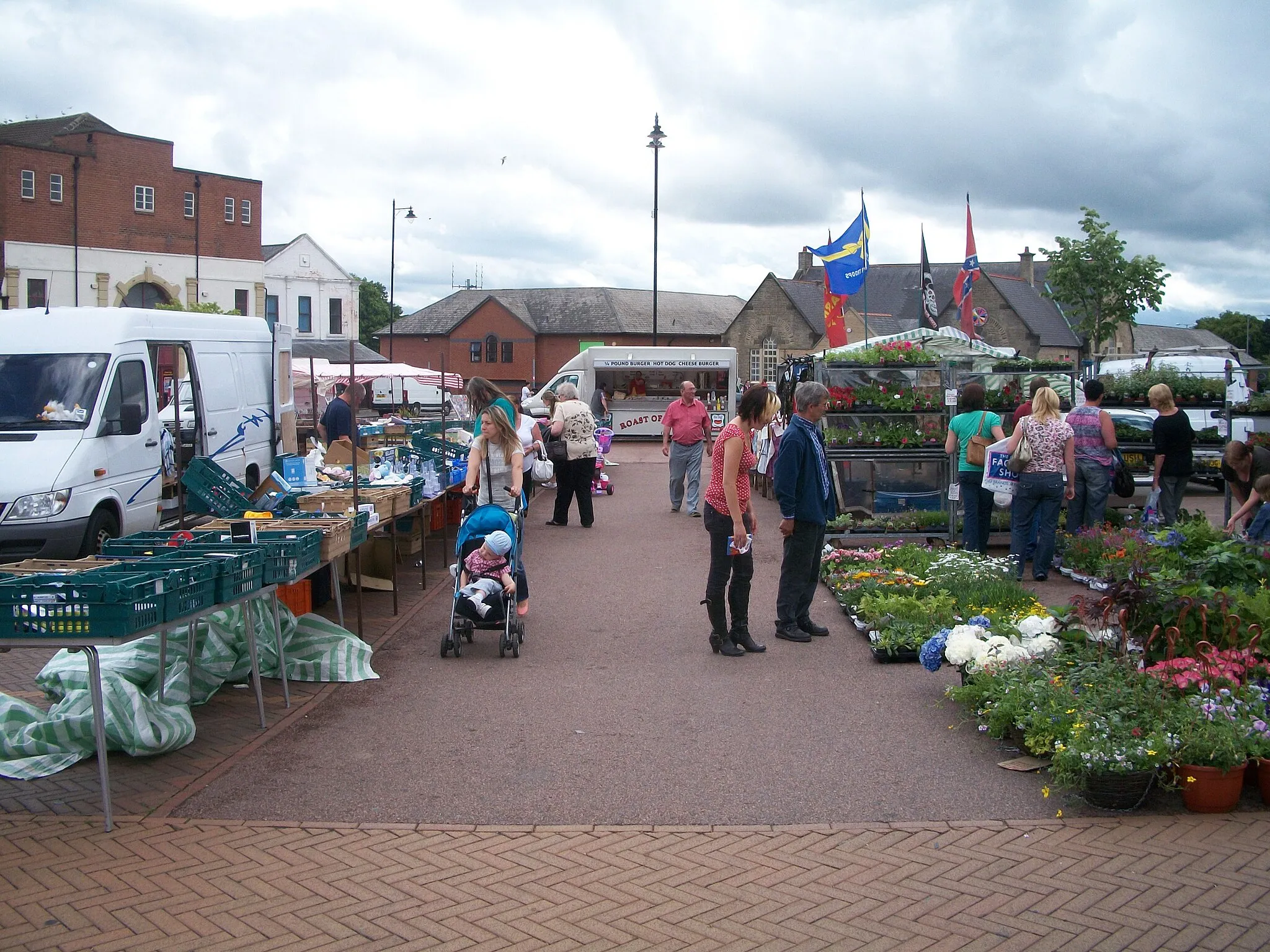
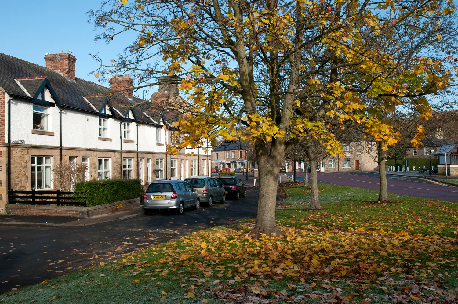
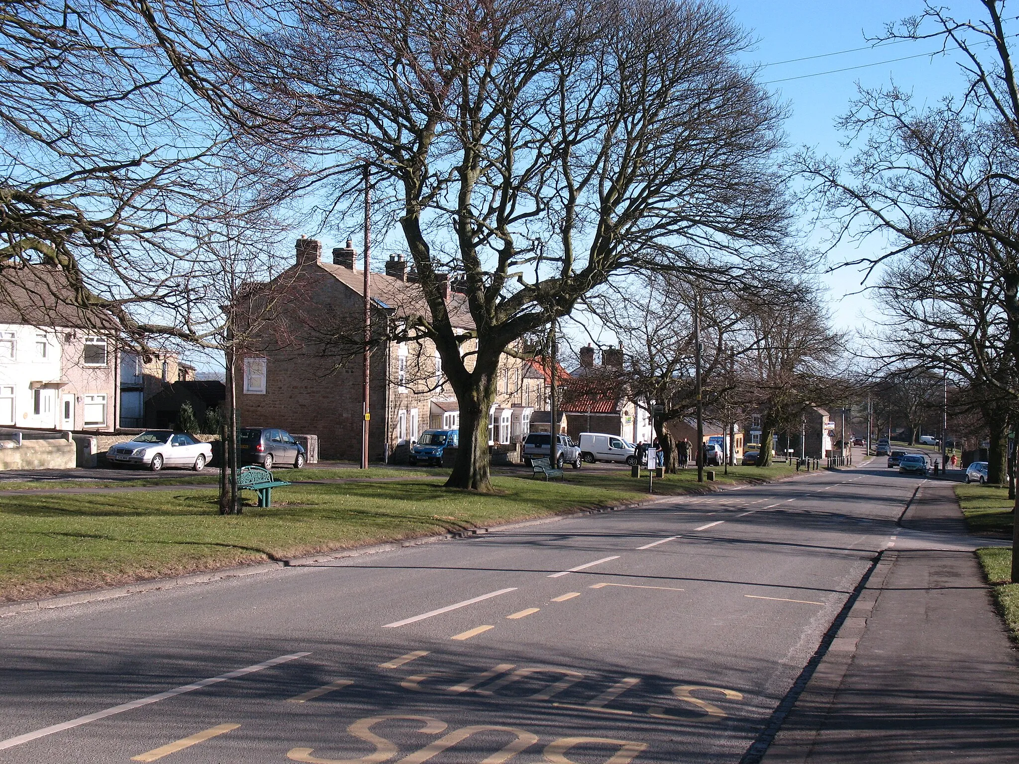
Stanhope, situated in the Tees Valley and Durham region of the United Kingdom, is a delightful locality offering a great cycling experience. The area features picturesque countryside, charming villages, and rolling hills to conquer. A notable cycling spot nearby is the Weardale Way, an off-road trail that follows the River Wear. Stanhope is a perfect base for exploring the stunning Durham Dales and other scenic cycling routes in the region.
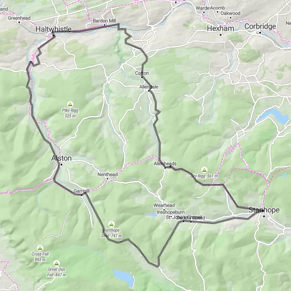
Embark on an adventure through the rugged beauty of Nenthead
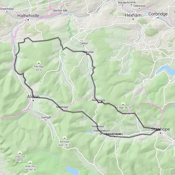
The Nenthead Adventure is a road cycling route that starts near Stanhope and takes you through the rugged landscapes of Nenthead. The highlight of the route is Crawleyside, a challenging climb known for its stunning views at the top. The route also takes you through Westgate, Nenthead, Alston, Kitten Tom, Whitfield, and finally back to Stanhope. With a total distance of 97 kilometers and an ascent of 1581 meters, this route offers a thrilling ride through unspoiled nature and picturesque villages.
Waskerley Gravel Loop
Experience the rugged beauty of Waskerley and enjoy a challenging gravel route
Embark on an adventurous gravel route that takes you through the picturesque landscapes near Waskerley. With a total distance of 33 km and an ascent of 386 meters, this route is suitable for experienced gravel riders seeking a thrilling off-road experience.
Immerse yourself in the breathtaking countryside beauty on this road escape near Durham
Embrace the captivating charm of Durham on this 83 km road tour, featuring an ascent of 904 meters. Meander along picturesque routes, explore historic locations, and uncover the hearth of Durham's countryside through quaint villages and stunning landscapes.
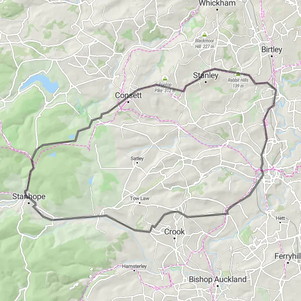
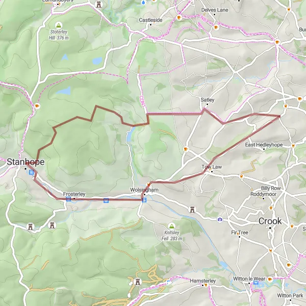
Durham Heritage Tour
Immerse yourself in the rich heritage of Durham on this road cycling route
The Durham Heritage Tour is a road cycling route that starts near Stanhope and takes you on a journey through history. The highlight of the route is Bishop Auckland, home to the famous Bishop Auckland Palace and the awe-inspiring Auckland Castle. The route also takes you through Healeyfield, Hetton-le-Hole, Peterlee, Trimdon, Witton le Wear, Knitsley Fell, and finally back to Stanhope. With a total distance of 128 kilometers and an ascent of 1563 meters, this route offers both a challenging ride and the opportunity to explore Durham's cultural heritage.
Crow Coal Hill Gravel Route
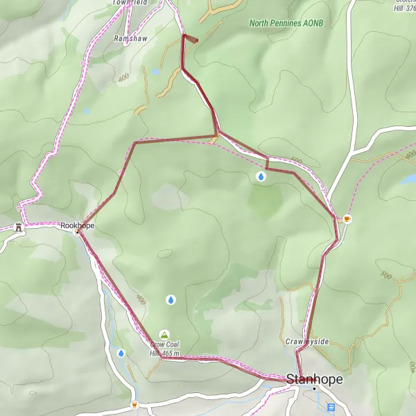
Beautiful gravel route near Stanhope
This gravel route near Stanhope is both challenging and picturesque. With a total distance of 27 km and an ascent of 518 m, it offers a rewarding cycling experience. The route takes you through stunning landscapes and highlights include the scenic Crow Coal Hill, Rookhope, and Stanhope.

Explore the scenic beauty of Blanchland on this gravel adventure
Embark on a scenic gravel adventure with this route near Stanhope that takes you to the picturesque village of Blanchland. Covering a distance of 68 km and climbing a total of 1094 m, this route offers a perfect balance of challenge and breathtaking landscapes. Highlights include Blanchland, Broomley, Ebchester, Consett, Healeyfield, and Stanhope.
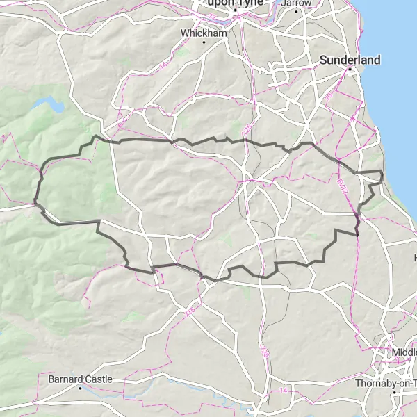
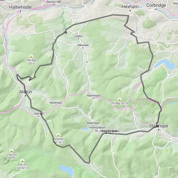
Explore the scenic moors and valleys of Teesdale on this challenging road adventure
The Moors and Valleys Road Adventure is a 120 km route with an ascent of 1757 meters, showcasing the stunning beauty of Teesdale. Meander through picturesque villages, conquer challenging climbs, and immerse yourself in the unique charm of the region.
Pennine Hills Road Tour
Embark on a challenging road tour through the Pennine Hills, conquering famous climbs along the way
With a distance of 114 km and an ascent of 1832 meters, the Pennine Hills Road Tour offers a challenging adventure for road cyclists. The route takes you through breathtaking landscapes, historic villages, and offers several opportunities to test your climbing skills.
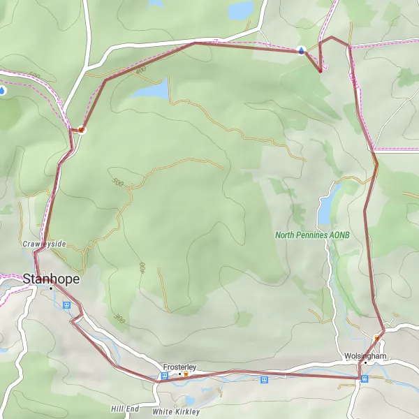
Frosterley Gravel Loop
Embark on a thrilling gravel loop through the charming village of Frosterley
Discover the rustic beauty of Frosterley while embracing the challenges of a 45 km gravel loop with an ascent of 775 meters. Traverse through scenic landscapes and unravel the hidden gems of this idyllic countryside.
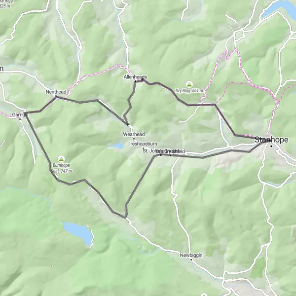
Experience the thrill of a challenging road route near Stanhope
Get ready for an adrenaline-filled adventure on this challenging road cycling route near Stanhope. Covering a distance of 71 km and an ascent of 1413 m, this route is perfect for experienced cyclists seeking a challenge. Highlights along the way include Daddry Shield, Harthope Head, Garrigill, Flinty Fell, Allenheads, Crow Coal Hill, and Stanhope itself.
Cycling routes nearby:

Nearby regions: